 Block
Calumet Harbor, Wisconsin
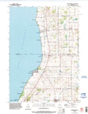
12 topographic sheets cover this place, the earliest surveyed in 1910 and the latest in 1992. It stands in Calumet town. It lies in ZIP code area 53049. It stands on Pipe Creek. The Survey maps it on the Brothertown quadrangle.
On record in Calumet Harbor
Buildings and businesses the archive holds for this place. Each opens its own page, with the source record it came from.
On the National Register within a mile 1 record
The National Register names another town for these. They stand within one mile of this settlement's coordinate.
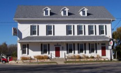 Club Harborlisted 1980 · 0.9 miles away
Topographic sheets covering this place
7 surveys from 12 printed sheetsMatched by testing this settlement's coordinate against the published boundary of every sheet in the United States Geological Survey's historical collection. Each opens the scanned sheet at the Survey.
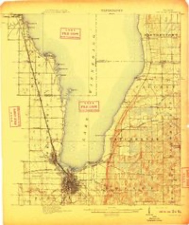
- 1910 USGS Fond du Lac quadrangle1:62500, 2 printings
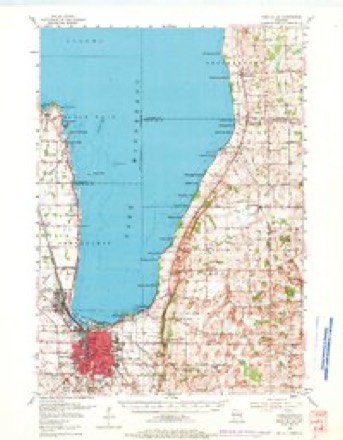
- 1955 USGS Fond Du Lac quadrangle1:62500, 2 printings
- 1957 USGS Madison quadrangle1:250000, 3 printings
- 1960 USGS Madison quadrangle1:250000, 2 printings
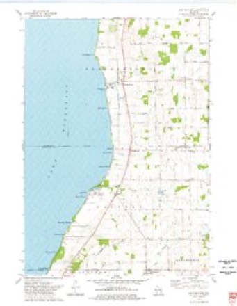
- 1974 USGS Brothertown quadrangle1:24000
- 1980 USGS Fond Du Lac quadrangle1:100000
- 1992 USGS Brothertown quadrangle1:24000



In the county-history sources
5,392 words on this townshipThe History of Fond Du Lac County, Wisconsin, published 1880 names this settlement in its chapter on Calumet Town. These are the passages that mention it, exactly as the scans read.
JACOB KEIKER!^, dealer in general nierehandise, Calumet Harbor; was born in the city of Marne, Holstein, Geriiiany, December ol. 1833. He attended the schools in his native city and obtained a proficient education. In 18-tS, he emigrated to this country with his purents, and settled with them at New Holstein, Calumet Co., Wis , where they remained until the following spring. 1840, when they moved to this town (Calumet) ; iu 1870, he engaged in the mercantile business, in Calumet Harbor, and now has a fine, prosperous and constantly increasing trade. He was appointed Postmaster in 1874, a position be still holds; has been Town Clerk since 1875, has also been elected to various school offices. Nov. 26, 1858, he married in Calumet, Miss Eleanor Punke, a native of Brannsheim, Prussia; they have seven ciiildren, viz., Mary, William, Matilda, Mena, Henry, Liuise and Heriu in. Politically, Mr. Reimers acts with the Democratic party. His father, iSIicholas lleimes, was born in Barelt, Holstein, Germany,- Nov. 17, 1801 ; he w.is a soldier for over six years in his native country, serving in the 16th Battery ; he married, Jan. IG, 1833, Miss Kathrine Peters; she was born June 24, 181)6; they came to this country in 1848 and settled at New Holstein, Calumet Co., thus becoming pioneer settlers; they lived in New Holstein until the spring of 1849, when they came to Calumet, where she died June 0, 1876. She was a woman of rare Christian viriues, and one who will be long remembered for her many acts of kindness. He is still living in Calumet, an old and honored citizen ; to him belongs the credit of blazing and cutting out the first road from Marytown to New Holstein, Calumet Co.; this he did in 1848 while he was emigrating to that place. That portion of the county w.is then heavily timbered, and it took him several days to make the trip and do the necossury clearing to make the way passable. The Reimers family are all members of the Lutheran Church.
Passage source: The History of Fond Du Lac County, Wisconsin, published 1880.
(jiEORCiE REICHART, general blacksmithing, Calum. t Harbor; is a native of t.ermany ; was born Jan. 2, 1843 ; in 1849, he emigrated with his parents to this country ; they settled at Addison, Washington Co., Wis., where George was educated ; he learned the blacksmithing trade at Hartford, Wis.; worked for the Government, during the war of the rebellion, as a blacksmith. In 1866. he married, in Fond du Lac City, Wis., Miss Fredrica Ehlers ; they have three children - Rose, Anna and Henrietta. He engaged in business in Fond du Lac in 1868, and in 1875, moved to Calumet Harbor, where he has been successfully engaged in the business of blacksmithing since. Politically, he acts with the Democratic party.
Passage source: The History of Fond Du Lac County, Wisconsin, published 1880.
Machine-read from a century-old scan, so expect the errors a machine makes: misspelled names, dropped words, stray characters.
Read the whole chapter on Calumet Town - it names this place 10 more 10 times.
Fires near this place
4 since 2018Regional context, not property-specific evidence. The federal wildfire occurrence database lists 4 fires within 5 miles of Calumet Harbor in 2018, burning about 15 acres in total. None started naturally. None was recorded as arson. Distance is straight-line from the map coordinates, so a fire counted here may appear on a neighbouring settlement's page as well.
| Reported cause | Fires |
|---|---|
| Missing data/not specified/undetermined | 2 |
| Debris and open burning | 1 |
| Equipment and vehicle use | 1 |
The most recent of them, most recent first, with the day each was reported and the service that recorded it.
| Date | Cause | Size | Reported by | Name on the report |
|---|---|---|---|---|
| 5 July 2018 | Missing data/not specified/undetermined | under an acre | Wisconsin Department of Natural Resources | 2018053 |
| 24 July 2018 | Equipment and vehicle use | 15 acres | Wisconsin Department of Natural Resources | 2018057 |
| 30 April 2018 | Missing data/not specified/undetermined | under an acre | Wisconsin Department of Natural Resources | 2018036 |
| 25 April 2018 | Debris and open burning | under an acre | Wisconsin Department of Natural Resources | 2018035 |
Settlements close enough to share some of these fires:
Mines and quarries near this place
2 within 5 milesRegional context, not property-specific evidence. The federal mineral resources record lists 2 workings within 5 miles of Calumet Harbor: 2 past producers. None of them still produces. What was taken out: Sand and Gravel, Construction, Stone, Crushed/Broken. Distance is straight-line from the map coordinates, so a quarry counted here may appear on a neighbouring settlement's page as well.
| Where | Site | Commodity | Status | Recorded |
|---|---|---|---|---|
| John L. Schmitz Pit | Sand and Gravel, Construction | Past Producer | ||
| Silica Quarry | Stone, Crushed/Broken | Past Producer |
Nearest settlements
The eight closest, with where each one stands in the county. Distances are straight-line, computed from the Geographic Names Information System coordinates.
| Map | Place | Distance | Sheets |
|---|---|---|---|
| Winnebago Heights | 1.0 miles | 12 | |
| Pipe | 1.0 miles | 12 | |
| Pukwana Beach | 1.3 miles | 12 | |
| Highland Park | 1.5 miles | 12 | |
| Artesia Beach | 1.8 miles | 12 | |
| Winnebago Park | 2.2 miles | 12 | |
| Calumetville | 2.2 miles | 12 | |
| Laudolff Beach | 2.8 miles | 12 |
Provenance
This settlement is recorded in the Geographic Names Information System as feature 1562522. The sheet list is computed by point-in-boundary test against the United States Geological Survey's historical topographic inventory. Both are works of the United States government and carry no copyright under 17 U.S.C. 105.
Wildfire. Short, Karen C. 2022. Spatial wildfire occurrence data for the United States, 1992-2020 [FPA_FOD_20221014]. 6th Edition. Fort Collins, CO: Forest Service Research Data Archive. https://doi.org/10.2737/RDS-2013-0009.6 Collected with United States Government funding and usable without additional permissions or fees.
Mines and quarries. USGS Mineral Resources Data System (MRDS) https://mrdata.usgs.gov/mrds/ A work of the United States government, no copyright under 17 U.S.C. 105.