 Block
Calumetville, Wisconsin
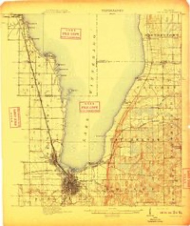
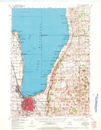
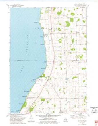
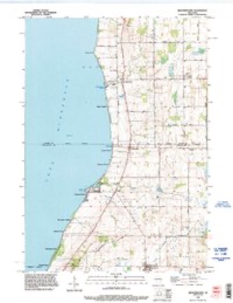
12 topographic sheets cover this place, the earliest surveyed in 1910 and the latest in 1992. It stands in Calumet town. It lies in ZIP code area 53049. The Survey maps it on the Brothertown quadrangle.
Topographic sheets covering this place
7 surveys from 12 printed sheetsMatched by testing this settlement's coordinate against the published boundary of every sheet in the United States Geological Survey's historical collection. Each opens the scanned sheet at the Survey.
- 1910 USGS Fond du Lac quadrangle1:62500, 2 printings
- 1955 USGS Fond Du Lac quadrangle1:62500, 2 printings
- 1957 USGS Madison quadrangle1:250000, 3 printings
- 1960 USGS Madison quadrangle1:250000, 2 printings
- 1974 USGS Brothertown quadrangle1:24000
- 1980 USGS Fond Du Lac quadrangle1:100000
- 1992 USGS Brothertown quadrangle1:24000



In the county-history sources
5,392 words on this townshipThe History of Fond Du Lac County, Wisconsin, published 1880 names this settlement in its chapter on Calumet Town. These are the passages that mention it, exactly as the scans read.
The first settlement in Calumet was made in 1837, near what was afterward known as Pipe Village, by Rev. George White, William Urmston and a Mr. Norton, Mr. White, however, locating there first. About the same time or a little later, a company of Germans settled in the north part of the town, which then formed a part of Calumet County. In 1 840, this part was, on application being made to the Legislature of the Territory, by George White, set off from Calumet and joined to Fond du Lac County. The town was organized March 8, 1839, including a large territory. It was re-organized in 1842, the first election being held in April of that year, at Mr. White's house. George White was elected Chairman, and Charles Amidon, Clerk. The town is watered by springs and brooks, some of which help to form the Manitowoc River, while the waters of others flow into Winnebago Lake. At the present time, as well as when in its native wildness, no country in the State has a more pleasing aspect than that high, dry, rich portion of Calumet which lies just back from the shore of Lake Winnebago. It is the most picturesque town in Fond du Lac County. In 1851, Herman Heeson erected a large stone flouring-mill close to the lake shore a little below Pipe Village, and, in 1854, Mr. Allen erected, on the road from Taycheedah to Pipe Village, another flouringmill, to run by water carried high in the air to a very large "overshot" wheel.* In 1838 and 1»39, Pipe Village was much more of a business center than Fond du Lac, as it contained a store of goods for Indian trading, and the Germans wex"e coming in very rapidly, many of them bringing considerable capital ; and at one time the town of Calumet cast more votes than the village and very large town of Fond du Lac. The "Ledge" extends through this town nearly parallel with the lake shore; and, besides being in early days the refuge of numberless snakes and wild animals, was the source of numerous beautiful springs, a famous resort for nut and grape gatherers and the seat of fine stone-quarries and lime-kilns. In Calumet the roads are unusually good; fruit trees are easily cultivated and bear in comparative abundance, and grazing for sheep is especially good. While the yield of wheat per acre may not equal that of some other towns, the quality is always unsurpassed.
Passage source: The History of Fond Du Lac County, Wisconsin, published 1880.
Machine-read from a century-old scan, so expect the errors a machine makes: misspelled names, dropped words, stray characters.
Fires near this place
6 since 2018Regional context, not property-specific evidence. The federal wildfire occurrence database lists 6 fires within 5 miles of Calumetville between 2018 and 2020, burning about 23 acres in total. 1 started naturally. None was recorded as arson. Distance is straight-line from the map coordinates, so a fire counted here may appear on a neighbouring settlement's page as well.
| Reported cause | Fires |
|---|---|
| Debris and open burning | 2 |
| Missing data/not specified/undetermined | 2 |
| Equipment and vehicle use | 1 |
| Natural | 1 |
The most recent of them, most recent first, with the day each was reported and the service that recorded it.
| Date | Cause | Size | Reported by | Name on the report |
|---|---|---|---|---|
| 5 July 2018 | Missing data/not specified/undetermined | under an acre | Wisconsin Department of Natural Resources | 2018053 |
| 24 July 2018 | Equipment and vehicle use | 15 acres | Wisconsin Department of Natural Resources | 2018057 |
| 2 June 2020 | Natural | 1.0 acres | Wisconsin Department of Natural Resources | 41 |
| 30 April 2018 | Missing data/not specified/undetermined | under an acre | Wisconsin Department of Natural Resources | 2018036 |
| 25 April 2018 | Debris and open burning | under an acre | Wisconsin Department of Natural Resources | 2018035 |
| 10 November 2020 | Debris and open burning | 7.0 acres | Wisconsin Department of Natural Resources | 92 |
Settlements close enough to share some of these fires:
Mines and quarries near this place
1 within 5 milesRegional context, not property-specific evidence. The federal mineral resources record lists 1 working within 5 miles of Calumetville: 1 producer. All of them still produce. What was taken out: Stone, Crushed/Broken. Distance is straight-line from the map coordinates, so a quarry counted here may appear on a neighbouring settlement's page as well.
| Where | Site | Commodity | Status | Recorded |
|---|---|---|---|---|
| Buechel Quarry | Stone, Crushed/Broken | Producer |
Nearest settlements
The eight closest, with where each one stands in the county. Distances are straight-line, computed from the Geographic Names Information System coordinates.
| Map | Place | Distance | Sheets |
|---|---|---|---|
| Artesia Beach | 0.6 miles | 12 | |
| Pukwana Beach | 0.9 miles | 12 | |
| Pipe | 1.6 miles | 12 | |
| Garnet | 2.2 miles | 12 | |
| Calumet Harbor | 2.2 miles | 12 | |
| Winnebago Heights | 3.2 miles | 12 | |
| Highland Park | 3.7 miles | 12 | |
| Johnsburg | 4.1 miles | 12 |
Provenance
This settlement is recorded in the Geographic Names Information System as feature 1562524. The sheet list is computed by point-in-boundary test against the United States Geological Survey's historical topographic inventory. Both are works of the United States government and carry no copyright under 17 U.S.C. 105.
Wildfire. Short, Karen C. 2022. Spatial wildfire occurrence data for the United States, 1992-2020 [FPA_FOD_20221014]. 6th Edition. Fort Collins, CO: Forest Service Research Data Archive. https://doi.org/10.2737/RDS-2013-0009.6 Collected with United States Government funding and usable without additional permissions or fees.
Mines and quarries. USGS Mineral Resources Data System (MRDS) https://mrdata.usgs.gov/mrds/ A work of the United States government, no copyright under 17 U.S.C. 105.