 Block
Danville, Wisconsin
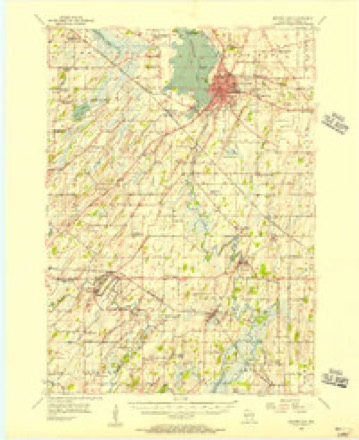
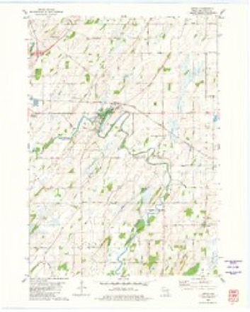
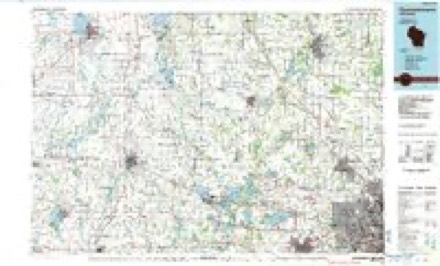
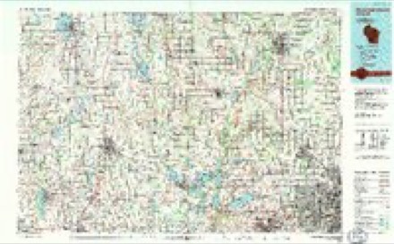
10 topographic sheets cover this place, the earliest surveyed in 1955 and the latest in 1991. It stands in Elba town. It lies in ZIP code area 53925. It stands on Nolan Creek. The Survey maps it on the Astico quadrangle. It stands 823 feet above sea level.
Topographic sheets covering this place
6 surveys from 10 printed sheetsMatched by testing this settlement's coordinate against the published boundary of every sheet in the United States Geological Survey's historical collection. Each opens the scanned sheet at the Survey.
- 1955 USGS Beaver Dam quadrangle1:62500, 2 printings
- 1957 USGS Madison quadrangle1:250000, 3 printings
- 1960 USGS Madison quadrangle1:250000, 2 printings
- 1980 USGS Astico quadrangle1:24000
- 1984 USGS Oconomowoc quadrangle1:100000
- 1991 USGS Oconomowoc quadrangle1:100000


In the county-history sources
3,289 words on this townshipThe History of Dodge County, Wisconsin, Containing ... Its Early Settlement, Growth ... an Extensive and Minute Sketch of Its Cities ... War Record, Biographical Sketches, published 1880 names this settlement in its chapter on Elba Town. These are the passages that mention it, exactly as the scans read.
JOHX S. BKAN, farmer, Sec. 14; P.O. Danville; was born in Merrimac Co., N. H., in February, ls:;it ; he came to Elba Township in March, 1861. He enli.sted, Oct. 23 of that year, in Co. D, 16th W.V. I. ; he \^as severely wounded in the arm at the battle of Shiloh ; he then, being disabled forduty in the field, engaged in the recruiting service, afterward as Clerk of Court Martial, and in Commissary Department; joined his company in October, 1863; Dec. 23, 1864, he was discharged and mustered into service as Second Lieutenant of 47th U. S. Colored Inf ; was promoted to First Lieutenant Nov. 11,1 865 ; was discharged Jan. 4, 1866. Mr. Bean was married, Oct. 26, 1864, to Ellen C. Eastman, born in New Hampshire, December, 1839 ; they have two children - Mabel O. B., and Jennie M. Bought present farm Oct. 20, 1866; he has 120 acres of land. He has been Assessor of Elba Township three terms, Justice of the Peace four terms, and Town Clerk two terms.
Passage source: The History of Dodge County, Wisconsin, Containing ... Its Early Settlement, Growth ... an Extensive and Minute Sketch of Its Cities ... War Record, Biographical Sketches, published 1880.
DA^IEl.. BRLIEC'HKR, farmer, Sec. 26; P.O. Danville; was born in Prussia in 1824; he came to this country with his parents, Daniel and Elisabeth Bruecher ; his father entered 160 acres of land in Elba Township, eighty of which is included in the farm of his son Daniel ; his parents had eight children, seven of whom are living, four of whom are residents of Dodge Co., two of Columbia Co. and one of Minnesota. His father died Nov. 1, 1857. He was married to Barbary King, whose parents came to this country from Germany in 1853 ; they have seven children - Louisa, Josephine, William, Edward, Elizabeth, Daniel and Charles. Mr. Bruecher has been a member of the Board of Supervisors of Dodge Co. for thirteen vears.
Passage source: The History of Dodge County, Wisconsin, Containing ... Its Early Settlement, Growth ... an Extensive and Minute Sketch of Its Cities ... War Record, Biographical Sketches, published 1880.
MILE!^ BURNHAlfl, farmer, Sec. 21 ; P. O. Danville; was born in Genesee Co., N. Y., in March, 1822 ; he came to Dodge Co. in October, 1844, and entered forty acres of land, where the village of Danville now stands ; he was accompanied by his cousin, Morris Burnham and Samuel Hasey ; these gentlemen were the fir.st residents of what is now Elba Township ; during this autumn, Mr. Burnham and his cousin engaged to construct a dam and saw-mill at Danville for Mr. Lawton Carrier ; but they purchased the property before the completion of the work. Mr. Burham was married to Caroline Johnson, daughter of Charles Johnson, who came from Racine to Elba Township in 1345 ; has three children - Melissa (now Mrs. John C. Brainerd), George and Matie, all residing at Blooming Prairie, Minn. Mr. B. was the first Township Clerk of Elba Township ; has been Justice of the Peace since 1852, except one year; served a term as member of the County Board of Supervisors; was elected to the Legislature in 1866. Mr. Burnham has the honor of being the oldest settler of Elba Township; the respect and confidence in which he is held by his fellow- citizens is indicated by the many places of public trust which he has held.
Passage source: The History of Dodge County, Wisconsin, Containing ... Its Early Settlement, Growth ... an Extensive and Minute Sketch of Its Cities ... War Record, Biographical Sketches, published 1880.
Machine-read from a century-old scan, so expect the errors a machine makes: misspelled names, dropped words, stray characters.
Read the whole chapter on Elba Town - it names this place 14 more 14 times.
Fires near this place
25 since 1992Regional context, not property-specific evidence. The federal wildfire occurrence database lists 25 fires within 5 miles of Danville between 1992 and 2020, burning about 53 acres in total. None started naturally. 1 was recorded as arson. Distance is straight-line from the map coordinates, so a fire counted here may appear on a neighbouring settlement's page as well.
| Reported cause | Fires |
|---|---|
| Debris and open burning | 10 |
| Equipment and vehicle use | 7 |
| Missing data/not specified/undetermined | 6 |
| Arson/incendiarism | 1 |
| Smoking | 1 |
The most recent of them, most recent first, with the day each was reported and the service that recorded it.
| Date | Cause | Size | Reported by | Name on the report |
|---|---|---|---|---|
| 16 September 2012 | Debris and open burning | under an acre | Wisconsin Department of Natural Resources | BERNDT TRASH PILE |
| 1 August 2012 | Equipment and vehicle use | under an acre | Wisconsin Department of Natural Resources | HWY 151 |
| 4 July 2001 | Equipment and vehicle use | under an acre | Wisconsin Department of Natural Resources | not named |
| 13 July 2004 | Equipment and vehicle use | under an acre | Wisconsin Department of Natural Resources | not named |
| 30 May 2001 | Debris and open burning | under an acre | Wisconsin Department of Natural Resources | not named |
| 15 May 2018 | Missing data/not specified/undetermined | under an acre | Wisconsin Department of Natural Resources | 74 |
| 7 April 2020 | Missing data/not specified/undetermined | 1.0 acres | Wisconsin Department of Natural Resources | 111 |
| 6 April 1992 | Smoking | 5.0 acres | Wisconsin Department of Natural Resources | not named |
Settlements close enough to share some of these fires:
Mines and quarries near this place
4 within 5 milesRegional context, not property-specific evidence. The federal mineral resources record lists 4 workings within 5 miles of Danville: 2 producers, 1 unknown, 1 past producer. 2 still produce. What was taken out: Stone, Crushed/Broken, Sand and Gravel, Construction. Distance is straight-line from the map coordinates, so a quarry counted here may appear on a neighbouring settlement's page as well.
| Where | Site | Commodity | Status | Recorded |
|---|---|---|---|---|
| Derr Quarry | Sand and Gravel, Construction | Unknown | ||
| County Trunk K Quarry | Stone, Crushed/Broken | Past Producer | ||
| Helen H Westphal Quarry | Stone, Crushed/Broken | Producer | ||
| Lucille Westphal Pit | Stone, Crushed/Broken | Producer |
Storms near this place
10 since 1994Regional context, not property-specific evidence. The National Weather Service names Danville in 10 storm reports between 1994 and 2024: 4 hail, 3 thunderstorm wind, 2 flash flood, 1 flood. No death or injury is recorded in these reports. Each account below is quoted exactly as the forecast office filed it, from the NOAA Storm Events Database, and each date opens the federal record of that event.
| When | Event | Place named | Harm | What the report says |
|---|---|---|---|---|
| July 2015 | Thunderstorm Wind | Danville | $120,000 | Straight line wind damage collapsed the roofs of three old barns and partially collapsed the roof of a pole barn. Many large tree branches snapped and some whole trees downed. Many power lines down. Some fields of corn were laid over on an angle. |
| May 2000 | Flash Flood | Danville | $20,000 | no account filed |
| July 2015 | Flash Flood | Danville | $10,000 | Urban and rural road flooding. The pooling of water on highway 151 contributed to a rollover accident near Beaver Dam. Rainfall totals of 4-6 inches. |
| April 2023 | Flood | Danville | $3,000 | A few municipalities reported water over the roadways in the southern portion of the county. Ditches and yards filled with water in Lowell. |
| May 2024 | Thunderstorm Wind | Danville | $500 | A tree snapped in half. |
| June 2020 | Thunderstorm Wind | Danville | - | Reported wind gust from law enforcement. |
| June 2001 | Hail | Danville | - | no account filed |
| March 2000 | Hail | Danville | - | no account filed |
| July 2000 | Hail | Danville | - | no account filed |
| June 1994 | Hail | Danville | - | no account filed |
Nearest settlements
The eight closest, with where each one stands in the county. Distances are straight-line, computed from the Geographic Names Information System coordinates.
| Map | Place | Distance | Sheets |
|---|---|---|---|
| Astico | 1.3 miles | 10 | |
| Reeseville | 6.0 miles | 10 | |
| Leipsig | 7.4 miles | 11 | |
| Lowell | 7.5 miles | 10 | |
| South Beaver Dam | 9.1 miles | 10 | |
| North Lowell | 9.1 miles | 10 | |
| Lost Lake | 9.8 miles | 10 | |
| Richwood | 10.6 miles | 15 |
Elsewhere
Matched on this settlement's Geographic Names Information System number rather than its name, so it cannot be a different place of the same name in another state.
| Wikipedia article on Danville | An encyclopaedic summary. Its text is share-alike, so it is linked here rather than copied. |
| Wikidata item Q5221337 | The structured record the population and elevation above come from. Public domain (CC0). |
Provenance
This settlement is recorded in the Geographic Names Information System as feature 1578577. The sheet list is computed by point-in-boundary test against the United States Geological Survey's historical topographic inventory. Both are works of the United States government and carry no copyright under 17 U.S.C. 105.
Wildfire. Short, Karen C. 2022. Spatial wildfire occurrence data for the United States, 1992-2020 [FPA_FOD_20221014]. 6th Edition. Fort Collins, CO: Forest Service Research Data Archive. https://doi.org/10.2737/RDS-2013-0009.6 Collected with United States Government funding and usable without additional permissions or fees.
Mines and quarries. USGS Mineral Resources Data System (MRDS) https://mrdata.usgs.gov/mrds/ A work of the United States government, no copyright under 17 U.S.C. 105.
Storms. NOAA National Centers for Environmental Information, Storm Events Database https://www.ncei.noaa.gov/stormevents/ A work of the United States government, no copyright under 17 U.S.C. 105. Narratives are quoted verbatim from the National Weather Service report and are not edited or summarised.