 Block
Esofea, Wisconsin
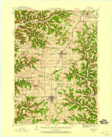
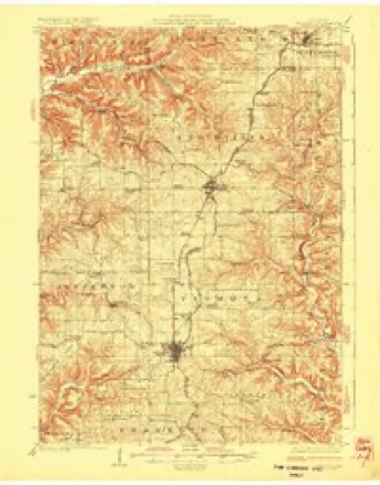
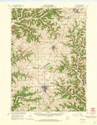
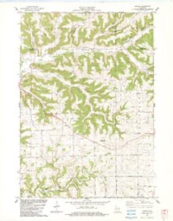
14 topographic sheets cover this place, the earliest surveyed in 1923 and the latest in 1985. It stands in Jefferson town. It lies in ZIP code area 54667. It lies near Pumpkin Ridge. The Survey maps it on the Esofea quadrangle. It stands 978 feet above sea level.
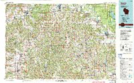
Topographic sheets covering this place
9 surveys from 14 printed sheetsMatched by testing this settlement's coordinate against the published boundary of every sheet in the United States Geological Survey's historical collection. Each opens the scanned sheet at the Survey.
- 1923 USGS Viroqua quadrangle1:62500
- 1926 USGS Viroqua quadrangle1:62500, 2 printings
- 1958 USGS La Crosse quadrangle1:250000, 2 printings
- 1961 USGS La Crosse quadrangle1:250000
- 1965 USGS La Crosse quadrangle1:250000
- 1965 USGS Viroqua quadrangle1:62500, 2 printings
- 1976 USGS La Crosse quadrangle1:250000
- 1983 USGS Esofea quadrangle1:24000, 2 printings
- 1985 USGS Sparta quadrangle1:100000, 2 printings




What happened here
An account from the chapter on Jefferson town. The inset identifies its exact source book and publication year.
Cyclone
June 23, IS'ZS, a small cyclone struck the residence of William Frazier on section 5, of town 1.3, range 5, and completely demolished it. At the time, there were eleven persons in the house - Mr. and Mrs. Frazier, and their six children, his sister-in-law and child, and a hired girl. None w^^ere killed, but several were seriously injured.
In the county-history sources
11,529 words on this townshipHistory of Vernon County, Wisconsin .., published 1884 names this settlement in its chapter on Jefferson Town. These are the passages that mention it, exactly as the scans read.
The first postmaster of Esofea postoffice was Edwin Larson. This office continued only a few years. In 1870 it was again established and M. Rentz made postmaster. He in time was succeeded by A. K. Strand, and he by Nels Johnson, who was followed by Christian Schriven.
Passage source: History of Vernon County, Wisconsin .., published 1884.
Educational matters in the town of Jefferson have ever been watched and cared for, even from the early pioneer days, with the greatest prudence and wisdom. None but the best teachers have been engaged to teach the schools. In 1884 the town contained six districts proper and four joint districts, each of which were provided with a fair school building.
Passage source: History of Vernon County, Wisconsin .., published 1884.
In 1883 the town of Jefferson supported the following branches of manufacturing industry: tannery ; broom factory ; harness and shoe shops ; furniture factory and an extensive sorghum mill. The tannery was erected in 187.', by Michael Rentz, at Esofea, and has always done a large business in the production of upper leather, lining, mitten leather, etc.
Passage source: History of Vernon County, Wisconsin .., published 1884.
Machine-read from a century-old scan, so expect the errors a machine makes: misspelled names, dropped words, stray characters.
Read the whole chapter on Jefferson Town - it names this place 5 more 5 times.
Fires near this place
5 since 2018Regional context, not property-specific evidence. The federal wildfire occurrence database lists 5 fires within 5 miles of Esofea between 2018 and 2020, burning under an acre in total. None started naturally. None was recorded as arson. Distance is straight-line from the map coordinates, so a fire counted here may appear on a neighbouring settlement's page as well.
| Reported cause | Fires |
|---|---|
| Missing data/not specified/undetermined | 4 |
| Equipment and vehicle use | 1 |
The most recent of them, most recent first, with the day each was reported and the service that recorded it.
| Date | Cause | Size | Reported by | Name on the report |
|---|---|---|---|---|
| 9 May 2020 | Missing data/not specified/undetermined | under an acre | Wisconsin Department of Natural Resources | 537 |
| 16 May 2018 | Missing data/not specified/undetermined | under an acre | Wisconsin Department of Natural Resources | 2018-17 |
| 30 April 2018 | Equipment and vehicle use | under an acre | Wisconsin Department of Natural Resources | 18057 |
| 26 April 2018 | Missing data/not specified/undetermined | under an acre | Wisconsin Department of Natural Resources | 2018-15 |
| 9 January 2018 | Missing data/not specified/undetermined | under an acre | Wisconsin Department of Natural Resources | 18003 |
Settlements close enough to share some of these fires:
Mines and quarries near this place
3 within 5 milesRegional context, not property-specific evidence. The federal mineral resources record lists 3 workings within 5 miles of Esofea: 2 past producers, 1 producer. 1 still produces. What was taken out: Stone, Crushed/Broken. Distance is straight-line from the map coordinates, so a quarry counted here may appear on a neighbouring settlement's page as well.
| Where | Site | Commodity | Status | Recorded |
|---|---|---|---|---|
| Coon Valley Quarry | Stone, Crushed/Broken | Producer | ||
| Lepke Quarry | Stone, Crushed/Broken | Past Producer | ||
| Newton Quarry | Stone, Crushed/Broken | Past Producer |
Storms near this place
7 since 2005Regional context, not property-specific evidence. The National Weather Service names Esofea in 7 storm reports between 2005 and 2026: 2 flash flood, 1 tornado, 1 thunderstorm wind, 1 flood. The reports record 1 injury. Each account below is quoted exactly as the forecast office filed it, from the NOAA Storm Events Database, and each date opens the federal record of that event.
| When | Event | Place named | Harm | What the report says |
|---|---|---|---|---|
| August 2005 | Tornado (F1) | Esofea | 1 hurt, $150,000 | no account filed |
| June 2019 | Lightning | Esofea | $75,000 | A home southeast of Coon Valley was struck by lightning with the resulting fire destroying the entire structure. |
| July 2010 | Thunderstorm Wind | Esofea | $500 | Law enforcement reported a few trees blown down near Koll Road. |
| April 2026 | Hail | Esofea | - | The public reported golf ball sized hail near Esofea. |
| September 2018 | Flash Flood | Esofea | - | A vehicle and person were trapped in flood waters near the intersections of County Highways B and KK northwest of Esofea. |
| June 2014 | Flood | Esofea | - | Flooding of low lying agricultural land occurred southwest of Westby after 3 to 5 inches of rain fell in the area. |
| June 2014 | Flash Flood | Esofea | - | Runoff from heavy rain caused the headwaters of the North Fork of the Bad Axe River to go out of its banks and over Natwick Road. The road had to be closed until the flood waters receded. |
Nearest settlements
The eight closest, with where each one stands in the county. Distances are straight-line, computed from the Geographic Names Information System coordinates.
| Map | Place | Distance | Sheets |
|---|---|---|---|
| Springville | 3.5 miles | 14 | |
| Bud | 5.2 miles | 14 | |
| Coon Valley | 5.6 miles | 11 | |
| Newton | 6.0 miles | 11 | |
| Westby | 6.0 miles | 14 | |
| Viroqua | 6.5 miles | 14 | |
| Chaseburg | 7.3 miles | 11 | |
| Purdy | 9.1 miles | 11 |
Elsewhere
Matched on this settlement's Geographic Names Information System number rather than its name, so it cannot be a different place of the same name in another state.
| Wikipedia article on Esofea | An encyclopaedic summary. Its text is share-alike, so it is linked here rather than copied. |
| Wikidata item Q5398607 | The structured record the population and elevation above come from. Public domain (CC0). |
Provenance
This settlement is recorded in the Geographic Names Information System as feature 1564696. The sheet list is computed by point-in-boundary test against the United States Geological Survey's historical topographic inventory. Both are works of the United States government and carry no copyright under 17 U.S.C. 105.
Wildfire. Short, Karen C. 2022. Spatial wildfire occurrence data for the United States, 1992-2020 [FPA_FOD_20221014]. 6th Edition. Fort Collins, CO: Forest Service Research Data Archive. https://doi.org/10.2737/RDS-2013-0009.6 Collected with United States Government funding and usable without additional permissions or fees.
Mines and quarries. USGS Mineral Resources Data System (MRDS) https://mrdata.usgs.gov/mrds/ A work of the United States government, no copyright under 17 U.S.C. 105.
Storms. NOAA National Centers for Environmental Information, Storm Events Database https://www.ncei.noaa.gov/stormevents/ A work of the United States government, no copyright under 17 U.S.C. 105. Narratives are quoted verbatim from the National Weather Service report and are not edited or summarised.