 Block
Lima Center, Wisconsin
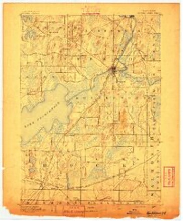
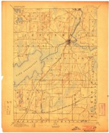
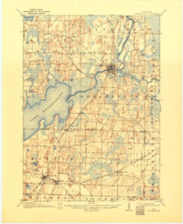
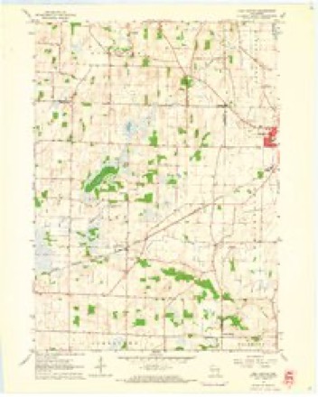
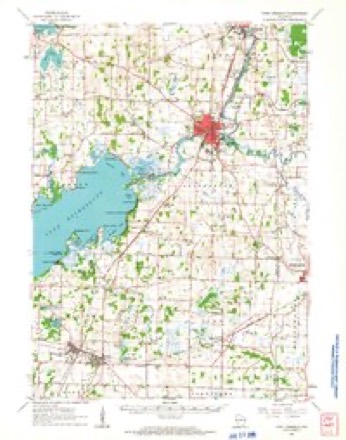
19 topographic sheets cover this place, the earliest surveyed in 1891 and the latest in 1980. It stands in Lima town. It lies in ZIP code area 53190. The Survey maps it on the Lima Center quadrangle. It stands 899 feet above sea level.
Topographic sheets covering this place
10 surveys from 19 printed sheetsMatched by testing this settlement's coordinate against the published boundary of every sheet in the United States Geological Survey's historical collection. Each opens the scanned sheet at the Survey.
- 1891 USGS Koshkonong quadrangle1:62500
- 1894 USGS Koshkonong quadrangle1:62500, 2 printings
- 1906 USGS Koshkonong quadrangle1:62500, 3 printings
- 1954 USGS Rockford quadrangle1:250000
- 1955 USGS Rockford quadrangle1:250000
- 1958 USGS Rockford quadrangle1:250000, 4 printings
- 1960 USGS Lima Center quadrangle1:24000, 3 printings
- 1961 USGS Fort Atkinson quadrangle1:62500, 2 printings
- 1963 USGS Rockford quadrangle1:250000
- 1980 USGS Lake Geneva quadrangle1:100000





In the county-history sources
7,479 words on this townshipThe History of Rock County, Wisconsin; Its Early Settlement, Growth, Development, Resources, Etc., published 1879 names this settlement in its chapter on Lima Town. These are the passages that mention it, exactly as the scans read.
WILIilAM ALEXANDER, farmer; Sees. 9, 10, 15 and 22; P. 0. Lima Center; born in Roxbury Co., Scotland, in 1825. At the age of 27, he resolved to seek his fortune in the New World, and landed at New York in 1852 ; came to Rock Co. the same year and settled on the farm he now owns of 325 acres in 1857. Married Miss Mary A. Goodfellow in 1851 ; they have five children - WilUam a., John H., Janette I., Mary A. and Thomas. He is a Republican. Has served as Director of the Limatown Insurance Co. since its organization in 1872. He bought his farm unbroken, and has improved it and made it valuable. The family are members of the Lima Presbyterian Church. He brought but little with tiim and now owns a large and valuable farm, has an intelligent family and may justly consider his life a success.
Passage source: The History of Rock County, Wisconsin; Its Early Settlement, Growth, Development, Resources, Etc., published 1879.
ROBERT BACON, farmer; Sees. 27 and 34: P. 0. Lima Center; born in Barnstable Co., Mass., in 1814, came to Wisconsin in 1846, and settled on the farm he now owns of 240 acres. Married Miss Harriet J. Knapp in 1845 ; they have three children - Eliza J., De Witt C. and Orris J. Mr. B. is a Republican, and has served as Supervisor of the town of Lima ; is a member of the United Brethren Church of Lima Center. Mrs. B. is a M. B. ; member of Utter's Corners' Church. When Mr. B. first saw Janesville, it had only three stores and two hotels. The old log house is still standing where he lived as a pioneer, in close proximity to his roomy farmhouse.
Passage source: The History of Rock County, Wisconsin; Its Early Settlement, Growth, Development, Resources, Etc., published 1879.
H. J. BlIIiliOCK, farmer. Sec. 32; P. 0. Lima Center; born in town of Attica, Wyoming- Co., N. Y., July 22, 1837 ; son of Levi and Deborah Bullock ; came to Wisconsin with his parents May, 1841, locating in Lima, where Hiram Bullock lived till I860, when he went to Minnesota, where he lived nine years; settled on his farm of 150 acres in 1869. Married Jliss Lucinda Hall Nov. 17, 1861, who died Feb. 26, 1872, leaving one son - Ernest E. Mr. Bullock married Miss Louisa Bartlett in February, 1874; they have two daughters - Laura B and a babe. He is a Republican in politics, and the family attend the Baptist Church.
Passage source: The History of Rock County, Wisconsin; Its Early Settlement, Growth, Development, Resources, Etc., published 1879.
Machine-read from a century-old scan, so expect the errors a machine makes: misspelled names, dropped words, stray characters.
Read the whole chapter on Lima Town - it names this place 23 more 23 times.
Fires near this place
4 since 1993Regional context, not property-specific evidence. The federal wildfire occurrence database lists 4 fires within 5 miles of Lima Center between 1993 and 2018, burning about 9 acres in total. None started naturally. 1 was recorded as arson. Distance is straight-line from the map coordinates, so a fire counted here may appear on a neighbouring settlement's page as well.
| Reported cause | Fires |
|---|---|
| Missing data/not specified/undetermined | 1 |
| Debris and open burning | 1 |
| Arson/incendiarism | 1 |
| Smoking | 1 |
The most recent of them, most recent first, with the day each was reported and the service that recorded it.
| Date | Cause | Size | Reported by | Name on the report |
|---|---|---|---|---|
| 6 April 2000 | Smoking | 3.5 acres | Wisconsin Department of Natural Resources | not named |
| 4 March 2018 | Missing data/not specified/undetermined | 1.0 acres | Wisconsin Department of Natural Resources | 167 |
| 31 March 2018 | Debris and open burning | 1.0 acres | Wisconsin Department of Natural Resources | 231 |
| 11 November 1993 | Arson/incendiarism | 3.5 acres | Wisconsin Department of Natural Resources | not named |
Settlements close enough to share some of these fires:
Mines and quarries near this place
6 within 5 milesRegional context, not property-specific evidence. The federal mineral resources record lists 6 workings within 5 miles of Lima Center: 3 producers, 3 past producers. 3 still produce. What was taken out: Sand and Gravel, Construction, Stone, Crushed/Broken. Distance is straight-line from the map coordinates, so a quarry counted here may appear on a neighbouring settlement's page as well.
| Where | Site | Commodity | Status | Recorded |
|---|---|---|---|---|
| Frank Brothers Quarry | Stone, Crushed/Broken | Producer | ||
| Hunt Quarry | Stone, Crushed/Broken | Past Producer | ||
| Ives Department 383 Quarry | Stone, Crushed/Broken | Producer | ||
| Stores Lake Pit | Sand and Gravel, Construction | Producer | ||
| Triebold Pit | Sand and Gravel, Construction | Past Producer | ||
| Wenham Pit | Sand and Gravel, Construction | Past Producer |
Storms near this place
4 since 1995Regional context, not property-specific evidence. The National Weather Service names Lima Center in 4 storm reports between 1995 and 2021: 1 thunderstorm wind, 1 lightning, 1 flash flood, 1 hail. No death or injury is recorded in these reports. Each account below is quoted exactly as the forecast office filed it, from the NOAA Storm Events Database, and each date opens the federal record of that event.
| When | Event | Place named | Harm | What the report says |
|---|---|---|---|---|
| June 2020 | Flash Flood | Lima Center | $3,000 | Widespread flash flooding of streets in urban areas across the eastern half of Rock County after a quick 2 to 4 inches of rain. This especially included Beloit and Janesville. |
| July 2011 | Lightning | Lima Center | $2,000 | A home in the 600 block of Cloute Street in Fort Atkinson was struck by lightning and caught fire. The home suffered smoke damage. |
| August 2021 | Hail | Lima Center | - | no account filed |
| July 1995 | Thunderstorm Wind | Lima Center | - | no account filed |
Nearest settlements
The eight closest, with where each one stands in the county. Distances are straight-line, computed from the Geographic Names Information System coordinates.
| Map | Place | Distance | Sheets |
|---|---|---|---|
| Milton | 6.3 miles | 19 | |
| Johnstown | 6.3 miles | 17 | |
| Johnstown Center | 6.5 miles | 17 | |
| Milton Junction | 7.2 miles | 19 | |
| Charlie Bluff | 8.7 miles | 19 | |
| Emerald Grove | 9.6 miles | 18 | |
| Mallwood | 9.9 miles | 18 | |
| Maple Beach | 10.0 miles | 18 |
Elsewhere
Matched on this settlement's Geographic Names Information System number rather than its name, so it cannot be a different place of the same name in another state.
| Wikipedia article on Lima Center | An encyclopaedic summary. Its text is share-alike, so it is linked here rather than copied. |
| Wikidata item Q6548799 | The structured record the population and elevation above come from. Public domain (CC0). |
Provenance
This settlement is recorded in the Geographic Names Information System as feature 1568054. The sheet list is computed by point-in-boundary test against the United States Geological Survey's historical topographic inventory. Both are works of the United States government and carry no copyright under 17 U.S.C. 105.
Wildfire. Short, Karen C. 2022. Spatial wildfire occurrence data for the United States, 1992-2020 [FPA_FOD_20221014]. 6th Edition. Fort Collins, CO: Forest Service Research Data Archive. https://doi.org/10.2737/RDS-2013-0009.6 Collected with United States Government funding and usable without additional permissions or fees.
Mines and quarries. USGS Mineral Resources Data System (MRDS) https://mrdata.usgs.gov/mrds/ A work of the United States government, no copyright under 17 U.S.C. 105.
Storms. NOAA National Centers for Environmental Information, Storm Events Database https://www.ncei.noaa.gov/stormevents/ A work of the United States government, no copyright under 17 U.S.C. 105. Narratives are quoted verbatim from the National Weather Service report and are not edited or summarised.