 Block
Johnstown, Wisconsin
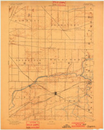
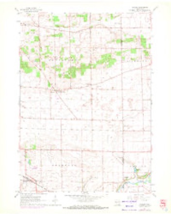
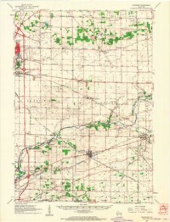
17 topographic sheets cover this place, the earliest surveyed in 1893 and the latest in 1980. It stands in Johnstown town. It lies in ZIP code area 53505. The Survey maps it on the Avalon quadrangle. It stands 951 feet above sea level.
Topographic sheets covering this place
8 surveys from 17 printed sheetsMatched by testing this settlement's coordinate against the published boundary of every sheet in the United States Geological Survey's historical collection. Each opens the scanned sheet at the Survey.
- 1893 USGS Shopiere quadrangle1:62500, 5 printings
- 1954 USGS Rockford quadrangle1:250000
- 1955 USGS Rockford quadrangle1:250000
- 1958 USGS Rockford quadrangle1:250000, 4 printings
- 1961 USGS Avalon quadrangle1:24000, 2 printings
- 1961 USGS Shopiere quadrangle1:62500, 2 printings
- 1963 USGS Rockford quadrangle1:250000
- 1980 USGS Lake Geneva quadrangle1:100000





In the county-history sources
8,297 words on this townshipHistory of Rock County, and Transactions of the Rock County Agricultural Society and Mechanics' Institute, published 1856 names this settlement in its chapter on Johnstown Town. These are the passages that mention it, exactly as the scans read.
The first settlement was made in 1837. the first family was that of .Konnan Smith who claimed on the present site of the " Johnstown Center House" owned by Henry B. Johnson, and afterwards sold his claim to Noah Newell. The second family was that of Capt. Caleb D. Hill, who is still a resident. The other early settlers were Elisha Newhall and his sons Wright and Elbridge G., Noah Newell, John. A. Fleteher, Daniel Phelps, Daniel McKillip, John Putnam, John A. Pickett and William Virgin. The first framed house was built by Daniel McKillip, and is now owned by Slmbael Farr.
Passage source: History of Rock County, and Transactions of the Rock County Agricultural Society and Mechanics' Institute, published 1856.
In 1850 and previously, there was comparatively a large floating prtpulation, immigrants fi'om the Eastern States and Eastern world to the Great West, who stopped here temporarily until they could procure homes eko- \vhere, one house containing 1 2 families, and thfoe of these families numbered 24 children. In 1849 there were 157 who voted^ and' of that number only 58 are now residents in town, 99 having died or left, chiefly the latter. The present population is more peroianent. '
Passage source: History of Rock County, and Transactions of the Rock County Agricultural Society and Mechanics' Institute, published 1856.
The early cultivation of fruit has been too much neglected. The feiv apple. Plum and Cherry trees planted at an early day, give evidence that those fruits can be grown successfully, while with Peaches it is more probablemaU ical. With Pears the experiment has not been sufBciontly tried to determine. Peaches have been raised to a limited extent in the openings, but the prairies are too cold in winter to admit of it unless well and faithfully guarded from the wind.
Passage source: History of Rock County, and Transactions of the Rock County Agricultural Society and Mechanics' Institute, published 1856.
Machine-read from a century-old scan, so expect the errors a machine makes: misspelled names, dropped words, stray characters.
Read the whole chapter on Johnstown Town - it names this place 24 more 24 times.
Mines and quarries near this place
2 within 5 milesRegional context, not property-specific evidence. The federal mineral resources record lists 2 workings within 5 miles of Johnstown: 2 past producers. None of them still produces. What was taken out: Sand and Gravel, Construction. Distance is straight-line from the map coordinates, so a quarry counted here may appear on a neighbouring settlement's page as well.
| Where | Site | Commodity | Status | Recorded |
|---|---|---|---|---|
| Richmond Pit | Sand and Gravel, Construction | Past Producer | ||
| Wenham Pit | Sand and Gravel, Construction | Past Producer |
Storms near this place
5 since 1996Regional context, not property-specific evidence. The National Weather Service names Johnstown in 5 storm reports between 1996 and 2015: 2 hail, 1 lightning, 1 thunderstorm wind, 1 tornado. No death or injury is recorded in these reports. Each account below is quoted exactly as the forecast office filed it, from the NOAA Storm Events Database, and each date opens the federal record of that event.
| When | Event | Place named | Harm | What the report says |
|---|---|---|---|---|
| July 2015 | Tornado (EF1) | Johnstown | $100,000 | Three old barns were mostly destroyed. Fields of corn partially blown over. Large trees snapped. |
| October 1996 | Lightning | Johnstown | $75,000 | no account filed |
| April 1997 | Thunderstorm Wind | Johnstown | $5,000 | no account filed |
| April 2002 | Hail | Johnstown | - | no account filed |
| September 2000 | Hail | Johnstown | - | no account filed |
Nearest settlements
The eight closest, with where each one stands in the county. Distances are straight-line, computed from the Geographic Names Information System coordinates.
| Map | Place | Distance | Sheets |
|---|---|---|---|
| Johnstown Center | 1.8 miles | 17 | |
| Emerald Grove | 5.0 miles | 18 | |
| Avalon | 5.7 miles | 17 | |
| Lima Center | 6.3 miles | 19 | |
| Milton | 9.0 miles | 19 | |
| Milton Junction | 10.1 miles | 19 | |
| Clinton | 10.3 miles | 16 | |
| Tiffany | 10.3 miles | 18 |
Elsewhere
Matched on this settlement's Geographic Names Information System number rather than its name, so it cannot be a different place of the same name in another state.
| Wikipedia article on Johnstown | An encyclopaedic summary. Its text is share-alike, so it is linked here rather than copied. |
| Wikidata item Q14714493 | The structured record the population and elevation above come from. Public domain (CC0). |
Provenance
This settlement is recorded in the Geographic Names Information System as feature 1567254. The sheet list is computed by point-in-boundary test against the United States Geological Survey's historical topographic inventory. Both are works of the United States government and carry no copyright under 17 U.S.C. 105.
Mines and quarries. USGS Mineral Resources Data System (MRDS) https://mrdata.usgs.gov/mrds/ A work of the United States government, no copyright under 17 U.S.C. 105.
Storms. NOAA National Centers for Environmental Information, Storm Events Database https://www.ncei.noaa.gov/stormevents/ A work of the United States government, no copyright under 17 U.S.C. 105. Narratives are quoted verbatim from the National Weather Service report and are not edited or summarised.