 Block
Pleasant Prairie, Wisconsin
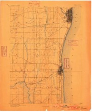
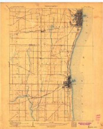
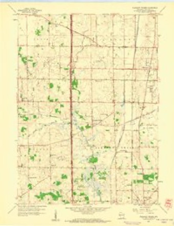
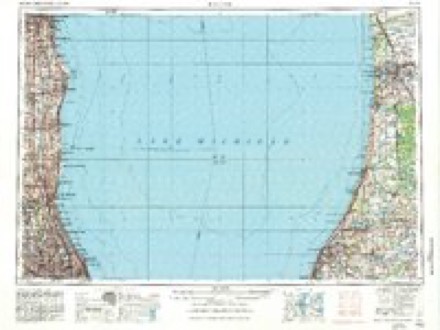
14 topographic sheets cover this place, the earliest surveyed in 1892 and the latest in 1980. It stands in Pleasant Prairie Village. It lies in ZIP code area 53158. It stands on Center Creek. The Survey maps it on the Pleasant Prairie quadrangle. 21,250 people lived here at the 2020 count. It stands 696 feet above sea level.
Population over time
2 figuresPleasant Prairie grew from 19,719 to 21,250 between 2010 and 2020. These are the recorded population figures Wikidata holds for this place, reached through the Geographic Names Information System number this page is keyed on rather than by name, so they belong to this place and not to another of the same name. Most are census counts, but not all are: an early figure may be a founding or settlement estimate, and an estimate published within five years of a census is left out. The change column is computed, and is left blank where more than 20 years separate a figure from the one before it, because a gap that long is not a change between two counts.
| Year | People | Change |
|---|---|---|
| 2010 | 19,719 | |
| 2020 | 21,250 | +1,531 (+8%) |
Topographic sheets covering this place
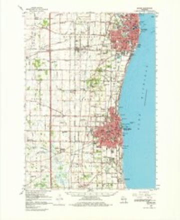
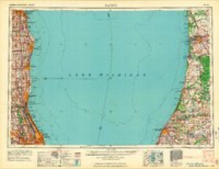
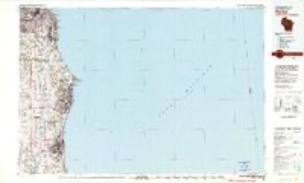
7 surveys from 14 printed sheetsMatched by testing this settlement's coordinate against the published boundary of every sheet in the United States Geological Survey's historical collection. Each opens the scanned sheet at the Survey.
- 1892 USGS Racine quadrangle1:62500, 2 printings
- 1905 USGS Racine quadrangle1:62500, 3 printings
- 1958 USGS Pleasant Prairie quadrangle1:24000, 2 printings
- 1958 USGS Racine quadrangle1:250000, 3 printings
- 1959 USGS Racine quadrangle1:62500, 2 printings
- 1962 USGS Racine quadrangle1:250000
- 1980 USGS Racine quadrangle1:100000
In the county-history sources
7,887 words on this townshipThe History of Racine and Kenosha Counties, Wisconsin .., published 1879 names this settlement in its chapter on Pleasant Prairie Village. These are the passages that mention it, exactly as the scans read.
BOBEBT BUTCHEB, general trader, Sec. 7; P.O. Kenosha; bom July 22, 1826, in Norfolk, England, where he whS a merchant and farmer ; came to America in 1864 ; remained one year in Chicago, then settled in Pleasant Prairie ; he farms 100 acres of land, but makes a specialty of market gardening, devoting about ten acres to that purpose ; he does the largest poultry business in the State of Wisconsin, and has just erected a refrigerator to hold 4,000 turkeys, etc., which in that will keep good all the year round ; he has also lately built a hot-house and grapery to grow early vegetables for the Chioii^ and settled in Pleasant Prairie ; bought bis farm of 320 acres and built tbe second log house io this town ship ; he now lives in a handsome homestead which he has since erected. He raises all kinds of gnii and stock. Married Miss Nancy Stevens, of Vermont, May 27, 1837 ; have had five children - Arriila born Dec. 18, 1839; Lorette, July 16, 1841 ; Walter L., Aug. 26, 1843; Althea, Nov. 10, 1845, die< Sept. 27, 1856; Ella L., Oct. 22, 1850. He was Chairman of the Board of Supervisors of Racine ao< Kenosha Counties before the division, for two years; Roadmaster of Pleasant Prairie several yearB; School Clerk of Pleasant Prairie, two years. Mr. French is a strong temperance man.
Passage source: The History of Racine and Kenosha Counties, Wisconsin .., published 1879.
STEPHEN GAIiT, fruit gardener. Sec. 7 ; P. O. Kenosha; bom May 26, 1819, in Aberdeeo Co., Scotland ; was a tailor by trade ; came to America in 1850, and located in Kenosha ; worked at hi? business for six or seven years ; moved to Pleasant Prairie Township in the spring of 1 857, where he bought seventeen acres of land, six of which were laid out for fruit and vegetables ; built his house, cleared his land, and now has it in a state of excellent cultivation, growing principally strawberries, raspbaries and the finer kinds of vegetables, such as asparagus, etc., for the market. He was the first in the county to raise strawberries for that purpose, half an acre being looked upon as marvelous at that time. Married Miss Margaret Trail, of Scotland, Sept. 16, 1847. He was Town Clerk in 1857 ; is Clerk of school district, and has been for six years, and was Director of school district fc»r six years previously. Mr. tod Mrs. Gait are members of the Congregational Church. Mr. G. has been a total abstainer for twenty-nine years, looking upon the use of intoxicating liquors with abhorrence.
Passage source: The History of Racine and Kenosha Counties, Wisconsin .., published 1879.
JAmES HARTBAY, farmer, Sees. 5 aod 6 ; P. 0. Truesdell ; born March 27, 1834, in Boston, Mass.; lived there until 3 years of age; removed to Detroit, Mich., and, in 1842, went to Grosse Point, Cook Co., 111.; moved to Evanston, 111., in May, 1856 ; bought a farm in North Evanston, which he sold in 1873, and then devoted his time to grading, horse-dealing, etc., until he purchased his present place, in February, 1876, and came to reside here in June of that year; besides raiding general farm produce, Mr. Hartray devotes special attention to horse-breeding, having several of the best bred mares and horses in the country ; short-horn cattle ; dairy work, making a larsre quantity of butter annually ; he also raises large numbers of full-blooded, long-wool, Leicester sheep. He is the son of James and Ellen Hartray ; his mother died March 15, 1876 ; his father is living at North Evanston, 111. Married Miss Mary Ellis, of Cook Co., 111., May 24, 1855 ; Mrs. Hartray is of German parentage, and was born in mid-ocean; she inherited quite a large property; they have nine children - James W., born March 16, 1856 ; Ellen, Jan. 1, 1858 ; May J., Feb. 15, 1860; John, June 20, 1862 . Thomas, Oct. 4, 1864 ; George, April 17, 1867; Annie M., Dec. 2, 1870; WUliam C, March 27, 1873; Frank, June 27, 1877. Held school offices at Evanston, 111.; is Supervisor of Pleasant Prairie Township, and is serving his third year as Road Overseer of this place. Mr. H. and family are members of St. Mark's Catholic Church.
Passage source: The History of Racine and Kenosha Counties, Wisconsin .., published 1879.
Machine-read from a century-old scan, so expect the errors a machine makes: misspelled names, dropped words, stray characters.
Read the whole chapter on Pleasant Prairie Village - it names this place 20 more 20 times.
Fires near this place
17 since 2018Regional context, not property-specific evidence. The federal wildfire occurrence database lists 17 fires within 5 miles of Pleasant Prairie between 2018 and 2020, burning about 17 acres in total. None started naturally. 1 was recorded as arson. Distance is straight-line from the map coordinates, so a fire counted here may appear on a neighbouring settlement's page as well.
| Reported cause | Fires |
|---|---|
| Missing data/not specified/undetermined | 11 |
| Smoking | 3 |
| Debris and open burning | 2 |
| Arson/incendiarism | 1 |
The most recent of them, most recent first, with the day each was reported and the service that recorded it.
| Date | Cause | Size | Reported by | Name on the report |
|---|---|---|---|---|
| 9 August 2018 | Missing data/not specified/undetermined | under an acre | Wisconsin Department of Natural Resources | 18327 |
| 2 August 2020 | Missing data/not specified/undetermined | 1.0 acres | Wisconsin Department of Natural Resources | 20517 |
| 25 July 2020 | Missing data/not specified/undetermined | 1.0 acres | Wisconsin Department of Natural Resources | 6908 |
| 10 July 2018 | Missing data/not specified/undetermined | 1.0 acres | Wisconsin Department of Natural Resources | 1383 |
| 20 June 2020 | Smoking | under an acre | Wisconsin Department of Natural Resources | 20357 |
| 14 June 2018 | Missing data/not specified/undetermined | under an acre | Wisconsin Department of Natural Resources | 18214 |
| 8 May 2018 | Smoking | under an acre | Wisconsin Department of Natural Resources | 923 |
| 11 May 2019 | Arson/incendiarism | 1.0 acres | Wisconsin Department of Natural Resources | 19172 |
Settlements close enough to share some of these fires:
Mines and quarries near this place
3 within 5 milesRegional context, not property-specific evidence. The federal mineral resources record lists 3 workings within 5 miles of Pleasant Prairie: 2 producers, 1 past producer. 2 still produce. What was taken out: Sand and Gravel, Construction. Distance is straight-line from the map coordinates, so a quarry counted here may appear on a neighbouring settlement's page as well.
| Where | Site | Commodity | Status | Recorded |
|---|---|---|---|---|
| Bristol Sand and Gravel Pit | Sand and Gravel, Construction | Producer | ||
| Pit No. 1 | Sand and Gravel, Construction | Past Producer | ||
| Ponderosa Pit | Sand and Gravel, Construction | Producer |
Storms near this place
13 since 1995Regional context, not property-specific evidence. The National Weather Service names Pleasant Prairie in 13 storm reports between 1995 and 2024: 7 hail, 3 thunderstorm wind, 2 lightning, 1 funnel cloud. No death or injury is recorded in these reports. Each account below is quoted exactly as the forecast office filed it, from the NOAA Storm Events Database, and each date opens the federal record of that event.
| When | Event | Place named | Harm | What the report says |
|---|---|---|---|---|
| April 1996 | Thunderstorm Wind | Pleasant Prairie | $1,100,000 | no account filed |
| August 2006 | Lightning | Pleasant Prairie | $150,000 | Several lightning strikes to several buildings caused structural fires and power outages. |
| October 1996 | Thunderstorm Wind | Pleasant Prairie | $10,000 | no account filed |
| October 2005 | Lightning | Pleasant Prairie | $5,000 | no account filed |
| August 2011 | Thunderstorm Wind | Pleasant Prairie | - | The Kenosha County Emergency Manager reported trees and tree limbs blown down near Pleasant Prairie in far southeast Kenosha County by thunderstorm wind gusts estimated at 63 mph (55 knots). A semi-trailer was also blown over by the damaging wind gusts. |
| May 2024 | Hail | Pleasant Prairie | - | no account filed |
| May 2024 | Hail | Pleasant Prairie | - | no account filed |
| June 2015 | Hail | Pleasant Prairie | - | no account filed |
| August 2011 | Funnel Cloud | Pleasant Prairie | - | no account filed |
| June 2009 | Hail | Pleasant Prairie | - | no account filed |
| August 2006 | Hail | Pleasant Prairie | - | no account filed |
| May 2004 | Hail | Pleasant Prairie | - | no account filed |
| July 1995 | Hail | Pleasant Prairie | - | no account filed |
Nearest settlements
The eight closest, with where each one stands in the county. Distances are straight-line, computed from the Geographic Names Information System coordinates.
| Map | Place | Distance | Sheets |
|---|---|---|---|
| Westwood Estates | 1.5 miles | 14 | |
| Prairie Lake Estates | 1.8 miles | 14 | |
| Truesdell | 1.9 miles | 14 | |
| Woodworth | 3.6 miles | 19 | |
| South Kenosha | 5.3 miles | 16 | |
| Tobin | 5.8 miles | 16 | |
| Shorecrest Pointe | 5.9 miles | 16 | |
| Timber Ridge | 5.9 miles | 16 |
Elsewhere
Matched on this settlement's Geographic Names Information System number rather than its name, so it cannot be a different place of the same name in another state.
| Wikipedia article on Pleasant Prairie | An encyclopaedic summary. Its text is share-alike, so it is linked here rather than copied. |
| Wikidata item Q2291270 | The structured record the population and elevation above come from. Public domain (CC0). |
Provenance
This settlement is recorded in the Geographic Names Information System as feature 1571621. The sheet list is computed by point-in-boundary test against the United States Geological Survey's historical topographic inventory. Both are works of the United States government and carry no copyright under 17 U.S.C. 105.
Wildfire. Short, Karen C. 2022. Spatial wildfire occurrence data for the United States, 1992-2020 [FPA_FOD_20221014]. 6th Edition. Fort Collins, CO: Forest Service Research Data Archive. https://doi.org/10.2737/RDS-2013-0009.6 Collected with United States Government funding and usable without additional permissions or fees.
Mines and quarries. USGS Mineral Resources Data System (MRDS) https://mrdata.usgs.gov/mrds/ A work of the United States government, no copyright under 17 U.S.C. 105.
Storms. NOAA National Centers for Environmental Information, Storm Events Database https://www.ncei.noaa.gov/stormevents/ A work of the United States government, no copyright under 17 U.S.C. 105. Narratives are quoted verbatim from the National Weather Service report and are not edited or summarised.