 Block
Woodworth, Wisconsin
19 topographic sheets cover this place, the earliest surveyed in 1893 and the latest in 1980. It stands in Bristol Village. It lies in ZIP code area 53104. The Survey maps it on the Paddock Lake quadrangle. It stands 751 feet above sea level.
Topographic sheets covering this place
9 surveys from 19 printed sheetsMatched by testing this settlement's coordinate against the published boundary of every sheet in the United States Geological Survey's historical collection. Each opens the scanned sheet at the Survey.
- 1893 USGS Silver Lake quadrangle1:62500, 2 printings
- 1906 USGS Silver Lake quadrangle1:62500, 3 printings
- 1954 USGS Rockford quadrangle1:250000
- 1955 USGS Rockford quadrangle1:250000
- 1958 USGS Rockford quadrangle1:250000, 4 printings
- 1959 USGS Paddock Lake quadrangle1:24000, 3 printings
- 1960 USGS Silver Lake quadrangle1:62500, 3 printings
- 1963 USGS Rockford quadrangle1:250000
- 1980 USGS Lake Geneva quadrangle1:100000
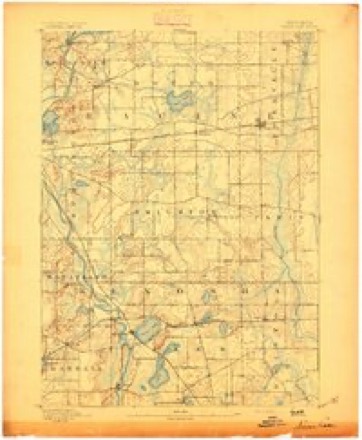
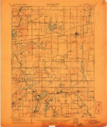



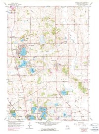
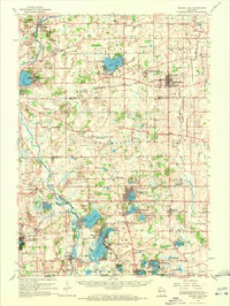


In the county-history sources
5,017 words on this townshipThe History of Racine and Kenosha Counties, Wisconsin .., published 1879 names this settlement in its chapter on Bristol Village. These are the passages that mention it, exactly as the scans read.
MAKSHFIELD D. BURT, farmer. Sec. 26 ; P. 0. Woodworth ; born Oct, 9, 1817, Wilbraham, Mass., and worked on a farm and in a saw-mill till about 1846, when he visited Wisoona then returned East, and went to Springfield, Mass., where he worked in a planing-mill and in a car-sh In the fall of 1852, he went to Chicago; again visited Wisconsin and bought a farm of 120 acres, Bristol Township ; went back to Chicago and worked for Stone & Boomer, bridge-builders ; whilst n them, he received a severe wound under the eye, and, during the same year, had a rib broken by sti flying from the circular -saw. In the spring of 1855, he returned to Bristol, and worked on his farm, uj ^hich he settled in the fall of 1857 ; he built his homestead and bams in the summer of 1860 ; at i time of his arrival, it was all wild land, and he has thoroughly cleared and cultivated it ; he has since s seventy-three acres, and retains the balance, upon which he raises the usual farm produce. Married M Welthie A. Davis, of Massachusetts, May 19, 1840. He was manager of the Poor Farm at Wilbrahi Mass., in 1845; was Side Supervisor of Bristol Township several years; Treasurer of School IHst] at different periods, and serves as Pathmaster. Mr. and Mrs. B. are members of the Methodist Chur
Passage source: The History of Racine and Kenosha Counties, Wisconsin .., published 1879.
OERHOND Y. FOWJLER, farmer. Sec. 25 ; P. 0. Woodworth ; bora March 18, 1815, in Dutchess Co., N. Y. ; went to Onondaga Co. and worked with his father as a farmer ; came to Kenosha in the fall of 1847, and located in Bristol Township in the spring of 1848 ; bought a farm of 160 acres; has sold it all but forty acres, which he farms himself Married Mrs. Alice Bur well, of Pleasant Prairie, July 7, 1873. She is a member of the Episcopal Church.
Passage source: The History of Racine and Kenosha Counties, Wisconsin .., published 1879.
HENRY H. HOIiRROOK, farmer. Sec. 23; P. 0. Woodworth; bora Aug. 5, 1840, in Cheektowaga, Erie Co., N. Y. ; in the fall of 1844, came West with his parents, who located in Bristol Township, in the spring of 1845, after staying a short time at Naperville, 111. ; his father bought the farm of eighty acres and built the homestead in 1852 ; he died Nov. 26, 1877, after a lingering illness of fifteen years; Mr. H. H. Holbrook now cultivates the farm; raises com, oats, wheat, potatoes, horses, cows, sheep, hogs and poultry ; he enlarged the homestead in 1872. Married Miss Mary J. Richtmyor, of Bristol, Nov. 14, 1871, who died Jan. 8, 1875; she hid two children - Arthur J., born Aug. 25, 1872, died Feb. 24, 1873; Harrison L., bora Dec. 25, 1873. Married Mrs. Mary Miller, of Wilmot, Jan. 23, 1878. She is a member of the Dutch Reformed Church.
Passage source: The History of Racine and Kenosha Counties, Wisconsin .., published 1879.
Machine-read from a century-old scan, so expect the errors a machine makes: misspelled names, dropped words, stray characters.
Read the whole chapter on Bristol Village - it names this place 2 more 2 times.
Fires near this place
13 since 2018Regional context, not property-specific evidence. The federal wildfire occurrence database lists 13 fires within 5 miles of Woodworth between 2018 and 2020, burning about 11 acres in total. None started naturally. None was recorded as arson. Distance is straight-line from the map coordinates, so a fire counted here may appear on a neighbouring settlement's page as well.
| Reported cause | Fires |
|---|---|
| Missing data/not specified/undetermined | 9 |
| Smoking | 2 |
| Debris and open burning | 2 |
The most recent of them, most recent first, with the day each was reported and the service that recorded it.
| Date | Cause | Size | Reported by | Name on the report |
|---|---|---|---|---|
| 9 August 2018 | Missing data/not specified/undetermined | under an acre | Wisconsin Department of Natural Resources | 18327 |
| 2 August 2020 | Missing data/not specified/undetermined | 1.0 acres | Wisconsin Department of Natural Resources | 20517 |
| 8 July 2018 | Smoking | under an acre | Wisconsin Department of Natural Resources | 218402 |
| 10 July 2018 | Missing data/not specified/undetermined | under an acre | Wisconsin Department of Natural Resources | 218407 |
| 3 June 2018 | Missing data/not specified/undetermined | under an acre | Wisconsin Department of Natural Resources | 218317 |
| 14 June 2018 | Missing data/not specified/undetermined | under an acre | Wisconsin Department of Natural Resources | 18214 |
| 2 May 2018 | Missing data/not specified/undetermined | 1.0 acres | Wisconsin Department of Natural Resources | 218249 |
| 8 April 2018 | Debris and open burning | 2.0 acres | Wisconsin Department of Natural Resources | 218175 |
Settlements close enough to share some of these fires:
Mines and quarries near this place
3 within 5 milesRegional context, not property-specific evidence. The federal mineral resources record lists 3 workings within 5 miles of Woodworth: 2 producers, 1 past producer. 2 still produce. What was taken out: Sand and Gravel, Construction. Distance is straight-line from the map coordinates, so a quarry counted here may appear on a neighbouring settlement's page as well.
| Where | Site | Commodity | Status | Recorded |
|---|---|---|---|---|
| Bristol Sand and Gravel Pit | Sand and Gravel, Construction | Producer | ||
| Pit No. 1 | Sand and Gravel, Construction | Past Producer | ||
| Ponderosa Pit | Sand and Gravel, Construction | Producer |
Nearest settlements
The eight closest, with where each one stands in the county. Distances are straight-line, computed from the Geographic Names Information System coordinates.
| Map | Place | Distance | Sheets |
|---|---|---|---|
| Bristol | 2.5 miles | 19 | |
| Pleasant Prairie | 3.6 miles | 14 | |
| Pikeville | 4.4 miles | 20 | |
| Salem Oaks | 4.8 miles | 19 | |
| Westwood Estates | 4.9 miles | 14 | |
| Prairie Lake Estates | 5.0 miles | 14 | |
| Lake Shangrila | 5.2 miles | 19 | |
| Truesdell | 5.3 miles | 14 |
Elsewhere
Matched on this settlement's Geographic Names Information System number rather than its name, so it cannot be a different place of the same name in another state.
| Wikidata item Q136362064 | The structured record the population and elevation above come from. Public domain (CC0). |
Provenance
This settlement is recorded in the Geographic Names Information System as feature 1577043. The sheet list is computed by point-in-boundary test against the United States Geological Survey's historical topographic inventory. Both are works of the United States government and carry no copyright under 17 U.S.C. 105.
Wildfire. Short, Karen C. 2022. Spatial wildfire occurrence data for the United States, 1992-2020 [FPA_FOD_20221014]. 6th Edition. Fort Collins, CO: Forest Service Research Data Archive. https://doi.org/10.2737/RDS-2013-0009.6 Collected with United States Government funding and usable without additional permissions or fees.
Mines and quarries. USGS Mineral Resources Data System (MRDS) https://mrdata.usgs.gov/mrds/ A work of the United States government, no copyright under 17 U.S.C. 105.