 Block
Somers, Wisconsin
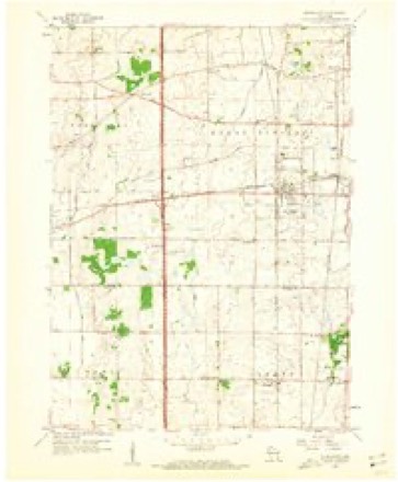
16 topographic sheets cover this place, the earliest surveyed in 1892 and the latest in 1980. It stands in Somers Village. It lies in ZIP code area 53144. The Survey maps it on the Sturtevant quadrangle. 8,402 people lived here at the 2020 count. It stands 679 feet above sea level.
Topographic sheets covering this place
7 surveys from 16 printed sheetsMatched by testing this settlement's coordinate against the published boundary of every sheet in the United States Geological Survey's historical collection. Each opens the scanned sheet at the Survey.
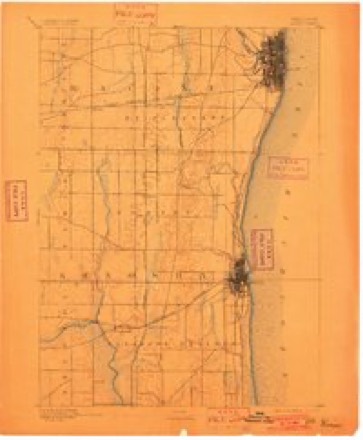
- 1892 USGS Racine quadrangle1:62500, 2 printings
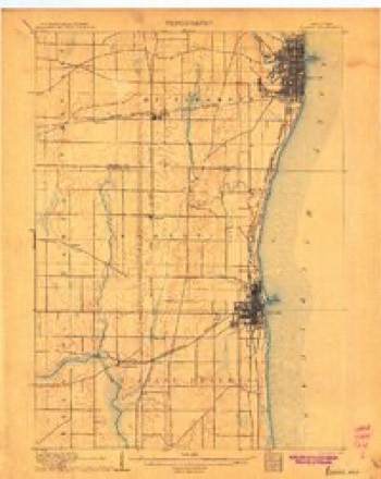
- 1905 USGS Racine quadrangle1:62500, 3 printings
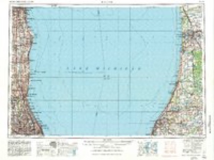
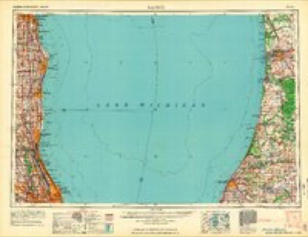
- 1958 USGS Racine quadrangle1:250000, 3 printings
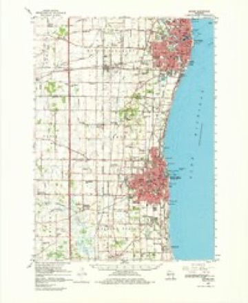
- 1959 USGS Racine quadrangle1:62500, 2 printings
- 1959 USGS Sturtevant quadrangle1:24000, 4 printings
- 1962 USGS Racine quadrangle1:250000
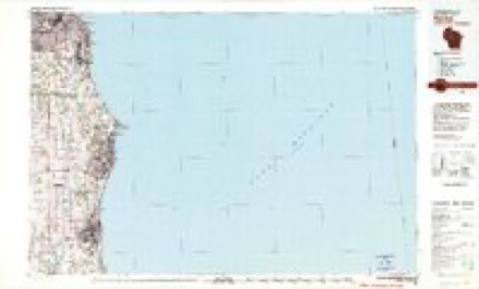
- 1980 USGS Racine quadrangle1:100000
In the county-history sources
4,615 words on this townshipThe History of Racine and Kenosha Counties, Wisconsin .., published 1879 names this settlement in its chapter on Somers Village. These are the passages that mention it, exactly as the scans read.
The draft was enforced in Kenosha County during the war, once on November 10, 1862, when there were 8 drawn from Kenosha ; 21 from Somers ; 23 from Pleasant Prairie ; 26 from Bristol ; 33 from Paris ; 34 from Brighton ; 18 from Randall, and 14 from Salem ; again, September 17, 1874, with the following prizes : Twenty-three to Randall ; 20 each to Pleasant Prairie and Wheatland ; 5 to Paris; 4 each to Bristol and Salem, and 3 to Somers.
Passage source: The History of Racine and Kenosha Counties, Wisconsin .., published 1879.
Machine-read from a century-old scan, so expect the errors a machine makes: misspelled names, dropped words, stray characters.
Fires near this place
26 since 2018Regional context, not property-specific evidence. The federal wildfire occurrence database lists 26 fires within 5 miles of Somers between 2018 and 2020, burning about 35 acres in total. None started naturally. 1 was recorded as arson. Distance is straight-line from the map coordinates, so a fire counted here may appear on a neighbouring settlement's page as well.
| Reported cause | Fires |
|---|---|
| Missing data/not specified/undetermined | 18 |
| Smoking | 3 |
| Debris and open burning | 3 |
| Arson/incendiarism | 1 |
| Equipment and vehicle use | 1 |
The most recent of them, most recent first, with the day each was reported and the service that recorded it.
| Date | Cause | Size | Reported by | Name on the report |
|---|---|---|---|---|
| 15 September 2018 | Missing data/not specified/undetermined | under an acre | Wisconsin Department of Natural Resources | 184175 |
| 9 August 2018 | Missing data/not specified/undetermined | under an acre | Wisconsin Department of Natural Resources | 18327 |
| 7 August 2018 | Missing data/not specified/undetermined | under an acre | Wisconsin Department of Natural Resources | 183671 |
| 2 August 2020 | Missing data/not specified/undetermined | 1.0 acres | Wisconsin Department of Natural Resources | 20517 |
| 25 July 2020 | Missing data/not specified/undetermined | 1.0 acres | Wisconsin Department of Natural Resources | 6908 |
| 24 July 2020 | Debris and open burning | under an acre | Wisconsin Department of Natural Resources | 20480 |
| 9 June 2020 | Missing data/not specified/undetermined | 1.0 acres | Wisconsin Department of Natural Resources | 20317 |
| 20 June 2020 | Smoking | under an acre | Wisconsin Department of Natural Resources | 20357 |
Settlements close enough to share some of these fires:
Storms near this place
16 since 2000Regional context, not property-specific evidence. The National Weather Service names Somers in 16 storm reports between 2000 and 2026: 4 hail, 3 flash flood, 3 thunderstorm wind, 3 tornado. The reports record 1 death and 1 injury. Each account below is quoted exactly as the forecast office filed it, from the NOAA Storm Events Database, and each date opens the federal record of that event.
| When | Event | Place named | Harm | What the report says |
|---|---|---|---|---|
| June 2011 | Thunderstorm Wind | Somers | 1 killed, 1 hurt, $100,000 | Law enforcement officials reported numerous trees and power lines down across far eastern Kenosha County from severe thunderstorm winds that gusted up to 75 mph (65 knots) as estimated by a trained spotter. A 31-year-old man riding a motorcycle was killed when a tree blew over on him in the 7600 block of 25th Avenue. A Pleasant Prairie woman injured her hip when she was struck by debris form a shed. Two other residents of the City of Kenosha were injured when they touched live wires brought down by the strong winds. Many large branches were also broken off by the powerful winds, which also damaged several homes. Officials estimate 500 to 800 trees were destroyed or badly damaged by the winds. |
| January 2008 | Tornado (EF1) | Somers | $7,930,000 | This tornado was the 2nd of two tornadoes to affect southeastern Wisconsin on January 7th. It spun up near the intersection of CTH L (18th St.) and 47th Ave. and moved east/northeast through the northern reaches of the city of Kenosha, and dissipated just north of Carthage College and just short of Lake Michigan. In the Civil Town of Somers it resulted in minor damage to 2 homes, and major damage to one home. In the City of Kenosha, it affected one home, inflicted minor damage to 21 homes, inflicted major damage to 6 homes, and destroyed 5 homes. Additionally, it destroyed one church in the City of Kenosha. Several power-lines were toppled and there were transformer explosions. Dozens of trees were damaged or uprooted. Average path width was about 50 yards. The maximum winds were estimated at around 95 mph (DI 27 - TH, DOD 3). This tornado was photographed and video taped. The specific starting location was 42.62399,-87.86591, and the ending location was 42.63127,-87.81820. |
| July 2017 | Flash Flood | Somers | $250,000 | Severe street flooding east of I-94 including the city of Kenosha after 3.0-5.50 of rain fell over a few hours. The most severe flash flooding occurred in a 10 block area around 40th Ave. and 75th St. in Kenosha. Stranded vehicles with water up to the windows were reported along with several buildings and homes flooded. |
| April 2026 | Tornado (EF1) | Somers | $209,000 | The tornado began northwest of Somers, east of Interstate 94. It went through the north and east side of the city, through the fire department and near Somers Elementary School. Numerous trees were uprooted along the path, some falling into houses. |
| May 2000 | Flash Flood | Somers | $200,000 | no account filed |
| October 2010 | Tornado (EF1) | Somers | $100,000 | An EF1 tornado developed about 0.95 mile north of Somers, about 2300 feet southwest of the intersection of County Highway KR (County Line Road) and County Highway EA (72nd Avenue). The tornado moved northeast just under one-half mile in Kenosha County before crossing into southern Racine County about 1.34 miles northeast of Somers at the intersection of CTH EA and County Line Rd. While in Kenosha County it destroyed a 6-vehicle garage and damaged a nearby home, trees, and power lines. The tornado path averaged 50 yards in width, with a maximum width of 100 yards. The EF-rating was based on DI 27(TH) DOD 4 with estimated wind speeds up to 100 mph. The exact start location is Lat 42.66377 Lon -87.89961. The exact end location on the Kenosha-Racine County line is Lat 42.66901 Lon -87.89515. Property damage values were estimated. |
| July 2007 | Lightning | Somers | $3,000 | Lightning struck a retail store on a frontage road adjacent to Interstate 94, resulting in a minor fire. |
| July 2024 | Flash Flood | Somers | $2,000 | Street flooding in Kenosha and Pleasant Prairie with water up to the bottom of vehicles. |
| July 2020 | Heavy Rain | Somers | - | Street flooding of several intersections in Kenosha after a quick couple of inches of rain. |
| June 2008 | Thunderstorm Wind | Somers | - | Powerful thunderstorms winds knocked down large trees. |
| July 2006 | Thunderstorm Wind | Somers | - | Trees down. |
| August 2006 | Heavy Rain | Somers | - | Minor street flooding resulted after 1 inch of rain fell on top of saturated ground. |
| March 2007 | Hail | Somers | - | no account filed |
| May 2001 | Hail | Somers | - | no account filed |
| May 2000 | Hail | Somers | - | no account filed |
| May 2000 | Hail | Somers | - | no account filed |
Nearest settlements
The eight closest, with where each one stands in the county. Distances are straight-line, computed from the Geographic Names Information System coordinates.
| Map | Place | Distance | Sheets |
|---|---|---|---|
| Prairie Lake Estates | 4.9 miles | 14 | |
| Truesdell | 5.1 miles | 14 | |
| Westwood Estates | 5.4 miles | 14 | |
| Kenosha | 6.1 miles | 16 | |
| Pleasant Prairie | 6.1 miles | 14 | |
| Woodworth | 7.4 miles | 19 | |
| Paris | 7.5 miles | 18 | |
| Shorecrest Pointe | 8.0 miles | 16 |
Elsewhere
Matched on this settlement's Geographic Names Information System number rather than its name, so it cannot be a different place of the same name in another state.
| Wikipedia article on Somers | An encyclopaedic summary. Its text is share-alike, so it is linked here rather than copied. |
| Wikidata item Q2224962 | The structured record the population and elevation above come from. Public domain (CC0). |
Provenance
This settlement is recorded in the Geographic Names Information System as feature 1574369. The sheet list is computed by point-in-boundary test against the United States Geological Survey's historical topographic inventory. Both are works of the United States government and carry no copyright under 17 U.S.C. 105.
Wildfire. Short, Karen C. 2022. Spatial wildfire occurrence data for the United States, 1992-2020 [FPA_FOD_20221014]. 6th Edition. Fort Collins, CO: Forest Service Research Data Archive. https://doi.org/10.2737/RDS-2013-0009.6 Collected with United States Government funding and usable without additional permissions or fees.
Storms. NOAA National Centers for Environmental Information, Storm Events Database https://www.ncei.noaa.gov/stormevents/ A work of the United States government, no copyright under 17 U.S.C. 105. Narratives are quoted verbatim from the National Weather Service report and are not edited or summarised.