 Block
From the record
3 National Register listings published here.
Sources: the National Register database, National Park Service
103 topographic sheets and 8 fire insurance atlases across 2 places.
3 National Register listings published here.
Sources: the National Register database, National Park Service
Taken for the Office of War Information and the Farm Security Administration, who photographed the country between 1935 and 1944. Works of United States government photographers, with no known restriction on use. Each opens its catalogue record.
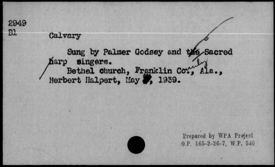
Every property in this county listed on the National Register of Historic Places, with the year it was listed and the federal nomination document.
| Photograph | Property | Type | Listed | Reference |
|---|---|---|---|---|
| Alabama Iron Works | site | 1977 | 77000203 | |
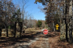 | Overton Farm | district | 1973 | 73000344 |
| Russellville Commercial Historic District | district | 2019 | 100003123 |
Drawn when these were printed as single large sheets: the town seen from the air, and the county divided into its farms with every owner named. Each opens the original at the Library of Congress.
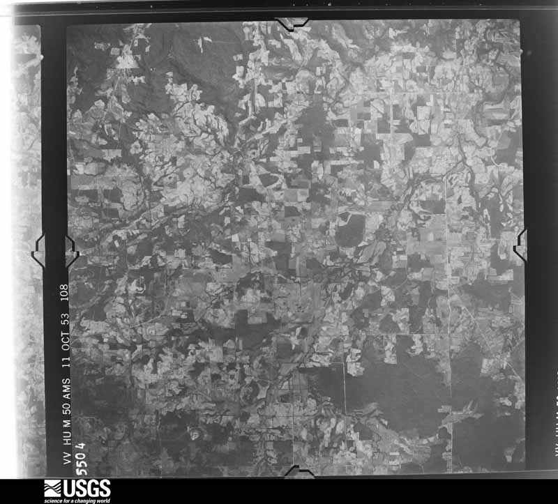
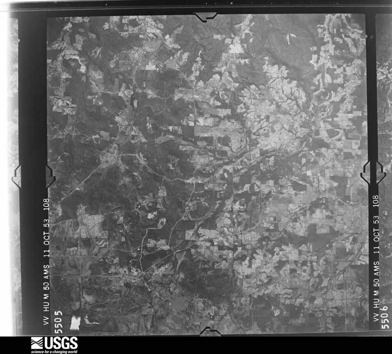
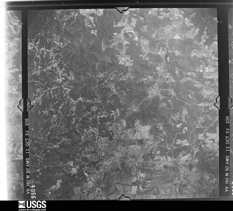
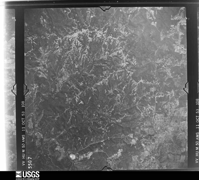
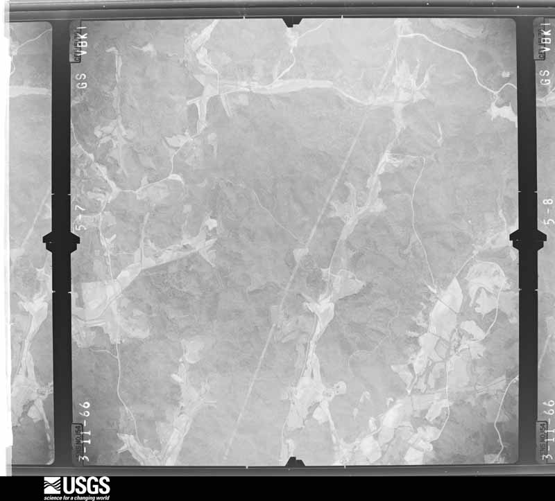
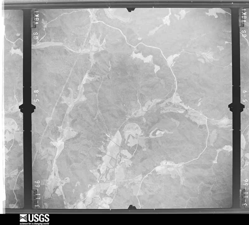
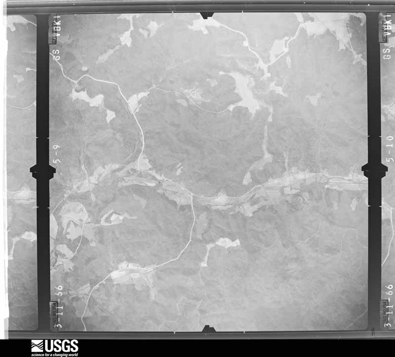
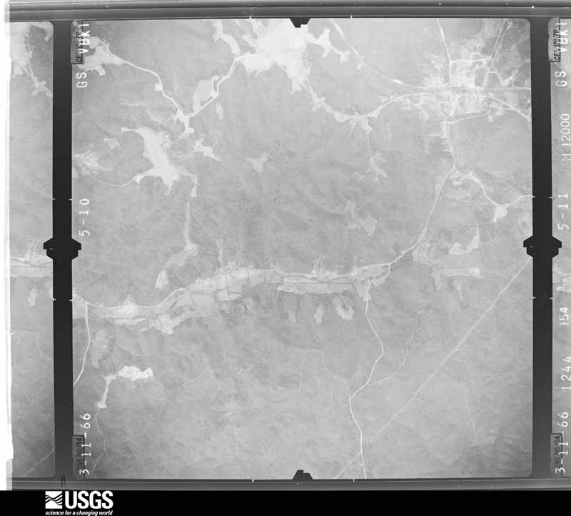
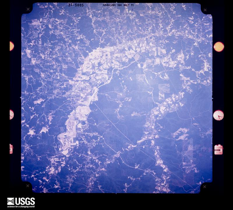
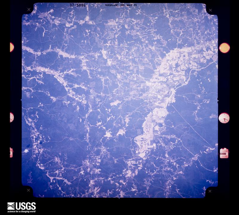
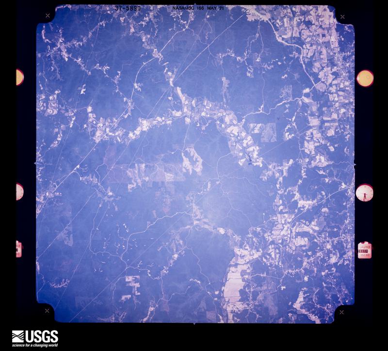
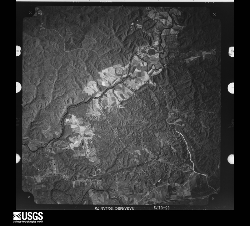
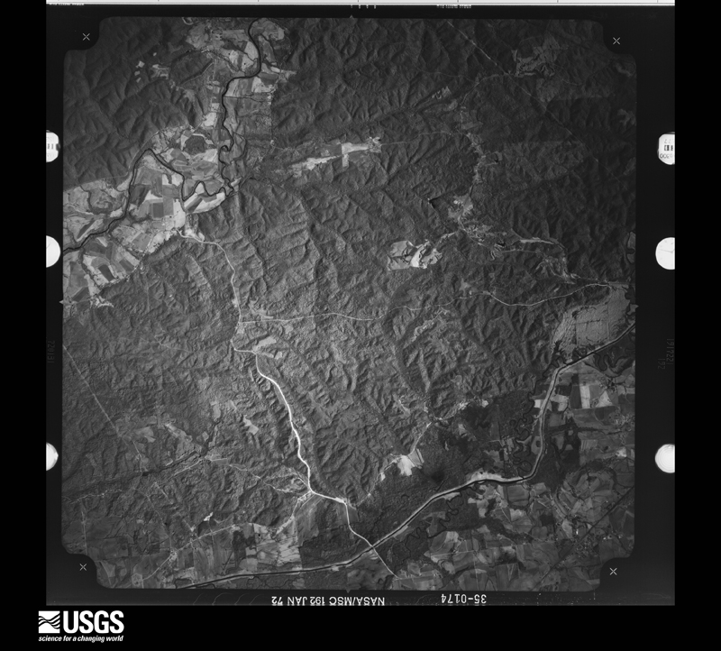
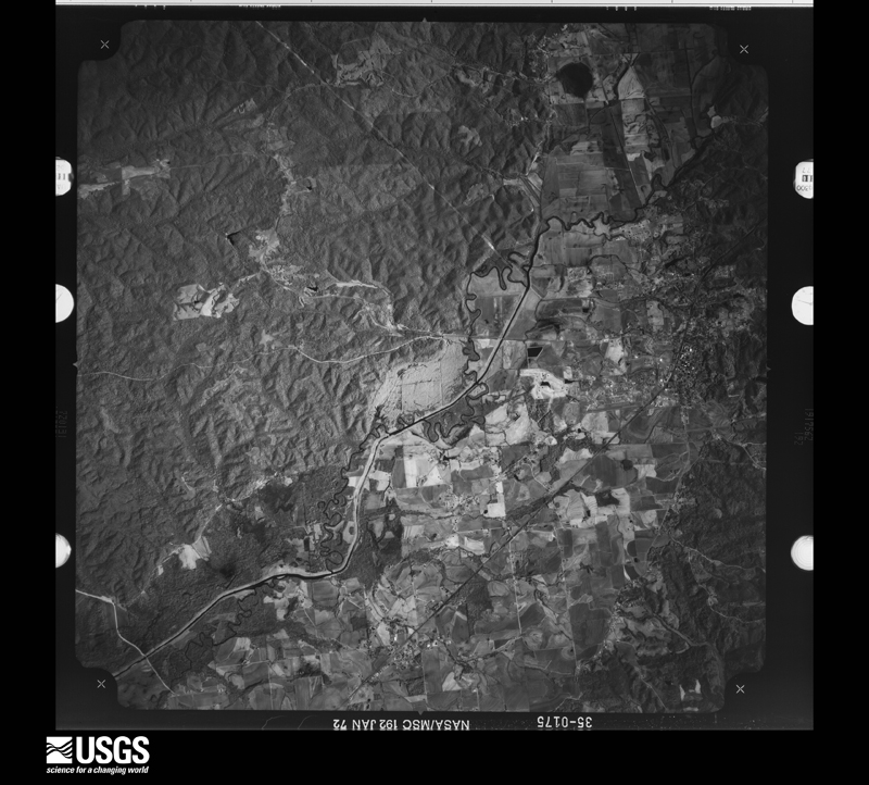
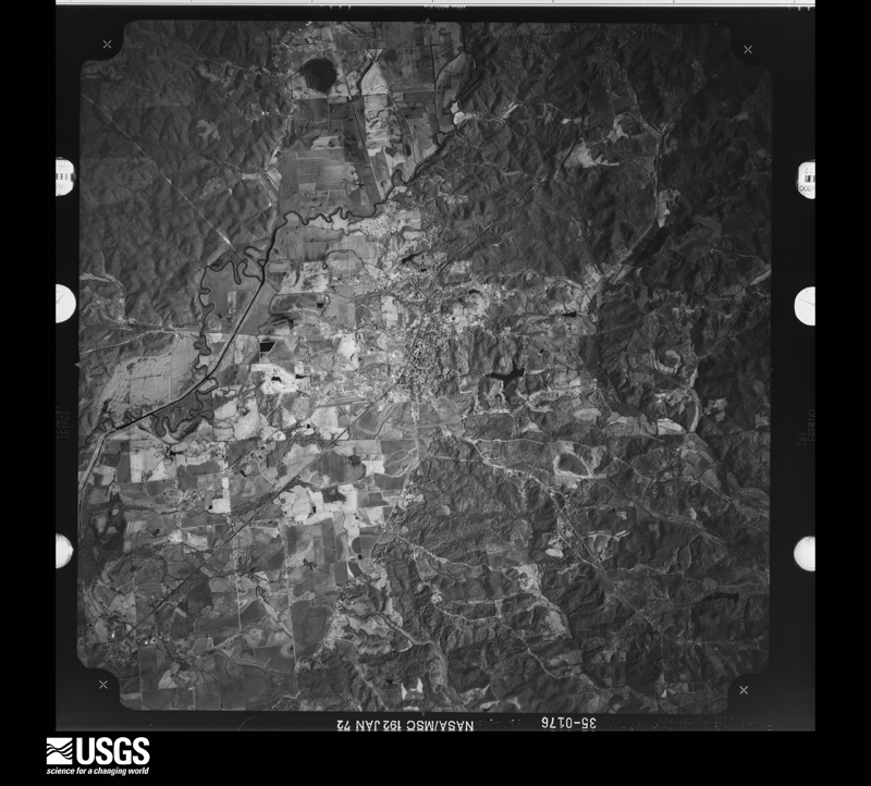
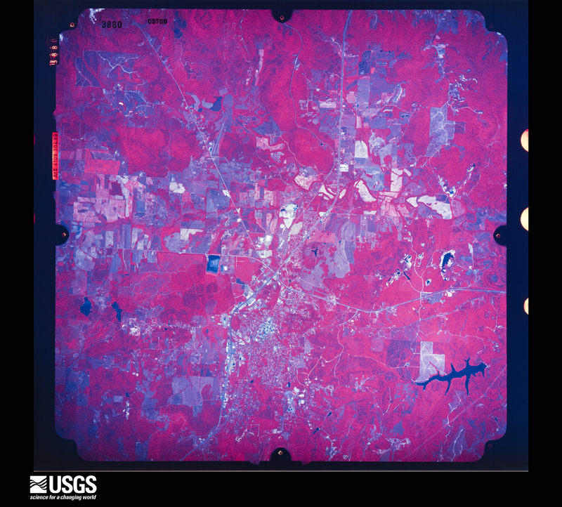
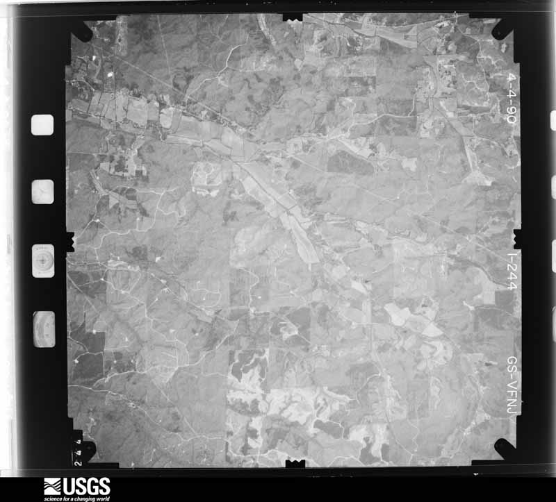
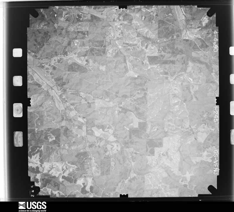
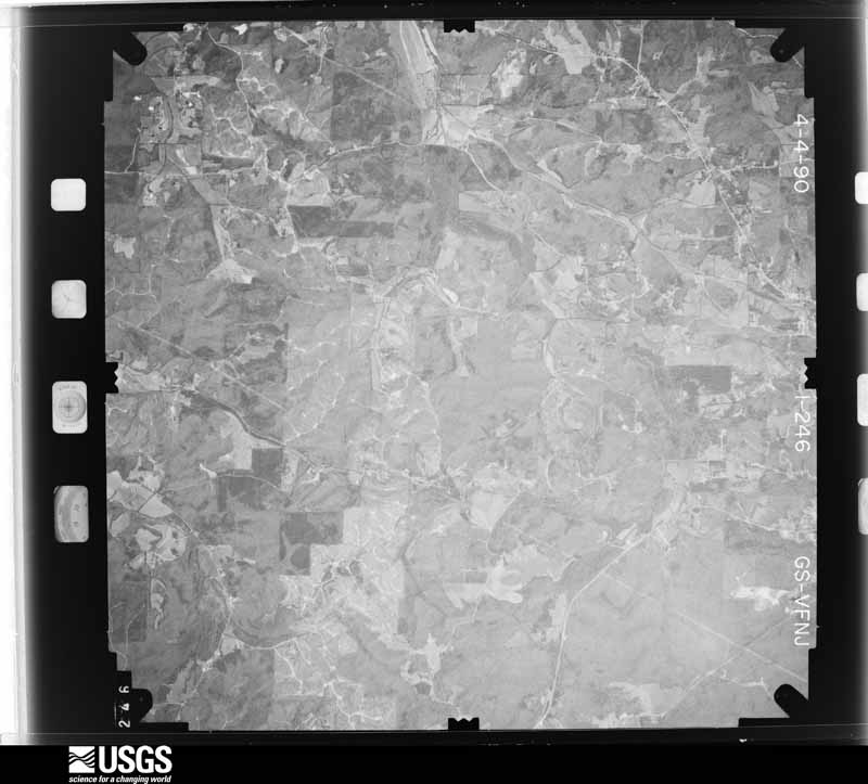
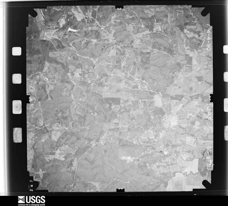
Flown by the U.S. Geological Survey between 1937 and 1989, the Aerial Photo Single Frames collection is the definitive mid-century view of the land: fields, roads and rivers as the camera saw them. The Survey holds 290 frames inside the rectangle that bounds this county; the 27 frames below were taken over the county itself, chosen across the decades of flights (at most four a year from that rectangle), so one flight cannot crowd out the rest. The full set is free to browse and download at EarthExplorer under the dataset Aerial Photo Single Frames.







The thermometers that kept this county's weather, and the gages that measured the flow of its streams, as the federal records hold them. The extremes below are measured values from those records, not estimates.
Who lived here in 1950, one enumeration district at a time, as the Census Bureau described each district. Each row opens its official National Archives result, with Population Schedules and ED Maps available there.
Every wildfire the federal occurrence database records inside this county: 720 of them, burning about 12,411 acres. 5 started naturally and 404 were recorded as arson. Each settlement page carries the fires within five miles of it.
| Reported cause | Fires |
|---|---|
| Arson/incendiarism | 404 |
| Debris and open burning | 147 |
| Missing data/not specified/undetermined | 117 |
| Equipment and vehicle use | 20 |
| Smoking | 9 |
| Railroad operations and maintenance | 7 |
| Recreation and ceremony | 5 |
| Natural | 5 |
| Misuse of fire by a minor | 3 |
| Fireworks | 2 |
| Power generation/transmission/distribution | 1 |
The five largest, by the area the report gives. Four of them were set deliberately.
| Date | Cause | Size | Reported by | Name on the report |
|---|---|---|---|---|
| 15 September 1999 | Missing data/not specified/undetermined | 706 acres | Alabama Forestry Commission | not named |
| 25 March 2014 | Arson/incendiarism | 608 acres | Alabama Forestry Commission | NOR-20140325-001 |
| 14 March 2014 | Missing data/not specified/undetermined | 520 acres | Alabama Forestry Commission | NOR-20140314-003 |
| 15 September 1999 | Equipment and vehicle use | 460 acres | National Forests in Alabama | CHERRY HILL |
| 23 March 2007 | Arson/incendiarism | 453 acres | Alabama Forestry Commission | GARRISON HOLLOW |
| 4 November 2001 | Arson/incendiarism | 350 acres | Alabama Forestry Commission | not named |
| 19 November 2011 | Arson/incendiarism | 220 acres | Alabama Forestry Commission | CR 793 OFF 29, AL |
| 18 September 2010 | Debris and open burning | 200 acres | Alabama Forestry Commission | WACO FIRE |
Every settlement page carries the fires within five miles of it - see the settlement index below.
The NOAA Storm Events Database holds 490 reports for this county, causing 28 deaths, 16 injuries and about $53,395,200 in recorded property damage. Each settlement page carries the reports that name it.
| Kind of event | Reports |
|---|---|
| Thunderstorm Wind | 264 |
| Hail | 144 |
| Flash Flood | 33 |
| Tornado | 30 |
| Lightning | 8 |
| Funnel Cloud | 5 |
| Flood | 4 |
| Heavy Rain | 2 |
The most serious of them, by death, then injury, then recorded damage. The accounts are quoted exactly as the forecast office filed them.
| When | Event | Place named | Harm | What the report says |
|---|---|---|---|---|
| April 2011 | Tornado (EF5) | Nix | 27 killed, $50,000,000 | A violent long track tornado continued it's path from Marion County into southern Franklin County north of Hackleburg. Significant devastation occurred throughout the city of Phil Campbell. Prolific damage was noted from the intersection of CR 51 and Alabama Highway 237, to the intersection of CR 81 and CR 75. Within a two mile corridor of either side of the railroad tracks the damage was significant. Within this corridor, several well constructed houses were destroyed. Along Bonner Street, multiple block homes were leveled to the ground with the block foundations destroyed. A twenty-five foot section of pavement was sucked up and scattered. Chunks of the pavement were found in a home over 1/3 of a mile down the road. The damage in this area was consistent with EF-5 damage. ||In addition, at least three churches along the path sustained significant damage. One church in Phil Campbell was completely destroyed with only the slab remaining.||Multiple mobile homes throughout the path were completely destroyed, and their mangled frames were tossed 25 to 50 yards. Cars were tossed and destroyed throughout the path of the tornado, with one car wrapped around a debarked tree in Phil Campbell. All along the path length, thousands of hardwood and softwood trees were snapped. Hundreds of trees were also debarked and twisted, and had only stubs of the largest branches remaining. EF-5 damage continued similarly northeast from Phil Campbell, roughly along County Roads 81 and 82 toward the community of Oak Grove.||In Oak Grove, the tornado may have reached a relative maximum in intensity well into the EF-5 category as the damage was slightly more intense and the path width was at a maximum of greater than one mile. A large swath of complete devastation was noted in Oak Grove along County Roads 38 and Smith Lane. A large well-constructed home with extensive anchoring was razed with debris carried well away from the site. A Corvette sports car was mangled and thrown 641 feet (measured). A block home next door was also disintegrated. Along Smith Lane a block home was wiped out and the only remains of a nearby chicken house was a small piece of a metal truss. In this same area, the tree damage was significant and a large percentage of trees were stripped bare. |
| February 1971 | Tornado (F3) | not stated | 1 killed, 1 hurt, $25,000 | no account filed |
| February 1953 | Tornado (F2) | not stated | 6 hurt, $25,000 | no account filed |
| April 1974 | Tornado (F2) | not stated | 4 hurt | no account filed |
| March 1964 | Tornado (F3) | not stated | 1 hurt, $250,000 | no account filed |
| February 2025 | Tornado (EF2) | Waco | 1 hurt | The tornado quickly formed while embedded within the line of severe thunderstorms late Saturday night. It touched down just south of Russellville Road and east of Harris Creek. There the tornado blew out the doors of a large, metal storage shed and lofted an ATV across the property. The tornado shifted east-northeast just south of Russellville Road and Highway 75 where it uprooted numerous hardwood trees, some of which fell on houses. Residents at this location received advanced National Weather Service warning and took refuge in their tornado shelter before their home was impacted. Several homes also experienced partial roof loss further east on Russellville Road. The tornado shifted north of Highway 24 where the vortex contracted and strengthened. Among uprooted hardwood trees on one property, the upper quarter of a large silo collapsed. Further east, numerous trees were uprooted, some on houses and cars. Near the Highway 78 and Highway 83 junction, a manufactured home was impacted with roof and siding damage. The resident was thankful for the early warning from the National Weather Service as it allowed time for her family to safely seek refuge. The tornado tracked east-northeast of Highway 78 and destroyed several small farm buildings before impacting homes near the McGuire Loop area. Near McGuire Loop and Rocky Glen Road, the tornado knocked down numerous power lines in trees before completely removing the roof of one single-family residence. A brick wall collapsed on an male occupant requiring hospitalization. This is where the strongest intensity of the tornado likely occurred. The tornado traveled to the northeast portion of McGuire Loop where pine trees were snapped. The tornado lifted west of Highway 87. |
| June 2025 | Lightning | Reedtown | 1 hurt | Lightning struck a home on Oak Hill Drive in Russellville. A 19 year old female was injured by the strike travelling through a cellular phone connected to a power outlet. The person was hospitalized. |
| March 2023 | Thunderstorm Wind | Dempsey | 1 hurt | Trees were knocked down. One minor injury reported. |
| November 2016 | Tornado (EF2) | Pleasant Grove | 1 hurt | A supercell crossed over northern Franklin County Alabama and a tornado developed and touched down near Lost Creek Road on the northeast side of the Cedar Creek Reservoir. When it touched down, a number of hardwood trees, softwood trees, and power poles were snapped and a well built single family home lost a significant amount of the roofing material and the one occupant of the home was injured when the tornado occurred. The home also shifted with cracks noted on the concrete under-girding of the home. This is where the tornado was at its strongest (EF-2). The tornado quickly moved northeast snapping 10-20 trees and power poles as it moved towards the Frankfort Community along County Road 88. |
| April 2011 | Tornado (EF2) | Hodges | $600,000 | This tornado decreased quickly in intensity as it moved into southeastern Franklin county after producing EF-3 damage in Marion county. Just after crossing the Marion/Franklin county line, the tornado collapsed two chicken houses and ripped roofing material off of two others nearby along highway 187. The tornado continued its brief track northeast and ripped much of the roof off of a two story home as it approached highway 172. Based on roof damage observed and widespread nature of large trees blown down or snapped off near their base, winds were estimated at 120 mph -- EF-2 tornado. Another house nearby experienced significant roof damage as well. The path width at this point was around 300 yards. As it reached highway 31, some minor shingle and home damage was observed. However, the tornado moved over a mainly forested portion of this area, continuing to snap/uproot numerous large trees, snapping several near their bases. ||As the tornado moved toward Old Line Road, additional damage to houses was observed. A few homes had portions of their roofs peeled off. In addition, a mobile home was destroyed. In this area a car was totaled by the tornado. Numerous large trees were snapped off or blown down as well. A barn was heavily damaged by trees in this area as well. The path width of the tornado was largest at this point and was estimated to be around 550 yards. A path of numerous large trees being snapped or blown down continued just northeast of this road. The tornado appeared to gradually weaken and lift over the forested area northeast of Old Line Road as little additional damage was seen from ground surveys. New satellite imagery reveals tree damage extending a little over 1/2 mile east of Old Line Road. Due to this new information, the end point was adjusted slightly east from its original point (5/17/12). |
| June 1967 | Tornado | not stated | $250,000 | no account filed |
| May 2011 | Thunderstorm Wind | Red Bay Muni Arpt | $210,000 | A bowing line of severe thunderstorms producing wind speeds between 60-70 MPH resulted in widespread wind damage across much of Franklin County AL. Numerous trees were blown down across the county as the sqall line pushed eastward. The hardest hit areas extended from Red Bay to Belgreen. The police in the Red Bay community reported that portable buildings were blown over at a school, numerous trees were down, and several cars were damaged. Some of these trees fell on houses. A tree was blown down onto a trailer on Highway 25, inflicting heavy damage. Fortunately, no one was in the mobile home when the tree fell. |
| July 2006 | Thunderstorm Wind | Russellville | $100,000 | A microburst from a collapsing severe thunderstorm produced significant damage within the town of Russellville. Most structures in downtown received damage of some magnitude, including windows being blown out, portions of roofs being torn off, and large trees being blown down. Eyewitnesses indicated the storm came up very suddenly and did not last long. |
| May 1995 | Thunderstorm Wind | South Portion | $95,000 | Strong thunderstorm wind downed trees in scattered areas across the southern portion of the county. A tree fell on a house in Vina, considered one of the oldest in that town, destroying it. Damage was heaviest in the south-central and southeast portion of the county. |
| February 2025 | Thunderstorm Wind | Vina | $75,000 | Very large trees were uprooted or snapped. A garage collapsed due to the wind and uprooting of a very large root bulb and adjacent home was damaged due to trees falling onto the home. A car was smashed by a tree. Time estimated by radar. |
| July 2003 | Thunderstorm Wind | Phil Campbell | $75,000 | several trees and power lines down along with out building blown away and a four homes and businesses with minor to moderate roof and structural damage. |
| March 1996 | Thunderstorm Wind | Hodges | $75,000 | no account filed |
| March 2010 | Hail | Chestnut Ridge | $50,000 | Penny to golf ball size hail was reported 5 miles east of Phil Campbell. |
| June 1994 | Thunderstorm Wind | Russellville | $50,000 | A large McDonald's sign was blown down in Russellville. |
| May 1994 | Thunderstorm Wind | not stated | $50,000 | Emergency management reported numerous large trees down and power lines down throughout the county. One large tree was blown into a house two miles east of Russellville. |
| April 1996 | Thunderstorm Wind | Phil Campbell | $50,000 | no account filed |
| June 1998 | Thunderstorm Wind | Countywide | $45,000 | Numerous trees and power lines were down across the county. There were several car accidents due to downed trees. Some communities that had damage included Phil Campbell, where much of the community was without power; Hodges where power was out for several hours; and Russellville where a large tree fell on the courthouse in downtown. |
| May 2010 | Thunderstorm Wind | Russellville | $40,000 | Six power poles were reported damaged at the Russellville Industrial Park. Utility personnel reported the damage was in a half of a mile area. They reported the center pole was reported broken off at the phone line connection. The other five poles around this center pole were blown down around the pole. |
| April 2011 | Thunderstorm Wind | Nix | $30,000 | A few homes or farm buildings had damage to roofs along CR 57. Also a small Bradford Pear tree was uprooted in this area. ||However, more substantial damage occurred further northeast within this wind swath near the intersection of Cleveland Branch road and CR 57. In this area, multiple pines were uprooted or blown over. In addition, some tall thin pine trees were snapped off midway down to the ground, even a few near their base. Three very large pine trees and oak tree were uprooted further northeast of the Cleveland Branch road intersection with CR 57. In this same area some pine trees were also uprooted on the other side of the road. ||Additional damage continued along Cleveland Branch Road, where a farm building was totally destroyed. Additional tree damage and some minor roof damage continued along this road, but to a lesser extent. |
| February 2025 | Thunderstorm Wind | Vina | $25,000 | A roof of a home was lifted off and very large trees were uprooted along Jacksontwon Road. Time estimated by radar. |
| May 2025 | Thunderstorm Wind | Red Bay Muni Arpt | $25,000 | Numerous trees were knocked down across the county, especially in Red Bay east to near and just south of Highway 24. |
| April 2011 | Lightning | Russellville | $25,000 | Lightning struck a house in the town of Russellville. |
| July 2010 | Thunderstorm Wind | Halltown | $25,000 | Numerous trees were blown down across the town of Halltown. |
| June 2009 | Thunderstorm Wind | Pogo | $25,000 | Thunderstorm winds produced widespread damage in Franklin County. The winds knocked down numerous trees and power lines, creating a widespread power outage. One large 100 year old tree fell and smashed the end of a single wide trailer home in the Red Bay community. |
| April 2002 | Thunderstorm Wind | Spruce Pine | $25,000 | Three homes sustained shingle damage as thunderstorm winds moved across southern Franklin County. Four barns received varying degrees of siding damage. |
| April 1999 | Lightning | Russellville | $25,000 | Lightning struck a service station and started a fire. The gas station sustained considerable damage. |
| June 1998 | Thunderstorm Wind | Russellville | $25,000 | Several trees were down, including one on a barn and one on a car, in the Tharptown community. |
| April 1995 | Thunderstorm Wind | Russellville | $25,000 | Trees and power lines were reported down due to strong wind in Phil Campbell in the southeast part of Franklin County. |
| January 1998 | Flash Flood | Countywide | $25,000 | no account filed |
| June 1967 | Tornado (F2) | not stated | $25,000 | no account filed |
| March 1963 | Tornado (F2) | not stated | $25,000 | no account filed |
| April 1957 | Tornado (F2) | not stated | $25,000 | no account filed |
| November 1957 | Tornado (F2) | not stated | $25,000 | no account filed |
| February 2025 | Thunderstorm Wind | Isbell | $20,000 | A very large portion of a tree was snapped and significantly damaging a home at 192 Keelon Gap Road. |
| February 2025 | Thunderstorm Wind | Isbell | $20,000 | A large tree was uprooted and fell onto a home damaging the roof, siding and fascia on East Strickland Road. |
| June 2022 | Thunderstorm Wind | Phil Campbell | $20,000 | Trees were down throughout the Phil Campbell community, including three trees down on houses. Time was estimated by radar. |
| August 2014 | Thunderstorm Wind | Russellville | $20,000 | Numerous trees and several power lines were downed by thunderstorm winds. |
| August 2011 | Thunderstorm Wind | Phil Campbell | $20,000 | Several trees were downed and a big section of roofing on a shed was blown off by thunderstorm winds. |
| August 2005 | Thunderstorm Wind | Russellville | $20,000 | A downburst blew over an old barn and knocked down several trees near the intersection of Highways 243 and 24. |
| June 1998 | Thunderstorm Wind | Phil Campbell | $20,000 | Numerous trees were down in the Spruce Pine community. |
| October 1997 | Hail | Red Bay | $20,000 | Baseball sized hail was reported in Red Bay, in the western part of the county. |
| March 2013 | Thunderstorm Wind | Pogo | $15,000 | Thunderstorm winds produced some slight structural damage to a residence along highway 190. |
| June 2012 | Thunderstorm Wind | Phil Campbell | $15,000 | A few trees were downed by thunderstorm winds on County Road 16 and Highway 187 and a wind gust of 56 mph was reported by a Skycam at 29 feet agl. |
| April 2011 | Thunderstorm Wind | Spruce Pine | $15,000 | Several trees were blown down on Scott road and CR 63. A chicken house was heavily damaged on CR 63 and a large oak tree was snapped off near its base. This wind swath affected locations from Old School Street to CR 63. |
| March 2010 | Lightning | Russellville | $15,000 | Lightning struck the top of a water tower which then fell 75 feet onto a home in Russellville. |
| June 2009 | Thunderstorm Wind | Red Bay Muni Arpt | $15,000 | Thunderstorm winds knocked trees and power lines across Franklin County, in some cases blocking roads. |
| April 2001 | Flash Flood | Countywide | $15,000 | Several counties roads were flooded and temporarily closed due to the high water. One bridge was washed out on CR 23 near SR 24. |
| November 1995 | Thunderstorm Wind | Belgreen | $15,000 | Trees were blown down in the central and southeast sections of Franklin County. A number of power outages were also reported. |
| January 2002 | Flash Flood | Countywide | $15,000 | no account filed |
| March 1997 | Thunderstorm Wind | Russellville | $15,000 | no account filed |
| June 2011 | Thunderstorm Wind | Vina | $14,000 | Multiple tree were blown down. |
| June 2011 | Thunderstorm Wind | Vina | $14,000 | Multiple trees were blown down in Vina. |
| August 2002 | Thunderstorm Wind | Countywide | $13,000 | Numerous trees were knocked down throughout the entire county. |
| February 2025 | Thunderstorm Wind | Vina | $10,000 | Worldview 3 imagery indicated numerous hardwood trees were uprooted. Time estimated by radar. |
| January 2023 | Thunderstorm Wind | Frankfort | $10,000 | Thunderstorm winds damaged chicken houses, rooves, and knocked trees down. |
The Survey's mineral resources record lists 309 workings inside this county. 12 still produce and 297 are closed or unrecorded. Each settlement page carries the workings within five miles of it.
| Commodity | Workings |
|---|---|
| Iron | 299 |
| Sand and Gravel, Construction | 6 |
| Limestone, Dimension | 2 |
| Silica, Sand and Gravel, Construction | 1 |
| Stone, Crushed/Broken | 1 |
The least common of them first, because a county's hundredth gravel pit says nothing its first ten did not.
| Where | Site | Commodity | Status | Recorded |
|---|---|---|---|---|
| Russellville Quarry | Stone, Crushed/Broken | Producer | ||
| Trapptown Number 1 | Silica, Sand and Gravel, Construction | Producer | Unconsolidated Sediments | |
| Rockwood Crushed Stone Plant | Limestone, Dimension | Plant | ||
| Rockwood Mine | Limestone, Dimension | Producer | ||
| Russellville Quarry | Sand and Gravel, Construction | Producer | Quartz | |
| Russellville Sand Pit | Sand and Gravel, Construction | Producer | ||
| Spruce Pine Mine | Sand and Gravel, Construction | Producer | ||
| Spruce Pine Pits | Sand and Gravel, Construction | Producer | Quartz | |
| Tennessee Valley Sand and Gravel Company | Sand and Gravel, Construction | Producer | Unconsolidated Sediments | |
| Trapptown No. 1 | Sand and Gravel, Construction | Producer | ||
| Auxford | Iron | Unknown | ||
| Blackburn | Iron | Unknown | ||
| Blackburn Mine | Iron | Past Producer | ||
| Blacklidge Tract | Iron | Occurrence | ||
| Burrows Tract | Iron | Occurrence | ||
| Cedar Creek | Iron | Unknown | ||
| Debardeleben | Iron | Unknown | ||
| Douglas | Iron | Unknown | ||
| Ensley-Sloss Number 1 | Iron | Unknown | ||
| Hargett Tract | Iron | Occurrence | ||
| Hyde Mountain | Iron | Unknown | ||
| J H Taylor Tract No. 1 | Iron | Occurrence | ||
| J H Taylor Tract No. 2 | Iron | Occurrence | ||
| J H Taylor Tract No. 3 | Iron | Occurrence | ||
| Leon Taylor Tract | Iron | Occurrence | ||
| Macy | Iron | Unknown | ||
| Mcbroom Tract | Iron | Occurrence | ||
| Nelson | Iron | Unknown | ||
| Pearl R Peters Iron Mine No 1 | Iron | Past Producer | ||
| Pearl R Peters Iron Mine No 2 | Iron | Past Producer | ||
| Pinkney | Iron | Unknown | ||
| Russellville #15 Mill | Iron | Plant | ||
| Russellville #15 Mine | Iron | Past Producer | ||
| Russellville Brown Iron Ore Mines | Iron | Past Producer | 1818, 1974 | |
| Russellville Mine | Iron | Producer | ||
| Sandlin Tract | Iron | Occurrence | ||
| Sewanee | Iron | Unknown | ||
| Sloss Number 10 | Iron | Unknown | ||
| Sloss Number 11 | Iron | Unknown | ||
| Sloss Number 14 | Iron | Unknown | ||
| Sloss Number 15 | Iron | Unknown | ||
| Sloss Number 17 | Iron | Unknown | ||
| Sloss Number 18 | Iron | Unknown | ||
| Sloss Number 2 | Iron | Unknown | ||
| Sloss Number 3 | Iron | Unknown | ||
| Sloss Number 6 | Iron | Unknown | ||
| Sloss Number 7 | Iron | Unknown | ||
| Sloss Number 9 | Iron | Unknown | ||
| T E Farned Tract | Iron | Occurrence | ||
| Unnamed | Iron | Unknown | ||
| Unnamed | Iron | Unknown | ||
| Unnamed | Iron | Unknown | ||
| Unnamed | Iron | Unknown | ||
| Unnamed | Iron | Unknown | ||
| Unnamed | Iron | Unknown | ||
| Unnamed | Iron | Unknown | ||
| Unnamed | Iron | Unknown | ||
| Unnamed | Iron | Unknown | ||
| Unnamed | Iron | Unknown | ||
| Unnamed | Iron | Unknown | ||
| Unnamed | Iron | Unknown | ||
| Unnamed | Iron | Unknown | ||
| Unnamed | Iron | Unknown | ||
| Unnamed | Iron | Unknown | ||
| Unnamed | Iron | Unknown | ||
| Unnamed | Iron | Unknown | ||
| Unnamed | Iron | Unknown | ||
| Unnamed | Iron | Unknown | ||
| Unnamed | Iron | Unknown | ||
| Unnamed | Iron | Unknown | ||
| Unnamed | Iron | Unknown | ||
| Unnamed | Iron | Unknown | ||
| Unnamed | Iron | Unknown | ||
| Unnamed | Iron | Unknown | ||
| Unnamed | Iron | Unknown | ||
| Unnamed | Iron | Unknown | ||
| Unnamed | Iron | Unknown | ||
| Unnamed | Iron | Unknown | ||
| Unnamed | Iron | Unknown | ||
| Unnamed | Iron | Unknown | ||
| Unnamed | Iron | Unknown | ||
| Unnamed | Iron | Unknown | ||
| Unnamed | Iron | Unknown | ||
| Unnamed | Iron | Unknown | ||
| Unnamed | Iron | Unknown | ||
| Unnamed | Iron | Unknown | ||
| Unnamed | Iron | Unknown | ||
| Unnamed | Iron | Unknown | ||
| Unnamed | Iron | Unknown | ||
| Unnamed | Iron | Unknown | ||
| Unnamed | Iron | Unknown | ||
| Unnamed | Iron | Unknown | ||
| Unnamed | Iron | Unknown | ||
| Unnamed | Iron | Unknown | ||
| Unnamed | Iron | Unknown | ||
| Unnamed | Iron | Unknown | ||
| Unnamed | Iron | Unknown | ||
| Unnamed | Iron | Unknown | ||
| Unnamed | Iron | Unknown | ||
| Unnamed | Iron | Unknown | ||
| Unnamed | Iron | Unknown | ||
| Unnamed | Iron | Unknown | ||
| Unnamed | Iron | Unknown | ||
| Unnamed | Iron | Unknown | ||
| Unnamed | Iron | Unknown | ||
| Unnamed | Iron | Unknown | ||
| Unnamed | Iron | Unknown | ||
| Unnamed | Iron | Unknown | ||
| Unnamed | Iron | Unknown | ||
| Unnamed | Iron | Unknown | ||
| Unnamed | Iron | Unknown | ||
| Unnamed | Iron | Unknown | ||
| Unnamed | Iron | Unknown | ||
| Unnamed | Iron | Unknown | ||
| Unnamed | Iron | Unknown | ||
| Unnamed | Iron | Unknown | ||
| Unnamed | Iron | Unknown | ||
| Unnamed | Iron | Unknown | ||
| Unnamed | Iron | Unknown | ||
| Unnamed | Iron | Unknown | ||
| Unnamed | Iron | Unknown | ||
| Unnamed | Iron | Unknown | ||
| Unnamed | Iron | Unknown | ||
| Unnamed | Iron | Unknown | ||
| Unnamed | Iron | Unknown | ||
| Unnamed | Iron | Unknown | ||
| Unnamed | Iron | Unknown | ||
| Unnamed | Iron | Unknown | ||
| Unnamed | Iron | Unknown | ||
| Unnamed | Iron | Unknown | ||
| Unnamed | Iron | Unknown | ||
| Unnamed | Iron | Unknown | ||
| Unnamed | Iron | Unknown | ||
| Unnamed | Iron | Unknown | ||
| Unnamed | Iron | Unknown | ||
| Unnamed | Iron | Unknown | ||
| Unnamed | Iron | Unknown | ||
| Unnamed | Iron | Unknown | ||
| Unnamed | Iron | Unknown | ||
| Unnamed | Iron | Unknown | ||
| Unnamed | Iron | Unknown | ||
| Unnamed | Iron | Unknown | ||
| Unnamed | Iron | Unknown | ||
| Unnamed | Iron | Unknown | ||
| Unnamed | Iron | Unknown | ||
| Unnamed | Iron | Unknown | ||
| Unnamed | Iron | Unknown | ||
| Unnamed | Iron | Unknown | ||
| Unnamed | Iron | Unknown | ||
| Unnamed | Iron | Unknown | ||
| Unnamed | Iron | Unknown | ||
| Unnamed | Iron | Unknown | ||
| Unnamed | Iron | Unknown | ||
| Unnamed | Iron | Unknown | ||
| Unnamed | Iron | Unknown | ||
| Unnamed | Iron | Unknown | ||
| Unnamed | Iron | Unknown | ||
| Unnamed | Iron | Unknown | ||
| Unnamed | Iron | Unknown | ||
| Unnamed | Iron | Unknown | ||
| Unnamed | Iron | Unknown | ||
| Unnamed | Iron | Unknown | ||
| Unnamed | Iron | Unknown | ||
| Unnamed | Iron | Unknown | ||
| Unnamed | Iron | Unknown | ||
| Unnamed | Iron | Unknown | ||
| Unnamed | Iron | Unknown | ||
| Unnamed | Iron | Unknown | ||
| Unnamed | Iron | Unknown | ||
| Unnamed | Iron | Unknown | ||
| Unnamed | Iron | Unknown | ||
| Unnamed | Iron | Unknown | ||
| Unnamed | Iron | Unknown | ||
| Unnamed | Iron | Unknown | ||
| Unnamed | Iron | Unknown | ||
| Unnamed | Iron | Unknown | ||
| Unnamed | Iron | Unknown | ||
| Unnamed | Iron | Unknown | ||
| Unnamed | Iron | Unknown | ||
| Unnamed | Iron | Unknown | ||
| Unnamed | Iron | Unknown | ||
| Unnamed | Iron | Unknown | ||
| Unnamed | Iron | Unknown | ||
| Unnamed | Iron | Unknown | ||
| Unnamed | Iron | Unknown | ||
| Unnamed | Iron | Unknown | ||
| Unnamed | Iron | Unknown | ||
| Unnamed | Iron | Unknown | ||
| Unnamed | Iron | Unknown | ||
| Unnamed | Iron | Unknown | ||
| Unnamed | Iron | Unknown | ||
| Unnamed | Iron | Unknown | ||
| Unnamed | Iron | Unknown | ||
| Unnamed | Iron | Unknown | ||
| Unnamed | Iron | Unknown | ||
| Unnamed | Iron | Unknown | ||
| Unnamed | Iron | Unknown | ||
| Unnamed | Iron | Unknown | ||
| Unnamed | Iron | Unknown | ||
| Unnamed | Iron | Unknown | ||
| Unnamed | Iron | Unknown | ||
| Unnamed | Iron | Unknown | ||
| Unnamed | Iron | Unknown | ||
| Unnamed | Iron | Unknown | ||
| Unnamed | Iron | Unknown | ||
| Unnamed | Iron | Unknown | ||
| Unnamed | Iron | Unknown | ||
| Unnamed | Iron | Unknown | ||
| Unnamed | Iron | Unknown | ||
| Unnamed | Iron | Unknown | ||
| Unnamed | Iron | Unknown | ||
| Unnamed | Iron | Unknown | ||
| Unnamed | Iron | Unknown | ||
| Unnamed | Iron | Unknown | ||
| Unnamed | Iron | Unknown | ||
| Unnamed | Iron | Unknown | ||
| Unnamed | Iron | Unknown | ||
| Unnamed | Iron | Unknown | ||
| Unnamed | Iron | Unknown | ||
| Unnamed | Iron | Unknown | ||
| Unnamed | Iron | Unknown | ||
| Unnamed | Iron | Unknown | ||
| Unnamed | Iron | Unknown | ||
| Unnamed | Iron | Unknown | ||
| Unnamed | Iron | Unknown | ||
| Unnamed | Iron | Unknown | ||
| Unnamed | Iron | Unknown | ||
| Unnamed | Iron | Unknown | ||
| Unnamed | Iron | Unknown | ||
| Unnamed | Iron | Unknown | ||
| Unnamed | Iron | Unknown | ||
| Unnamed | Iron | Unknown | ||
| Unnamed | Iron | Unknown | ||
| Unnamed | Iron | Unknown | ||
| Unnamed | Iron | Unknown | ||
| Unnamed | Iron | Unknown | ||
| Unnamed | Iron | Unknown | ||
| Unnamed | Iron | Unknown | ||
| Unnamed | Iron | Unknown | ||
| Unnamed | Iron | Unknown | ||
| Unnamed | Iron | Unknown | ||
| Unnamed | Iron | Unknown | ||
| Unnamed | Iron | Unknown | ||
| Unnamed | Iron | Unknown | ||
| Unnamed | Iron | Unknown | ||
| Unnamed | Iron | Unknown | ||
| Unnamed | Iron | Unknown | ||
| Unnamed | Iron | Unknown | ||
| Unnamed | Iron | Unknown | ||
| Unnamed | Iron | Unknown | ||
| Unnamed | Iron | Unknown | ||
| Unnamed | Iron | Unknown | ||
| Unnamed | Iron | Unknown | ||
| Unnamed | Iron | Unknown | ||
| Unnamed | Iron | Unknown | ||
| Unnamed | Iron | Unknown | ||
| Unnamed | Iron | Unknown | ||
| Unnamed | Iron | Unknown | ||
| Unnamed | Iron | Unknown | ||
| Unnamed | Iron | Unknown | ||
| Unnamed | Iron | Unknown | ||
| Unnamed | Iron | Unknown | ||
| Unnamed | Iron | Unknown | ||
| Unnamed | Iron | Unknown | ||
| Unnamed | Iron | Unknown | ||
| Unnamed | Iron | Unknown | ||
| Unnamed | Iron | Unknown | ||
| Unnamed | Iron | Unknown | ||
| Unnamed | Iron | Unknown | ||
| Unnamed | Iron | Unknown | ||
| Unnamed Mine | Iron | Past Producer | ||
| Unnamed Mine | Iron | Past Producer | ||
| Unnamed Prospect | Iron | Occurrence | ||
| Unnamed Prospect | Iron | Occurrence | ||
| Unnamed Prospect | Iron | Occurrence | ||
| Unnamed Prospect | Iron | Occurrence | ||
| Unnamed Prospect | Iron | Occurrence | ||
| Unnamed Prospect | Iron | Occurrence | ||
| Unnamed Prospect | Iron | Occurrence | ||
| Unnamed Prospect | Iron | Occurrence | ||
| Unnamed Prospect | Iron | Occurrence | ||
| Unnamed Prospect | Iron | Occurrence | ||
| Unnamed Prospect | Iron | Occurrence | ||
| Unnamed Prospect | Iron | Occurrence | ||
| Unnamed Prospect | Iron | Occurrence | ||
| Unnamed Prospect | Iron | Occurrence | ||
| Unnamed Prospect | Iron | Occurrence | ||
| Unnamed Prospect | Iron | Occurrence | ||
| Unnamed Prospect | Iron | Occurrence | ||
| Unnamed Prospect | Iron | Occurrence | ||
| Unnamed Prospect | Iron | Occurrence | ||
| Unnamed Prospect | Iron | Occurrence | ||
| Unnamed Prospect | Iron | Occurrence | ||
| Unnamed Prospect | Iron | Occurrence | ||
| Unnamed Prospect | Iron | Occurrence | ||
| Unnamed Prospect | Iron | Occurrence | ||
| Unnamed Prospect | Iron | Occurrence | ||
| Unnamed Prospect | Iron | Occurrence | ||
| Unnamed Prospect | Iron | Occurrence | ||
| Unnamed Prospect | Iron | Occurrence | ||
| Unnamed Prospect | Iron | Occurrence | ||
| Unnamed Prospect | Iron | Occurrence | ||
| Unnamed Prospect | Iron | Occurrence | ||
| Unnamed Prospect | Iron | Occurrence | ||
| Unnamed Prospect | Iron | Occurrence | ||
| Waco | Iron | Unknown | ||
| Waco | Iron | Unknown | ||
| Warner | Iron | Unknown | ||
| Welch | Iron | Unknown |
Named settlements recorded in the Geographic Names Information System, each with the topographic sheets covering it. Villages, hamlets and abandoned places alike. Each is shown with the nearest named watercourse or landform and the survey quadrangle it falls on. The 2 places that were also surveyed for fire insurance come first, with the number of atlases and photographs held for them.
Red Bay census division · 35582 · On Norman Branch · Red Bay quadrangle
12 sheets, 1936 to 1984
Fire insurance: 2 atlases
Russellville census division · 35653 · On Garman Branch · Russellville quadrangle
20 sheets, 1924 to 1986
Fire insurance: 6 atlases
Russellville census division · 35653 · On Ezzell Branch · Isbell quadrangle
14 sheets, 1936 to 1980
Russellville census division · 35654 · On Rock Creek · Old Bethel quadrangle
19 sheets, 1924 to 1986
Red Bay census division · 35593 · On Johnson Branch · Halltown quadrangle
11 sheets, 1936 to 1984
Phil Campbell census division · 35581 · Kinlock Spring quadrangle
12 sheets, 1936 to 2000
Russellville census division · 35581 · On Wilson Branch · Spruce Pine quadrangle
14 sheets, 1936 to 1980
Red Bay census division · 35653 · On Owen Branch · Guinn Cross Roads quadrangle
12 sheets, 1936 to 1980
Phil Campbell census division · 35581 · On Strickland Branch · Hackleburg quadrangle
14 sheets, 1936 to 1980
Russellville census division · 35653 · On Mountain Home Spring Branch · Isbell quadrangle
14 sheets, 1936 to 1980
Russellville census division · 35653 · On Town Branch · Spruce Pine quadrangle
14 sheets, 1936 to 1980
Red Bay census division · 35653 · On Old Stand Spring Branch · Guinn Cross Roads quadrangle
12 sheets, 1936 to 1980
Russellville census division · 35653 · Russellville quadrangle
20 sheets, 1924 to 1986
Vina census division · 35571 · On Turner Bobo Branch · Hodges quadrangle
12 sheets, 1936 to 1998
Russellville census division · 35653 · On Mud Creek · Isbell quadrangle
14 sheets, 1936 to 1980
Red Bay census division · 35593 · On Johnson Branch · Halltown quadrangle
11 sheets, 1936 to 1984
Phil Campbell census division · 35581 · On Mullins Branch · Hackleburg quadrangle
14 sheets, 1936 to 1980
Russellville census division · 35654 · On Hargett Branch · Russellville quadrangle
20 sheets, 1924 to 1986
Russellville census division · 35654 · On Rocky Branch · Newburg quadrangle
14 sheets, 1936 to 2000
Phil Campbell census division · 35581 · On Ivy Branch · Hackleburg quadrangle
14 sheets, 1936 to 1980
Phil Campbell census division · 35581 · On Edgar Branch · Hackleburg quadrangle
14 sheets, 1936 to 1980
Vina census division · 35593 · On Hester Branch · Halltown quadrangle
11 sheets, 1936 to 1984
Russellville census division · 35585 · On Quinn Branch · Guinn Cross Roads quadrangle
12 sheets, 1936 to 1980
Phil Campbell census division · 35654 · On Boiler Branch · Kinlock Spring quadrangle
12 sheets, 1936 to 2000
Phil Campbell census division · 35581 · On Reedy Branch · Phil Campbell quadrangle
14 sheets, 1936 to 1980
Red Bay census division · 35593 · On Turby Branch · Guinn Cross Roads quadrangle
12 sheets, 1936 to 1980
Russellville census division · 35653 · On Smelser Spring Branch · Pleasant Grove quadrangle
19 sheets, 1925 to 1986
Russellville census division · 35654 · Near Nebo Hill · Russellville quadrangle
20 sheets, 1924 to 1986
Red Bay census division · 35582 · On Store Branch · Pleasant Site quadrangle
13 sheets, 1935 to 1994
Red Bay census division · 35582 · On Ramsey Mill Branch · Pleasant Site quadrangle
13 sheets, 1935 to 1994
Phil Campbell census division · 35565 · On Cat Den Branch · Kinlock Spring quadrangle
12 sheets, 1936 to 2000
Russellville census division · 35653 · On Lucas Branch · Isbell quadrangle
14 sheets, 1936 to 1980
Russellville census division · 35654 · On Whitlock Branch · Old Bethel quadrangle
19 sheets, 1924 to 1986
Red Bay census division · 35593 · On Shoat Mill Branch · Halltown quadrangle
11 sheets, 1936 to 1984
Phil Campbell census division · 35581 · Near Cat Hollow · Phil Campbell quadrangle
14 sheets, 1936 to 1980
Phil Campbell census division · 35581 · On Dykes Branch · Phil Campbell quadrangle
14 sheets, 1936 to 1980
No longer a settlement
Russellville census division · 35585 · On Sandpit Branch · Spruce Pine quadrangle
14 sheets, 1936 to 1980
Russellville census division · 35654 · On Hargett Branch · Russellville quadrangle
20 sheets, 1924 to 1986
Phil Campbell census division · 35581 · On Big Branch · Kinlock Spring quadrangle
12 sheets, 1936 to 2000
Phil Campbell census division · 35565 · On Little Branch · Newburg quadrangle
14 sheets, 1936 to 2000
Vina census division · 35593 · On Lutts Mill Branch · Halltown quadrangle
11 sheets, 1936 to 1984
Red Bay census division · 35582 · On Kimmons Branch · Pleasant Grove quadrangle
19 sheets, 1925 to 1986
Russellville census division · 35653 · Russellville quadrangle
20 sheets, 1924 to 1986
The vanished settlements of Franklin County: the places named above that are no longer on the map.
20 topographic sheets and 6 fire insurance atlases, 1894 to 1950