 Block
Aguila, Arizona
16 topographic sheets cover this place, the earliest surveyed in 1942 and the latest in 1990. It stands in the Wickenburg census division. It lies in ZIP code area 85320. The Survey maps it on the Aguila quadrangle. 565 people lived here at the 2020 count. It stands 2,162 feet above sea level.
Population over time
2 figuresAguila fell from 798 to 565 between 2010 and 2020. These are the recorded population figures Wikidata holds for this place, reached through the Geographic Names Information System number this page is keyed on rather than by name, so they belong to this place and not to another of the same name. Most are census counts, but not all are: an early figure may be a founding or settlement estimate, and an estimate published within five years of a census is left out. The change column is computed, and is left blank where more than 20 years separate a figure from the one before it, because a gap that long is not a change between two counts.
| Year | People | Change |
|---|---|---|
| 2010 | 798 | |
| 2020 | 565 | -233 (-29%) |
Topographic sheets covering this place
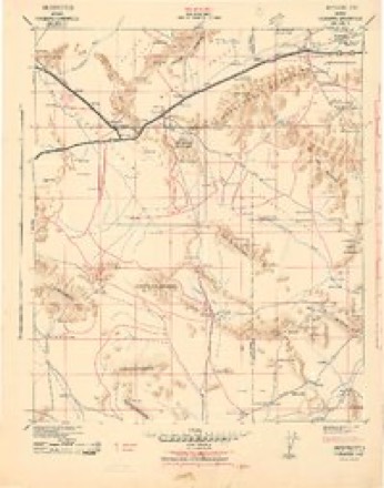
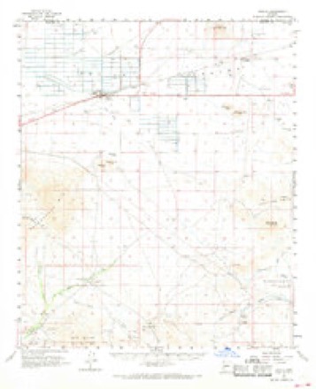
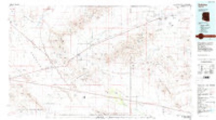
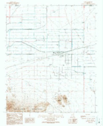
10 surveys from 16 printed sheetsMatched by testing this settlement's coordinate against the published boundary of every sheet in the United States Geological Survey's historical collection. Each opens the scanned sheet at the Survey.
- 1942 USGS Vicksburg quadrangle1:250000
- 1954 USGS Phoenix quadrangle1:250000, 5 printings
- 1957 USGS Phoenix quadrangle1:250000
- 1958 USGS Phoenix quadrangle1:250000
- 1960 USGS Phoenix quadrangle1:250000
- 1962 USGS Aguila quadrangle1:62500, 2 printings
- 1969 USGS Phoenix quadrangle1:250000, 2 printings
- 1971 USGS Phoenix quadrangle1:250000
- 1984 USGS Salome quadrangle1:100000
- 1990 USGS Aguila quadrangle1:24000






Fires near this place
10 since 1992Regional context, not property-specific evidence. The federal wildfire occurrence database lists 10 fires within 5 miles of Aguila between 1992 and 2020, burning about 1,579 acres in total. None started naturally. None was recorded as arson. Distance is straight-line from the map coordinates, so a fire counted here may appear on a neighbouring settlement's page as well.
| Reported cause | Fires |
|---|---|
| Missing data/not specified/undetermined | 6 |
| Equipment and vehicle use | 2 |
| Smoking | 1 |
| Railroad operations and maintenance | 1 |
The most recent of them, most recent first, with the day each was reported and the service that recorded it.
| Date | Cause | Size | Reported by | Name on the report |
|---|---|---|---|---|
| 15 August 2019 | Railroad operations and maintenance | under an acre | Wickenburg Fire Department | NOT NAMED |
| 7 July 2005 | Equipment and vehicle use | 1,300 acres | Arizona Department of Forestry and Fire Management - State Office | AGRO |
| 26 July 1995 | Smoking | 95 acres | Arizona Department of Forestry and Fire Management - State Office | not named |
| 15 July 2019 | Missing data/not specified/undetermined | under an acre | Aguila Fire District | NOT NAMED |
| 4 June 2020 | Missing data/not specified/undetermined | 151 acres | Arizona Department of Forestry and Fire Management - Central District | EAGLE |
| 23 June 1995 | Missing data/not specified/undetermined | 20 acres | Arizona Department of Forestry and Fire Management - State Office | not named |
| 17 June 2016 | Missing data/not specified/undetermined | 2.5 acres | Arizona Department of Forestry and Fire Management - State Office | EAGLE EYE |
| 16 June 2017 | Missing data/not specified/undetermined | 2.1 acres | Arizona Department of Forestry and Fire Management - Central District | LAPHAM |
Settlements close enough to share some of these fires:
Mines and quarries near this place
1 within 5 milesRegional context, not property-specific evidence. The federal mineral resources record lists 1 working within 5 miles of Aguila: 1 unknown. None of them still produces. What was taken out: Sand and Gravel, Construction. Distance is straight-line from the map coordinates, so a quarry counted here may appear on a neighbouring settlement's page as well.
| Where | Site | Commodity | Status | Recorded |
|---|---|---|---|---|
| Gravel Pit | Sand and Gravel, Construction | Unknown |
Storms near this place
12 since 1997Regional context, not property-specific evidence. The National Weather Service names Aguila in 12 storm reports between 1997 and 2025: 8 flash flood, 2 thunderstorm wind, 1 flood, 1 tornado. No death or injury is recorded in these reports. Each account below is quoted exactly as the forecast office filed it, from the NOAA Storm Events Database, and each date opens the federal record of that event.
| When | Event | Place named | Harm | What the report says |
|---|---|---|---|---|
| October 2000 | Flash Flood | Aguila | $2,000,000 | A spotter in Wickenburg reported that route 93 was closed north of Wickenburg due to high water. Sols wash was out of its banks and flooded Coffinger Park as well as nearby homes. The Vulture Mine road was closed and motorists had to be rescued. Flood waters produced considerable damage to melon and cotton crops in this rural area of northwest Maricopa County. The roads around Aguila were closed for several hours. |
| October 2000 | Flash Flood | Aguila | $2,000,000 | The second major storm in a week left considerable flooding in both rural and urban areas. A trailer park in Aguila and another in Buckeye had to be evacuated. Homes in Peoria, Youngtown, Surprise and surrounding areas reported flooding. The hardest hit was the Ventana Lakes subdivision of Peoria. This area expeienced record or near record monthly rainfall totals; one unofficial gauge 15 miles east of Aguila registered 8.79 inches for the month! A gauge in Aguila had 5.05 inches for the month. Department of Transportation estimate of damage to roads and bridges alone was $1,000,000. Dikes and ditches in the agricultural areas sustained major damage in addition to crop losses. |
| July 2007 | Flash Flood | Aguila | $150,000 | Locally heavy rains resulted in flooded streets and considerable water in washes and other low-lying areas. A car stalled at Country Club Drive underneath the Broadway Road bridge where about 2 feet of water had accumulated. Several water rescues were made when vehicles became stuck in flooded areas on Carefree highway.| |
| August 2004 | Thunderstorm Wind | Aguila | $60,000 | Home heavily damaged by winds from severe thunderstorm as reported by county relief aid volunteers. |
| November 2025 | Tornado (EF0) | Aguila | $50,000 | Public sent a video of a brief tornado near the intersection of HWY 60 and N 439th Avenue in Forepaugh, AZ. This tornado crossed HWY 60 and produced EF-0 damage at a property on the north side of the highway. Damage included a flipped RV trailer, minor damage to other vehicles, and loss of a garage roof. Wind speeds with this tornado were estimated between 80-85 mph. Timing estimated by radar. No injuries reported. |
| August 2022 | Flash Flood | Aguila | $20,000 | A Flood Control District of Maricopa County Stream Gauge of Jackrabbit Wash at Vulture Mine Road reported water levels rising rapidly above alarm stage at around 1713 MST, with a peak flow of 4.88 feet (3651 cfs) at 1803 MST, and going back down below alarm stage at around 1926 MST. This amount of water flow likely flooded Aguila Road upstream of the gauge and Wickenburg Road, where a water rescue was performed, located 5 miles downstream of the gauge. No injuries were reported. Based on the report from the Phoenix Dispatch, water got halfway up on an unoccupied vehicle stuck along the flood waters from Jackrabbit Wash located along Wickenburg Road. |
| September 2019 | Flash Flood | Aguila | $10,000 | Scattered to numerous showers and thunderstorms continued to develop across western Maricopa County during the afternoon hours on September 23rd and some of the storms produced intense rainfall with peak rain rates well in excess of 1 inch per hour. The very heavy rain led to flash flooding well to the west of Phoenix and near the La Paz County line during the late afternoon. According to the Arizona Department of Highways, at 1633MST flash flooding caused debris to flow across Eagle Eye Road and as a result the road was closed. This occurred roughly 10 miles to the southeast of Gladden and just to the east of the La Paz County line. Fortunately there were no accidents or injuries associated with the debris over the road. Although a Flash Flood Warning was in effect at the time, it was for an area to the east of where the flooding actually occurred. |
| July 2024 | Thunderstorm Wind | Aguila | - | A mesonet station in Aguila measured a 58 mph wind gust. |
| August 2022 | Flash Flood | Aguila | - | Multiple road closures due to flooding were reported in Aguila from the Flood Control District of Maricopa County. Timing estimated from radar. No damages or injuries were reported. |
| September 2022 | Flash Flood | Aguila | - | Maricopa County Department of Transportation reported that Eagle Eye Road was closed between Aguila Road and Mile Post 0 due to flooding. Timing and location of impacts was adjusted based on radar. There were no reports of damage. |
| March 2001 | Flood | Aguila | - | Heavy rain over much of south central Arizona left washes running and streets flooded or closed. More than 2 inches of rain fell in and around Wickenburg. One to 2 inches fell over much of the Phoenix area.Air traffic was slowed at Sky Harbor airport as about 300 planes were delayed. |
| September 1997 | Flash Flood | Aguila | - | Widespread flooding occurred in the town of Aguila. Many properties and roads were under six inches of water. There was also a report of water flowing across Eagle Eye Road in western Aguila. |
Nearest settlements
The eight closest, with where each one stands in the county. Distances are straight-line, computed from the Geographic Names Information System coordinates.
| Map | Place | Distance | Sheets |
|---|---|---|---|
| Forepaugh | 7.1 miles | 16 | |
| Gladden | 7.2 miles | 17 | |
| Ambrosia Mill | 9.9 miles | 16 | |
| Matthie | 19.7 miles | 18 | |
| Wickenburg | 23.6 miles | 17 | |
| Allah | 25.6 miles | 17 | |
| Morristown | 29.8 miles | 17 | |
| Circle City | 32.7 miles | 17 |
Elsewhere
Matched on this settlement's Geographic Names Information System number rather than its name, so it cannot be a different place of the same name in another state.
| Wikipedia article on Aguila | An encyclopaedic summary. Its text is share-alike, so it is linked here rather than copied. |
| Wikidata item Q3476619 | The structured record the population and elevation above come from. Public domain (CC0). |
Provenance
This settlement is recorded in the Geographic Names Information System as feature 516. The sheet list is computed by point-in-boundary test against the United States Geological Survey's historical topographic inventory. Both are works of the United States government and carry no copyright under 17 U.S.C. 105.
Wildfire. Short, Karen C. 2022. Spatial wildfire occurrence data for the United States, 1992-2020 [FPA_FOD_20221014]. 6th Edition. Fort Collins, CO: Forest Service Research Data Archive. https://doi.org/10.2737/RDS-2013-0009.6 Collected with United States Government funding and usable without additional permissions or fees.
Mines and quarries. USGS Mineral Resources Data System (MRDS) https://mrdata.usgs.gov/mrds/ A work of the United States government, no copyright under 17 U.S.C. 105.
Storms. NOAA National Centers for Environmental Information, Storm Events Database https://www.ncei.noaa.gov/stormevents/ A work of the United States government, no copyright under 17 U.S.C. 105. Narratives are quoted verbatim from the National Weather Service report and are not edited or summarised.