 Block
Arizola, Arizona
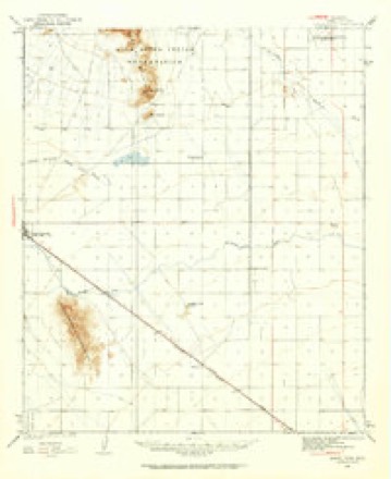
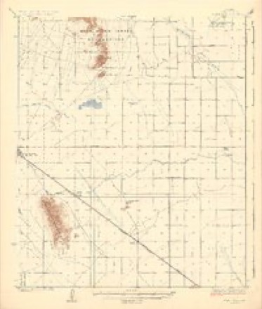
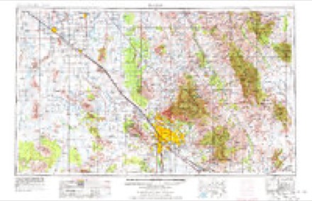
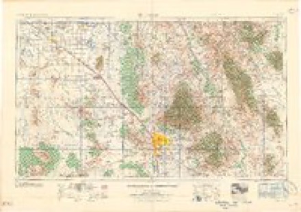
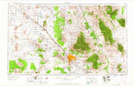
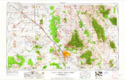
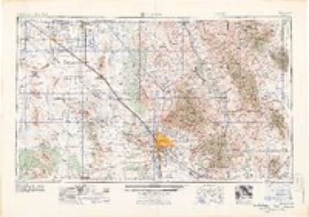
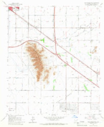
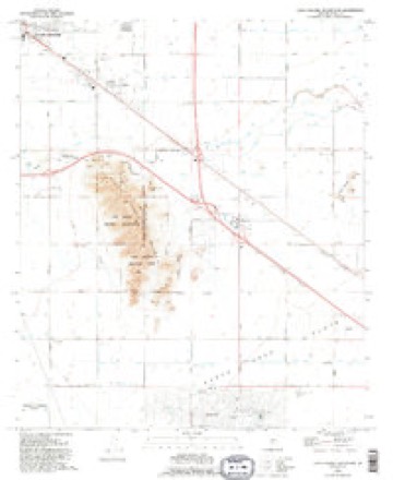
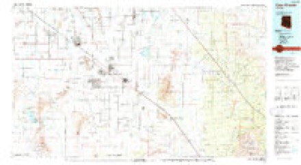
20 topographic sheets cover this place, the earliest surveyed in 1922 and the latest in 1994. It stands in the Casa Grande census division. It lies in ZIP code area 85122. The Survey maps it on the Casa Grande Mountains quadrangle.
Topographic sheets covering this place
10 surveys from 20 printed sheetsMatched by testing this settlement's coordinate against the published boundary of every sheet in the United States Geological Survey's historical collection. Each opens the scanned sheet at the Survey.
- 1922 USGS Signal Peak quadrangle1:62500, 2 printings
- 1924 USGS Signal Peak quadrangle1:62500, 3 printings
- 1956 USGS Tucson quadrangle1:250000, 3 printings
- 1958 USGS Tucson quadrangle1:250000
- 1959 USGS Tucson quadrangle1:250000, 2 printings
- 1962 USGS Tucson quadrangle1:250000
- 1964 USGS Tucson quadrangle1:250000
- 1965 USGS Casa Grande Mts quadrangle1:24000, 3 printings
- 1992 USGS Casa Grande Mountains quadrangle1:24000
- 1994 USGS Casa Grande quadrangle1:100000, 3 printings
Fires near this place
167 since 1993Regional context, not property-specific evidence. The federal wildfire occurrence database lists 167 fires within 5 miles of Arizola between 1993 and 2020, burning about 137 acres in total. 6 started naturally. 1 was recorded as arson. Distance is straight-line from the map coordinates, so a fire counted here may appear on a neighbouring settlement's page as well.
| Reported cause | Fires |
|---|---|
| Missing data/not specified/undetermined | 128 |
| Smoking | 9 |
| Equipment and vehicle use | 9 |
| Debris and open burning | 9 |
| Natural | 6 |
| Recreation and ceremony | 2 |
| Arson/incendiarism | 1 |
| Misuse of fire by a minor | 1 |
| Railroad operations and maintenance | 1 |
| Power generation/transmission/distribution | 1 |
The most recent of them, most recent first, with the day each was reported and the service that recorded it.
| Date | Cause | Size | Reported by | Name on the report |
|---|---|---|---|---|
| 9 September 2015 | Missing data/not specified/undetermined | under an acre | Arizona Department of Forestry and Fire Management - State Office | FLORENCE |
| 5 September 2019 | Missing data/not specified/undetermined | under an acre | Casa Grande Fire Department | NOT NAMED |
| 25 September 1995 | Smoking | under an acre | Arizona Department of Forestry and Fire Management - State Office | not named |
| 21 September 2019 | Natural | under an acre | Casa Grande Fire Department | NOT NAMED |
| 21 September 2019 | Natural | under an acre | Casa Grande Fire Department | NOT NAMED |
| 21 September 2019 | Natural | under an acre | Casa Grande Fire Department | NOT NAMED |
| 19 September 2007 | Missing data/not specified/undetermined | under an acre | Arizona Department of Forestry and Fire Management - State Office | PETERS ROAD |
| 17 September 2005 | Missing data/not specified/undetermined | under an acre | Arizona Department of Forestry and Fire Management - State Office | BACKSIDE |
Settlements close enough to share some of these fires:
Mines and quarries near this place
10 of 18 shownRegional context, not property-specific evidence. The federal mineral resources record lists 18 workings within 5 miles of Arizola: 12 past producers, 4 producers, 1 occurrence, 1 prospect. 4 still produce. What was taken out: Sand and Gravel, Construction, Stone, Gypsum-Anhydrite. Distance is straight-line from the map coordinates, so a quarry counted here may appear on a neighbouring settlement's page as well.
| Where | Site | Commodity | Status | Recorded |
|---|---|---|---|---|
| Gypsum Mines | Gypsum-Anhydrite | Producer | ||
| Stone Quarry | Stone | Past Producer | ||
| Casa Grande Mts 3 | Sand and Gravel, Construction | Prospect | ||
| Casa Grande Plant #9 | Sand and Gravel, Construction | Producer | ||
| Gravel Pit | Sand and Gravel, Construction | Past Producer | ||
| Gravel Pit | Sand and Gravel, Construction | Past Producer | ||
| Gravel Pit | Sand and Gravel, Construction | Past Producer | ||
| Gravel Pit | Sand and Gravel, Construction | Past Producer | ||
| Gravel Pit | Sand and Gravel, Construction | Past Producer | ||
| Gravel Pits | Sand and Gravel, Construction | Past Producer |
Storms near this place
4 since 2007Regional context, not property-specific evidence. The National Weather Service names Arizola in 4 storm reports between 2007 and 2017: 3 thunderstorm wind, 1 flash flood. No death or injury is recorded in these reports. Each account below is quoted exactly as the forecast office filed it, from the NOAA Storm Events Database, and each date opens the federal record of that event.
| When | Event | Place named | Harm | What the report says |
|---|---|---|---|---|
| August 2007 | Thunderstorm Wind | Arizola | $5,000,000 | About 90 mobile homes damaged or destroyed at Las Casitas trailer park. One third of them were blown off their foundations. About 150 people evacuated due to damage and numerous gas leaks. Unknown number of people had minor injuries. Numerous trees were blown down and about a mile-long stretch of power poles were damaged. |
| July 2013 | Thunderstorm Wind | Arizola | $25,000 | Isolated thunderstorms developed during the evening hours across portions of northern Pinal County, and they produced strong, gusty and damaging outflow winds estimated to be in excess of 50 mph. According to local law enforcement, strong winds blew down several power poles near Thornton Road and West Hanna Street, about 4 miles southwest of Casa Grande. Although a severe thunderstorm warning was not in effect at the time, there was a significant weather advisory issued for the area highlighting the potential for strong gusty thunderstorm winds. |
| August 2017 | Flash Flood | Arizola | $5,000 | Scattered thunderstorms developed across the northern portion of Pinal County during the evening hours on August 3rd, and some of the stronger storms affected areas around the town of Casa Grande. One of the primary weather hazards was intense rainfall which led to episodes of flash flooding over the lower deserts; the flooding caused roads to become impassable and resulted in various road closures. According to the city of Casa Grande Public Works Department, Overfield Road between Florence Highway 287 and Selma Highway was closed due to the high water. A Flash Flood Warning was in effect for the area during the flooding; it was issued at 1858MST and was cancelled at 2133MST. |
| August 2007 | Thunderstorm Wind | Arizola | $5,000 | Power poles were blown down on Thornton Road just north of Interstate 8. |
Newspapers printed here
10,337 digitised pages1 paper published in this town, digitised by the Library of Congress and free to read: 956 issues, 10,337 pages. Every page is searchable, so a name or a street can be looked for directly in what the town printed about itself at the time.
| Newspaper | Published |
|---|---|
| The Oasis | 1893 to 1920 |
What the paper printed
8,597 wordsFront pages of the local paper, read from the Library of Congress scans: 5 issues all from 1893, 8,597 words in total. Each is reproduced on its own page, exactly as the recogniser returned it.
These pages read less well than anything else here, and the number is worth stating: about three words in four come through cleanly, against nine in ten for the building records. An 1896 broadsheet sets eight-point type in seven columns on microfilm, which is the hardest thing in this archive to read by machine. We tested our own recognisers against the Library's and they were not better, so the Library's text is what appears, with the wholly unreadable columns removed. Read it as a guide to what the paper covered, and follow the link to the scan before quoting anything.
| Issue | Paper | Length |
|---|---|---|
| 1893-05-11 | The Oasis | 497 words |
| 1893-06-29 | The Oasis | 2,414 words |
| 1893-08-17 | The Oasis | 2,201 words |
| 1893-10-12 | The Oasis | 1,234 words |
| 1893-11-30 | The Oasis | 2,251 words |
Nearest settlements
The eight closest, with where each one stands in the county. Distances are straight-line, computed from the Geographic Names Information System coordinates.
| Map | Place | Distance | Sheets |
|---|---|---|---|
| Casa Grande | 3.0 miles | 18 | |
| Toltec | 6.7 miles | 19 | |
| Arizona City | 7.0 miles | 20 | |
| Chuichu | 7.8 miles | 17 | |
| Eleven Mile Corner | 8.0 miles | 21 | |
| Shopishk | 9.6 miles | 19 | |
| Eloy | 10.7 miles | 19 | |
| La Palma | 10.7 miles | 21 |
Provenance
This settlement is recorded in the Geographic Names Information System as feature 765. The sheet list is computed by point-in-boundary test against the United States Geological Survey's historical topographic inventory. Both are works of the United States government and carry no copyright under 17 U.S.C. 105.
Wildfire. Short, Karen C. 2022. Spatial wildfire occurrence data for the United States, 1992-2020 [FPA_FOD_20221014]. 6th Edition. Fort Collins, CO: Forest Service Research Data Archive. https://doi.org/10.2737/RDS-2013-0009.6 Collected with United States Government funding and usable without additional permissions or fees.
Mines and quarries. USGS Mineral Resources Data System (MRDS) https://mrdata.usgs.gov/mrds/ A work of the United States government, no copyright under 17 U.S.C. 105.
Storms. NOAA National Centers for Environmental Information, Storm Events Database https://www.ncei.noaa.gov/stormevents/ A work of the United States government, no copyright under 17 U.S.C. 105. Narratives are quoted verbatim from the National Weather Service report and are not edited or summarised.