 Block
Casa Grande, Arizona
18 topographic sheets cover this place, the earliest surveyed in 1922 and the latest in 1994. It stands in the Casa Grande census division. It lies in ZIP code area 85122. The Survey maps it on the Casa Grande West quadrangle. 53,658 people lived here at the 2020 count. It stands 1,398 feet above sea level.
Research this city
On record in Casa Grande
Buildings and businesses the archive holds for this place. Each opens its own page, with the source record it came from.
On the National Register 12 of 53 shown
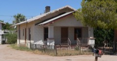 Earl Bayless Houselisted 1985
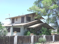 Baylis, Wilbur O./Grasty Houselisted 1985
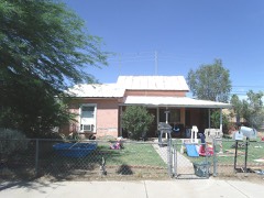 Bien/McNatt Houselisted 1985
 Building at 121 North Florence Streetlisted 2002
 Building at 400 East Third Streetlisted 2002
 Casa Grande Dispatchlisted 2002
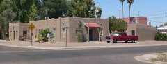 Casa Grande Hospitallisted 2002
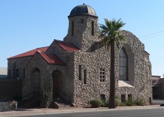 Casa Grande Stone Churchlisted 1978
 Casa Grande Union High School and Gymnasiumlisted 1986
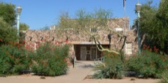 Casa Grande Woman's Club Buildinglisted 1979
 William Cox Buildinglisted 1999
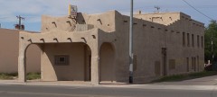 Cruz Trading Postlisted 1985
Population over time
2 figuresCasa Grande grew from 48,571 to 53,658 between 2010 and 2020. These are the recorded population figures Wikidata holds for this place, reached through the Geographic Names Information System number this page is keyed on rather than by name, so they belong to this place and not to another of the same name. Most are census counts, but not all are: an early figure may be a founding or settlement estimate, and an estimate published within five years of a census is left out. The change column is computed, and is left blank where more than 20 years separate a figure from the one before it, because a gap that long is not a change between two counts.
| Year | People | Change |
|---|---|---|
| 2010 | 48,571 | |
| 2020 | 53,658 | +5,087 (+10%) |
Topographic sheets covering this place
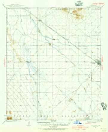
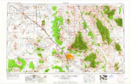
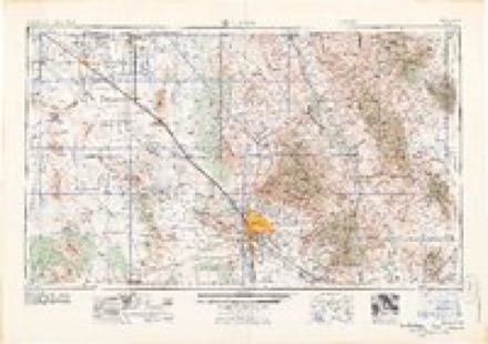
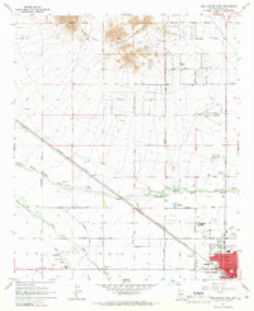
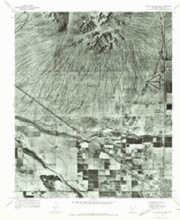
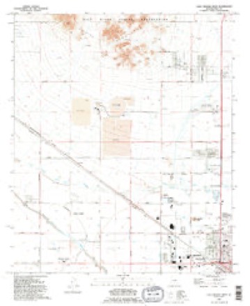
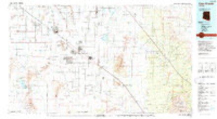
11 surveys from 18 printed sheetsMatched by testing this settlement's coordinate against the published boundary of every sheet in the United States Geological Survey's historical collection. Each opens the scanned sheet at the Survey.
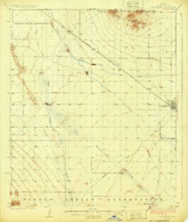
- 1922 USGS Casa Grande quadrangle1:62500, 2 printings
- 1924 USGS Casa Grande quadrangle1:62500
- 1956 USGS Tucson quadrangle1:250000, 3 printings
- 1958 USGS Tucson quadrangle1:250000
- 1959 USGS Tucson quadrangle1:250000, 2 printings
- 1962 USGS Tucson quadrangle1:250000
- 1964 USGS Tucson quadrangle1:250000
- 1965 USGS Casa Grande West quadrangle1:24000, 2 printings
- 1971 USGS Casa Grande West quadrangle1:24000
- 1992 USGS Casa Grande West quadrangle1:24000
- 1994 USGS Casa Grande quadrangle1:100000, 3 printings
Photographs
8 of 22 photographs shown, 1940 to 1942Taken for the Office of War Information and the Farm Security Administration, who photographed the country between 1935 and 1944. Works of United States government photographers, with no known restriction on use. Each opens its catalogue record.

Lee, Russell, 1940. Library of Congress

Lee, Russell, 1940. Library of Congress
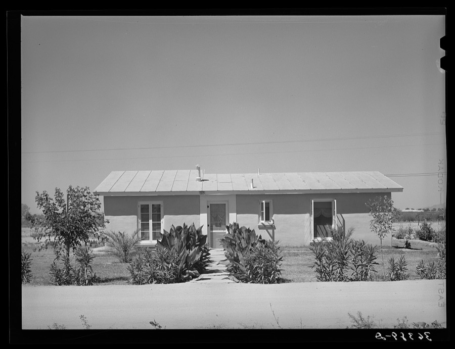
Lee, Russell, 1940. Library of Congress

Lee, Russell, 1940. Library of Congress

Lee, Russell, 1940. Library of Congress
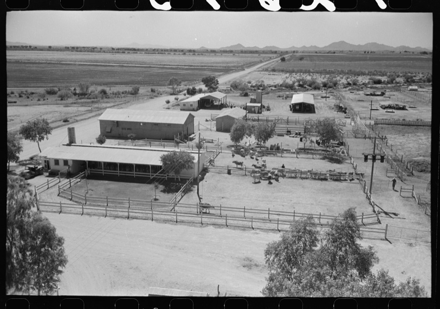
Lee, Russell, 1940. Library of Congress

Lee, Russell, 1940. Library of Congress

Lee, Russell, 1942. Library of Congress
Every photograph of Pinal County
Fires near this place
212 since 1993Regional context, not property-specific evidence. The federal wildfire occurrence database lists 212 fires within 5 miles of Casa Grande between 1993 and 2020, burning about 204 acres in total. 9 started naturally. 4 were recorded as arson. Distance is straight-line from the map coordinates, so a fire counted here may appear on a neighbouring settlement's page as well.
| Reported cause | Fires |
|---|---|
| Missing data/not specified/undetermined | 153 |
| Debris and open burning | 17 |
| Equipment and vehicle use | 10 |
| Smoking | 9 |
| Natural | 9 |
| Recreation and ceremony | 4 |
| Arson/incendiarism | 4 |
| Misuse of fire by a minor | 2 |
| Power generation/transmission/distribution | 2 |
| Railroad operations and maintenance | 2 |
The most recent of them, most recent first, with the day each was reported and the service that recorded it.
| Date | Cause | Size | Reported by | Name on the report |
|---|---|---|---|---|
| 9 September 2015 | Missing data/not specified/undetermined | under an acre | Arizona Department of Forestry and Fire Management - State Office | FLORENCE |
| 5 September 2019 | Missing data/not specified/undetermined | under an acre | Casa Grande Fire Department | NOT NAMED |
| 29 September 2020 | Missing data/not specified/undetermined | under an acre | Arizona Department of Forestry and Fire Management - State Office | not named |
| 25 September 1995 | Smoking | under an acre | Arizona Department of Forestry and Fire Management - State Office | not named |
| 24 September 2005 | Arson/incendiarism | under an acre | Arizona Department of Forestry and Fire Management - State Office | ETHINGTON |
| 21 September 2019 | Natural | under an acre | Casa Grande Fire Department | NOT NAMED |
| 21 September 2019 | Natural | under an acre | Casa Grande Fire Department | NOT NAMED |
| 21 September 2019 | Natural | under an acre | Casa Grande Fire Department | NOT NAMED |
Settlements close enough to share some of these fires:
Mines and quarries near this place
10 of 16 shownRegional context, not property-specific evidence. The federal mineral resources record lists 16 workings within 5 miles of Casa Grande: 10 past producers, 4 producers, 1 occurrence, 1 prospect. 4 still produce. What was taken out: Sand and Gravel, Construction, Stone, Gypsum-Anhydrite. Distance is straight-line from the map coordinates, so a quarry counted here may appear on a neighbouring settlement's page as well.
| Where | Site | Commodity | Status | Recorded |
|---|---|---|---|---|
| Gypsum Mines | Gypsum-Anhydrite | Producer | ||
| Stone Quarry | Stone | Past Producer | ||
| Casa Grande Mts 3 | Sand and Gravel, Construction | Prospect | ||
| Casa Grande Plant #9 | Sand and Gravel, Construction | Producer | ||
| Gravel Pit | Sand and Gravel, Construction | Past Producer | ||
| Gravel Pit | Sand and Gravel, Construction | Past Producer | ||
| Gravel Pit | Sand and Gravel, Construction | Past Producer | ||
| Gravel Pit | Sand and Gravel, Construction | Past Producer | ||
| Gravel Pit | Sand and Gravel, Construction | Past Producer | ||
| Gravel Pits | Sand and Gravel, Construction | Past Producer |
Storms near this place
32 since 1993Regional context, not property-specific evidence. The National Weather Service names Casa Grande in 32 storm reports between 1993 and 2025: 21 thunderstorm wind, 3 hail, 3 flash flood, 2 heavy rain. The reports record 2 deaths and 3 injuries. Each account below is quoted exactly as the forecast office filed it, from the NOAA Storm Events Database, and each date opens the federal record of that event.
| When | Event | Place named | Harm | What the report says |
|---|---|---|---|---|
| September 1993 | Thunderstorm Wind | Casa Grande | 1 killed, 2 hurt, $500,000 | A severe thunderstorm moved into the far northern part of the city of Casa Grande, and overturned a mobile home which pinned a small child underneath. The little girl later died of her injuries. The very strong thunderstorm winds also downed power lines and blew down a medium-size pine tree. Heavy rains also flooded part of Interstate 10 near mile post 190, and a subdivision had to be cordoned off due to high waters. (F03M) |
| October 2000 | Lightning | Casa Grande | 1 killed, 1 hurt | A 17 year-old girl was killed and her 3 year-old nephew was burned . |
| June 2006 | Thunderstorm Wind | Casa Grande | $100,000 | Roof damage reported in the Tierra Grande subdivision. |
| August 2016 | Thunderstorm Wind | Casa Grande | $75,000 | Strong thunderstorms moved across the community of Casa Grande during the middle of the afternoon on August 3rd and they produced gusty and damaging outflow winds estimated to be at least 70 mph in strength. Local Casa Grande police reported significant storm damage about 2 miles northeast of Casa Grande; at least 6 power poles were downed along with 2 brick fences. In addition, several trees were knocked over. Fortunately there were no reports of injuries. |
| August 2013 | Thunderstorm Wind | Casa Grande | $50,000 | Scattered thunderstorms developed across the deserts of south central Arizona during the late afternoon hours on August 26th, and they affected Casa Grande as well as the surrounding areas. The atmosphere was moist and very unstable and this allowed the thunderstorms to produce strong and damaging winds. A trained weather spotter about 2 miles northeast of Casa Grande reported debris, including a basketball hoop, flying down the street due to very strong winds. Another trained spotter on the northeast side of Casa Grande reported damage at a Home Depot. Cars in the parking lot were damaged by heavy debris blown about by winds of at least 60 mph. Additionally, a co-op observer 4 miles northwest of Eloy reported that several trees were downed by strong winds. He also estimated wind gusts to be around 60 mph. Two Severe Thunderstorm Warnings were issued for these damaging wind events; the first was issued at 1726MST and expired at 1745MST. The second was issued at 1747MST and ran through 1845MST. |
| July 2011 | Thunderstorm Wind | Casa Grande | $10,000 | Strong thunderstorms with damaging microburst winds developed near the community of Casa Grande during the evening hours of July 5th. According to a public report, thunderstorm winds estimated to be in excess of 55 knots blew over a semi truck along Interstate 8 at Mile Marker 169. No injuries were reported. |
| August 2007 | Thunderstorm Wind | Casa Grande | $10,000 | Two or more railroad crossing arms along Jimmy Kerr Blvd. were damaged due to strong winds. |
| August 2013 | Flash Flood | Casa Grande | $5,000 | Scattered thunderstorms developed across portions of northern Pinal county during the afternoon hours on August 26th, and they affected the area around Casa Grande. Lingering tropical moisture made the airmass very moist and unstable, and the thunderstorms quickly generated heavy rain which was sufficient to produce flash flooding. At 1820MST, a trained weather spotter just north of Casa Grande reported water rapidly flowing down his street and additional water was flooding into numerous backyards. At 1815MST, another trained spotter near Sacaton reported water flowing rapidly across streets west of Sacaton, which made area roads impassable for at least 30 minutes. A Flash Flood Warning was issued for the area at 1810MST and it continued through 2015MST. |
| July 2011 | Thunderstorm Wind | Casa Grande | $5,000 | Strong thunderstorms developed in the Casa Grande area during the late afternoon hours on July 31st. A trained weather spotter 2 miles east of Casa Grande reported an estimated wind gust to 65 mph. The strong microburst winds damaged the roof on a neighboring home. |
| August 2007 | Thunderstorm Wind | Casa Grande | $5,000 | Power lines and poles along Arizola Ave were damaged by high winds. |
| September 2025 | Thunderstorm Wind | Casa Grande | $2,000 | Downed power lines along Thornton Road between Peters Road and Selma Highway in Casa Grande. Wind gusts were estimated at 55-60 mph. Timing estimated from radar. No injuries reported. |
| July 2023 | Thunderstorm Wind | Casa Grande | $2,000 | An overhead street sign was blown down in the area of Pinal Avenue and Florence Boulevard in Casa Grande. Wind gusts were estimated around 55 mph. No injuries were reported. |
| August 2023 | Thunderstorm Wind | Casa Grande | - | A 58 mph wind gust was measured at a mesonet station located just northwest of Casa Grande. |
| July 2021 | Thunderstorm Wind | Casa Grande | - | The Desert Basin SRP mesonet station in Casa Grande recorded a peak gust of 63 mph as severe thunderstorms moved through the area. |
| October 2018 | Heavy Rain | Casa Grande | - | Numerous moderate to heavy showers developed across the deserts of northwest Pinal County during the morning hours on October 13th and some of them affected the community of Casa Grande. The showers were triggered by the approach of a strong Pacific low pressure system and the heavier showers experienced peak rain rates in excess of one inch per hour. At 0955MST a report from the general public was received that indicated curb to curb street flooding was occurring in a neighborhood in the town of Casa Grande. Significant flash flooding did not occur however and no accidents were reported. |
| August 2015 | Thunderstorm Wind | Casa Grande | - | Thunderstorms affected the central deserts of Arizona, including the community of Casa Grande, during the evening hours on August 11th and one of the stronger ones produced outflow winds in excess of 60 mph. At 2045MST a mesonet weather station 3 miles to the northwest of Casa Grande measured a peak wind gust of 65 mph. Shortly thereafter, at 2055MST the official Casa Grande airport AWOS weather station measured a wind gust of 59 mph. |
| July 2012 | Heavy Rain | Casa Grande | - | Scattered to numerous showers, and isolated thunderstorms, developed across south central Arizona during the morning hours on July 4th, and they produced locally heavy rain which affected the communities of Casa Grande and Maricopa. Based on radar estimates and surrounding rain gage reports, rainfall in excess of one inch fell within a 3 hour period ending by 11:30 am. At 9:30 am, the Casa Grande Fire Department/Rescue reported local street flooding in Casa Grande with water 3-4 inches deep over area roads. Local media reported road closures from Murphy Road to White and Parker Road along the West Maricopa-Casa Grande Highway southeast of Maricopa, due to the locally heavy rainfall. |
| August 2005 | Thunderstorm Wind | Casa Grande | - | Amateur radio operators reported trees and power poles blown down in Casa Grande. |
| August 2003 | Thunderstorm Wind | Casa Grande | - | Microburst winds damaged a trailer after being blown about 100 feet. |
| September 1999 | Thunderstorm Wind | Casa Grande | - | Winds destroyed at least one mobile home and damaged others in the Casa Grande West subdivision. |
| July 1999 | Thunderstorm Wind | Casa Grande | - | Power lines snapped. |
| July 1998 | Flash Flood | Casa Grande | - | Widespread flooding of streets with rainfall up to 2.82 inches in about 3 hours. |
| August 1997 | Funnel Cloud | Casa Grande | - | Three funnel clouds were sighted. |
| June 1995 | Thunderstorm Wind | Casa Grande | - | Thunderstorm winds bent a steel utility pole into a metal storage shed in the 2100 block of North Trekell Road. The winds damaged a 20- by 30-foot steel storage structure at Foxworth-Galbraith Lumber Company in the 2100 block of North Pinal Avenue and blew a shed in the Rancho Del Sol Mobile Home Park on North Trekell into a parked car. Several mobile homes in the area sustained damage. ARKANSAS, Central and North Central |
| August 1993 | Tornado (F0) | Casa Grande | - | Sheriff's office reported roofs damaged in La Palma. |
| September 1993 | Hail | Casa Grande | - | A severe thunderstorm moved into the far northern part of the city of Casa Grande, and overturned a mobile home which pinned a small child underneath. The little girl later died of her injuries. The very strong thunderstorm winds also downed power lines and blew down a medium-size pine tree. Heavy rains also flooded part of Interstate 10 near mile post 190, and a subdivision had to be cordoned off due to high waters. (F03M) |
| August 2004 | Hail | Casa Grande | - | no account filed |
| July 1996 | Thunderstorm Wind | Casa Grande | - | no account filed |
| August 1996 | Thunderstorm Wind | Casa Grande | - | no account filed |
| August 1996 | Flash Flood | Casa Grande | - | no account filed |
| August 1996 | Thunderstorm Wind | Casa Grande | - | no account filed |
| September 1993 | Hail | Casa Grande | - | no account filed |
Newspapers printed here
14 digitised pages1 paper published in this town, digitised by the Library of Congress and free to read: 3 issues, 14 pages. Every page is searchable, so a name or a street can be looked for directly in what the town printed about itself at the time.
| Newspaper | Published |
|---|---|
| Eleven Mile News | 1941 to 194? |
Nearest settlements
The eight closest, with where each one stands in the county. Distances are straight-line, computed from the Geographic Names Information System coordinates.
| Map | Place | Distance | Sheets |
|---|---|---|---|
| Arizola | 3.0 miles | 20 | |
| Chuichu | 8.9 miles | 17 | |
| Toltec | 9.7 miles | 19 | |
| Arizona City | 9.7 miles | 20 | |
| Burns | 10.1 miles | 19 | |
| Eleven Mile Corner | 10.1 miles | 21 | |
| Bon | 10.2 miles | 18 | |
| Stanfield | 10.9 miles | 18 |
Elsewhere
Matched on this settlement's Geographic Names Information System number rather than its name, so it cannot be a different place of the same name in another state.
| Wikipedia article on Casa Grande | An encyclopaedic summary. Its text is share-alike, so it is linked here rather than copied. |
| Wikidata item Q79889 | The structured record the population and elevation above come from. Public domain (CC0). |
Provenance
This settlement is recorded in the Geographic Names Information System as feature 24269. The sheet list is computed by point-in-boundary test against the United States Geological Survey's historical topographic inventory. Both are works of the United States government and carry no copyright under 17 U.S.C. 105.
Wildfire. Short, Karen C. 2022. Spatial wildfire occurrence data for the United States, 1992-2020 [FPA_FOD_20221014]. 6th Edition. Fort Collins, CO: Forest Service Research Data Archive. https://doi.org/10.2737/RDS-2013-0009.6 Collected with United States Government funding and usable without additional permissions or fees.
Mines and quarries. USGS Mineral Resources Data System (MRDS) https://mrdata.usgs.gov/mrds/ A work of the United States government, no copyright under 17 U.S.C. 105.
Storms. NOAA National Centers for Environmental Information, Storm Events Database https://www.ncei.noaa.gov/stormevents/ A work of the United States government, no copyright under 17 U.S.C. 105. Narratives are quoted verbatim from the National Weather Service report and are not edited or summarised.