 Block
Harcuvar, Arizona
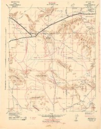
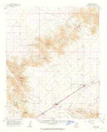
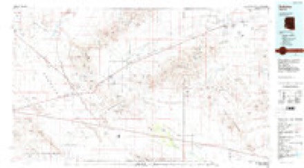
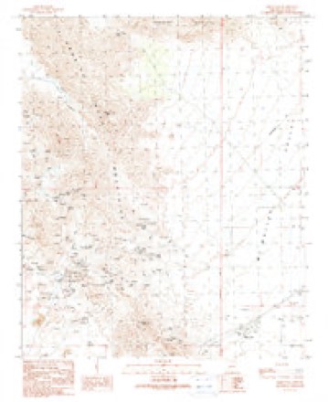
17 topographic sheets cover this place, the earliest surveyed in 1942 and the latest in 1990. It stands in the Parker census division. It lies in ZIP code area 85348. The Survey maps it on the Harcuvar quadrangle.
Topographic sheets covering this place
10 surveys from 17 printed sheetsMatched by testing this settlement's coordinate against the published boundary of every sheet in the United States Geological Survey's historical collection. Each opens the scanned sheet at the Survey.
- 1942 USGS Vicksburg quadrangle1:250000
- 1954 USGS Phoenix quadrangle1:250000, 5 printings
- 1957 USGS Phoenix quadrangle1:250000
- 1958 USGS Phoenix quadrangle1:250000
- 1960 USGS Phoenix quadrangle1:250000
- 1961 USGS Salome quadrangle1:62500, 3 printings
- 1969 USGS Phoenix quadrangle1:250000, 2 printings
- 1971 USGS Phoenix quadrangle1:250000
- 1984 USGS Salome quadrangle1:100000
- 1990 USGS Harcuvar quadrangle1:24000






Fires near this place
7 since 1995Regional context, not property-specific evidence. The federal wildfire occurrence database lists 7 fires within 5 miles of Harcuvar between 1995 and 2019, burning about 42 acres in total. 2 started naturally. None was recorded as arson. Distance is straight-line from the map coordinates, so a fire counted here may appear on a neighbouring settlement's page as well.
| Reported cause | Fires |
|---|---|
| Equipment and vehicle use | 2 |
| Debris and open burning | 2 |
| Natural | 2 |
| Missing data/not specified/undetermined | 1 |
The most recent of them, most recent first, with the day each was reported and the service that recorded it.
| Date | Cause | Size | Reported by | Name on the report |
|---|---|---|---|---|
| 30 July 1995 | Missing data/not specified/undetermined | 40 acres | Arizona Department of Forestry and Fire Management - State Office | not named |
| 4 June 2003 | Equipment and vehicle use | under an acre | Arizona Department of Forestry and Fire Management - State Office | BEYOND HOPE |
| 8 May 2017 | Natural | under an acre | Colorado River District | VICKSBURG |
| 27 May 2018 | Debris and open burning | 1.5 acres | Colorado River District | SALOME |
| 10 April 2015 | Debris and open burning | under an acre | Colorado River District | PROSPECT |
| 31 March 1995 | Equipment and vehicle use | under an acre | Arizona Department of Forestry and Fire Management - State Office | not named |
| 31 December 2019 | Natural | under an acre | Quartzsite Fire District | NOT NAMED |
Settlements close enough to share some of these fires:
Mines and quarries near this place
10 of 95 shownRegional context, not property-specific evidence. The federal mineral resources record lists 95 workings within 5 miles of Harcuvar: 77 past producers, 8 unknowns, 8 prospects, 1 occurrence. 1 still produces. What was taken out: Copper, Gold, Silver, Gold, Silver, Copper, Tungsten. Distance is straight-line from the map coordinates, so a quarry counted here may appear on a neighbouring settlement's page as well.
| Where | Site | Commodity | Status | Recorded |
|---|---|---|---|---|
| Black Cat and Minnezona Mines | Gold, Lead, Silver, Copper | Plant | ||
| Calcite Mine | Sulfur-Pyrite | Prospect | ||
| Cupa De Oro | Lead, Silver, Gold, Copper | Prospect | ||
| Desert Mine | Copper, Gold, Silver, Lead, Molybdenum, Iron | Past Producer | Vein | |
| Desert Mine | Copper, Gold, Silver, Lead, Molybdenum | Past Producer | ||
| Gold Dyke Mine | Tungsten, Gold, Silver, Manganese | Past Producer | ||
| Golden Slipper | Lead, Silver, Copper, Gold | Past Producer | ||
| Hope Pumice | Iron, Thorium, Titanium, Uranium | Prospect | ||
| Red Rock | Silver, Lead, Arsenic, Copper, Gold | Past Producer | ||
| Rio Del Monte Mine | Gold, Copper, Lead, Silver, Zinc | Past Producer |
Storms near this place
5 since 2010Regional context, not property-specific evidence. The National Weather Service names Harcuvar in 5 storm reports between 2010 and 2021: 2 flood, 2 flash flood, 1 thunderstorm wind. No death or injury is recorded in these reports. Each account below is quoted exactly as the forecast office filed it, from the NOAA Storm Events Database, and each date opens the federal record of that event.
| When | Event | Place named | Harm | What the report says |
|---|---|---|---|---|
| January 2010 | Flood | Harcuvar | $5,000,000 | Flood waters mainly from the Centennial Wash moved through Wenden in the early morning hours. Law enforcement began evacuating people before waters closed the local streets and roads. About 200 people took shelter at a local high school. Flood waters up to 6 feet deep took out power poles, telephone poles, trees, damaged roads and homes. The entire town of Wenden was underwater for several days. Power was restored in most areas within 2 weeks. Generally, about 3 to 5 inches of rain fell in the watershed area during the week of January 18-22. |
| September 2013 | Flood | Harcuvar | $200,000 | Thunderstorms with locally heavy rain decreased across eastern La Paz county during the afternoon hours on September 10th. However, due to the heavy rains that had occurred over the past couple of days, there was still significant flow in the Centennial Wash running though Wenden, affecting communities such as Salome. Local law enforcement indicated that many roads in Wenden were closed due to flow in Centennial Wash, and the stream gage in the wash reported 4 feet of elevation at 1345MST. Given the continued runoff the water level had the potential to rise even further into the afternoon thus increasing the likelihood of additional roads and low lying areas over eastern La Paz county to become inundated. An Areal Flood Warning was issued for east central La Paz county, including Wenden, from 1400MST until 2145MST. |
| August 2021 | Thunderstorm Wind | Harcuvar | $70,000 | Five metal transmission towers were knocked over in severe straight line winds. Winds were estimated around 70 to 80 mph based on the damage. Timing estimated from radar. No injuries were reported. |
| September 2017 | Flash Flood | Harcuvar | $4,000 | Thunderstorms developed across the central portion of La Paz County during the evening hours on September 8th and some of the stronger storms produced locally heavy rains with peak rain rates approaching 2 inches per hour. The intense rain led to an episode of flash flooding north of Interstate 10 and east of Quartzsite. At 2040MST a public report was received indicating that flash flooding was occurring near the intersection of Highway 60 and State Route 72. A Flash Flood Warning had been issued earlier at 2009MST and was in effect at the time of the flooding. No accidents or injuries were reported. |
| August 2012 | Flash Flood | Harcuvar | - | Scattered thunderstorms developed across central La Paz county during the afternoon hours on August 20th. Due to the very humid and unstable nature of the atmosphere, the storms produced very heavy rainfall with rainfall rates in excess of 2 inches per hour. The heavy rain led to episodes of flash flooding, which affected the communities of Salome and Harcuvar. The flooding led to the issuance of a Flash Flood Warning at 250 pm, and the warning extended until 445 pm. According to local law enforcement, flooding and flash flooding was observed in the washes around both Salome and Harcuvar. No injuries were reported due to the flash flooding. |
Nearest settlements
The eight closest, with where each one stands in the county. Distances are straight-line, computed from the Geographic Names Information System coordinates.
| Map | Place | Distance | Sheets |
|---|---|---|---|
| Salome | 2.5 miles | 17 | |
| Hope | 3.6 miles | 16 | |
| Vicksburg | 5.4 miles | 16 | |
| Bush Pit | 6.2 miles | 16 | |
| Vicksburg Junction | 6.7 miles | 16 | |
| Wenden | 7.3 miles | 17 | |
| Desert Wells | 9.6 miles | 16 | |
| McVay | 10.3 miles | 16 |
Elsewhere
Matched on this settlement's Geographic Names Information System number rather than its name, so it cannot be a different place of the same name in another state.
| Wikidata item Q122555731 | The structured record the population and elevation above come from. Public domain (CC0). |
Provenance
This settlement is recorded in the Geographic Names Information System as feature 5553. The sheet list is computed by point-in-boundary test against the United States Geological Survey's historical topographic inventory. Both are works of the United States government and carry no copyright under 17 U.S.C. 105.
Wildfire. Short, Karen C. 2022. Spatial wildfire occurrence data for the United States, 1992-2020 [FPA_FOD_20221014]. 6th Edition. Fort Collins, CO: Forest Service Research Data Archive. https://doi.org/10.2737/RDS-2013-0009.6 Collected with United States Government funding and usable without additional permissions or fees.
Mines and quarries. USGS Mineral Resources Data System (MRDS) https://mrdata.usgs.gov/mrds/ A work of the United States government, no copyright under 17 U.S.C. 105.
Storms. NOAA National Centers for Environmental Information, Storm Events Database https://www.ncei.noaa.gov/stormevents/ A work of the United States government, no copyright under 17 U.S.C. 105. Narratives are quoted verbatim from the National Weather Service report and are not edited or summarised.