 Block
Salome, Arizona
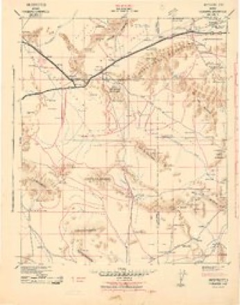
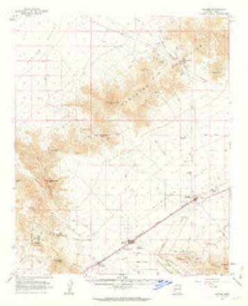
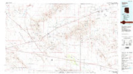
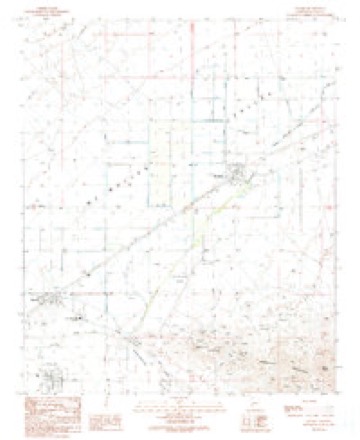
17 topographic sheets cover this place, the earliest surveyed in 1942 and the latest in 1990. It stands in the Parker census division. It lies in ZIP code area 85348. The Survey maps it on the Salome quadrangle. 1,162 people lived here at the 2020 count. It stands 1,873 feet above sea level.
Population over time
3 figuresSalome fell from 1,690 to 1,162 between 2000 and 2020. These are the recorded population figures Wikidata holds for this place, reached through the Geographic Names Information System number this page is keyed on rather than by name, so they belong to this place and not to another of the same name. Most are census counts, but not all are: an early figure may be a founding or settlement estimate, and an estimate published within five years of a census is left out. The change column is computed, and is left blank where more than 20 years separate a figure from the one before it, because a gap that long is not a change between two counts.
| Year | People | Change |
|---|---|---|
| 2000 | 1,690 | |
| 2010 | 1,530 | -160 (-9%) |
| 2020 | 1,162 | -368 (-24%) |
Topographic sheets covering this place
10 surveys from 17 printed sheetsMatched by testing this settlement's coordinate against the published boundary of every sheet in the United States Geological Survey's historical collection. Each opens the scanned sheet at the Survey.
- 1942 USGS Vicksburg quadrangle1:250000
- 1954 USGS Phoenix quadrangle1:250000, 5 printings
- 1957 USGS Phoenix quadrangle1:250000
- 1958 USGS Phoenix quadrangle1:250000
- 1960 USGS Phoenix quadrangle1:250000
- 1961 USGS Salome quadrangle1:62500, 3 printings
- 1969 USGS Phoenix quadrangle1:250000, 2 printings
- 1971 USGS Phoenix quadrangle1:250000
- 1984 USGS Salome quadrangle1:100000
- 1990 USGS Salome quadrangle1:24000






Fires near this place
9 since 1995Regional context, not property-specific evidence. The federal wildfire occurrence database lists 9 fires within 5 miles of Salome between 1995 and 2019, burning about 90 acres in total. 1 started naturally. None was recorded as arson. Distance is straight-line from the map coordinates, so a fire counted here may appear on a neighbouring settlement's page as well.
| Reported cause | Fires |
|---|---|
| Debris and open burning | 4 |
| Missing data/not specified/undetermined | 3 |
| Natural | 1 |
| Equipment and vehicle use | 1 |
The most recent of them, most recent first, with the day each was reported and the service that recorded it.
| Date | Cause | Size | Reported by | Name on the report |
|---|---|---|---|---|
| 5 July 1999 | Debris and open burning | 33 acres | Colorado River District | CENTENNIAL |
| 30 July 1995 | Missing data/not specified/undetermined | 40 acres | Arizona Department of Forestry and Fire Management - State Office | not named |
| 3 July 2014 | Missing data/not specified/undetermined | under an acre | Arizona Department of Forestry and Fire Management - State Office | WENDEN |
| 9 June 2006 | Missing data/not specified/undetermined | 10 acres | Arizona Department of Forestry and Fire Management - State Office | SALOME |
| 16 May 2001 | Debris and open burning | 1.0 acres | Arizona Department of Forestry and Fire Management - State Office | CENTENNIAL |
| 30 April 2002 | Debris and open burning | 5.0 acres | Arizona Department of Forestry and Fire Management - State Office | EARTH WENDEN |
| 10 April 2015 | Debris and open burning | under an acre | Colorado River District | PROSPECT |
| 31 March 1995 | Equipment and vehicle use | under an acre | Arizona Department of Forestry and Fire Management - State Office | not named |
Settlements close enough to share some of these fires:
Mines and quarries near this place
10 of 27 shownRegional context, not property-specific evidence. The federal mineral resources record lists 27 workings within 5 miles of Salome: 14 unknowns, 6 prospects, 5 past producers, 1 occurrence. 1 still produces. What was taken out: Geothermal, Tungsten, Copper, Gold. Distance is straight-line from the map coordinates, so a quarry counted here may appear on a neighbouring settlement's page as well.
| Where | Site | Commodity | Status | Recorded |
|---|---|---|---|---|
| Black Cat | Gold, Silver, Lead | Prospect | ||
| Black Cat and Minnezona Mines | Gold, Lead, Silver, Copper | Plant | ||
| Blue Eagle Et Al Mines | Gold, Silver, Tungsten | Past Producer | ||
| Calcite Mine | Sulfur-Pyrite | Prospect | ||
| Hercules | Gold, Copper, Silver | Unknown | ||
| Hercules Mine | Gold, Silver, Copper, Iron | Past Producer | 1950 | |
| Rio Del Monte Mine | Gold, Copper, Lead, Silver, Zinc | Past Producer | ||
| Calcite Prospect | Copper | Occurrence | Vein | |
| Green Hill Mine | Tungsten, Copper | Past Producer | ||
| Howard Prop | Copper | Unknown |
Storms near this place
20 since 1997Regional context, not property-specific evidence. The National Weather Service names Salome in 20 storm reports between 1997 and 2024: 10 thunderstorm wind, 6 flash flood, 2 hail, 1 heavy rain. No death or injury is recorded in these reports. Each account below is quoted exactly as the forecast office filed it, from the NOAA Storm Events Database, and each date opens the federal record of that event.
| When | Event | Place named | Harm | What the report says |
|---|---|---|---|---|
| August 2006 | Thunderstorm Wind | Salome | $100,000 | Mobile home blown over. |
| November 2019 | Flash Flood | Salome | $30,000 | A powerful Pacific low pressure system developing over the desert southwest interacted with deep moisture to produce widespread rain across the central and east portions of La Paz County during the early morning hours on November 29th. Isolated thunderstorms were embedded within the areas of rain, locally enhancing rain totals. The heavy rain led to some flash flooding that impacted areas around the community of Salome. According to the La Paz County Sheriff's Office, flash flooding caused the road to be washed away at Avenue B in Salome. Estimated time of the flooding was about 0120MST; the time of the impact was based on data from a Maricopa County Flood Control gage that crested at 3.86 feet at 0158MST. Flooding was estimated based on when the action stage was reached at which point there was potential for channel breakouts to begin along Centennial Wash. |
| July 2015 | Thunderstorm Wind | Salome | $15,000 | Isolated strong thunderstorms developed across La Paz county during the afternoon hours on July 5th, and some of them produced strong, damaging microburst winds which affected the town of Salome. According to a trained weather spotter located 1 mile northeast of Salome, wind gusts estimated to be at least 70 mph bent steel support poles for a gas station island roof. In addition, the winds blew out several windows at a nearby Stanford Inn restaurant. Fortunately, no injuries were reported due to the strong winds. |
| August 2006 | Thunderstorm Wind | Salome | $10,000 | Mobile home blown over. |
| September 2022 | Thunderstorm Wind | Salome | $5,000 | Report from trained spotter described window broken from north side of the local post office and roof damage at LNWilliams Engineering and Mining Manufacturing Building. Both of these buildings located along US-60 in the town of Salome. Winds were estimated at around 60 mph. Timing estimated from radar. No injuries were reported. |
| August 2014 | Thunderstorm Wind | Salome | $5,000 | Thunderstorms developed across portions of La Paz county during the late afternoon hours on August 25th, and some of them affected the town of Salome. The stronger storms produced gusty and damaging outflow winds. According to a report from the public, gusty winds estimated to be over 50 mph caused the awning over gas pumps to be blown over at a local market. |
| August 2010 | Flash Flood | Salome | $5,000 | County officials reported that the Centennial and Salome washes were running very heavy between the towns of Wenden and Salome. The strong flow was a result of heavy rain generated from strong thunderstorms in eastern La Paz county. |
| February 2024 | Flood | Salome | - | Salome Road reported closed due to water over roadway. Timing estimated from radar. No damages or injuries were reported. |
| September 2022 | Flash Flood | Salome | - | US-60 near MP 58 in Salome was flooded due to the overflow from Centennial Wash. No damages or injuries were reported. |
| August 2022 | Flash Flood | Salome | - | A video showed a wash flowing across a low water crossing south of Salome on Harquahala Road, making the roadway impassable. No damage or injuries were reported. |
| August 2022 | Flash Flood | Salome | - | Video images from social media showed raging flood waters occurring near Salome Highway just east of US-60. Timing estimated from radar. In addition, the Flood Control District of Maricopa County Gauge located along Centennial Wash in Wenden showed water levels rising above alarm stage at around 1950 MST, peaking at 3.37 feet (1323 cfs) at around 2034 MST and not going below alarm stage until around 2330 MST. The impacted areas from Centennial Wash include Salome Road, which is located about 4.8 miles downstream of the gauge location in Wenden. No damages or injuries were reported. |
| August 2016 | Heavy Rain | Salome | - | Scattered thunderstorms developed across the west central deserts during the late afternoon hours on August 1st and some of the stronger thunderstorms produced locally heavy rain with intense rainfall rates in excess of 2 inches per hour. Some of the heaviest rain affected the Interstate 10 corridor including the town of Salome. At 1723MST a trained weather spotter 2 miles south of Salome measured 1.24 inches of rain which fell within 20 minutes. The heavy rain led to the issuance of an Urban and Small Stream Flood Advisory at 1733MST. |
| August 2014 | Flash Flood | Salome | - | Thunderstorms developed across portions of La Paz county during the late afternoon and evening hours on August 25th, and they affected areas in the vicinity of Salome. The stronger storms produced locally heavy rains that produced flash flooding. At 1939MST, local law enforcement reported that roads 4 miles southeast of Salome were closed due to flooding. The intersection of Old Bell Road and Hess Lane was closed as well. No accidents or injuries were reported due to the flooding. A Flash Flood Warning was in effect for the area around Salome at the time of the flooding. |
| July 2003 | Thunderstorm Wind | Salome | - | Heavy rain accompanied the thunderstorm winds. One-half inch of rain was reported in just 20 minutes. |
| September 2002 | Hail | Salome | - | Watermelon crop damaged. |
| August 2001 | Thunderstorm Wind | Salome | - | Severe thunderstorm wind gusts down trees in town. |
| June 2000 | Thunderstorm Wind | Salome | - | Winds brought down trees and power lines,along with blowing dust and sand. |
| August 1997 | Hail | Salome | - | Golf ball sized hail significantly damaged crops. |
| August 1997 | Thunderstorm Wind | Salome | - | Wind knocked down several power lines. |
| August 1997 | Thunderstorm Wind | Salome | - | Thunderstorms produced damaging winds which knocked down some trees near Salome. |
Nearest settlements
The eight closest, with where each one stands in the county. Distances are straight-line, computed from the Geographic Names Information System coordinates.
Elsewhere
Matched on this settlement's Geographic Names Information System number rather than its name, so it cannot be a different place of the same name in another state.
| Wikipedia article on Salome | An encyclopaedic summary. Its text is share-alike, so it is linked here rather than copied. |
| Wikidata item Q654423 | The structured record the population and elevation above come from. Public domain (CC0). |
Provenance
This settlement is recorded in the Geographic Names Information System as feature 10736. The sheet list is computed by point-in-boundary test against the United States Geological Survey's historical topographic inventory. Both are works of the United States government and carry no copyright under 17 U.S.C. 105.
Wildfire. Short, Karen C. 2022. Spatial wildfire occurrence data for the United States, 1992-2020 [FPA_FOD_20221014]. 6th Edition. Fort Collins, CO: Forest Service Research Data Archive. https://doi.org/10.2737/RDS-2013-0009.6 Collected with United States Government funding and usable without additional permissions or fees.
Mines and quarries. USGS Mineral Resources Data System (MRDS) https://mrdata.usgs.gov/mrds/ A work of the United States government, no copyright under 17 U.S.C. 105.
Storms. NOAA National Centers for Environmental Information, Storm Events Database https://www.ncei.noaa.gov/stormevents/ A work of the United States government, no copyright under 17 U.S.C. 105. Narratives are quoted verbatim from the National Weather Service report and are not edited or summarised.