 Block
Harqua, Arizona
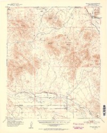
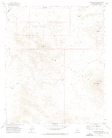
17 topographic sheets cover this place, the earliest surveyed in 1951 and the latest in 1981. It stands in the Buckeye census division. It lies in ZIP code area 85322. The Survey maps it on the Woolsey Peak quadrangle.
Topographic sheets covering this place
9 surveys from 17 printed sheetsMatched by testing this settlement's coordinate against the published boundary of every sheet in the United States Geological Survey's historical collection. Each opens the scanned sheet at the Survey.
- 1951 USGS Woolsey Peak quadrangle1:62500, 3 printings
- 1954 USGS Phoenix quadrangle1:250000, 5 printings
- 1957 USGS Phoenix quadrangle1:250000
- 1958 USGS Phoenix quadrangle1:250000
- 1960 USGS Phoenix quadrangle1:250000
- 1969 USGS Phoenix quadrangle1:250000, 2 printings
- 1971 USGS Phoenix quadrangle1:250000
- 1973 USGS Woolsey Peak quadrangle1:24000
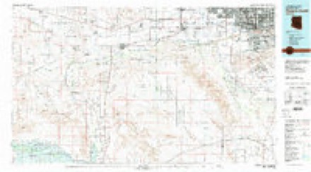
- 1981 USGS Phoenix South quadrangle1:100000, 2 printings






Mines and quarries near this place
4 within 5 milesRegional context, not property-specific evidence. The federal mineral resources record lists 4 workings within 5 miles of Harqua: 2 occurrences, 1 unknown, 1 prospect. None of them still produces. What was taken out: Copper, Gold, Barium-Barite, Fluorine-Fluorite, Gold, Feldspar, Clay. Distance is straight-line from the map coordinates, so a quarry counted here may appear on a neighbouring settlement's page as well.
| Where | Site | Commodity | Status | Recorded |
|---|---|---|---|---|
| Black Butte Group | Gold | Occurrence | ||
| Butte | Copper, Gold, Feldspar, Clay, Fluorine-Fluorite, Magnesite, Silica, Barium-Barite | Unknown | ||
| Butte Mine | Barium-Barite, Fluorine-Fluorite | Occurrence | Vein | |
| Harqua Group | Silver, Gold, Copper | Prospect |
Storms near this place
4 since 2018Regional context, not property-specific evidence. The National Weather Service names Harqua in 4 storm reports between 2018 and 2024: 4 flash flood. No death or injury is recorded in these reports. Each account below is quoted exactly as the forecast office filed it, from the NOAA Storm Events Database, and each date opens the federal record of that event.
| When | Event | Place named | Harm | What the report says |
|---|---|---|---|---|
| July 2024 | Flash Flood | Harqua | - | Water over Agua Caliente Road at 4th of July Wash. Maricopa County Flood Control stream gage located about one mile upstream of road exceeded Alarm Stage. No damages nor injuries were reported. |
| August 2022 | Flash Flood | Harqua | - | The FCDMC streamflow gage along 4th of July Wash exceeded alarm stage, impacting a downstream low water crossing along Agua Caliente Road. The gage peaked at a depth of 0.74 feet. No damage or injuries were reported. |
| November 2019 | Flash Flood | Harqua | - | A powerful Pacific low pressure system moving slowly east across Arizona interacted with deep moisture to produce widespread moderate to heavy rain across western portions of Maricopa County during the morning hours on November 29th. Aided by frontal lift, isolated thunderstorms developed and enhanced rain totals. The heavy rain led to an episode of flash flooding over far west central Maricopa County near the Eagle Tail Mountains. According to a delayed report from the public, flash flooding resulted in Agua Caliente road becoming flooded and impassable where it crosses the Fourth of July Wash. The actual flash flooding occurred about 0207MST and was based off of data from a Maricopa County Flood Control District streamgage which showed the wash cresting at 2.2 feet; estimated travel time of the flood wave resulted in the time of the actual flash flooding. There were no reports of accidents due to the flash flooding. |
| October 2018 | Flash Flood | Harqua | - | Isolated showers and thunderstorms moved across the deserts to the southwest of Phoenix during the early morning hours on October 7th. Some of the stronger storms generated locally heavy rainfall which led to flash flooding down the Fourth of July Wash. Local mesonet data indicated that Agua Caliente Road became flooded and impassable where it crossed the Fourth of July Wash, due to heavy flow in the wash. The flash flooding began at approximately 0250MST and continued into the early morning hours. The location of the flash flooding was about 17 miles to the southwest of the Palo Verde Nuclear Generating Station. The timing and location of the flash flooding was aided by data from a Maricopa County Flood Control District stream gage that showed a crest at 3.57 feet, and a peak flow of 1568 cubic feet per second. A Flash Flood Warning was issued for the area at 0247MST and it remained in effect through 0545MST. |
Nearest settlements
The eight closest, with where each one stands in the county. Distances are straight-line, computed from the Geographic Names Information System coordinates.
Provenance
This settlement is recorded in the Geographic Names Information System as feature 24882. The sheet list is computed by point-in-boundary test against the United States Geological Survey's historical topographic inventory. Both are works of the United States government and carry no copyright under 17 U.S.C. 105.
Mines and quarries. USGS Mineral Resources Data System (MRDS) https://mrdata.usgs.gov/mrds/ A work of the United States government, no copyright under 17 U.S.C. 105.
Storms. NOAA National Centers for Environmental Information, Storm Events Database https://www.ncei.noaa.gov/stormevents/ A work of the United States government, no copyright under 17 U.S.C. 105. Narratives are quoted verbatim from the National Weather Service report and are not edited or summarised.