 Block
BlockMidland, California
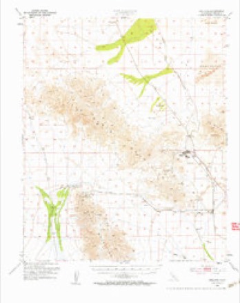
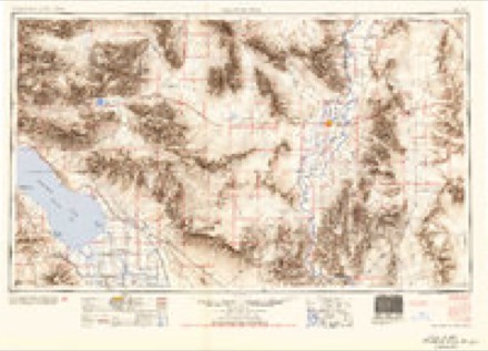
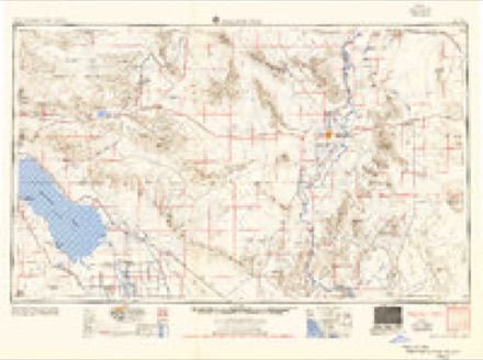
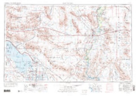
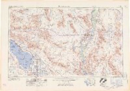
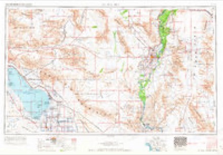
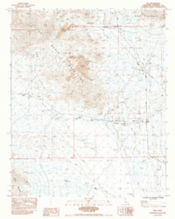
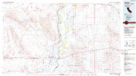
20 topographic sheets cover this place, the earliest surveyed in 1942 and the latest in 1986. It stands in the Chuckwalla Valley census division. The Survey maps it on the Inca quadrangle.
Then and now
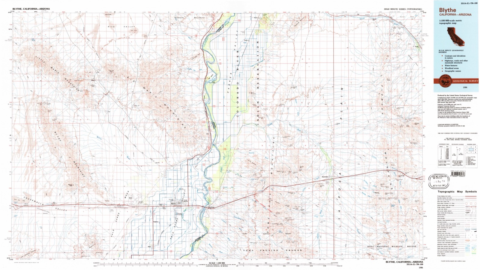
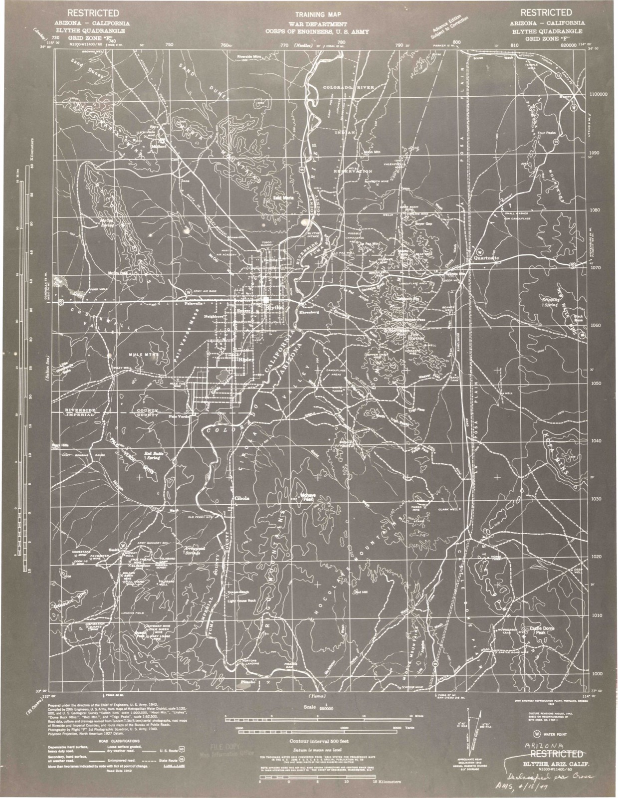
1942 to 1986The same ground, surveyed 44 years apart. Drag the handle to wipe between them. Both sheets are United States Geological Survey originals; neither has been altered.
Topographic sheets covering this place
10 surveys from 20 printed sheetsMatched by testing this settlement's coordinate against the published boundary of every sheet in the United States Geological Survey's historical collection. Each opens the scanned sheet at the Survey.
- 1942 USGS Blythe quadrangle1:250000, 2 printings
- 1945 USGS Midland quadrangle1:62500
- 1952 USGS Midland quadrangle1:62500, 4 printings
- 1954 USGS Salton Sea quadrangle1:250000
- 1955 USGS Salton Sea quadrangle1:250000, 2 printings
- 1959 USGS Salton Sea quadrangle1:250000, 4 printings
- 1963 USGS Salton Sea quadrangle1:250000
- 1965 USGS Salton Sea quadrangle1:250000
- 1983 USGS Inca quadrangle1:24000
- 1986 USGS Blythe quadrangle1:100000, 3 printings
Mines and quarries near this place
10 of 33 shownRegional context, not property-specific evidence. The federal mineral resources record lists 33 workings within 5 miles of Midland: 11 past producers, 8 occurrences, 6 unknowns, 5 producers. 5 still produce. What was taken out: Manganese, Limestone, General, Gypsum-Anhydrite, Fluorine-Fluorite. Distance is straight-line from the map coordinates, so a quarry counted here may appear on a neighbouring settlement's page as well.
| Where | Site | Commodity | Status | Recorded |
|---|---|---|---|---|
| Allen Placers | Gold | Unknown | ||
| Bald Eagle Mine | Lead, Copper, Zinc, Silver, Gold | Past Producer | ||
| Brown Mine | Lead, Copper, Gold, Silver, Zinc | Prospect | ||
| Crescent Copper Group | Copper, Silver, Gold | Past Producer | Vein | |
| Langdon Mine | Iron, Manganese | Past Producer | 1917, 1918 | |
| Mountain King | Copper, Gold, Silver | Occurrence | Vein | |
| Red Ocher Deposit | Iron, Tungsten | Unknown | ||
| Shane Nos. 1-5 | Limestone, General, Dolomite | Unknown | ||
| Desert Sunset | Stone, Dimension | Past Producer | ||
| Figueroa Quarry | Stone, Dimension | Producer |
Storms near this place
1 since 2019Regional context, not property-specific evidence. The National Weather Service names Midland in 1 storm report in 2019: 1 flash flood. No death or injury is recorded in these reports. Each account below is quoted exactly as the forecast office filed it, from the NOAA Storm Events Database, and each date opens the federal record of that event.
| When | Event | Place named | Harm | What the report says |
|---|---|---|---|---|
| July 2019 | Flash Flood | Midland | $2,000 | Isolated to scattered monsoon thunderstorms developed across portions of eastern Riverside county during the afternoon hours on July 25th. The stronger storms generated heavy rain with peak rain rates in excess of one inch per hour. The heavy rain was sufficient to produce an episode of flash flooding across the far north portion of the County. According to the California Highway Patrol, at 1626PST flash flooding resulted in a long stretch of highway 62 being closed to the east of Joshua Tree National Park. The flash flooding occurred about 22 miles to the northeast of Eagle Mountain. A Flash Flood Warning had been issued at 1540PST and was in effect at the time of the flooding. No reports of accidents or injuries were received. |
Nearest settlements
The eight closest, with where each one stands in the county. Distances are straight-line, computed from the Geographic Names Information System coordinates.
| Map | Place | Distance | Sheets |
|---|---|---|---|
| Styx | 1.2 miles | 20 | |
| Cox | 2.2 miles | 20 | |
| Inca | 4.6 miles | 20 | |
| Mesaville | 14.1 miles | 20 | |
| Tosco (historical) | 15.7 miles | 18 | |
| Mesa Verde | 18.0 miles | 17 | |
| Blythe | 20.5 miles | 21 | |
| East Blythe | 21.1 miles | 21 |
Elsewhere
Matched on this settlement's Geographic Names Information System number rather than its name, so it cannot be a different place of the same name in another state.
| Wikipedia article on Midland | An encyclopaedic summary. Its text is share-alike, so it is linked here rather than copied. |
| Wikidata item Q6842292 | The structured record the population and elevation above come from. Public domain (CC0). |
Provenance
This settlement is recorded in the Geographic Names Information System as feature 1661023. The sheet list is computed by point-in-boundary test against the United States Geological Survey's historical topographic inventory. Both are works of the United States government and carry no copyright under 17 U.S.C. 105.
Mines and quarries. USGS Mineral Resources Data System (MRDS) https://mrdata.usgs.gov/mrds/ A work of the United States government, no copyright under 17 U.S.C. 105.
Storms. NOAA National Centers for Environmental Information, Storm Events Database https://www.ncei.noaa.gov/stormevents/ A work of the United States government, no copyright under 17 U.S.C. 105. Narratives are quoted verbatim from the National Weather Service report and are not edited or summarised.