 Block
BlockStyx, California
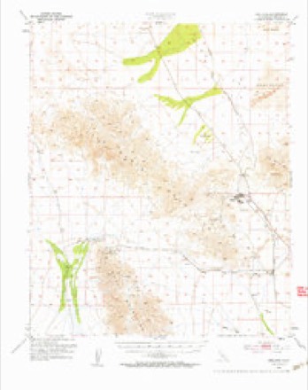
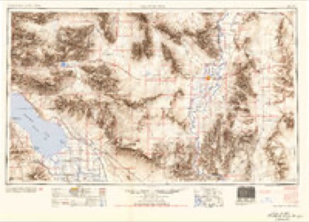
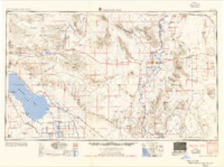
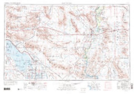
20 topographic sheets cover this place, the earliest surveyed in 1942 and the latest in 1986. It stands in the Chuckwalla Valley census division. The Survey maps it on the Styx quadrangle.
Then and now
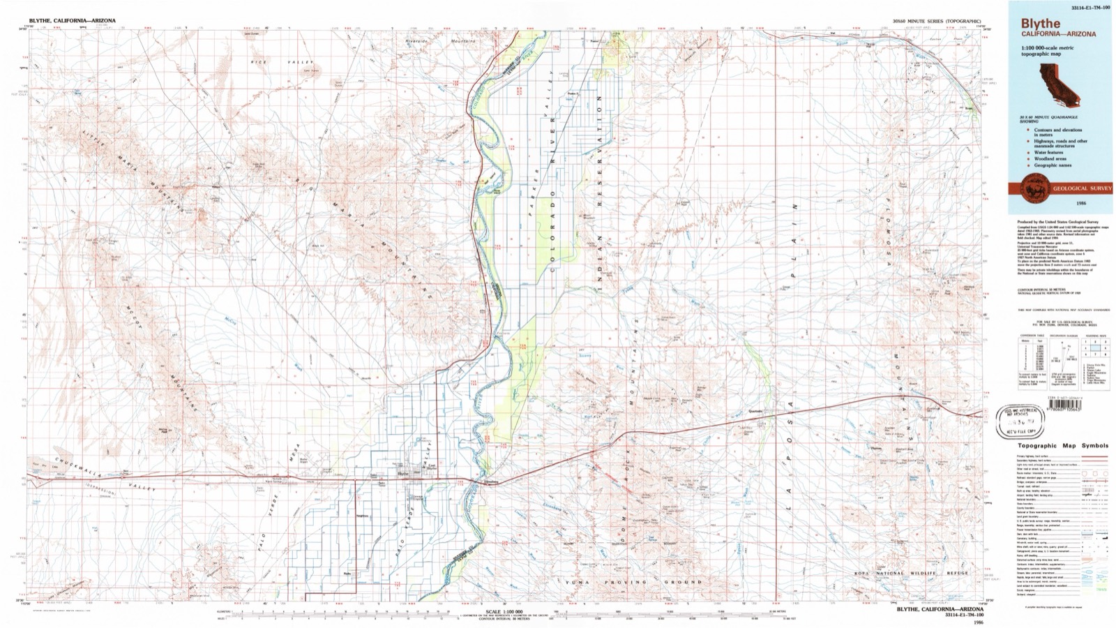
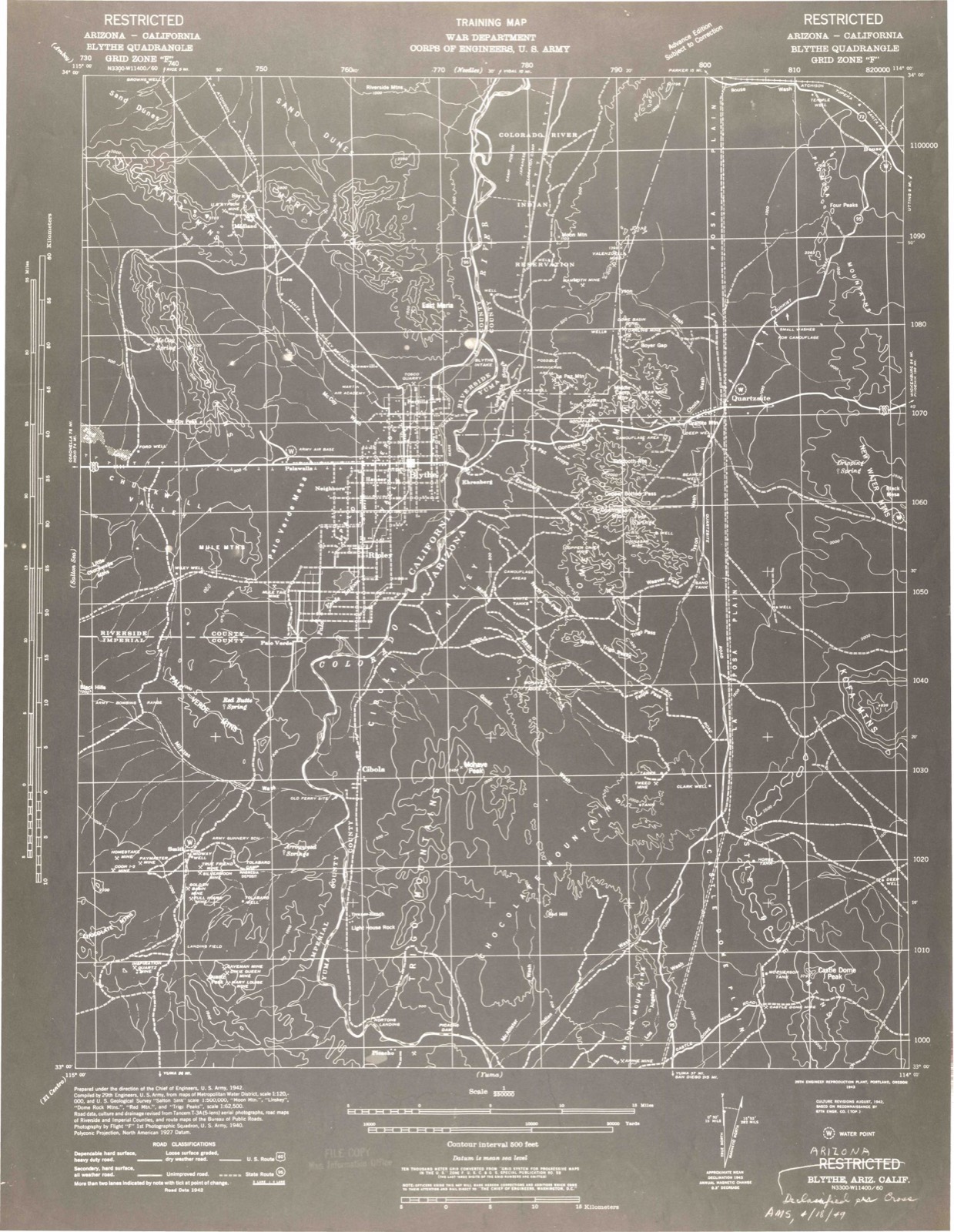
1942 to 1986The same ground, surveyed 44 years apart. Drag the handle to wipe between them. Both sheets are United States Geological Survey originals; neither has been altered.
Topographic sheets covering this place
10 surveys from 20 printed sheetsMatched by testing this settlement's coordinate against the published boundary of every sheet in the United States Geological Survey's historical collection. Each opens the scanned sheet at the Survey.
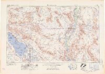
- 1942 USGS Blythe quadrangle1:250000, 2 printings
- 1945 USGS Midland quadrangle1:62500
- 1952 USGS Midland quadrangle1:62500, 4 printings
- 1954 USGS Salton Sea quadrangle1:250000
- 1955 USGS Salton Sea quadrangle1:250000, 2 printings
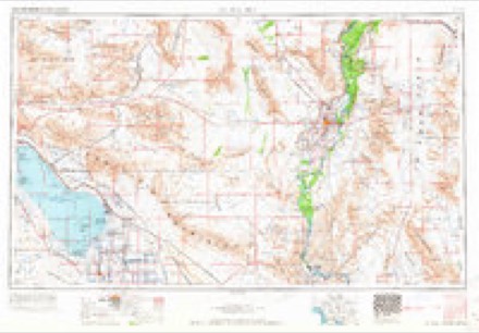
- 1959 USGS Salton Sea quadrangle1:250000, 4 printings
- 1963 USGS Salton Sea quadrangle1:250000
- 1965 USGS Salton Sea quadrangle1:250000
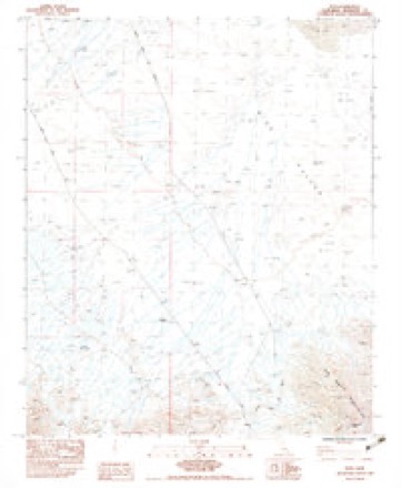
- 1983 USGS Styx quadrangle1:24000
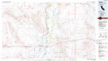
- 1986 USGS Blythe quadrangle1:100000, 3 printings
Mines and quarries near this place
10 of 35 shownRegional context, not property-specific evidence. The federal mineral resources record lists 35 workings within 5 miles of Styx: 11 past producers, 9 occurrences, 7 unknowns, 5 producers. 5 still produce. What was taken out: Manganese, Limestone, General, Gypsum-Anhydrite, Fluorine-Fluorite. Distance is straight-line from the map coordinates, so a quarry counted here may appear on a neighbouring settlement's page as well.
| Where | Site | Commodity | Status | Recorded |
|---|---|---|---|---|
| Allen Placers | Gold | Unknown | ||
| Bald Eagle Mine | Lead, Copper, Zinc, Silver, Gold | Past Producer | ||
| Brown Mine | Lead, Copper, Gold, Silver, Zinc | Prospect | ||
| Crescent Copper Group | Copper, Silver, Gold | Past Producer | Vein | |
| Langdon Mine | Iron, Manganese | Past Producer | 1917, 1918 | |
| Neal Group | Lead, Silver, Copper | Occurrence | Underground | |
| Red Ocher Deposit | Iron, Tungsten | Unknown | ||
| Big Horn Group | Copper | Occurrence | Vein | |
| Bonnie Limestone | Limestone, General, Dolomite | Unknown | ||
| Desert Sunset | Stone, Dimension | Past Producer |
Storms near this place
4 since 2015Regional context, not property-specific evidence. The National Weather Service names Styx in 4 storm reports between 2015 and 2019: 2 flash flood, 1 flood, 1 thunderstorm wind. No death or injury is recorded in these reports. Each account below is quoted exactly as the forecast office filed it, from the NOAA Storm Events Database, and each date opens the federal record of that event.
| When | Event | Place named | Harm | What the report says |
|---|---|---|---|---|
| January 2015 | Flood | Styx | $25,000 | A vigorous Pacific low pressure system spread copious moisture northward and into far southeast California during the morning hours on January 30th. This resulted in widespread showers and isolated thunderstorms across eastern Riverside county. Rainfall was locally heavy at times and as a result, flooding occurred just west of the lower Colorado River valley, between Parker and Blythe. According to local law enforcement, at 0930PST flooding resulted in rock debris across Highway 95 and this forced the closure of the highway at Agnes Wilson Road, approximately 7 miles northwest of Poston. No accidents or injuries were reported due to the flooding. |
| September 2019 | Flash Flood | Styx | $2,000 | Monsoon thunderstorms developed across far eastern Riverside County during the evening hours on September 1st and some of the stronger storms generated locally heavy rainfall with peak rain rates in excess of one inch per hour. The heavy rain led to some flash flooding, affecting the lower Colorado River Valley and Highway 95 north of the town of Blythe. According to the Department of Highways, or Caltrans, at 2139PST flash flooding 15 miles east of Midland resulted in the closure of Highway 95 at Wind River Road. No accidents were reported due to the flooding. A Flash Flood Warning was issued shortly thereafter, at 2210PST. |
| September 2019 | Thunderstorm Wind | Styx | - | Monsoon thunderstorms developed across the far northeast portion of Riverside County during the evening hours on September 1st and one of the stronger storms produced very gusty outflow winds. A wind gust to 58 mph was recorded by the RAWS station RVYC1 in Rice Valley located to the south of Highway 62. No reports of damage were received. |
| November 2019 | Flash Flood | Styx | - | A large area of low pressure developing across the desert southwest combined with elevated moisture to produce widespread showers and thunderstorms across portions of eastern Riverside County during the late evening hours on November 19th. The resulting heavy rain led to an episode of flash flooding along Highway 62 about 15 miles to the north of the town of Midland. According to a report from the California Highway Patrol, roadway flooding due to running washes occurred at Mile Marker 110 along State Route 62. The report was received via Twitter, at about 2252PST. No accidents were reported due to the flash flooding. |
Nearest settlements
The eight closest, with where each one stands in the county. Distances are straight-line, computed from the Geographic Names Information System coordinates.
| Map | Place | Distance | Sheets |
|---|---|---|---|
| Midland | 1.2 miles | 20 | |
| Cox | 3.0 miles | 20 | |
| Inca | 5.5 miles | 20 | |
| Mesaville | 14.8 miles | 20 | |
| Tosco (historical) | 16.4 miles | 18 | |
| Mesa Verde | 19.1 miles | 17 | |
| Blythe | 21.3 miles | 21 | |
| East Blythe | 21.9 miles | 21 |
Elsewhere
Matched on this settlement's Geographic Names Information System number rather than its name, so it cannot be a different place of the same name in another state.
| Wikipedia article on Styx | An encyclopaedic summary. Its text is share-alike, so it is linked here rather than copied. |
| Wikidata item Q134429086 | The structured record the population and elevation above come from. Public domain (CC0). |
Provenance
This settlement is recorded in the Geographic Names Information System as feature 252988. The sheet list is computed by point-in-boundary test against the United States Geological Survey's historical topographic inventory. Both are works of the United States government and carry no copyright under 17 U.S.C. 105.
Mines and quarries. USGS Mineral Resources Data System (MRDS) https://mrdata.usgs.gov/mrds/ A work of the United States government, no copyright under 17 U.S.C. 105.
Storms. NOAA National Centers for Environmental Information, Storm Events Database https://www.ncei.noaa.gov/stormevents/ A work of the United States government, no copyright under 17 U.S.C. 105. Narratives are quoted verbatim from the National Weather Service report and are not edited or summarised.