50 topographic sheets and 28 fire insurance
atlases across 5 places.
Research this county
This curated hub for Henry County, Ohio brings together the page's documented record links, visible map or image evidence where published, and routes to related local records.
Use the page's provenance and linked records to distinguish the source material from the site's navigation and summaries.
How should I cite it?
Open the original record, preserve its repository and identifier, then use the citation tool for this page as a path back to the source.
Where should I go next?
Follow the county or state hub for related places and records, then use the guide for a source-aware research sequence.
From the record
4 National Register listings · 24 businesses named in the fire insurance atlases from 1893 to 1916 · the 1907 county history tells 0 stories and names 0 people.
Ohio within the United StatesHenry County within Ohio
Explore by year
What the record shows
5 places in this county were surveyed for fire insurance: Deshler, Napoleon, Holgate, Hamler, Liberty Center, between 1884 and 1941.
28 fire insurance atlas(es) survive for the county. Topographic coverage is national; fire insurance survey reached only incorporated places with something worth insuring.
349 topographic sheet readings cover the county's settlements.
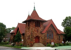
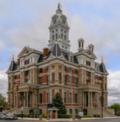
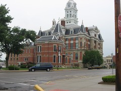
4 properties here are on the National Register of Historic Places, including 1 house and farms.
1 of the 4 listings were added during the 1970s.
The Geographic Names Information System records 30 populated places in this county; 0 are covered by at least one topographic sheet.
2 public-domain county histories, 1853 and 1907, supply 52,296 words of narrative reproduced here in full.
Places on the National Register
4
Every property in this county listed on the
National Register of Historic Places, with the year it was listed and the
federal nomination document.
Henry County holds 0 covered bridges on
the National Register, more than any other property type here. Each is a listed
structure with a federal nomination on file.
Photographs from libraries nationwide
2 shown
Selected from the Digital Public Library
of America's 2 image records catalogued for this county. Every
one shown here carries a public-domain status or a licence that permits
reuse on a site that carries advertising; non-commercial, share-alike
and restricted images are excluded. The selection is spread across the
county's towns (at most eight per town), so no single institution's
bulk upload crowds out the rest. Each opens the holding library's
record, and
the complete set at the
Digital Public Library of America is one click away.
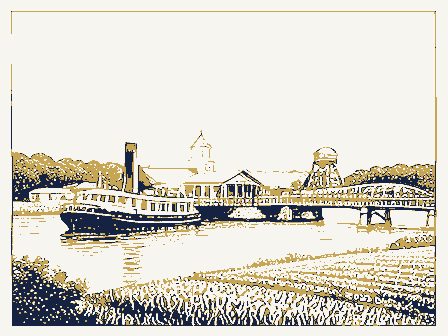
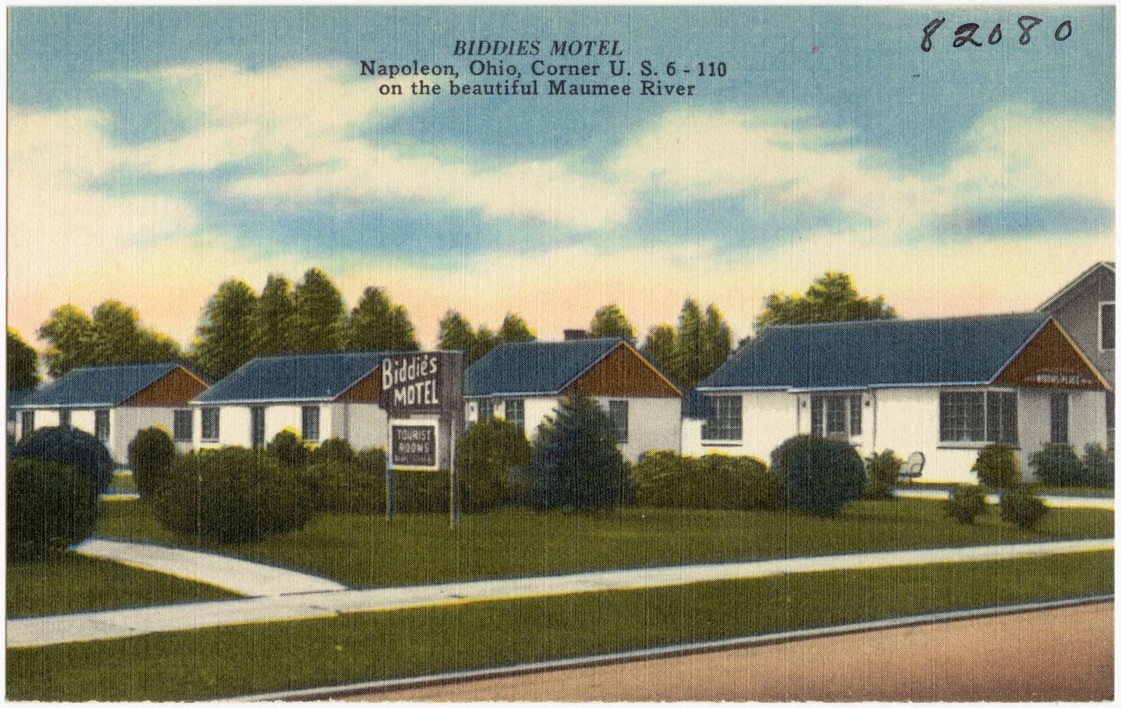
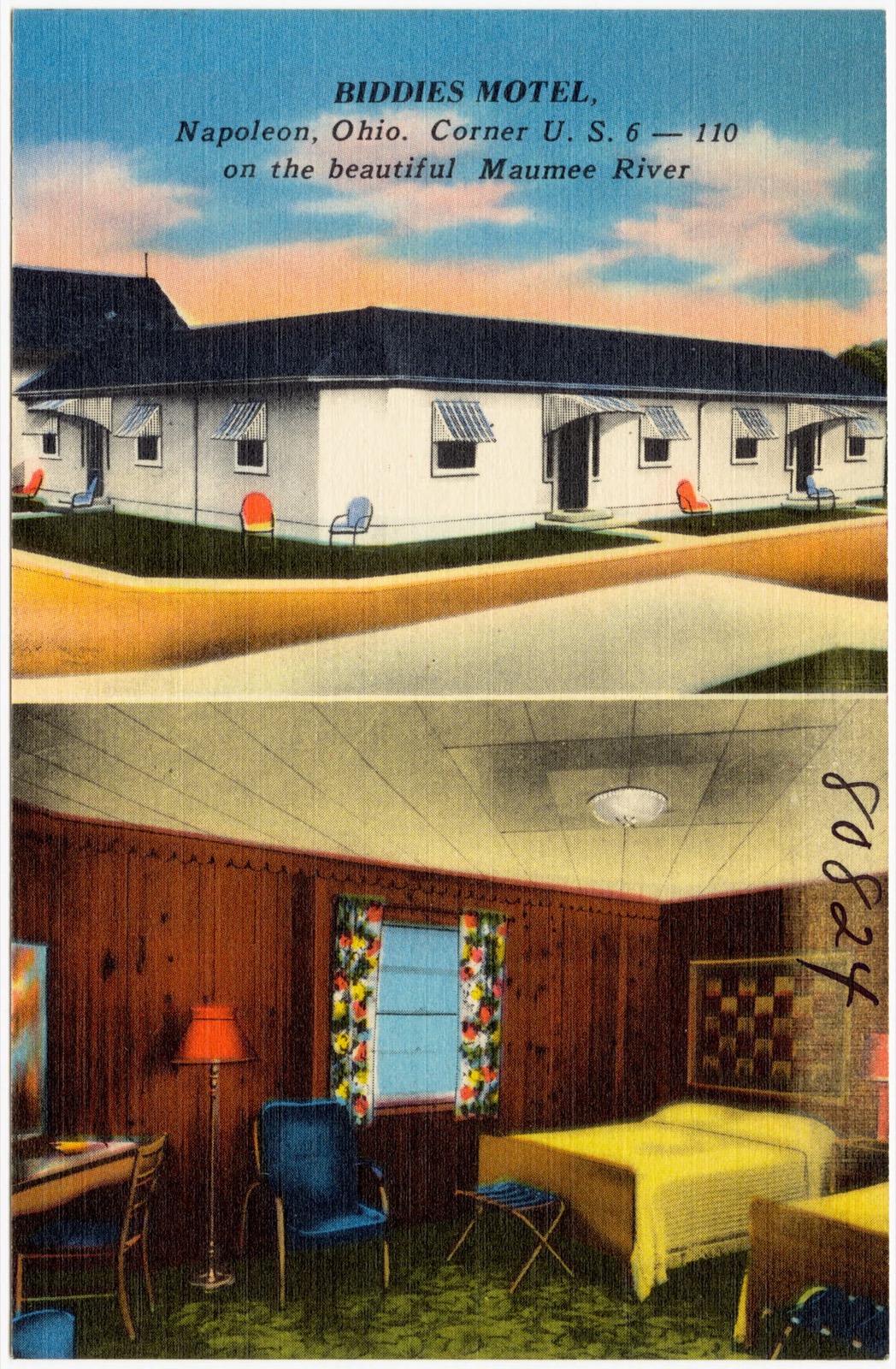
Biddies Motel, Napoleon, Ohio, corner U.S. 6 -- 110 on the beautiful Maumee River. Boston Public Library, via the Digital Public Library of America.Biddies Motel, Napoleon, Ohio. Corner U.S. 6 -- 110 on the beautiful Maumee River. Boston Public Library, via the Digital Public Library of America.
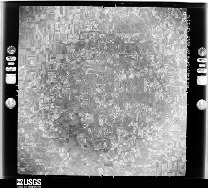
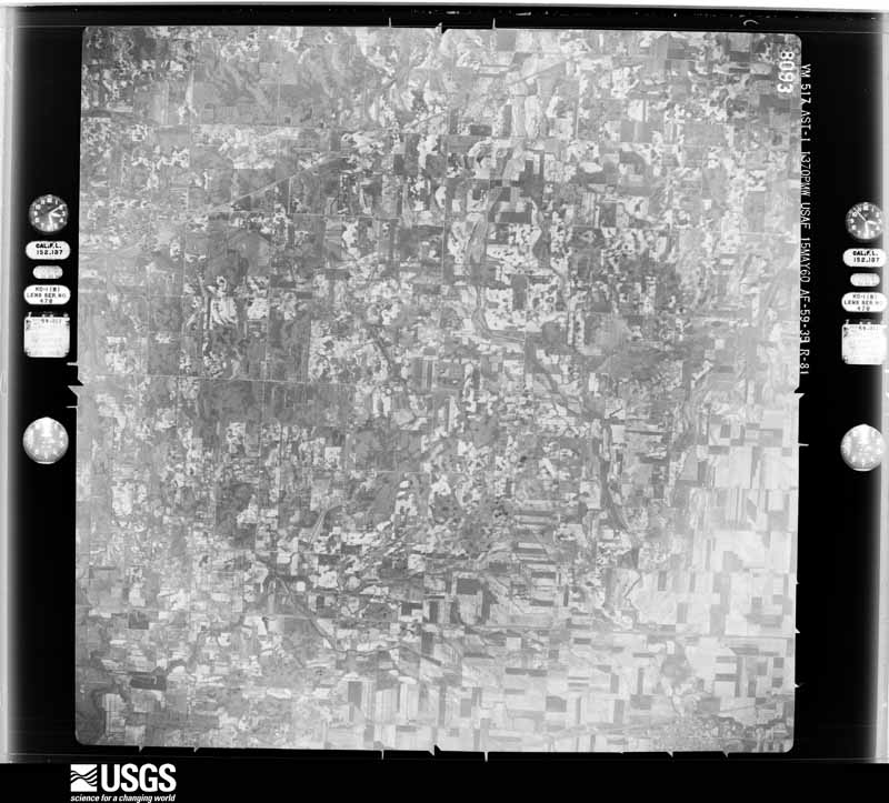
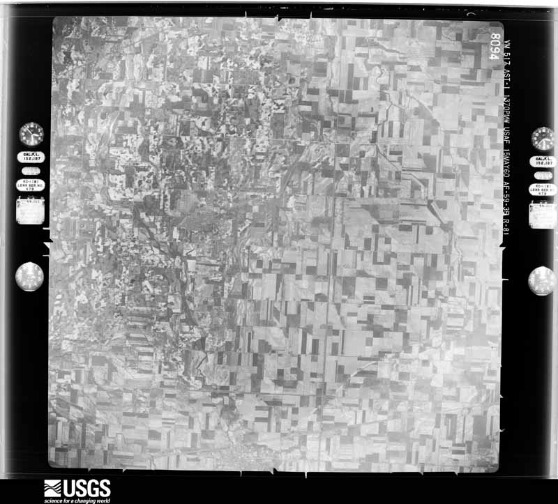
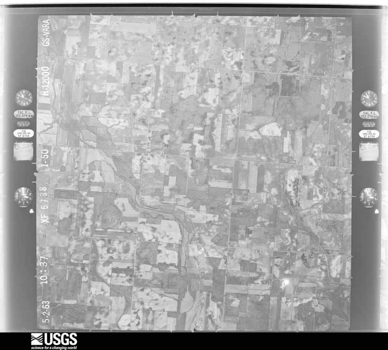
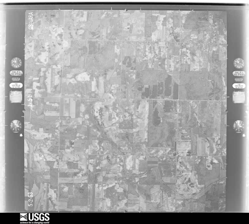
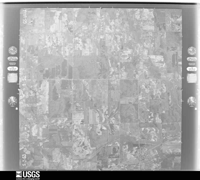
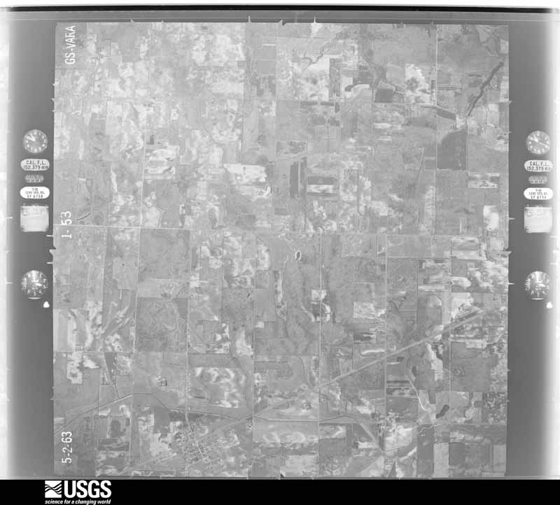
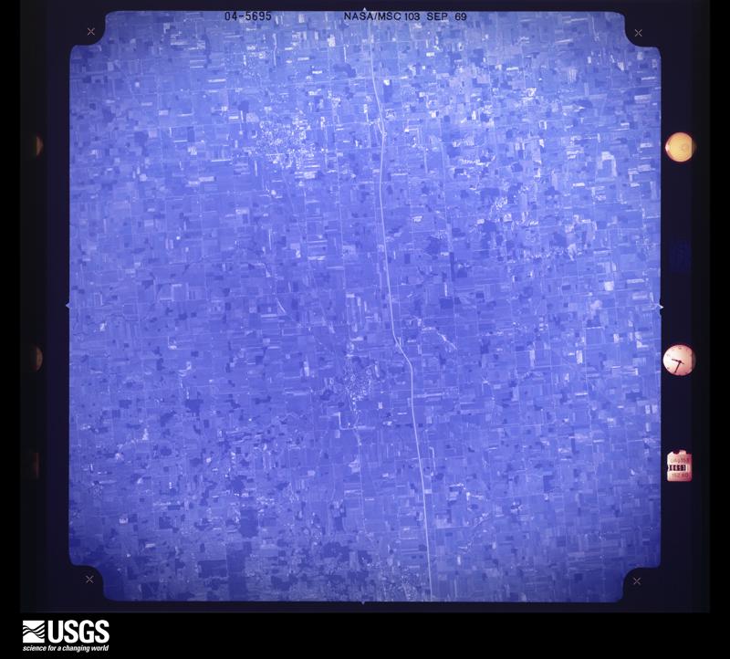
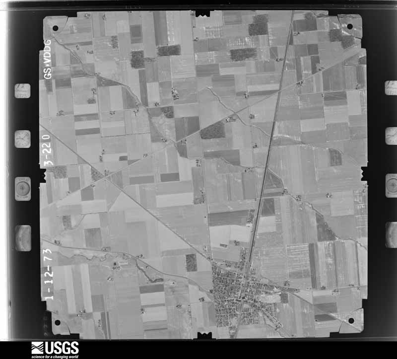
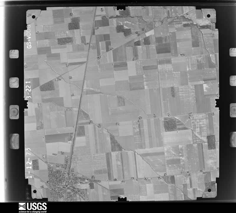
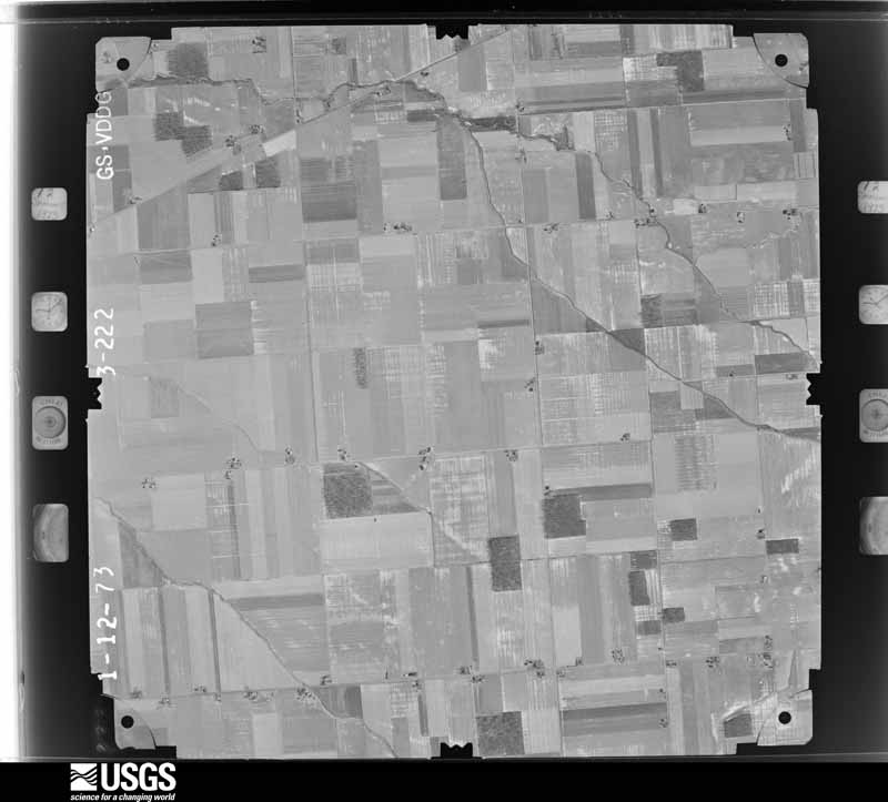
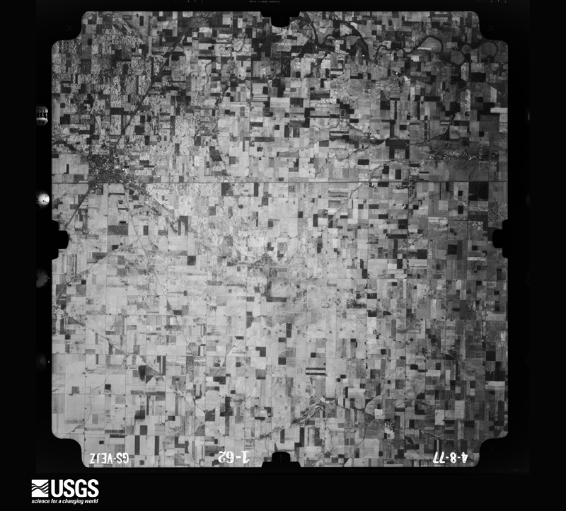
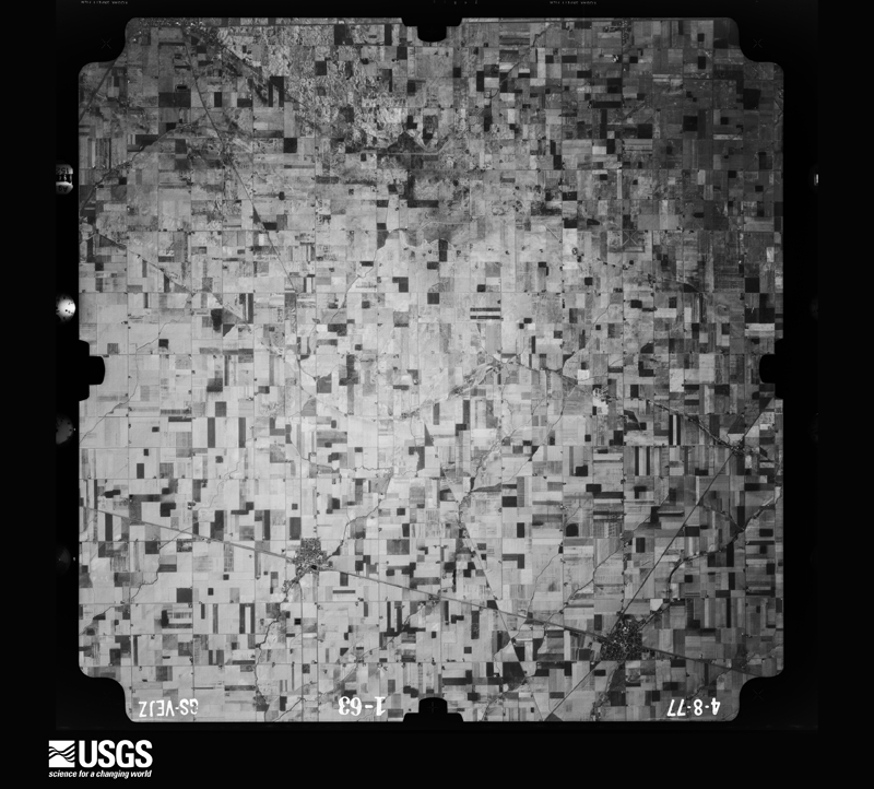
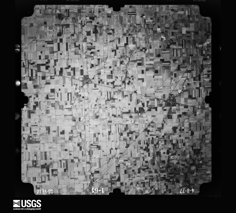
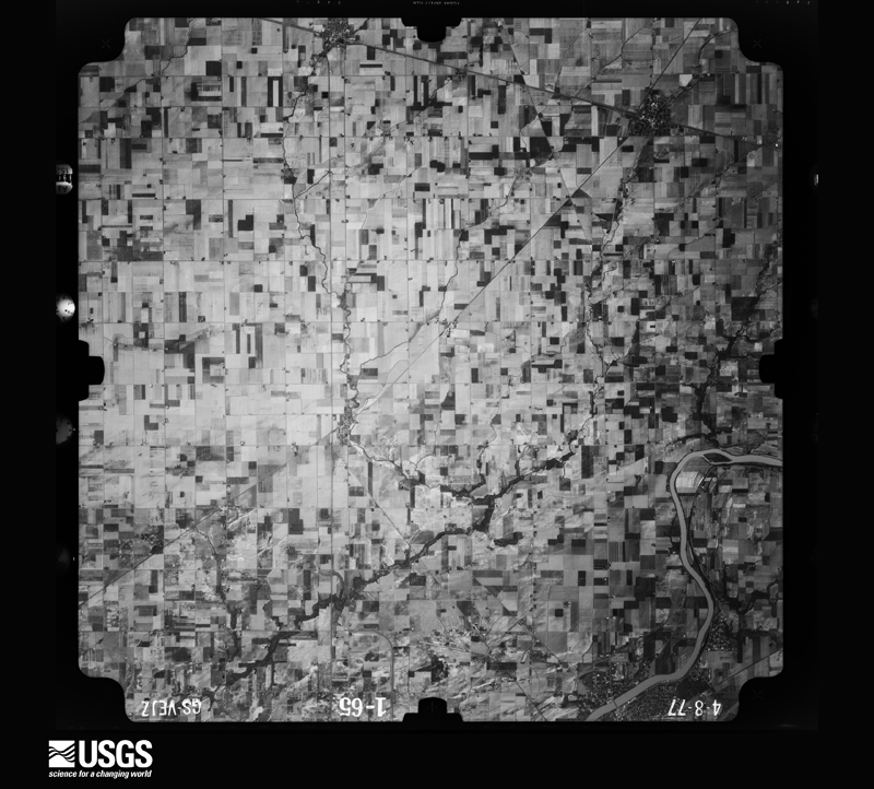
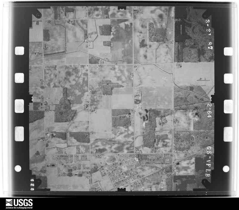
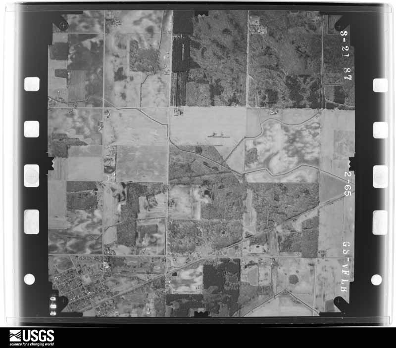
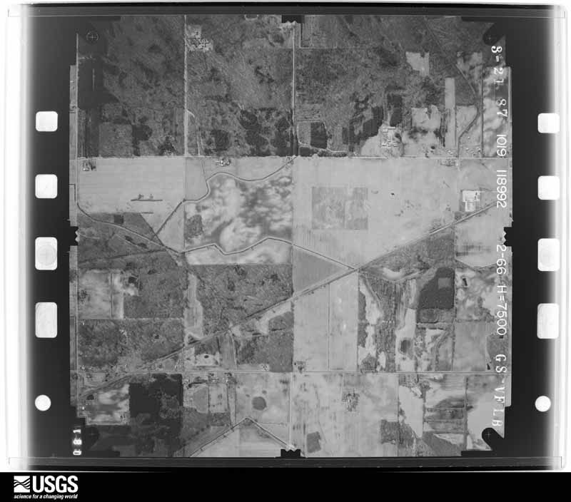
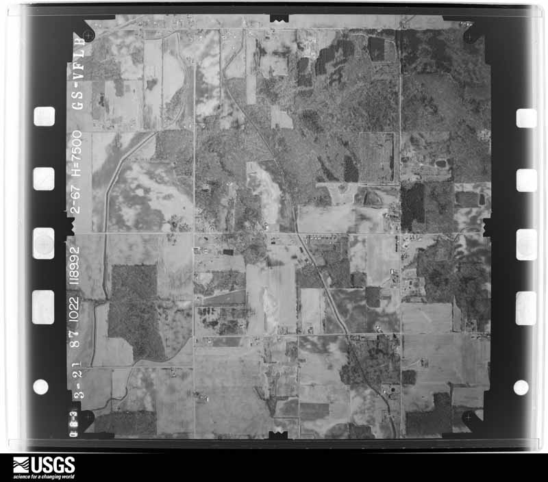
The county from the air
44 of 714 shown
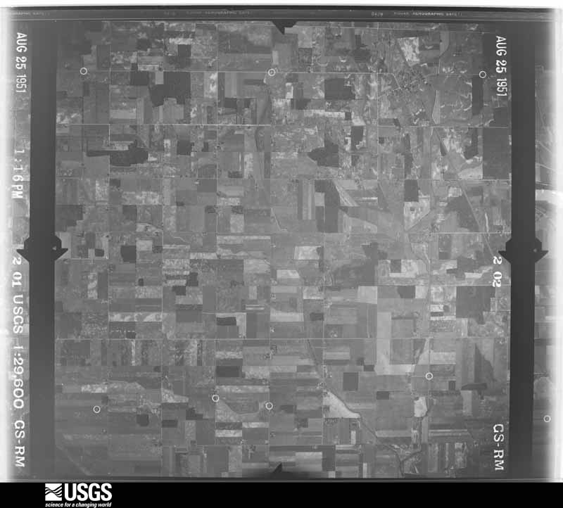
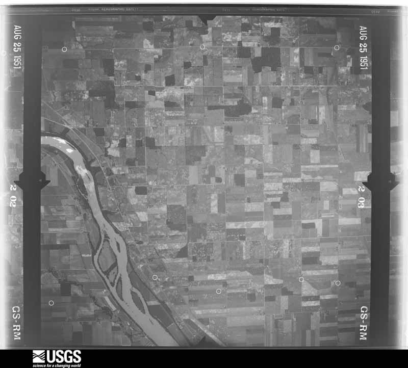
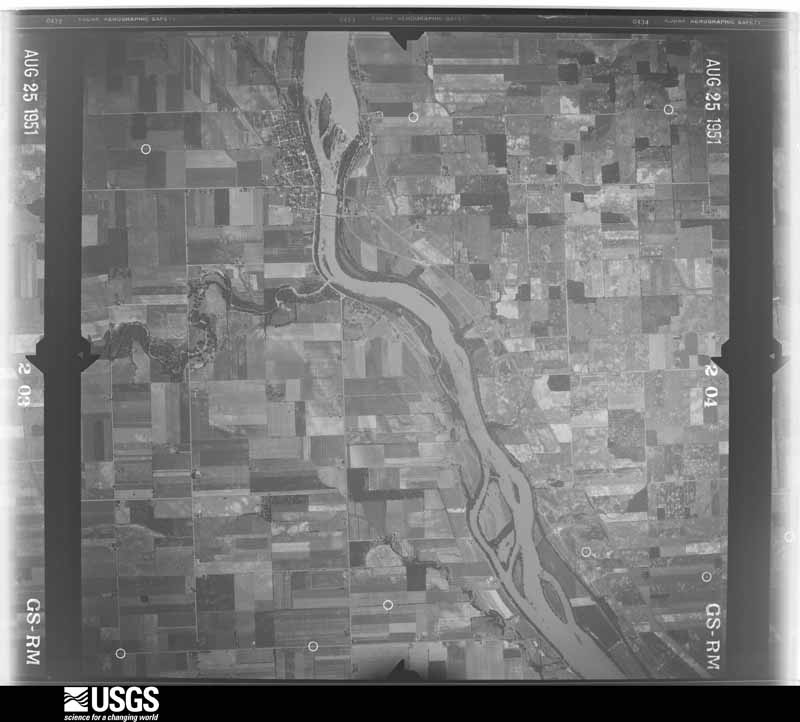
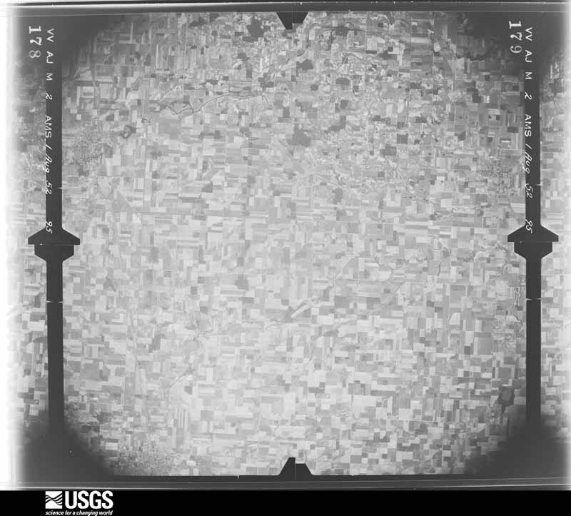
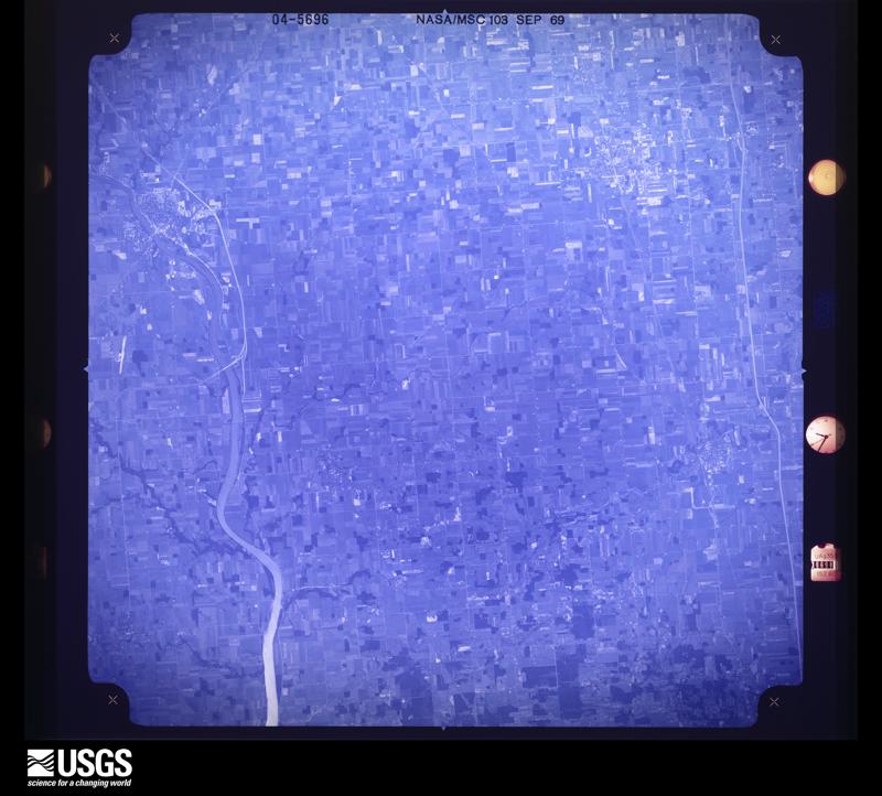
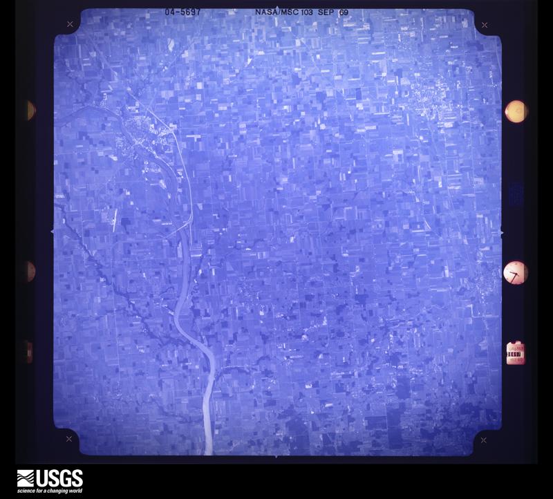
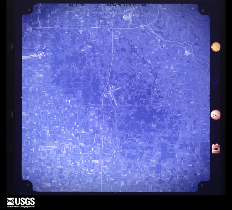
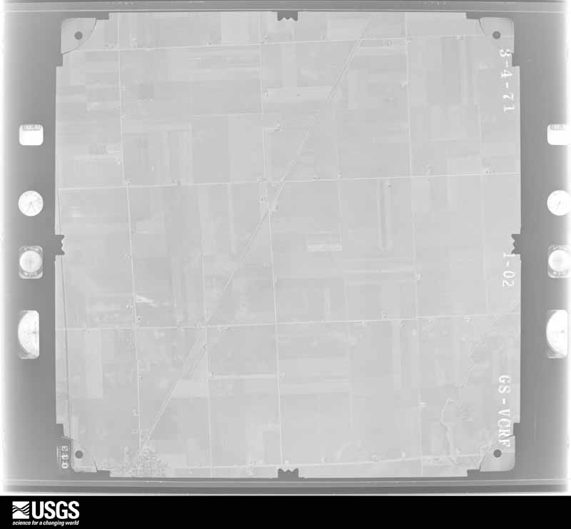
Flown by the U.S. Geological Survey
between 1937 and 1989, the Aerial Photo Single Frames collection is
the definitive mid-century view of the land: fields, roads and rivers
as the camera saw them. 714 frames touch this county; the
selection below spreads across the decades of flights (at most four
per year), so one flight cannot crowd out the rest. The full set is
free to browse and download at
EarthExplorer under the dataset Aerial Photo Single
Frames.
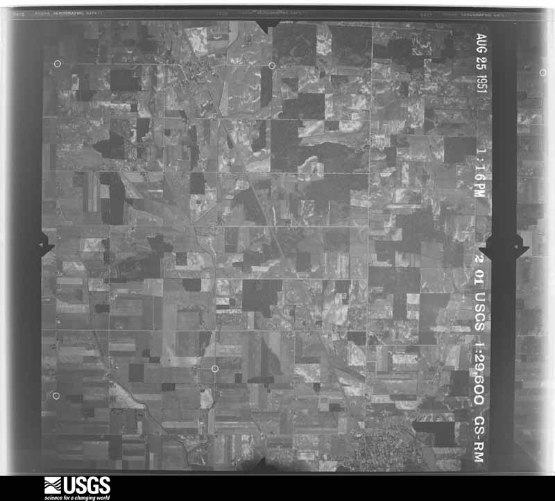
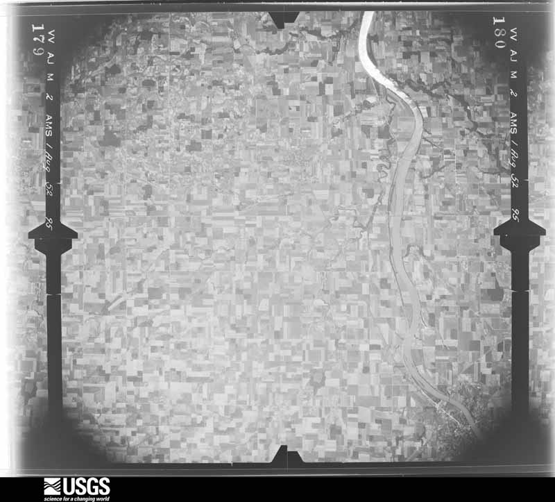
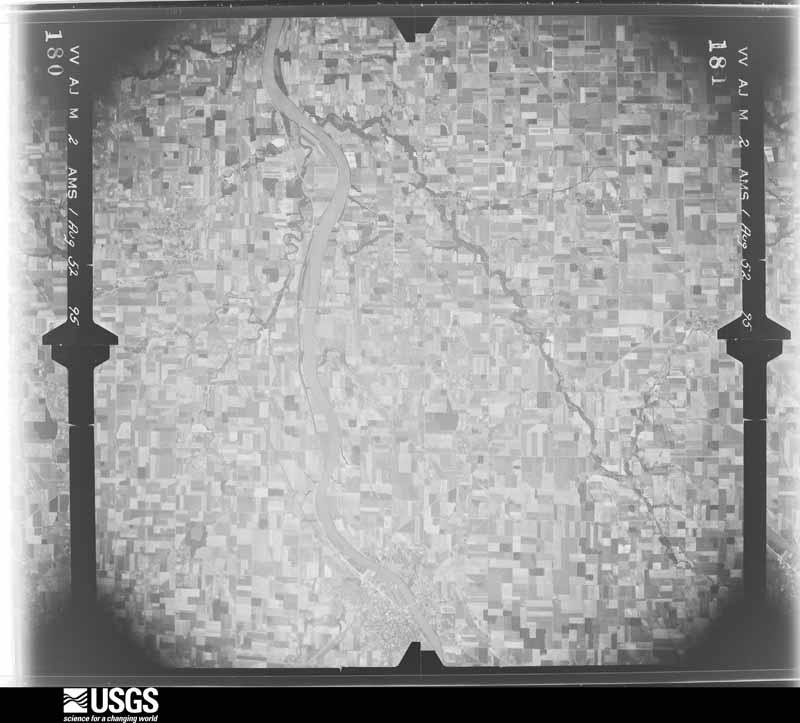
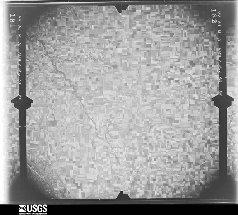
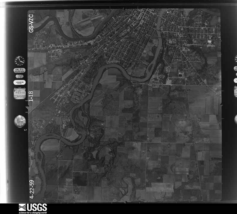
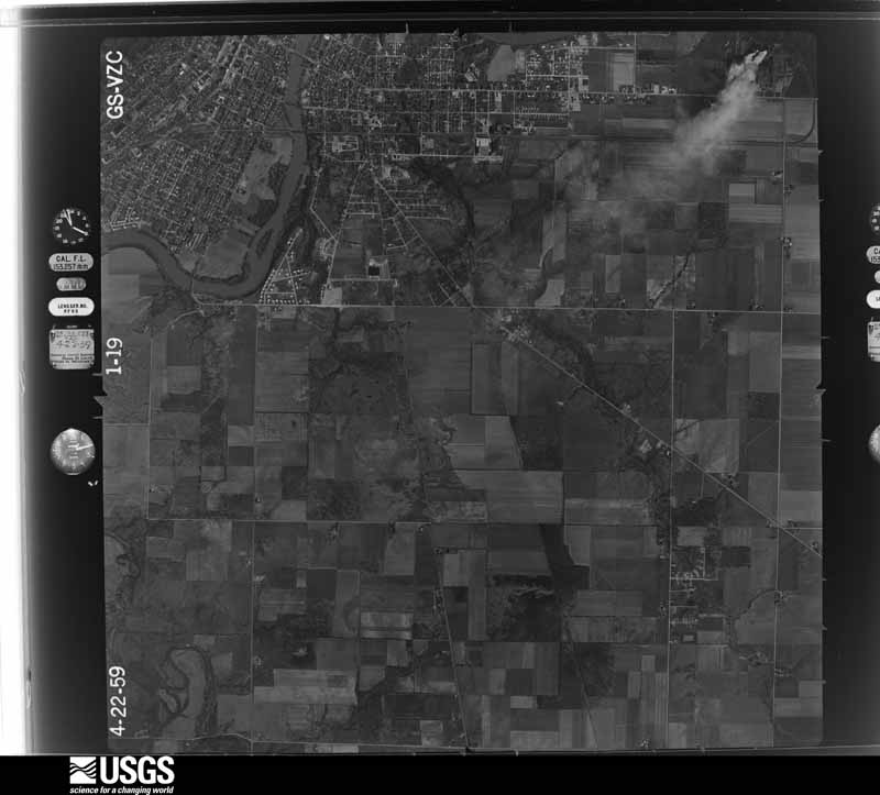
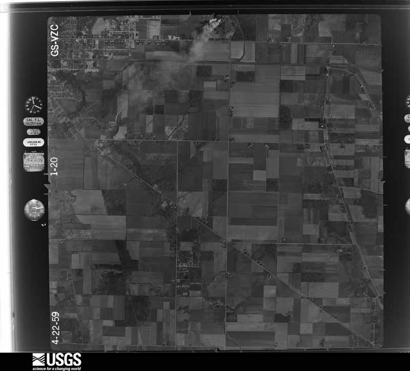
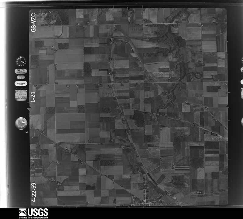
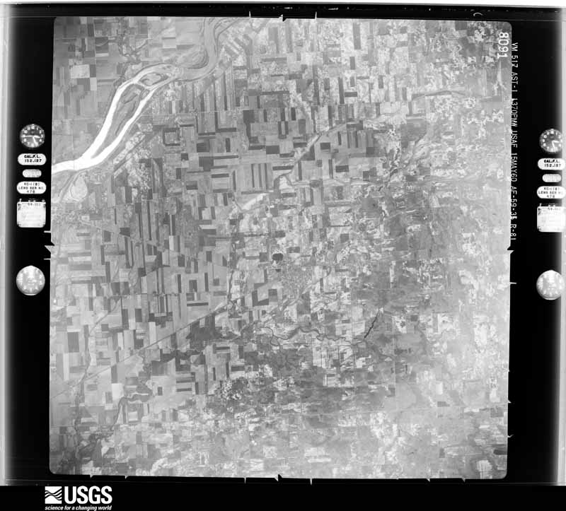
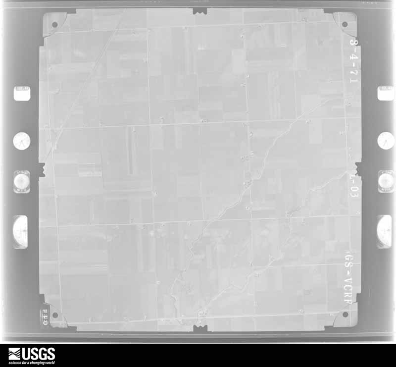
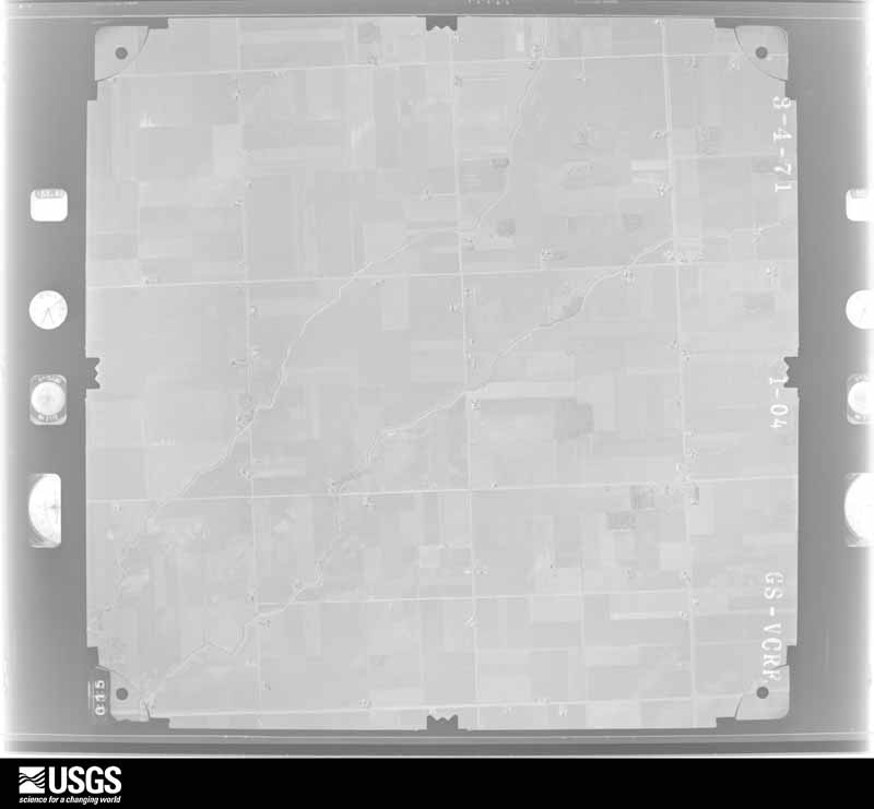
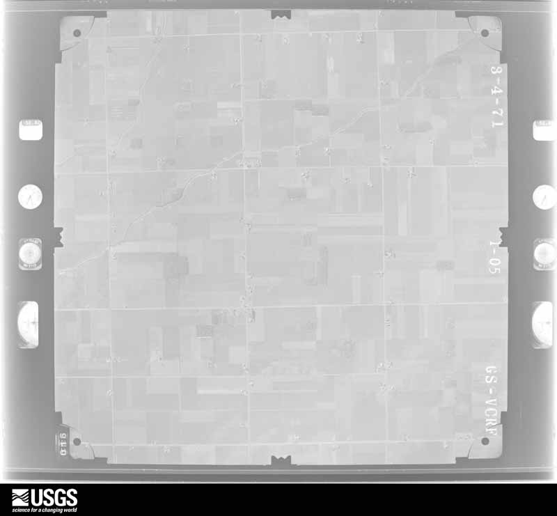
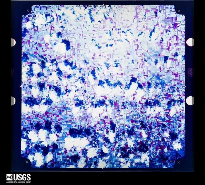
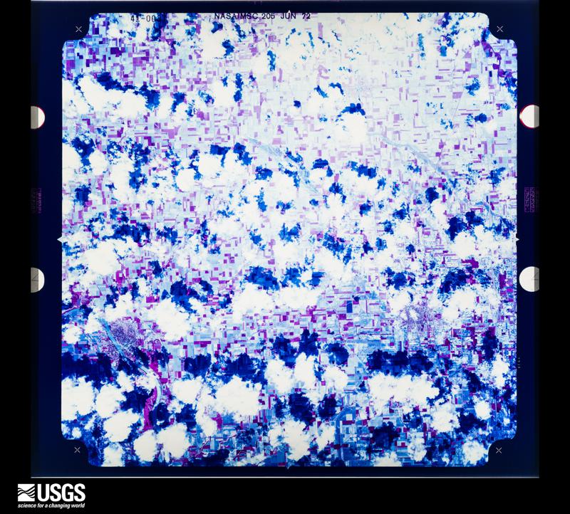
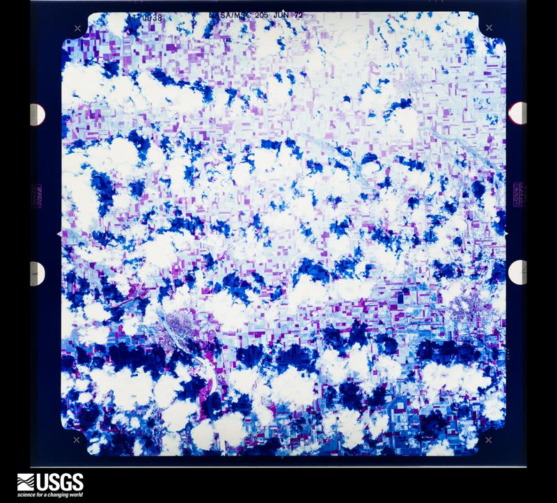
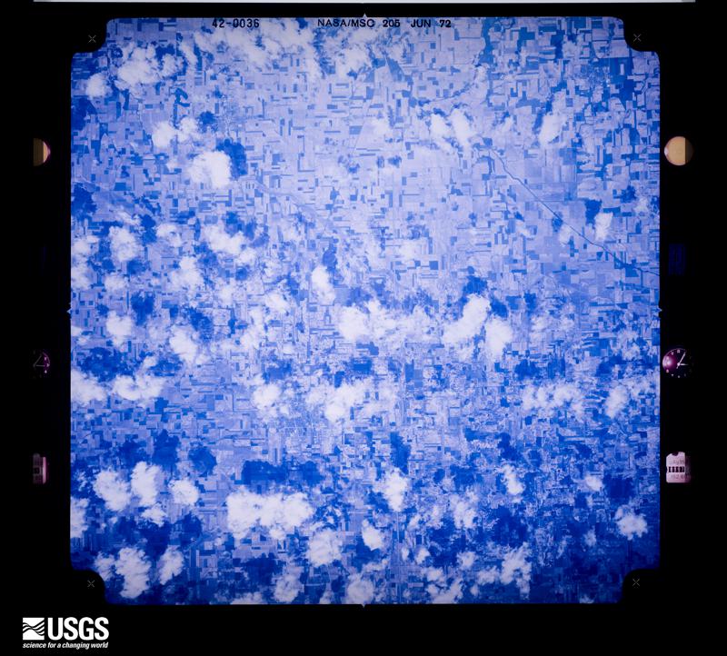
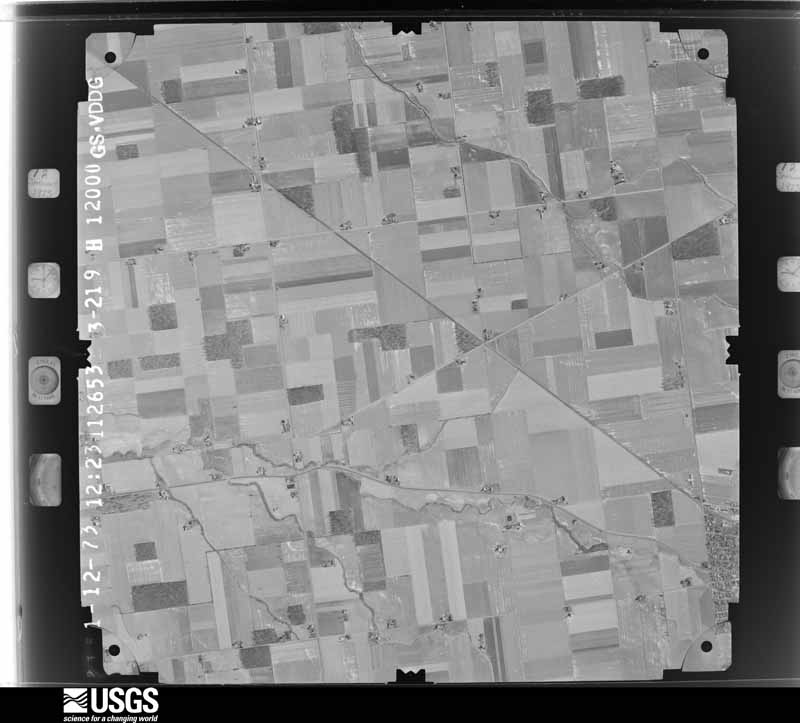
1951-10-01, scale 1:29600. U.S. Geological Survey aerial photograph.1951-10-01, scale 1:29600. U.S. Geological Survey aerial photograph.1951-10-01, scale 1:29600. U.S. Geological Survey aerial photograph.1951-10-01, scale 1:29600. U.S. Geological Survey aerial photograph.1952-08-01, scale 1:69000. U.S. Geological Survey aerial photograph.1952-08-01, scale 1:69000. U.S. Geological Survey aerial photograph.1952-08-01, scale 1:69000. U.S. Geological Survey aerial photograph.1952-08-01, scale 1:69000. U.S. Geological Survey aerial photograph.1959-04-23, scale 1:24000. U.S. Geological Survey aerial photograph.1959-04-23, scale 1:24000. U.S. Geological Survey aerial photograph.1959-04-23, scale 1:24000. U.S. Geological Survey aerial photograph.1959-04-23, scale 1:24000. U.S. Geological Survey aerial photograph.1960-05-15, scale 1:60000. U.S. Geological Survey aerial photograph.1960-05-15, scale 1:60000. U.S. Geological Survey aerial photograph.1960-05-15, scale 1:60000. U.S. Geological Survey aerial photograph.1960-05-15, scale 1:60000. U.S. Geological Survey aerial photograph.1963-05-01, scale 1:24000. U.S. Geological Survey aerial photograph.1963-05-01, scale 1:24000. U.S. Geological Survey aerial photograph.1963-05-01, scale 1:24000. U.S. Geological Survey aerial photograph.1963-05-01, scale 1:24000. U.S. Geological Survey aerial photograph.1969-09-12, scale 1:119047. U.S. Geological Survey aerial photograph.1969-09-12, scale 1:120218. U.S. Geological Survey aerial photograph.1969-09-12, scale 1:120218. U.S. Geological Survey aerial photograph.1969-09-12, scale 1:119598. U.S. Geological Survey aerial photograph.1971-04-01, scale 1:24000. U.S. Geological Survey aerial photograph.1971-04-01, scale 1:24000. U.S. Geological Survey aerial photograph.1971-04-01, scale 1:24000. U.S. Geological Survey aerial photograph.1971-04-01, scale 1:24000. U.S. Geological Survey aerial photograph.1972-06-10, scale 1:120253. U.S. Geological Survey aerial photograph.1972-06-10, scale 1:120253. U.S. Geological Survey aerial photograph.1972-06-10, scale 1:119821. U.S. Geological Survey aerial photograph.1972-06-10, scale 1:120253. U.S. Geological Survey aerial photograph.1973-01-12, scale 1:24000. U.S. Geological Survey aerial photograph.1973-01-12, scale 1:24000. U.S. Geological Survey aerial photograph.1973-01-12, scale 1:24000. U.S. Geological Survey aerial photograph.1973-01-12, scale 1:24000. U.S. Geological Survey aerial photograph.1977-04-01, scale 1:80000. U.S. Geological Survey aerial photograph.1977-04-01, scale 1:80000. U.S. Geological Survey aerial photograph.1977-04-01, scale 1:80000. U.S. Geological Survey aerial photograph.1977-04-01, scale 1:80000. U.S. Geological Survey aerial photograph.1987-03-01, scale 1:15000. U.S. Geological Survey aerial photograph.1987-03-01, scale 1:15000. U.S. Geological Survey aerial photograph.1987-03-01, scale 1:15000. U.S. Geological Survey aerial photograph.1987-03-01, scale 1:15000. U.S. Geological Survey aerial photograph.
City directories
1 volume
The "who lived here, by year" answer:
pre-1929 public-domain directory volumes naming the county's people,
machine-read and searchable as text.
The thermometers that kept this
county's weather, and the gages that watched its rivers, as the
federal records hold them. The extremes below are measured values
from those records, not estimates.
NAPOLEON1893 to 1962, hottest 43.9 C, coldest -30.0 C
Who lived here in 1950, one enumeration
district at a time, as the Census Bureau described each district.
Each row opens its official National Archives result, with Population
Schedules and ED Maps available there.
35-1Bartlow township: Deshler village: Deshler village - That part north of State Hwy. 18
35-2Deshler village - That part south of State Hwy. 18
35-3Bartlow township - That part outside Deshler village
35-12Napoleon village, comprising parts of Harrison, Liberty and Napoleon townships: Napoleon village - That part of Ward 5 in Harrison township Bounded by Village limits; Village limits; Village limits; Township line, Maumee River
35-13Napoleon village - That part of Ward 1 in Liberty township Bounded by Village limits; village limits; Ward line, E. Washington; Township line, Village limits
35-14Napoleon village - That part of Ward 4 in Liberty township Bounded by E. Washington, Ward line; Village limits, Maumee River; Township line
35-15Napoleon village - That part of Ward 1 in Napoleon township Bounded by Village limits; Township line; Wabash Railroad, Woodlawn Ave.; Village limits
35-16Napoleon village - That part of Ward 1 in Napoleon township Bounded by Wabash Railroad; Township line; E. Washington; N. Perry, E. Clinton, Woodlawn Ave.
35-17Napoleon village - That part comprising Ward 2 in Napoleon township Bounded by Woodlawn Ave., E. Clinton; N. Perry; W. Washington, Bales Rd.; Village limits
35-18Napoleon village - That part comprising Ward 3 in Napoleon township Bounded by Bales Rd., W. Washington; N. Perry; W. Main, Avon Pl., W. Main, Haley Ave., Ward line, Maumee River, Village limits; Village limits
35-19Napoleon village - That part of Ward 4 in Napoleon township Bounded by W. Main, Avon Pl., W. Main, N. Perry, E. Washington; Township line; Maumee River; Ward line, Haley Ave.
35-20Napoleon village - That part of Ward 5 in Napoleon township Bounded by Maumee River; Township line, Village limits; Village limits; Village limits
35-21Harrison township - That part outside Napoleon village (Remainder of Harrison township is in Napoleon village)
35-22Liberty township, outside Napoleon village: Liberty Center village
35-23Liberty township - That part east of the section line from the northeast corner of Section 16, Township 6, Range 7, due south to the township line, outside Liberty Center village
35-24Liberty township - That part west of the section line from the northeast corner of Section 16, Township 6, Range 7, due south to the township line, outside Napoleon village (Remainder of Liberty township is in Napoleon village)
35-28Monroe township - That part outside Malinta village
35-29Napoleon township - That part outside Napoleon village (Remainder of Napoleon township is in Napoleon village)
35-30Pleasant township, outside Holgate village: New Bavaria village
35-31Pleasant township - That part southeast of the New York Central and St. Louis Railroad, outside Holgate and New Bavaria villages
35-32Pleasant township - That part northwest of the New York Central and St. Louis Railroad, outside Holgate and New Bavaria villages (Remainder of Pleasant township is in Holgate village)
Every Sanborn volume opens with a printed index
naming the town's mills, tanneries, hotels and works by proprietor. Those
indexes were read off the scanned sheets by machine and then matched to each
other, so a business surveyed four times appears here once, with the years it
survived. 4 of these 24 were named in more than one atlas. Each carries a
crop of the line it was read from: the spelling is the recogniser's and the
1880s lithographer's, and the scan behind it is the proof.
Every wildfire the federal occurrence
database records inside this county: 22 of them, burning about
91 acres. 0 started naturally and 1 were
recorded as arson. Each settlement page carries the fires within five
miles of it.
Reported cause
Fires
Debris and open burning
13
Missing data/not specified/undetermined
3
Equipment and vehicle use
2
Smoking
2
Arson/incendiarism
1
Recreation and ceremony
1
The five largest, by the area the report
gives. None of them was recorded as arson.
Date
Cause
Size
Reported by
Name on the report
6 April 2019
Debris and open burning
58 acres
Ohio Department of Natural Resources
15241
2 March 2019
Debris and open burning
10 acres
Ohio Department of Natural Resources
15238
18 October 2020
Debris and open burning
5.0 acres
Ohio Department of Natural Resources
15864
16 October 2020
Debris and open burning
5.0 acres
Ohio Department of Natural Resources
15853
18 November 2020
Smoking
4.0 acres
Ohio Department of Natural Resources
16006
5 July 2020
Missing data/not specified/undetermined
3.0 acres
Ohio Department of Natural Resources
15820
7 November 2020
Equipment and vehicle use
2.0 acres
Ohio Department of Natural Resources
15949
8 March 2020
Debris and open burning
2.0 acres
Ohio Department of Natural Resources
15506
Every settlement page carries the fires within five
miles of it - see the settlement index below.
Storms, 1953 to
2026
60 of 260 shown
The
NOAA Storm Events Database holds
260 reports for this county, causing 5 deaths,
8 injuries and about $3,737,000 in recorded property damage.
Each settlement page carries the reports that name it.
Kind of event
Reports
Thunderstorm Wind
173
Hail
51
Tornado
19
Flash Flood
10
Flood
5
Heavy Rain
1
Winter Weather
1
The most serious of them, by death, then
injury, then recorded damage. The accounts are quoted exactly as the
forecast office filed them.
Emergency management officials reported a tree was blown down near the intersection of County Road 424 and County Road 4A. The tree was reported to have landed on a car, but no further details were available.
SOUTHERN HALF OF THE COUNTY SUSTAINED THE WORST FLOODING. MANY RURAL COUNTY ROADS WERE WASHED OUT TO SOME DEGREE WITH EXTENSIVE DAMAGE TO LOWLAND AGRICULTURAL FARM FIELDS.
NWS storm survey showed a tornado touched down 3 miles south of New Bavaria and traveled close to 4 miles lifting 3 and one half miles east southeast of New Bavaria. The storm was around 50 yards wide and produced F0 to F1 damage along its path destroying 2 barns and damaging several houses. Trees and power poles as well as some smaller structures were also damaged.
Emergency management officials reported three areas of water covered roadway on US 24 and Ohio 424 along the Maumee River. Closure of a bridge crossing over Turkey Foot Creek, southeast of Napoleon prompted the closure of County Road P.
A trained spotter reported that several large trees and limbs were down near the intersection of Road 11 and Road S. A large tree was downed and damaged the roof of a barn.
Emergency management officials reported uprooted trees and power lines down in and around Napoleon. A work trailer flipped over and was blown onto Scott Street. A tree fell onto a house on Oakwood Avenue.
Emergency management officials reported a large tree was blown down onto State Road 109.
Mines and
quarries
5 recorded
The Survey's mineral resources record
lists 5 workings inside this county. 4 still
produce and 1 is closed or unrecorded. Each settlement
page carries the workings within five miles of it.
Commodity
Workings
Clay
2
Stone, Crushed/Broken
2
Sand and Gravel, Construction
1
The least common of them first, because a
county's hundredth gravel pit says nothing its first ten did not.
Museum specimens collected inside this
county and catalogued with a date and a place: 226 of them, by
kingdom 200 animalia, 17 plantae, 7 fungi, 2 bacteria. Each is a physical object in a named collection, not a
sighting. Held by Ohio State University - Fish Division, Columbus, OH (OSUM), MSU, INHS, Ohio State University - Bird Division, Columbus, OH (OSUM), NYSM, Ohio State University - Amphibian Division, Columbus, OH (OSUM) among others, and each settlement page carries
the specimens collected near it.
The oldest of them. A specimen proves
something was collected on that day; its absence proves nothing.
Fall of Napoleon devotes a chapter to each township:
its boundaries and streams, who settled it and when, the mills, the
schools and the churches. All 2 are reproduced here in full. Each row
shows the township's own shape and where it lies in the county, drawn from
the Census Bureau's boundary. Which settlements belong to which township
is computed from that same boundary, not taken from the book.
Named settlements recorded in the Geographic Names
Information System, each with the topographic sheets covering it. Villages,
hamlets and abandoned places alike. Each is shown with the watercourse or
landform it stands on and the survey quadrangle it falls on. The 5
places that were also surveyed for fire insurance come first, with the
number of atlases and photographs held for them.
The complete index, with nothing left out.
Each of these is a separate record with its own page: a federal survey
report, or the case file that argued a property on to the National
Register. Both are public domain and reproduced word for word.
Topographic sheets. USGS Historical Topographic Map Collection, county index, measured from the bulk metadata.
Fire insurance maps. Library of Congress Sanborn collection, faceted to this county.
Photographs. Each place queried individually against the Library of Congress Prints and Photographs search.
Wildfire. Short, Karen C. 2022. Spatial wildfire occurrence data for the United States, 1992-2020 [FPA_FOD_20221014]. 6th Edition. Fort Collins, CO: Forest Service Research Data Archive. https://doi.org/10.2737/RDS-2013-0009.6 Collected with United States Government funding and usable without additional permissions or fees.
Specimens. Global Biodiversity Information Facility (GBIF), https://www.gbif.org/. Only records licensed CC0 or CC BY are used. Records licensed CC BY-NC are excluded because this site carries advertising. Images are checked individually and any whose licence is non-commercial, no-derivatives or unreadable is refused.
Mines and quarries. USGS Mineral Resources Data System (MRDS) https://mrdata.usgs.gov/mrds/ A work of the United States government, no copyright under 17 U.S.C. 105.
Storms. NOAA National Centers for Environmental Information, Storm Events Database https://www.ncei.noaa.gov/stormevents/ A work of the United States government, no copyright under 17 U.S.C. 105. Narratives are quoted verbatim from the National Weather Service report and are not edited or summarised.
 Block
Block