 Block
Abington, Connecticut
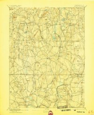
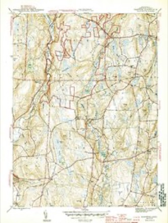
28 topographic sheets cover this place, the earliest surveyed in 1892 and the latest in 1994. It stands in Pomfret town. It lies in ZIP code area 06259. It lies near Allen Hill. The Survey maps it on the Hampton quadrangle.
On record in Abington
Buildings and businesses the archive holds for this place. Each opens its own page, with the source record it came from.
On the National Register 2 records
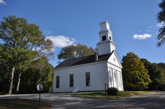 Abington Congregational Churchlisted 1977
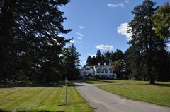 Gwyn Careglisted 1994
Topographic sheets covering this place
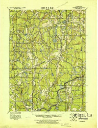
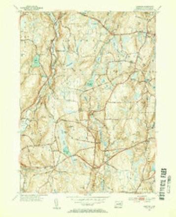
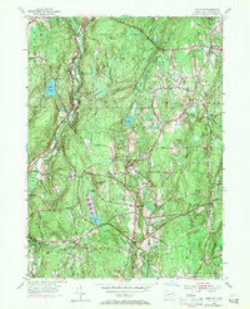
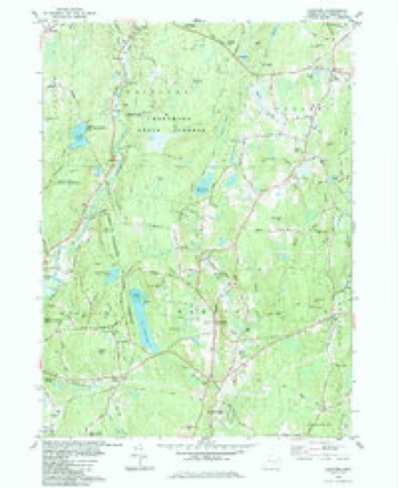
13 surveys from 28 printed sheetsMatched by testing this settlement's coordinate against the published boundary of every sheet in the United States Geological Survey's historical collection. Each opens the scanned sheet at the Survey.
- 1892 USGS Woodstock quadrangle1:62500, 6 printings
- 1921 USGS Woodstock quadrangle1:62500
- 1944 USGS Hampton quadrangle1:31680, 2 printings
- 1947 USGS Hartford quadrangle1:250000, 2 printings
- 1948 USGS Hartford quadrangle1:250000, 2 printings
- 1953 USGS Hampton quadrangle1:31680, 2 printings
- 1953 USGS Hampton quadrangle1:24000, 3 printings
- 1961 USGS Hartford quadrangle1:250000
- 1962 USGS Hartford quadrangle1:250000, 3 printings
- 1965 USGS Hartford quadrangle1:250000, 2 printings
- 1984 USGS Hampton quadrangle1:24000
- 1986 USGS Hartford quadrangle1:100000
- 1994 USGS Hartford quadrangle1:100000, 2 printings







In the county-history sources
30,088 words on this townshipHistory of Windham County, Connecticut .., published 1889 names this settlement in its chapter on Pomfret Town. These are the passages that mention it, exactly as the scans read.
THE town of Pomfret is one of the central towns of Windham county, lying a little north of the geographical center. It is surrounded by its sister towns, Woodstock on the north, Putnam and Killingly on the east, Brooklyn on the south, Hampton on the southwest, and Eastford on the west. Its original territory has been diminished by contributions toward Brooklyn on the south, Hampton on the southwest, and Putnam on the northeast. Its present dimensions are about six miles square, with irregular excesses of a mile in the southeast part, and a mile and a half upon the northwest corner of Brooklyn. Its area is about forty square miles. The surface of the town is hilly and rolling, but a large part of it presents a good soil and is well adapted for profitable culture. The Quinebaug river, which flows along the southern half of the eastern boundary, receives the Mashamoquet, which drains a large part of the surface of this town. The New York and New England railroad crosses the town diagonally from southwest to northeast, affording stations at Elliotts, Abington and Pomfret Centre. Each of these localities has a post office and the town contains other post offices, Pomfret and Pomfret Landing. The main village, known as Pomfret Street, is located on a beautifully commanding hill in the northern part of the town. The wide old street, lined with majestic shade trees and borders of the richest verdure, is filled with homes that speak from their neatness and luxurious furnishings, of peaceful, refreshing, health giving rest and enjoyments which they must afford to those whom fortune has favored with a resting place within them.
Passage source: History of Windham County, Connecticut .., published 1889.
The territory occupied by Pomfret was included in the Wabbaquasset country, and came into the possession of Major Fitch in 1684. A number of Roxbury men having heard favorable reports of the land lying southward in Connecticut, opened negotiations with Major Fitch, and purchased 15,100 acres to be located by their choice in the Wabbaquasset country near the line of the Nipmuck country. The deed of this sale bore date May 1st, 1686, and the grantees named in it were Samuel Ruggles, Sr., John Chandler, Sr., Benjamin Sabin, John Grosvenor, Samuel Ruggles, Jr., and Joseph Griffin. A stipulation of the transfer deed was that within three years the ground should be chosen and that it should be owned in fourteen equal shares, twelve of which should be held by the grantees and two by Major Fitch. May 30th the deed was confirmed by the consent and signature of Owaneco and Josiah, his eldest son and heir. Six other proprietors who were admitted to make the required twelve were John Pierpont, John White, John Ruggles, John
Passage source: History of Windham County, Connecticut .., published 1889.
Before this division was effected, Andross assumed the government of Connecticut, and attempts to appropriate the purchase were deferred till some years after his deposition. May 30th, 1693, the proprietors again met to make arrangements for distribution. Some changes and additions were found needful. The- original south bound of the purchase was a line run due west from the mouth of the Mashamoquet, but as Captain Blackwell had been allowed that river, with all its meerings and veerings, for his northern boundary, they- were obliged to conform to it, and thus lost a portion of their territory. It was voted, " That a line be run west side of the tract, to take in as much land as Captain Blackwell has taken out of the southeast corner, and that two or three of the best parcels be taken up and sub-divided so that each may have one-half his dues, being five hundred and forty acres." The survey and divisions were accomplished during the winter, and on March 27th, 1694, nearly eight years after the date of purchase, the several proprietors received their allotments in the following order: 1, Esther Grosvenor; 2, Thomas Mowry; 3, John Ruggles; 4, John Gore; 5, Samuel Gore's heirs; 6, Samuel Ruggles; 7, John Chandler; 8; Jacob, Benjamin and Daniel Dana; 9, Benjamin Sabin; 10, Thomas and Elizabeth Ruggles; 11, John White; 12, Joseph Griffin.
Passage source: History of Windham County, Connecticut .., published 1889.
Machine-read from a century-old scan, so expect the errors a machine makes: misspelled names, dropped words, stray characters.
Read the whole chapter on Pomfret Town - it names this place 27 more 27 times.
Fires near this place
29 since 1993Regional context, not property-specific evidence. The federal wildfire occurrence database lists 29 fires within 5 miles of Abington between 1993 and 2020, burning about 30 acres in total. None started naturally. None was recorded as arson. Distance is straight-line from the map coordinates, so a fire counted here may appear on a neighbouring settlement's page as well.
| Reported cause | Fires |
|---|---|
| Missing data/not specified/undetermined | 19 |
| Recreation and ceremony | 5 |
| Debris and open burning | 4 |
| Power generation/transmission/distribution | 1 |
The most recent of them, most recent first, with the day each was reported and the service that recorded it.
| Date | Cause | Size | Reported by | Name on the report |
|---|---|---|---|---|
| 8 August 2016 | Missing data/not specified/undetermined | under an acre | Connecticut Division of Forestry | 1 TECHNOLOGY DR, KILLINGLY |
| 5 August 2020 | Missing data/not specified/undetermined | under an acre | Connecticut Division of Forestry | 631 POMFRET STREET |
| 31 July 2020 | Missing data/not specified/undetermined | 1.0 acres | Connecticut Division of Forestry | 286 CHERRY HILL ROAD |
| 31 July 2015 | Recreation and ceremony | 1.5 acres | Connecticut Division of Forestry | not named |
| 29 May 1993 | Debris and open burning | 4.0 acres | Connecticut Division of Forestry | not named |
| 15 May 2004 | Missing data/not specified/undetermined | 2.0 acres | Connecticut Division of Forestry | not named |
| 15 May 2003 | Missing data/not specified/undetermined | 1.1 acres | Connecticut Division of Forestry | not named |
| 14 May 2012 | Debris and open burning | under an acre | Connecticut Division of Forestry | POMFRET |
Settlements close enough to share some of these fires:
Mines and quarries near this place
2 within 5 milesRegional context, not property-specific evidence. The federal mineral resources record lists 2 workings within 5 miles of Abington: 2 past producers. None of them still produces. What was taken out: Sand and Gravel, Construction, Stone, Dimension. Distance is straight-line from the map coordinates, so a quarry counted here may appear on a neighbouring settlement's page as well.
| Where | Site | Commodity | Status | Recorded |
|---|---|---|---|---|
| Latham Pit | Sand and Gravel, Construction | Past Producer | ||
| Quarry | Stone, Dimension | Past Producer |
Storms near this place
3 since 2018Regional context, not property-specific evidence. The National Weather Service names Abington in 3 storm reports between 2018 and 2024: 3 thunderstorm wind. No death or injury is recorded in these reports. Each account below is quoted exactly as the forecast office filed it, from the NOAA Storm Events Database, and each date opens the federal record of that event.
| When | Event | Place named | Harm | What the report says |
|---|---|---|---|---|
| May 2018 | Thunderstorm Wind | Abington | $10,000 | At 4:45 PM EST trees and wires were reported down on State Route 97 in Abington. |
| June 2024 | Thunderstorm Wind | Abington | $1,500 | In Pomfret, there were trees and wires down on Hampton Rd. |
| July 2023 | Thunderstorm Wind | Abington | $1,000 | In Pomfret, a tree was down on wires on Taft Pond Rd. and on Wrights Crossing Rd. |
Nearest settlements
The eight closest, with where each one stands in the county. Distances are straight-line, computed from the Geographic Names Information System coordinates.
| Map | Place | Distance | Sheets |
|---|---|---|---|
| Elliotts | 1.9 miles | 28 | |
| Pomfret Center | 3.0 miles | 29 | |
| Massomuck (historical) | 3.5 miles | 29 | |
| Pomfret | 3.5 miles | 29 | |
| Pomfret Landing | 3.8 miles | 30 | |
| Phoenixville | 4.3 miles | 28 | |
| Quasset Lake | 4.5 miles | 29 | |
| Eastford | 4.8 miles | 28 |
Elsewhere
Matched on this settlement's Geographic Names Information System number rather than its name, so it cannot be a different place of the same name in another state.
| Wikipedia article on Abington | An encyclopaedic summary. Its text is share-alike, so it is linked here rather than copied. |
| Wikidata item Q4054752 | The structured record the population and elevation above come from. Public domain (CC0). |
Provenance
This settlement is recorded in the Geographic Names Information System as feature 205033. The sheet list is computed by point-in-boundary test against the United States Geological Survey's historical topographic inventory. Both are works of the United States government and carry no copyright under 17 U.S.C. 105.
Wildfire. Short, Karen C. 2022. Spatial wildfire occurrence data for the United States, 1992-2020 [FPA_FOD_20221014]. 6th Edition. Fort Collins, CO: Forest Service Research Data Archive. https://doi.org/10.2737/RDS-2013-0009.6 Collected with United States Government funding and usable without additional permissions or fees.
Mines and quarries. USGS Mineral Resources Data System (MRDS) https://mrdata.usgs.gov/mrds/ A work of the United States government, no copyright under 17 U.S.C. 105.
Storms. NOAA National Centers for Environmental Information, Storm Events Database https://www.ncei.noaa.gov/stormevents/ A work of the United States government, no copyright under 17 U.S.C. 105. Narratives are quoted verbatim from the National Weather Service report and are not edited or summarised.