 Block
Kenyonville, Connecticut
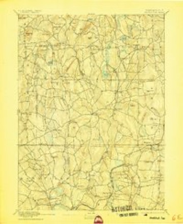
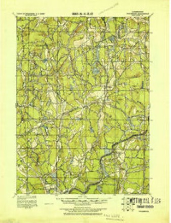
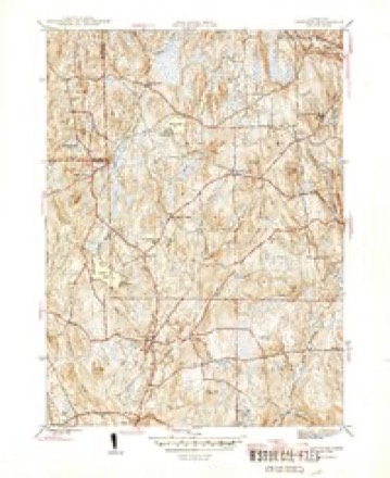
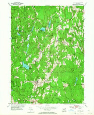
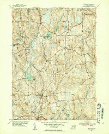
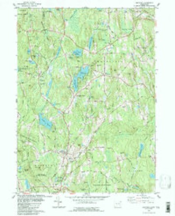
28 topographic sheets cover this place, the earliest surveyed in 1892 and the latest in 1994. It stands in Woodstock town. It lies in ZIP code area 06282. It lies near Kenyon Hill. The Survey maps it on the Eastford quadrangle.
Topographic sheets covering this place
13 surveys from 28 printed sheetsMatched by testing this settlement's coordinate against the published boundary of every sheet in the United States Geological Survey's historical collection. Each opens the scanned sheet at the Survey.
- 1892 USGS Woodstock quadrangle1:62500, 6 printings
- 1921 USGS Woodstock quadrangle1:62500
- 1945 USGS Eastford quadrangle1:31680, 2 printings
- 1947 USGS Hartford quadrangle1:250000, 2 printings
- 1948 USGS Hartford quadrangle1:250000, 2 printings
- 1953 USGS Eastford quadrangle1:24000, 3 printings
- 1953 USGS Eastford quadrangle1:31680, 2 printings
- 1961 USGS Hartford quadrangle1:250000
- 1962 USGS Hartford quadrangle1:250000, 3 printings
- 1965 USGS Hartford quadrangle1:250000, 2 printings
- 1983 USGS Eastford quadrangle1:24000
- 1986 USGS Hartford quadrangle1:100000
- 1994 USGS Hartford quadrangle1:100000, 2 printings







In the county-history sources
50,238 words on this townshipHistory of Windham County, Connecticut .., published 1889 names this settlement in its chapter on Woodstock Town. These are the passages that mention it, exactly as the scans read.
The succeeding pastorate of Reverend Amos Throop, ordained May 24th, 1727, was as harmonious as that of Mr. Dwight had been stormy. Various secular matters were now under consideration. As early as 1720 Colonel John Chandler had presented a petition to the general court for the erection of a new county in the south of Massachusetts, to be called Worcester. A bill was presented, ordered to be considered, and then indefinitely deferred. Renewed Indian hostilities gave much annoyance. Colonel John Chandler and his son William were much occupied in military affairs, the latter having charge of a frontier guard for many months. Woodstock households were again gathered into garrisons, and exposed to perils and anxieties. A rumored invasion of Worcester, in 1724, called out a most urgent appeal from that feeble settlement to Colonel Chandler, " having an expectation that he would be a father to it."
Passage source: History of Windham County, Connecticut .., published 1889.
The republican party was largely in ascendency during the years of the war. In 1872 democrats and liberals united on a ticket for town officers, " composed of good men," but did not succeed in breaking the ranks of the republicans. Ezra C. May still served as town clerk and treasurer ; selectmen, George W. Clarke, Stephen D. Skinner, Nathan E. Morse ; assessors, Martin Paine, Joseph R. Barber, Joseph M. Morse; board of relief, Amos A. Carrol, William H. Church, John A. Mason ; grand jurors, Erastus H. Wells, Henry T. Child, Abiel Fox, Arthur Stetson, Ezra C. Child, Ebenezer Bishop ; constables, P. Skinner, Jeremiah Church, John H. Child ; John Paine, agent ; John A. Mason, treasurer of town deposit fund; registrars of voters, Dis. 1. Lewis J. Wells, William H. Pearson ; Dis. 2. George Bugbee, Albert Kenyon ; Dis. 3. John Paine, George A. Penniman ; school visitors, George S. F. Stoddard, Sylvester Barrows, Ebenezer Bishop, Monroe W. Ide, George Bugbee. George A. Paine served faithfully for several terms in the important office of school fund commissioner.
Passage source: History of Windham County, Connecticut .., published 1889.
Machine-read from a century-old scan, so expect the errors a machine makes: misspelled names, dropped words, stray characters.
Fires near this place
43 since 2006Regional context, not property-specific evidence. The federal wildfire occurrence database lists 43 fires within 5 miles of Kenyonville between 2006 and 2020, burning about 54 acres in total. None started naturally. None was recorded as arson. Distance is straight-line from the map coordinates, so a fire counted here may appear on a neighbouring settlement's page as well.
| Reported cause | Fires |
|---|---|
| Missing data/not specified/undetermined | 25 |
| Recreation and ceremony | 9 |
| Debris and open burning | 6 |
| Smoking | 2 |
| Power generation/transmission/distribution | 1 |
The most recent of them, most recent first, with the day each was reported and the service that recorded it.
| Date | Cause | Size | Reported by | Name on the report |
|---|---|---|---|---|
| 17 August 2020 | Missing data/not specified/undetermined | under an acre | Connecticut Division of Forestry | 13 BUELL DRIVE |
| 31 July 2020 | Recreation and ceremony | 1.0 acres | Connecticut Division of Forestry | MASHAPAUG |
| 9 June 2016 | Missing data/not specified/undetermined | under an acre | Connecticut Division of Forestry | 57 UNION RD, EASTFORD CT |
| 14 June 2016 | Missing data/not specified/undetermined | under an acre | Connecticut Division of Forestry | 1791 ROUTE 197, WOODSTOCK |
| 29 May 2011 | Missing data/not specified/undetermined | under an acre | Connecticut Division of Forestry | WOODSTOCK |
| 21 May 2008 | Debris and open burning | under an acre | Connecticut Division of Forestry | not named |
| 14 May 2011 | Missing data/not specified/undetermined | under an acre | Connecticut Division of Forestry | WOODSTOCK |
| 13 May 2008 | Debris and open burning | 1.5 acres | Connecticut Division of Forestry | not named |
Settlements close enough to share some of these fires:
Mines and quarries near this place
2 within 5 milesRegional context, not property-specific evidence. The federal mineral resources record lists 2 workings within 5 miles of Kenyonville: 2 past producers. None of them still produces. What was taken out: Sand and Gravel, Construction, Iron. Distance is straight-line from the map coordinates, so a quarry counted here may appear on a neighbouring settlement's page as well.
| Where | Site | Commodity | Status | Recorded |
|---|---|---|---|---|
| Bog Iron Mine | Iron | Past Producer | ||
| Latham Pit | Sand and Gravel, Construction | Past Producer |
Storms near this place
3 since 2020Regional context, not property-specific evidence. The National Weather Service names Kenyonville in 3 storm reports between 2020 and 2024: 3 thunderstorm wind. No death or injury is recorded in these reports. Each account below is quoted exactly as the forecast office filed it, from the NOAA Storm Events Database, and each date opens the federal record of that event.
| When | Event | Place named | Harm | What the report says |
|---|---|---|---|---|
| June 2024 | Thunderstorm Wind | Kenyonville | $3,000 | In Union, multiple trees were down along Rt 171 and Rt 198. |
| July 2020 | Thunderstorm Wind | Kenyonville | $1,000 | In Eastford, an almond tree was down on Westford Road by the Bigelow Brook Farm. Also, a tree and large branch was down on Weeks Road, near the entrance to Camp Nahaco. |
| November 2020 | Thunderstorm Wind | Kenyonville | $800 | In Woodstock, a tree was down on power lines at the intersection of Route 198 (Eastford Road) and Hawkins Road. |
Nearest settlements
The eight closest, with where each one stands in the county. Distances are straight-line, computed from the Geographic Names Information System coordinates.
| Map | Place | Distance | Sheets |
|---|---|---|---|
| Woodstock Valley | 1.0 miles | 28 | |
| Witches Woods | 1.4 miles | 28 | |
| Eastford | 1.9 miles | 28 | |
| Lake Bungee | 2.0 miles | 28 | |
| North Ashford | 2.1 miles | 28 | |
| West Woodstock | 2.6 miles | 28 | |
| Phoenixville | 3.6 miles | 28 | |
| Ashford | 4.4 miles | 28 |
Provenance
This settlement is recorded in the Geographic Names Information System as feature 212490. The sheet list is computed by point-in-boundary test against the United States Geological Survey's historical topographic inventory. Both are works of the United States government and carry no copyright under 17 U.S.C. 105.
Wildfire. Short, Karen C. 2022. Spatial wildfire occurrence data for the United States, 1992-2020 [FPA_FOD_20221014]. 6th Edition. Fort Collins, CO: Forest Service Research Data Archive. https://doi.org/10.2737/RDS-2013-0009.6 Collected with United States Government funding and usable without additional permissions or fees.
Mines and quarries. USGS Mineral Resources Data System (MRDS) https://mrdata.usgs.gov/mrds/ A work of the United States government, no copyright under 17 U.S.C. 105.
Storms. NOAA National Centers for Environmental Information, Storm Events Database https://www.ncei.noaa.gov/stormevents/ A work of the United States government, no copyright under 17 U.S.C. 105. Narratives are quoted verbatim from the National Weather Service report and are not edited or summarised.