 Block
Pomfret Landing, Connecticut
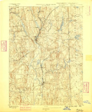
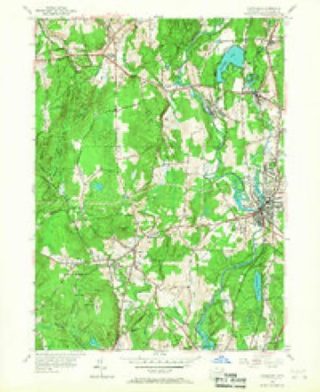
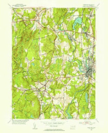
30 topographic sheets cover this place, the earliest surveyed in 1889 and the latest in 1984. It stands in Pomfret town. It lies in ZIP code area 06259. It stands on White Brook. The Survey maps it on the Danielson quadrangle.
Topographic sheets covering this place
13 surveys from 30 printed sheetsMatched by testing this settlement's coordinate against the published boundary of every sheet in the United States Geological Survey's historical collection. Each opens the scanned sheet at the Survey.
- 1889 USGS Putnam quadrangle1:62500
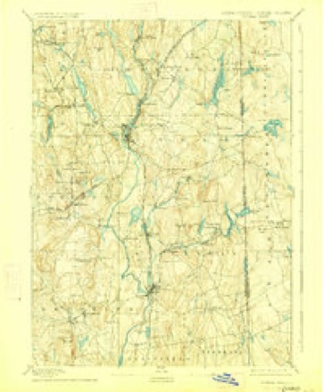
- 1893 USGS Putnam quadrangle1:62500, 8 printings
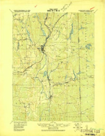
- 1919 USGS Putnam quadrangle1:62500
- 1943 USGS Putnam quadrangle1:125000
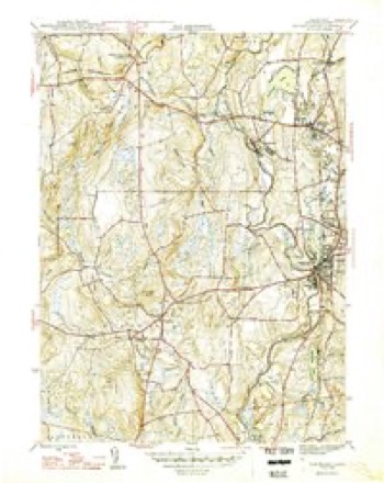
- 1946 USGS Danielson quadrangle1:31680, 2 printings
- 1947 USGS Providence quadrangle1:250000, 5 printings
- 1948 USGS Providence quadrangle1:250000
- 1955 USGS Danielson quadrangle1:24000, 6 printings
- 1955 USGS Danielson quadrangle1:31680
- 1957 USGS Providence quadrangle1:250000
- 1958 USGS Providence quadrangle1:250000
- 1963 USGS Providence quadrangle1:250000
- 1984 USGS Providence quadrangle1:100000







In the county-history sources
30,088 words on this townshipHistory of Windham County, Connecticut .., published 1889 names this settlement in its chapter on Pomfret Town. These are the passages that mention it, exactly as the scans read.
THE town of Pomfret is one of the central towns of Windham county, lying a little north of the geographical center. It is surrounded by its sister towns, Woodstock on the north, Putnam and Killingly on the east, Brooklyn on the south, Hampton on the southwest, and Eastford on the west. Its original territory has been diminished by contributions toward Brooklyn on the south, Hampton on the southwest, and Putnam on the northeast. Its present dimensions are about six miles square, with irregular excesses of a mile in the southeast part, and a mile and a half upon the northwest corner of Brooklyn. Its area is about forty square miles. The surface of the town is hilly and rolling, but a large part of it presents a good soil and is well adapted for profitable culture. The Quinebaug river, which flows along the southern half of the eastern boundary, receives the Mashamoquet, which drains a large part of the surface of this town. The New York and New England railroad crosses the town diagonally from southwest to northeast, affording stations at Elliotts, Abington and Pomfret Centre. Each of these localities has a post office and the town contains other post offices, Pomfret and Pomfret Landing. The main village, known as Pomfret Street, is located on a beautifully commanding hill in the northern part of the town. The wide old street, lined with majestic shade trees and borders of the richest verdure, is filled with homes that speak from their neatness and luxurious furnishings, of peaceful, refreshing, health giving rest and enjoyments which they must afford to those whom fortune has favored with a resting place within them.
Passage source: History of Windham County, Connecticut .., published 1889.
During the Indian war the family of Captain Sabin were the only white inhabitants of the future Pomfret now known to us, though it is possible that Benjamin Sitton, styling himself of " Mashamoquet, in Nipmug Country," who purchased of the Danas in 1698 " fifty acres of wilderness land at a place called Mashamoquet, bounded west by Windham Rode," was also a resident. Some land sales were effected during this period. Land in the Quinebaug valley was sold to Sabin by Fitch and Owaneco. Two hundred acres, bounded north on Sabin's first purchase, the full breadth of the land, were sold by Major Fitch to Samuel Paine, of Rehoboth, in 1695. Philemon Chandler, of Andover, nephew of Deacon John Chandler, of Woodstock, purchased a Mashamoquet allotment of Thomas and Elizabeth Ruggles in 1696. After the close of the war sales multiplied and settlers straggled in. Nathaniel Gary came to the new settlement probably as early as 1698, settling on land east of the purchase. The payment of twelve pounds secured him, in 1699, a deed of five hundred and fifty acres " southeast from Woodstock," in what was afterward called the Gary neighborhood. The land between the purchase and the Quinebaug, the whole length of the township, was owned by Major Fitch, who is said to have once offered it to John Grosvenor for fifteen pounds. His sons, John and Leicester, gave a much larger sum in 1698 for 400 acres of this valuable land, extending from the mouth of the Mashamoquet to a brook at the north end of the interval. Farms east of the purchase were sold by Major Fitch to Samuel Allen and Samuel Gray in 1699. Three hundred acres on the Quinebaug, just below its junction with the Mill river, are said to have been purchased from the Wabbaquasset proprietors at a very early date by Samuel Perrin, Benjamin Griggs and Peter Aspinwall, then of Woodstock, and were confirmed to them by Major Fitch on the payment of twelve pounds in 1702. The remaining land between the Quinebaug an-d the purchase, from Woodstock line to the mouth of the Mashamoquet, was purchased by Captain John Chandler for twenty pounds in 1701.
Passage source: History of Windham County, Connecticut .., published 1889.
In the southeastern part of the town lies a settlement which gives evidence of business in earlier days, but which evidences are fading into the appearances of desertion, while in other directions new life is springing up. A large building stands in the heart of the settlement known as Pomfret Landing, which was once a cotton factory, but for long years has been abandoned as to that use, and a part of it is still used as a grist mill. A store and a few houses, and a handsome school house, make up the appearances which art has given to adorn a landscape which nature left in so rich a condition of beauty as to need but little more to make it one of the enchanting nooks of this almost fairy land. We might dwell at length upon the beauties of Pomfret Landing - a rich, cool glen in the green valley of the rippling, rambling, laughing Mashamoquet. But while the din of the cotton mill is no longer heard, and the rock ribbed hills no longer give echoing answers to the shrill whistle of the " brick steamers " plying the river, yet new signs of business life and social prosperity are not wanting here. A creamery was started here in 1885, which is now in a flourishing condition, its success fully warranting all the sanguine expectations which were put forth in regard to it. The cream is received into large vats, holding 300 gallons each, where it is brought to the desired temperature, and thence it goes into swing churns run by steam, in which it is converted into butter. A wagon is run out daily, which gathers the cream from about 400 cows. About 1,800 pounds of butter a week are made during the best part of the season, and the market demand for this butter is ahead of the supply, at good prices. A 12-horse power steam boiler is used to run the machinery and regulate the temperature.
Passage source: History of Windham County, Connecticut .., published 1889.
Machine-read from a century-old scan, so expect the errors a machine makes: misspelled names, dropped words, stray characters.
Read the whole chapter on Pomfret Town - it names this place 1 more 1 time.
Fires near this place
226 since 1992Regional context, not property-specific evidence. The federal wildfire occurrence database lists 226 fires within 5 miles of Pomfret Landing between 1992 and 2020, burning about 300 acres in total. None started naturally. 29 were recorded as arson. Distance is straight-line from the map coordinates, so a fire counted here may appear on a neighbouring settlement's page as well.
| Reported cause | Fires |
|---|---|
| Missing data/not specified/undetermined | 126 |
| Arson/incendiarism | 29 |
| Recreation and ceremony | 28 |
| Debris and open burning | 23 |
| Misuse of fire by a minor | 9 |
| Smoking | 7 |
| Railroad operations and maintenance | 2 |
| Power generation/transmission/distribution | 1 |
| Equipment and vehicle use | 1 |
The most recent of them, most recent first, with the day each was reported and the service that recorded it.
| Date | Cause | Size | Reported by | Name on the report |
|---|---|---|---|---|
| 8 September 1995 | Missing data/not specified/undetermined | 2.0 acres | Connecticut Division of Forestry | not named |
| 7 September 1995 | Arson/incendiarism | 2.5 acres | Connecticut Division of Forestry | not named |
| 19 September 2020 | Missing data/not specified/undetermined | under an acre | Connecticut Division of Forestry | 1 CAPRON STREET |
| 16 September 2020 | Recreation and ceremony | under an acre | Connecticut Division of Forestry | ALAN HILL ROAD* |
| 16 September 2020 | Recreation and ceremony | under an acre | Connecticut Division of Forestry | 76 ROCK AVE |
| 15 September 2020 | Recreation and ceremony | under an acre | Connecticut Division of Forestry | ROCK AVE |
| 15 September 2020 | Missing data/not specified/undetermined | under an acre | Connecticut Division of Forestry | 15 RIDGE ROAD |
| 10 September 2016 | Missing data/not specified/undetermined | under an acre | Connecticut Division of Forestry | 1050 N MAIN ST, KILLINGLY |
Settlements close enough to share some of these fires:
Mines and quarries near this place
7 within 5 milesRegional context, not property-specific evidence. The federal mineral resources record lists 7 workings within 5 miles of Pomfret Landing: 4 past producers, 3 producers. 3 still produce. What was taken out: Sand and Gravel, Construction, Stone, Dimension, Stone, Crushed/Broken. Distance is straight-line from the map coordinates, so a quarry counted here may appear on a neighbouring settlement's page as well.
| Where | Site | Commodity | Status | Recorded |
|---|---|---|---|---|
| Connecticut Flat | Stone, Crushed/Broken | Past Producer | ||
| Hughes Quarry | Stone, Dimension | Producer | ||
| Hughes Stone Company | Stone, Crushed/Broken | Past Producer | ||
| Quarry | Stone, Dimension | Past Producer | ||
| Garvey Pit | Sand and Gravel, Construction | Past Producer | Sedimentary | |
| Garvey Pit | Sand and Gravel, Construction | Producer | ||
| Townfarm Road Pit | Sand and Gravel, Construction | Producer |
Nearest settlements
The eight closest, with where each one stands in the county. Distances are straight-line, computed from the Geographic Names Information System coordinates.
| Map | Place | Distance | Sheets |
|---|---|---|---|
| Rogers | 1.7 miles | 30 | |
| Dayville | 2.6 miles | 30 | |
| Pomfret Center | 3.0 miles | 29 | |
| Attawaugan | 3.1 miles | 30 | |
| Elmville | 3.4 miles | 30 | |
| Massomuck (historical) | 3.6 miles | 29 | |
| Pomfret | 3.6 miles | 29 | |
| Killingly Center | 3.6 miles | 30 |
Provenance
This settlement is recorded in the Geographic Names Information System as feature 209896. The sheet list is computed by point-in-boundary test against the United States Geological Survey's historical topographic inventory. Both are works of the United States government and carry no copyright under 17 U.S.C. 105.
Wildfire. Short, Karen C. 2022. Spatial wildfire occurrence data for the United States, 1992-2020 [FPA_FOD_20221014]. 6th Edition. Fort Collins, CO: Forest Service Research Data Archive. https://doi.org/10.2737/RDS-2013-0009.6 Collected with United States Government funding and usable without additional permissions or fees.
Mines and quarries. USGS Mineral Resources Data System (MRDS) https://mrdata.usgs.gov/mrds/ A work of the United States government, no copyright under 17 U.S.C. 105.