 Block
Ballouville, Connecticut
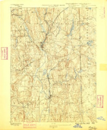
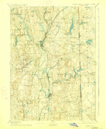
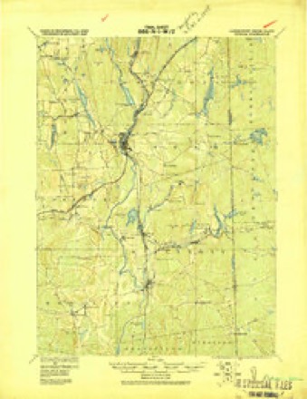
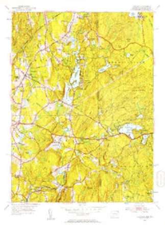
23 topographic sheets cover this place, the earliest surveyed in 1889 and the latest in 1984. It stands in Killingly town. It lies in ZIP code area 06241. It lies near Rattlesnake Hill. The Survey maps it on the Thompson quadrangle. It stands 322 feet above sea level.
Topographic sheets covering this place
11 surveys from 23 printed sheetsMatched by testing this settlement's coordinate against the published boundary of every sheet in the United States Geological Survey's historical collection. Each opens the scanned sheet at the Survey.
- 1889 USGS Putnam quadrangle1:62500
- 1893 USGS Putnam quadrangle1:62500, 8 printings
- 1919 USGS Putnam quadrangle1:62500
- 1943 USGS Putnam quadrangle1:125000
- 1947 USGS Providence quadrangle1:250000, 5 printings
- 1948 USGS Providence quadrangle1:250000
- 1955 USGS Thompson quadrangle1:24000, 2 printings
- 1957 USGS Providence quadrangle1:250000
- 1958 USGS Providence quadrangle1:250000
- 1963 USGS Providence quadrangle1:250000
- 1984 USGS Providence quadrangle1:100000







In the county-history sources
42,294 words on this townshipHistory of Windham County, Connecticut .., published 1889; History of Windham County, Connecticut, published 1880 names this settlement in its chapter on Killingly Town. These are the passages that mention it, exactly as the scans read.
This locality is known as Elliottville. A fall of some twentyfour feet is obtained here. A short distance below the last mentioned, we come to the Elliottville Mills of James P. Kendall, of which James Dixon is superintendent. It is a handsome stone building, about 40 by 75 feet, four floors, with a wing 40 by 50 feet, also four floors. Fine cotton yarns and warps are manufactured. The mill has 7,000 spindles.
Passage source: History of Windham County, Connecticut .., published 1889.
Great interest has been taken in the public schools of this village. Two graded schools are in operation, one in each town. Commodious brick buildings have been erected, one in each district. The borough on the east side of the Quinebaug is District No. 1, of Killingly, while that part of the bo'rough which lies west of the river is No. 9, of Brooklyn. In the former there are about 537 scholars, and in the latter 347. The school in No. 1 is accommodated in a handsome brick building, built in the summer of 1871 at a cost of about $25,000. A high school, which is carried on in this building, belongs to the whole town, and receives pupils from any district in the town without charge. The high school was opened December 6th, 1871, and the first class graduated from it in 1872. Up to the present time the total number of graduates has been 119. This school, including the graded school connected with it in the same building, employs ten teachers. The sohool in District No. 9, in Brooklyn, has an attendance of about three hundred, and employs five teachers. The building is a handsome brick structure, and was erected about the same time or a little previous to the other. The capacity of these schools is hardly sufficient for the growth of the village, but they will be relieved by the opening of the Catholic parochial school, which is to accommodate a large percentage of the foreign population.
Passage source: History of Windham County, Connecticut .., published 1889.
77iomp807i, in 1850, the most populous town in Windham County, and one of the wealthiest niral towns in Coimecttcut, has managed to maintain existence despite the loss of her southern territory and nearly two thousand inhabitants. Since the transfer of Mason ville and Fisherville into the hands of The Grosvenordale Company,* two large and elegant brick factory buildings have been erected and many
Passage source: History of Windham County, Connecticut, published 1880.
Machine-read from a century-old scan, so expect the errors a machine makes: misspelled names, dropped words, stray characters.
Fires near this place
178 since 1992Regional context, not property-specific evidence. The federal wildfire occurrence database lists 178 fires within 5 miles of Ballouville between 1992 and 2020, burning about 266 acres in total. None started naturally. 28 were recorded as arson. Distance is straight-line from the map coordinates, so a fire counted here may appear on a neighbouring settlement's page as well.
| Reported cause | Fires |
|---|---|
| Missing data/not specified/undetermined | 100 |
| Arson/incendiarism | 28 |
| Recreation and ceremony | 18 |
| Debris and open burning | 15 |
| Misuse of fire by a minor | 9 |
| Smoking | 5 |
| Railroad operations and maintenance | 2 |
| Equipment and vehicle use | 1 |
The most recent of them, most recent first, with the day each was reported and the service that recorded it.
| Date | Cause | Size | Reported by | Name on the report |
|---|---|---|---|---|
| 8 September 1995 | Missing data/not specified/undetermined | 2.0 acres | Connecticut Division of Forestry | not named |
| 7 September 1995 | Arson/incendiarism | 2.5 acres | Connecticut Division of Forestry | not named |
| 19 September 2020 | Missing data/not specified/undetermined | under an acre | Connecticut Division of Forestry | 1 CAPRON STREET |
| 16 September 2020 | Missing data/not specified/undetermined | 1.5 acres | Connecticut Division of Forestry | 525 WHITETAIL WAY |
| 16 September 2020 | Recreation and ceremony | under an acre | Connecticut Division of Forestry | 76 ROCK AVE |
| 15 September 2020 | Recreation and ceremony | under an acre | Connecticut Division of Forestry | ROCK AVE |
| 15 September 2020 | Missing data/not specified/undetermined | under an acre | Connecticut Division of Forestry | 15 RIDGE ROAD |
| 10 September 2016 | Missing data/not specified/undetermined | under an acre | Connecticut Division of Forestry | 1050 N MAIN ST, KILLINGLY |
Settlements close enough to share some of these fires:
Mines and quarries near this place
9 within 5 milesRegional context, not property-specific evidence. The federal mineral resources record lists 9 workings within 5 miles of Ballouville: 4 producers, 3 past producers, 2 unknowns. 4 still produce. What was taken out: Sand and Gravel, Construction, Stone, Dimension, Stone, Crushed/Broken. Distance is straight-line from the map coordinates, so a quarry counted here may appear on a neighbouring settlement's page as well.
| Where | Site | Commodity | Status | Recorded |
|---|---|---|---|---|
| Hughes Stone Company | Stone, Crushed/Broken | Past Producer | ||
| Hughes Quarry | Stone, Dimension | Producer | ||
| Quarry | Stone, Dimension | Past Producer | ||
| Garvey Pit | Sand and Gravel, Construction | Past Producer | Sedimentary | |
| Garvey Pit | Sand and Gravel, Construction | Producer | ||
| Munyon Road Pit | Sand and Gravel, Construction | Producer | ||
| R.A. Rawson Sand & Gravel, Inc. | Sand and Gravel, Construction | Unknown | ||
| R.A. Rawson Sand & Gravel, Inc. | Sand and Gravel, Construction | Unknown | ||
| Townfarm Road Pit | Sand and Gravel, Construction | Producer |
Nearest settlements
The eight closest, with where each one stands in the county. Distances are straight-line, computed from the Geographic Names Information System coordinates.
| Map | Place | Distance | Sheets |
|---|---|---|---|
| Pineville | 0.7 miles | 23 | |
| Putnam Heights | 1.1 miles | 23 | |
| Attawaugan | 1.2 miles | 30 | |
| Dayville | 2.5 miles | 30 | |
| Killingly Center | 2.7 miles | 30 | |
| Elliotville (historical) | 2.9 miles | 30 | |
| East Killingly | 2.9 miles | 30 | |
| Elmville | 3.2 miles | 30 |
Elsewhere
Matched on this settlement's Geographic Names Information System number rather than its name, so it cannot be a different place of the same name in another state.
| Wikidata item Q135816990 | The structured record the population and elevation above come from. Public domain (CC0). |
Provenance
This settlement is recorded in the Geographic Names Information System as feature 205236. The sheet list is computed by point-in-boundary test against the United States Geological Survey's historical topographic inventory. Both are works of the United States government and carry no copyright under 17 U.S.C. 105.
Wildfire. Short, Karen C. 2022. Spatial wildfire occurrence data for the United States, 1992-2020 [FPA_FOD_20221014]. 6th Edition. Fort Collins, CO: Forest Service Research Data Archive. https://doi.org/10.2737/RDS-2013-0009.6 Collected with United States Government funding and usable without additional permissions or fees.
Mines and quarries. USGS Mineral Resources Data System (MRDS) https://mrdata.usgs.gov/mrds/ A work of the United States government, no copyright under 17 U.S.C. 105.