 Block
Putnam Heights, Connecticut
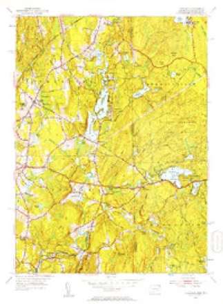
23 topographic sheets cover this place, the earliest surveyed in 1889 and the latest in 1984. It stands in Putnam town. It lies in ZIP code area 06260. It lies near Rattlesnake Hill. The Survey maps it on the Thompson quadrangle.
On record in Putnam Heights
Buildings and businesses the archive holds for this place. Each opens its own page, with the source record it came from.
On the National Register within a mile 1 record
The National Register names another town for these. They stand within one mile of this settlement's coordinate.
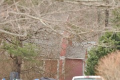 Cady-Copp Houselisted 2001 · 0.2 miles away
Topographic sheets covering this place
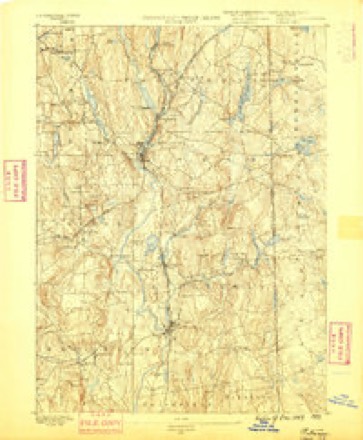
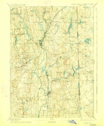
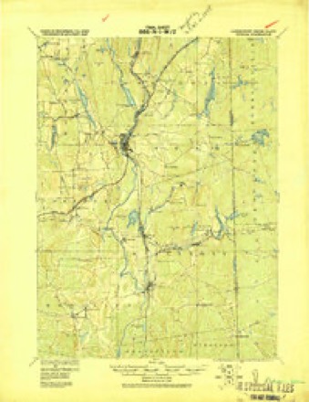
11 surveys from 23 printed sheetsMatched by testing this settlement's coordinate against the published boundary of every sheet in the United States Geological Survey's historical collection. Each opens the scanned sheet at the Survey.
- 1889 USGS Putnam quadrangle1:62500
- 1893 USGS Putnam quadrangle1:62500, 8 printings
- 1919 USGS Putnam quadrangle1:62500
- 1943 USGS Putnam quadrangle1:125000
- 1947 USGS Providence quadrangle1:250000, 5 printings
- 1948 USGS Providence quadrangle1:250000
- 1955 USGS Thompson quadrangle1:24000, 2 printings
- 1957 USGS Providence quadrangle1:250000
- 1958 USGS Providence quadrangle1:250000
- 1963 USGS Providence quadrangle1:250000
- 1984 USGS Providence quadrangle1:100000







In the county-history sources
43,471 words on this townshipHistory of Windham County, Connecticut .., published 1889 names this settlement in its chapter on Putnam Town. These are the passages that mention it, exactly as the scans read.
The second settler within the present limits of Putnam village was Jonathan Eaton, of Dedham, who in 1703 bought land on both sides of the Quinebaug, at what was called the Upper Falls, now improved by the Putnam Manufacturing Company. His home was on the west side of the river, in what was then known as " a Peculiar," viz., a strip of land unassigned to any town. Even Killingly, which exercised rights in the territory of Thompson long before it was legally assigned to her, levied no taxes west side the river. Being thus cut off from civil relations, we can learn little of this early settler excepting the fact that, though not compelled bylaw, he carried his numerous children to be duly baptized in Woodstock meeting house, and > that he was elected deacon of the church in Thompson parish. With two traveled roads near his dwelling, he probably exercised the privilege of entertaining travelers. Above the Upper
Passage source: History of Windham County, Connecticut .., published 1889.
The third family within the bounds of Putnam village was probably that of Samuel Perrin, who, with Peter Aspinwall and Benjamin Griggs, secured a deed of land from Major James Fitch in 1703, both sides the Quinebaug, below its junction with Mill brook. According to tradition, this land was purchased of the Indians, and it seems improbable that so valuable a tract should have been sold at so low a figure by a veteran land jobber unless there had been a prior claim upon it. Aspinwall, as we have seen, took the land east of the river; Griggs sold his share to Samuel Paine. The Perrin farm was retained in the family for several generations. How soon Samuel Perrin took possession of this purchase is not apparent, as he still retained his Woodstock residence, but soon after 1714 he built the well known "old Perrin House," so familiar to older residents of this section. It was probably first cultivated by his younger brother David, who died early, unmarried, and was made over to his son. Ensign Samuel Perrin, after his marriage to Dorothy Morris in 1724.
Passage source: History of Windham County, Connecticut .., published 1889.
During this period many others had gathered in the South Neighborhood and eastward on the Assawaga. James Leavens' saw mill passed into the hands of Isaac and John Cutler, of Lexington, Mass. The former had many sons settling in that vicinity, building gambrel roofed houses, one of which still stands, " the old Cutler House," near the Rhode Island line. John Cutler died early, leaving numerous children. Part of his original farm was lost by a re-settlement of the above line, and his son Hezekiah removed to the vicinity of Killingly hill. The first meeting house in Killingly was built a little south of this hill, near the Providence road, in 1715, and encouraged settlement in that vicinity. The first minister, Reverend John Fisk, had his residence west of the hill.
Passage source: History of Windham County, Connecticut .., published 1889.
Machine-read from a century-old scan, so expect the errors a machine makes: misspelled names, dropped words, stray characters.
Read the whole chapter on Putnam Town - it names this place 12 more 12 times.
Fires near this place
226 since 1992Regional context, not property-specific evidence. The federal wildfire occurrence database lists 226 fires within 5 miles of Putnam Heights between 1992 and 2020, burning about 429 acres in total. None started naturally. 29 were recorded as arson. Distance is straight-line from the map coordinates, so a fire counted here may appear on a neighbouring settlement's page as well.
| Reported cause | Fires |
|---|---|
| Missing data/not specified/undetermined | 130 |
| Arson/incendiarism | 29 |
| Recreation and ceremony | 20 |
| Debris and open burning | 18 |
| Misuse of fire by a minor | 18 |
| Smoking | 6 |
| Equipment and vehicle use | 3 |
| Railroad operations and maintenance | 2 |
The most recent of them, most recent first, with the day each was reported and the service that recorded it.
| Date | Cause | Size | Reported by | Name on the report |
|---|---|---|---|---|
| 8 September 1995 | Missing data/not specified/undetermined | 2.0 acres | Connecticut Division of Forestry | not named |
| 7 September 1995 | Arson/incendiarism | 2.5 acres | Connecticut Division of Forestry | not named |
| 20 September 2020 | Missing data/not specified/undetermined | 3.5 acres | Connecticut Division of Forestry | 78 ROCK AVE |
| 16 September 2020 | Missing data/not specified/undetermined | 1.5 acres | Connecticut Division of Forestry | 525 WHITETAIL WAY |
| 16 September 2020 | Recreation and ceremony | under an acre | Connecticut Division of Forestry | 76 ROCK AVE |
| 15 September 2020 | Recreation and ceremony | under an acre | Connecticut Division of Forestry | ROCK AVE |
| 15 September 2020 | Missing data/not specified/undetermined | under an acre | Connecticut Division of Forestry | 15 RIDGE ROAD |
| 10 September 2016 | Missing data/not specified/undetermined | under an acre | Connecticut Division of Forestry | 1050 N MAIN ST, KILLINGLY |
Settlements close enough to share some of these fires:
Mines and quarries near this place
9 within 5 milesRegional context, not property-specific evidence. The federal mineral resources record lists 9 workings within 5 miles of Putnam Heights: 4 producers, 3 past producers, 2 unknowns. 4 still produce. What was taken out: Sand and Gravel, Construction, Stone, Dimension, Stone, Crushed/Broken. Distance is straight-line from the map coordinates, so a quarry counted here may appear on a neighbouring settlement's page as well.
| Where | Site | Commodity | Status | Recorded |
|---|---|---|---|---|
| Hughes Stone Company | Stone, Crushed/Broken | Past Producer | ||
| Hughes Quarry | Stone, Dimension | Producer | ||
| Quarry | Stone, Dimension | Past Producer | ||
| Garvey Pit | Sand and Gravel, Construction | Past Producer | Sedimentary | |
| Garvey Pit | Sand and Gravel, Construction | Producer | ||
| Munyon Road Pit | Sand and Gravel, Construction | Producer | ||
| R.A. Rawson Sand & Gravel, Inc. | Sand and Gravel, Construction | Unknown | ||
| R.A. Rawson Sand & Gravel, Inc. | Sand and Gravel, Construction | Unknown | ||
| Townfarm Road Pit | Sand and Gravel, Construction | Producer |
Nearest settlements
The eight closest, with where each one stands in the county. Distances are straight-line, computed from the Geographic Names Information System coordinates.
| Map | Place | Distance | Sheets |
|---|---|---|---|
| Pineville | 1.1 miles | 23 | |
| Ballouville | 1.1 miles | 23 | |
| Attawaugan | 1.9 miles | 30 | |
| Putnam | 2.7 miles | 29 | |
| East Putnam | 3.1 miles | 23 | |
| Dayville | 3.3 miles | 30 | |
| Mechanicsville | 3.6 miles | 29 | |
| Killingly Center | 3.7 miles | 30 |
Provenance
This settlement is recorded in the Geographic Names Information System as feature 210025. The sheet list is computed by point-in-boundary test against the United States Geological Survey's historical topographic inventory. Both are works of the United States government and carry no copyright under 17 U.S.C. 105.
Wildfire. Short, Karen C. 2022. Spatial wildfire occurrence data for the United States, 1992-2020 [FPA_FOD_20221014]. 6th Edition. Fort Collins, CO: Forest Service Research Data Archive. https://doi.org/10.2737/RDS-2013-0009.6 Collected with United States Government funding and usable without additional permissions or fees.
Mines and quarries. USGS Mineral Resources Data System (MRDS) https://mrdata.usgs.gov/mrds/ A work of the United States government, no copyright under 17 U.S.C. 105.