 Block
Elliotville, Connecticut
30 topographic sheets cover this place, the earliest surveyed in 1889 and the latest in 1984. It stands in Killingly town. It lies in ZIP code area 06241. It stands on Slater Brook. The Survey maps it on the East Killingly quadrangle. The federal gazetteer marks this settlement historical: it is no longer a populated place, though the surveys that recorded it still are.
On record in Elliotville
Buildings and businesses the archive holds for this place. Each opens its own page, with the source record it came from.
On the National Register within a mile 1 record
The National Register names another town for these. They stand within one mile of this settlement's coordinate.
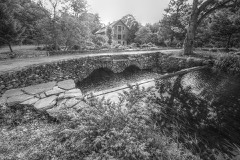 Elliottville Lower Milllisted 1982 · 0.7 miles away
Topographic sheets covering this place
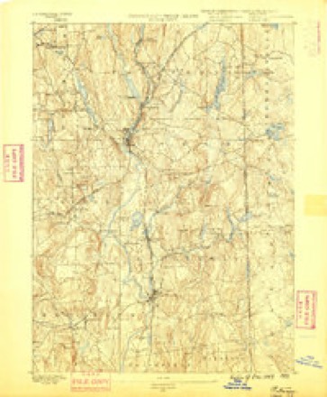
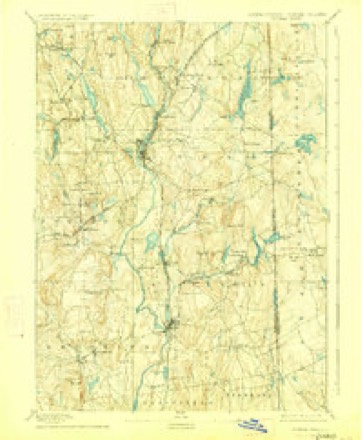
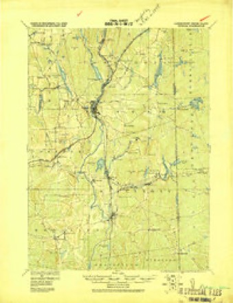
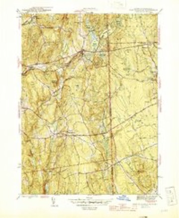
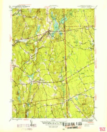
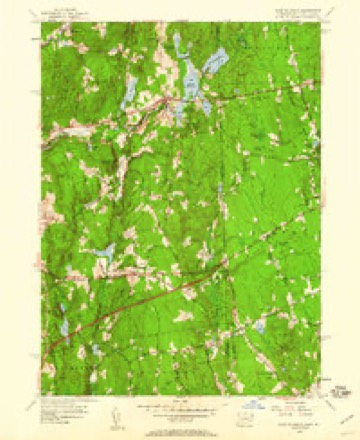
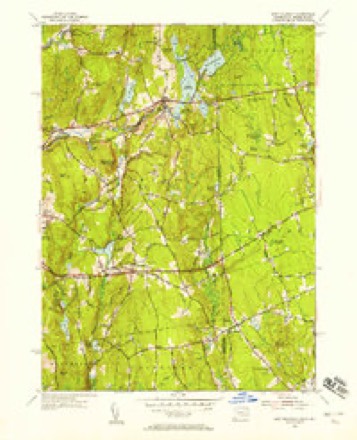
14 surveys from 30 printed sheetsMatched by testing this settlement's coordinate against the published boundary of every sheet in the United States Geological Survey's historical collection. Each opens the scanned sheet at the Survey.
- 1889 USGS Putnam quadrangle1:62500
- 1893 USGS Putnam quadrangle1:62500, 8 printings
- 1919 USGS Putnam quadrangle1:62500
- 1943 USGS Putnam quadrangle1:125000
- 1945 USGS East Killingly quadrangle1:31680, 2 printings
- 1947 USGS Providence quadrangle1:250000, 5 printings
- 1948 USGS Providence quadrangle1:250000
- 1950 USGS East Killingly quadrangle1:31680
- 1955 USGS East Killingly quadrangle1:24000, 5 printings
- 1955 USGS East Killingly quadrangle1:31680
- 1957 USGS Providence quadrangle1:250000
- 1958 USGS Providence quadrangle1:250000
- 1963 USGS Providence quadrangle1:250000
- 1984 USGS Providence quadrangle1:100000







In the county-history sources
42,294 words on this townshipHistory of Windham County, Connecticut .., published 1889 names this settlement in its chapter on Killingly Town. These are the passages that mention it, exactly as the scans read.
At Williamsville on the Quinebaug, in the western border of the town, is a factory village, the initial factory of which was erected by Caleb Williams in 1827. That first mill was what is now the north wing of the mill, in size 144 by 44 feet and four stories high. After Williams the mill was owned by S. & W. Foster. In 1849 they formed a corporation composed of Samuel and William Foster and John Atwood. The company has remained to the present time, except that some of the owner- ship has passed to the heirs of individual owners. The original Samuel Foster, however, is still the president and treasurer of the company. H. C. Atwood is now secretary and assistant treasurer. The present main building is 417 feet long by 49 feet wide and four stories high. Of the length of the building 165 feet was built in 1860, and the remaining 252 feet length was built in 1876. The entire building, old and new, is of stone. It contains .600 Ipoms an,d 23,000 spindles. Cotton shirtings are manufactured. Water is used, and four steam boilers stand ready to do the work when the four water wheels fail to furnish power sufficient. H. C. Atwood is the superintendent of the works. The village which surrounds the mill belongs to the company. There are 105 tenements. A building for school and church has been built by the company for the village. A school is kept by the district in the basement, and the upper room is used for a church. The building was erected about 1868.
Passage source: History of Windham County, Connecticut .., published 1889.
Machine-read from a century-old scan, so expect the errors a machine makes: misspelled names, dropped words, stray characters.
Fires near this place
157 since 1992Regional context, not property-specific evidence. The federal wildfire occurrence database lists 157 fires within 5 miles of Elliotville (historical) between 1992 and 2020, burning about 212 acres in total. None started naturally. 27 were recorded as arson. Distance is straight-line from the map coordinates, so a fire counted here may appear on a neighbouring settlement's page as well.
| Reported cause | Fires |
|---|---|
| Missing data/not specified/undetermined | 89 |
| Arson/incendiarism | 27 |
| Recreation and ceremony | 15 |
| Debris and open burning | 10 |
| Misuse of fire by a minor | 8 |
| Smoking | 5 |
| Railroad operations and maintenance | 2 |
| Equipment and vehicle use | 1 |
The most recent of them, most recent first, with the day each was reported and the service that recorded it.
| Date | Cause | Size | Reported by | Name on the report |
|---|---|---|---|---|
| 8 September 1995 | Missing data/not specified/undetermined | 2.0 acres | Connecticut Division of Forestry | not named |
| 7 September 1995 | Arson/incendiarism | 2.5 acres | Connecticut Division of Forestry | not named |
| 21 September 2020 | Missing data/not specified/undetermined | under an acre | Rhode Island Division of Forest Environment | not named |
| 19 September 2020 | Missing data/not specified/undetermined | under an acre | Connecticut Division of Forestry | 1 CAPRON STREET |
| 16 September 2020 | Missing data/not specified/undetermined | 1.5 acres | Connecticut Division of Forestry | 525 WHITETAIL WAY |
| 16 September 2020 | Recreation and ceremony | under an acre | Connecticut Division of Forestry | 76 ROCK AVE |
| 15 September 2020 | Recreation and ceremony | under an acre | Connecticut Division of Forestry | ROCK AVE |
| 15 September 2020 | Missing data/not specified/undetermined | under an acre | Connecticut Division of Forestry | 15 RIDGE ROAD |
Settlements close enough to share some of these fires:
Mines and quarries near this place
8 within 5 milesRegional context, not property-specific evidence. The federal mineral resources record lists 8 workings within 5 miles of Elliotville (historical): 4 past producers, 3 producers, 1 unknown. 3 still produce. What was taken out: Stone, Dimension, Sand and Gravel, Construction, Stone, Crushed/Broken. Distance is straight-line from the map coordinates, so a quarry counted here may appear on a neighbouring settlement's page as well.
| Where | Site | Commodity | Status | Recorded |
|---|---|---|---|---|
| Connecticut Flat | Stone, Crushed/Broken | Past Producer | ||
| Hughes Stone Company | Stone, Crushed/Broken | Past Producer | ||
| Connecticut Flatstone Quarry | Stone, Dimension | Producer | ||
| Garvey Pit | Sand and Gravel, Construction | Past Producer | Sedimentary | |
| Garvey Pit | Sand and Gravel, Construction | Producer | ||
| Hughes Quarry | Stone, Dimension | Producer | ||
| Quarry | Stone, Dimension | Past Producer | ||
| R.A. Rawson Sand & Gravel, Inc. | Sand and Gravel, Construction | Unknown |
Nearest settlements
The eight closest, with where each one stands in the county. Distances are straight-line, computed from the Geographic Names Information System coordinates.
| Map | Place | Distance | Sheets |
|---|---|---|---|
| East Killingly | 0.8 miles | 30 | |
| Killingly Center | 2.1 miles | 30 | |
| Elmville | 2.6 miles | 30 | |
| Ballouville | 2.9 miles | 23 | |
| Pineville | 3.1 miles | 23 | |
| Dayville | 3.1 miles | 30 | |
| Attawaugan | 3.3 miles | 30 | |
| South Killingly | 3.5 miles | 30 |
Provenance
This settlement is recorded in the Geographic Names Information System as feature 1924387. The sheet list is computed by point-in-boundary test against the United States Geological Survey's historical topographic inventory. Both are works of the United States government and carry no copyright under 17 U.S.C. 105.
Wildfire. Short, Karen C. 2022. Spatial wildfire occurrence data for the United States, 1992-2020 [FPA_FOD_20221014]. 6th Edition. Fort Collins, CO: Forest Service Research Data Archive. https://doi.org/10.2737/RDS-2013-0009.6 Collected with United States Government funding and usable without additional permissions or fees.
Mines and quarries. USGS Mineral Resources Data System (MRDS) https://mrdata.usgs.gov/mrds/ A work of the United States government, no copyright under 17 U.S.C. 105.