 Block
East Bristol, Connecticut
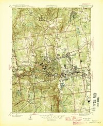
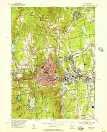
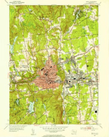
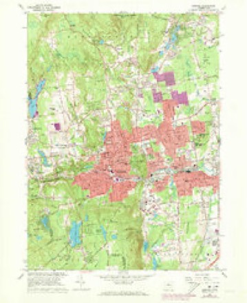
34 topographic sheets cover this place, the earliest surveyed in 1892 and the latest in 1994. It stands in Bristol town. It lies in ZIP code area 06010. It stands on Copper Mine Brook. The Survey maps it on the Bristol quadrangle.
On record in East Bristol
Buildings and businesses the archive holds for this place. Each opens its own page, with the source record it came from.
On the National Register within a mile 2 records
The National Register names another town for these. They stand within one mile of this settlement's coordinate.
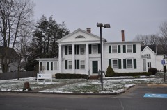 Terry-Hayden Houselisted 1982 · 0.5 miles away
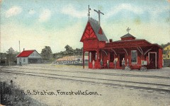 Forestville Passenger Stationlisted 1978 · 0.9 miles away
Topographic sheets covering this place
14 surveys from 34 printed sheetsMatched by testing this settlement's coordinate against the published boundary of every sheet in the United States Geological Survey's historical collection. Each opens the scanned sheet at the Survey.
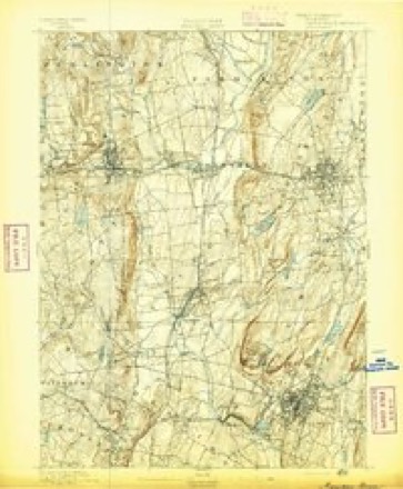
- 1892 USGS Meriden quadrangle1:62500
- 1893 USGS Meriden quadrangle1:62500, 10 printings
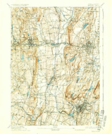
- 1906 USGS Farmington quadrangle1:125000, 2 printings
- 1946 USGS Bristol quadrangle1:31680
- 1947 USGS Hartford quadrangle1:250000, 2 printings
- 1948 USGS Hartford quadrangle1:250000, 2 printings
- 1953 USGS Bristol quadrangle1:24000
- 1953 USGS Bristol quadrangle1:31680, 2 printings
- 1961 USGS Hartford quadrangle1:250000
- 1962 USGS Hartford quadrangle1:250000, 3 printings
- 1965 USGS Hartford quadrangle1:250000, 2 printings
- 1966 USGS Bristol quadrangle1:24000, 4 printings
- 1986 USGS Hartford quadrangle1:100000
- 1994 USGS Hartford quadrangle1:100000, 2 printings








In the county-history sources
9,412 words on this townshipThe Memorial History of Hartford County, Connecticut, 1633-1884;, published 1886 names this settlement in its chapter on Bristol Town. These are the passages that mention it, exactly as the scans read.
This district of Poland was probably in tlie northeastern part of the present town of Bristol, and this record indicates a much greater antiquity to the name of Poland than has been generally ascribed to it. Popular tradition has supposed that the name, which now belongs to a little stream, Poland Brook, in East Bristol, was derived from the name of an Indian who lived upon its bank sixty years later than the date of this record. It may be sui)posed that " their farm at Paquabuck " lay within the present town of Plainville ; with the lapse oi time the name has been moved seven miles toward the west.
Passage source: The Memorial History of Hartford County, Connecticut, 1633-1884;, published 1886.
The mercantile and general prosperity of the town has, of course, kept pace with the development of its manufactures. Most of the early settlers built on what is now called King Street, in East Bristol, and the tavern there became the centre of what business and social life existed. Later, the building of the stage-route transferred the business centre to the north side, and the few stores were grouped about the post-office and tavern on the turnpike road. In the middle of this century the stage-road was succeeded by the railroad, and business again shifted itself to the neighborhood of the railway station, where it has ever since remained. The block of old wooden stores near the station, in which most of our merchants were then located, was burned to the ground in January, 1870. It was immediately replaced by a substantial brick block, but this too was burned in April, 1873. In February of the same year Laporte Hubbell's shop was burned, and in April, only two days after the burning of Nott & Seymour's block, the Forestville Welch & Spring shop was entirely destroyed. The burning of H. A. & A. H. Warner's small shop in May completed a disastrous list of fires. Nott & Seymour's block was rebuilt in the autumn of 1873. It has ceased, however, to be the only or the principal business building, and the centre of the town is now Avell filled with substantial and handsome stores.
Passage source: The Memorial History of Hartford County, Connecticut, 1633-1884;, published 1886.
in East Bristol ; this was undoubtedly the earliest house of which any part now remains. Mr. Barnes's descendants have always remained here, and have been among our best-known families. Mr. Manross's house stood a short distance south of the present dwelling-house
Passage source: The Memorial History of Hartford County, Connecticut, 1633-1884;, published 1886.
Machine-read from a century-old scan, so expect the errors a machine makes: misspelled names, dropped words, stray characters.
Fires near this place
47 since 1994Regional context, not property-specific evidence. The federal wildfire occurrence database lists 47 fires within 5 miles of East Bristol between 1994 and 2020, burning about 184 acres in total. None started naturally. 7 were recorded as arson. Distance is straight-line from the map coordinates, so a fire counted here may appear on a neighbouring settlement's page as well.
| Reported cause | Fires |
|---|---|
| Missing data/not specified/undetermined | 26 |
| Misuse of fire by a minor | 10 |
| Arson/incendiarism | 7 |
| Debris and open burning | 2 |
| Smoking | 1 |
| Recreation and ceremony | 1 |
The most recent of them, most recent first, with the day each was reported and the service that recorded it.
| Date | Cause | Size | Reported by | Name on the report |
|---|---|---|---|---|
| 29 July 2020 | Missing data/not specified/undetermined | under an acre | Connecticut Division of Forestry | 131 MAIN STREET (RT 6) |
| 26 June 1999 | Missing data/not specified/undetermined | under an acre | Connecticut Division of Forestry | not named |
| 11 June 1994 | Misuse of fire by a minor | 5.0 acres | Connecticut Division of Forestry | not named |
| 1 June 1999 | Arson/incendiarism | under an acre | Connecticut Division of Forestry | not named |
| 7 May 2001 | Misuse of fire by a minor | under an acre | Connecticut Division of Forestry | not named |
| 17 May 2020 | Recreation and ceremony | under an acre | Connecticut Division of Forestry | MICHAEL DRIVE |
| 17 May 2017 | Smoking | under an acre | Connecticut Division of Forestry | I-84 NEAR EXIT 32 |
| 17 May 2000 | Missing data/not specified/undetermined | under an acre | Connecticut Division of Forestry | not named |
Settlements close enough to share some of these fires:
Mines and quarries near this place
10 of 40 shownRegional context, not property-specific evidence. The federal mineral resources record lists 40 workings within 5 miles of East Bristol: 25 past producers, 11 producers, 3 unknowns, 1 occurrence. 11 still produce. What was taken out: Sand and Gravel, Construction, Stone, Crushed/Broken, Stone, Dimension, Granite. Distance is straight-line from the map coordinates, so a quarry counted here may appear on a neighbouring settlement's page as well.
| Where | Site | Commodity | Status | Recorded |
|---|---|---|---|---|
| Aiudi Stone Pit and Quarry | Stone | Producer | ||
| Basalt Rock Quarry and Barite Occurrence No. Dj-026 | Stone, Crushed/Broken, Barium-Barite | Producer | Basalt, Prehnite, Quartz | |
| Bristol Copper Mine | Molybdenum, Silver, Copper, Sulfur | Past Producer | 1795, 1836 | |
| Bristol Mine | Copper | Past Producer | ||
| Brownstone Quarry | Flagstone | Past Producer | ||
| Brownstone Quarry | Flagstone | Past Producer | ||
| Dunn Quarry | Granite | Past Producer | ||
| Magnetite Mine | Iron | Past Producer | ||
| Seymour Street Quarry | Granite | Past Producer | ||
| Unnamed Magnetite Occurrence | Iron | Occurrence | Magnetite |
Nearest settlements
The eight closest, with where each one stands in the county. Distances are straight-line, computed from the Geographic Names Information System coordinates.
| Map | Place | Distance | Sheets |
|---|---|---|---|
| Forestville | 0.8 miles | 34 | |
| Bristol | 2.0 miles | 34 | |
| Edgewood | 2.6 miles | 34 | |
| Plainville | 2.9 miles | 38 | |
| Bensted Corner | 3.2 miles | 34 | |
| North End | 4.0 miles | 37 | |
| Farmington Station | 4.6 miles | 38 | |
| Whigville | 4.9 miles | 34 |
Provenance
This settlement is recorded in the Geographic Names Information System as feature 206797. The sheet list is computed by point-in-boundary test against the United States Geological Survey's historical topographic inventory. Both are works of the United States government and carry no copyright under 17 U.S.C. 105.
Wildfire. Short, Karen C. 2022. Spatial wildfire occurrence data for the United States, 1992-2020 [FPA_FOD_20221014]. 6th Edition. Fort Collins, CO: Forest Service Research Data Archive. https://doi.org/10.2737/RDS-2013-0009.6 Collected with United States Government funding and usable without additional permissions or fees.
Mines and quarries. USGS Mineral Resources Data System (MRDS) https://mrdata.usgs.gov/mrds/ A work of the United States government, no copyright under 17 U.S.C. 105.