 Block
Forestville, Connecticut
34 topographic sheets cover this place, the earliest surveyed in 1892 and the latest in 1994. It stands in Bristol town. It lies in ZIP code area 06010. It lies near Hurley Hill. The Survey maps it on the Bristol quadrangle. It stands 266 feet above sea level.
On record in Forestville
Buildings and businesses the archive holds for this place. Each opens its own page, with the source record it came from.
On the National Register within a mile 5 records
The National Register names another town for these. They stand within one mile of this settlement's coordinate.
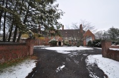 Copper Ledges and Chimney Crestlisted 1992 · 0.7 miles away
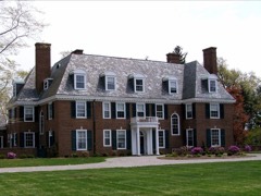 Marlborough Houselisted 1993 · 0.8 miles away
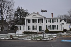 Terry-Hayden Houselisted 1982 · 0.8 miles away
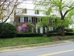 Townsend G. Treadway Houselisted 1991 · 0.9 miles away
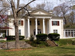 Ernest R. Burwell Houselisted 1992 · 0.9 miles away
Topographic sheets covering this place
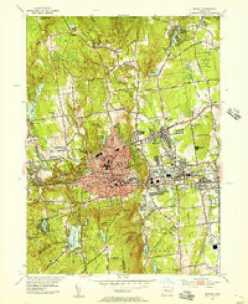
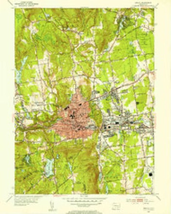
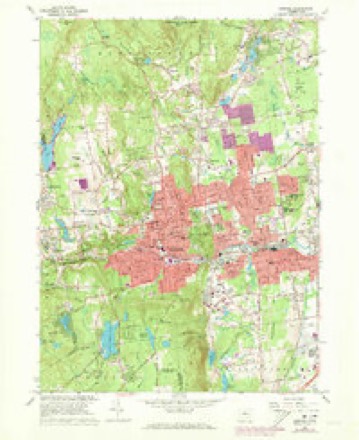
14 surveys from 34 printed sheetsMatched by testing this settlement's coordinate against the published boundary of every sheet in the United States Geological Survey's historical collection. Each opens the scanned sheet at the Survey.
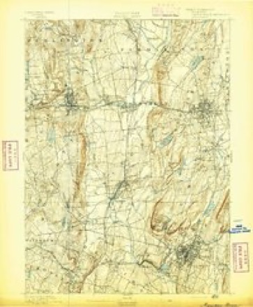
- 1892 USGS Meriden quadrangle1:62500
- 1893 USGS Meriden quadrangle1:62500, 10 printings
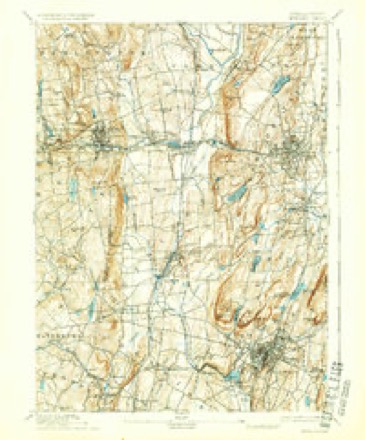
- 1906 USGS Farmington quadrangle1:125000, 2 printings
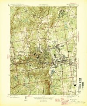
- 1946 USGS Bristol quadrangle1:31680
- 1947 USGS Hartford quadrangle1:250000, 2 printings
- 1948 USGS Hartford quadrangle1:250000, 2 printings
- 1953 USGS Bristol quadrangle1:24000
- 1953 USGS Bristol quadrangle1:31680, 2 printings
- 1961 USGS Hartford quadrangle1:250000
- 1962 USGS Hartford quadrangle1:250000, 3 printings
- 1965 USGS Hartford quadrangle1:250000, 2 printings
- 1966 USGS Bristol quadrangle1:24000, 4 printings
- 1986 USGS Hartford quadrangle1:100000
- 1994 USGS Hartford quadrangle1:100000, 2 printings








In the county-history sources
9,412 words on this townshipThe Memorial History of Hartford County, Connecticut, 1633-1884;, published 1886 names this settlement in its chapter on Bristol Town. These are the passages that mention it, exactly as the scans read.
THE town of Bristol lies in the soutliAvestern part of Hartford County, touching Litchfield County on the west and New Haven on the southwest ; it is bounded north by Burlington, east by Farmington and Plainville, south by Southington and Wolcott, west by Plymouth. From 1806, when the Burlington parish w^as set off from this town, till 1875, when its symmetry was destroyed by the annexation to its territory of a single farm, formerly a part of Southington, it was exactly five miles square. In surface hilly, in soil rocky and somewhat unfertile, it has of necessity become a manufacturing rather than a farming town. With Fall Mountain for its southern boundary. Chippins (modernized form of Cochipianee's) Hill on the northwest, and Federal Hill occupying all the centre, there is left but a narrow valley, sloping down from the higlier land in Terryville to the eastward plains. Through this runs the Pequabuck River, furnishing power for most of tlie larger factories. On the plains, at the east side of the town, lies the village of Forestville, which has come to furnish an important part both of the population and of the business of the town.
Passage source: The Memorial History of Hartford County, Connecticut, 1633-1884;, published 1886.
The settlement of the village of Forestville was begun in 1833 by the firm of Bartholomew, Hills, & Brown. They built a factory at what is now the centre of the village, on the south side of the river, and made wooden clocks there. Mr. Hills and Eli Barnes, one of the workmen, built there, in 1835, the first dwelling-houses. The name of Forestville was selected as appropriate to the little opening in the woods. This factory, after passing through several intermediate hands, became the nucleus of the present business of the E. N. Welch Manufacturing Company. This company was formed in 1864, and has since added to its plant the factories originally built by the Forestville Hardware Company and by the Forestville Machine Company. It has been for several years the leading clock manufactory in Bristol.
Passage source: The Memorial History of Hartford County, Connecticut, 1633-1884;, published 1886.
The firm of Welch, Spring, & Co. was formed in 1868, and has since been engaged in the clock business, making a very high grade of goods. Its business has been done in the Manross shop at Forestville, which was burned down and rebuilt in 1873, and in the old sashfactory at Bristol, which had been occupied for thirty years by Ives & Birge, Case & Birge, and by John Birge alone, in the same business. Mr. Elias Ingraham began manufacturing clocks in 1843 in partnership with Deacon Elislia Brewster. Mr. Ingraham originally came to Bristol in 1827, having been hired by Mr. George Mitchell to design and make clock-cases. He was then twenty-two years old, and a cabinetmaker by trade. Brewster & Ingraham made cases in a shop ])uilt by Ira Ives, and movements in the old " Burwell shop," built by Charles Kirk. This firm was succeeded by E. & A. Ingraham, and the latter, in 1856, by E. Ingraham & Co. The last-named company, having lost the Ira Ives shop by fire, bought and moved ui:)on its site the Bristol Hardware Company's factory, which it still occupies as a movementshop. It afterward bought for a case-shop the old building which, originally the meeting-house of the West Britain society, had been early moved to Bristol and used as a cotton-mill, and afterward by George Mitchell as a clock-case factory. Having reorganized in 1880 as a joint-stock corporation, it is still conducting a prosperous business.
Passage source: The Memorial History of Hartford County, Connecticut, 1633-1884;, published 1886.
Machine-read from a century-old scan, so expect the errors a machine makes: misspelled names, dropped words, stray characters.
Read the whole chapter on Bristol Town - it names this place 4 more 4 times.
Fires near this place
51 since 1994Regional context, not property-specific evidence. The federal wildfire occurrence database lists 51 fires within 5 miles of Forestville between 1994 and 2020, burning about 183 acres in total. None started naturally. 7 were recorded as arson. Distance is straight-line from the map coordinates, so a fire counted here may appear on a neighbouring settlement's page as well.
| Reported cause | Fires |
|---|---|
| Missing data/not specified/undetermined | 27 |
| Misuse of fire by a minor | 10 |
| Arson/incendiarism | 7 |
| Debris and open burning | 4 |
| Recreation and ceremony | 2 |
| Smoking | 1 |
The most recent of them, most recent first, with the day each was reported and the service that recorded it.
| Date | Cause | Size | Reported by | Name on the report |
|---|---|---|---|---|
| 16 September 2020 | Missing data/not specified/undetermined | under an acre | Connecticut Division of Forestry | PINE VIEW CT |
| 26 August 2020 | Missing data/not specified/undetermined | under an acre | Connecticut Division of Forestry | 26 EMMETT STREET |
| 29 July 2020 | Missing data/not specified/undetermined | under an acre | Connecticut Division of Forestry | 131 MAIN STREET (RT 6) |
| 26 June 1999 | Missing data/not specified/undetermined | under an acre | Connecticut Division of Forestry | not named |
| 11 June 1994 | Misuse of fire by a minor | 5.0 acres | Connecticut Division of Forestry | not named |
| 1 June 1999 | Arson/incendiarism | under an acre | Connecticut Division of Forestry | not named |
| 7 May 2001 | Misuse of fire by a minor | under an acre | Connecticut Division of Forestry | not named |
| 17 May 2020 | Recreation and ceremony | under an acre | Connecticut Division of Forestry | MICHAEL DRIVE |
Settlements close enough to share some of these fires:
Mines and quarries near this place
10 of 39 shownRegional context, not property-specific evidence. The federal mineral resources record lists 39 workings within 5 miles of Forestville: 25 past producers, 10 producers, 3 unknowns, 1 occurrence. 10 still produce. What was taken out: Sand and Gravel, Construction, Stone, Crushed/Broken, Stone, Dimension, Granite. Distance is straight-line from the map coordinates, so a quarry counted here may appear on a neighbouring settlement's page as well.
| Where | Site | Commodity | Status | Recorded |
|---|---|---|---|---|
| Aiudi Stone Pit and Quarry | Stone | Producer | ||
| Bristol Copper Mine | Molybdenum, Silver, Copper, Sulfur | Past Producer | 1795, 1836 | |
| Bristol Mine | Copper | Past Producer | ||
| Brownstone Quarry | Flagstone | Past Producer | ||
| Brownstone Quarry | Flagstone | Past Producer | ||
| Dunn Quarry | Granite | Past Producer | ||
| Magnetite Mine | Iron | Past Producer | ||
| Seymour Street Quarry | Granite | Past Producer | ||
| Unnamed Magnetite Occurrence | Iron | Occurrence | Magnetite | |
| Dunn Granite Gneiss Rock Quarry | Stone, Dimension | Past Producer | Unknown |
Storms near this place
10 since 2009Regional context, not property-specific evidence. The National Weather Service names Forestville in 10 storm reports between 2009 and 2024: 5 thunderstorm wind, 4 flash flood, 1 flood. No death or injury is recorded in these reports. Each account below is quoted exactly as the forecast office filed it, from the NOAA Storm Events Database, and each date opens the federal record of that event.
| When | Event | Place named | Harm | What the report says |
|---|---|---|---|---|
| June 2009 | Thunderstorm Wind | Forestville | $100,000 | Many trees near the Interstate 84 corridor were downed by thunderstorm winds. |
| July 2010 | Thunderstorm Wind | Forestville | $50,000 | Numerous trees were downed throughout Plainville by straight line winds. Many of these were downed on Northwest Drive, another onto a car on Cooke Street, and another into a condo unit. |
| November 2020 | Thunderstorm Wind | Forestville | $1,500 | In Bristol, multiple trees were down on Birch Street. |
| June 2024 | Thunderstorm Wind | Forestville | $1,000 | In Plainville, trees were down on Rt 229 and Washington St. |
| June 2024 | Thunderstorm Wind | Forestville | $300 | In Plainville a tree was down on Root Ave. |
| September 2023 | Flash Flood | Forestville | - | In Plainville, Forestville Ave was closed due to significant flooding. |
| September 2023 | Flash Flood | Forestville | - | In Plainfield, there was 3-4 feet of moving water on Hollyberry Ln. |
| September 2023 | Flash Flood | Forestville | - | In Plainville, a car was stuck in floodwaters on Forestville Ave. |
| July 2023 | Flood | Forestville | - | In Bristol, a portion of Rt 229 at Rt 72 was closed due to flooding. |
| September 2023 | Flash Flood | Forestville | - | In Bristol, there was a car stuck in floodwaters on King St. |
Nearest settlements
The eight closest, with where each one stands in the county. Distances are straight-line, computed from the Geographic Names Information System coordinates.
| Map | Place | Distance | Sheets |
|---|---|---|---|
| East Bristol | 0.8 miles | 34 | |
| Bristol | 1.6 miles | 34 | |
| Edgewood | 1.8 miles | 34 | |
| Bensted Corner | 3.0 miles | 34 | |
| Plainville | 3.3 miles | 38 | |
| Whigville | 4.1 miles | 34 | |
| Farmington Station | 4.3 miles | 38 | |
| North End | 4.9 miles | 37 |
Elsewhere
Matched on this settlement's Geographic Names Information System number rather than its name, so it cannot be a different place of the same name in another state.
| Wikidata item Q123371533 | The structured record the population and elevation above come from. Public domain (CC0). |
Provenance
This settlement is recorded in the Geographic Names Information System as feature 207138. The sheet list is computed by point-in-boundary test against the United States Geological Survey's historical topographic inventory. Both are works of the United States government and carry no copyright under 17 U.S.C. 105.
Wildfire. Short, Karen C. 2022. Spatial wildfire occurrence data for the United States, 1992-2020 [FPA_FOD_20221014]. 6th Edition. Fort Collins, CO: Forest Service Research Data Archive. https://doi.org/10.2737/RDS-2013-0009.6 Collected with United States Government funding and usable without additional permissions or fees.
Mines and quarries. USGS Mineral Resources Data System (MRDS) https://mrdata.usgs.gov/mrds/ A work of the United States government, no copyright under 17 U.S.C. 105.
Storms. NOAA National Centers for Environmental Information, Storm Events Database https://www.ncei.noaa.gov/stormevents/ A work of the United States government, no copyright under 17 U.S.C. 105. Narratives are quoted verbatim from the National Weather Service report and are not edited or summarised.