 Block
Plainville, Connecticut
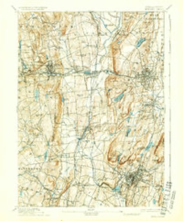
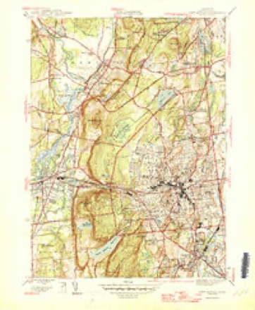
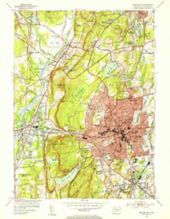
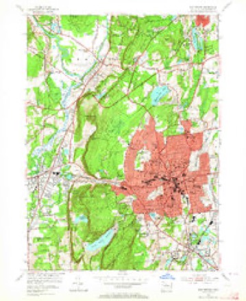
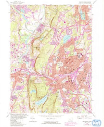
38 topographic sheets cover this place, the earliest surveyed in 1892 and the latest in 1994. It stands in Plainville town. It lies in ZIP code area 06062. It lies near Smut Island (historical). The Survey maps it on the New Britain quadrangle.
On record in Plainville
Buildings and businesses the archive holds for this place. Each opens its own page, with the source record it came from.
On the National Register 3 records
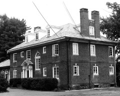 Charles H. Norton HouseNational Historic Landmark · listed 1976
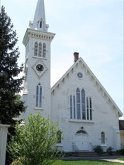 Congregational Church of Plainvillelisted 2012
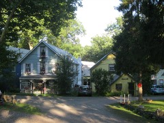 New Haven District Campgroundlisted 1980
Topographic sheets covering this place
14 surveys from 38 printed sheetsMatched by testing this settlement's coordinate against the published boundary of every sheet in the United States Geological Survey's historical collection. Each opens the scanned sheet at the Survey.
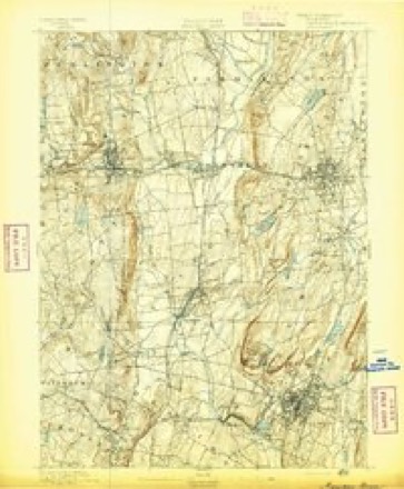
- 1892 USGS Meriden quadrangle1:62500
- 1893 USGS Meriden quadrangle1:62500, 10 printings
- 1906 USGS Farmington quadrangle1:125000, 2 printings
- 1946 USGS New Britain quadrangle1:31680, 2 printings
- 1947 USGS Hartford quadrangle1:250000, 2 printings
- 1948 USGS Hartford quadrangle1:250000, 2 printings
- 1953 USGS New Britain quadrangle1:31680, 2 printings
- 1953 USGS New Britain quadrangle1:24000, 2 printings
- 1961 USGS Hartford quadrangle1:250000
- 1962 USGS Hartford quadrangle1:250000, 3 printings
- 1965 USGS Hartford quadrangle1:250000, 2 printings
- 1966 USGS New Britain quadrangle1:24000, 6 printings
- 1986 USGS Hartford quadrangle1:100000
- 1994 USGS Hartford quadrangle1:100000, 2 printings








In the county-history sources
2,544 words on this townshipThe Memorial History of Hartford County, Connecticut, 1633-1884;, published 1886 names this settlement in its chapter on Plainville Town. These are the passages that mention it, exactly as the scans read.
IN 1869 Plainville was set off from Farmington, where it had been earlier known as the Great Plain, and was incorporated as a town. It is bounded north by Farmington, east by New Britain, south by Southington, west by Bristol, and contains about twelve square miles. The village proper is only about four and a half miles from the business centre of Farmington ; but its history and business interests liad been so separate from those of the town to which it was attached that the legislature of 1869 granted its incorporation, although the place was not even represented in that body as a voting district. The petition was signed by every legal voter, and the division was effected without discord.
Passage source: The Memorial History of Hartford County, Connecticut, 1633-1884;, published 1886.
Plainville is probably the most level township in the State. Nearly all of its area is in the broad open plain lying between the mountain ranges which run north from New Haven harbor to Vermont. Plainville is distant twenty-seven miles from the Sound coast, and twentyfive miles from the Massachusetts line. The whole plain is composed of drift, and seems to be of comparatively recent origin. The shallow, sandy loam of the surface rests on gravel and sand, with here and there a stratum of clay, and the red sandstone lies under all and occasionally crops out. Water is abundant at from six to twenty feet below the surface. The Pequabuck River flows northward from Plainville into the Farmington River just opposite Farmington village, furnishing in its course the water-power for Terry ville, Bristol, and Plainville. On the east side of the plain, about a mile from the Pequabuck valley, is Hamlin's Pond, known in the old records as Big Pond. It is fed by small streams from the north and east, and itself is the source of Quinniitiac River, which flows due south through Southington, Meriden, Wallingford, and North Haven, to New Haven Bay. Thus Plainville rests upon a dividing ridge of water-shed, and is the highest bottom-land along the valley. Its measured altitude is 186 feet above tide-water. It is a current geological belief that the Connecticut River formerly flowed through this valley and was at a comparatively late day diverted by some convulsion near Mount Tom, in Massachusetts.
Passage source: The Memorial History of Hartford County, Connecticut, 1633-1884;, published 1886.
In 1784 John Hamlin for £30 bought 6 acres 16 rods, at White Oak, as the eastern slope was called. He located near what was thereafter called Hamlin's Pond, and his descendants still own much of the land thereabouts. In the same year Chauncy Hills gave £12 for 8 acres and =£16 for 4^ acres, and he was the first man to locate on the broad plains. He entered extensively upon the purchase and cultivation of these lands on the plain, which, though not apparently very fertile, were level and easily tilled. He borrowed money to buy ^^^ * _^^ still more, paid promptly, and in time came JoAa^fV^^^^^ to be the independent owner of more than one ^^ bushels. At his death he left a large and well-tilled farm to his seven sons and daughters. No less than ninety-five of his immediate descendants are now living, of whom thirty-five still reside within the limits of Plainville. His eldest son, the late Elias Hills, brought up a family of eleven children, seven of whom are still J/^^/f/ living, and all of whom are residents of this place. With these exceptions, few of the descendants of the early settlers remain here, and the familynames are found oftener on the headstones of the cemetery than in the homes of the living.
Passage source: The Memorial History of Hartford County, Connecticut, 1633-1884;, published 1886.
Machine-read from a century-old scan, so expect the errors a machine makes: misspelled names, dropped words, stray characters.
Read the whole chapter on Plainville Town - it names this place 11 more 11 times.
Fires near this place
53 since 1993Regional context, not property-specific evidence. The federal wildfire occurrence database lists 53 fires within 5 miles of Plainville between 1993 and 2018, burning about 136 acres in total. None started naturally. 9 were recorded as arson. Distance is straight-line from the map coordinates, so a fire counted here may appear on a neighbouring settlement's page as well.
| Reported cause | Fires |
|---|---|
| Missing data/not specified/undetermined | 28 |
| Misuse of fire by a minor | 12 |
| Arson/incendiarism | 9 |
| Recreation and ceremony | 2 |
| Smoking | 1 |
| Debris and open burning | 1 |
The most recent of them, most recent first, with the day each was reported and the service that recorded it.
| Date | Cause | Size | Reported by | Name on the report |
|---|---|---|---|---|
| 16 August 1993 | Recreation and ceremony | 1.0 acres | Connecticut Division of Forestry | not named |
| 12 August 1999 | Arson/incendiarism | under an acre | Connecticut Division of Forestry | not named |
| 25 July 2016 | Recreation and ceremony | 1.2 acres | Connecticut Division of Forestry | RAGGED MOUNTAIN |
| 26 June 1999 | Missing data/not specified/undetermined | under an acre | Connecticut Division of Forestry | not named |
| 11 June 1994 | Misuse of fire by a minor | 5.0 acres | Connecticut Division of Forestry | not named |
| 1 June 1999 | Arson/incendiarism | under an acre | Connecticut Division of Forestry | not named |
| 7 May 2001 | Misuse of fire by a minor | under an acre | Connecticut Division of Forestry | not named |
| 17 May 2017 | Smoking | under an acre | Connecticut Division of Forestry | I-84 NEAR EXIT 32 |
Settlements close enough to share some of these fires:
Mines and quarries near this place
10 of 42 shownRegional context, not property-specific evidence. The federal mineral resources record lists 42 workings within 5 miles of Plainville: 28 past producers, 11 producers, 1 unknown, 1 occurrence. 12 still produce. What was taken out: Stone, Crushed/Broken, Sand and Gravel, Construction, Stone, Dimension, Flagstone. Distance is straight-line from the map coordinates, so a quarry counted here may appear on a neighbouring settlement's page as well.
| Where | Site | Commodity | Status | Recorded |
|---|---|---|---|---|
| Aiudi Stone Pit and Quarry | Stone | Producer | ||
| Basalt Rock Quarry and Barite Occurrence No. Dj-026 | Stone, Crushed/Broken, Barium-Barite | Producer | Basalt, Prehnite, Quartz | |
| Bristol Copper Mine | Molybdenum, Silver, Copper, Sulfur | Past Producer | 1795, 1836 | |
| Bristol Mine | Copper | Past Producer | ||
| Limestone Quarry No. Dj-002 | Limestone, General, Fluorine-Fluorite | Past Producer | Limestone | |
| Seymour Street Quarry | Granite | Past Producer | ||
| Sphalerite Vein Quartz Occurrence No. Dj-023 | Zinc, Sulfur | Occurrence | Calcite, Prehnite, Quartz, Sphalerite | |
| Brownstone Quarry | Flagstone | Past Producer | ||
| Brownstone Quarry | Flagstone | Past Producer | ||
| Quarry | Stone, Dimension | Past Producer |
Storms near this place
1 since 2007Regional context, not property-specific evidence. The National Weather Service names Plainville in 1 storm report in 2007: 1 thunderstorm wind. No death or injury is recorded in these reports. Each account below is quoted exactly as the forecast office filed it, from the NOAA Storm Events Database, and each date opens the federal record of that event.
| When | Event | Place named | Harm | What the report says |
|---|---|---|---|---|
| July 2007 | Thunderstorm Wind | Plainville | - | Trees and wires down on Camp Street. |
Nearest settlements
The eight closest, with where each one stands in the county. Distances are straight-line, computed from the Geographic Names Information System coordinates.
| Map | Place | Distance | Sheets |
|---|---|---|---|
| Bensted Corner | 2.5 miles | 34 | |
| Pinnacle Heights Housing | 2.5 miles | 38 | |
| East Bristol | 2.9 miles | 34 | |
| Mount Pleasant Housing | 3.0 miles | 38 | |
| Farmington Station | 3.2 miles | 38 | |
| Forestville | 3.3 miles | 34 | |
| Corbin Heights Housing | 3.3 miles | 38 | |
| Farmington | 3.4 miles | 38 |
Provenance
This settlement is recorded in the Geographic Names Information System as feature 209834. The sheet list is computed by point-in-boundary test against the United States Geological Survey's historical topographic inventory. Both are works of the United States government and carry no copyright under 17 U.S.C. 105.
Wildfire. Short, Karen C. 2022. Spatial wildfire occurrence data for the United States, 1992-2020 [FPA_FOD_20221014]. 6th Edition. Fort Collins, CO: Forest Service Research Data Archive. https://doi.org/10.2737/RDS-2013-0009.6 Collected with United States Government funding and usable without additional permissions or fees.
Mines and quarries. USGS Mineral Resources Data System (MRDS) https://mrdata.usgs.gov/mrds/ A work of the United States government, no copyright under 17 U.S.C. 105.
Storms. NOAA National Centers for Environmental Information, Storm Events Database https://www.ncei.noaa.gov/stormevents/ A work of the United States government, no copyright under 17 U.S.C. 105. Narratives are quoted verbatim from the National Weather Service report and are not edited or summarised.