 Block
Kinneytown, Connecticut
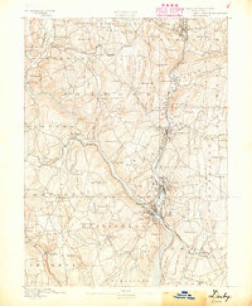
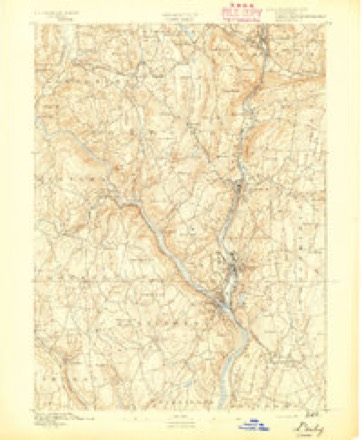
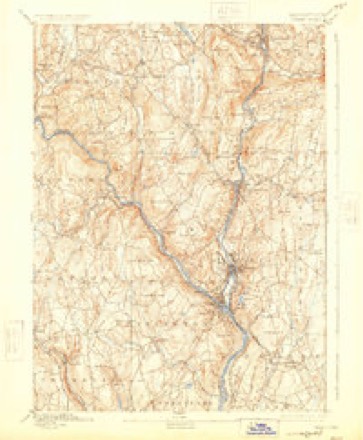
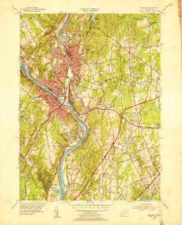
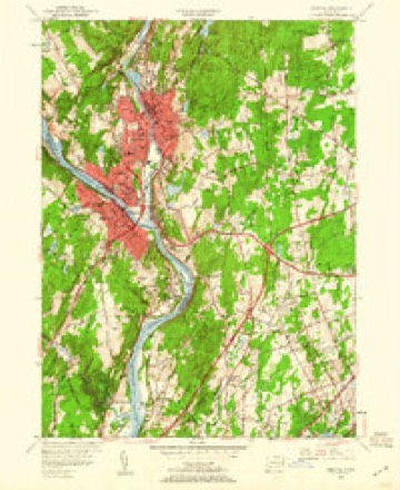
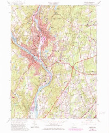
31 topographic sheets cover this place, the earliest surveyed in 1889 and the latest in 1986. It stands in Seymour town. It lies in ZIP code area 06483. It stands on Kinneytown Brook. The Survey maps it on the Ansonia quadrangle.
Topographic sheets covering this place
12 surveys from 31 printed sheetsMatched by testing this settlement's coordinate against the published boundary of every sheet in the United States Geological Survey's historical collection. Each opens the scanned sheet at the Survey.
- 1889 USGS Derby quadrangle1:62500
- 1891 USGS Derby quadrangle1:62500
- 1893 USGS Derby quadrangle1:62500, 9 printings
- 1947 USGS Hartford quadrangle1:250000, 2 printings
- 1948 USGS Hartford quadrangle1:250000, 2 printings
- 1953 USGS Ansonia quadrangle1:31680
- 1953 USGS Ansonia quadrangle1:24000, 2 printings
- 1961 USGS Hartford quadrangle1:250000
- 1962 USGS Hartford quadrangle1:250000, 3 printings
- 1964 USGS Ansonia quadrangle1:24000, 4 printings
- 1965 USGS Hartford quadrangle1:250000, 2 printings
- 1986 USGS Bridgeport quadrangle1:100000, 3 printings






In the county-history sources
31,129 words on this townshipHistory of New Haven County, Connecticut, published 1892 names this settlement in its chapter on Seymour Town. These are the passages that mention it, exactly as the scans read.
In 1837 the auger makers were Walter French, at his West street shop; Gilbert & Wooster, at the corner of Main and Hill streets, and Raymond French, where is now the Day factory, on Bladen's brook. The latter first occupied the shop put up by Newell Johnson, after 1832, and in 1839 and later had Hiram Upson as a partner, when they purchased the property. In 1841 the French auger shops were burned, but were immediately rebuilt. Soon after John Dwight and Timothy Dwight were associated with him, the firm being Raymond French & Co. They extensively manufactured augers, chisels and plane irons, and finding the works too small, sold them in 1845. In the meantime the firm had put some machinery in the building at the mouth of Little river, and with a view of securing more power, Raymond French had, in 1844, built a new dam on the Naugatuck at Kinneytown, between Seymour and Ansonia, but was persuaded to sell that property to Anson G. Phelps. In 1847 French & Dwight commenced the Rimmon pond, building the west wall and abutment. More work was done on it in 1849, when the project appears to have been abandoned. Later the dam was completed by the Rimraon Water Company, which was incorporated July 13th, 1866. The work was placed in charge of Raymond French, who so vigorously pushed it that the pond was completed and the gates closed October 27th, 1867. The dam has an overflow plate 300 feet long, and there is a fall of 19 feet. The entire cost was about $65,000.
Passage source: History of New Haven County, Connecticut, published 1892.
About 1843 he joined John and Timothy Dwight to form the firm of Dwights & French, who became extensive manufacturers of augers, bits, plane irons and other tools. A larger plant was soon needed, and with a view of providing a site and power for it, Mr. French bought the Kinneytown property, below Seymour. In 1844 he built the fine dam at that place, selling the property to Anson G. Phelps in 1845. The same year he bought the property of the Humphreysville Manufacturing Company, and prepared it for his new works. His already large business was much increased in 1849, when two more members were added to the firm, which now became Dwights, French & Co., and the manufacture of railway cars was also begun. Soon after new buildings were added to the already large plant, and their industry became the most important in the place. In 1852 the interests of the firm were divided, the car work being done by the newly formed American Car Company, and the making of tools being continued by the Humphreysville Manufacturing Company, Raymond French being a controlling spirit in both corporations. In 1853 the American Car Company also built large works in Chicago, but in 1855 sold them, and they eventually became the property of the Illinois Central Railroad Company. The same year the company disposed of its interests at Seymour to the Humphreysville Manufacturing Company, of which Raymond French was now the president, and served until the dissolution of the company in 1870. He then secured a third interest in the factories and power of the old Humphreysville company, and engaged in the manufacture of ox shoes, which industry he carried on until failing health compelled him to retire from active life. In this period he had also been identified with many other interests of Seymour, such as the Eagle silk mills, the Humphreysville Copper Company, the Bank of North America, etc. He built the present dam at the lower falls, and had the contract for constructing the Rimmon dam, in 1866. Few public enterprises were begun without receiving his encouragement or support, and whatever he undertook to do he endeavored to push to a successful result.
Passage source: History of New Haven County, Connecticut, published 1892.
Machine-read from a century-old scan, so expect the errors a machine makes: misspelled names, dropped words, stray characters.
Fires near this place
413 since 1992Regional context, not property-specific evidence. The federal wildfire occurrence database lists 413 fires within 5 miles of Kinneytown between 1992 and 2020, burning about 448 acres in total. None started naturally. 97 were recorded as arson. Distance is straight-line from the map coordinates, so a fire counted here may appear on a neighbouring settlement's page as well.
| Reported cause | Fires |
|---|---|
| Missing data/not specified/undetermined | 173 |
| Arson/incendiarism | 97 |
| Recreation and ceremony | 49 |
| Misuse of fire by a minor | 40 |
| Debris and open burning | 38 |
| Smoking | 8 |
| Equipment and vehicle use | 8 |
The most recent of them, most recent first, with the day each was reported and the service that recorded it.
| Date | Cause | Size | Reported by | Name on the report |
|---|---|---|---|---|
| 7 September 2017 | Missing data/not specified/undetermined | under an acre | Connecticut Division of Forestry | HUBBELL AVE |
| 7 September 2002 | Arson/incendiarism | 2.0 acres | Connecticut Division of Forestry | not named |
| 7 September 1994 | Debris and open burning | under an acre | Connecticut Division of Forestry | not named |
| 7 September 1994 | Recreation and ceremony | under an acre | Connecticut Division of Forestry | not named |
| 6 September 1995 | Arson/incendiarism | under an acre | Connecticut Division of Forestry | not named |
| 4 September 2017 | Missing data/not specified/undetermined | under an acre | Connecticut Division of Forestry | DIVISION ST |
| 4 September 2015 | Missing data/not specified/undetermined | under an acre | Connecticut Division of Forestry | not named |
| 3 September 2017 | Missing data/not specified/undetermined | 1.2 acres | Connecticut Division of Forestry | JAY LN |
Settlements close enough to share some of these fires:
Mines and quarries near this place
10 of 48 shownRegional context, not property-specific evidence. The federal mineral resources record lists 48 workings within 5 miles of Kinneytown: 39 past producers, 5 producers, 3 occurrences, 1 unknown. 5 still produce. What was taken out: Stone, Dimension, Sand and Gravel, Construction, Stone, Copper. Distance is straight-line from the map coordinates, so a quarry counted here may appear on a neighbouring settlement's page as well.
| Where | Site | Commodity | Status | Recorded |
|---|---|---|---|---|
| Bassett's Arsenopyrite Mine | Arsenic, Iron, Sulfur, Quartz, Lead, Zinc | Occurrence | Galena, Pyrite, Sphalerite | |
| Booth's Mine | Bismuth | Past Producer | ||
| Davidson Granite Gneiss Rock Quarry | Stone, Crushed/Broken | Past Producer | Unknown | |
| Devils Den Limestone Quarry | Limestone, Dimension | Past Producer | ||
| East Village Monroe Feldspar Pegmatite Quarry | Feldspar, Quartz | Past Producer | Beryl, Columbite, Feldspar, Garnet | |
| Marble Quarry | Marble, Dimension | Past Producer | ||
| Pegmatite Quarry East Village | Beryllium, Feldspar, Mica | Past Producer | ||
| Seymour Arsenic & Nickel Mine | Nickel | Past Producer | ||
| Seymour Nickel Mine Brook Arsenic and Nickel Mine. | Nickel, Arsenic, Iron, Sulfur | Past Producer | ||
| Silver Mine | Silver | Past Producer |
Nearest settlements
The eight closest, with where each one stands in the county. Distances are straight-line, computed from the Geographic Names Information System coordinates.
| Map | Place | Distance | Sheets |
|---|---|---|---|
| Ansonia | 1.6 miles | 31 | |
| West Seymour | 2.0 miles | 35 | |
| Seymour | 2.2 miles | 35 | |
| Derby | 3.2 miles | 31 | |
| East Derby | 3.7 miles | 31 | |
| Pine Bridge | 4.4 miles | 35 | |
| Riverside | 4.5 miles | 32 | |
| Woodbridge | 4.5 miles | 31 |
Provenance
This settlement is recorded in the Geographic Names Information System as feature 1934035. The sheet list is computed by point-in-boundary test against the United States Geological Survey's historical topographic inventory. Both are works of the United States government and carry no copyright under 17 U.S.C. 105.
Wildfire. Short, Karen C. 2022. Spatial wildfire occurrence data for the United States, 1992-2020 [FPA_FOD_20221014]. 6th Edition. Fort Collins, CO: Forest Service Research Data Archive. https://doi.org/10.2737/RDS-2013-0009.6 Collected with United States Government funding and usable without additional permissions or fees.
Mines and quarries. USGS Mineral Resources Data System (MRDS) https://mrdata.usgs.gov/mrds/ A work of the United States government, no copyright under 17 U.S.C. 105.