 Block
Seymour, Connecticut
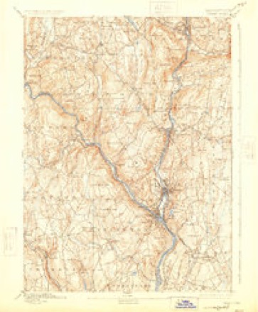
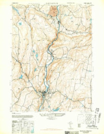
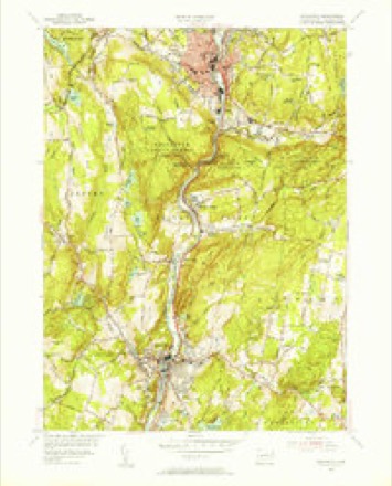
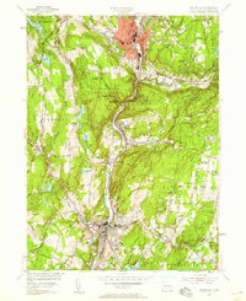
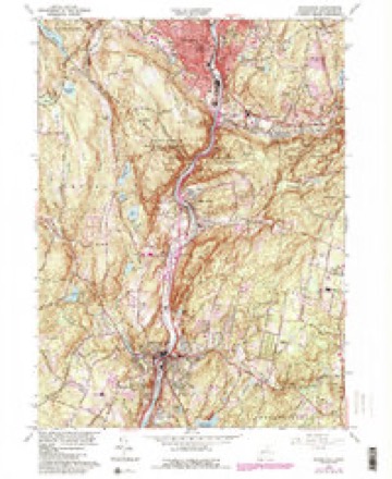
35 topographic sheets cover this place, the earliest surveyed in 1889 and the latest in 1986. It stands in Seymour town. It lies in ZIP code area 06483. It stands on Little River. The Survey maps it on the Naugatuck quadrangle.
On record in Seymour
Buildings and businesses the archive holds for this place. Each opens its own page, with the source record it came from.
On the National Register 3 records
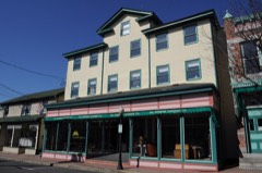 Downtown Seymour Historic Districtlisted 1983
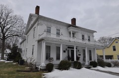 Sanford-Humphreys Houselisted 1982
 Seymour High School and Annexlisted 1983
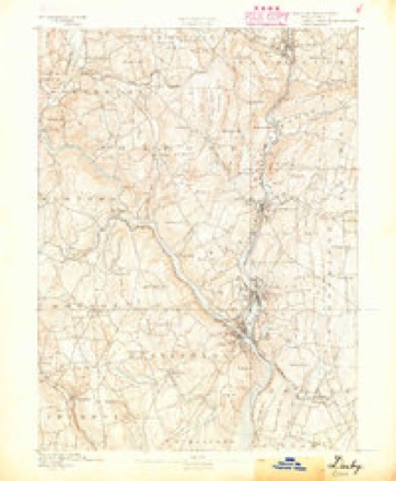
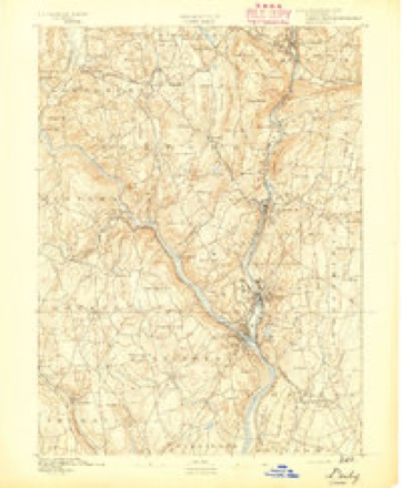
Topographic sheets covering this place
13 surveys from 35 printed sheetsMatched by testing this settlement's coordinate against the published boundary of every sheet in the United States Geological Survey's historical collection. Each opens the scanned sheet at the Survey.
- 1889 USGS Derby quadrangle1:62500
- 1891 USGS Derby quadrangle1:62500
- 1893 USGS Derby quadrangle1:62500, 9 printings
- 1943 USGS Naugatuck quadrangle1:31680, 2 printings
- 1947 USGS Hartford quadrangle1:250000, 2 printings
- 1948 USGS Hartford quadrangle1:250000, 2 printings
- 1954 USGS Naugatuck quadrangle1:31680
- 1954 USGS Naugatuck quadrangle1:24000, 2 printings
- 1961 USGS Hartford quadrangle1:250000
- 1962 USGS Hartford quadrangle1:250000, 3 printings
- 1964 USGS Naugatuck quadrangle1:24000, 6 printings
- 1965 USGS Hartford quadrangle1:250000, 2 printings
- 1986 USGS Bridgeport quadrangle1:100000, 3 printings






In the county-history sources
31,129 words on this townshipHistory of New Haven County, Connecticut, published 1892 names this settlement in its chapter on Seymour Town. These are the passages that mention it, exactly as the scans read.
THE town of Seymour lies south of Oxford and Beacon Falls, west of Bethany and Woodbridge, north of Ansonia and east of the Housatonic river and Oxford. The greater part of this area is in the valley of the Naugatuck, which extends through the center from north to south, and in the valleys along Bladen's brook, from the east, and the Little river from the northwest. In these localities are some level lands, but much of the remainder of the town is broken and hilly. The principal elevations are Rock Rimmon in the north, Indian hill and Castle Rock at the center, and Great hill in the southwest. The latter is a very extensive tract of elevated lands, whose beauty and utility, compared with the surrounding country, were early recognized, and soon after the settlement of the town some choice lots were cleared to form small but good farms. But agriculture has long since ceased to be a leading industry, the chief point of development being the water power of the Naugatuck, at Rimmon falls. At this point the hills bear close upon the river, and a ledge extends twothirds across the stream in such a way as to form a perfect dam, nearly 20 feet in height. The remaining distance being covered with an artificial dam, this forms one of the best powers in the county. It was early known by the name of Naugatuck, or, in the original Indian, Amaug-suck,* meaning the fishing place, where the waters pour down or suck up rapidly. It is believed that the latter is the original term applied by the Indians to this place, the English mistaking the word, as it was pronounced so rapidly in the Indian tongue.
Passage source: History of New Haven County, Connecticut, published 1892.
When the second purchase of lands was made from this tribe, in April, 1678, " the fishing place at Naugatuck and the plains and the hill next the river at the fishing place" were reserved by the Indians, who held the title for that tract more than 100 years longer. The reservation embraced nearly all of what is now the village of Seymour lying east of the Naugatuck. The lands in the purchase ex- tended from the reservation as far east as into Woodbridge, and from Bladen's brook south several miles. The first purchase of Indian lands had been made two months earlier, in 1678, and comprised the tract lying between Bladen's and Lebanon brooks, and east and southeast of Rock Rimmon. The purchaser was Colonel Ebenezer Johnson, of Derby. The third sale of Indian lands in this locality was made in 1692, and David Wooster was the purchaser. The tract embraced lands on the west side of the river, opposite the foregoing, and may have extended from Rock Rimmon southward. North from this point lands were purchased, in 1700, by Ebenezer Johnson and Samuel Riggs, who made a division of their interests in 1708.
Passage source: History of New Haven County, Connecticut, published 1892.
Besides the name of Naugatuck, other Indian names are perpetuated in the names of places or localities in the town. Squantuck is still frequently applied to the southwestern section, on the Housatonic; Hessekee to the meadow in the Great Hill section, and to the brook between Ansonia and Seymour; Skokorat to the ridge a mile east of the Naugatuck and north of Bladen's brook; and Nyumph to the region still further inward from the Naugatuck. Rimmon, as first applied to the hill or rock, and later to the falls, doubtless was derived from a Biblical source. Shrub Oak, the name long given to that part of the town now covered by the village of Seymour, on the west side of the Naugatuck, had its origin in the trees which grew in that locality; Castle Rock, south of the village, from a fancied resemblance to a castle, etc.
Passage source: History of New Haven County, Connecticut, published 1892.
Machine-read from a century-old scan, so expect the errors a machine makes: misspelled names, dropped words, stray characters.
Read the whole chapter on Seymour Town - it names this place 112 more 112 times.
Fires near this place
384 since 1992Regional context, not property-specific evidence. The federal wildfire occurrence database lists 384 fires within 5 miles of Seymour between 1992 and 2020, burning about 614 acres in total. None started naturally. 70 were recorded as arson. Distance is straight-line from the map coordinates, so a fire counted here may appear on a neighbouring settlement's page as well.
| Reported cause | Fires |
|---|---|
| Missing data/not specified/undetermined | 217 |
| Arson/incendiarism | 70 |
| Debris and open burning | 37 |
| Recreation and ceremony | 36 |
| Misuse of fire by a minor | 16 |
| Smoking | 6 |
| Equipment and vehicle use | 2 |
The most recent of them, most recent first, with the day each was reported and the service that recorded it.
| Date | Cause | Size | Reported by | Name on the report |
|---|---|---|---|---|
| 7 September 2017 | Missing data/not specified/undetermined | under an acre | Connecticut Division of Forestry | HUBBELL AVE |
| 7 September 2004 | Missing data/not specified/undetermined | under an acre | Connecticut Division of Forestry | not named |
| 7 September 2002 | Arson/incendiarism | 2.0 acres | Connecticut Division of Forestry | not named |
| 7 September 1994 | Debris and open burning | under an acre | Connecticut Division of Forestry | not named |
| 7 September 1994 | Recreation and ceremony | under an acre | Connecticut Division of Forestry | not named |
| 6 September 1995 | Arson/incendiarism | under an acre | Connecticut Division of Forestry | not named |
| 4 September 2017 | Missing data/not specified/undetermined | under an acre | Connecticut Division of Forestry | DIVISION ST |
| 4 September 2015 | Missing data/not specified/undetermined | under an acre | Connecticut Division of Forestry | not named |
Settlements close enough to share some of these fires:
Mines and quarries near this place
10 of 30 shownRegional context, not property-specific evidence. The federal mineral resources record lists 30 workings within 5 miles of Seymour: 21 past producers, 5 producers, 3 occurrences, 1 unknown. 5 still produce. What was taken out: Sand and Gravel, Construction, Copper, Stone, Dimension, Stone. Distance is straight-line from the map coordinates, so a quarry counted here may appear on a neighbouring settlement's page as well.
| Where | Site | Commodity | Status | Recorded |
|---|---|---|---|---|
| Bassett's Arsenopyrite Mine | Arsenic, Iron, Sulfur, Quartz, Lead, Zinc | Occurrence | Galena, Pyrite, Sphalerite | |
| Davidson Granite Gneiss Rock Quarry | Stone, Crushed/Broken | Past Producer | Unknown | |
| Marble Lime Rock Quarry No. Ek-009 | Limestone, General | Past Producer | Marble | |
| Marble Quarry | Marble, Dimension | Past Producer | ||
| Seymour Arsenic & Nickel Mine | Nickel | Past Producer | ||
| Seymour Nickel Mine Brook Arsenic and Nickel Mine. | Nickel, Arsenic, Iron, Sulfur | Past Producer | ||
| Silver Mine | Silver | Past Producer | ||
| Bassett Arsenopyrite Mine | Arsenic | Past Producer | ||
| Copper Occurrences No. Ek-003 | Copper, Iron | Occurrence | Disseminations In Metamor | |
| Copper Prospect No. Ek-002 | Copper, Iron | Occurrence | Disseminations In Metamor |
Storms near this place
14 since 1998Regional context, not property-specific evidence. The National Weather Service names Seymour in 14 storm reports between 1998 and 2024: 7 thunderstorm wind, 4 flash flood, 3 lightning. The reports record 1 injury. Each account below is quoted exactly as the forecast office filed it, from the NOAA Storm Events Database, and each date opens the federal record of that event.
| When | Event | Place named | Harm | What the report says |
|---|---|---|---|---|
| June 2011 | Lightning | Seymour | 1 hurt | Lightning struck a women at Red Clover Farms in Seymour. |
| August 1998 | Lightning | Seymour | $90,000 | no account filed |
| July 2011 | Thunderstorm Wind | Seymour | $15,000 | A large tree fell across Route 67 between McDonald's and Allen's Plumbing in Seymour, bringing down three utility poles and multiple wires. The tree fell on a car on Route 67, trapping the occupants. |
| June 2015 | Thunderstorm Wind | Seymour | $7,500 | Multiple large trees were reported down along Meadow Woods Road in Seymour. |
| June 2011 | Thunderstorm Wind | Seymour | $7,500 | Numerous trees were reported down in Seymour. |
| July 2017 | Thunderstorm Wind | Seymour | $5,000 | Multiple trees and wires were reported down along Prospect and Beaver Streets in Ansonia. |
| August 2011 | Thunderstorm Wind | Seymour | $2,000 | A tree and some wires were reported down in Seymour, including at the intersection of Route 67 and River Street, and along Route 313. |
| June 2024 | Thunderstorm Wind | Seymour | $1,000 | Trees blocking Moss Avenue. |
| August 2024 | Flash Flood | Seymour | - | Route 34 closed at Jefferson Street because of a mudslide. |
| August 2024 | Flash Flood | Seymour | - | Picture on social media of train tracks undermined on the Waterbury branch of the Metro-North New Haven line near Seymour. |
| August 2022 | Flash Flood | Seymour | - | Northbound 22 entrance ramp to Route 8 in Seymour CT impassible due to flooding. |
| August 2004 | Lightning | Seymour | - | Lightning struck several houses causing an unknown amount of damage. |
| August 2003 | Flash Flood | Seymour | - | As a cluster of thunderstorms and heavy showers moved slowly southeast, torrential rain caused flash flooding of parts of Route 8 in Seymour. This was reported by the broadcast media. |
| June 2001 | Thunderstorm Wind | Seymour | - | no account filed |
Nearest settlements
The eight closest, with where each one stands in the county. Distances are straight-line, computed from the Geographic Names Information System coordinates.
| Map | Place | Distance | Sheets |
|---|---|---|---|
| West Seymour | 0.3 miles | 35 | |
| Pine Bridge | 2.2 miles | 35 | |
| Kinneytown | 2.2 miles | 31 | |
| Beacon Falls | 3.3 miles | 35 | |
| Oxford | 3.4 miles | 35 | |
| Ansonia | 3.5 miles | 31 | |
| Paynes Corners | 4.2 miles | 35 | |
| Bethany | 4.5 miles | 34 |
Provenance
This settlement is recorded in the Geographic Names Information System as feature 210763. The sheet list is computed by point-in-boundary test against the United States Geological Survey's historical topographic inventory. Both are works of the United States government and carry no copyright under 17 U.S.C. 105.
Wildfire. Short, Karen C. 2022. Spatial wildfire occurrence data for the United States, 1992-2020 [FPA_FOD_20221014]. 6th Edition. Fort Collins, CO: Forest Service Research Data Archive. https://doi.org/10.2737/RDS-2013-0009.6 Collected with United States Government funding and usable without additional permissions or fees.
Mines and quarries. USGS Mineral Resources Data System (MRDS) https://mrdata.usgs.gov/mrds/ A work of the United States government, no copyright under 17 U.S.C. 105.
Storms. NOAA National Centers for Environmental Information, Storm Events Database https://www.ncei.noaa.gov/stormevents/ A work of the United States government, no copyright under 17 U.S.C. 105. Narratives are quoted verbatim from the National Weather Service report and are not edited or summarised.