 Block
North Hollow, Connecticut
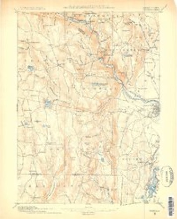
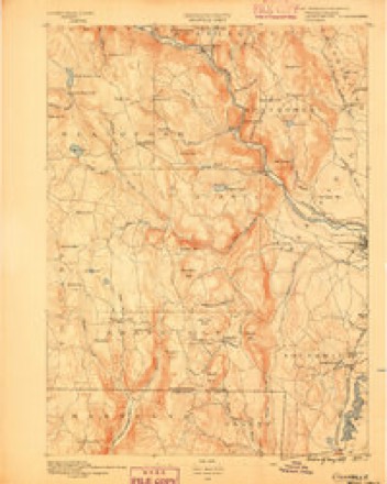
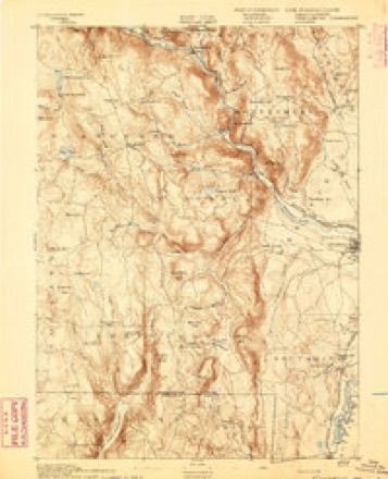
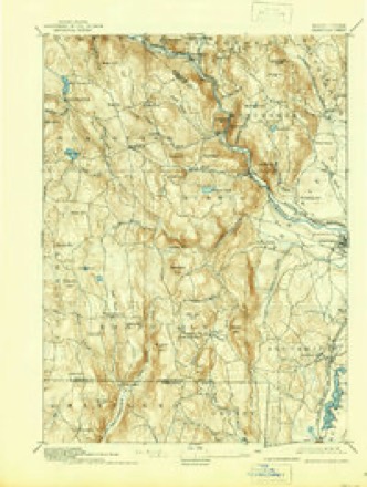
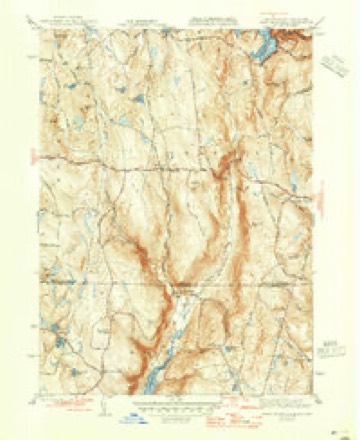
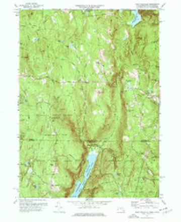
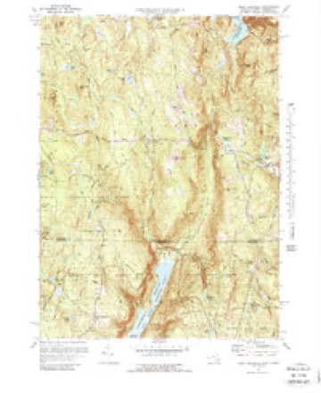
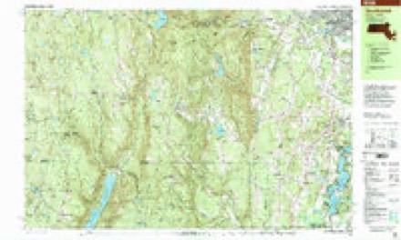
39 topographic sheets cover this place, the earliest surveyed in 1887 and the latest in 1997. It stands in Hartland town. It lies in ZIP code area 06091. It lies near Twining Hollow. The Survey maps it on the West Granville quadrangle.
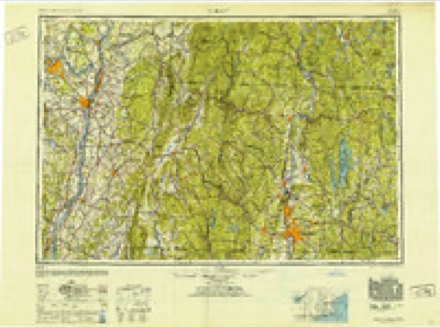
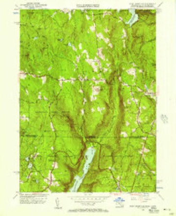
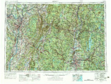
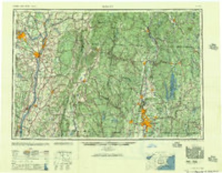
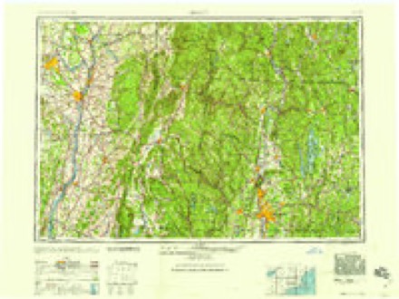
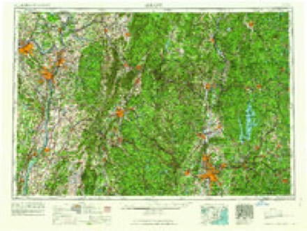
Topographic sheets covering this place
21 surveys from 39 printed sheetsMatched by testing this settlement's coordinate against the published boundary of every sheet in the United States Geological Survey's historical collection. Each opens the scanned sheet at the Survey.
- 1887 USGS Granville quadrangle1:62500
- 1889 USGS Granville quadrangle1:62500
- 1893 USGS Granville quadrangle1:62500
- 1895 USGS Granville quadrangle1:62500, 8 printings
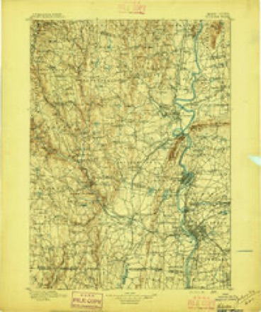
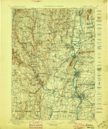
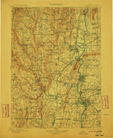
- 1896 USGS Holyoke quadrangle1:125000
- 1897 USGS Holyoke quadrangle1:125000
- 1901 USGS Holyoke quadrangle1:125000, 4 printings
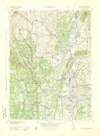
- 1943 USGS Holyoke quadrangle1:125000
- 1946 USGS West Granville quadrangle1:31680, 2 printings
- 1948 USGS Albany quadrangle1:250000
- 1955 USGS West Granville quadrangle1:24000, 2 printings
- 1956 USGS Albany quadrangle1:250000, 2 printings
- 1957 USGS Albany quadrangle1:250000
- 1959 USGS Albany quadrangle1:250000
- 1962 USGS Albany quadrangle1:250000
- 1971 USGS West Granville quadrangle1:24000, 4 printings
- 1971 USGS West Granville quadrangle1:25000, 2 printings
- 1975 USGS West Granville quadrangle1:25000
- 1985 USGS Holyoke quadrangle1:100000, 2 printings
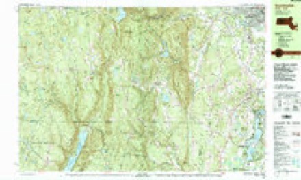
- 1987 USGS Southwick quadrangle1:25000
- 1997 USGS Southwick quadrangle1:25000
In the county-history sources
2,505 words on this townshipThe Memorial History of Hartford County, Connecticut, 1633-1884;, published 1886 names this settlement in its chapter on Hartland Town. These are the passages that mention it, exactly as the scans read.
In manufacturing, Hartland has had the usual run of grist-mills, saw-mills, and fulling-mills, and besides these, wagon-shops, tanneries, a print-factory, and a paper-mill. Uriel Holmes built the first saw and grist mill in the North Hollow on the east branch of the Farmington. In 1777 Stephen Bushnell built a grist-mill on Mill Brook, and also a saw-mill. There was another saw-mill higher up the same brook. Samuel E. Woodbridge in 1818 built the saw-mill now owned by Watson E. French. S. Roberts has a saw-mill on the East Mountain. These and portable steam-mills have largely reduced the amount of timber. Most of the mills have gone to decay. Thomas Fuller, and afterward his son Luther, had a fulling and clothiers' mill in the North Hollow. Thomas Sugden had a tannery in East Hartland, and Deodate
Passage source: The Memorial History of Hartford County, Connecticut, 1633-1884;, published 1886.
Machine-read from a century-old scan, so expect the errors a machine makes: misspelled names, dropped words, stray characters.
Fires near this place
37 since 1999Regional context, not property-specific evidence. The federal wildfire occurrence database lists 37 fires within 5 miles of North Hollow between 1999 and 2020, burning about 76 acres in total. 1 started naturally. 1 was recorded as arson. Distance is straight-line from the map coordinates, so a fire counted here may appear on a neighbouring settlement's page as well.
| Reported cause | Fires |
|---|---|
| Missing data/not specified/undetermined | 22 |
| Recreation and ceremony | 5 |
| Debris and open burning | 4 |
| Equipment and vehicle use | 3 |
| Arson/incendiarism | 1 |
| Natural | 1 |
| Power generation/transmission/distribution | 1 |
The most recent of them, most recent first, with the day each was reported and the service that recorded it.
| Date | Cause | Size | Reported by | Name on the report |
|---|---|---|---|---|
| 20 September 2010 | Recreation and ceremony | under an acre | Connecticut Division of Forestry | not named |
| 30 August 2019 | Missing data/not specified/undetermined | under an acre | Connecticut Division of Forestry | not named |
| 25 July 1999 | Arson/incendiarism | 15 acres | Connecticut Division of Forestry | not named |
| 1 July 2020 | Recreation and ceremony | under an acre | Connecticut Division of Forestry | 280 SUNSET ROAD |
| 9 June 2020 | Recreation and ceremony | under an acre | Connecticut Division of Forestry | WALNUT HILL ROAD |
| 27 June 2015 | Missing data/not specified/undetermined | under an acre | Connecticut Division of Forestry | not named |
| 23 June 2015 | Missing data/not specified/undetermined | under an acre | Connecticut Division of Forestry | not named |
| 19 June 2020 | Power generation/transmission/distribution | under an acre | Connecticut Division of Forestry | GRANVILLE ROAD/ RT 189 |
Settlements close enough to share some of these fires:
Mines and quarries near this place
6 within 5 milesRegional context, not property-specific evidence. The federal mineral resources record lists 6 workings within 5 miles of North Hollow: 4 past producers, 2 producers. 2 still produce. What was taken out: Talc-Soapstone, Feldspar, Quartz, Stone, Dimension, Mica. Distance is straight-line from the map coordinates, so a quarry counted here may appear on a neighbouring settlement's page as well.
| Where | Site | Commodity | Status | Recorded |
|---|---|---|---|---|
| Granville Pit | Sand and Gravel, Construction | Producer | ||
| Mica Mines | Mica | Past Producer | ||
| Pegmatite Prospect No. Di-002 | Feldspar, Quartz | Past Producer | Feldspar | |
| Pegmatite Quarry | Stone, Dimension | Past Producer | ||
| Soapstone Quarry | Talc-Soapstone | Producer | Metamorphic | |
| Soapstone Quarry | Talc-Soapstone | Past Producer |
Nearest settlements
The eight closest, with where each one stands in the county. Distances are straight-line, computed from the Geographic Names Information System coordinates.
| Map | Place | Distance | Sheets |
|---|---|---|---|
| East Hartland | 2.7 miles | 31 | |
| West Hartland | 2.8 miles | 39 | |
| Hartland | 3.7 miles | 31 | |
| North Granby | 5.9 miles | 31 | |
| Hampsted | 6.1 miles | 31 | |
| West Granby | 7.1 miles | 31 | |
| Goodrichville | 7.3 miles | 31 | |
| Five Points | 7.6 miles | 31 |
Provenance
This settlement is recorded in the Geographic Names Information System as feature 212528. The sheet list is computed by point-in-boundary test against the United States Geological Survey's historical topographic inventory. Both are works of the United States government and carry no copyright under 17 U.S.C. 105.
Wildfire. Short, Karen C. 2022. Spatial wildfire occurrence data for the United States, 1992-2020 [FPA_FOD_20221014]. 6th Edition. Fort Collins, CO: Forest Service Research Data Archive. https://doi.org/10.2737/RDS-2013-0009.6 Collected with United States Government funding and usable without additional permissions or fees.
Mines and quarries. USGS Mineral Resources Data System (MRDS) https://mrdata.usgs.gov/mrds/ A work of the United States government, no copyright under 17 U.S.C. 105.