 Block
West Hartland, Connecticut
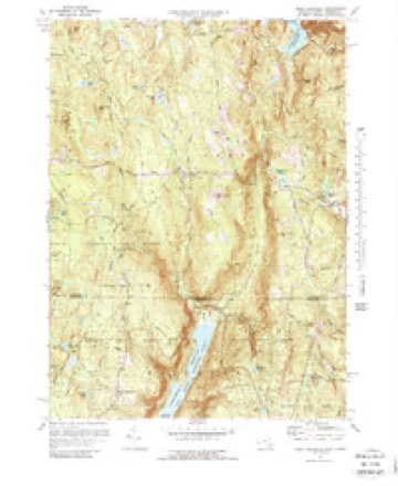
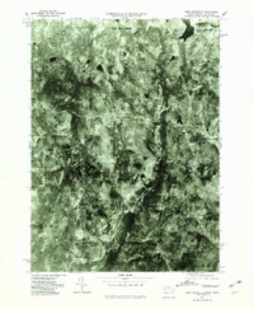
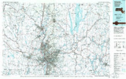
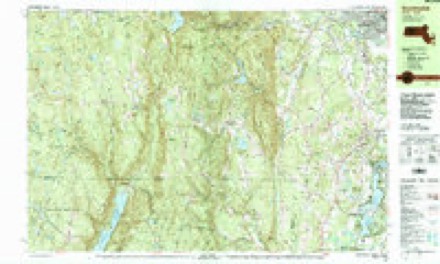
39 topographic sheets cover this place, the earliest surveyed in 1887 and the latest in 1997. It stands in Hartland town. It lies in ZIP code area 06091. It lies near Booth Hill. The Survey maps it on the West Granville quadrangle. It stands 1,161 feet above sea level.
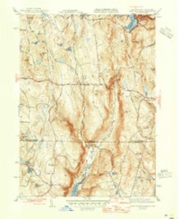
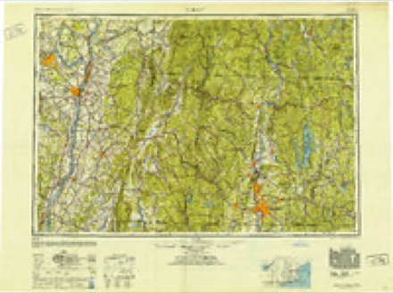
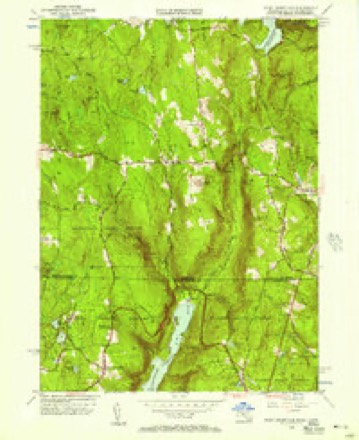
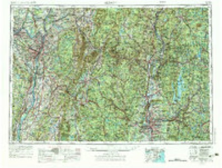
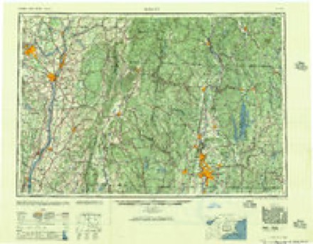
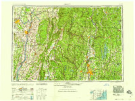
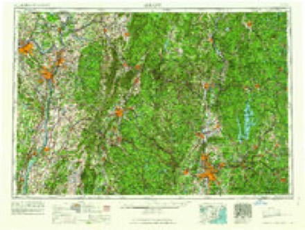
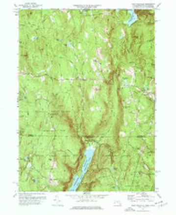
Topographic sheets covering this place
21 surveys from 39 printed sheetsMatched by testing this settlement's coordinate against the published boundary of every sheet in the United States Geological Survey's historical collection. Each opens the scanned sheet at the Survey.
- 1887 USGS Granville quadrangle1:62500
- 1889 USGS Granville quadrangle1:62500
- 1893 USGS Granville quadrangle1:62500
- 1895 USGS Granville quadrangle1:62500, 8 printings
- 1896 USGS Holyoke quadrangle1:125000
- 1897 USGS Holyoke quadrangle1:125000
- 1901 USGS Holyoke quadrangle1:125000, 4 printings
- 1943 USGS Holyoke quadrangle1:125000
- 1946 USGS West Granville quadrangle1:31680, 2 printings
- 1948 USGS Albany quadrangle1:250000
- 1955 USGS West Granville quadrangle1:24000, 2 printings
- 1956 USGS Albany quadrangle1:250000, 2 printings
- 1957 USGS Albany quadrangle1:250000
- 1959 USGS Albany quadrangle1:250000
- 1962 USGS Albany quadrangle1:250000
- 1971 USGS West Granville quadrangle1:24000, 4 printings
- 1971 USGS West Granville quadrangle1:25000, 2 printings
- 1975 USGS West Granville quadrangle1:25000
- 1985 USGS Holyoke quadrangle1:100000, 2 printings
- 1987 USGS Southwick quadrangle1:25000
- 1997 USGS Southwick quadrangle1:25000
In the county-history sources
2,505 words on this townshipThe Memorial History of Hartford County, Connecticut, 1633-1884;, published 1886 names this settlement in its chapter on Hartland Town. These are the passages that mention it, exactly as the scans read.
The first doctor in the town was Dr. Jeremiah Emmons, who came from East Haddam and settled in East Hartland. In 1775 Uriah Hyde, from Windsor, built the first blacksmith's shop in West Hartland, thouo-h before this, Jehiel Meacham had worked at the trade in East Hartland. The first tavern in the west parish was kept by Eldad Shepherd, who came from Hartford in 1770. About 1780 two brothers, Caleb and Timothy Olmsted, came from East Hartford to West Hartland. Timothy Olmsted was considered the most popular teacher and composer of church music in Connecticut at that time. He published a work of church music, " The Musical Oho," containing many original tunes, such as London, Vernon, etc., long familiar to lovers of church music.
Passage source: The Memorial History of Hartford County, Connecticut, 1633-1884;, published 1886.
The first post-office was located at East Hartland ; the second in West Hartland in 1827. First there was a weekly mail from West Hartland by Barkhamsted, North Canton, Simsbury, to Hartford. In 1850 this was made a semi-weekly service. In 1879 a daily mail was established between New Hartford and West Hartland, and Hartland Centre (the Hollow) was also made a post-office. It has four mails a week. The others have theirs daily.
Passage source: The Memorial History of Hartford County, Connecticut, 1633-1884;, published 1886.
In 1782, the custom was established of holding town-meetings alternately in East and West Hartland. This held until 1860. In 1859 the town voted to build its own town-hall at the Hollow, near the geographical centre ; Jonathan A. Miller gave the land for the site, and other citizens contributed liberallv. The first meeting was held in it in October, 1860.
Passage source: The Memorial History of Hartford County, Connecticut, 1633-1884;, published 1886.
Machine-read from a century-old scan, so expect the errors a machine makes: misspelled names, dropped words, stray characters.
Read the whole chapter on Hartland Town - it names this place 2 more 2 times.
Fires near this place
57 since 1999Regional context, not property-specific evidence. The federal wildfire occurrence database lists 57 fires within 5 miles of West Hartland between 1999 and 2020, burning about 98 acres in total. 1 started naturally. 1 was recorded as arson. Distance is straight-line from the map coordinates, so a fire counted here may appear on a neighbouring settlement's page as well.
| Reported cause | Fires |
|---|---|
| Missing data/not specified/undetermined | 42 |
| Recreation and ceremony | 8 |
| Debris and open burning | 5 |
| Arson/incendiarism | 1 |
| Natural | 1 |
The most recent of them, most recent first, with the day each was reported and the service that recorded it.
| Date | Cause | Size | Reported by | Name on the report |
|---|---|---|---|---|
| 24 September 2019 | Missing data/not specified/undetermined | under an acre | Connecticut Division of Forestry | not named |
| 20 September 2010 | Recreation and ceremony | under an acre | Connecticut Division of Forestry | not named |
| 18 September 2010 | Recreation and ceremony | under an acre | Connecticut Division of Forestry | not named |
| 12 September 2010 | Recreation and ceremony | under an acre | Connecticut Division of Forestry | not named |
| 30 August 2019 | Missing data/not specified/undetermined | under an acre | Connecticut Division of Forestry | not named |
| 28 August 2011 | Missing data/not specified/undetermined | under an acre | Connecticut Division of Forestry | COLEBROOK |
| 25 July 1999 | Arson/incendiarism | 15 acres | Connecticut Division of Forestry | not named |
| 2 July 2010 | Recreation and ceremony | under an acre | Connecticut Division of Forestry | not named |
Settlements close enough to share some of these fires:
Mines and quarries near this place
3 within 5 milesRegional context, not property-specific evidence. The federal mineral resources record lists 3 workings within 5 miles of West Hartland: 2 past producers, 1 producer. 1 still produces. What was taken out: Talc-Soapstone, Mica. Distance is straight-line from the map coordinates, so a quarry counted here may appear on a neighbouring settlement's page as well.
| Where | Site | Commodity | Status | Recorded |
|---|---|---|---|---|
| Mica Mines | Mica | Past Producer | ||
| Soapstone Quarry | Talc-Soapstone | Producer | Metamorphic | |
| Soapstone Quarry | Talc-Soapstone | Past Producer |
Storms near this place
1 since 2011Regional context, not property-specific evidence. The National Weather Service names West Hartland in 1 storm report in 2011: 1 hail. No death or injury is recorded in these reports. Each account below is quoted exactly as the forecast office filed it, from the NOAA Storm Events Database, and each date opens the federal record of that event.
| When | Event | Place named | Harm | What the report says |
|---|---|---|---|---|
| August 2011 | Hail | West Hartland | - | no account filed |
Nearest settlements
The eight closest, with where each one stands in the county. Distances are straight-line, computed from the Geographic Names Information System coordinates.
| Map | Place | Distance | Sheets |
|---|---|---|---|
| Hartland | 0.9 miles | 31 | |
| North Hollow | 2.8 miles | 39 | |
| East Hartland | 3.5 miles | 31 | |
| Hampsted | 5.6 miles | 31 | |
| North Granby | 7.5 miles | 31 | |
| West Granby | 7.7 miles | 31 | |
| Goodrichville | 8.6 miles | 31 | |
| North Canton | 8.6 miles | 31 |
Elsewhere
Matched on this settlement's Geographic Names Information System number rather than its name, so it cannot be a different place of the same name in another state.
| Wikipedia article on West Hartland | An encyclopaedic summary. Its text is share-alike, so it is linked here rather than copied. |
| Wikidata item Q126722302 | The structured record the population and elevation above come from. Public domain (CC0). |
Provenance
This settlement is recorded in the Geographic Names Information System as feature 212588. The sheet list is computed by point-in-boundary test against the United States Geological Survey's historical topographic inventory. Both are works of the United States government and carry no copyright under 17 U.S.C. 105.
Wildfire. Short, Karen C. 2022. Spatial wildfire occurrence data for the United States, 1992-2020 [FPA_FOD_20221014]. 6th Edition. Fort Collins, CO: Forest Service Research Data Archive. https://doi.org/10.2737/RDS-2013-0009.6 Collected with United States Government funding and usable without additional permissions or fees.
Mines and quarries. USGS Mineral Resources Data System (MRDS) https://mrdata.usgs.gov/mrds/ A work of the United States government, no copyright under 17 U.S.C. 105.
Storms. NOAA National Centers for Environmental Information, Storm Events Database https://www.ncei.noaa.gov/stormevents/ A work of the United States government, no copyright under 17 U.S.C. 105. Narratives are quoted verbatim from the National Weather Service report and are not edited or summarised.