 Block
From the record
9 National Register listings published here.
Sources: the National Register database, National Park Service
69 topographic sheets cover 24 settlements here, and 9 properties are on the National Register of Historic Places.
9 National Register listings published here.
Sources: the National Register database, National Park Service
Taken for the Office of War Information and the Farm Security Administration, who photographed the country between 1935 and 1944. Works of United States government photographers, with no known restriction on use. Each opens its catalogue record.
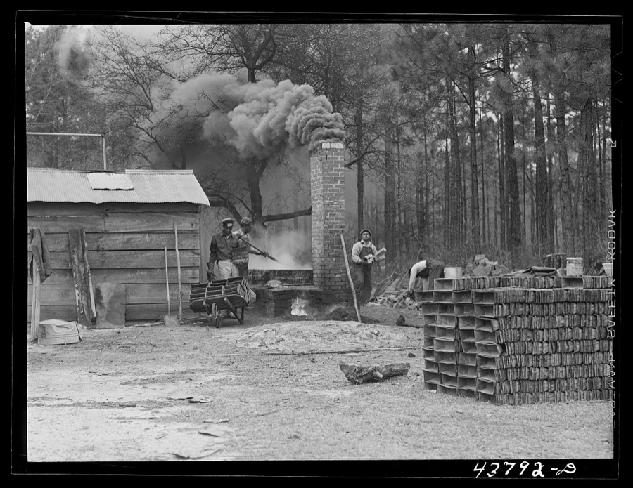
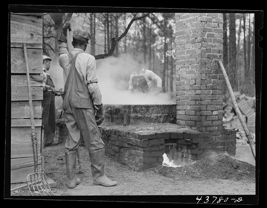

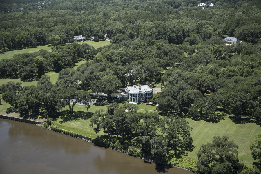
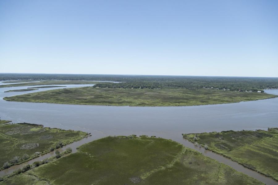

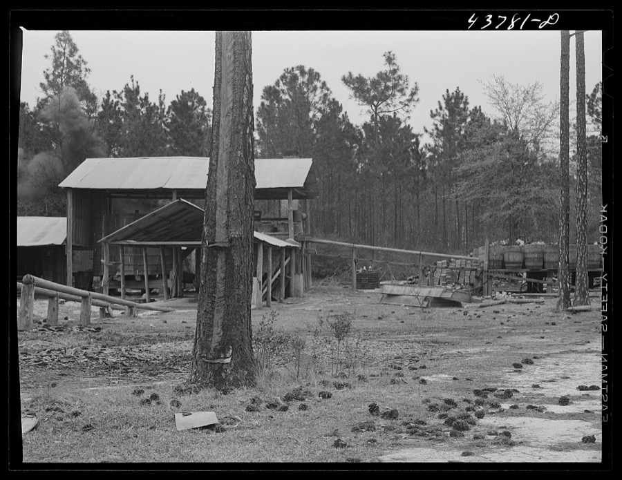
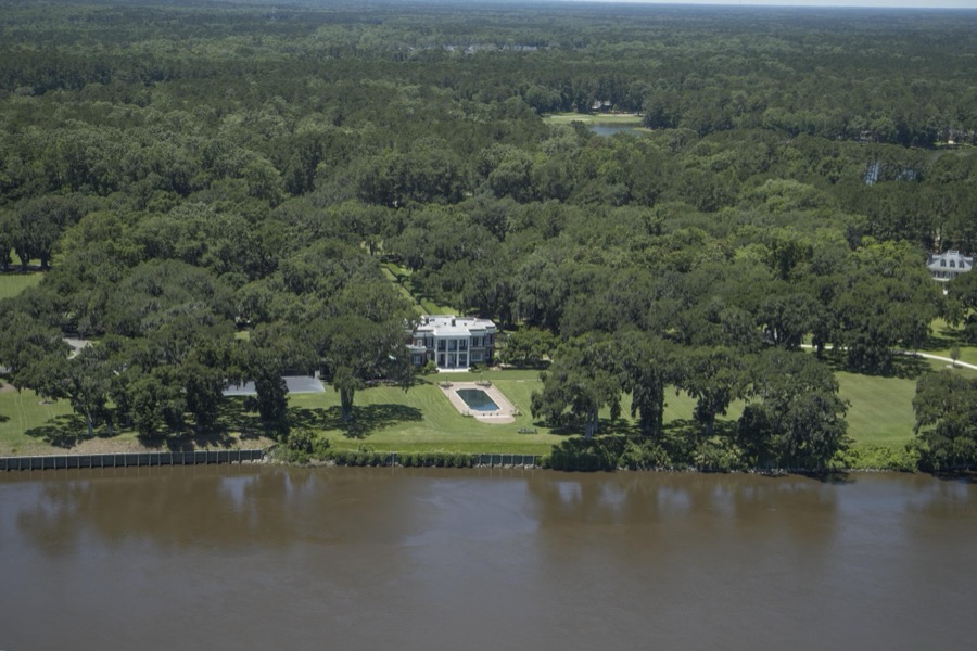
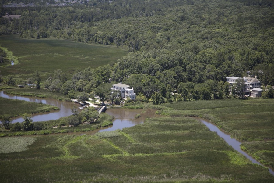

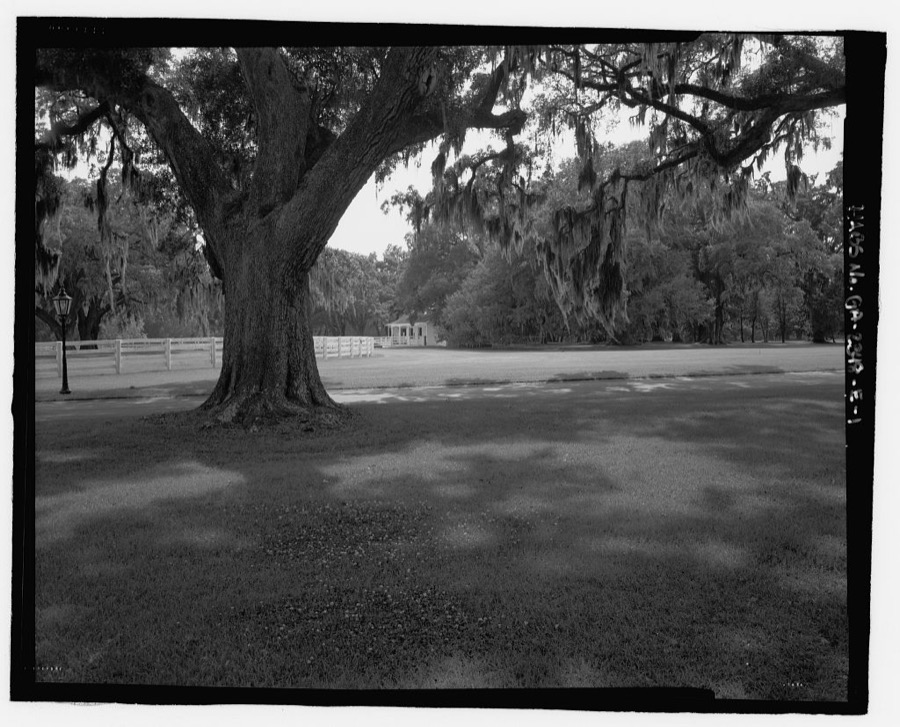
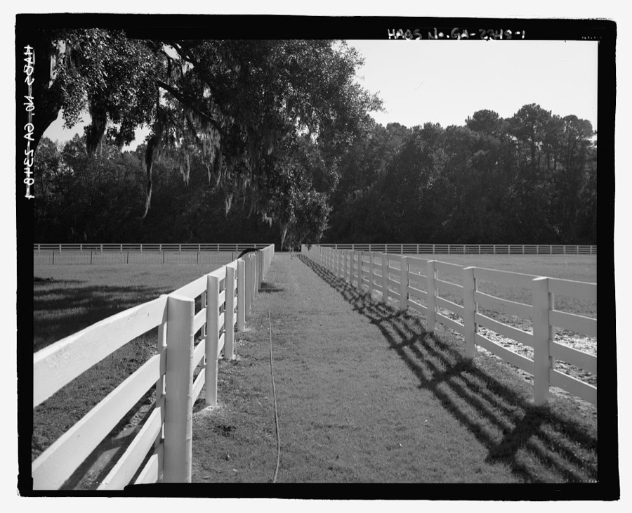
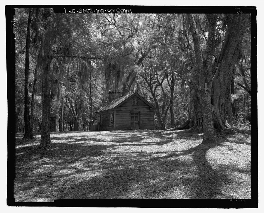
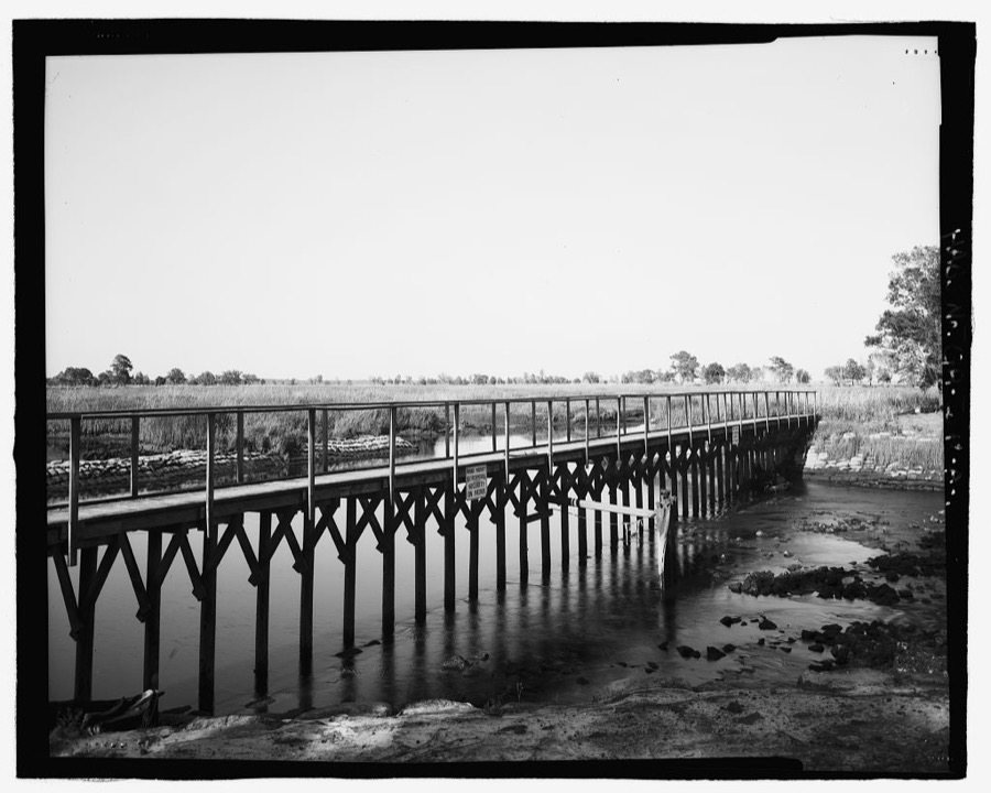
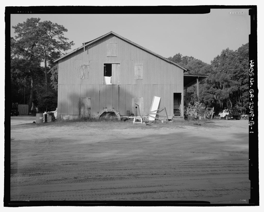
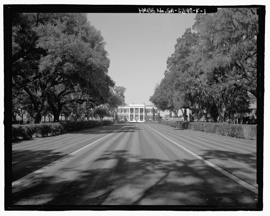
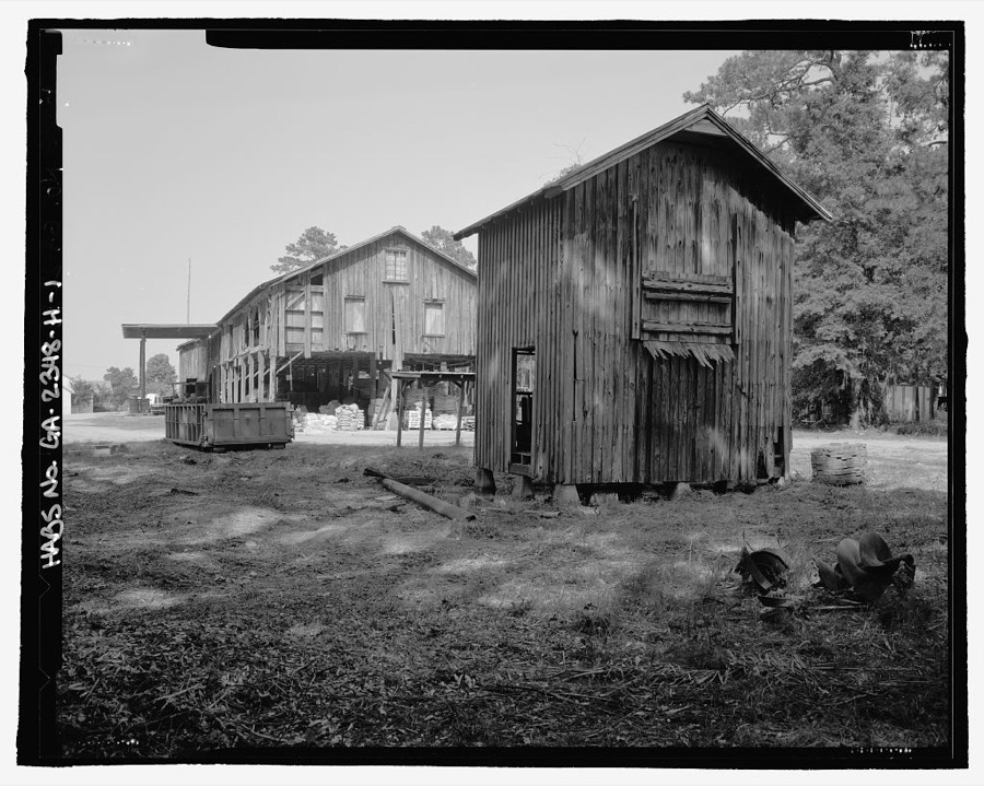
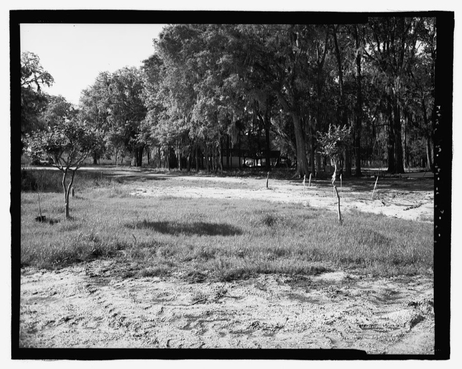
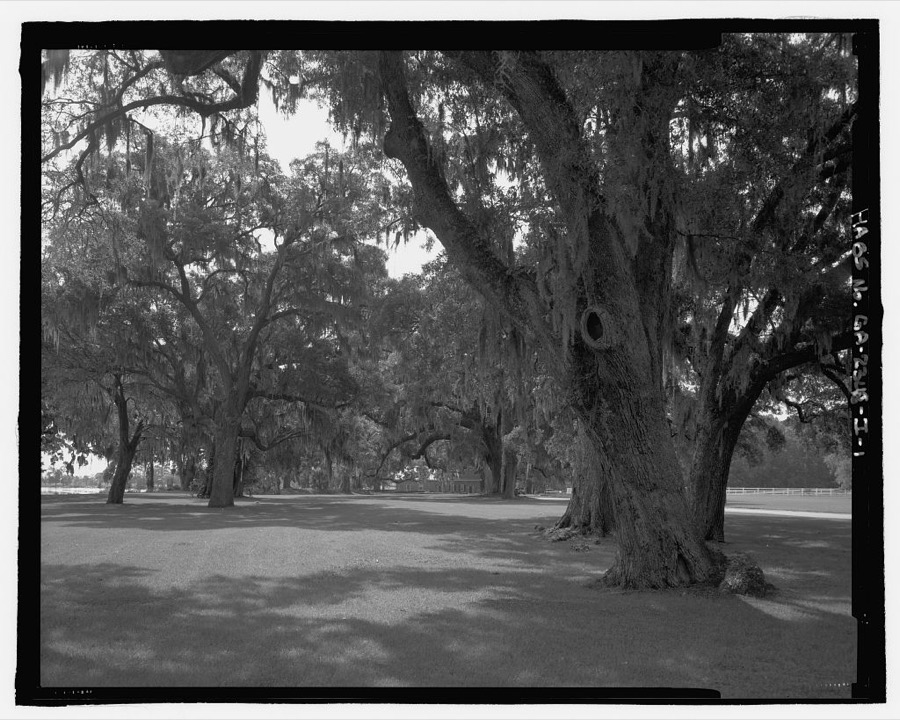
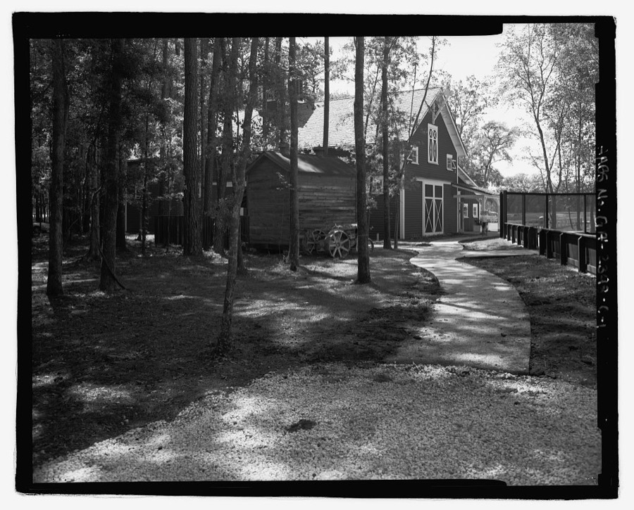
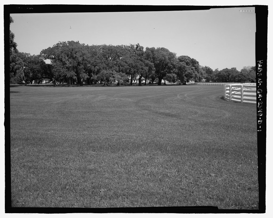
Every property in this county listed on the National Register of Historic Places, with the year it was listed and the federal nomination document.
| Photograph | Property | Type | Listed | Reference |
|---|---|---|---|---|
 | Bryan County Courthouse | building | 1995 | 95000713 |
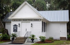 | Bryan Neck Presbyterian Church | building | 2000 | 00000193 |
| Community House | building | 2024 | 100010792 | |
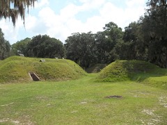 | Fort McAllister | site | 1970 | 70000197 |
 | Glen Echo | building | 1978 | 78000965 |
 | Kilkenny | building | 1979 | 79000700 |
| Pembroke Historic District | district | 2004 | 04001318 | |
 | Richmond Hill Plantation | building | 1978 | 78000966 |
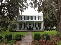 | Strathy Hall | building | 1979 | 79000701 |
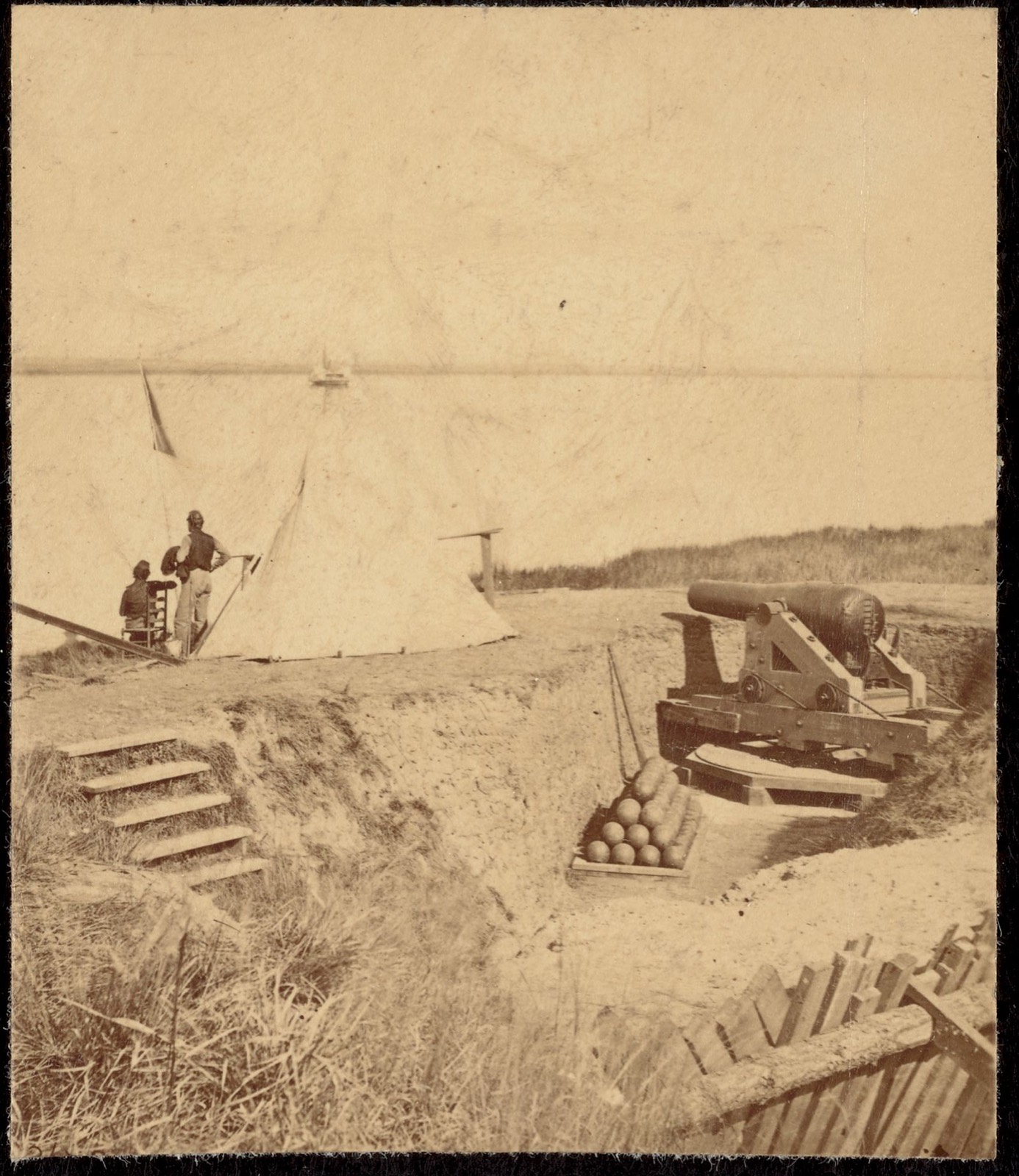
Selected from the Digital Public Library of America's 1 image records catalogued for this county. Every one shown here carries a public-domain status or a licence that permits reuse on a site that carries advertising; non-commercial, share-alike and restricted images are excluded. The selection is spread across the county's towns (at most eight per town), so no single institution's bulk upload crowds out the rest. Each opens the holding library's record, and the complete set at the Digital Public Library of America is one click away.
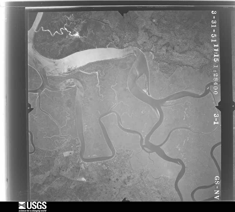
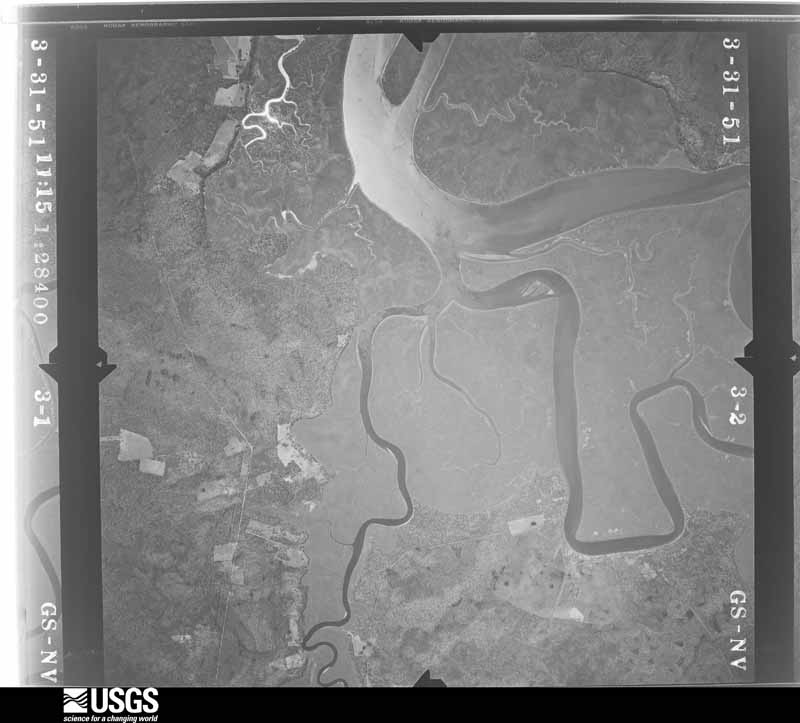
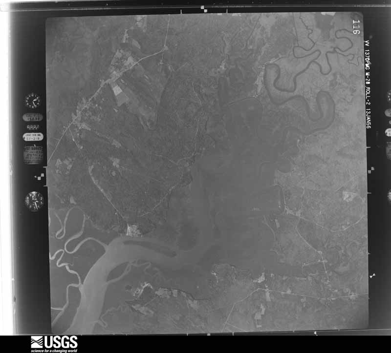
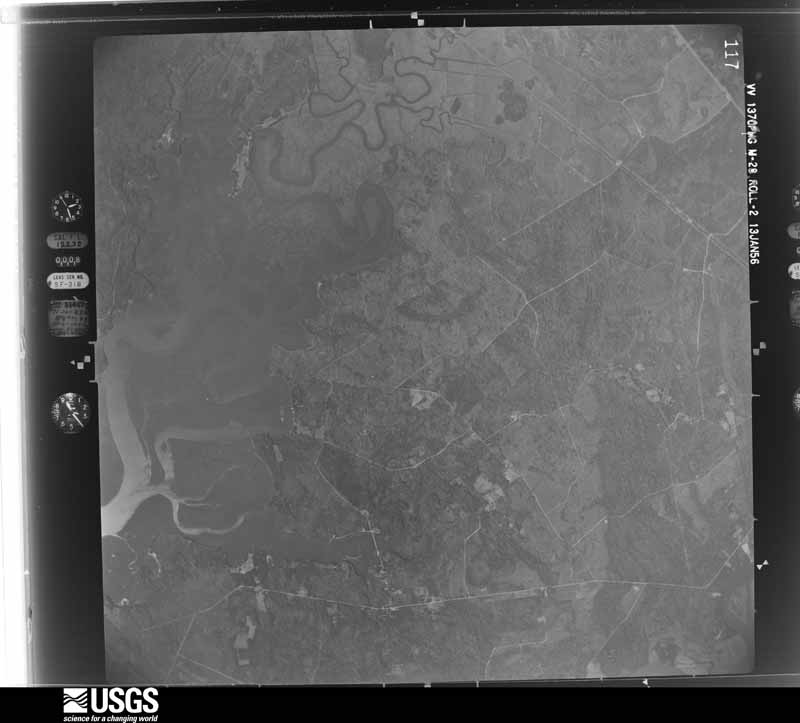
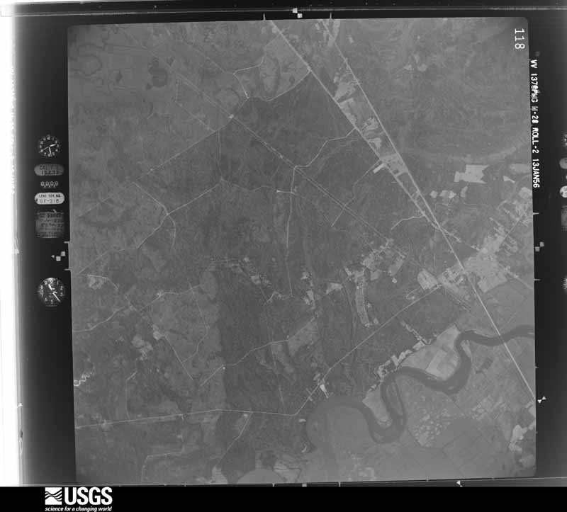
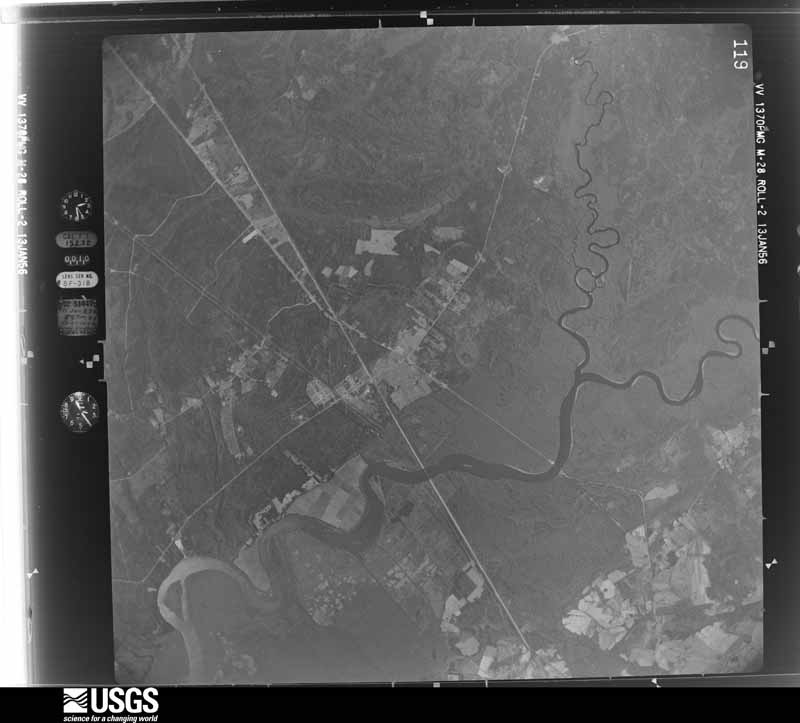
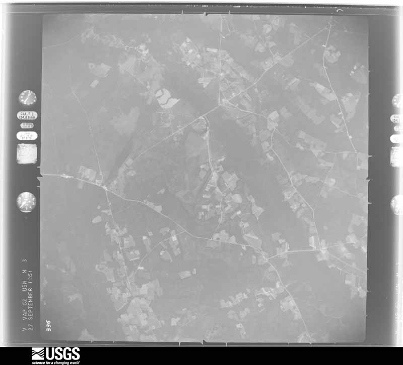
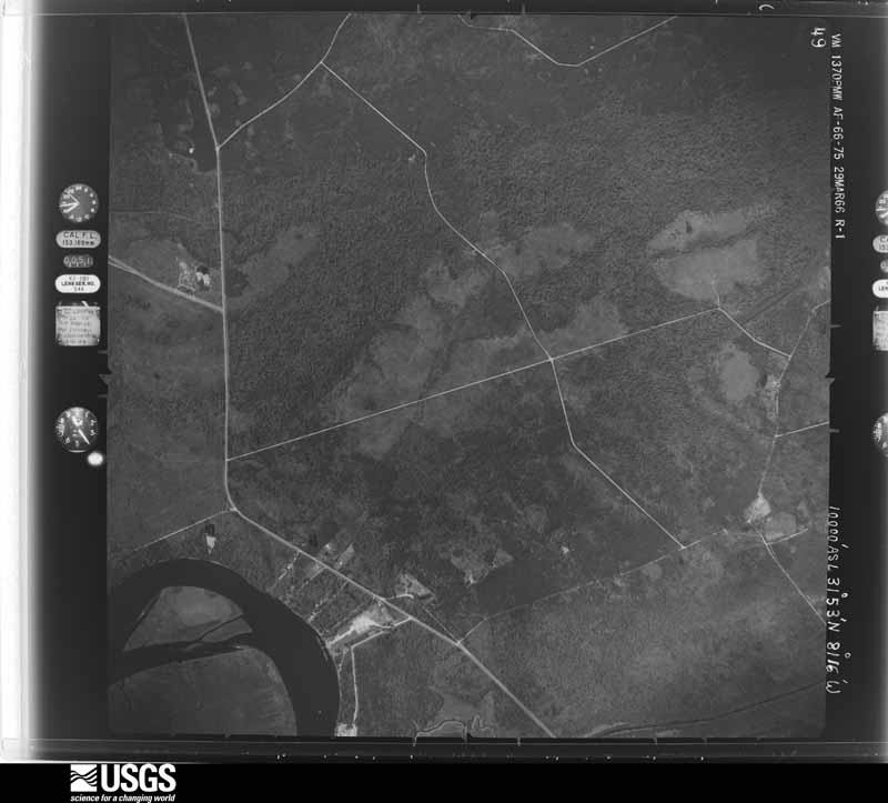
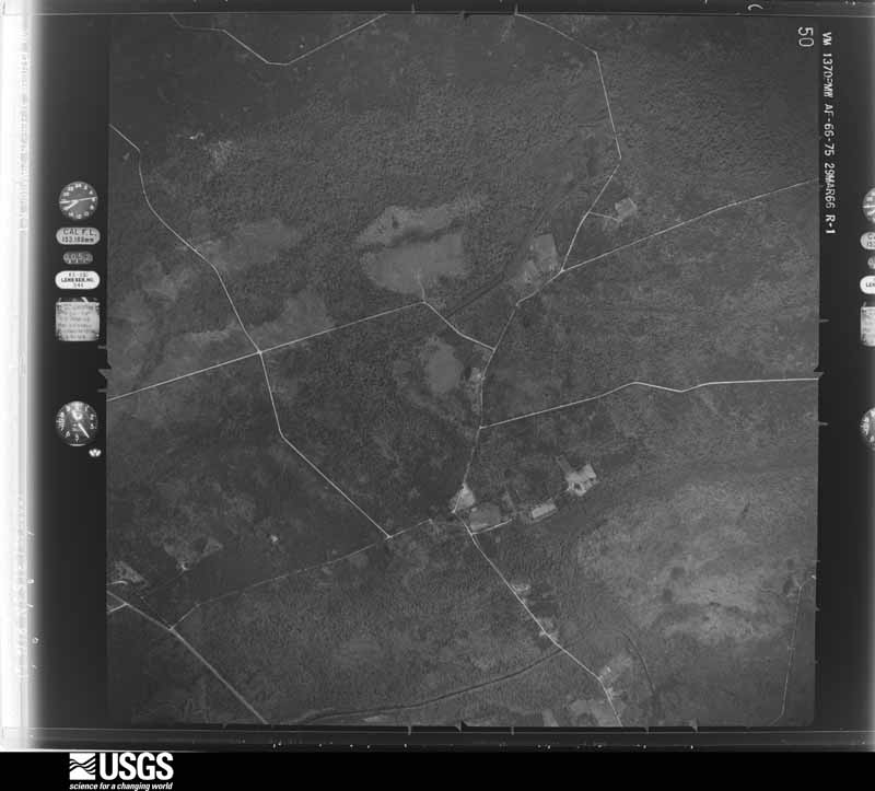
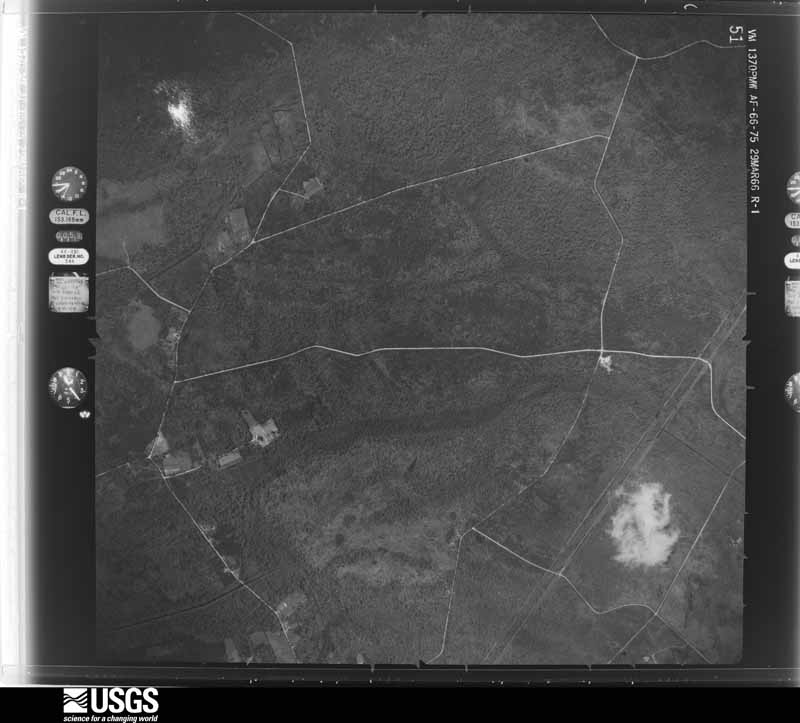
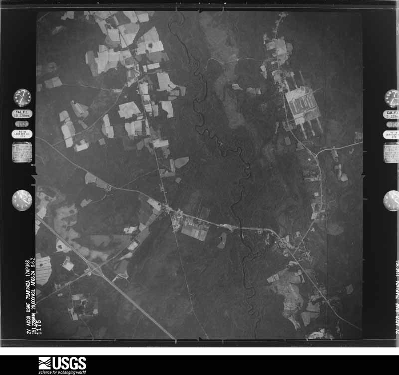
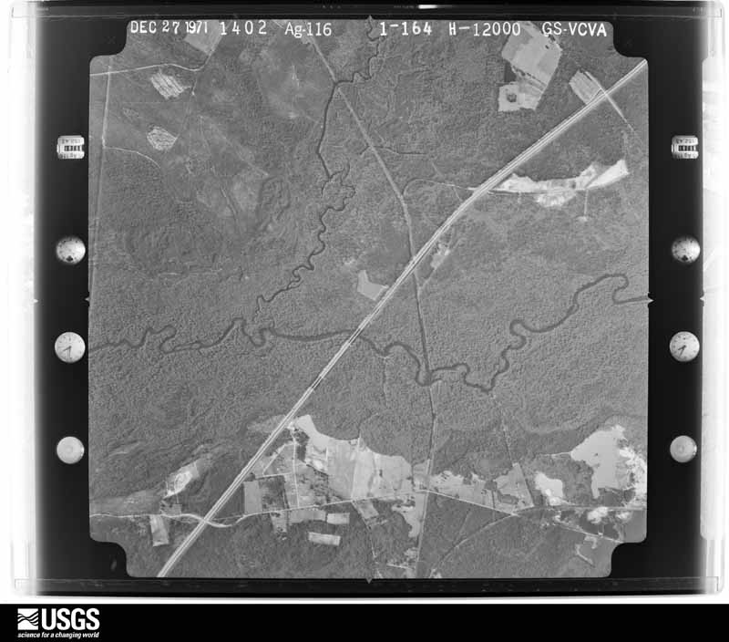
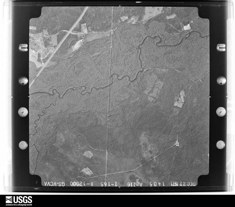
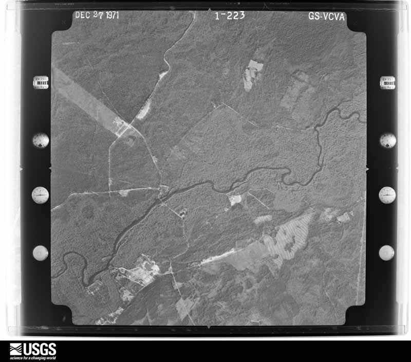
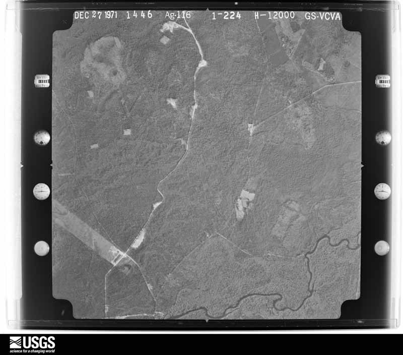
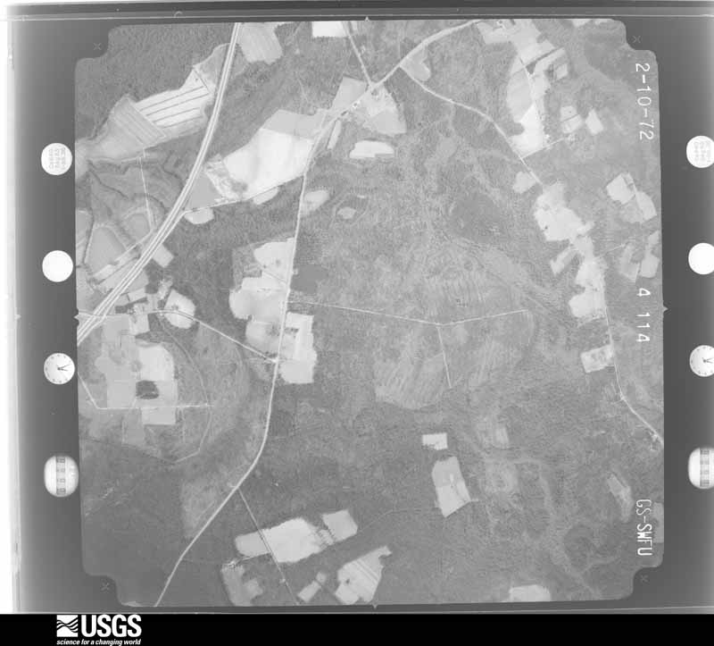
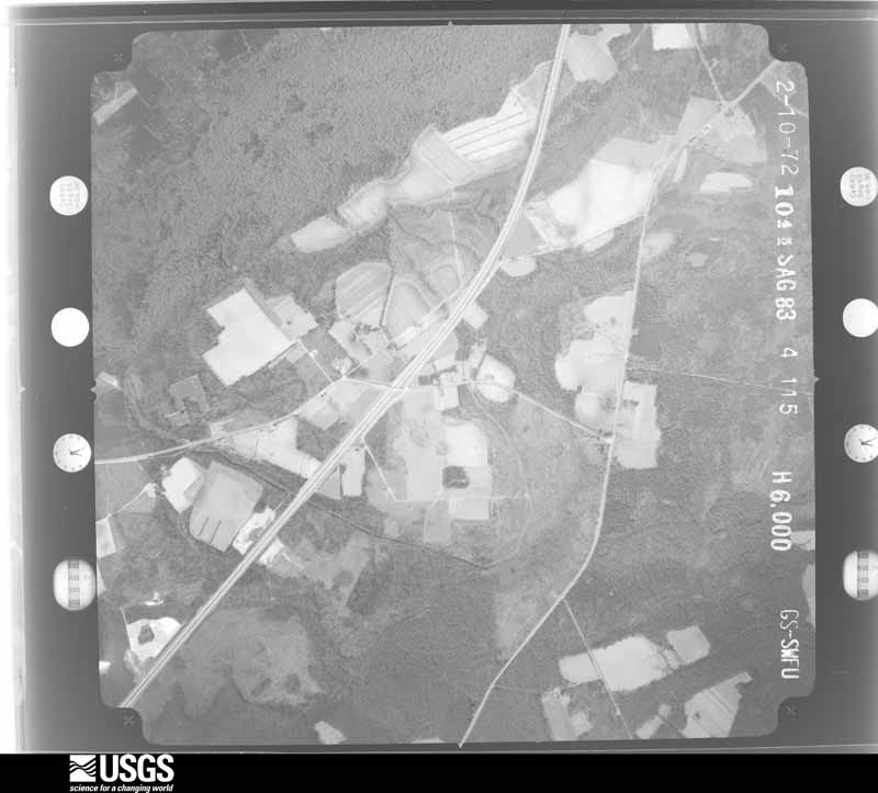
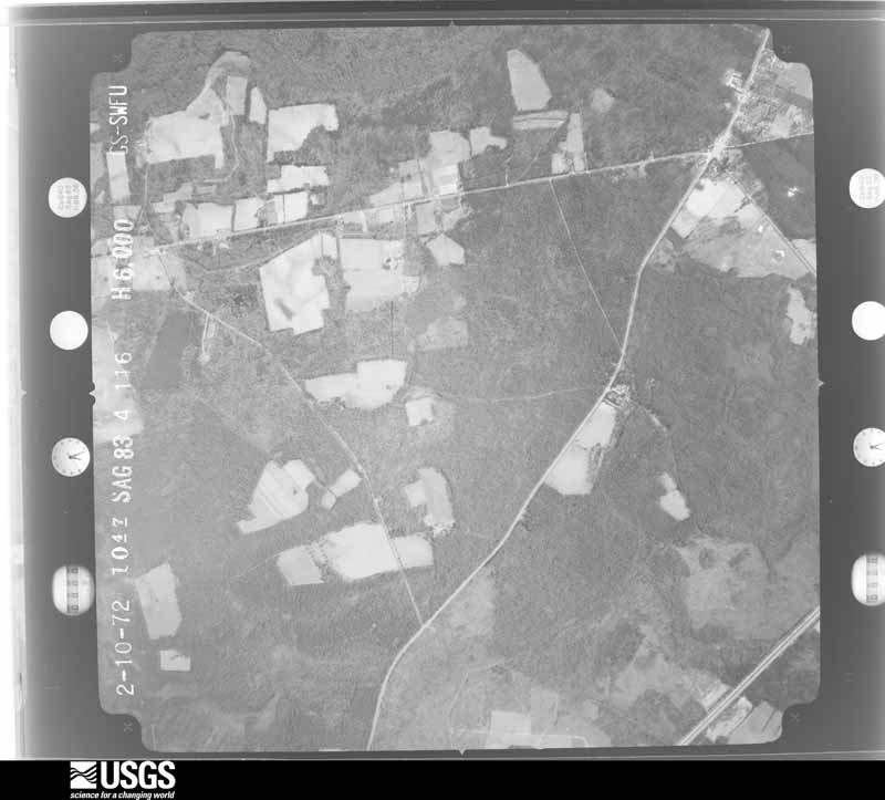
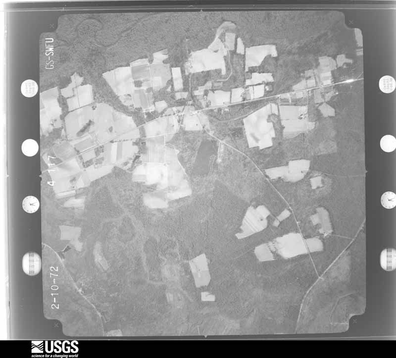
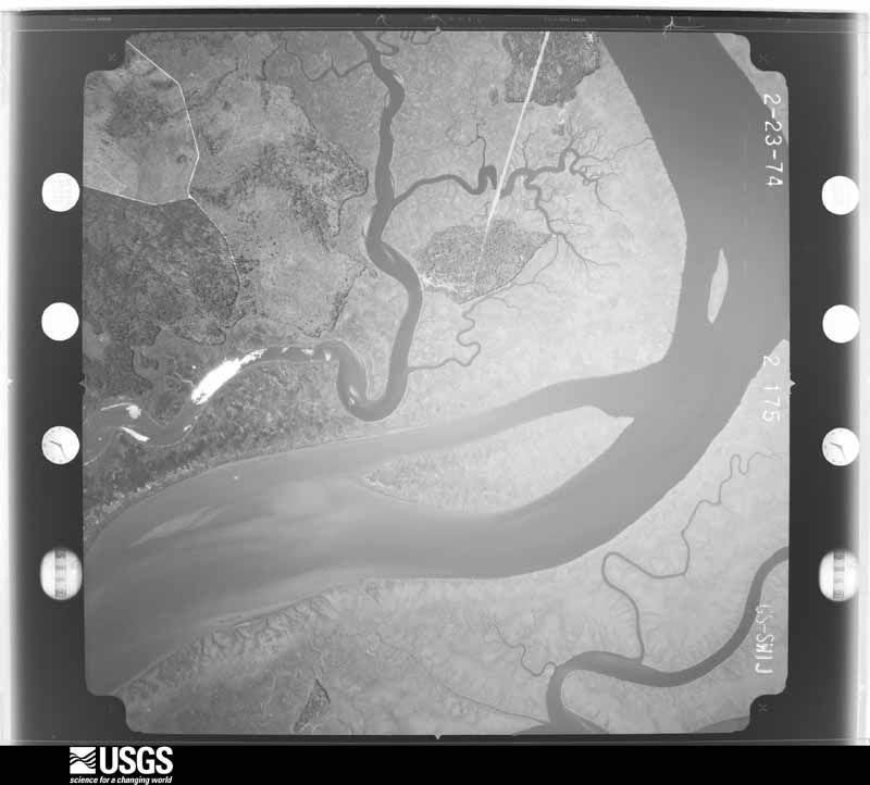
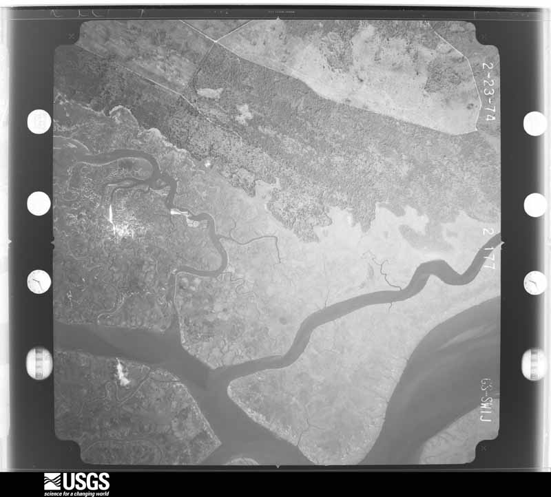
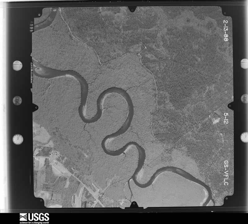
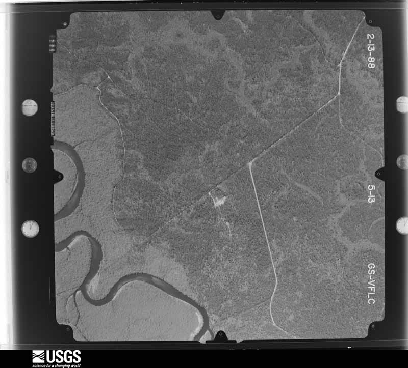
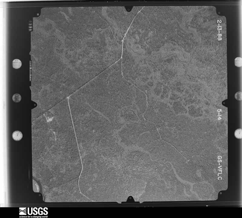
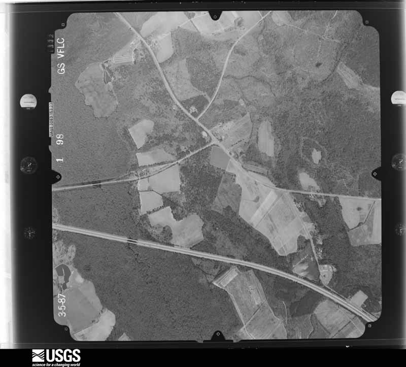
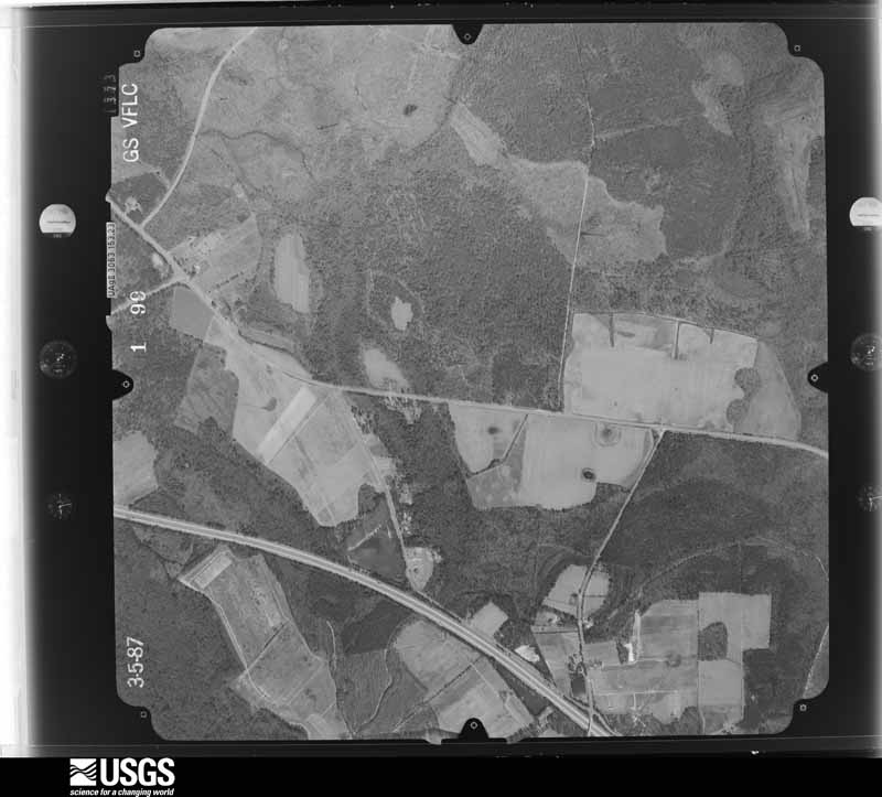
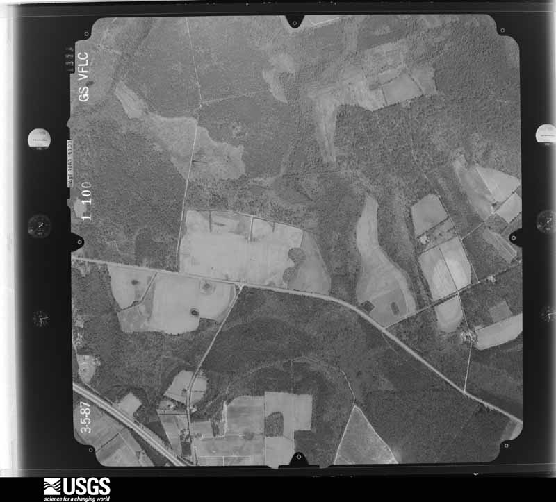
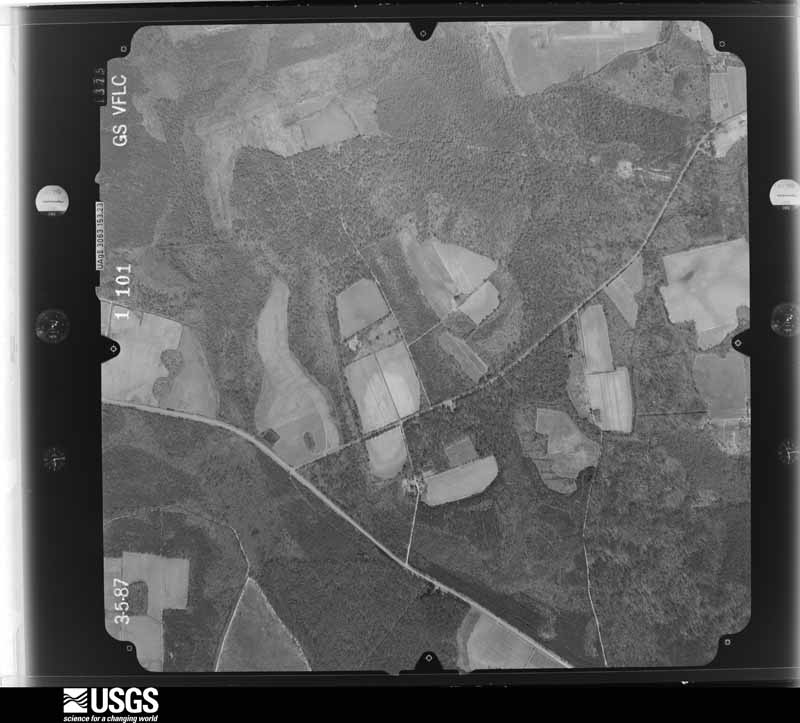
Flown by the U.S. Geological Survey between 1937 and 1989, the Aerial Photo Single Frames collection is the definitive mid-century view of the land: fields, roads and rivers as the camera saw them. The Survey holds 2,526 frames inside the rectangle that bounds this county; the 48 frames below were taken over the county itself, chosen across the decades of flights (at most four a year from that rectangle), so one flight cannot crowd out the rest. The full set is free to browse and download at EarthExplorer under the dataset Aerial Photo Single Frames.





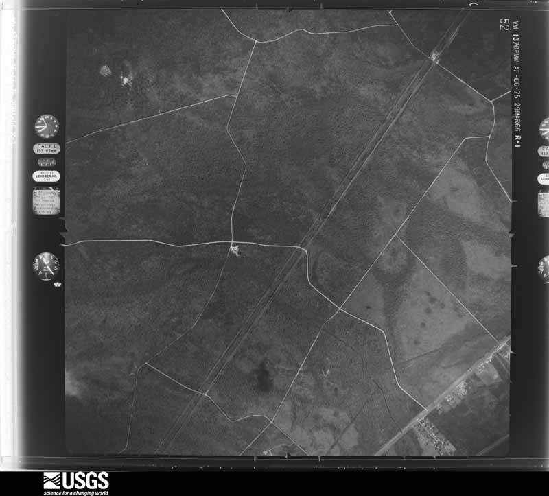
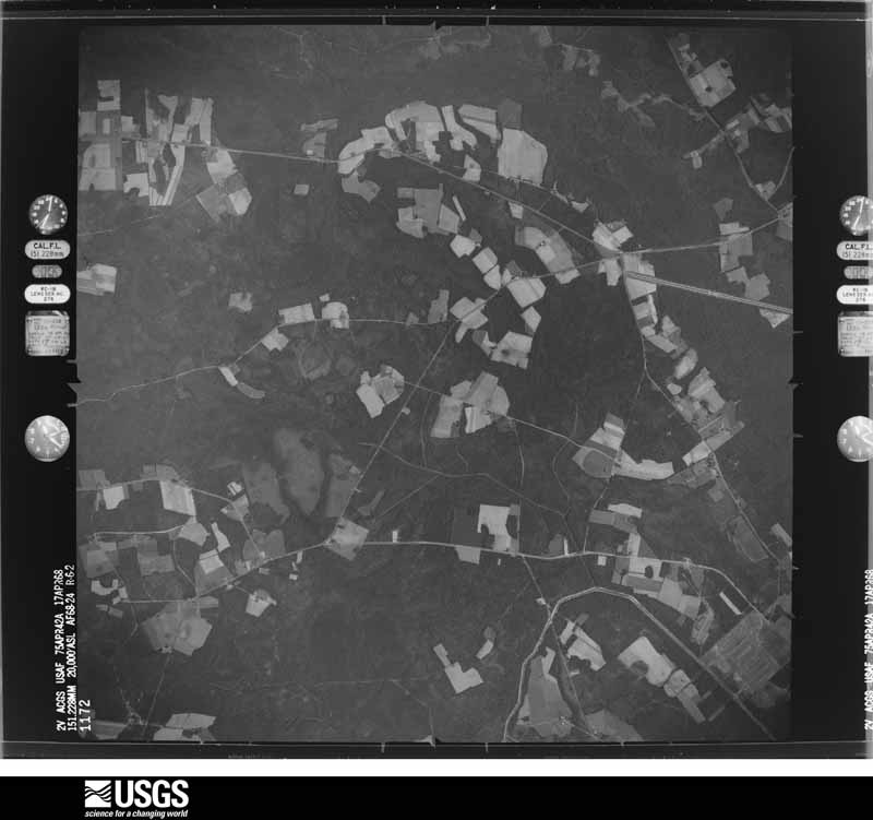
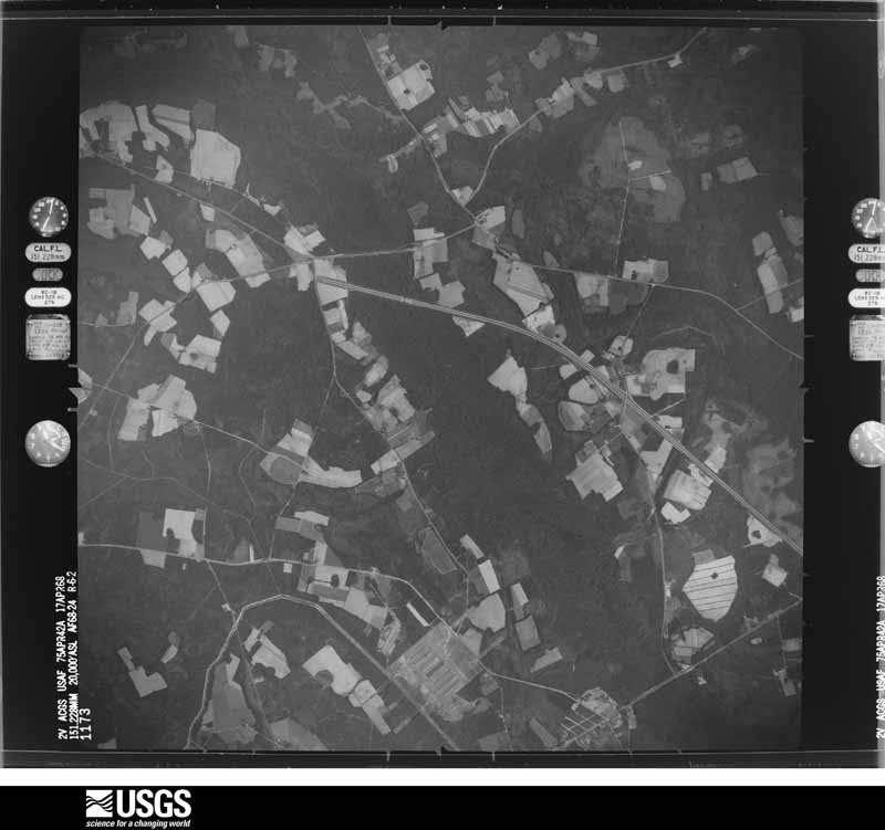
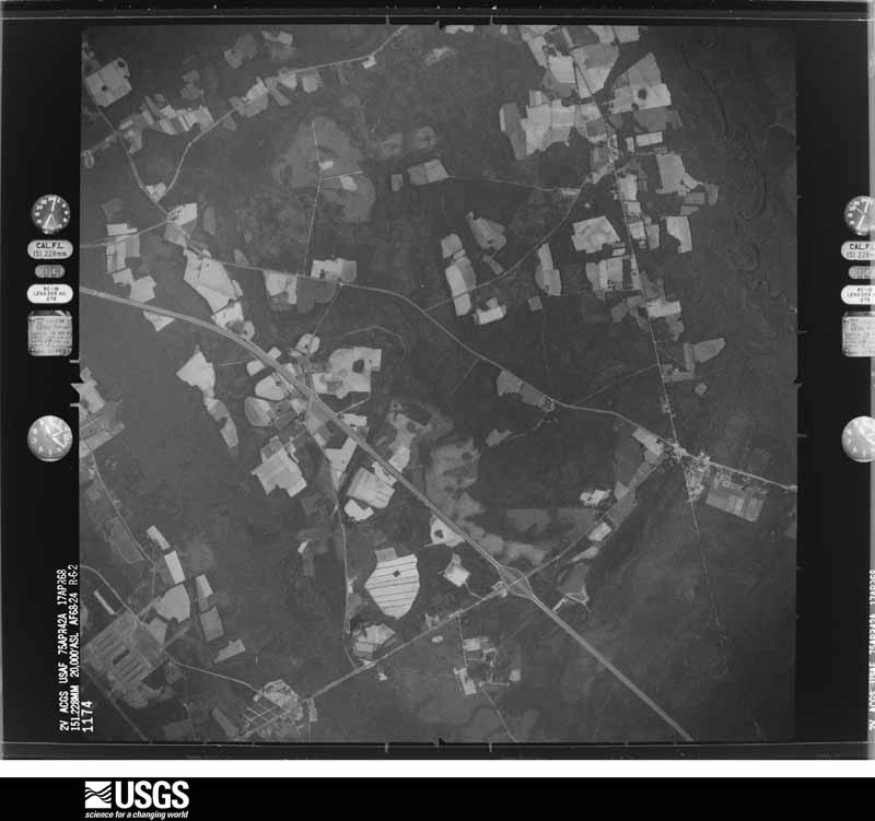











The thermometers that kept this county's weather, and the gages that measured the flow of its streams, as the federal records hold them.
Who lived here in 1950, one enumeration district at a time, as the Census Bureau described each district. Each row opens its official National Archives result, with Population Schedules and ED Maps available there.
Every wildfire the federal occurrence database records inside this county: 1,258 of them, burning about 10,350 acres. 70 started naturally and 427 were recorded as arson. Each settlement page carries the fires within five miles of it.
| Reported cause | Fires |
|---|---|
| Debris and open burning | 544 |
| Arson/incendiarism | 427 |
| Natural | 70 |
| Missing data/not specified/undetermined | 58 |
| Misuse of fire by a minor | 53 |
| Railroad operations and maintenance | 45 |
| Equipment and vehicle use | 33 |
| Recreation and ceremony | 21 |
| Smoking | 7 |
The five largest, by the area the report gives. Five of them were set deliberately.
| Date | Cause | Size | Reported by | Name on the report |
|---|---|---|---|---|
| 17 July 2000 | Railroad operations and maintenance | 917 acres | Georgia Forestry Commission | FY2001-BRYAN NORTH-007 |
| 24 March 1999 | Debris and open burning | 828 acres | Georgia Forestry Commission | not named |
| 27 May 2007 | Debris and open burning | 663 acres | Georgia Forestry Commission | HARVEY TOWN |
| 20 May 2006 | Arson/incendiarism | 371 acres | Georgia Forestry Commission | not named |
| 17 April 1997 | Arson/incendiarism | 343 acres | Georgia Forestry Commission | not named |
| 20 May 2006 | Arson/incendiarism | 268 acres | Georgia Forestry Commission | not named |
| 11 April 1999 | Arson/incendiarism | 237 acres | Georgia Forestry Commission | not named |
| 8 April 2002 | Arson/incendiarism | 234 acres | Georgia Forestry Commission | FY2002-BRYAN NORTH-049 |
Every settlement page carries the fires within five miles of it - see the settlement index below.
The NOAA Storm Events Database holds 221 reports for this county, causing 3 deaths, 29 injuries and about $2,429,000 in recorded property damage. Each settlement page carries the reports that name it.
| Kind of event | Reports |
|---|---|
| Thunderstorm Wind | 131 |
| Hail | 65 |
| Flash Flood | 15 |
| Tornado | 8 |
| Lightning | 1 |
| Funnel Cloud | 1 |
The most serious of them, by death, then injury, then recorded damage. The accounts are quoted exactly as the forecast office filed them.
| When | Event | Place named | Harm | What the report says |
|---|---|---|---|---|
| April 1998 | Tornado (F3) | Pembroke | 2 killed, 16 hurt, $2,200,000 | Tornado first touched down just northeast of Pembroke and then crossed I-16 at the Olive Branch Road overpass (about 2 miles west of exit 29) then continued northeast. Significant damage occurred in the Olive Branch Rd. area and also just north of Blitchton, where a 38 year-old female and a 41 year old male were killed along with 15 injured. There were seventy-four (74) homes and other buildiings damaged, with fourteen of those destroyed (6 mobile homes, two frame houses, two brick homes, and four other buildings. Numerous trees were uprooted or snapped off 10 to 15 feet above the ground. |
| April 2022 | Tornado (EF4) | Reka | 1 killed, 12 hurt | A National Weather Service Storm Survey Team confirmed an EF-4 tornado with estimated maximum wind speed of 185 mph in Bryan County Georgia. The violent tornado began just west of the Bryan County Courthouse in Pembroke, where it damaged part of the roof, blew out some windows, and snapped numerous trees. The tornado continued along a northeast path across a wooded, marshy area, including C C Road, Stubbs Farm Road, and Stubby Road. In this area, the tornado produced significant tree damage, and heavily damaged a residence on Stubbs Farm Road. The tornado then continued east-northeast moving through Hendrix Park, Park Place subdivision, and Black Creek Golf Course, where it reached a maximum width of 3/4 of a mile and peak EF-4 intensity. Across this area, the tornado extensively damaged most homes, structures and trees. Some homes and structures were completely destroyed. Several injuries, some serious, occurred in this area as well. The tornado then continued east-northeast over wooded and marshy areas, across Olive Branch Road and across the southern end of Homestead Drive. Several mobile homes were completely destroyed in this area, causing additional injuries and tragically claiming the life of an adult female. The tornado began to weaken as it moved toward the interchange of I-16 and U.S. Highway 280. In this area, there was some minor roof damage to a large industrial building off of Oracal Parkway Circle, as well as some snapping and uprooting of trees. The tornado finally dissipated in a marshy region just east of Oracal Parkway Circle. |
| September 2000 | Lightning | Pembroke | 1 hurt | Lightning struck the chief of police as he attempted to unplug several computers during a thunderstorm. The lightning strike blew the sockets off the walls, broke a water line, and damaged the station's phones, fax, and computers. |
| June 2009 | Thunderstorm Wind | Keller | $50,000 | The Bryan county Emergency Manager reported 50 to 80 trees down in Lincoln Hill Estates at the intersection of Kilkenny Road and Lincoln Trail, 4 miles southeast of Keller, Georgia. One tree branch punctured the roof of a home, several trees were blown down onto roads in the subdivision, and a few power lines were knocked down as well. |
| August 1980 | Tornado (F1) | not stated | $25,000 | no account filed |
| July 1995 | Thunderstorm Wind | Blitchton | $20,000 | Thunderstorm winds destroyed E. T. Bath's Barn along with 1,500 bales of hay. |
| July 2009 | Thunderstorm Wind | Richmond Hill | $10,000 | Broadcast media relayed a report of a gas station canopy that was damaged along Interstate 95 at exit 87 in Richmond Hill, Georgia. |
| September 2007 | Flash Flood | Richmond Hill | $10,000 | Law enforcement officials reported that numerous roads were closed due to high water in the Richmond Hill area of Bryan County. In addition, water was also reported to be entering several homes in subdivisions around the Richmond Hill area. |
| August 2007 | Thunderstorm Wind | Pembroke | $10,000 | Many trees were reported down in Pembroke along with widespread Power Outages. |
| September 2007 | Flash Flood | Richmond Hill | $10,000 | It was reported that water was starting to rise into housing units in the Belfast Siding area of Richmond Hill. |
| September 2007 | Flash Flood | Richmond Hill | $6,000 | The Bryan County Warning Point reported numerous road closures across the county...especially in and around Richmond Hill. Several cars have been stalled and stranded due to the flash flooding. |
| July 2006 | Thunderstorm Wind | Richmond Hill | $5,000 | Trees and powerlines down off Highway 17 near Richmond Hill. |
| June 1995 | Thunderstorm Wind | Pembroke | $5,000 | Thunderstorm winds knocked trees down. |
| June 1994 | Thunderstorm Wind | Richmond Hill | $5,000 | Several large trees and power poles were downed by thunderstorm winds. Two homes in the Richmond Heights community were damaged by falling trees. |
| June 1994 | Thunderstorm Wind | Pembroke | $5,000 | Several large trees were downed along Georgia Highway 119. |
| October 1993 | Thunderstorm Wind | Pembroke | $5,000 | Several large trees were blown down by thunderstorm winds along Georgia Highway 119. |
| August 2007 | Thunderstorm Wind | Arden | $4,000 | Numerous trees and tree limbs were reported down at mile marker 145 on Interstate 16. |
| July 2012 | Thunderstorm Wind | Pembroke | $3,000 | Several trees down on Ashbranch Road, Sims Road and Strickland Street. |
| June 2011 | Thunderstorm Wind | Ellabell | $3,000 | Law enforcement reported 3 trees down near the post office. |
| May 2010 | Thunderstorm Wind | Richmond Hill | $3,000 | Law Enforcement reported trees down near Highway 144 near the Buckhead subdivision in Richmond Hill, Georgia. |
| June 2009 | Thunderstorm Wind | Lanier | $3,000 | Law enforcement reported a few trees down along Bill Futch Road six miles east northeast of Pembroke, Georgia. |
| September 2007 | Thunderstorm Wind | Ellabell | $3,000 | Several trees and power lines were reported down. |
| April 2006 | Thunderstorm Wind | Pembroke | $3,000 | Thunderstorm winds blew down 5 trees across the northern part of the county. |
| July 1979 | Tornado (F0) | not stated | $2,500 | no account filed |
| June 2011 | Thunderstorm Wind | Lanier | $2,250 | Law enforcement reported a tree down on power lines along Page Road. |
| June 2010 | Thunderstorm Wind | Reka | $2,250 | Law enforcement reported a tree and power line down on Beautiful Zion Church Road. |
| April 2013 | Thunderstorm Wind | Ellabell | $2,000 | A Spotter reported several trees down northwest of Ellabell. |
| June 2012 | Thunderstorm Wind | Richmond Hill | $2,000 | Law enforcement reported trees down along highway 144 near Richmond Hill, Georgia. |
| August 2011 | Thunderstorm Wind | Richmond Hill | $2,000 | The public reported trees down on power lines along Harris Trail Road near the Richmond Hill High School. Report received via twitter. |
| June 2008 | Thunderstorm Wind | Arden | $2,000 | A public report was received of a tree and numerous 4 to 6 inch diameter tree limbs down along Countryside Drive, 2 miles west-southwest of Blichton, Georgia. Slightly larger than quarter size hail fell for 15 minutes as well. |
| June 2006 | Thunderstorm Wind | Pembroke | $2,000 | Trees down on Lanier St, Harry Hagan Street. |
| May 1995 | Thunderstorm Wind | Richmond Hill | $2,000 | Thunderstorm winds knocked several large tree limbs, knocking out a power substation. |
| August 2007 | Thunderstorm Wind | Ellabell | $1,500 | A Ham Radio Operator reported trees down along Morgans Bridge Road near the Bryan and Chatham county line. |
| August 2023 | Thunderstorm Wind | Reka | $1,250 | The Bryan County 911 Call Center reported a power line down across a railroad track near the 3300 Block of Highway 280 West. |
| August 2023 | Thunderstorm Wind | Ellabell | $1,250 | The Bryan County 911 Call Center reported a power line down at the intersection of Porterfield and Indian Trail Road. |
| August 2025 | Thunderstorm Wind | Keller | $1,000 | The Bryan County 911 Call Center reported a tree down on Fort McAllister Road near the intersection with Whitehall Lane. |
| August 2025 | Thunderstorm Wind | Richmond Hill | $1,000 | The Bryan County 911 Call Center reported one tree down along Highway 17 near the city limits of Richmond Hill, Georgia. |
| January 2014 | Thunderstorm Wind | Ellabell | $1,000 | County Warning Point reported a tree down on Black Creek Church Road. |
| July 2011 | Thunderstorm Wind | Lanier | $1,000 | Law Enforcement reported a tree and power lines down near the intersection of Red Bird Lane and Cypress Bay Loop Road, 2 miles southwest of Lanier, Georgia. |
| June 2010 | Thunderstorm Wind | Lanier | $1,000 | Law enforcement reported a tree down on Boggy Pond Road. |
| June 2010 | Thunderstorm Wind | Ellabell | $1,000 | Law enforcement reported a tree down on Mill Creek Church Road. |
| August 2010 | Thunderstorm Wind | Keller | $1,000 | Law enforcement reported one tree down near the intersection of Highway 144 and Rathlin Road. |
| June 2010 | Thunderstorm Wind | Richmond Hill | $1,000 | The public reported 1 tree down on Highway 144 between Highway 17 and Interstate 95. |
| August 2008 | Thunderstorm Wind | Pembroke | $1,000 | Law enforcement reported a tree down and blocking Georgia Edwards Road in Pembroke, Georgia. |
| August 2007 | Thunderstorm Wind | Ellabell | $1,000 | One pine tree was reported down on a power line on Fox Den Court. |
| April 2006 | Thunderstorm Wind | Richmond Hill | $1,000 | Thunderstorm winds produced a 65 mph wind gust at the McAllister Marina. The winds knocked down tree limbs and blew lawn furniture around. |
| June 2006 | Thunderstorm Wind | Pembroke | $1,000 | Tree down on Route 67. |
| June 1995 | Hail | Ellabell | $1,000 | no account filed |
| July 2017 | Thunderstorm Wind | Ellabell | $500 | Bryan County dispatch reported a large tree branch down on Toni Branch Road. |
| May 2013 | Thunderstorm Wind | Daniel | $500 | Long County Emergency Management reported a tree down along Long Street. |
| September 2011 | Thunderstorm Wind | Richmond Hill | $500 | The Public reported a pine tree down in Richmond Hill, Georgia. |
| July 2010 | Thunderstorm Wind | Groveland | $500 | Law enforcement reported a tree down on Jerusalem Church Road near Highway 280, in Groveland, Georgia. |
| July 2010 | Thunderstorm Wind | Pembroke | $500 | Law enforcement reported multiple large tree limbs down across Route 67 near Floyd Road, 3 miles northwest of Pembroke, Georgia. |
| July 2008 | Thunderstorm Wind | Ellabell | $500 | Trees limbs were reported down on power lines along Highway 204 in Ellabell, Georgia. |
| August 2007 | Thunderstorm Wind | Ellabell | $500 | One oak tree was reported down on Mill Church Road. |
| July 2007 | Thunderstorm Wind | Ellabell | $500 | One tree was reported down on Roberts Road. |
| July 2007 | Thunderstorm Wind | Pembroke | $500 | One tree was reported down on Bacon Road. |
| June 1994 | Thunderstorm Wind | Pembroke | $500 | Three large trees were downed by thunderstorm winds. |
| March 2025 | Hail | Keller | - | Penny sized hail and gusty winds were reported along Sweet Hill Road. |
| May 2025 | Hail | Lanier | - | Penny sized hail was reported west of Blitchton. |
Named settlements recorded in the Geographic Names Information System, each with the topographic sheets covering it. Villages, hamlets and abandoned places alike. Each is shown with the nearest named watercourse or landform and the survey quadrangle it falls on.
Richmond Hill census division · 31324 · On Jerico River · Limerick SE quadrangle
17 sheets, 1920 to 1981
Pembroke census division · 31308 · On Miles Branch · Eden quadrangle
16 sheets, 1920 to 1981
Richmond Hill census division · 31324 · Richmond Hill quadrangle
18 sheets, 1920 to 1997
No longer a settlement
Richmond Hill census division · 31324 · On Sweet Hill Creek · Limerick SE quadrangle
17 sheets, 1920 to 1981
Richmond Hill census division · 31324 · Near Savage Island · Oak Level quadrangle
15 sheets, 1944 to 1981
No longer a settlement
Richmond Hill census division · 31324 · On Demeries Creek · Oak Level quadrangle
15 sheets, 1944 to 1981
Richmond Hill census division · 31324 · Near Savage Island · Burroughs quadrangle
17 sheets, 1944 to 1981
Richmond Hill census division · 31324 · On Sweet Hill Creek · Limerick SE quadrangle
17 sheets, 1920 to 1981
Fort Stewart census division · Near Hilliard Island · Letford quadrangle
19 sheets, 1920 to 1981
Richmond Hill census division · 31324 · On Sterling Creek · Richmond Hill quadrangle
18 sheets, 1920 to 1997
Richmond Hill census division · 31324 · Richmond Hill quadrangle
18 sheets, 1920 to 1997
Richmond Hill census division · 31324 · On Sweet Hill Creek · Oak Level quadrangle
15 sheets, 1944 to 1981
The vanished settlements of Bryan County: the places named above that are no longer on the map.
The complete index, with nothing left out. Each of these is a separate record with its own page: a federal survey report, or the case file that argued a property on to the National Register. Both are public domain and reproduced word for word.
The vanished settlements of Bryan County, the places these records name that are no longer on the map.