 Block
Richmond Hill, Georgia
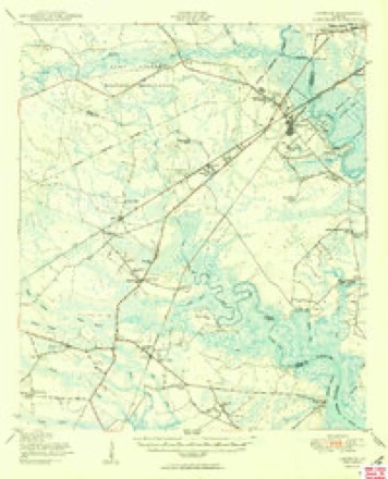
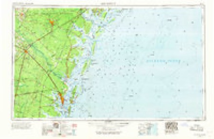
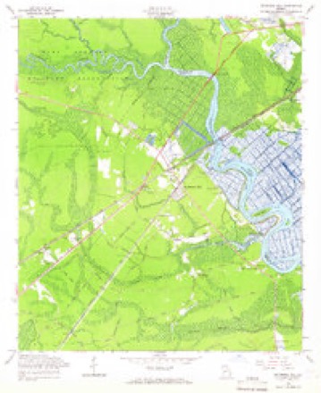
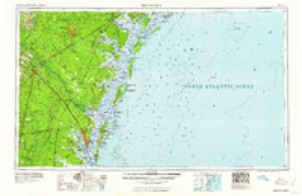
18 topographic sheets cover this place, the earliest surveyed in 1920 and the latest in 1997. It stands in the Richmond Hill census division. It lies in ZIP code area 31324. The Survey maps it on the Richmond Hill quadrangle. 16,633 people lived here at the 2020 count. It stands 20 feet above sea level.
Research this city
On record in Richmond Hill
Buildings and businesses the archive holds for this place. Each opens its own page, with the source record it came from.
On the National Register 5 records
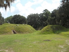 Fort McAllisterlisted 1970
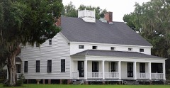 Kilkennylisted 1979
 Richmond Hill Plantationlisted 1978
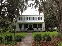 Strathy Halllisted 1979
- Community Houselisted 2024
Surveyed buildings and structures 11 records
- Richmond Hill Plantation, Caretaker's House, East of Richmond Hill on Ford Neck Road, Richmond Hillfederal building survey, 10 photographs
- Richmond Hill Plantation, Cherry Hill Lettuce Shed, East of Richmond Hill on Ford Neck Road, Richmond Hillfederal building survey, 22 photographs
- Richmond Hill Plantation, Chute Building, East of Richmond Hill on Ford Neck Road, Richmond Hillfederal building survey, 12 photographs
- Richmond Hill Plantation, Dynamite Shed, East of Richmond Hill on Ford Neck Road, Richmond Hillfederal building survey, 5 photographs
- Richmond Hill Plantation, East of Richmond Hill on Ford Neck Road, Richmond Hillfederal building survey, 26 photographs
- Richmond Hill Plantation, Ford Mansion, East of Richmond Hill on Ford Neck Road, Richmond Hillfederal building survey, 26 photographs
- Richmond Hill Plantation, Laboratory-Powerhouse & Chimney, East of Richmond Hill on Ford Neck Road, Richmond Hillfederal building survey, 19 photographs
- Richmond Hill Plantation, Oyster House, East of Richmond Hill on Ford Neck Road, Richmond Hillfederal building survey, 13 photographs
- Richmond Hill Plantation, Stable/Garage, East of Richmond Hill on Ford Neck Road, Richmond Hillfederal building survey, 8 photographs
- Richmond Hill Plantation, Sterling Creek Lettuce Shed, East of Richmond Hill on Ford Neck Road, Richmond Hillfederal building survey, 15 photographs
- Richmond Hill Plantation, Sterling Creek Marsh, East of Richmond Hill on Ford Neck Road, Richmond Hillfederal building survey, 22 photographs
Population over time
2 figuresRichmond Hill grew from 9,281 to 16,633 between 2010 and 2020. These are the recorded population figures Wikidata holds for this place, reached through the Geographic Names Information System number this page is keyed on rather than by name, so they belong to this place and not to another of the same name. Most are census counts, but not all are: an early figure may be a founding or settlement estimate, and an estimate published within five years of a census is left out. The change column is computed, and is left blank where more than 20 years separate a figure from the one before it, because a gap that long is not a change between two counts.
| Year | People | Change |
|---|---|---|
| 2010 | 9,281 | |
| 2020 | 16,633 | +7,352 (+79%) |
Topographic sheets covering this place
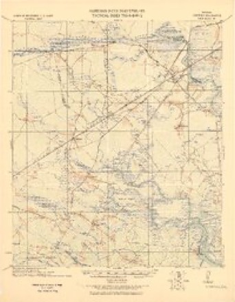
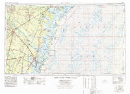
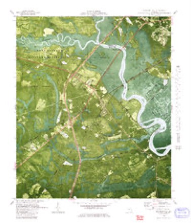
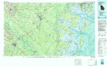
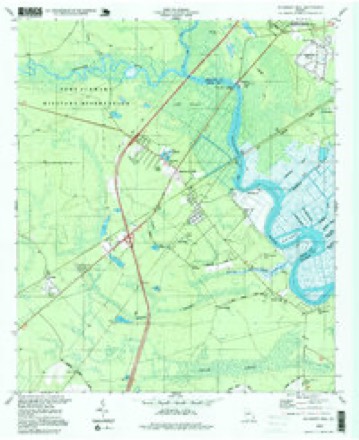
13 surveys from 18 printed sheetsMatched by testing this settlement's coordinate against the published boundary of every sheet in the United States Geological Survey's historical collection. Each opens the scanned sheet at the Survey.
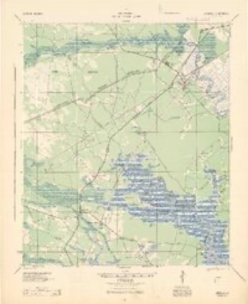
- 1920 USGS Limerick quadrangle1:62500
- 1944 USGS Limerick quadrangle1:62500
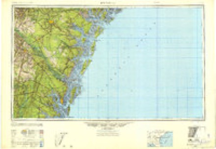
- 1946 USGS Brunswick quadrangle1:250000
- 1948 USGS Brunswick quadrangle1:250000
- 1948 USGS Limerick quadrangle1:62500
- 1950 USGS Limerick quadrangle1:62500, 2 printings
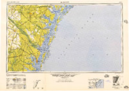
- 1956 USGS Brunswick quadrangle1:250000, 2 printings
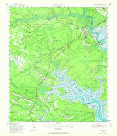
- 1958 USGS Richmond Hill quadrangle1:24000, 3 printings
- 1961 USGS Brunswick quadrangle1:250000
- 1978 USGS Brunswick quadrangle1:250000, 2 printings
- 1980 USGS Richmond Hill quadrangle1:24000
- 1981 USGS Jesup quadrangle1:100000
- 1997 USGS Richmond Hill quadrangle1:24000
Photographs
8 of 18 photographs shown, 2017Taken for the Office of War Information and the Farm Security Administration, who photographed the country between 1935 and 1944. Works of United States government photographers, with no known restriction on use. Each opens its catalogue record.
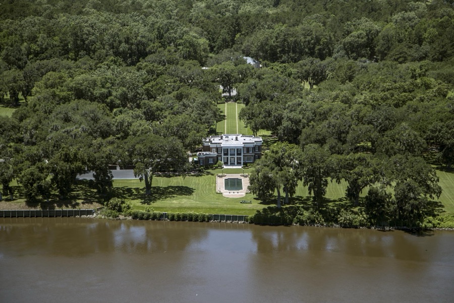
Highsmith, Carol M, 2017. Library of Congress
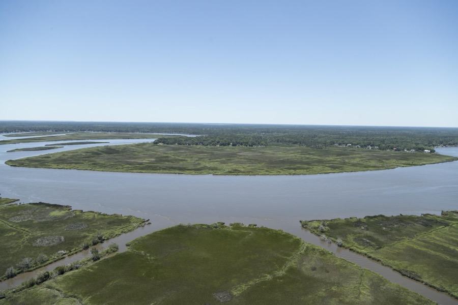
Highsmith, Carol M, 2017. Library of Congress
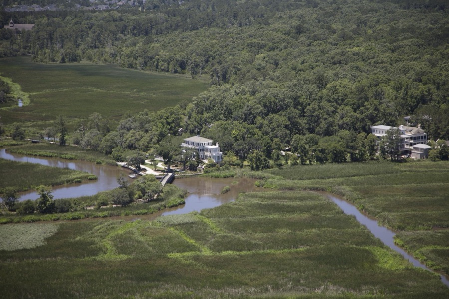
Highsmith, Carol M, 2017. Library of Congress
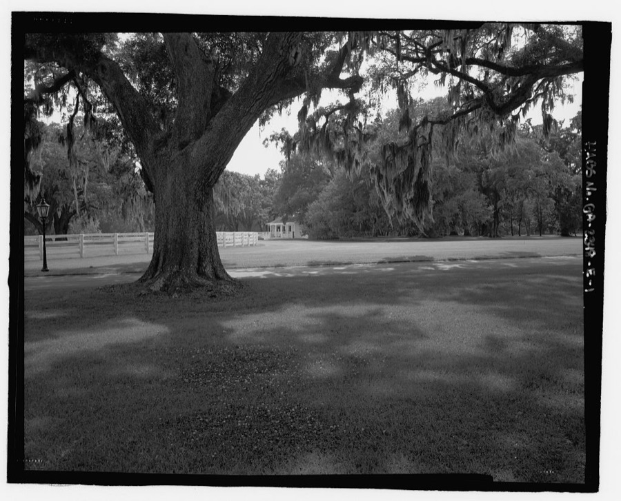
Photographer not recorded. Library of Congress
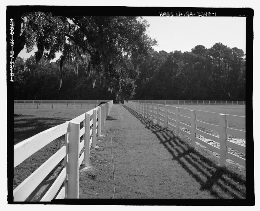
Photographer not recorded. Library of Congress
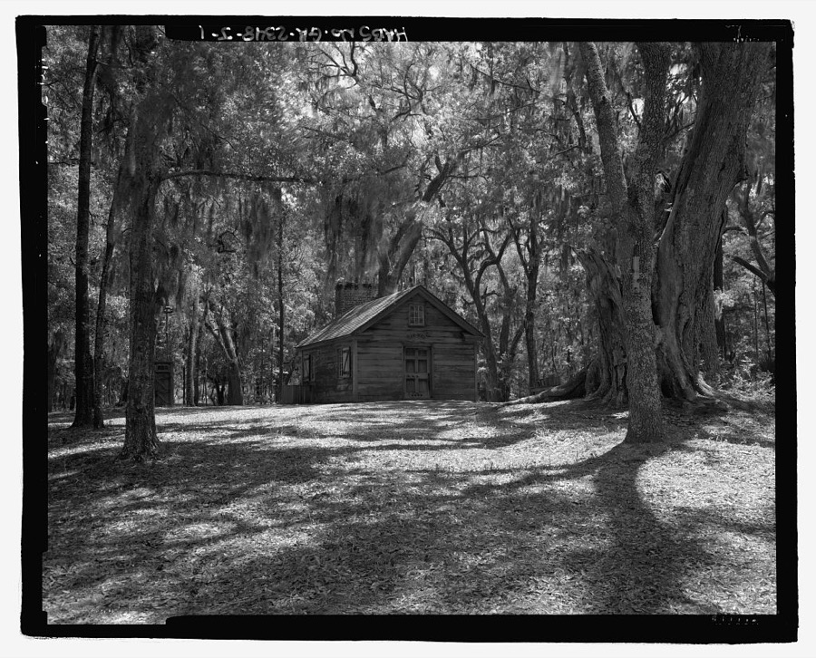
Photographer not recorded. Library of Congress
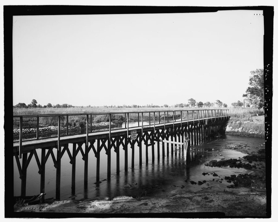
Photographer not recorded. Library of Congress
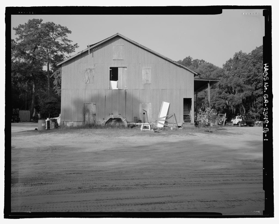
Photographer not recorded. Library of Congress
Every photograph of Bryan County
Fires near this place
207 since 1992Regional context, not property-specific evidence. The federal wildfire occurrence database lists 207 fires within 5 miles of Richmond Hill between 1992 and 2019, burning about 783 acres in total. 6 started naturally. 59 were recorded as arson. Distance is straight-line from the map coordinates, so a fire counted here may appear on a neighbouring settlement's page as well.
| Reported cause | Fires |
|---|---|
| Arson/incendiarism | 59 |
| Debris and open burning | 58 |
| Misuse of fire by a minor | 27 |
| Railroad operations and maintenance | 20 |
| Equipment and vehicle use | 15 |
| Recreation and ceremony | 11 |
| Missing data/not specified/undetermined | 8 |
| Natural | 6 |
| Smoking | 3 |
The most recent of them, most recent first, with the day each was reported and the service that recorded it.
| Date | Cause | Size | Reported by | Name on the report |
|---|---|---|---|---|
| 5 September 2016 | Debris and open burning | 3.4 acres | Georgia Forestry Commission | FY2017-BRYAN SOUTH-003 |
| 5 September 1999 | Arson/incendiarism | under an acre | Georgia Forestry Commission | not named |
| 16 September 2005 | Equipment and vehicle use | under an acre | Georgia Forestry Commission | not named |
| 1 September 2008 | Natural | 6.9 acres | Georgia Forestry Commission | not named |
| 8 August 2006 | Misuse of fire by a minor | 1.5 acres | Georgia Forestry Commission | not named |
| 22 August 1998 | Misuse of fire by a minor | under an acre | Georgia Forestry Commission | not named |
| 21 August 2016 | Natural | 45 acres | Georgia Forestry Commission | FY2017-BRYAN SOUTH-002 |
| 18 August 2016 | Debris and open burning | 1.9 acres | Georgia Forestry Commission | FY2017-CHATHAM-003 |
Settlements close enough to share some of these fires:
Storms near this place
60 of 64 shownRegional context, not property-specific evidence. The National Weather Service names Richmond Hill in 64 storm reports between 1994 and 2025: 31 thunderstorm wind, 20 hail, 10 flash flood, 3 tornado. No death or injury is recorded in these reports. Each account below is quoted exactly as the forecast office filed it, from the NOAA Storm Events Database, and each date opens the federal record of that event.
| When | Event | Place named | Harm | What the report says |
|---|---|---|---|---|
| July 2009 | Thunderstorm Wind | Richmond Hill | $10,000 | Broadcast media relayed a report of a gas station canopy that was damaged along Interstate 95 at exit 87 in Richmond Hill, Georgia. |
| September 2007 | Flash Flood | Richmond Hill | $10,000 | Law enforcement officials reported that numerous roads were closed due to high water in the Richmond Hill area of Bryan County. In addition, water was also reported to be entering several homes in subdivisions around the Richmond Hill area. |
| September 2007 | Flash Flood | Richmond Hill | $10,000 | It was reported that water was starting to rise into housing units in the Belfast Siding area of Richmond Hill. |
| September 2007 | Flash Flood | Richmond Hill | $6,000 | The Bryan County Warning Point reported numerous road closures across the county...especially in and around Richmond Hill. Several cars have been stalled and stranded due to the flash flooding. |
| July 2006 | Thunderstorm Wind | Richmond Hill | $5,000 | Trees and powerlines down off Highway 17 near Richmond Hill. |
| June 1994 | Thunderstorm Wind | Richmond Hill | $5,000 | Several large trees and power poles were downed by thunderstorm winds. Two homes in the Richmond Heights community were damaged by falling trees. |
| May 2010 | Thunderstorm Wind | Richmond Hill | $3,000 | Law Enforcement reported trees down near Highway 144 near the Buckhead subdivision in Richmond Hill, Georgia. |
| June 2012 | Thunderstorm Wind | Richmond Hill | $2,000 | Law enforcement reported trees down along highway 144 near Richmond Hill, Georgia. |
| August 2011 | Thunderstorm Wind | Richmond Hill | $2,000 | The public reported trees down on power lines along Harris Trail Road near the Richmond Hill High School. Report received via twitter. |
| May 1995 | Thunderstorm Wind | Richmond Hill | $2,000 | Thunderstorm winds knocked several large tree limbs, knocking out a power substation. |
| August 2025 | Thunderstorm Wind | Richmond Hill | $1,000 | The Bryan County 911 Call Center reported one tree down along Highway 17 near the city limits of Richmond Hill, Georgia. |
| June 2010 | Thunderstorm Wind | Richmond Hill | $1,000 | The public reported 1 tree down on Highway 144 between Highway 17 and Interstate 95. |
| April 2006 | Thunderstorm Wind | Richmond Hill | $1,000 | Thunderstorm winds produced a 65 mph wind gust at the McAllister Marina. The winds knocked down tree limbs and blew lawn furniture around. |
| September 2011 | Thunderstorm Wind | Richmond Hill | $500 | The Public reported a pine tree down in Richmond Hill, Georgia. |
| August 2025 | Thunderstorm Wind | Richmond Hill | - | Broadcast media shared photos of numerous large tree branches and one flag pole blown down in the Piercefield neighborhood of Richmond Hill, Georgia. |
| August 2025 | Thunderstorm Wind | Richmond Hill | - | Broadcast media relayed a picture via social media showing the top of a large oak tree snapped off in the backyard of a home along Harris Trail Road. |
| August 2025 | Flash Flood | Richmond Hill | - | A member of the public relayed that floodwaters entered their home and garage along Miner Drive. |
| August 2025 | Flash Flood | Richmond Hill | - | A member of the public reported Reese Drive impassable due to floodwaters across the roadway, extensive yard flooding and water entering the kitchen of their home. |
| April 2023 | Hail | Richmond Hill | - | A resident in the 70 block of Gentry Way reported golf ball sized hail. |
| April 2023 | Hail | Richmond Hill | - | The public reported tennis ball size hail in Richmond Hill. |
| April 2023 | Thunderstorm Wind | Richmond Hill | - | Pictures relayed via social media indicated multiple trees down along Timber Trail. |
| June 2023 | Thunderstorm Wind | Richmond Hill | - | The Bryan County 911 Call Center reported a tree down in Richmond Hill. |
| June 2023 | Thunderstorm Wind | Richmond Hill | - | A 911 call center reported numerous trees down in the Richmond Hill area. |
| February 2021 | Hail | Richmond Hill | - | Multiple reports of varying size hail and images via social media indicated 1 inch diameter hail in Richmond Hill, GA. |
| August 2018 | Thunderstorm Wind | Richmond Hill | - | The Bryan County 911 Call Center reported two trees down in Richmond Hill. One small tree fell on a car in the Richmond Hill Library parking lot. The second tree was uprooted in the White Oak Village subdivision. |
| January 2017 | Hail | Richmond Hill | - | A trained spotter reported penny sized hail and 30 mph wind gusts in Richmond Hill. |
| May 2017 | Hail | Richmond Hill | - | A social media user relayed photographs of hail of to 1 inch in diameter near the intersection of Port Royal Road and Harris Trail in Richmond Hill. |
| May 2017 | Thunderstorm Wind | Richmond Hill | - | A social media user relayed a report of roof shingle damage and small tree limbs blown down. |
| April 2017 | Thunderstorm Wind | Richmond Hill | - | A trained spotter reported 60 mph wind gusts with a passing thunderstorm. |
| April 2017 | Hail | Richmond Hill | - | A trained spotter reported quarter size hail near Richmond Hill, GA. |
| July 2015 | Thunderstorm Wind | Richmond Hill | - | Law enforcement reported a tree down on a house on Egret Circle. |
| February 2013 | Hail | Richmond Hill | - | Broadcast media reported penny size hail. |
| August 2012 | Hail | Richmond Hill | - | A trained spotter reported quarter sized hail in Richmond Hill near the intersection of Highway 17 and Highway 144. |
| May 2011 | Hail | Richmond Hill | - | Broadcast media relayed a report of penny to nickel size hail in Richmond Hill, Georgia. |
| May 2011 | Hail | Richmond Hill | - | The Public reported quarter size hail in Richmond Hill, Georgia. |
| May 2011 | Hail | Richmond Hill | - | A Fire Department official reported penny size hail, 1 mile south of Richmond Hill, Georgia. |
| July 2010 | Hail | Richmond Hill | - | Law enforcement reported half dollar size hail in Richmond Hill, Georgia. |
| June 2010 | Hail | Richmond Hill | - | The public reported 1 inch hail along Highway 17. |
| May 2009 | Hail | Richmond Hill | - | The Bryan county emergency manager relayed a report from law enforcement of nickel size hail on interstate 95 near Richmond Hill, Georgia. |
| May 2009 | Hail | Richmond Hill | - | The public reported penny size hail in Richmond Hill, Georgia. |
| June 2008 | Hail | Richmond Hill | - | Nickel to quarter size hail was reported in Richmond Hill, Georgia. |
| June 2008 | Hail | Richmond Hill | - | Law enforcement reported quarter size hail on Fort McAllister Road, in Richmond Hill, South Carolina. |
| September 2007 | Flash Flood | Richmond Hill | - | The Bryan County Warning Point reported that several roads were still closed and under water due to heavy rainfall across the county. |
| September 2007 | Flash Flood | Richmond Hill | - | It was reported that Miner Drive was closed and blocked off in the Mulberry subdivision. Numerous streets were also reported to be closed on Main Street. |
| September 2007 | Flash Flood | Richmond Hill | - | The Bryan County Warning Point reported that 10 roads were closed across the county due to flooding associated with heavy rainfall. |
| April 2005 | Thunderstorm Wind | Richmond Hill | - | Thunderstorm winds knocked down trees. |
| October 2005 | Flash Flood | Richmond Hill | - | Heavy rainfall associated with Tropical Storm Tammy flooded Russian Street near the intersection with Highway 144. |
| July 2004 | Thunderstorm Wind | Richmond Hill | - | Trees down at Waterford Landing. |
| July 2004 | Thunderstorm Wind | Richmond Hill | - | Trees down on Interstate 95 northbound at mile marker 85. |
| September 2004 | Tornado (F0) | Richmond Hill | - | A weak tornado knocked down trees and power lines. |
| April 2003 | Flash Flood | Richmond Hill | - | Flooding occurred along Highway 144. The road became impassable for a while. |
| May 2003 | Thunderstorm Wind | Richmond Hill | - | Several trees and large limbs were down. |
| April 1998 | Tornado (F1) | Richmond Hill | - | Several trees uprooted or snapped off as F1 ended cycle of destruction from the parent thunderstorm that moved from Long County through Liberty to the western edge of Bryan. |
| June 1998 | Thunderstorm Wind | Richmond Hill | - | Trees and powerlines down. |
| May 1997 | Thunderstorm Wind | Richmond Hill | - | Trees down. |
| November 1995 | Tornado (F0) | Richmond Hill | - | Tornado was observed on the ground by a guard. No significant damage occurred. |
| March 2003 | Hail | Richmond Hill | - | no account filed |
| March 2001 | Hail | Richmond Hill | - | no account filed |
| July 2000 | Thunderstorm Wind | Richmond Hill | - | no account filed |
| May 1999 | Hail | Richmond Hill | - | no account filed |
Nearest settlements
The eight closest, with where each one stands in the county. Distances are straight-line, computed from the Geographic Names Information System coordinates.
| Map | Place | Distance | Sheets |
|---|---|---|---|
| Bryan Neck (historical) | 0.9 miles | 18 | |
| Brisbon | 1.5 miles | 18 | |
| Port Royal | 2.4 miles | 18 | |
| Rabbit Hill | 2.9 miles | 18 | |
| Daniel | 3.6 miles | 18 | |
| Myrtle Grove | 4.8 miles | 17 | |
| Buckhead | 6.0 miles | 17 | |
| Fort McAllister | 6.6 miles | 17 |
Elsewhere
Matched on this settlement's Geographic Names Information System number rather than its name, so it cannot be a different place of the same name in another state.
| Wikipedia article on Richmond Hill | An encyclopaedic summary. Its text is share-alike, so it is linked here rather than copied. |
| Wikidata item Q581910 | The structured record the population and elevation above come from. Public domain (CC0). |
Provenance
This settlement is recorded in the Geographic Names Information System as feature 342353. The sheet list is computed by point-in-boundary test against the United States Geological Survey's historical topographic inventory. Both are works of the United States government and carry no copyright under 17 U.S.C. 105.
Wildfire. Short, Karen C. 2022. Spatial wildfire occurrence data for the United States, 1992-2020 [FPA_FOD_20221014]. 6th Edition. Fort Collins, CO: Forest Service Research Data Archive. https://doi.org/10.2737/RDS-2013-0009.6 Collected with United States Government funding and usable without additional permissions or fees.
Storms. NOAA National Centers for Environmental Information, Storm Events Database https://www.ncei.noaa.gov/stormevents/ A work of the United States government, no copyright under 17 U.S.C. 105. Narratives are quoted verbatim from the National Weather Service report and are not edited or summarised.