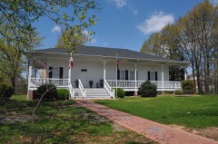
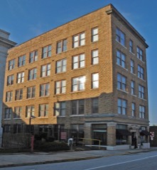
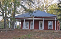
Block
From the record
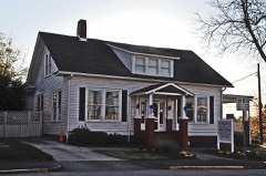
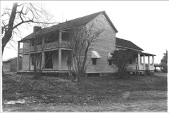
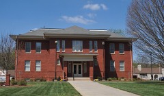
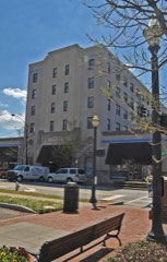
22 National Register listings published here.
Sources: the National Register database, National Park Service
41 topographic sheets and 14 fire insurance atlases across 2 places.
22 National Register listings published here.
Sources: the National Register database, National Park Service
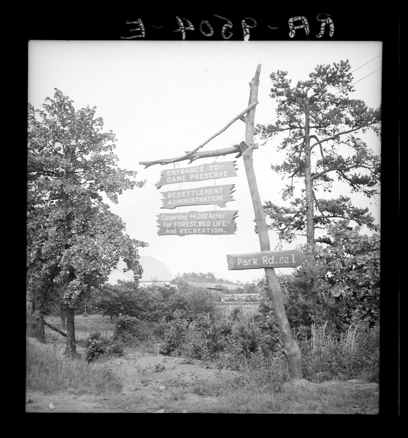
Taken for the Office of War Information and the Farm Security Administration, who photographed the country between 1935 and 1944. Works of United States government photographers, with no known restriction on use. Each opens its catalogue record.
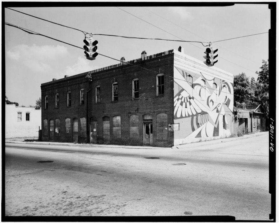
Every property in this county listed on the National Register of Historic Places, with the year it was listed and the federal nomination document.
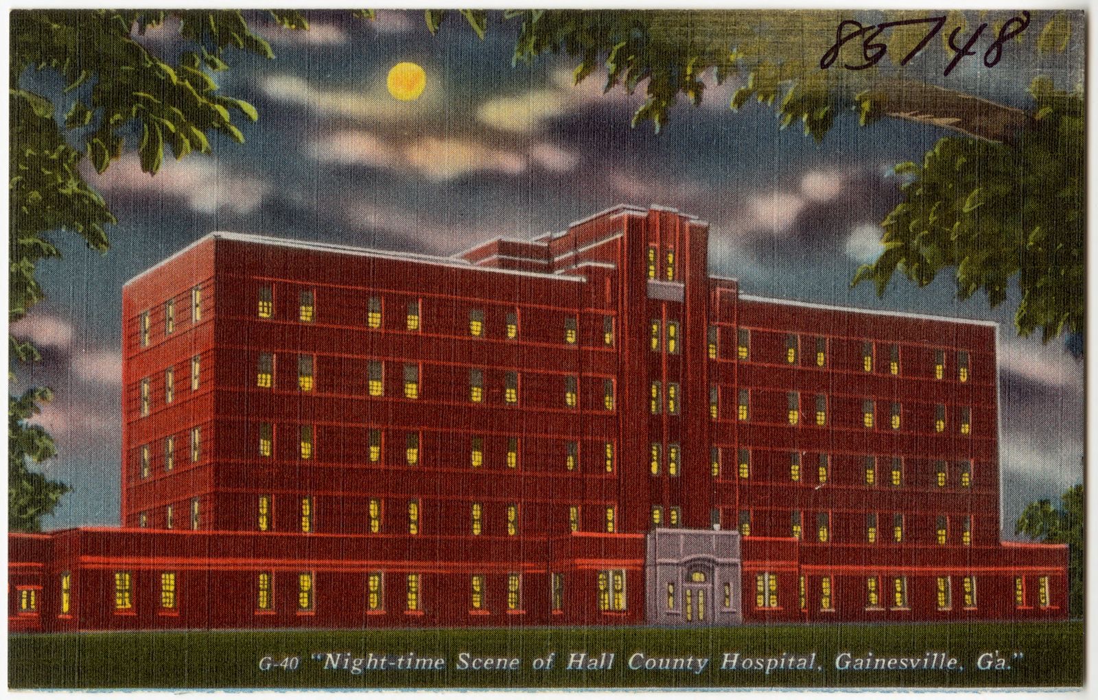
Selected from the Digital Public Library of America's 2 image records catalogued for this county. Every one shown here carries a public-domain status or a licence that permits reuse on a site that carries advertising; non-commercial, share-alike and restricted images are excluded. The selection is spread across the county's towns (at most eight per town), so no single institution's bulk upload crowds out the rest. Each opens the holding library's record, and the complete set at the Digital Public Library of America is one click away.
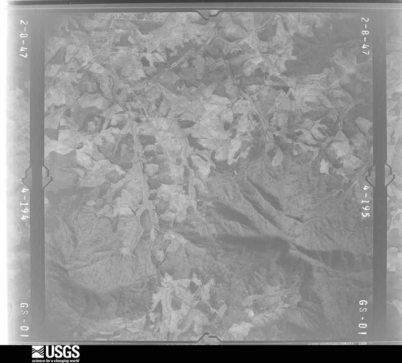
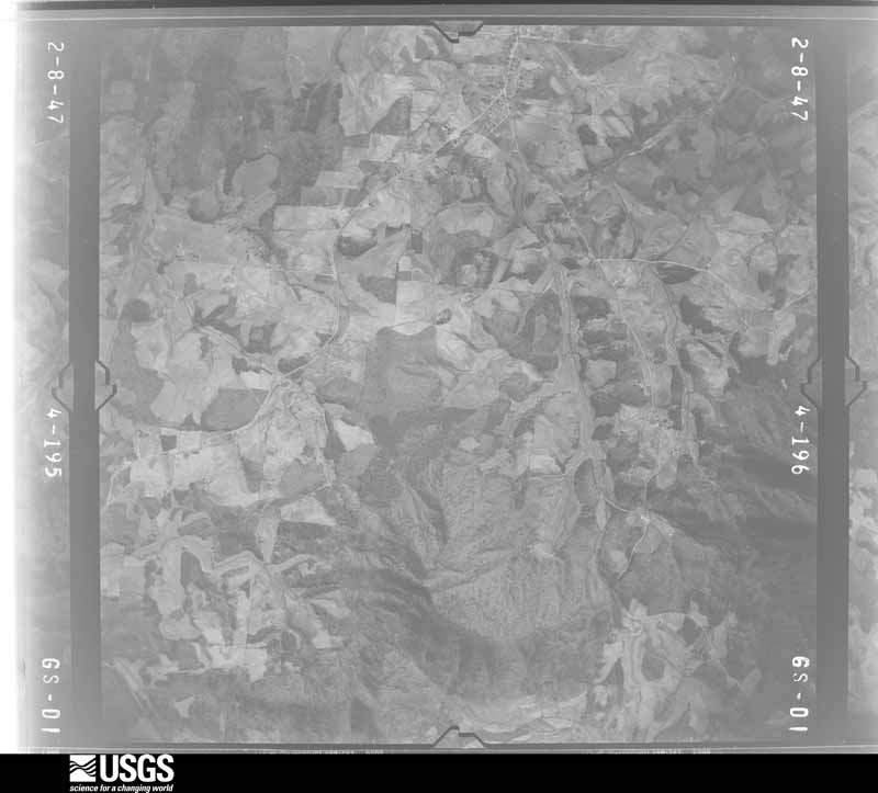
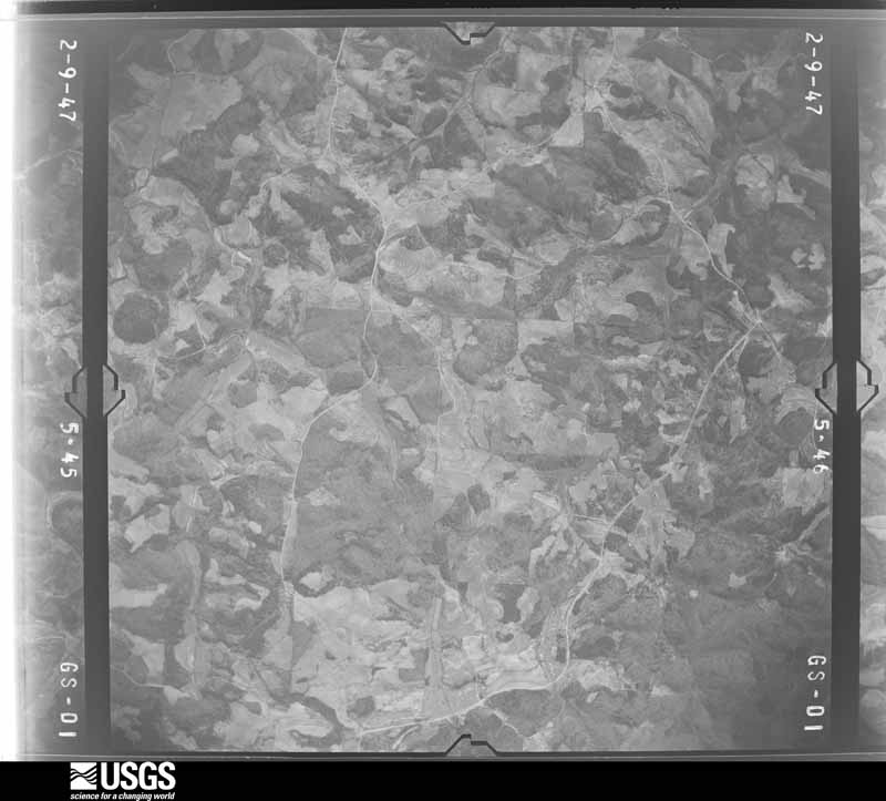
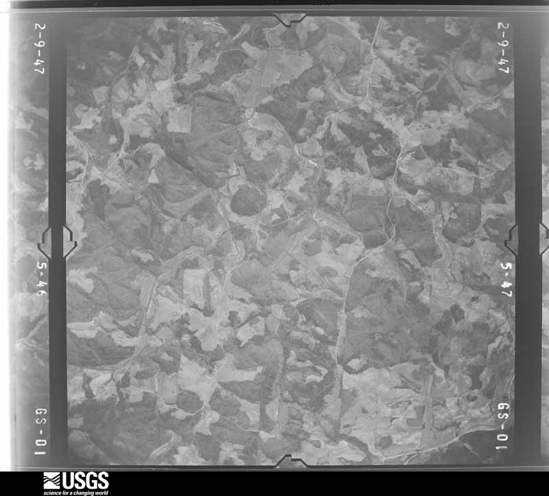
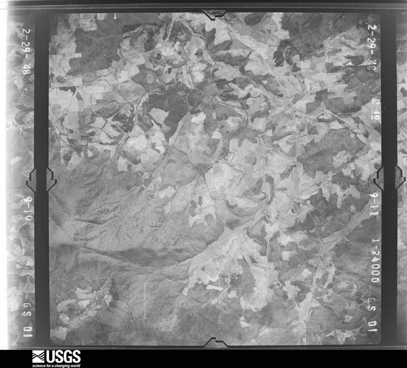
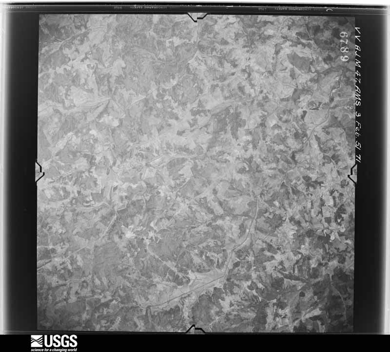
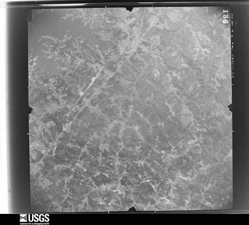
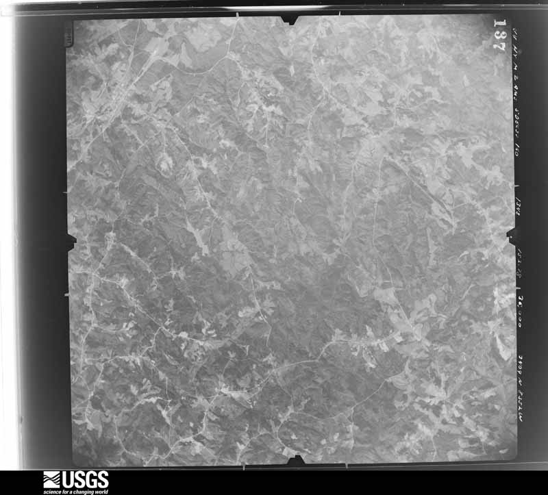
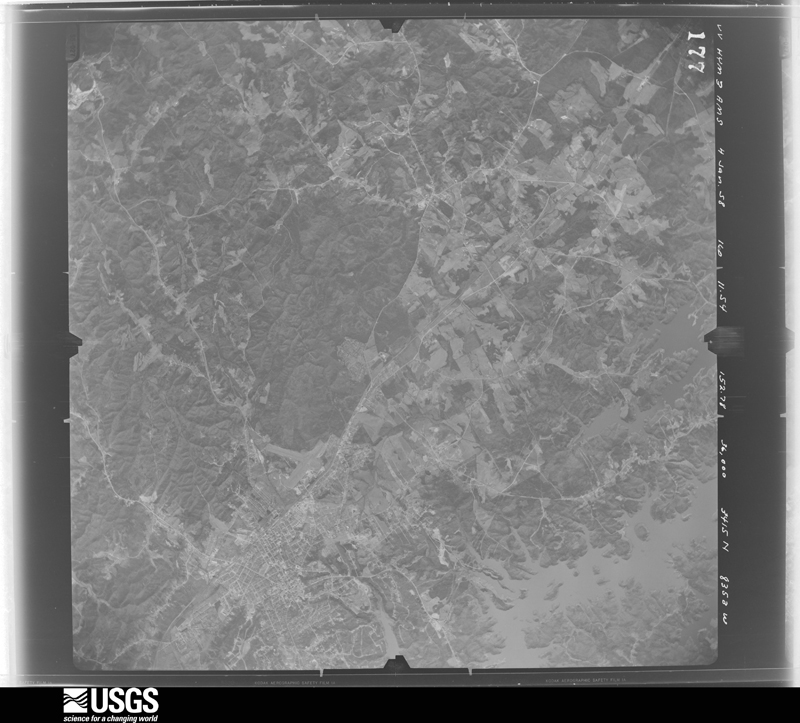
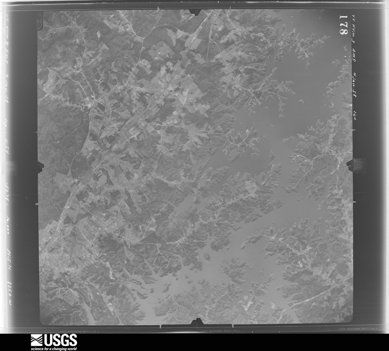
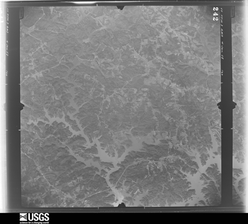
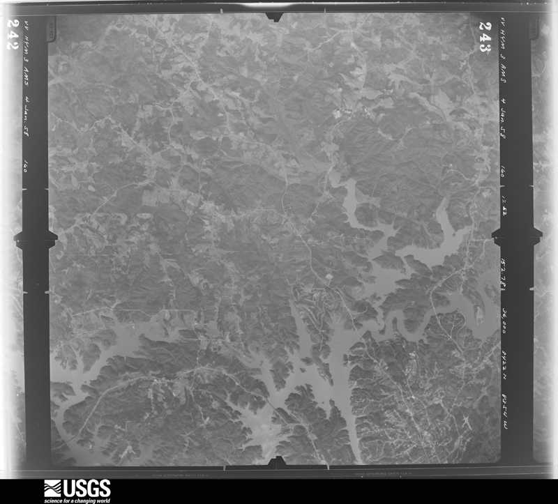
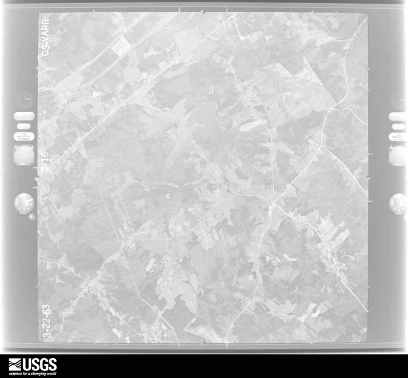
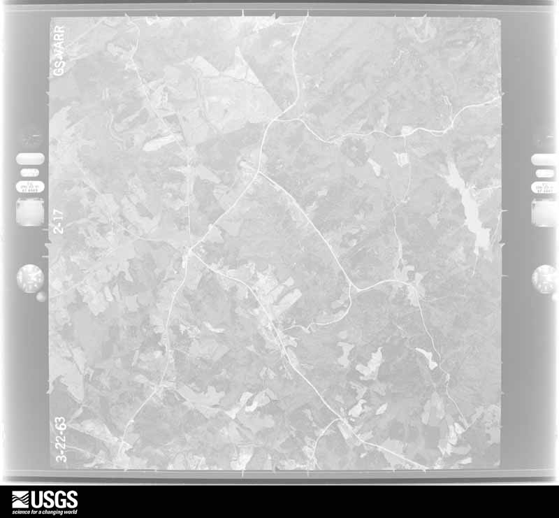
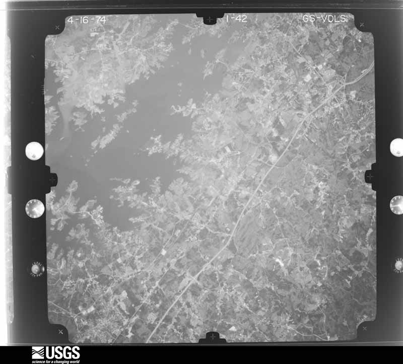
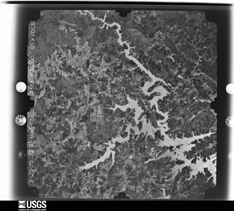
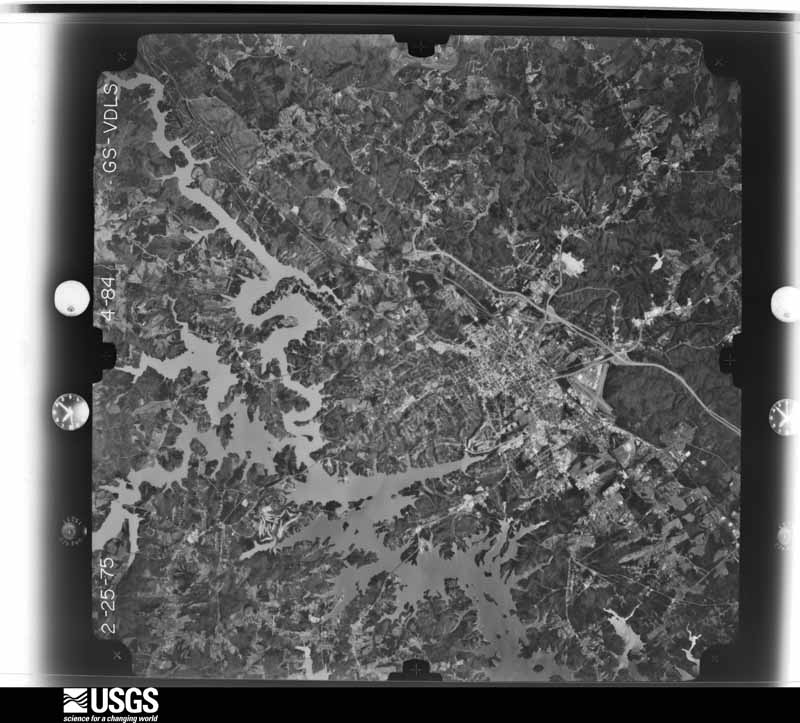
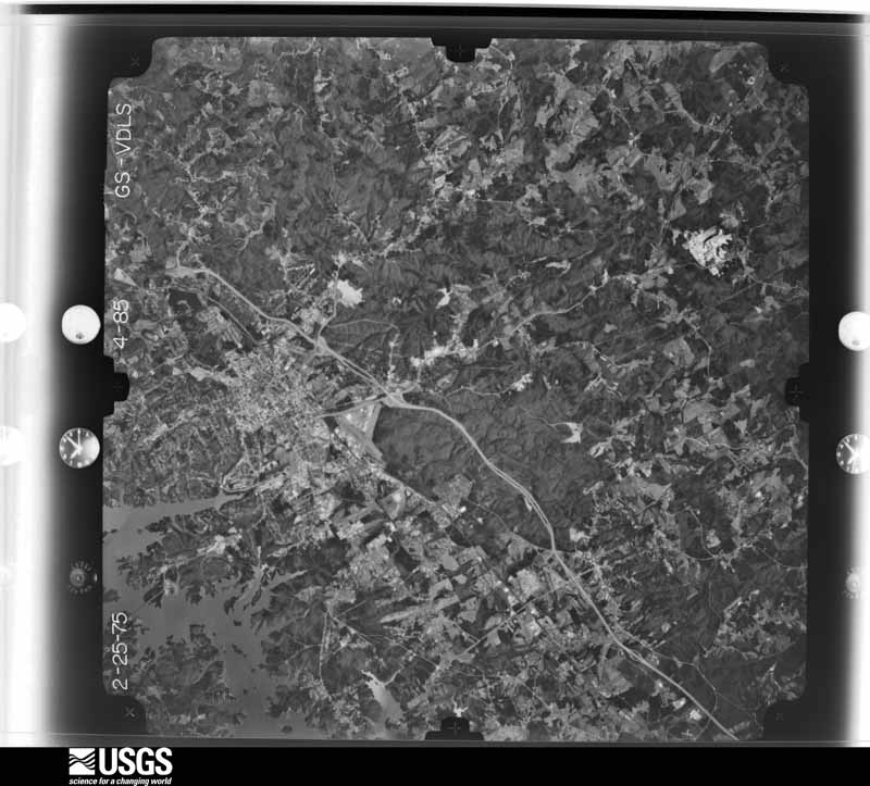
Flown by the U.S. Geological Survey between 1937 and 1989, the Aerial Photo Single Frames collection is the definitive mid-century view of the land: fields, roads and rivers as the camera saw them. The Survey holds 1,111 frames inside the rectangle that bounds this county; the 36 frames below were taken over the county itself, chosen across the decades of flights (at most four a year from that rectangle), so one flight cannot crowd out the rest. The full set is free to browse and download at EarthExplorer under the dataset Aerial Photo Single Frames.
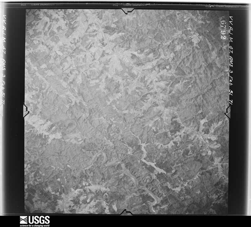
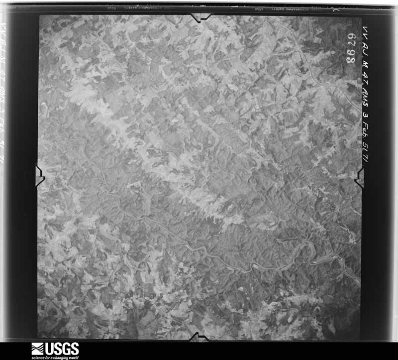
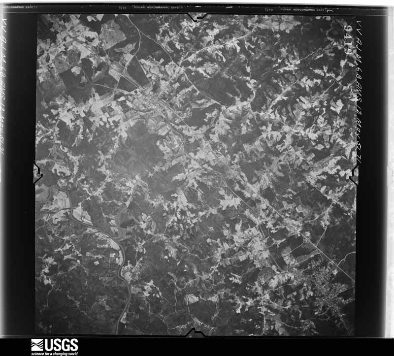
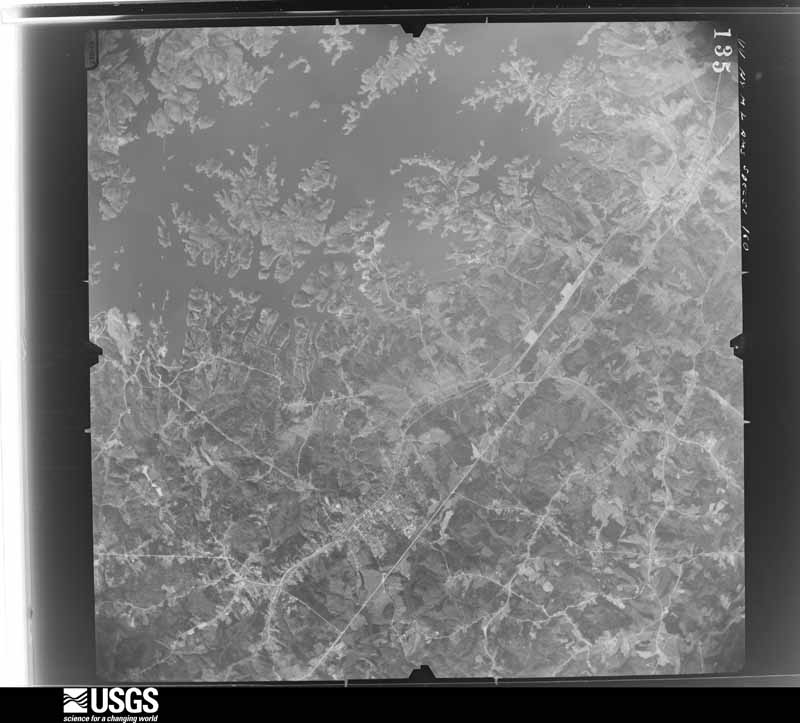
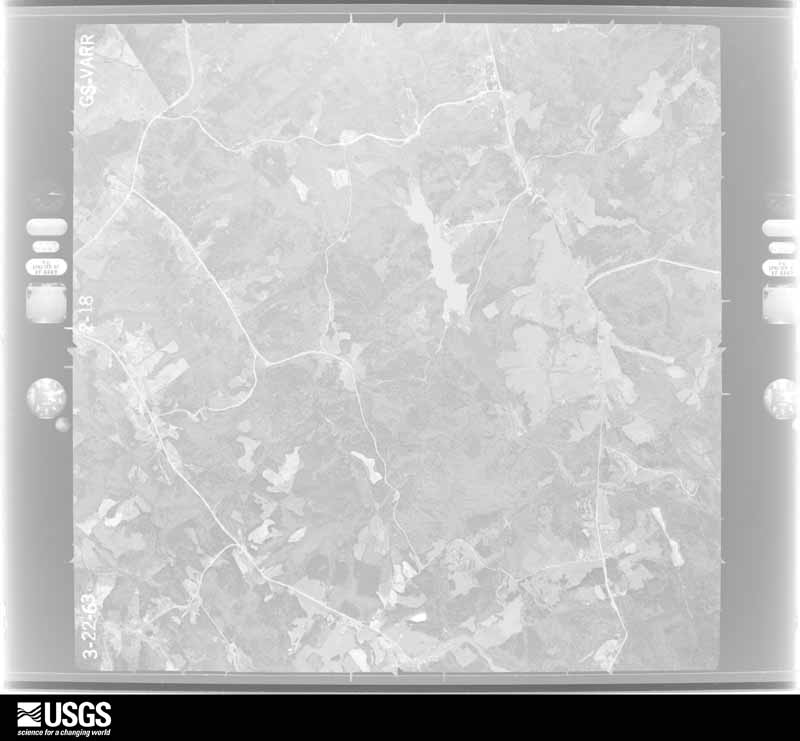

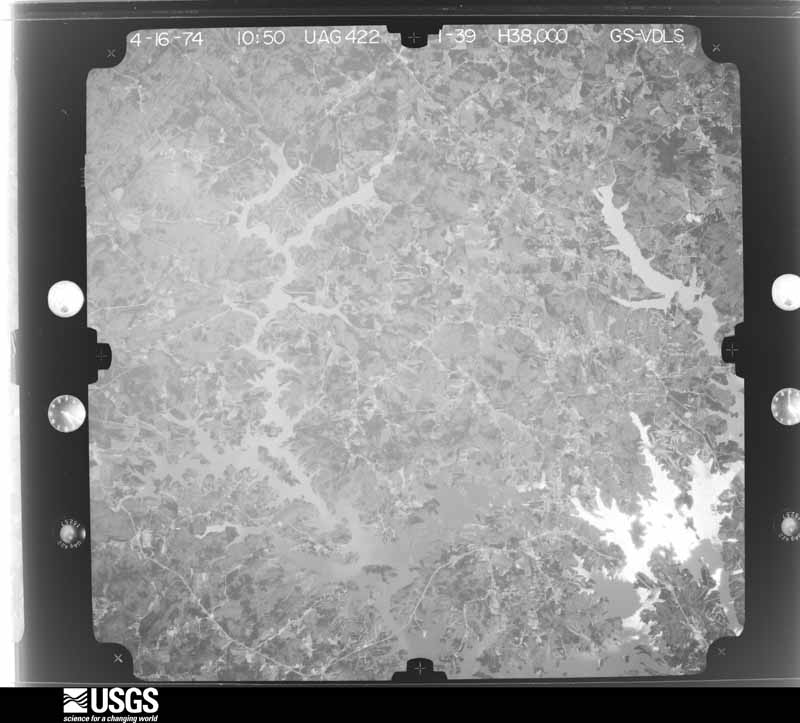
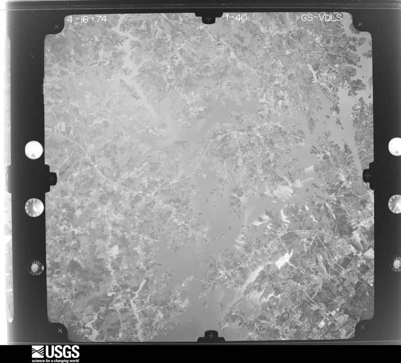
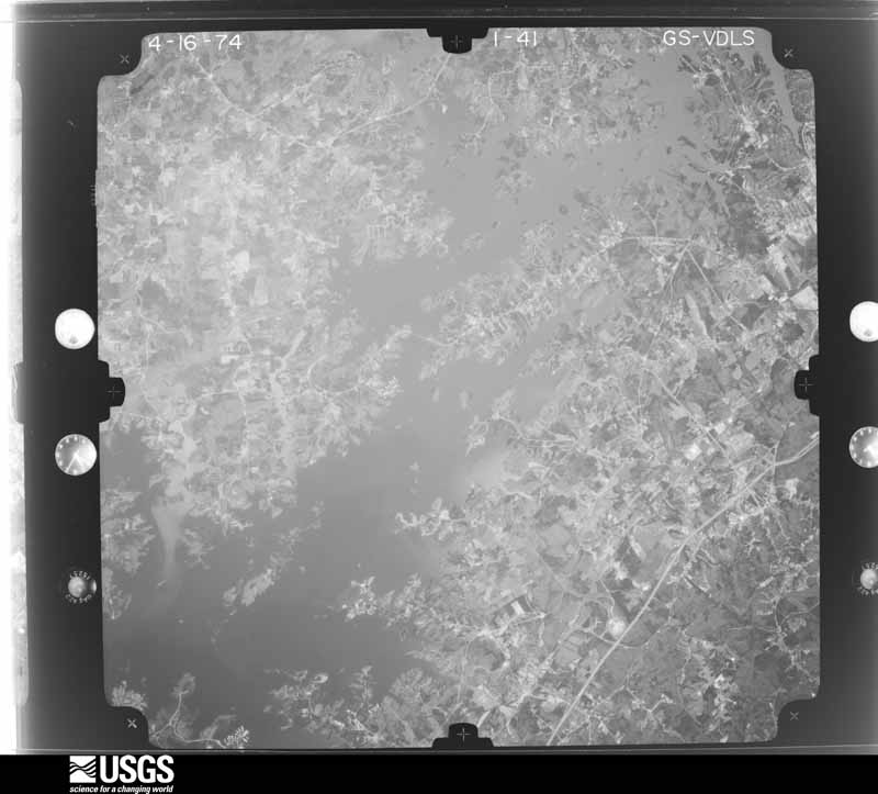
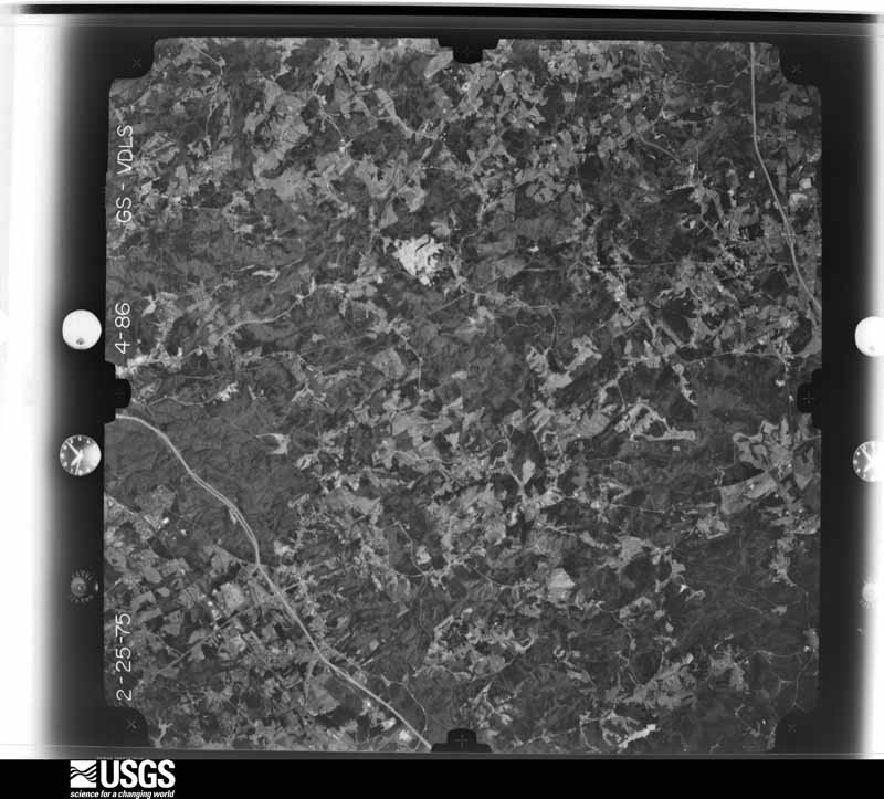

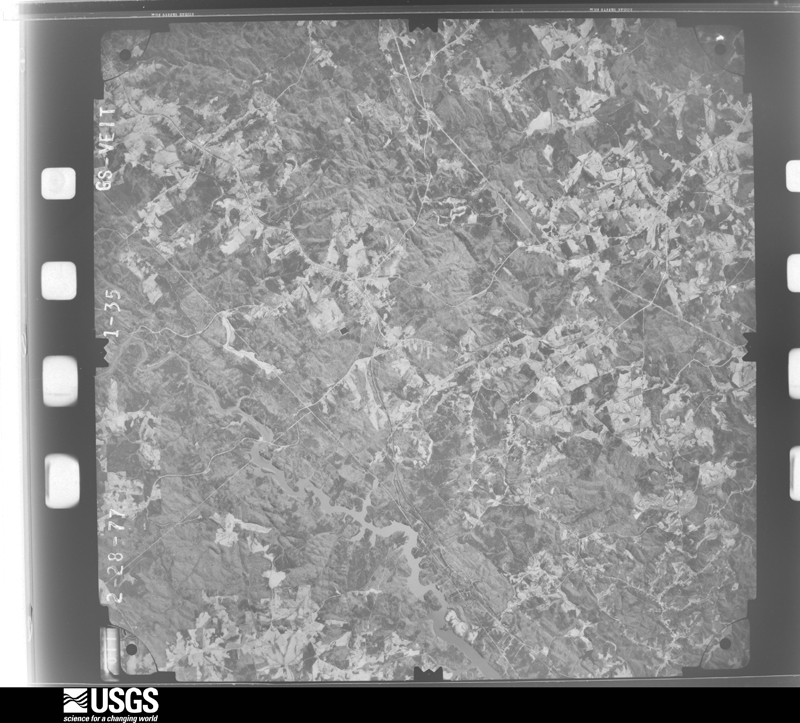
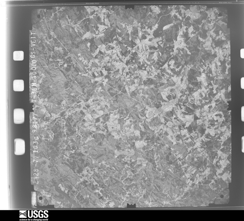
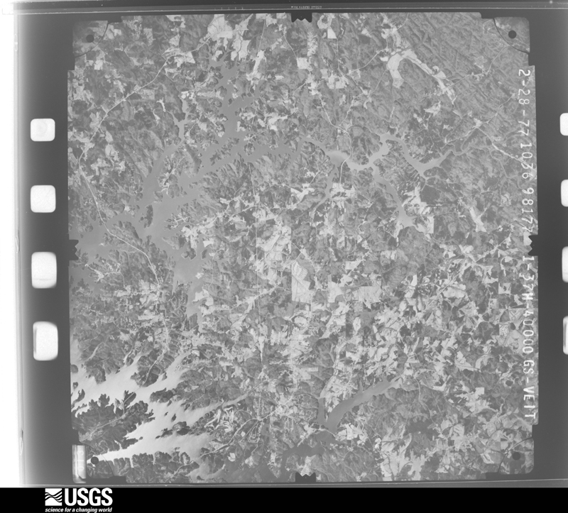
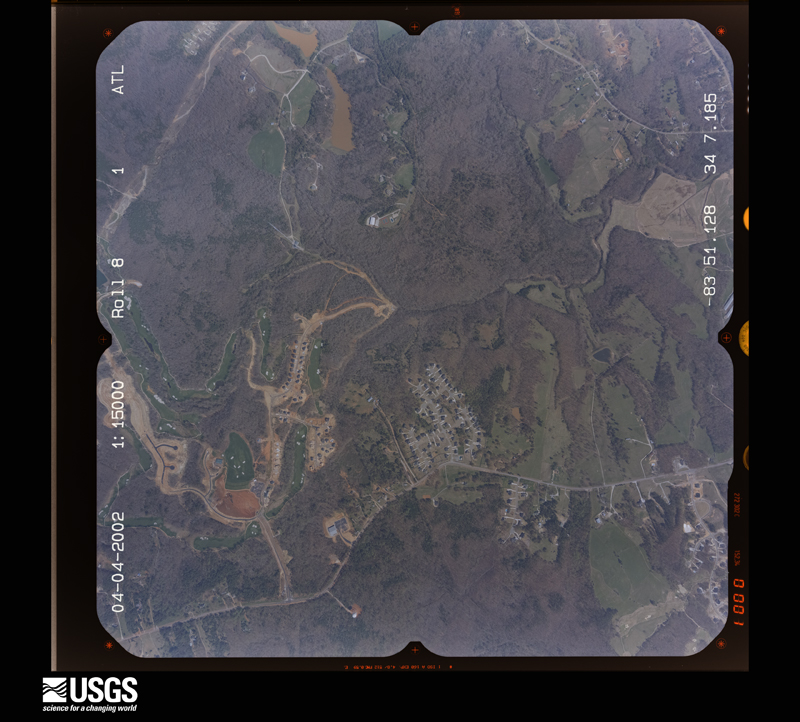
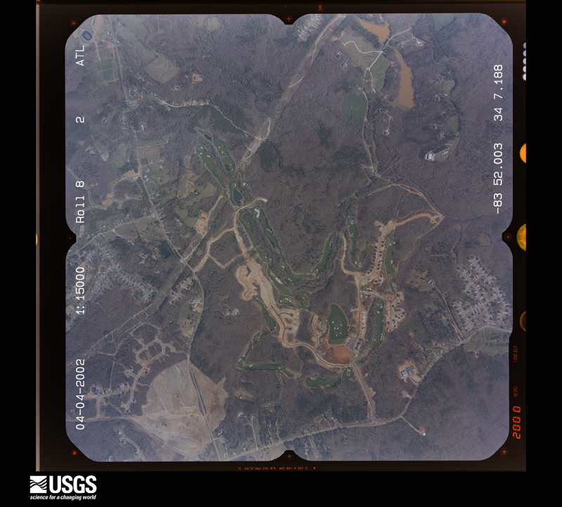
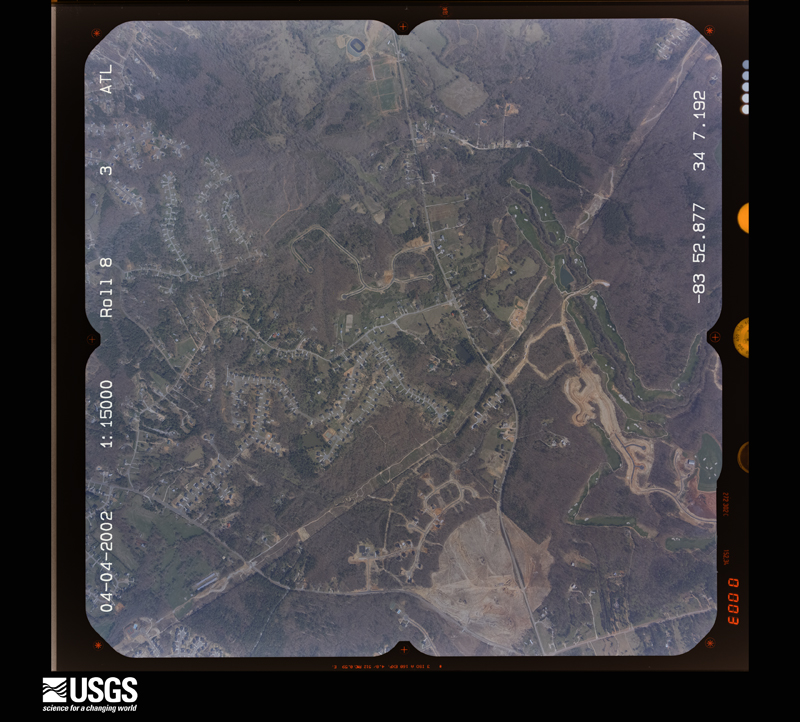
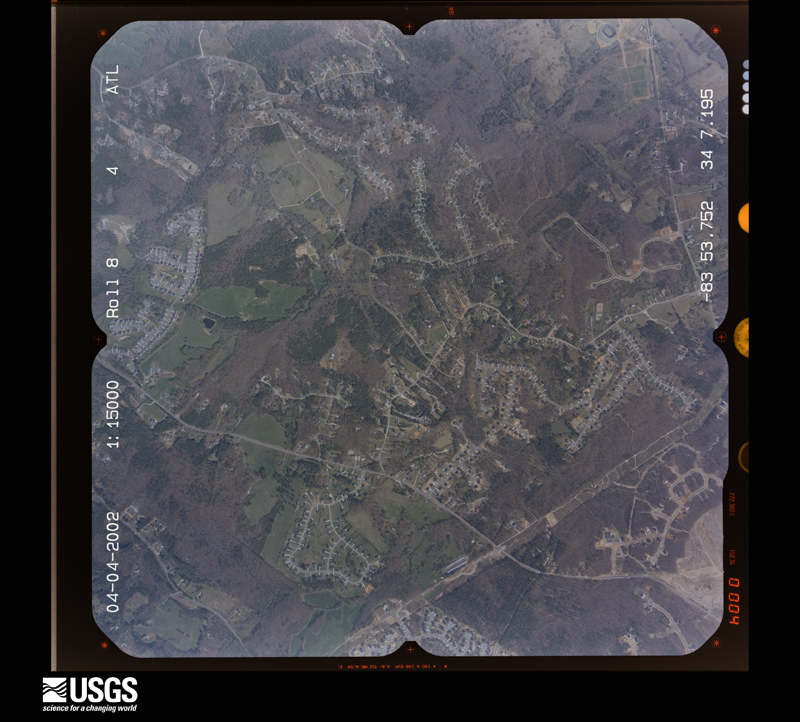
The thermometers that kept this county's weather, and the gages that measured the flow of its streams, as the federal records hold them. The extremes below are measured values from those records, not estimates.
Who lived here in 1950, one enumeration district at a time, as the Census Bureau described each district. Each row opens its official National Archives result, with Population Schedules and ED Maps available there.
Every wildfire the federal occurrence database records inside this county: 1,266 of them, burning about 2,247 acres. 21 started naturally and 191 were recorded as arson. Each settlement page carries the fires within five miles of it.
| Reported cause | Fires |
|---|---|
| Debris and open burning | 684 |
| Arson/incendiarism | 191 |
| Equipment and vehicle use | 96 |
| Missing data/not specified/undetermined | 95 |
| Misuse of fire by a minor | 90 |
| Smoking | 42 |
| Recreation and ceremony | 33 |
| Natural | 21 |
| Railroad operations and maintenance | 14 |
The five largest, by the area the report gives. One of them was set deliberately.
| Date | Cause | Size | Reported by | Name on the report |
|---|---|---|---|---|
| 12 March 2001 | Missing data/not specified/undetermined | 43 acres | Georgia Forestry Commission | FY2001-WHITE-019 |
| 25 March 2005 | Debris and open burning | 37 acres | Georgia Forestry Commission | not named |
| 9 February 2009 | Debris and open burning | 36 acres | Georgia Forestry Commission | not named |
| 16 March 2006 | Debris and open burning | 36 acres | Georgia Forestry Commission | not named |
| 1 December 1998 | Debris and open burning | 36 acres | Georgia Forestry Commission | not named |
| 2 March 1996 | Debris and open burning | 34 acres | Georgia Forestry Commission | not named |
| 8 November 2014 | Debris and open burning | 28 acres | Georgia Forestry Commission | FY2015-HALL-005 |
| 11 November 2016 | Arson/incendiarism | 26 acres | Georgia Forestry Commission | FY2017-HALL-019 |
Every settlement page carries the fires within five miles of it - see the settlement index below.
The NOAA Storm Events Database holds 454 reports for this county, causing 12 deaths, 151 injuries and about $50,699,350 in recorded property damage. Each settlement page carries the reports that name it.
| Kind of event | Reports |
|---|---|
| Thunderstorm Wind | 240 |
| Hail | 141 |
| Tornado | 28 |
| Flash Flood | 19 |
| Lightning | 15 |
| Flood | 7 |
| Funnel Cloud | 2 |
| Heavy Rain | 2 |
The most serious of them, by death, then injury, then recorded damage. The accounts are quoted exactly as the forecast office filed them.
| When | Event | Place named | Harm | What the report says |
|---|---|---|---|---|
| March 1998 | Tornado (F3) | Murrayville | 10 killed, 96 hurt, $15,000,000 | no account filed |
| July 2005 | Lightning | Gainesville | 2 killed, $750,000 | The Gainesville Times reported that a 14-year old girl and her 17-month old cousin died when lightning struck a tree under which they were standing at Old Federal Park on Lake Lanier. The two died within an hour of the incident at a nearby hospital in Gainesville. The 14-year old was holding the little girl in her arms and standing underneath a tree when lightning struck. The two were not hit directly, but the lightning ran down the tree and into them. Lightning was also to blame for fires at eight homes and two businesses across the county. |
| December 1973 | Tornado (F3) | not stated | 21 hurt, $2,500,000 | no account filed |
| May 1989 | Tornado (F1) | not stated | 11 hurt, $250,000 | no account filed |
| April 1974 | Tornado (F1) | not stated | 8 hurt, $250,000 | no account filed |
| June 1994 | Tornado (F1) | Murrayville; 4W Clerm | 7 hurt, $5,000,000 | Emergency management officials reported a tornado that caused seven injuries and considerable property damage. The tornado lifted and touched down several times along Georgia Highway 283 before receding. The tornado destroyed seven houses, one church, seven mobile homes, one auction barn and uprooted numerous trees along its path. Several other homes suffered minor to moderate damage from the tornado along Georgia Highway 283. |
| June 1994 | Thunderstorm Wind | Clermont | 3 hurt, $500,000 | Straight line thunderstorm winds leveled a mobile home which injured three people, caused minor damage to five other homes and downed several large pine trees two miles northeast of Clermont near Georgia Highway 52. |
| February 1993 | Tornado (F1) | Oakwood to | 1 hurt, $5,000,000 | The tornado touched down in Federal Park about 4 miles west of Oakwood and downed several large trees. The tornado then moved east northeast and caused severe damage to five homes about 2 miles west of Oakwood. The tornado moved east and caused minor damage to a high school and several homes about 1 mile southwest of Oakwood. The tornado moved over Oakwood and damaged 24 duplexes and severely damaged five homes about 0.5 mile southwest of the town center. Residents of the subdivision compared the sound of the tornado to that of a jumbo jet taking off or a loud train. The tornado moved across Interstate 985, about 1 mile south of the center of Oakwood, in which several trees were downed on homes and cars in three divisions. Minor structural damage occurred to several businesses in Oakwood before the tornado dissipated. A total of nearly 100 structures were damaged, of which 45 homes were moderately to severely damaged. One large building destroyed. Over 2,500 electric customers lost power from downed power lines. |
| April 2007 | Thunderstorm Wind | Flowery Branch | 1 hurt, $1,000,000 | A survey conducted by the National Weather Service in Peachtree City, Georgia and damage reports received from the Hall Emergency Management Director, a cooperative observer, and the public confirmed that a microburst with straight-line winds of 70 to 80 mph with isolated damage of 100-110 mph caused considerable damage to a subdivision just east of Interstate-985 and just south of Flowery Branch. The path of damage was approximately one-half mile long and a mile wide. At least 35 homes sustained roof and siding damage and dozens of large trees were blown down or completely uprooted in the area. One home was blown 15 feet off its foundation and destroyed as it collapsed. Windows were blown out of at least one home and several vehicles. Other vehicles were damaged from downed trees or debris. One man was injured when his locked and bolted door blew open with the winds and knocked him into a nearby wall. There were reports of other trees down in the southern part of the county, but especially in the far southern part of the county near the Gwinnett county line. The majority of the damage was confined to Devonshire, Hillsdale, and Glenmore Drives. |
| April 1980 | Tornado (F1) | not stated | 1 hurt, $250,000 | no account filed |
| June 1999 | Thunderstorm Wind | Clermont | 1 hurt, $75,000 | Hall county 911 reported severe thunderstorm winds destroyed a home on H. White Road. The roof of another home was damaged, and several other homes, barns and outbuilding sustained minor damage. There was 1 minor injury as the storm tracked east along the Hall and White county line. |
| March 2017 | Thunderstorm Wind | Westside | 1 hurt, $20,000 | The broadcast media reported that a tree was blown down onto a trailer on Highland Terrace trapping a man inside. The man was taken to an area hospital with unspecified injuries. |
| April 2016 | Thunderstorm Wind | Flowery Branch | $3,000,000 | A National Weather Service survey team found a 4.6 mile long, 0.5 mile wide, path of thunderstorm wind damage stretching from around the Old Federal Road Park on the shores of Lake Lanier northeast to the area around Mundy Mill Road and Millside Parkway northeast of Oakwood. Hundreds of trees were blown down causing damage to over 53 homes. Five homes were destroyed and nine had major damage. No injuries were reported. |
| April 2021 | Hail | Murrayville | $1,800,000 | A retired National Weather Service employee reported hail as big as golf balls on Chestatee Point on Lake Lanier. |
| March 2017 | Hail | Bellton | $1,787,000 | An amateur radio operator reported golf ball size hail. |
| March 2011 | Hail | Flowery Branch | $1,780,000 | The public observed golf ball-sized hail in Flowery Branch. Otherwise, mostly quarter-sized hail was observed elsewhere across the southern part of Hall county near Oakwood and Flowery Branch. WSR-88D radar data suggests that quarter-sized hail likely continued eastward toward Chestnut Mountain. |
| May 2013 | Flash Flood | Flowery Branch | $1,000,000 | Trudy Drive was completely washed out by a drainage branch flowing into Lake Lanier. There was a 50 to 75 foot large gap in the road with at least a 10 foot drop off. Several other roads were closed and damaged by flood waters as drainage branches become rapidly flowing creeks and overwhelmed culverts. These roads included portions of Atlanta Highway, McEver Road, Stephens Road, Flowery Way, Spring Street and Cove Creek Road in the Flowery Branch area. |
| April 2009 | Hail | Flowery Branch | $1,000,000 | The public observed nickel to quarter-sized hail near the Gwinnett county line south of Flowery Branch and golf ball-sized hail in the Gainesville area. Radar data suggests that large hail, likely near golf ball-sized hail continued northeast from Gainesville toward Lula. |
| March 2008 | Hail | Murrayville | $1,000,000 | Numerous reports of large hail, the size of quarters and larger, were received from the public and the broadcast media across the northern half of Hall county. Nickel-sized hail was reported by the public in Murrayville in northwest Hall county, ping-pong ball-sized hail west of Gainesville on the east side of Lake Lanier, with at least a half-a-dozen reports of ping-pong to golf ball-sized hail around the Gainesville area. The Times of Gainesville reported that Hardy Chevrolet had up to 500 vehicles suffering some form of damage from hail. At Moss Robertson Cadillac/Mazda/Isuzu, more than 100 vehicles were damaged from hail. Milton Martin Honda had 63 vehicles damaged from hail. |
| June 2008 | Hail | Gainesville | $1,000,000 | Several reports of large hail were received from the public from the area between Murrayville and Gainesville. Golf ball-sized hail was observed two miles north of Gainesville, while quarter-sized hail was observed four to five miles northwest of Gainesville, or just southeast of Murrayville. Hail covered the ground in these later areas. A few trees were also blown down in the area. |
| August 2008 | Tornado (EF1) | Blackshear Place | $750,000 | A damage survey conducted by the National Weather Service Forecast Office in Peachtree City, Georgia and the Hall County Emergency Management Agency confirmed that a second tornado had touched down in Hall county. This was an EF1 tornado and occurred in the southwest part of the county. The tornado was broken into two segments, the first 3/4 mile long and the second 2.25 miles long. The tornado first touched down about one mile southwest of Oakwood and traveled on the ground for approximately 3/4 mile before lifting. Within this segment of the tornado 20 to 30 trees were knocked down in the area. Up to 10 homes in the area sustained minor roof damage. Oakwood Elementary School also suffered minor damage. Maximum path width for this segment of the tornado was 100 yards. About five minutes later the tornado touched down again, this time approximately 4 3/4 mile southwest of Gainesville. This time the tornado was on the ground for 2.25 miles with a maximum path width of 200 yards. Within this segment of the tornado, dozens of trees were uprooted or blown over. Up to 15 homes in the El Rancho Estates Subdivision suffered at least minor roof damage from the downed trees and wind. Lyman Elementary School also sustained minor damage. Maximum wind for this tornado was estimated to be 90 mph. |
| August 2008 | Tornado (EF1) | Gnesville Cotton Mil | $550,000 | A survey conducted by the National Weather Service Forecast Office in Peachtree City, Georgia and the Hall County Emergency Management Agency confirmed that an EF1 tornado touched down approximately six miles north-northeast of Gainesville, or about 3 miles east-southeast of Murrayville near Mount Vernon Road and tracked on the ground for approximately one mile before lifting. Nearly 200 trees were uprooted or blown down. The downed trees and wind caused damage to approximately 20 homes in the area. The maximum path width of the tornado was about 200 yards. Maximum wind speed in the tornado was estimated to be 90 mph. |
| June 2001 | Flash Flood | Gainesville | $500,000 | The Gainesville Times newspaper reported that excess rainfall from thunderstorms, on the order of 4 or more inches during a two to three hour period, resulted in flooding of Flat Creek and the subsequent flooding of Downtowner Mobile Home Park on McConnell Road. Twenty-five mobile homes were damaged or destroyed by the flood waters. Flood waters rose up above the doors and windows of the mobile homes. In addition, several roads in Gainesville were flooded and a section of the Atlanta Highway had to be closed. On Thompson Bridge Road, a Publix Grocery Store was flooded by overflowing and blocked drains. However, water was only 4-5 inches deep in the store and little significant damage was reported here. |
| June 1994 | Thunderstorm Wind | Gainsville | $500,000 | Straight line winds from a thunderstorm caused severe damage to two homes along Georgia Highway 369 near Lake Sidney Lanier. Both homes suffered extensive roof and window damage. |
| February 1997 | Thunderstorm Wind | Murraysvilee | $500,000 | no account filed |
| July 2000 | Tornado (F1) | Murrayville | $350,000 | An NWS Storm Survey team from the Peachtree City WFO confirmed that an F0 to weak F1 briefly tornado touched down in the Leisure Lakes Village mobile home park area of Murrayville in the far north part of the county. At least half a dozen homes were severely damaged by falling trees. There was also substantial damage reported to other trees and power lines in the same general area. |
| January 2020 | Thunderstorm Wind | Blackshear Place | $300,000 | Numerous reports were received from the Hall County Emergency Manager, the public and local news media of trees and power lines blown down as well as wind damage to the roofs of some homes and businesses across the county in a swath at least 15 miles wide from Oakwood to Clermont. Several homes and businesses, and at least one vehicle, also received damage from falling trees. No injuries were reported. |
| March 2008 | Hail | Gainesville | $300,000 | A storm spotter observed golf ball-sized hail just northwest of Lula. The public observed ping-pong ball-sized hail approximately five miles north of Gainesville along near Georgia Highway 284/Clarks Bridge Road. |
| November 1996 | Tornado (F1) | Murrayville | $300,000 | no account filed |
| August 2005 | Tornado (F0) | Lula | $250,000 | A damage survey conducted by the National Weather Service concluded that an F0 tornado touched down about 1 mile south of Lula and traveled a long nearly 11-mile path to the north-northwest, terminating near Mossy Creek in southeast White county. Eight miles of the tornado path occurred within Hall county. The majority of the damage with this tornado also occurred in Hall county, especially along a six-mile path near Lula. Along this path, hundreds of trees and many power lines were blown down and eighteen homes, six of which were mobile homes, sustained minor to moderate damaged. The damage was confirmed by the Hall county Sheriff and the Hall County Emergency Management Director at the time of the incident. The overall tornado path within Hall county was eight miles long and 50 yards wide. |
| April 1989 | Tornado (F2) | not stated | $250,000 | no account filed |
| March 1979 | Tornado (F1) | not stated | $250,000 | no account filed |
| August 2020 | Thunderstorm Wind | Flowery Branch | $200,000 | The Hall County Emergency Manager reported significant wind damage in the area from the Holiday Marina to Aqualand Marina. Several docks and structures as well numerous boats were damaged or destroyed. Based on the extent and nature of the damage, wind speeds between 60 and 70 mph were estimated. |
| April 2001 | Lightning | Gainesville | $150,000 | The Times newspaper in Gainesville reported that lightning struck a house on Cedar Creek Road east of Gainesville in eastern Hall county. The lightning ignited a fire in the kitchen which resulted in moderate to heavy damage to the interior of the home and heavy damage to the attic. A utility pole was also struck and set on fire by lightning on the same street. Numerous outages to telephone, cable, and power were reported in the area because of the intense cloud-to-ground lightning. |
| April 2008 | Thunderstorm Wind | Murrayville | $125,000 | The Hall County Emergency Management Director reported that a mobile home was destroyed by thunderstorm winds on Clarks Bridge Road about eight miles northeast of Gainesville. Another home nearby also had a tree fall on the roof causing damage to the structure. Several trees were down in the Wahoo Creek Bridge area on Mount Vernon Road, one which fell on and damaged an unoccupied vehicle. A few trees and power lines were also down in the Murrayville area in northwest Hall county. |
| July 2000 | Tornado (F1) | Lula | $125,000 | An NWS Survey team concluded that an F0 to weak F1 tornado touched down briefly about 3 miles south of Lula in extreme northeast Hall county. The tornado was only on the ground very briefly and lifted before crossing into Banks county. It had a width of 50 to 100 yards. Nonetheless, about one dozen homes were damaged with numerous trees and power lines down in the area as well. The tornado was said to have been visible from the Boy Scout Ranch on Highway 60. Debris was observed swirling in the air. |
| April 1998 | Lightning | Oakwood | $120,000 | Fires caused by lightning strikes destroyed one home on Stacy Drive and damaged three othersin south Hall county. |
| August 2008 | Tornado (EF1) | White Sulphur | $100,000 | A damage survey conducted by the National Weather Service Forecast Office in Peachtree City and the Hall County Emergency Management Agency confirmed that yet a third tornado associated with the remnants of tropical storm Fay touched down in Hall county. This brief tornado touched down just southwest of Gillsville in the extreme northeast part of Hall county and lifted just before reaching the Banks county line. The majority of the damage along this 3/4 mile-long path was done near the city of Gillsville. At least 20 trees were uprooted or blown over along the path of tornado. In addition, the roof was blown off one home at the intersection of Timber Ridge and Hewell Road. Three other homes sustained minor to moderate damage from the wind and downed trees. The maximum path width was determined to be 100 yards. Maximum wind within the tornado was estimated to be 90 mph. |
| November 2002 | Thunderstorm Wind | Countywide | $90,000 | The Hall county Emergency Management Director reported that a chicken house was blown down on Joe Chandeler Road about four miles east of Gainesville. The house and most of the chickens were destroyed. Trees were also blown down in scattered areas around the county. The Times newspaper of Gainesville reported that a very large oak tree was blown down behind Continental Tire on Atlanta Highway, which brought down four spans of electric transmission lines. There were a number of power outages reported across the county because of trees down on power lines. |
| April 2019 | Tornado (EF1) | Brookton | $75,000 | A National Weather Service survey determined that an EF1 tornado with maximum wind speeds 90 mph and a maximum path width of 300 yards touched down in northern Hall County along Napone Road west of Clarks Bridge Road. The tornado travelled east northeast along Napone Road, crossed Clarks Bridge Road and continued east northeast along Glade Farm Road before lifting near Glade Lake before reaching Flat Creek. Numerous trees were blown down or snapped along this path and the steeple was blown off of the Dewberry Baptist Church. No injuries were reported. [04/19/19: Tornado #2, County #1/1, EF-1, Hall, 2019:026]. |
| March 2008 | Thunderstorm Wind | Gainesville | $75,000 | The Hall County Fire and Rescue Department reported that up to 20 trees and several power lines were down in the Gainesville area, and up to three miles south of Gainesville. It was originally reported that a tornado had touched down on the south side of Gainesville, but an aerial survey conducted by the National Weather Service Forecast office in Peachtree City, Georgia in cooperation with the Georgia State Patrol concluded that the damage observed in Hall county was from straight-line winds and not that of a tornado. Several power lines were also down in the area, including several near the intersection of Georgia Highway 53 and McEver Road, about three miles west-southwest of Gainesville. The Gainesville Times reported that two brand new Hondas at Milton Martin Honda were destroyed when a tree was blown down onto them. |
| November 2004 | Thunderstorm Wind | Gainesville | $75,000 | The Hall County Emergency Management Director reported that a home on Camp Spring Drive suffered extensive damage from strong thunderstorm wind gusts. Half of the roof was blown off the home and the garage collapsed. At another location, namely Georgia Highway 60 South, a 100 by 50 foot storage building was destroyed. Many trees were blown down throughout the Gainesville area. |
| May 2002 | Lightning | Belmont | $60,000 | The Times Newspaper of Gainesville reported that lightning struck a century-old south Hall home in Tanner Mill, setting fire to the roof. The resulting fire destroyed half of the roof and damaged the upstairs bedroom. In addition, the remainder of the home sustained water and smoke damage, although most possessions were salvaged. No injuries of deaths were reported with the incident. |
| June 2025 | Thunderstorm Wind | Murrayville | $50,000 | Widespread wind damage swath stretching across central Hall county through Gainesville and continuing eastward. Wind damage indicative of over 80mph wind gusts. |
| July 2023 | Thunderstorm Wind | (Gvl)Gainesville Mem | $50,000 | Reports of 40 to 50 trees down with power outages across Hall County. |
| October 2019 | Thunderstorm Wind | New Holland | $50,000 | The Hall County Emergency Manager reported a tree blown down onto a home on Cloverdale Street causing significant damage to the home. No injuries were reported. |
| April 2019 | Thunderstorm Wind | Yonah | $50,000 | The Hall County Emergency Manager reported a home and shed damaged and numerous trees blown down on Dyer Farm Road in the extreme northeastern corner of the county, near the Mossy Creek State Park. |
| August 2018 | Thunderstorm Wind | Lake Sidney Lanier | $50,000 | A local newspaper reported at least 20 large trees blown down along Arrowhead Drive at Lake Lanier. Two to three homes were damaged by falling trees, no injuries were reported. |
| May 2017 | Thunderstorm Wind | Roberts Xrds | $50,000 | The Hall County Emergency Manager reported that an 80 foot Oak tree was blown down on a house on Chatuge Drive. Several other, smaller, trees were damaged on this street as well. No injuries were reported. |
| February 2011 | Thunderstorm Wind | Murrayville | $50,000 | The Hall County 911 Center reported that a dozen trees were down across the county. A back wall of the Department of Family Services Building on McEver Road was damaged when a tree fell into the structure. Several power lines were also down across the county, with up to 4000 people left without power from the thunderstorm wind event. |
| September 2009 | Flood | Lake Sidney Lanier | $50,000 | The Hall County 911 Center reported that minor to moderate flooding continued across mainly the southern portion of the county. At least three roads were closed in this portion of the county because of flooding. Monetary damage to roads and property in the southern half of the county was estimated to be $50,000 during this time frame. |
| July 2008 | Heavy Rain | Gainesville | $50,000 | An amateur radio operator reported that heavy rain, on the order of 2 inches in an hour or less, caused a roof of a building on Queen City Parkway, just south of downtown Gainesville, to collapse. |
| April 2006 | Thunderstorm Wind | Flowery Branch | $50,000 | The Hall County Emergency Management Director reported that thunderstorm winds caused damage to the roofs of several floating docks and floating walkways at the Aqualand Marina on the southeast end of Lake Lanier. The public reported that two large trees were blown over at a home between Oakwood and Flowery Branch and a freezer was knocked over at the same location. Another report from the public indicated that at least eight trees were down five miles south of Gainesville with minor building damage observed. |
| July 2003 | Thunderstorm Wind | Oakwood | $50,000 | The public, as well as the local Gainesville newspaper, reported that a number of trees, some very large, were blown down around the county, especially in the Oakwood and Flowery Branch areas. Several power lines were knocked down by the fallen trees. Two homes in the southern part of the county sustained damage when large trees, one of them 65-feet tall, fell on the homes. Other reports from the public indicated that shingles were removed from the the roofs of some homes. Over 7000 people in the county were left without power for several hours following the thunderstorm. |
| July 2000 | Thunderstorm Wind | Murrayville | $50,000 | The public, along with several local newspapers, reported numerous trees and power lines down across much of the northern half of Hall county from Murrayville, to Gainesville, to Lula. Several boats docked at the north end of Lake Lanier were also reported to have been turned over. Damage was concentrated in the area north of Little River Bridge on U.S. 129 and south of Clermont. The North Hall neighborhood of Muscadine Valley and River North were particularly hard hit where dozens of pine trees were snapped in half and power lines were downed. This damage was in addition to two separate F0-F1 tornadoes that touched down in Murrayville and Lula during the same time frame. |
| July 1999 | Lightning | Gainesville | $50,000 | A bolt of lightning ignited a fire that gutted a house on the south side of Gainesville. |
| July 1998 | Thunderstorm Wind | Gainesville | $50,000 | Thunderstorm winds knocked trees and power lines down. Some trees fell on houses, causing damage. A church steeple collapsed, a car was turned upside down, and the awning at a service station was damaged. Hall county 911 reported trees were knocked down from Gainesville to the Forsyth county line, with debris all along the route. A 175 foot tower was knocked down. |
| June 2018 | Thunderstorm Wind | Flowery Branch | $30,000 | Hall County Fire/Rescue reported wind damage in and around the Aqualand Marina on Lake Lanier. Several trees were blown down along Lights Ferry Road. A marina dock with 20 people on board separated from its moorings, no injuries were reported. Two docks at the marina were deemed unsafe due to wind damage. |
| April 2016 | Thunderstorm Wind | Oakwood | $30,000 | The public reported a large tree blown down on a house in the Oakwood area. |
| June 2013 | Thunderstorm Wind | Gainesville | $30,000 | The Hall County Emergency Manager reported several trees down in Gainesville. A tree and power lines were down on a car, trapping the occupant, and another tree was downed on a pickup truck, also trapping the occupant. No injuries were reported. Trees and power lines were down along Blueberry Hills Drive, Athens Street, Stallworth Street, MLK Jr. Boulevard, and East Ridge Road. |
The Survey's mineral resources record lists 40 workings inside this county. 3 still produce and 37 are closed or unrecorded. Each settlement page carries the workings within five miles of it.
| Commodity | Workings |
|---|---|
| Gold | 33 |
| Stone, Crushed/Broken | 4 |
| Mica | 3 |
| Manganese | 1 |
The least common of them first, because a county's hundredth gravel pit says nothing its first ten did not.
| Where | Site | Commodity | Status | Recorded |
|---|---|---|---|---|
| Armour Prospect | Manganese | Prospect | ||
| Merck Mine | Mica | Past Producer | ||
| Merk | Gold, Mica | Prospect | Vein | |
| Unnamed Prospects | Mica | Occurrence | ||
| Friendship Quarry | Stone, Crushed/Broken | Producer | ||
| Gainesville Quarry | Stone, Crushed/Broken | Producer | ||
| Gainsville Quarry | Stone, Crushed/Broken | Producer | ||
| Hall County Quarry | Stone, Crushed/Broken | Past Producer | ||
| A.G. Jennings | Gold | Past Producer | Vein | |
| Banks Property | Gold | Past Producer | Vein | |
| Big Joe Mine | Gold | Prospect | Vein | |
| Brenau College | Gold | Prospect | Vein | |
| Cool Spring Church | Gold | Past Producer | Vein | |
| Currahee Mine | Gold | Prospect | Vein | |
| Dean | Gold | Prospect | Vein | |
| Deavours Mine | Gold | Prospect | Placer, Some Vein Prospecting | |
| Elrod/Stephens/Keath/Newton/Ivy Mt./Prater Mines | Gold | Past Producer | Vein | |
| Glade Mine | Gold | Past Producer | Stream Placer | |
| Ivy Mtn. | Gold | Prospect | Vein | |
| Johnson Property | Gold | Past Producer | Vein | |
| Jones | Gold | Past Producer | Vein | |
| Keath | Gold | Prospect | Vein | |
| Longstreet Mine | Gold | Prospect | Vein | |
| Mammoth Mine | Gold | Prospect | Vein | |
| Maynas Mine | Gold | Past Producer | Vein | |
| Muddy Creek Prospect | Gold | Past Producer | Vein | |
| Newton | Gold | Prospect | Vein | |
| O'Shields | Gold | Prospect | Vein | |
| Odom | Gold | Prospect | Vein | |
| Parks Mine Et Al. | Gold | Past Producer | Vein | |
| Pass | Gold | Prospect | Vein | |
| Potosi | Gold | Prospect | Vein | |
| Prater Mine | Gold | Prospect | Vein | |
| Rogers and Anderson Prospect | Gold | Past Producer | Vein | |
| Savage Placer | Gold | Past Producer | Stream Placer | |
| Smith Mine | Gold | Past Producer | Vein | |
| Stephens | Gold | Prospect | Vein | |
| Stowe | Gold | Prospect | Vein | |
| Twitty? Mine | Gold | Past Producer | Vein | |
| Vickers Prospect | Gold | Past Producer | Vein |
Named settlements recorded in the Geographic Names Information System, each with the topographic sheets covering it. Villages, hamlets and abandoned places alike. Each is shown with the nearest named watercourse or landform and the survey quadrangle it falls on. The 2 places that were also surveyed for fire insurance come first, with the number of atlases and photographs held for them.
Flowery Branch census division · 30542 · Flowery Branch quadrangle
16 sheets, 1891 to 1999
Fire insurance: 3 atlases
Gainesville census division · 30501 · Gainesville quadrangle
15 sheets, 1891 to 1979
Fire insurance: 11 atlases
Gainesville census division · 30504 · Chestatee quadrangle
14 sheets, 1891 to 1979
No longer a settlement
Gainesville census division · 30501 · On Sardis Creek · Gainesville quadrangle
15 sheets, 1891 to 1979
Gainesville census division · 30507 · On Candler Branch · Chestnut Mountain quadrangle
15 sheets, 1891 to 1992
Oakwood census division · 30504 · On Balus Creek · Flowery Branch quadrangle
16 sheets, 1891 to 1999
Murrayville census division · 30506 · On Squirrel Creek · Murrayville quadrangle
15 sheets, 1891 to 1979
Gainesville census division · 30504 · On Balus Creek · Chestatee quadrangle
14 sheets, 1891 to 1979
Gainesville census division · 30501 · On Cry Creek · Gainesville quadrangle
15 sheets, 1891 to 1979
Gainesville census division · 30504 · On Balus Creek · Chestatee quadrangle
14 sheets, 1891 to 1979
Gainesville census division · 30567 · Near Price Mountain · Chestnut Mountain quadrangle
15 sheets, 1891 to 1992
Murrayville census division · 30506 · On Squirrel Creek · Murrayville quadrangle
15 sheets, 1891 to 1979
Gainesville census division · 30501 · On Ada Creek · Gainesville quadrangle
15 sheets, 1891 to 1979
Gainesville census division · 30507 · Chestnut Mountain quadrangle
15 sheets, 1891 to 1992
Clermont census division · 30506 · On East Fork Little River · Gainesville quadrangle
15 sheets, 1891 to 1979
Gainesville census division · 30507 · Near Kennedy Mountain · Chestnut Mountain quadrangle
15 sheets, 1891 to 1992
Clermont census division · 30506 · On Limestone Creek · Gainesville quadrangle
15 sheets, 1891 to 1979
Gainesville census division · 30507 · Chestnut Mountain quadrangle
15 sheets, 1891 to 1992
Murrayville census division · 30506 · On Little Yellow Creek · Murrayville quadrangle
15 sheets, 1891 to 1979
Murrayville census division · 30506 · On Squirrel Creek · Clermont quadrangle
13 sheets, 1891 to 1979
Oakwood census division · 30504 · On Mud Creek · Flowery Branch quadrangle
16 sheets, 1891 to 1999
Gainesville census division · 30507 · Gainesville quadrangle
15 sheets, 1891 to 1979
Murrayville census division · 30506 · On Martin Creek · Chestatee quadrangle
14 sheets, 1891 to 1979
Gainesville census division · 30507 · Near Kennedy Mountain · Chestnut Mountain quadrangle
15 sheets, 1891 to 1992
Gainesville census division · 30506 · On Wahoo Creek · Gainesville quadrangle
15 sheets, 1891 to 1979
Gainesville census division · 30506 · On Little River · Gainesville quadrangle
15 sheets, 1891 to 1979
Gainesville census division · 30506 · On Wahoo Creek · Gainesville quadrangle
15 sheets, 1891 to 1979
Murrayville census division · 30506 · Near Banks Mountain · Chestatee quadrangle
14 sheets, 1891 to 1979
Clermont census division · 30506 · On East Fork Little River · Gainesville quadrangle
15 sheets, 1891 to 1979
Gainesville census division · 30504 · On Martin Creek · Chestatee quadrangle
14 sheets, 1891 to 1979
Murrayville census division · 30506 · On Latham Creek · Chestatee quadrangle
14 sheets, 1891 to 1979
Oakwood census division · 30542 · Chestnut Mountain quadrangle
15 sheets, 1891 to 1992
Gainesville census division · 30507 · Gainesville quadrangle
15 sheets, 1891 to 1979
Gainesville census division · 30504 · On Redwine Creek · Gainesville quadrangle
15 sheets, 1891 to 1979
Clermont census division · 30506 · On Limestone Creek · Gainesville quadrangle
15 sheets, 1891 to 1979
Clermont census division · 30527 · On Eubank Creek · Clermont quadrangle
13 sheets, 1891 to 1979
Gainesville census division · 30507 · On Redwine Creek · Chestnut Mountain quadrangle
15 sheets, 1891 to 1992
Murrayville census division · 30506 · Murrayville quadrangle
15 sheets, 1891 to 1979
Gainesville census division · 30506 · On Wahoo Creek · Gainesville quadrangle
15 sheets, 1891 to 1979
Murrayville census division · 30506 · On Sardis Creek · Chestatee quadrangle
14 sheets, 1891 to 1979
Clermont census division · 30506 · On Wahoo Creek · Clermont quadrangle
13 sheets, 1891 to 1979
Clermont census division · 30506 · Near Buckhorn Mountain · Clermont quadrangle
13 sheets, 1891 to 1979
Gainesville census division · 30506 · On Limestone Creek · Gainesville quadrangle
15 sheets, 1891 to 1979
Gainesville census division · 30507 · On Redwine Creek · Chestnut Mountain quadrangle
15 sheets, 1891 to 1992
Murrayville census division · 30506 · On Gin Branch · Murrayville quadrangle
15 sheets, 1891 to 1979
Gainesville census division · 30507 · Near Kennedy Mountain · Chestnut Mountain quadrangle
15 sheets, 1891 to 1992
Oakwood census division · 30504 · On Balus Creek · Flowery Branch quadrangle
16 sheets, 1891 to 1999
Flowery Branch census division · 30542 · Flowery Branch quadrangle
16 sheets, 1891 to 1999
Gainesville census division · 30506 · On Wahoo Creek · Gainesville quadrangle
15 sheets, 1891 to 1979
Murrayville census division · 30506 · On Latham Creek · Chestatee quadrangle
14 sheets, 1891 to 1979
Gainesville census division · 30501 · Gainesville quadrangle
15 sheets, 1891 to 1979
Gainesville census division · 30507 · On Redwine Creek · Chestnut Mountain quadrangle
15 sheets, 1891 to 1992
Gainesville census division · 30501 · On Cry Creek · Gainesville quadrangle
15 sheets, 1891 to 1979
No longer a settlement
Flowery Branch census division · 30518 · Flowery Branch quadrangle
16 sheets, 1891 to 1999
Flowery Branch census division · 30542 · On Mud Creek · Flowery Branch quadrangle
16 sheets, 1891 to 1999
Gainesville census division · 30506 · On Wahoo Creek · Gainesville quadrangle
15 sheets, 1891 to 1979
Gainesville census division · 30506 · On East Fork Little River · Gainesville quadrangle
15 sheets, 1891 to 1979
Flowery Branch census division · 30542 · On Flowery Branch · Flowery Branch quadrangle
16 sheets, 1891 to 1999
Gainesville census division · 30506 · On Wahoo Creek · Gainesville quadrangle
15 sheets, 1891 to 1979
Clermont census division · 30506 · On East Fork Little River · Clermont quadrangle
13 sheets, 1891 to 1979
Gainesville census division · 30506 · On East Fork Little River · Gainesville quadrangle
15 sheets, 1891 to 1979
Gainesville census division · 30542 · Chestnut Mountain quadrangle
15 sheets, 1891 to 1992
Oakwood census division · 30566 · On Balus Creek · Chestatee quadrangle
14 sheets, 1891 to 1979
Murrayville census division · 30506 · On Sardis Creek · Chestatee quadrangle
14 sheets, 1891 to 1979
Oakwood census division · 30504 · On Balus Creek · Flowery Branch quadrangle
16 sheets, 1891 to 1999
Murrayville census division · 30506 · On Squirrel Creek · Murrayville quadrangle
15 sheets, 1891 to 1979
Flowery Branch census division · 30542 · On Flowery Branch · Flowery Branch quadrangle
16 sheets, 1891 to 1999
Gainesville census division · 30506 · On East Fork Little River · Gainesville quadrangle
15 sheets, 1891 to 1979
Gainesville census division · 30506 · On Ada Creek · Chestatee quadrangle
14 sheets, 1891 to 1979
Flowery Branch census division · 30518 · Flowery Branch quadrangle
16 sheets, 1891 to 1999
Clermont census division · 30506 · On East Fork Little River · Clermont quadrangle
13 sheets, 1891 to 1979
Murrayville census division · 30506 · On Latham Creek · Chestatee quadrangle
14 sheets, 1891 to 1979
Clermont census division · 30506 · On East Fork Little River · Clermont quadrangle
13 sheets, 1891 to 1979
Gainesville census division · 30506 · On East Fork Little River · Gainesville quadrangle
15 sheets, 1891 to 1979
Gainesville census division · 30504 · Gainesville quadrangle
15 sheets, 1891 to 1979
Clermont census division · 30506 · On Bear Creek · Clermont quadrangle
13 sheets, 1891 to 1979
No longer a settlement
Gainesville census division · 30506 · On Squirrel Creek · Gainesville quadrangle
15 sheets, 1891 to 1979
Murrayville census division · 30506 · On Latham Creek · Chestatee quadrangle
14 sheets, 1891 to 1979
Gainesville census division · 30506 · On East Fork Little River · Gainesville quadrangle
15 sheets, 1891 to 1979
Clermont census division · 30506 · Near Buckhorn Mountain · Clermont quadrangle
13 sheets, 1891 to 1979
Gainesville census division · 30506 · On Wahoo Creek · Gainesville quadrangle
15 sheets, 1891 to 1979
Murrayville census division · 30506 · On Split Oak Creek · Murrayville quadrangle
15 sheets, 1891 to 1979
Flowery Branch census division · 30542 · On Flowery Branch · Flowery Branch quadrangle
16 sheets, 1891 to 1999
Gainesville census division · 30506 · On Ada Creek · Chestatee quadrangle
14 sheets, 1891 to 1979
Gainesville census division · 30507 · On Redwine Creek · Chestnut Mountain quadrangle
15 sheets, 1891 to 1992
Murrayville census division · 30564 · On Gin Branch · Murrayville quadrangle
15 sheets, 1891 to 1979
Oakwood census division · 30504 · On Flat Creek · Flowery Branch quadrangle
16 sheets, 1891 to 1999
Clermont census division · 30506 · Near Buckhorn Mountain · Clermont quadrangle
13 sheets, 1891 to 1979
Gainesville census division · 30507 · On Redwine Creek · Chestnut Mountain quadrangle
15 sheets, 1891 to 1992
Gainesville census division · 30506 · On Wahoo Creek · Gainesville quadrangle
15 sheets, 1891 to 1979
Flowery Branch census division · 30542 · On Big Creek · Flowery Branch quadrangle
16 sheets, 1891 to 1999
Oakwood census division · 30566 · On Balus Creek · Chestatee quadrangle
14 sheets, 1891 to 1979
Gainesville census division · 30507 · Gainesville quadrangle
15 sheets, 1891 to 1979
Oakwood census division · 30566 · On Balus Creek · Chestatee quadrangle
14 sheets, 1891 to 1979
Murrayville census division · 30564 · On Gin Branch · Murrayville quadrangle
15 sheets, 1891 to 1979
Gainesville census division · 30506 · On Little River · Gainesville quadrangle
15 sheets, 1891 to 1979
Murrayville census division · 30506 · On Split Oak Creek · Murrayville quadrangle
15 sheets, 1891 to 1979
Gainesville census division · 30501 · On Little River · Gainesville quadrangle
15 sheets, 1891 to 1979
Gainesville census division · 30506 · On East Fork Little River · Gainesville quadrangle
15 sheets, 1891 to 1979
Murrayville census division · 30506 · On Squirrel Creek · Clermont quadrangle
13 sheets, 1891 to 1979
Flowery Branch census division · 30542 · On Mud Creek · Flowery Branch quadrangle
16 sheets, 1891 to 1999
Gainesville census division · 30504 · On Balus Creek · Chestatee quadrangle
14 sheets, 1891 to 1979
Murrayville census division · 30506 · On Sardis Creek · Chestatee quadrangle
14 sheets, 1891 to 1979
Gainesville census division · 30501 · On Limestone Creek · Gainesville quadrangle
15 sheets, 1891 to 1979
Murrayville census division · 30506 · On Sardis Creek · Chestatee quadrangle
14 sheets, 1891 to 1979
Gainesville census division · 30507 · On Redwine Creek · Chestnut Mountain quadrangle
15 sheets, 1891 to 1992
Oakwood census division · 30504 · On Balus Creek · Flowery Branch quadrangle
16 sheets, 1891 to 1999
Murrayville census division · 30506 · On Sardis Creek · Chestatee quadrangle
14 sheets, 1891 to 1979
Gainesville census division · 30501 · On Limestone Creek · Gainesville quadrangle
15 sheets, 1891 to 1979
Gainesville census division · 30507 · Gainesville quadrangle
15 sheets, 1891 to 1979
Oakwood census division · 30566 · On Mud Creek · Flowery Branch quadrangle
16 sheets, 1891 to 1999
Oakwood census division · 30566 · On Mud Creek · Flowery Branch quadrangle
16 sheets, 1891 to 1999
Oakwood census division · 30566 · On Mud Creek · Flowery Branch quadrangle
16 sheets, 1891 to 1999
Oakwood census division · 30566 · On Mud Creek · Flowery Branch quadrangle
16 sheets, 1891 to 1999
Gainesville census division · 30506 · On Wahoo Creek · Gainesville quadrangle
15 sheets, 1891 to 1979
Clermont census division · 30506 · On Bear Creek · Clermont quadrangle
13 sheets, 1891 to 1979
Gainesville census division · 30501 · On Cry Creek · Gainesville quadrangle
15 sheets, 1891 to 1979
Flowery Branch census division · 30542 · Flowery Branch quadrangle
16 sheets, 1891 to 1999
Gainesville census division · 30501 · On Cry Creek · Gainesville quadrangle
15 sheets, 1891 to 1979
Oakwood census division · 30566 · On Mud Creek · Flowery Branch quadrangle
16 sheets, 1891 to 1999
Murrayville census division · 30506 · On Latham Creek · Chestatee quadrangle
14 sheets, 1891 to 1979
Flowery Branch census division · 30542 · On Mud Creek · Flowery Branch quadrangle
16 sheets, 1891 to 1999
Gainesville census division · 30506 · On Ada Creek · Gainesville quadrangle
15 sheets, 1891 to 1979
Gainesville census division · 30504 · On Balus Creek · Chestatee quadrangle
14 sheets, 1891 to 1979
Clermont census division · 30506 · On Wahoo Creek · Gainesville quadrangle
15 sheets, 1891 to 1979
Gainesville census division · 30501 · On Limestone Creek · Gainesville quadrangle
15 sheets, 1891 to 1979
Murrayville census division · 30506 · On Sardis Creek · Chestatee quadrangle
14 sheets, 1891 to 1979
Oakwood census division · 30504 · On Balus Creek · Flowery Branch quadrangle
16 sheets, 1891 to 1999
Flowery Branch census division · 30542 · Flowery Branch quadrangle
16 sheets, 1891 to 1999
Gainesville census division · 30501 · On Little River · Gainesville quadrangle
15 sheets, 1891 to 1979
Murrayville census division · 30506 · Near Banks Mountain · Chestatee quadrangle
14 sheets, 1891 to 1979
Murrayville census division · 30506 · Near Banks Mountain · Chestatee quadrangle
14 sheets, 1891 to 1979
Gainesville census division · 30507 · On Redwine Creek · Chestnut Mountain quadrangle
15 sheets, 1891 to 1992
Murrayville census division · 30506 · On Squirrel Creek · Clermont quadrangle
13 sheets, 1891 to 1979
Gainesville census division · 30501 · On Limestone Creek · Gainesville quadrangle
15 sheets, 1891 to 1979
Gainesville census division · 30542 · Chestnut Mountain quadrangle
15 sheets, 1891 to 1992
Murrayville census division · 30506 · On Martin Creek · Chestatee quadrangle
14 sheets, 1891 to 1979
Gainesville census division · 30506 · On Wahoo Creek · Gainesville quadrangle
15 sheets, 1891 to 1979
Gainesville census division · 30501 · On Cry Creek · Gainesville quadrangle
15 sheets, 1891 to 1979
Lula census division · 30501 · On Dog Creek · Gainesville quadrangle
15 sheets, 1891 to 1979
Gainesville census division · 30507 · On Caney Fork · Chestnut Mountain quadrangle
15 sheets, 1891 to 1992
Gainesville census division · 30501 · On Cry Creek · Gainesville quadrangle
15 sheets, 1891 to 1979
Gainesville census division · 30506 · On Wahoo Creek · Gainesville quadrangle
15 sheets, 1891 to 1979
Gainesville census division · 30506 · On Wahoo Creek · Gainesville quadrangle
15 sheets, 1891 to 1979
Gainesville census division · 30504 · On Balus Creek · Chestatee quadrangle
14 sheets, 1891 to 1979
Flowery Branch census division · 30542 · On Flowery Branch · Flowery Branch quadrangle
16 sheets, 1891 to 1999
Gainesville census division · 30504 · On Martin Creek · Chestatee quadrangle
14 sheets, 1891 to 1979
Murrayville census division · 30506 · On Sardis Creek · Chestatee quadrangle
14 sheets, 1891 to 1979
Murrayville census division · 30506 · On Latham Creek · Chestatee quadrangle
14 sheets, 1891 to 1979
Murrayville census division · 30506 · On Gin Branch · Murrayville quadrangle
15 sheets, 1891 to 1979
Murrayville census division · 30506 · On Squirrel Creek · Murrayville quadrangle
15 sheets, 1891 to 1979
Clermont census division · 30506 · On Bear Creek · Clermont quadrangle
13 sheets, 1891 to 1979
Oakwood census division · 30504 · On Balus Creek · Flowery Branch quadrangle
16 sheets, 1891 to 1999
Flowery Branch census division · 30542 · On Flowery Branch · Flowery Branch quadrangle
16 sheets, 1891 to 1999
Gainesville census division · 30504 · On Balus Creek · Chestatee quadrangle
14 sheets, 1891 to 1979
Murrayville census division · 30506 · On Latham Creek · Chestatee quadrangle
14 sheets, 1891 to 1979
Clermont census division · 30506 · On Squirrel Creek · Clermont quadrangle
13 sheets, 1891 to 1979
Murrayville census division · 30506 · On Sardis Creek · Chestatee quadrangle
14 sheets, 1891 to 1979
Gainesville census division · 30501 · On Sardis Creek · Gainesville quadrangle
15 sheets, 1891 to 1979
Lula census division · 30501 · On Limestone Creek · Gainesville quadrangle
15 sheets, 1891 to 1979
Lula census division · 30501 · On Limestone Creek · Gainesville quadrangle
15 sheets, 1891 to 1979
No longer a settlement
Gainesville census division · 30504 · On Balus Creek · Chestatee quadrangle
14 sheets, 1891 to 1979
Gainesville census division · 30504 · On Balus Creek · Chestatee quadrangle
14 sheets, 1891 to 1979
Gainesville census division · 30507 · Gainesville quadrangle
15 sheets, 1891 to 1979
Murrayville census division · 30506 · On Sardis Creek · Chestatee quadrangle
14 sheets, 1891 to 1979
Flowery Branch census division · 30542 · On Flowery Branch · Flowery Branch quadrangle
16 sheets, 1891 to 1999
Flowery Branch census division · 30542 · On Big Creek · Flowery Branch quadrangle
16 sheets, 1891 to 1999
Flowery Branch census division · 30542 · On Big Creek · Flowery Branch quadrangle
16 sheets, 1891 to 1999
The vanished settlements of Hall County: the places named above that are no longer on the map.
15 topographic sheets and 11 fire insurance atlases, 1886 to 1962
16 topographic sheets and 3 fire insurance atlases, 1912 to 1924
The complete index, with nothing left out. Each of these is a separate record with its own page: a federal survey report, or the case file that argued a property on to the National Register. Both are public domain and reproduced word for word.
The vanished settlements of Hall County, the places these records name that are no longer on the map.