 Block
From the record
13 National Register listings published here.
Sources: the National Register database, National Park Service
72 topographic sheets and 11 fire insurance atlases across 2 places.
13 National Register listings published here.
Sources: the National Register database, National Park Service
Taken for the Office of War Information and the Farm Security Administration, who photographed the country between 1935 and 1944. Works of United States government photographers, with no known restriction on use. Each opens its catalogue record.
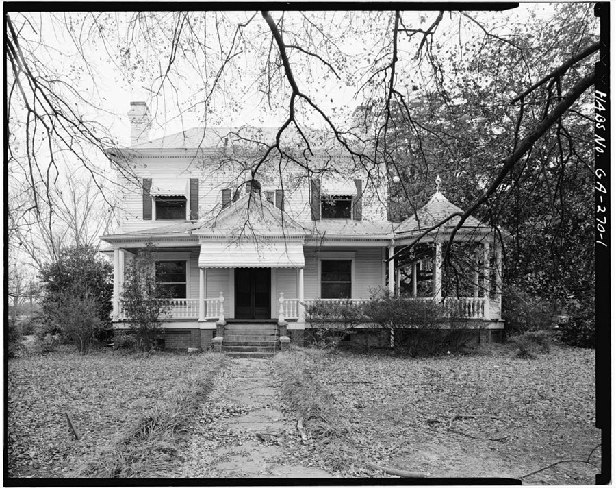
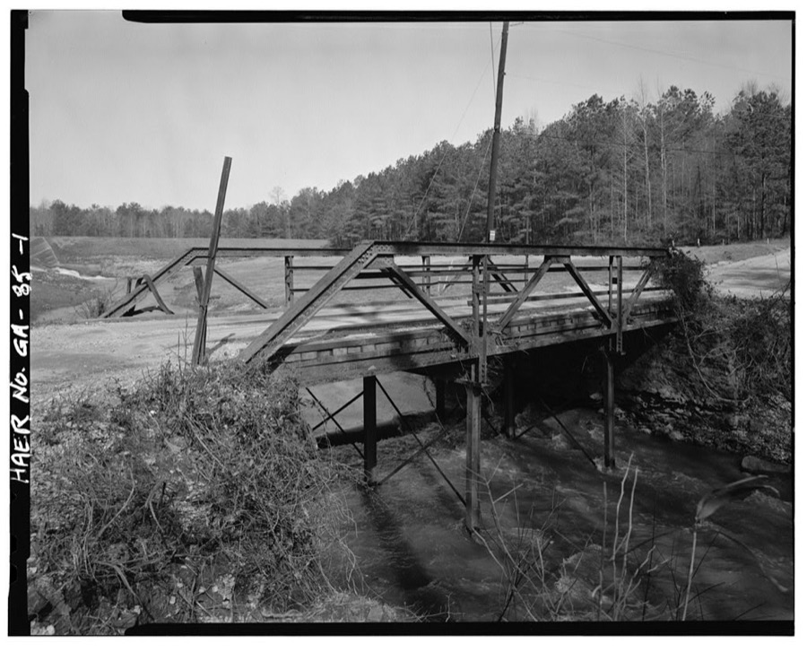
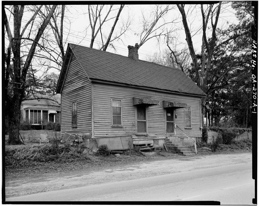
Every property in this county listed on the National Register of Historic Places, with the year it was listed and the federal nomination document.
| Photograph | Property | Type | Listed | Reference |
|---|---|---|---|---|
 | Brown House | building | 1991 | 91000908 |
| Crawford-Talmadge House | building | 1980 | 80001091 | |
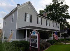 | Globe Hotel | building | 1985 | 85001980 |
 | Smith Griffin House | building | 1985 | 85003225 |
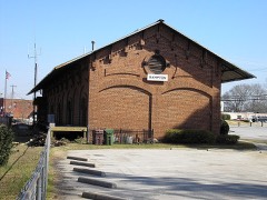 | Hampton Depot | building | 1979 | 79000730 |
 | Henderson Manufacturing Company | building | 2004 | 04001180 |
 | Henry County Courthouse | building | 1980 | 80001092 |
 | James and Bertha Hooten House | building | 2009 | 09000327 |
| Lawrenceville Street Historic District | building | 2009 | 09000054 | |
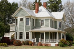 | Locust Grove Historic District | district | 2016 | 16000451 |
 | Locust Grove Institute Academic Building | building | 1986 | 86002179 |
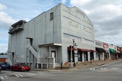 | McDonough Historic District | district | 2007 | 07001201 |
| Walden-Turner House | building | 1980 | 80001093 |
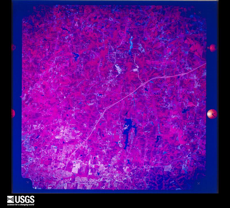
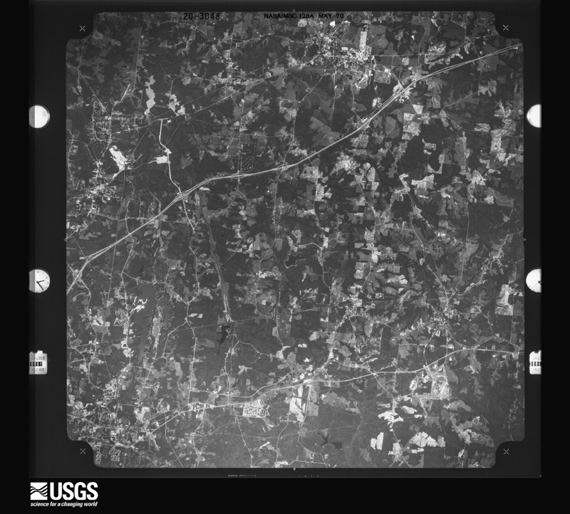
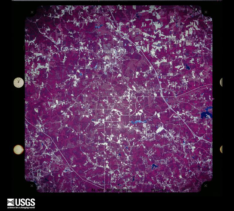
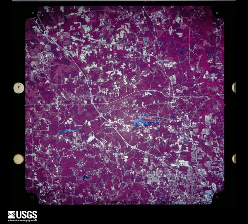
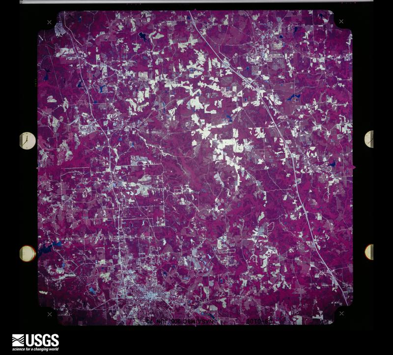
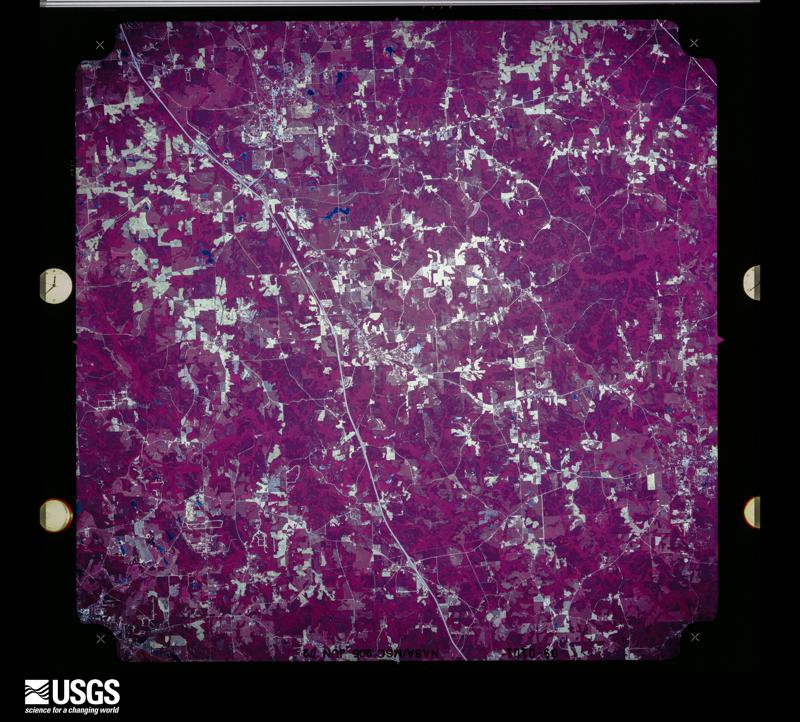
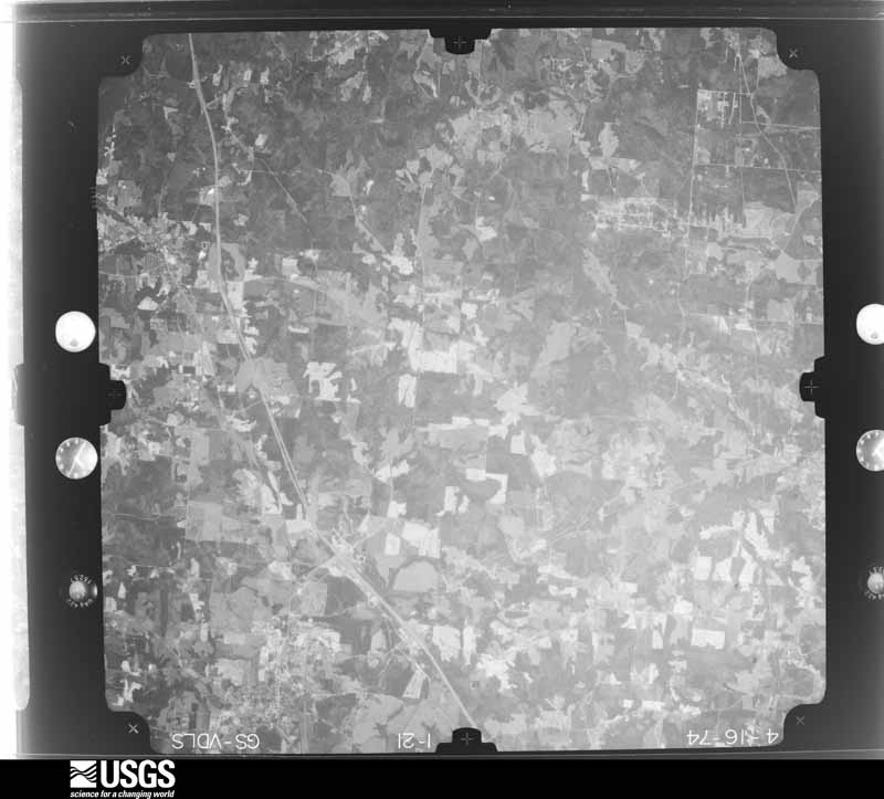
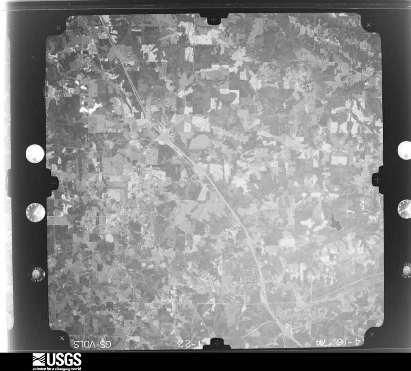
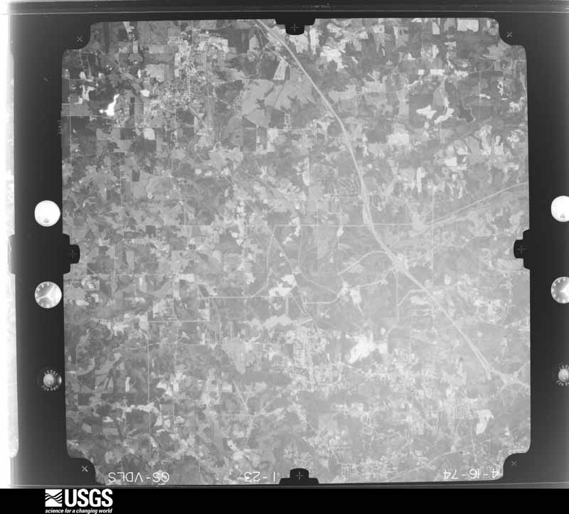
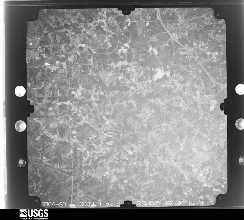
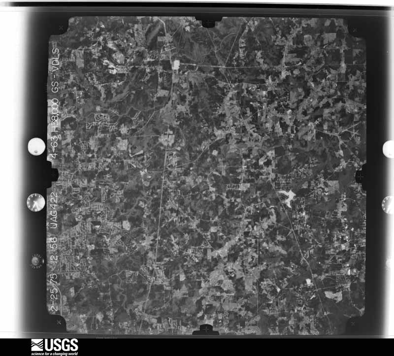
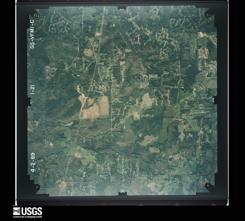
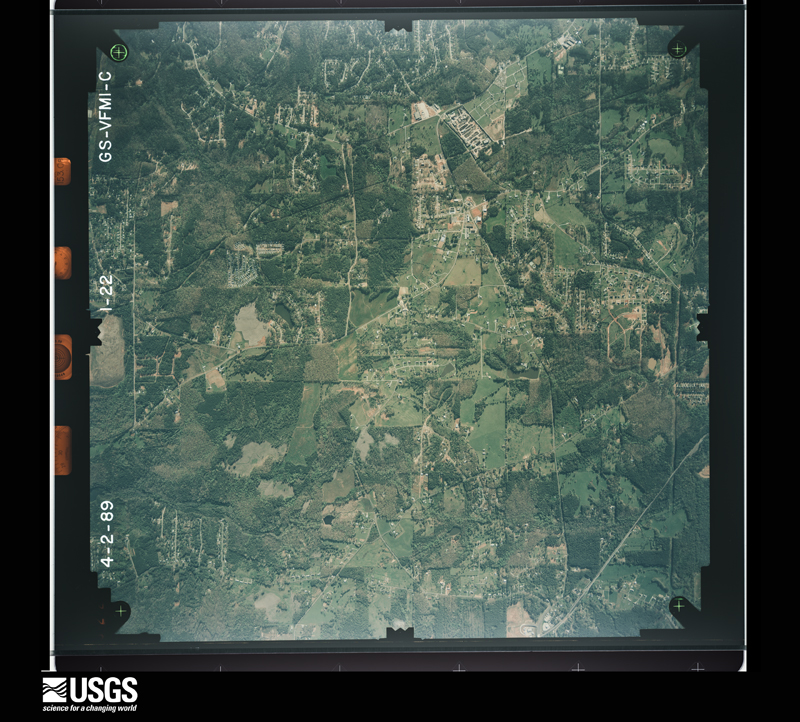
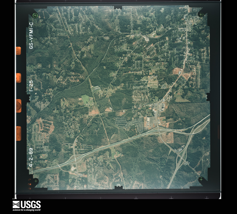
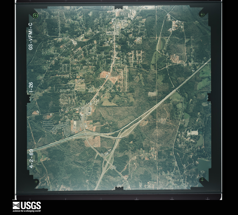
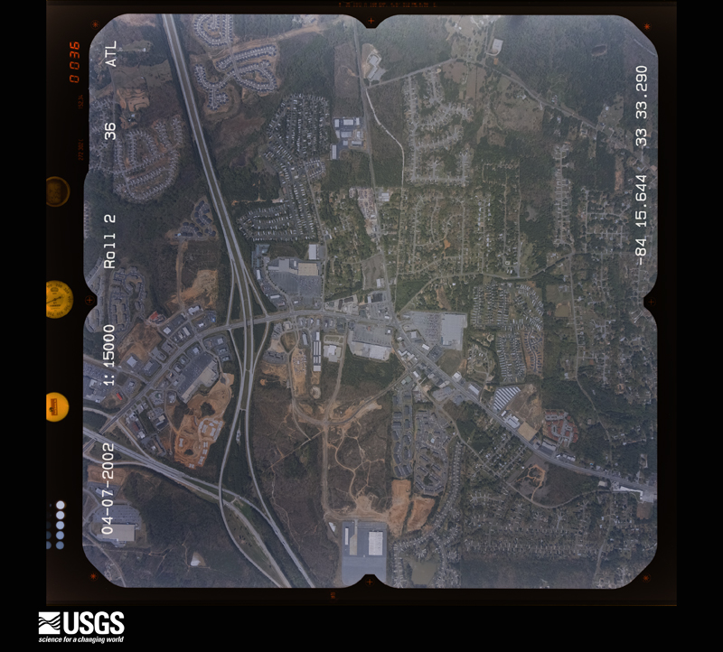
Flown by the U.S. Geological Survey between 1937 and 1989, the Aerial Photo Single Frames collection is the definitive mid-century view of the land: fields, roads and rivers as the camera saw them. The Survey holds 1,481 frames inside the rectangle that bounds this county; the 45 frames below were taken over the county itself, chosen across the decades of flights (at most four a year from that rectangle), so one flight cannot crowd out the rest. The full set is free to browse and download at EarthExplorer under the dataset Aerial Photo Single Frames.
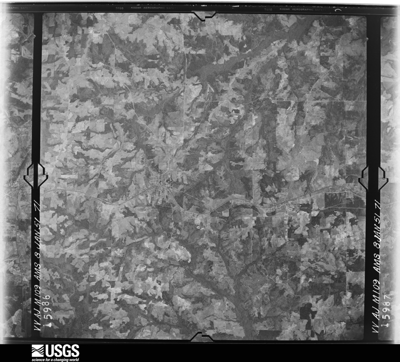
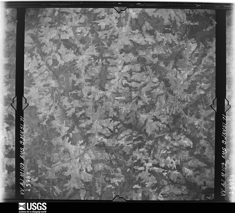
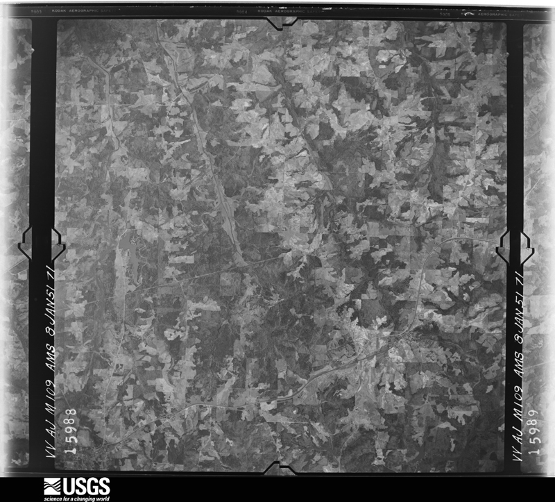
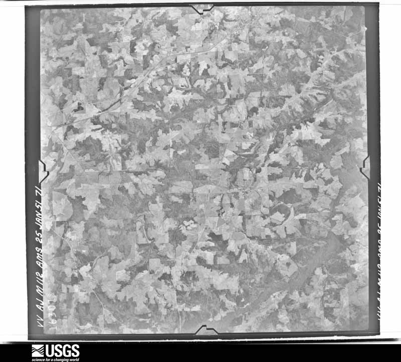
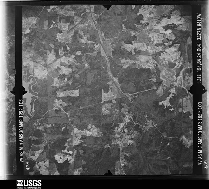
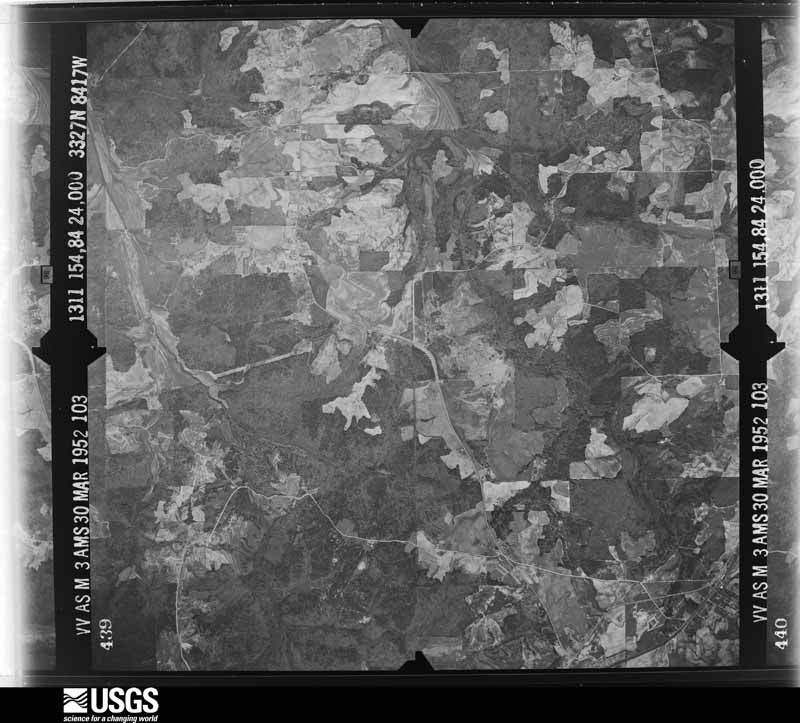
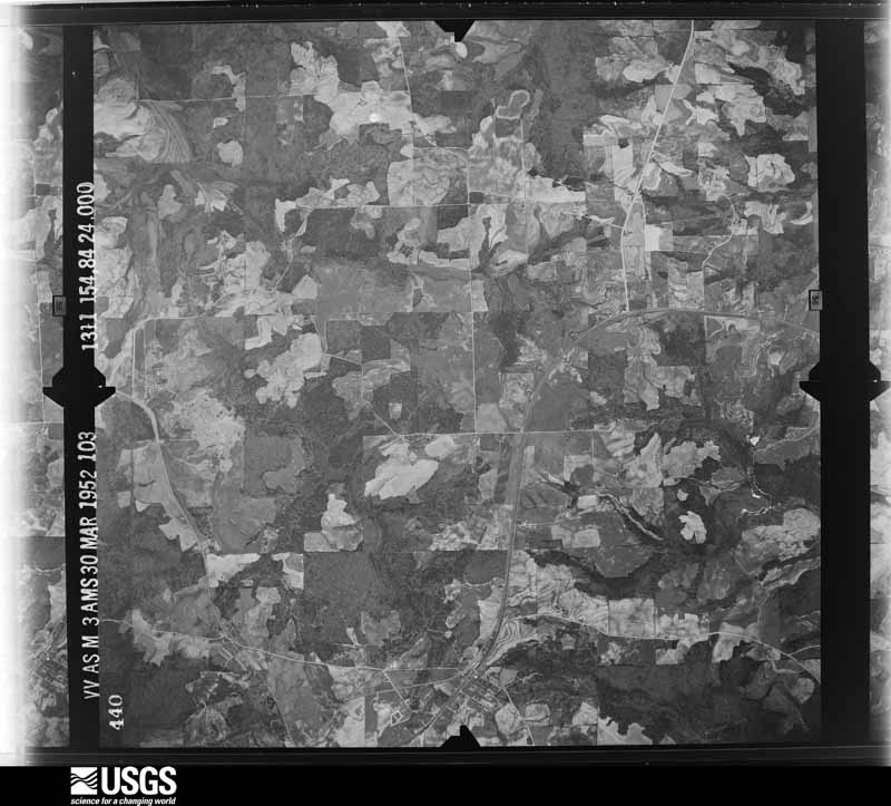
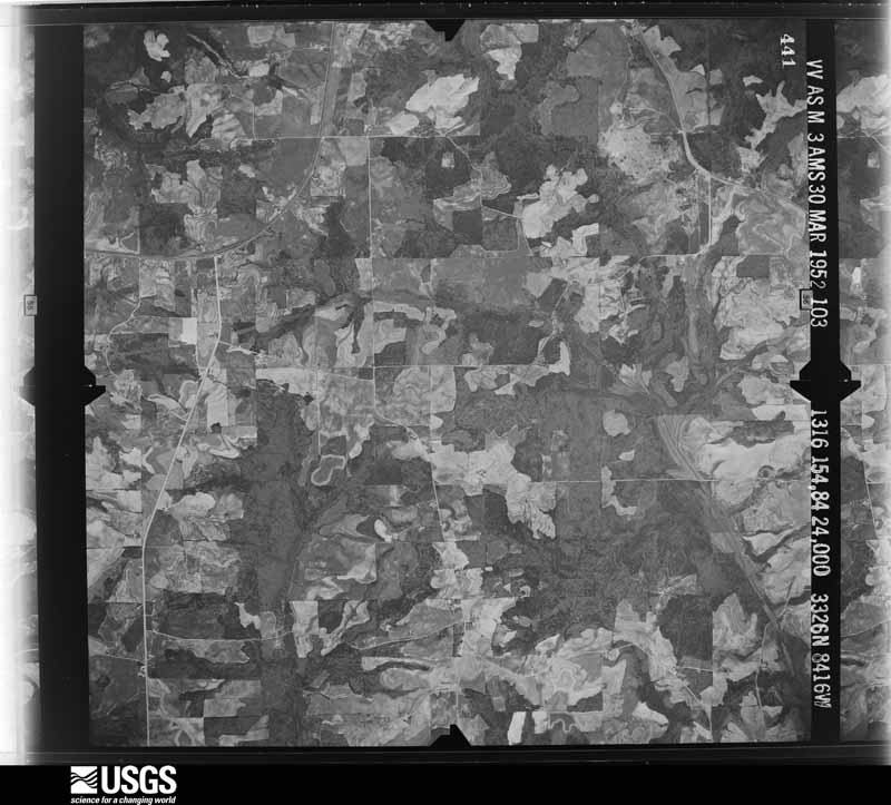
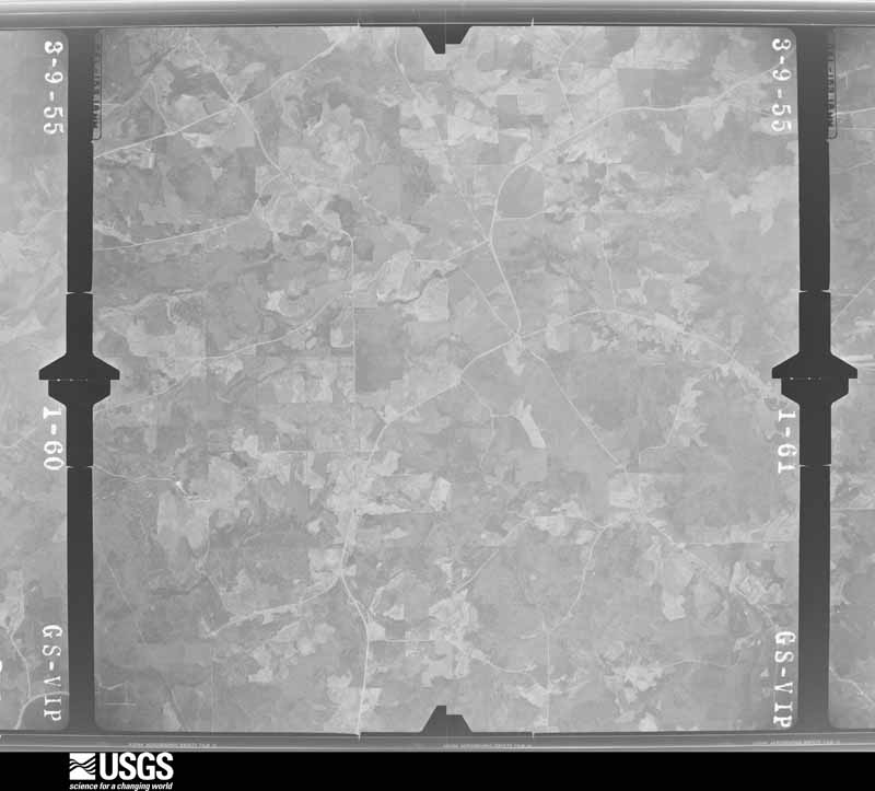
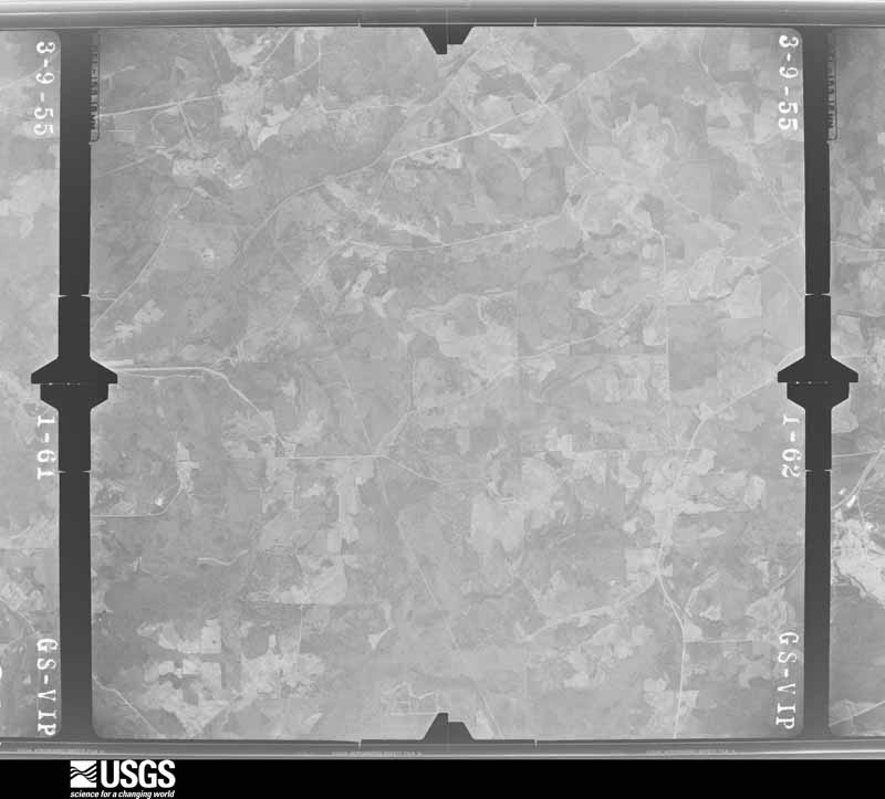
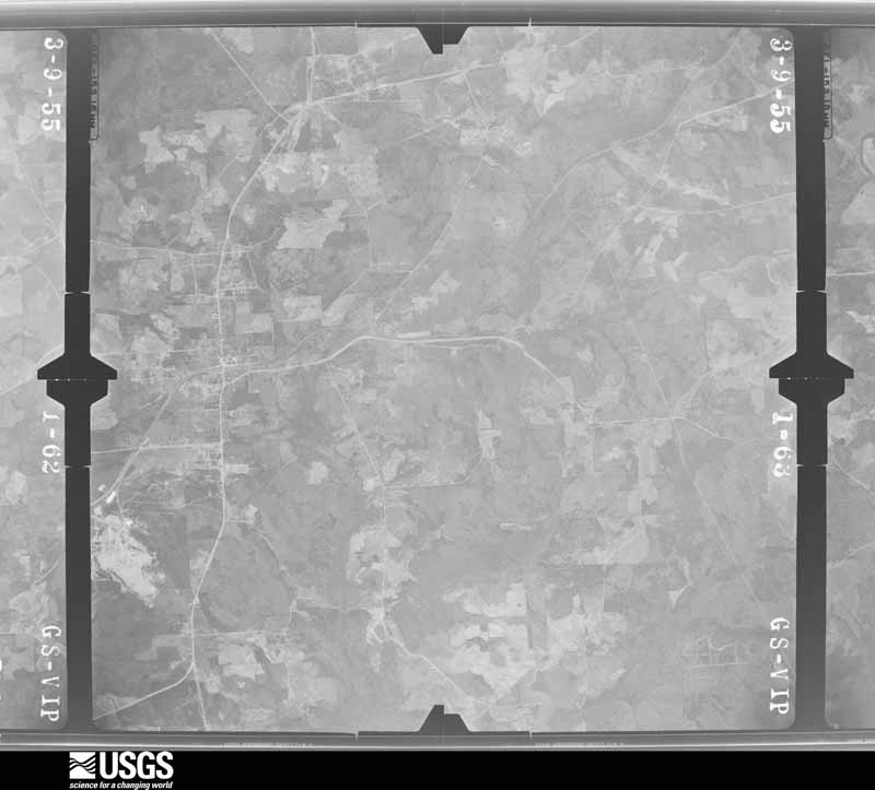
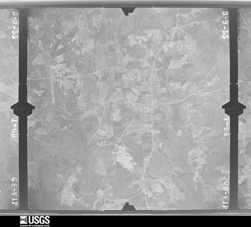
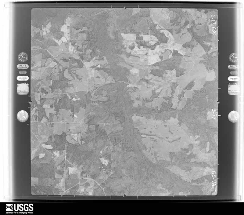
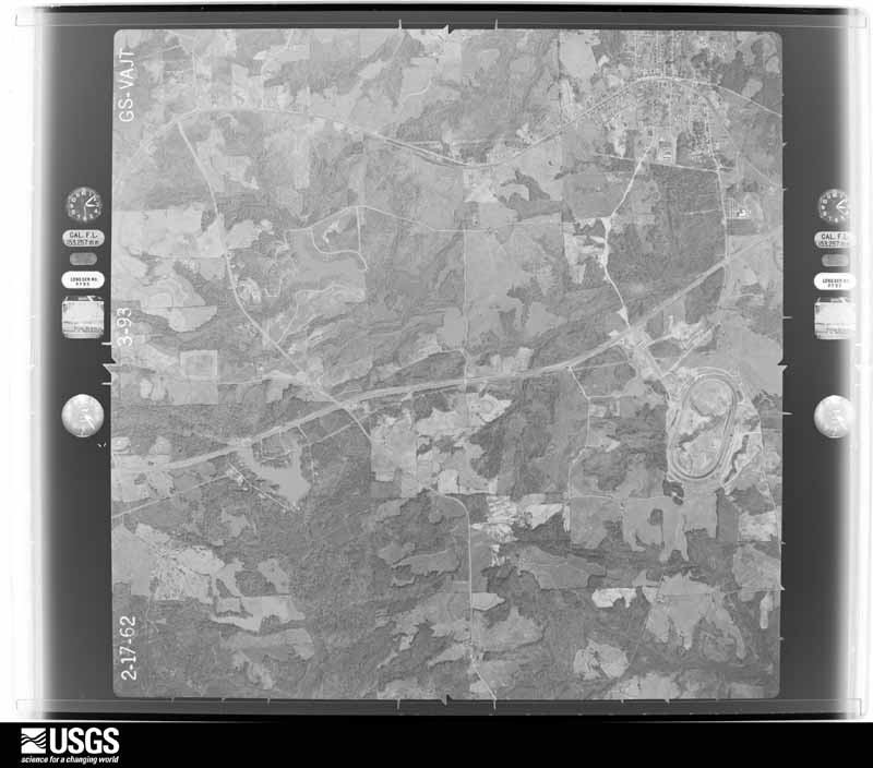
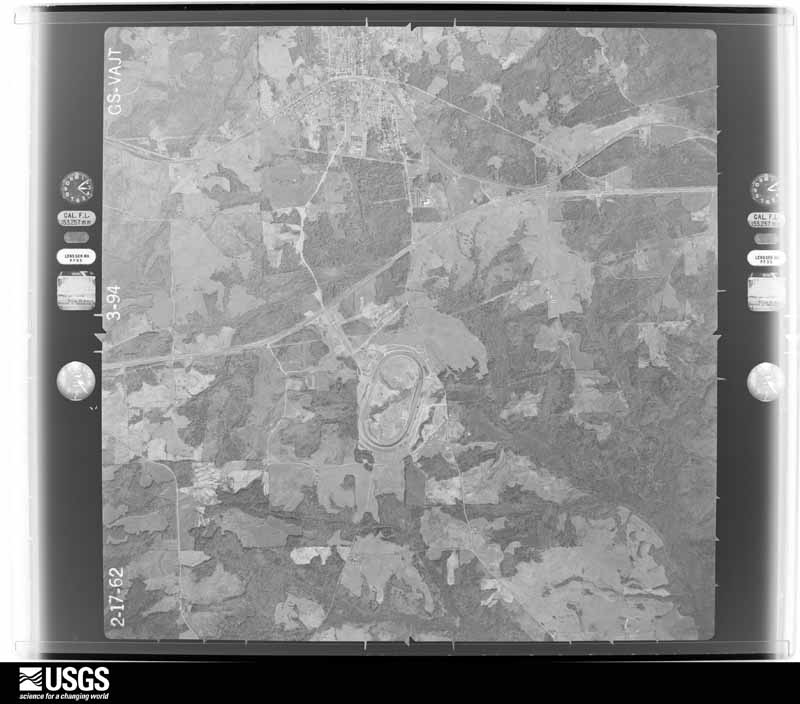
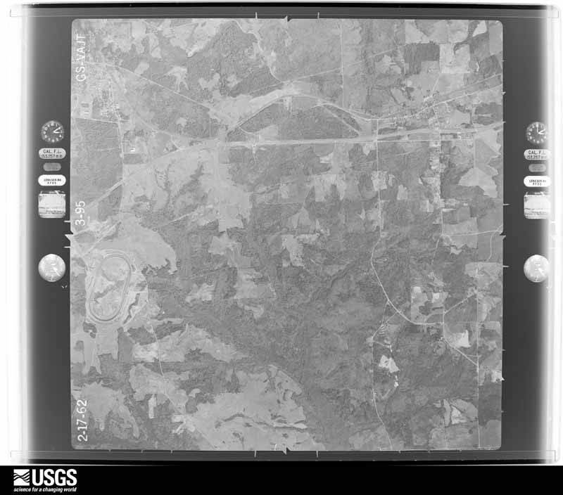
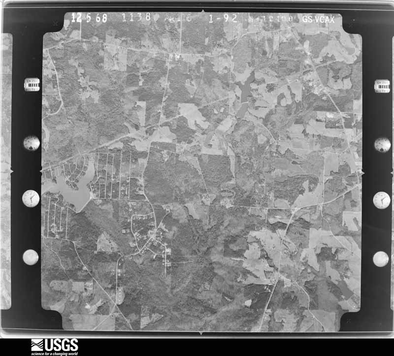
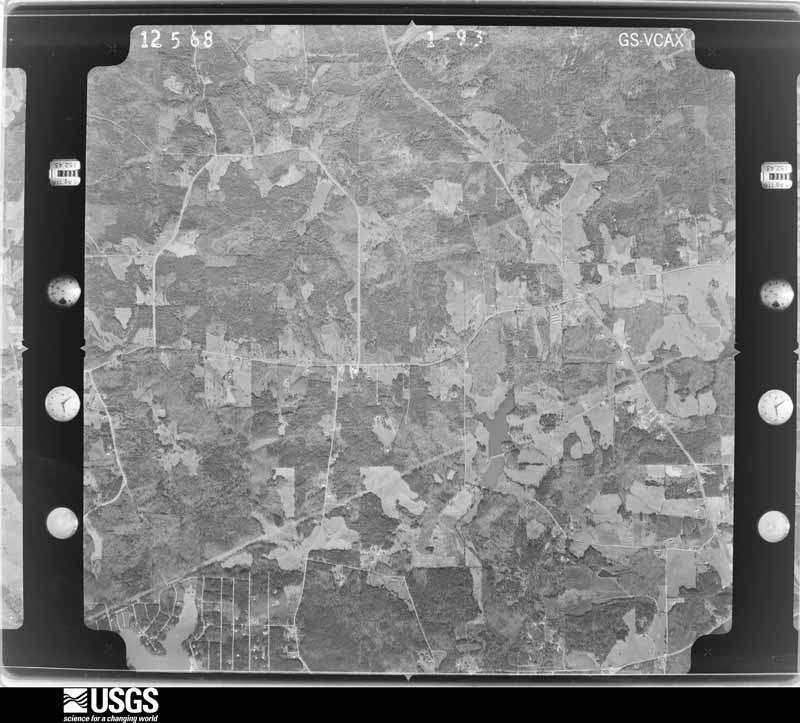
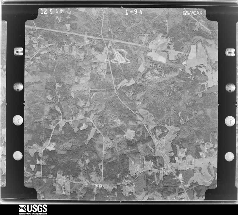
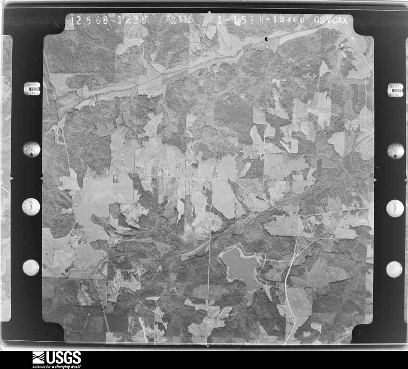






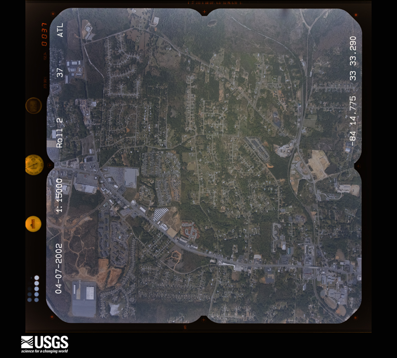
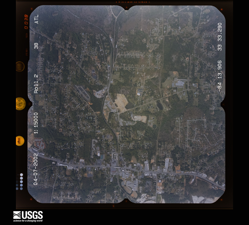
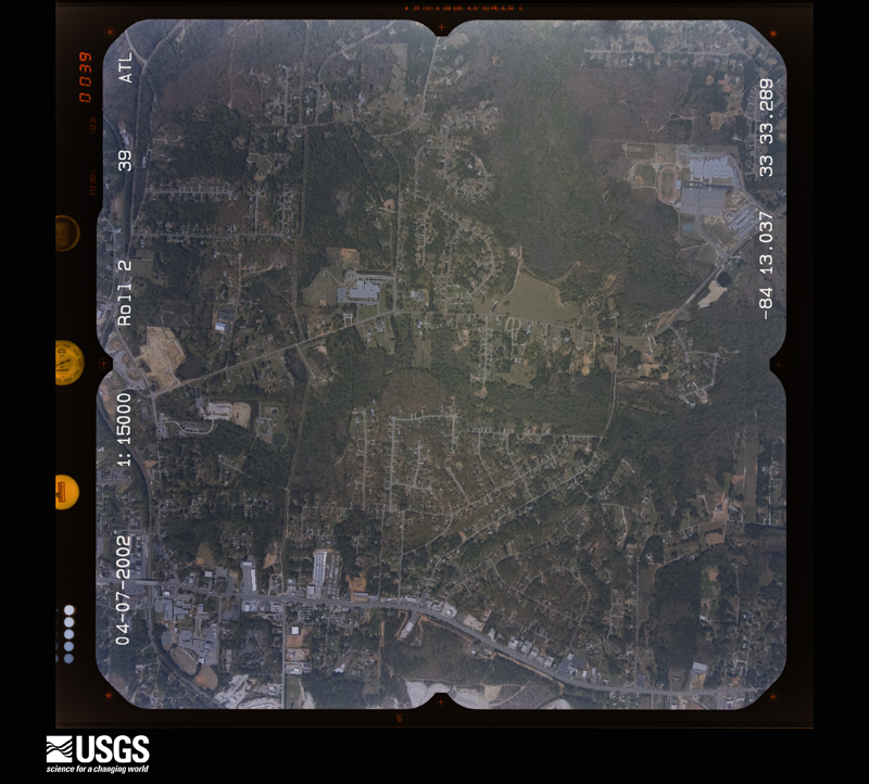
The thermometers that kept this county's weather, and the gages that measured the flow of its streams, as the federal records hold them. The extremes below are measured values from those records, not estimates.
Who lived here in 1950, one enumeration district at a time, as the Census Bureau described each district. Each row opens its official National Archives result, with Population Schedules and ED Maps available there.
Every wildfire the federal occurrence database records inside this county: 797 of them, burning about 2,318 acres. 16 started naturally and 106 were recorded as arson. Each settlement page carries the fires within five miles of it.
| Reported cause | Fires |
|---|---|
| Debris and open burning | 394 |
| Arson/incendiarism | 106 |
| Misuse of fire by a minor | 102 |
| Smoking | 58 |
| Missing data/not specified/undetermined | 47 |
| Equipment and vehicle use | 45 |
| Recreation and ceremony | 17 |
| Natural | 16 |
| Railroad operations and maintenance | 12 |
The five largest, by the area the report gives. One of them was set deliberately.
| Date | Cause | Size | Reported by | Name on the report |
|---|---|---|---|---|
| 23 May 1998 | Equipment and vehicle use | 76 acres | Georgia Forestry Commission | not named |
| 11 April 1999 | Smoking | 74 acres | Georgia Forestry Commission | not named |
| 18 April 1999 | Debris and open burning | 66 acres | Georgia Forestry Commission | not named |
| 24 March 2016 | Recreation and ceremony | 58 acres | Georgia Forestry Commission | FY2016-HENRY-003 |
| 7 September 2002 | Missing data/not specified/undetermined | 58 acres | Georgia Forestry Commission | FY2003-HENRY-006 |
| 6 February 1995 | Arson/incendiarism | 45 acres | Georgia Forestry Commission | not named |
| 1 January 2008 | Missing data/not specified/undetermined | 44 acres | Georgia Forestry Commission | not named |
| 15 July 2000 | Debris and open burning | 42 acres | Georgia Forestry Commission | FY2001-HENRY-002 |
Every settlement page carries the fires within five miles of it - see the settlement index below.
The NOAA Storm Events Database holds 330 reports for this county, causing 2 deaths, 28 injuries and about $105,823,050 in recorded property damage. Each settlement page carries the reports that name it.
| Kind of event | Reports |
|---|---|
| Thunderstorm Wind | 166 |
| Hail | 114 |
| Tornado | 27 |
| Lightning | 13 |
| Flash Flood | 5 |
| Heavy Rain | 3 |
| Funnel Cloud | 1 |
| Flood | 1 |
The most serious of them, by death, then injury, then recorded damage. The accounts are quoted exactly as the forecast office filed them.
| When | Event | Place named | Harm | What the report says |
|---|---|---|---|---|
| June 2010 | Lightning | Mc Donough | 1 killed, 1 hurt | The Atlanta Journal-Constitution reported that a 14-year old male was struck by lightning while standing outside his home in the Huntington Ridge subdivision in McDonough. The boy died overnight in the hospital following the incident. A 15-year old girl was simultaneously injured by the same lightning strike, but survived and was said to be in good condition the next day. |
| February 1990 | Thunderstorm Wind | not stated | 1 killed | no account filed |
| January 2023 | Tornado (EF3) | Luella | 18 hurt | New high-resolution areal imagery in concert with a reanalysis of radar data, areal surveys and ground surveys it has been determined that there were multiple tornadoes on the ground simultaneously in southwest Spalding and Northwestern Pike Counties as well as crossing tornado paths. The tornadoes were part of a larger mesocyclone which can be traced west all the way back to the Selma Alabama tornado. Our analysis determined that this tornado would become the dominant circulation which impacted Griffin and much of Spalding County and Southern Henry County. The tornado first touched down in Northwest Pike County along HWY 362 west of Irish Hill Drive where a few trees were snapped and uprooted and quickly increased in intensity to EF1 as it crossed Kings Bridge Road, Huff Creek Rd and Scott Road where numerous trees were snapped and uprooted. As the storm crossed Blanton Mill Road more severe damage was noted both on the ground and areal survey and it was determined that EF2 damage was present in the area around Nunnally Rd and Bethany Road where widespread snapping of trees occurred and a few structures were severely damaged. However, the updated analysis shows that this area also experienced crossing tornado paths both from this tornado and another which struck the area approximately 2 minutes later. The combination of the 2 paths likely resulted in more intense damage indicators. As the storm continued north into southern Spalding County, the circulation briefly weakened causing only sporadic low end EF0 damage northward along Scott Barch Road. It should also be noted that this circulation would pass into southern Spalding County along Scott Barch Road just 2 minutes ahead of another EF1 tornado to cross its path coming in from the west. The tornado continued north crossing Scott Barch Road and uprooting trees in an area south of Blanton Mill Road. Per both radar data and damage on the ground the tornado would pivot within the larger mesocyclone in an area north of Blanton Mill and begin its track east crossing Rover Zetlla Road destroying a barn. It was near this point the tornado and the wind damage would significantly increase as the tornado was intensifying rapidly. The tornado would quickly reach peak intensity of 150-155 mph and several homes were completely destroyed along Kendall Drive and West Road. 2 homes in particular were noted to be completely destroyed down to the foundation however further inspection of the homes revealed that the walls were not anchored fully anchored into the concrete thus a higher rating could not be determined from those homes. The resident of one of those homes rode out the storm in his bathtub, however the bathtub and all plumbing fixtures were torn away from the slab and tossed into the nearby woods. The survivor of the home was miraculously uninjured and got out to help neighbors. Further west along Kendall Drive several homes were also completely destroyed with several others suffering major damage thus the EF3 rating. The damage along West Road in particular garnered a slight upgrade in the wind speed to high end EF3 damage per a reanalysis. Major to severe damage was also noted along Maloy Road, Hwy 16, areas around Griffin High School, The club at Shoal Creek and North Pine Hill Road. As the tornado approached Hwy 19, per UGA faculty, the UGA facility at Dempsey Farm recorded a wind speed of 81.1 mph before the anemometer/wind combo instrument blew off the tower. The tornado continued ENE through the community of Experiment to the NW of the town of Griffin crossing HWY 92 where numerous business and homes suffered damage either from wind or fallen trees consistent with EF0 through EF1 damage. A weather instrument on the south end of the tornado swath at the UGA Griffin Campus recorded a 73.9 mph wind gust as the storm passed by. Damage in the area was consistent with EF0 type wind damage. The tornado struck a Hobby Lobby building in an around Experiment St and Hwy 92 which suffered severe damage to the roof, and exterior walls on the northeast side. Damage to the building was consistent with EF2 winds of approximately 130 mph. The tornado continued Northeast through the northside of Griffin with mostly EF0-EF1 type wind damage. Pockets of more severe damage were noted along Northside Drive and McIntosh Road consistent with high end EF1 damage. The tornado continued northeast crossing Smoak Road and N. McDonough road where it was noted both on the ground and from the air that the circulation weakened and the damage become more sporadic in nature particularly the area from Amelia rd eastward to I75 in southern Henry County. Once the circulation crossed I75 intensity of the tornado increased to a mid to high end EF1 with damage in the city of Locust Grove. The tornado crossed LG Griffin Road where it impacted numerous homes in a subdivision and snapped or uprooted trees. The storm crossed Stanley K Tanger Road and through another neighborhood affecting several homes including some high end EF1 damage. As the storm crossed Hwy 23 numerous trees were snapped or uprooted and a new TDS appeared on radar. The tornado continued NE across Jackson St, Grove Park Drive, Skyland Dr, S. Unity Grove Road and S Ola grove road snapping and uprooting trees as well as causing EF0 or in some cases EF1 damage to homes. The storm continued ENE snapping and uprooting trees through Peaksville Road where it shortly thereafter become less defined and eventually merged with the circulation/tornado ongoing to the south in the Jenkinsburg area. |
| May 2025 | Tornado (EF2) | Greenwood | 2 hurt | An EF2 tornado with maximum winds of 135 mph quickly developed|during the afternoon hours of May 29, 2025 in Henry County. A storm which had a|history of very weak and broad rotation moved into the southern part of the county (Henry) and quickly spawned a tornado as it crossed Bethlehem Road|at approximately 3:31pm EDT. Just north of Bethlehem Road, a few|trees were downed to indicate where the tornado first touched|down. As the tornado tracked northeast, it quickly intensified to|EF1 strength, snapping and uprooting trees in a wooded region|behind several homes along Curry Ridge in the Laurel Creek|Subdivision. The tornado reached maximum intensity as it reached|Fresh Laurel Lane in the subdivision. Several homes sustained EF1|damage near the end of the road including significant loss of|siding and shingles, windows blown out, and in one instance,|partial collapse of the roof/wall structure. The last home along|the street is where the tornado reached maximum intensity of EF2.|The home was completely destroyed with the exception of a small|interior closet on the first floor where the clothes were still|hanging. Both occupants of the home were injured, one critically|when he was thrown 287 feet from the house into the nearby woods|according to Henry County EMA. The home demonstrated strength in|the construction with attached baseboards including the use of|clips, however the failure point was in the wall attachment where|the wall studs were only nailed into the baseplate. While a high|end EF2 tornado is determined for this point, there was not enough|evidence to support a higher rating of EF3. Debris was thrown|hundreds of yards to the east and the northeast from the home|including significant portions of the roof, clothing, and a metal|pipe used in A/C unit. To the northeast of the destroyed home, all|the trees that remained in a field being cleared were snapped and|uprooted consistent with high end EF1 and low end EF2 damage. The|tornado continued to the Northeast crossing Academic Parkway|through an apartment complex where EF0 to low end EF1 damage was|noted to the trees and buildings in the area. The tornado then|crossed Interstate 75 at approximately 3:34PM per numerous cell|phone video of the tornado. Trees were downed on the southbound|lane of I75. As the tornado approached Hwy 42, there were several|uprooted trees on the back of an industrial building and a few|trees snapped in the front. The tornado crossed Hwy 42 and began |to weaken with only minor tree damage noted in and around a large |industrial building. The tornado lifted as it crossed Distribution|Drive where small branches and leaf debris was noted. Both radar |and ground truth confirm that the tornado had significantly |weakened as it reached Distribution Drive. The tornado was very |short lived and only on the ground for 1.8 miles and 5 minutes, |but demonstrated how quickly a strong tornado can develop. |
| April 2011 | Thunderstorm Wind | Stockbridge | 1 hurt, $500,000 | The Henry County Emergency Management Director reported significant and widespread damage across the county from downed trees. Fourteen homes across the county were damaged from downed trees. At one of the affected homes, a person was trapped and injured. The person was later extricated and taken to a local medical facility. Seventy-five roads across the county were impacted by downed trees and power lines, including Interstate-75 near mile marker 216. |
| December 1964 | Tornado (F3) | not stated | 1 hurt, $250,000 | no account filed |
| April 1998 | Tornado (F0) | Locust Grove | 1 hurt, $100,000 | The tornado in Spalding county continued into Henry county, but apparently weakened. Sight survey by NWS employees showed numerous trees were downed. Some were pointing toward the west while others were toward the south indicating rotation of the storm. Eight mobile homes in the Indian Creek mobile home park were damaged, mainly from falling trees. The tornado seemed to skirt the southern edge of the mobile home park before lifting. Only one minor injury was reported. |
| August 1977 | Tornado (F1) | not stated | 1 hurt, $2,500 | no account filed |
| July 2012 | Thunderstorm Wind | Blacksville | 1 hurt | The Henry County Emergency Manager reported that severe thunderstorm winds blew over seven tractor trailers near the intersection of Highway 42 and King Mill Road. An individual inside one of the vehicles was transported to the hospital with minor injuries. |
| April 1989 | Thunderstorm Wind | not stated | 1 hurt | no account filed |
| April 1989 | Thunderstorm Wind | not stated | 1 hurt | no account filed |
| July 2005 | Tornado (F2) | Hampton | $70,000,000 | A National Weather Service damage survey confirmed an F2 tornado, the strongest tornado of the evening associated with the remnants of Tropical Storm Cindy, touched down just a few hundred yards south of McDonough Street at the Atlanta Motor Speedway then traveled north-northwest passing just east of Lovejoy in Clayton county, then across the Edgar Blalock Raw Water Reservation, at which point it turned northwest and finally passed into Clayton county before lifting near Jodeco Road. The tornado center line crossed the western bank of the race track then across Tara Field just west of the race track. Damages to the Atlanta Motor Speedway, including several condominiums at the facility, and the Tara Field Airport just west of the Atlanta Motor Speedway were estimated at $40,000,000. Eleven planes and five vintage helicopters were heavily damaged at Tara Field. Nearby a Chevron auto service station was destroyed. Damage between these facilities and the Clayton county line was confined mainly to trees and power lines. The tornado had a path length of nine miles tracking across western Henry and a small portion of eastern Clayton county. The tornado initially had a path width of 1/2 mile, then narrowed as it moved north-northwest. It was determined that the tornado had winds of 120 mph. Electrical power was out in much of the county throughout the night as a result of the damage in the area. All together during the evening, 229 homes in the county had minor damage from thunderstorm winds and/or tornadoes, with 61 homes suffering major damage. In addition, the steeple at Kelly Chapel fell to the ground. |
| March 2013 | Hail | Stockbridge | $9,430,000 | Ham radio operators, spotters, and current and former National Weather Service employees reported golfball to baseball sized hail in Henry County in the first of two significant hailstorms to move through during the 6 PM hour. |
| March 2013 | Hail | Hampton | $9,430,000 | The Henry County Emergency Manager, current and former National Weather Service Employees, and the public reported quarter to baseball sized hail in the second of two significant hailstorms across Henry County. |
| March 2013 | Hail | Mc Donough | $2,400,000 | The public reported golfball size hail in McDonough. |
| April 2011 | Hail | Hampton | $2,250,000 | The public observed golf ball-sized hail near Hampton. WSR-88D radar data suggests that golf ball-sized hail was more likely observed near Luella and Locust Grove, with quarter-sized hail near Hampton. |
| May 2008 | Hail | Mc Donough | $1,500,000 | The public observed quarter to golf ball-sized hail in the McDonough area. Radar supported that hail of at least quarter-size fell across much of central and east central Henry county. |
| June 2007 | Hail | Scarboroughs Xrds | $1,500,000 | Nearly two dozen reports of large hail were received from the public across Henry county. Quarter-sized hail reports were common from the McDonough and Stockbridge areas and other areas in the northern part of the county. Quarter to golf ball-sized hail fell in Locust Grove and McDonough. In McDonough, along Georgia Highway 155, hail covered the ground over one inch deep and a chain link fence was said to have been dented and damaged from the large hail. |
| February 2009 | Hail | Hampton | $1,400,000 | Several reports of large hail were received from the Henry County Emergency Management Director and the public in a swath across southern Henry county extending from just northwest of Hampton to southeast of Ola. Hail was reported to be the size of quarters near Hampton and quarters to golf balls from southwest of McDonough to southeast of Ola. Nickel sized-hail was reported when the storm first entered the northwest part of the county near Interstate-75 and Jodoco Road. |
| March 2009 | Hail | Locust Grove | $1,000,000 | Several reports of large hail were received from the public across southeast Henry county. This was one of two severe thunderstorms to track across the county in the 400 pm to 430 pm EDT time frame. Penny to golf ball-sized hail was reported near Locust Grove with quarter-sized hail near Ola as the storm moved further northeast. |
| January 2006 | Tornado (F1) | Mc Donough | $500,000 | A damage survey conducted by the National Weather Service and information provided by the Henry County Emergency Management Director concluded that an F1 tornado had touched down three miles north of McDonough on Turner Circle Road and traveled approximately 1000 yards or about 0.6 mile to the east. The tornado had a path width of 300 yards at its maximum point. Damage was reported to several homes on Waterford Lane in the Vineyards Subdivision, which is located near the intersection of Jodeco Road and Georgia HIghway 42. At least eight trees were down on one home on Turner Circle and a small storage building was destroyed. The home suffered considerable damage on one side. Several structures being used as a religious retreat or campground were also heavily damaged. A motel in the area also suffered damage to a sign and the portico. In addition, numerous trees were either uprooted or snapped off along the path of the tornado. |
| July 2005 | Lightning | Countywide | $500,000 | The Daily Herald of McDonough reported that lightning set fires to 13 homes and structures in the county. Most of the damage was confined to roofs and attics of the homes. However, one structure was completely destroyed. |
| July 1997 | Lightning | Mc Donough | $500,000 | Lightning struck the Walden Run Apartment complex, setting fire to the attic and third floor apartments. The lower floors suffered only water damage. The apartments, which were only 80 % completed, had no power or utilities. |
| September 2014 | Thunderstorm Wind | Hamptn Bear Creek Ar | $280,000 | The Henry County Emergency Manager reported at least 12 airplanes damaged with 4 of them flipped over at the Atlanta South Regional Airport, Tara Field. Minor damage was done to buildings and hangar doors. |
| August 2005 | Lightning | Mc Donough | $275,000 | The Henry County Emergency Management Director reported that lightning strikes set fire to three homes in the McDonough area. In addition, at least three power poles were struck as well, leaving a number of residents without power during the evening. |
| September 2009 | Flood | Stockbridge | $250,000 | The Henry County 911 Center reported that significant flooding was occurring within the Pools Mobile Home Park in the northern portion of the county, five miles north of Stockbridge. Several familes were trapped in their homes because of rising flood waters. Minor flooding was reported on roads and many streams and creeks across the county were near or above bankfull. Monetary damage to roads and property was estimated to be $250,000. |
| January 2007 | Thunderstorm Wind | Stockbridge | $250,000 | A storm survey conducted by the National Weather Service Forecast Office in Peachtree City, GA confirmed straight-line winds, not a tornado, caused extensive damage from Stockbridge to McDonough. Numerous trees were blown down along Chambers-Jonesboro Road, Walnut Creek Drive, and Crossing Drive in Stockbridge and a deck was blown off a home. In McDonough near exit 222 on Interstate-75, three homes sustained major damage, and 25 homes sustained minor damage (mostly to roofs) from wind and downed trees. Most of the damaged homes were along Mount Olive Road, where three to four structures sustained major damage and 11 had minor damage. Another area of significant damage was in the Morgan Pond subdivision. Many trees were blown down throughout the area. A number of trees were down, topped, or twisted off on both sides of Interstate-75 four miles southeast of Stockbridge. |
| March 2005 | Lightning | Mc Donough | $250,000 | The public reported that lightning struck and set a home on fire in the Lake Dow area just east of McDonough. The home was completely destroyed. |
| November 1992 | Tornado (F2) | not stated | $250,000 | no account filed |
| October 1989 | Tornado (F2) | not stated | $250,000 | no account filed |
| December 1964 | Tornado (F3) | not stated | $250,000 | no account filed |
| December 1964 | Tornado (F3) | not stated | $250,000 | no account filed |
| July 2011 | Lightning | Mahers Quarry | $175,000 | Fox 5 Television of Atlanta reported that lightning started a second fire in the Stockbridge area. This fire was to a home on McKenzie Drive, just east of Stockbridge. The home was vacant, but was a total loss from the resulting fire. |
| April 2011 | Tornado (EF3) | Hampton | $150,000 | A damage survey conducted by the National Weather Service Forecast Office in Peachtree City, Georgia confirmed that the tornado, which originally touched down in northeast Meriwether county as an EF2 and then continued across western Spalding county as an EF3, moved into Henry county before lifting just across the Spalding/Henry county line, approximately 1/2 mile into the county or about two miles south of Hampton. The tornado briefly maintained its EF3 intensity as it entered Henry county. Only minor damage was observed within Henry county, mainly downed trees, power lines, and minor structural damage to a few buildings and trees, mainly along Hall View, Pamona, and Hedgewood Drive.||[04/27-04/28/11: Tornado #11, County #3-3, EF3, Meriwether-Spalding-Henry, 2011:020]. |
| June 2008 | Lightning | Hampton | $150,000 | The Henry County Emergency Management Director reported that lightning struck and set on a fire a home on Dorsey Road. In addition, there was also a small brush fire in the northwest part of the county also started by lightning. |
| July 2005 | Thunderstorm Wind | Stockbridge | $150,000 | The public reported that many trees were down, several causing damage to homes, along Walt Stevens Road. Amateur radio operators also reported damage to several cars from fallen trees at a Golden Corral at the intersection of Interstate-75 and Georgia Highway 138. |
| July 2005 | Tornado (F0) | Mc Donough | $150,000 | A damage survey conducted by the National Weather Service in Peachtree City, Georgia concluded that another tornado had touched down in Henry county. This time, an F0 tornado touched down approximatly one mile west of McDonough near Interstate-75 and travelled north for approximately 1/2 mile causing moderate structural damage to a church and several homes in the area. A number of trees and power lines were also blown down in the area. The path width of the tornado was about 200 yards. |
| December 2005 | Tornado (F0) | Stockbridge | $150,000 | A storm survey conducted by the National Weather Service and the Henry County Emergency Manager determined that an F0 tornado had touched down in extreme western Henry county near Interstate-75 just south of Georgia Highway 138. The tornado then traveled east-northeast through the Willow Spring Subdivision to near Old Atlanta Road. The tornado path was approximately 1.0 mile long and 100 yards wide. Numerous trees were snapped off or blown down throughout the area, some causing damage to homes in the area. In addition, one vehicle was damaged by a fallen tree. |
| March 2020 | Thunderstorm Wind | Hamptn Bear Creek Ar | $100,000 | The Henry County Emergency Manager reported numerous trees and power lines blown down across the western portion of the county from the Henry County Airport to McDonough. The roofs were blown off of hangars at the airport and the roof was blown off of a shop in the Kellytown area. A large billboard was blown down and a warehouse was damaged in the vicinity of I-75 and Highway 155. |
| July 2011 | Lightning | Stockbridge | $100,000 | FOX 5 Television of Atlanta reported that two lightning-related fires occurred almost simultaneously in Henry county during afternoon thunderstorms. A home in Stockbridge caught fire when lightning struck an adjacent tree. The current from the lightning apparently traveled from the tree through the nearby well pump to the house causing the fire. Significant structural damage was noted to the home as a result of the fire. |
| November 2004 | Thunderstorm Wind | Hampton | $100,000 | The public and an amateur radio operator reported widespread damage to trees and power lines throughout the county. Some of the worst damage was along and near Georgia Highway 20 between Hampton and McDonough. Portions of the highway were blocked and closed from downed trees. Several trees had fallen on and caused damage to homes in the area as well. Trees were also down in the Lakeview Subdivision on Mundy's Mill Road. In addition, a billboard was down on Interstate 75 between exits 218 and 221. |
| November 2002 | Thunderstorm Wind | Locust Grove | $75,000 | The Henry county Emergency Management Director and the Daily Herald of McDonough reported that numerous trees and power lines were blown down across the county, particularly in the central areas east of McDonough and in the Locust Grove area. This was confirmed by a National Weather Service disaster survey. Georgia Highway 42 in Locust Grove and East Knight Road northeast of McDonough were both blocked for several hours because of downed trees. Several roads were blocked in the Lake Dow area, where a tree also fell on a home, damaging the front porch, and crushing two vehicles. |
| May 2025 | Thunderstorm Wind | Kelleytown | $70,000 | Several trees uprooted and snapped along hwy20 near mountain laurel drive. |
| April 2017 | Tornado (EF0) | Locust Grove | $50,000 | A National Weather Service survey team found that an EF0 tornado with maximum wind speeds of 85 MPH and a maximum path width of 250 yards touched down in southern Henry County, just south of the Locust Grove community near the intersection of LG Griffin Road and Hartwell Road. The tornado traveled east for less than 2 miles, mainly snapping or uprooting trees. In a neighborhood off Jayley|Parkway, numerous shingles were pulled off of the roof of one residence. Just south of this location, a large tree fell on the corner of a home resulting in significant roof and exterior wall damage. The tornado lifted along Grove Pointe Circle just east of Locust Road. This tornado was associated with the same thunderstorm that produced an EF0 |tornado in Griffin about 20 minutes earlier. No injuries were reported. [04/03/17: Tornado #14, County #1/1, EF-0, Henry, 2017:046]. |
| February 2009 | Thunderstorm Wind | Stockbridge | $50,000 | The Henry County Emergency Management Director reported that a roof was blown off a warehouse in McDonough. A few trees were also down, including one down on a house. |
| May 2009 | Thunderstorm Wind | Hampton | $40,000 | The Henry County 911 Center reported that at least seven trees were down within the county. Three of these trees were down on structures causing damage, while the other four were down on roads. |
| May 2011 | Thunderstorm Wind | Hampton | $30,000 | The public reported that at least five trees were down in the county. One was down on a home on Wynn Drive in the McDonough area. |
| June 2008 | Thunderstorm Wind | Locust Grove | $30,000 | The Henry County Emergency Management Director reported that several trees were down in the Locust Grove area. A garage was destroyed when a portion of the structure was blown onto an adjacent vehicle on East Harris Drive. The roof was also ripped off a well house and one 30 foot oak tree was blown down. |
| April 2011 | Lightning | Mc Donough | $25,000 | The Henry County Emergency Management Director reported that two homes in the county sustained minor damage from lightning-related fires. |
| February 2008 | Thunderstorm Wind | Hampton | $25,000 | The Henry County Emergency Management Director reported that several trees and a couple of power lines were blown down across the county. Some structural damage was also observed in the western part of the county. A gas station steel awning was bent in half at the intersection of Racetrack Road and Georgia Highway 42 in McDonough. Amateur radio operators reported that a 50-foot tall radio tower was bent over near Hampton. |
| July 2008 | Lightning | Mc Donough | $25,000 | The Daily Herald of McDonough reported that several lightning-related structural fires were set in the McDonough area. However, no major damage was reported from any of the incidents. |
| July 2005 | Tornado (F1) | Mc Donough | $25,000 | A damage survey conducted by the National Weather Service in Peachtree City, Georgia confirmed a third tornado touch down in Henry county. This tornado was rated an F1. The tornado travelled on the ground for a distance of approximately seven miles terminating near the South River and the Rockdale county line. The tornado travelled largely through rural areas and as such damage was confined mainly to trees and power lines in the area. The path width for the tornado was approximately 300 yards wide. |
| July 2003 | Thunderstorm Wind | Stockbridge | $25,000 | A trained storm spotter reported that a number of trees had been either blown down, uprooted, or twisted off near Georgia Highway 155 about two miles south of Georgia Highway 138. |
| April 1997 | Thunderstorm Wind | Mc Donough | $25,000 | no account filed |
| July 1969 | Tornado (F2) | not stated | $25,000 | no account filed |
| March 1968 | Tornado (F1) | not stated | $25,000 | no account filed |
| July 2023 | Thunderstorm Wind | Ola | $22,000 | Reports of 22 trees down and power outages across Henry County. |
| July 2013 | Lightning | Stockbridge | $20,000 | The Henry County Emergency Manager reported that lightning started two house fires. The fires were quickly extinguished with little damage. |
| April 2013 | Tornado (EF0) | Ola | $20,000 | A National Weather Service survey team determined that a weak EF-0 tornado touched down at Turner Church Road and North Ola Road. A tree was downed at that location. The tornado then lifted and touched down in the Sleepy Hollow subdivision where most of its damage occurred. Five houses had damaged siding, six trees were downed and an outbuilding had damage to its roof. The tornado lifted just east of the subdivision. Eyewitnesses reported rotation and that they received the warning in plenty of time to seek shelter.|[04/28/13: Tornado #2, County #1-1, EF0, Henry, 2013:010]. |
| February 1997 | Thunderstorm Wind | Stockbridge | $20,000 | no account filed |
The Survey's mineral resources record lists 3 workings inside this county. 1 still produces and 2 are closed or unrecorded. Each settlement page carries the workings within five miles of it.
| Commodity | Workings |
|---|---|
| Gold | 1 |
| Mica | 1 |
| Stone, Crushed/Broken | 1 |
The least common of them first, because a county's hundredth gravel pit says nothing its first ten did not.
| Where | Site | Commodity | Status | Recorded |
|---|---|---|---|---|
| Maddox Mine | Mica | Past Producer | ||
| Stockbridge Quarry | Stone, Crushed/Broken | Producer | ||
| Walker Property | Gold | Past Producer | Vein |
Named settlements recorded in the Geographic Names Information System, each with the topographic sheets covering it. Villages, hamlets and abandoned places alike. Each is shown with the nearest named watercourse or landform and the survey quadrangle it falls on. The 2 places that were also surveyed for fire insurance come first, with the number of atlases and photographs held for them.
Hampton census division · 30228 · Hampton quadrangle
11 sheets, 1953 to 1999
Fire insurance: 7 atlases
Stockbridge census division · 30294 · Southeast Atlanta quadrangle
21 sheets, 1888 to 1993
Stockbridge census division · 30294 · On Stanley Branch · Stockbridge quadrangle
18 sheets, 1888 to 1981
Stockbridge census division · 30281 · On Cane Creek · Stockbridge quadrangle
18 sheets, 1888 to 1981
Stockbridge census division · 30294 · On Corn Creek · Redan quadrangle
23 sheets, 1888 to 1999
McDonough census division · 30253 · On Wolf Creek · Stockbridge quadrangle
18 sheets, 1888 to 1981
Stockbridge census division · 30281 · On Cane Creek · Stockbridge quadrangle
18 sheets, 1888 to 1981
Stockbridge census division · 30294 · On Corn Creek · Redan quadrangle
23 sheets, 1888 to 1999
McDonough census division · 30281 · On Brush Creek · Stockbridge quadrangle
18 sheets, 1888 to 1981
Stockbridge census division · 30281 · On Brush Creek · Stockbridge quadrangle
18 sheets, 1888 to 1981
Stockbridge census division · 30281 · On Cane Creek · Stockbridge quadrangle
18 sheets, 1888 to 1981
Stockbridge census division · 30236 · Jonesboro quadrangle
21 sheets, 1888 to 1993
Stockbridge census division · 30281 · On Martin Creek · Stockbridge quadrangle
18 sheets, 1888 to 1981
Stockbridge census division · 30281 · On Hambrick Creek · Stockbridge quadrangle
18 sheets, 1888 to 1981
Stockbridge census division · 30281 · On Cane Creek · Stockbridge quadrangle
18 sheets, 1888 to 1981
Stockbridge census division · 30281 · On Martin Creek · Stockbridge quadrangle
18 sheets, 1888 to 1981
Stockbridge census division · 30281 · On Cane Creek · Stockbridge quadrangle
18 sheets, 1888 to 1981
Stockbridge census division · 30294 · Southeast Atlanta quadrangle
21 sheets, 1888 to 1993
Stockbridge census division · 30281 · On Cane Creek · Stockbridge quadrangle
18 sheets, 1888 to 1981
Stockbridge census division · 30294 · On Stanley Branch · Redan quadrangle
23 sheets, 1888 to 1999
Stockbridge census division · 30281 · On Cane Creek · Stockbridge quadrangle
18 sheets, 1888 to 1981
Stockbridge census division · 30281 · On Cane Creek · Stockbridge quadrangle
18 sheets, 1888 to 1981
Stockbridge census division · 30294 · On Stanley Branch · Stockbridge quadrangle
18 sheets, 1888 to 1981
Stockbridge census division · 30294 · Southeast Atlanta quadrangle
21 sheets, 1888 to 1993
Stockbridge census division · 30281 · On Stanley Branch · Stockbridge quadrangle
18 sheets, 1888 to 1981
Stockbridge census division · 30294 · Stockbridge quadrangle
18 sheets, 1888 to 1981
Stockbridge census division · 30294 · Stockbridge quadrangle
18 sheets, 1888 to 1981
No longer a settlement
Stockbridge census division · 30281 · On Martin Creek · Stockbridge quadrangle
18 sheets, 1888 to 1981
Stockbridge census division · 30281 · On Cane Creek · Stockbridge quadrangle
18 sheets, 1888 to 1981
McDonough census division · 30253 · On Birch Creek · McDonough quadrangle
11 sheets, 1953 to 1979
McDonough census division · 30281 · On Pates Creek · Stockbridge quadrangle
18 sheets, 1888 to 1981
Locust Grove census division · 30233 · On Mackey Creek · Worthville quadrangle
11 sheets, 1953 to 1988
No longer a settlement
McDonough census division · 30252 · On Rocky Branch · Kelleytown quadrangle
18 sheets, 1888 to 1981
McDonough census division · 30252 · On Little Cotton Indian Creek · Kelleytown quadrangle
18 sheets, 1888 to 1981
Stockbridge census division · 30281 · On Mitchell Branch · Stockbridge quadrangle
18 sheets, 1888 to 1981
No longer a settlement
Locust Grove census division · 30252 · On Island Shoals Creek · Worthville quadrangle
11 sheets, 1953 to 1988
Stockbridge census division · 30281 · On Reeves Creek · Stockbridge quadrangle
18 sheets, 1888 to 1981
No longer a settlement
Stockbridge census division · 30281 · On Martin Creek · Stockbridge quadrangle
18 sheets, 1888 to 1981
Stockbridge census division · 30236 · Jonesboro quadrangle
21 sheets, 1888 to 1993
No longer a settlement
McDonough census division · 30253 · On Long Branch · McDonough quadrangle
11 sheets, 1953 to 1979
McDonough census division · 30281 · On Coker Branch · Stockbridge quadrangle
18 sheets, 1888 to 1981
Stockbridge census division · 30281 · On Cane Creek · Stockbridge quadrangle
18 sheets, 1888 to 1981
Stockbridge census division · 30294 · Southeast Atlanta quadrangle
21 sheets, 1888 to 1993
Stockbridge census division · 30294 · On Stanley Branch · Redan quadrangle
23 sheets, 1888 to 1999
Stockbridge census division · 30281 · On Cane Creek · Stockbridge quadrangle
18 sheets, 1888 to 1981
Stockbridge census division · 30281 · On Martin Creek · Stockbridge quadrangle
18 sheets, 1888 to 1981
Locust Grove census division · 30248 · On Wolf Creek · Ola quadrangle
10 sheets, 1953 to 1979
McDonough census division · 30281 · On Pates Creek · Stockbridge quadrangle
18 sheets, 1888 to 1981
Stockbridge census division · 30281 · On Martin Creek · Stockbridge quadrangle
18 sheets, 1888 to 1981
Stockbridge census division · 30281 · On Brush Creek · Stockbridge quadrangle
18 sheets, 1888 to 1981
Stockbridge census division · 30281 · On Cane Creek · Stockbridge quadrangle
18 sheets, 1888 to 1981
Stockbridge census division · 30236 · Jonesboro quadrangle
21 sheets, 1888 to 1993
Stockbridge census division · 30294 · On Stanley Branch · Redan quadrangle
23 sheets, 1888 to 1999
Stockbridge census division · 30281 · On Hambrick Creek · Stockbridge quadrangle
18 sheets, 1888 to 1981
Stockbridge census division · 30281 · Stockbridge quadrangle
18 sheets, 1888 to 1981
Stockbridge census division · 30281 · On Cane Creek · Stockbridge quadrangle
18 sheets, 1888 to 1981
Stockbridge census division · 30281 · On Reeves Creek · Stockbridge quadrangle
18 sheets, 1888 to 1981
Stockbridge census division · 30281 · On Cane Creek · Stockbridge quadrangle
18 sheets, 1888 to 1981
Stockbridge census division · 30281 · On Cane Creek · Stockbridge quadrangle
18 sheets, 1888 to 1981
Stockbridge census division · 30294 · On Stanley Branch · Redan quadrangle
23 sheets, 1888 to 1999
Stockbridge census division · 30281 · On Martin Creek · Stockbridge quadrangle
18 sheets, 1888 to 1981
McDonough census division · 30253 · On Pates Creek · Stockbridge quadrangle
18 sheets, 1888 to 1981
No longer a settlement
Locust Grove census division · 30248 · On Tussahaw Branch · Ola quadrangle
10 sheets, 1953 to 1979
McDonough census division · 30252 · On Coker Branch · Stockbridge quadrangle
18 sheets, 1888 to 1981
Stockbridge census division · 30281 · On Panther Creek · Jonesboro quadrangle
21 sheets, 1888 to 1993
Stockbridge census division · 30281 · Jonesboro quadrangle
21 sheets, 1888 to 1993
McDonough census division · 30281 · On Pates Creek · Stockbridge quadrangle
18 sheets, 1888 to 1981
Locust Grove census division · 30233 · On Island Shoals Creek · Worthville quadrangle
11 sheets, 1953 to 1988
No longer a settlement
The vanished settlements of Henry County: the places named above that are no longer on the map.
11 topographic sheets and 7 fire insurance atlases, 1890 to 1937
11 topographic sheets and 4 fire insurance atlases, 1905 to 1936
The complete index, with nothing left out. Each of these is a separate record with its own page: a federal survey report, or the case file that argued a property on to the National Register. Both are public domain and reproduced word for word.
The vanished settlements of Henry County, the places these records name that are no longer on the map.