 Block
Albany, Illinois
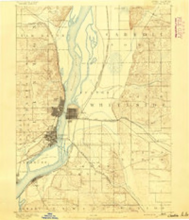
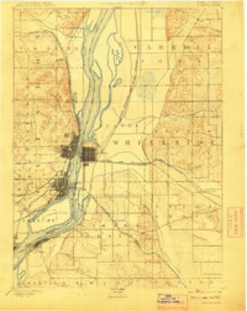
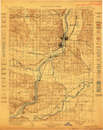
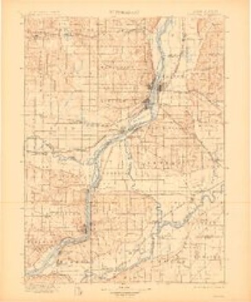
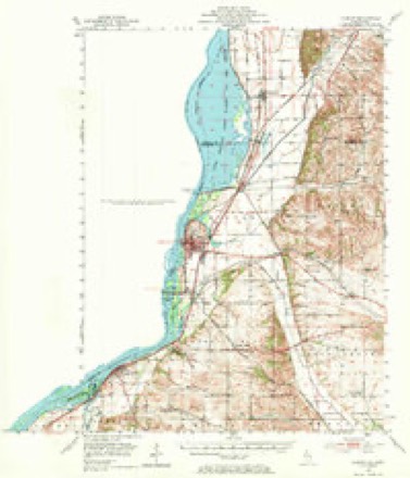
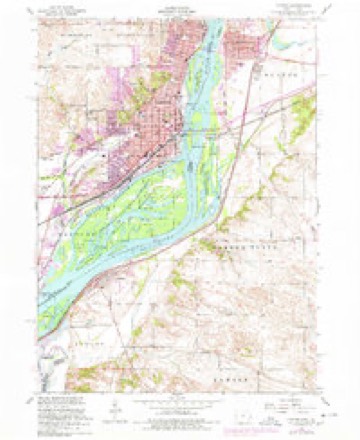
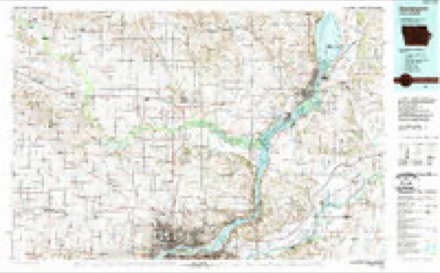
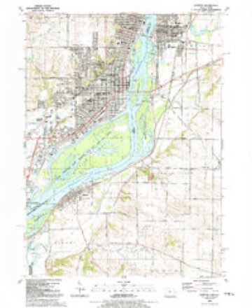
19 topographic sheets cover this place, the earliest surveyed in 1891 and the latest in 1991. It stands in Albany Township. It lies in ZIP code area 61230. It stands on Spring Creek. The Survey maps it on the Clinton quadrangle. 864 people lived here at the 2020 count.
Population over time
2 figuresAlbany fell from 891 to 864 between 2010 and 2020. These are the recorded population figures Wikidata holds for this place, reached through the Geographic Names Information System number this page is keyed on rather than by name, so they belong to this place and not to another of the same name. Most are census counts, but not all are: an early figure may be a founding or settlement estimate, and an estimate published within five years of a census is left out. The change column is computed, and is left blank where more than 20 years separate a figure from the one before it, because a gap that long is not a change between two counts.
| Year | People | Change |
|---|---|---|
| 2010 | 891 | |
| 2020 | 864 | -27 (-3%) |
Topographic sheets covering this place
11 surveys from 19 printed sheetsMatched by testing this settlement's coordinate against the published boundary of every sheet in the United States Geological Survey's historical collection. Each opens the scanned sheet at the Survey.
- 1891 USGS Clinton quadrangle1:62500
- 1894 USGS Clinton quadrangle1:62500, 3 printings
- 1899 USGS Clinton quadrangle1:125000
- 1899 USGS Cordova quadrangle1:125000, 4 printings
- 1952 USGS Clinton quadrangle1:62500, 2 printings
- 1953 USGS Clinton quadrangle1:24000
- 1958 USGS Davenport quadrangle1:250000, 2 printings
- 1961 USGS Davenport quadrangle1:250000
- 1962 USGS Davenport quadrangle1:250000
- 1984 USGS Davenport quadrangle1:100000, 2 printings
- 1991 USGS Clinton quadrangle1:24000



In the county-history sources
7,927 words on this townshipHistory of Whiteside County, Illinois, from Its First Settlement to the Present Time;, published 1877 names this settlement in its chapter on Albany Township. These are the passages that mention it, exactly as the scans read.
The assessment of Albany Precinct for the year 1839, the Precinct then including the present townships of Albany, Garden Plain and Newton, made by Lewis Spurlock, Assessor, the original of which is on file in the County Clerk's ofiice, shows fifty-one persons assessed. The property assessed was only personal, and consisted in the aggregate of 38 horses, valued at $2,025; 157 cows and oxen, valued at $2,995; 390 hogs, valued at $1,201 ; 8 sheep, valued at $!«; valuation of wagons, $928; of household goods, $1,695; of mechanical tools, $265, and of clocks and watches, $259. Total assessed valuation of all personal. property, $9,384.
Passage source: History of Whiteside County, Illinois, from Its First Settlement to the Present Time;, published 1877.
Albany township contains about 2,000 acres of improved lands, and about 4,000 of unimproved. From the Assessor's book for 1877 the number of horses in the township is put down at 213; number of cattle, 488; of mules and asses, 3; of sheep, 75; of hogs, 1937; carriages and wagons, 92; sewing and knitting machines, 90; piano fortes, 11; melodeons and organs, 29. Total value of lands, lots and personal property $155,321 ; value of railroad property, $9,529. Total assessed value of all property in 1877, $164,850.
Passage source: History of Whiteside County, Illinois, from Its First Settlement to the Present Time;, published 1877.
State of Ohio. Mr. Mitchell made claim to what is now known as Upper xilbany, and Corbin to Lower Albany. During that year the former built ft small cabin on a mound still to be seen in the present lumber yard of Hon. B. H. Nevitt, and the latter put up a tent around a tree at the edge of the bluflf near the corner of Main and Maple Streets. The tree, being a large one, afforded considerable protection to his improvised dwelling, and gave rise to the report, which is still in circulation, that he lived in a tree. It appears that neither of these gentlemen had any idea of becoming permanent settlers, and only made their claims for speculative purposes, for no sooner did other parties come in with the hona fide intention of making their homes in the town then they willingly sold their interest in the lands, and hied to other parts. There was a great deal of that kind of business done in Illinois and other Western States and Territories at that day, many parties following it as their only occupation. Their method would be to find out first by exploration some locality which offered natural advantages either for the location of a village or city like that at Albany, or by reason of the fertility of the soil a home for the farmer and producer, and then cause these advantages to be spread abroad as far as possible. They were usually shrewd men, and could spot an advantageous position as soon as their eyes fell upon it. Although simply speculators, considerable credit is due them for opening up to settlement many a splendid commercial position at an early date which otherwise might not have been noticed, or if noticed, not until at a much later period and when other and inferior localities had been selected and were well in their growth.
Passage source: History of Whiteside County, Illinois, from Its First Settlement to the Present Time;, published 1877.
Machine-read from a century-old scan, so expect the errors a machine makes: misspelled names, dropped words, stray characters.
Read the whole chapter on Albany Township - it names this place 37 more 37 times.
Fires near this place
23 since 2005Regional context, not property-specific evidence. The federal wildfire occurrence database lists 23 fires within 5 miles of Albany between 2005 and 2020, burning about 69 acres in total. None started naturally. None was recorded as arson. Distance is straight-line from the map coordinates, so a fire counted here may appear on a neighbouring settlement's page as well.
| Reported cause | Fires |
|---|---|
| Missing data/not specified/undetermined | 17 |
| Debris and open burning | 2 |
| Railroad operations and maintenance | 1 |
| Recreation and ceremony | 1 |
| Smoking | 1 |
| Equipment and vehicle use | 1 |
The most recent of them, most recent first, with the day each was reported and the service that recorded it.
| Date | Cause | Size | Reported by | Name on the report |
|---|---|---|---|---|
| 15 September 2017 | Smoking | under an acre | Iowa Department of Natural Resources | not named |
| 8 August 2005 | Missing data/not specified/undetermined | under an acre | Iowa State Fire Marshal's Office | not named |
| 5 July 2006 | Missing data/not specified/undetermined | 1.0 acres | Iowa Department of Natural Resources | not named |
| 18 July 2006 | Missing data/not specified/undetermined | 1.0 acres | Iowa Department of Natural Resources | not named |
| 7 June 2011 | Missing data/not specified/undetermined | 5.0 acres | Iowa Department of Natural Resources | REAR OF 2103 7TH AVE, CAMANCHE, IA |
| 17 May 2006 | Missing data/not specified/undetermined | under an acre | Iowa Department of Natural Resources | not named |
| 12 May 2008 | Missing data/not specified/undetermined | 1.0 acres | Iowa Department of Natural Resources | not named |
| 5 April 2014 | Debris and open burning | 3.0 acres | Iowa Department of Natural Resources | not named |
Mines and quarries near this place
10 of 11 shownRegional context, not property-specific evidence. The federal mineral resources record lists 11 workings within 5 miles of Albany: 5 past producers, 4 producers, 1 plant, 1 occurrence. 5 still produce. What was taken out: Sand and Gravel, Construction, Stone, Crushed/Broken, Lead, Limestone, Dimension, Stone, Crushed/Broken. Distance is straight-line from the map coordinates, so a quarry counted here may appear on a neighbouring settlement's page as well.
| Where | Site | Commodity | Status | Recorded |
|---|---|---|---|---|
| Clinton Diggings | Lead | Occurrence | Galena | |
| Clinton Quarries | Limestone, Dimension, Stone, Crushed/Broken | Past Producer | ||
| Huizenga Quarry | Stone, Crushed/Broken | Producer | ||
| Mcmahon Quarry and Plant No. 8 | Stone, Crushed/Broken | Plant | ||
| Second Avenue Quarry | Stone, Crushed/Broken | Past Producer | ||
| Unknown | Stone, Crushed/Broken | Past Producer | ||
| Acme Aggregates | Sand and Gravel, Construction | Producer | ||
| Albany-Cordova Plant #1 Dredge | Sand and Gravel, Construction | Producer | ||
| Determan Sand and Gravel Dredge | Sand and Gravel, Construction | Producer | ||
| Unknown | Sand and Gravel, Construction | Past Producer |
Storms near this place
22 since 1998Regional context, not property-specific evidence. The National Weather Service names Albany in 22 storm reports between 1998 and 2026: 12 thunderstorm wind, 5 flood, 4 hail, 1 tornado. No death or injury is recorded in these reports. Each account below is quoted exactly as the forecast office filed it, from the NOAA Storm Events Database, and each date opens the federal record of that event.
| When | Event | Place named | Harm | What the report says |
|---|---|---|---|---|
| April 2011 | Flood | Albany | $250,000 | no account filed |
| May 2009 | Flood | Albany | $166,670 | Heavy rains during the last week of April resulted in the Rock River at Joslin and Moline going above their respective moderate flood stage levels during the first few days of May.||The Rock River at Joslin surpassed its moderate flood stage level of 14 feet on May 1 around 6 pm. It crested around 14.5 feet around 12 am May 3. It fell back below its moderate flood stage level around 6 pm on May 4.||The Rock River at Moline surpassed its moderate flood stage level of 13 feet on May 2 around 3 pm. It crested around 13.14 feet around 3 pm May 3. It fell back below its moderate flood stage level around 9 am on May 4. |
| May 2010 | Flood | Albany | $150,000 | Heavy rains during the second week of May resulted in moderate flooding on the Rock River.||At Joslin, the river level surpassed the moderate flood stage level of 14 feet on May 15 around 10 am. It crested around 14.5 feet around 1 pm May 16. It fell below the moderate flood stage level around 1 pm May 17.||At Moline, the river level surpassed the moderate flood stage level of 13 feet on May 15 around 7 am. It crested around 13.3 feet around 7 am May 16. It fell below the moderate flood stage level around 1 am May 18. |
| June 2005 | Thunderstorm Wind | Albany | $20,000 | Large limbs and power lines down. A business had several broken windows and a tree fell on a house causing moderate damage. |
| August 2003 | Thunderstorm Wind | Albany | $5,000 | Tree limbs down on power lines. |
| July 2006 | Thunderstorm Wind | Albany | $4,000 | Trees down. Time is estimated based on radar. |
| June 1998 | Thunderstorm Wind | Albany | $4,000 | Power was out across Western Whiteside County after strong thunderstorm winds downed trees and damaged a power transformer. |
| August 2006 | Thunderstorm Wind | Albany | $2,000 | The highway department reported branches and limbs down on Kennedy Road. |
| July 2006 | Thunderstorm Wind | Albany | $2,000 | Trees down on Ebson Rd north of the turnoff for Garden Plain Rd. Time is estimated based on radar. |
| November 2020 | Tornado (EF1) | Albany | - | This was rated an EF1 tornado, with max winds at 90 mph, a path length of 0.3 miles, and a path width of 100 yards. A roof was blown off of a barn and into an adjacent field. |
| June 2019 | Flood | Albany | - | The Mississippi River at Camanche Iowa began the month above its major flood stage of 20.5 feet and crested at 21.23 feet on June 1st. The river fell back below major flood stage on June 2nd around 3 AM. |
| May 2019 | Flood | Albany | - | The Mississippi River at Camanche (CMMI4) rose above its major flood stage of 20.5 feet during the morning of May 30th and continued into June. The river crested in June, with the stage rising to 21.1 feet at the end of May 31st. |
| August 2012 | Thunderstorm Wind | Albany | - | A trained spotter reported tree limbs down that were approximately 3 inches in diameter. Heavy rain was falling at the time of the report. |
| July 2011 | Thunderstorm Wind | Albany | - | Wind gusts estimated to be 60 mph blew down some branches about 5 miles south of Albany, IL around 504 am CDT July 24. A road was partially blocked by the branches. |
| April 2010 | Hail | Albany | - | Non-severe hail (<1.0) fell in Albany, IL around 630 pm April 4. |
| April 2010 | Hail | Albany | - | Non-severe hail (<1.0) fell for 5 minutes near Albany, IL between 525 and 530 pm April 4. |
| June 2010 | Thunderstorm Wind | Albany | - | Wind gusts estimated to be 60 mph were observed 2 miles south of Albany, IL at 752 pm June 18. |
| August 2007 | Thunderstorm Wind | Albany | - | Winds estimated to be 65 mph blew down a tree in Albany, IL. |
| September 2005 | Thunderstorm Wind | Albany | - | Numerous trees and power lines were downed from Albany to Coleta. |
| March 2026 | Hail | Albany | - | no account filed |
| May 2013 | Hail | Albany | - | no account filed |
| July 2002 | Thunderstorm Wind | Albany | - | no account filed |
Nearest settlements
The eight closest, with where each one stands in the county. Distances are straight-line, computed from the Geographic Names Information System coordinates.
| Map | Place | Distance | Sheets |
|---|---|---|---|
| East Clinton | 4.4 miles | 19 | |
| Garden Plain | 4.8 miles | 19 | |
| Little Oklahoma | 5.9 miles | 19 | |
| Fulton | 6.2 miles | 19 | |
| Newton Corners | 6.6 miles | 14 | |
| Mineral Springs (historical) | 8.0 miles | 14 | |
| Oliver | 8.0 miles | 18 | |
| Union Grove | 10.7 miles | 18 |
Elsewhere
Matched on this settlement's Geographic Names Information System number rather than its name, so it cannot be a different place of the same name in another state.
| Wikipedia article on Albany | An encyclopaedic summary. Its text is share-alike, so it is linked here rather than copied. |
| Wikidata item Q2001662 | The structured record the population and elevation above come from. Public domain (CC0). |
Provenance
This settlement is recorded in the Geographic Names Information System as feature 403376. The sheet list is computed by point-in-boundary test against the United States Geological Survey's historical topographic inventory. Both are works of the United States government and carry no copyright under 17 U.S.C. 105.
Wildfire. Short, Karen C. 2022. Spatial wildfire occurrence data for the United States, 1992-2020 [FPA_FOD_20221014]. 6th Edition. Fort Collins, CO: Forest Service Research Data Archive. https://doi.org/10.2737/RDS-2013-0009.6 Collected with United States Government funding and usable without additional permissions or fees.
Mines and quarries. USGS Mineral Resources Data System (MRDS) https://mrdata.usgs.gov/mrds/ A work of the United States government, no copyright under 17 U.S.C. 105.
Storms. NOAA National Centers for Environmental Information, Storm Events Database https://www.ncei.noaa.gov/stormevents/ A work of the United States government, no copyright under 17 U.S.C. 105. Narratives are quoted verbatim from the National Weather Service report and are not edited or summarised.