 Block
Mineral Springs, Illinois
14 topographic sheets cover this place, the earliest surveyed in 1899 and the latest in 1984. It stands in Newton Township. It lies in ZIP code area 61251. The Survey maps it on the Erie quadrangle. The federal gazetteer marks this settlement historical: it is no longer a populated place, though the surveys that recorded it still are.
Topographic sheets covering this place
8 surveys from 14 printed sheetsMatched by testing this settlement's coordinate against the published boundary of every sheet in the United States Geological Survey's historical collection. Each opens the scanned sheet at the Survey.
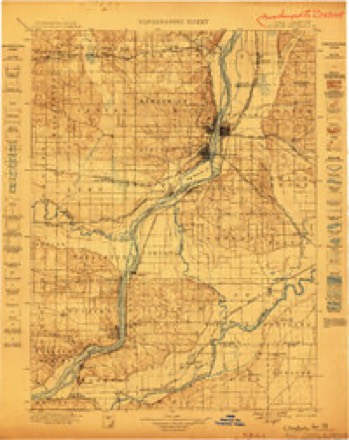
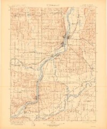
- 1899 USGS Clinton quadrangle1:125000
- 1899 USGS Cordova quadrangle1:125000, 4 printings
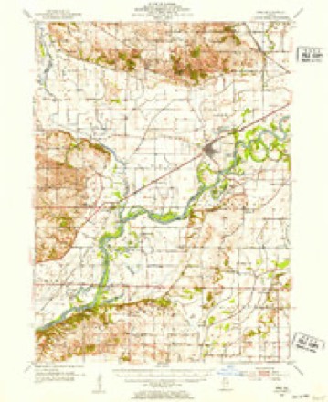
- 1952 USGS Erie quadrangle1:62500, 2 printings
- 1958 USGS Davenport quadrangle1:250000, 2 printings
- 1961 USGS Davenport quadrangle1:250000
- 1962 USGS Davenport quadrangle1:250000
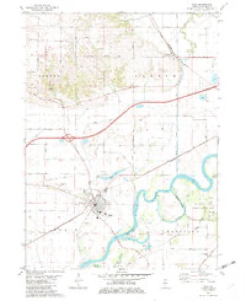
- 1982 USGS Erie quadrangle1:24000
- 1984 USGS Davenport quadrangle1:100000, 2 printings



In the county-history sources
3,333 words on this townshipPortrait and Biographical Album of Whiteside County, Illinois : Containing Full-page Portraits and Biographies of All the Governors of Illinois, and of the Presidents of the United States, published 1885; History of Whiteside County, Illinois from Its Earliest Settlement to 1908 : Illustrated, with Biographical Sketches of Some Prominent Citizens of the County, published 1908 names this settlement in its chapter on Newton Township. These are the passages that mention it, exactly as the scans read.
Henty Rexroad and Eliza, daughter of Luke Abbey, were the first to enter into matrimonial alliance. The first child born in the township was William, son of Luke Abbey. At the breaking out of the late war he enlisted, and was mustered into the 341)1 Regt. 111. Vol. Inf., but died before goingintbany active service. The first death was that of John Winchell's child, who died near Mineral Springs.
Passage source: Portrait and Biographical Album of Whiteside County, Illinois : Containing Full-page Portraits and Biographies of All the Governors of Illinois, and of the Presidents of the United States, published 1885.
As early as 1839 the Millers, Thompsons and Booths were upon the scene, and at once felt the importance of religious services. Mr. and Mrs. John S. Thompson took part in the organization of a church at Albany in 1839. After the Methodists appeared, both denominations held services as they could secure ministers in the log schoolhouse near the James Smack place. After the old Kingsbury school house was built in 1854, the Presbyterians met there until the erection of their present edifice. Ministers from Albany, Fulton, Morrison and other towns in the presbytery sent supplies. Finally a meeting was called in the Kingsbury schoolhouse, March 11, 1857, and a permanent organization effected with James Blean and John Thompson as ruling elders. The sermon was preached by Rev. Louis Gano, and the constitutional questions proposed by Rev. W. E. Mason, of Fulton. Fourteen persons united- in the organization: Joseph Miller, Robert Blean, John Thompson, Thomas Wilson, James Blean, Mrs. Nancy Kennedy, Mrs. Emmons, Mrs. Joseph Miller, Mrs. John Thompson, Mrs. James Blean, Mrs. Deborah Booth, Mrs. Sarah Thompson, Mrs. Robert Blean, Mrs. Thomas Wilson. The same day, Mr. and Mrs. Robert Slaymaker, William Weakley and Mrs. Ephraim Rexroad united with the church. For eleven years the people continued to meet in the Kingsbury schoolhouse, but in the spring of 1868, assisted by the Board of Church Extension, sufficient money was raised to erect a building.
Passage source: History of Whiteside County, Illinois from Its Earliest Settlement to 1908 : Illustrated, with Biographical Sketches of Some Prominent Citizens of the County, published 1908.
Machine-read from a century-old scan, so expect the errors a machine makes: misspelled names, dropped words, stray characters.
Fires near this place
1 since 2020Regional context, not property-specific evidence. The federal wildfire occurrence database lists 1 fire within 5 miles of Mineral Springs (historical) in 2020, burning about 19 acres in total. None started naturally. None was recorded as arson. Distance is straight-line from the map coordinates, so a fire counted here may appear on a neighbouring settlement's page as well.
| Reported cause | Fires |
|---|---|
| Debris and open burning | 1 |
The most recent of them, most recent first, with the day each was reported and the service that recorded it.
| Date | Cause | Size | Reported by | Name on the report |
|---|---|---|---|---|
| 5 April 2020 | Debris and open burning | 19 acres | Illinois Division of Forestry Resources | 20-056 |
Settlements close enough to share some of these fires:
Mines and quarries near this place
2 within 5 milesRegional context, not property-specific evidence. The federal mineral resources record lists 2 workings within 5 miles of Mineral Springs (historical): 2 past producers. None of them still produces. What was taken out: Stone, Crushed/Broken. Distance is straight-line from the map coordinates, so a quarry counted here may appear on a neighbouring settlement's page as well.
| Where | Site | Commodity | Status | Recorded |
|---|---|---|---|---|
| Erie Township Highway Department | Stone, Crushed/Broken | Past Producer | ||
| Slaymaker Quarry | Stone, Crushed/Broken | Past Producer |
Nearest settlements
The eight closest, with where each one stands in the county. Distances are straight-line, computed from the Geographic Names Information System coordinates.
| Map | Place | Distance | Sheets |
|---|---|---|---|
| Newton Corners | 1.7 miles | 14 | |
| Erie | 4.1 miles | 14 | |
| Fenton | 4.2 miles | 14 | |
| Pratt (historical) | 6.0 miles | 11 | |
| Garden Plain | 6.2 miles | 19 | |
| Oliver | 6.4 miles | 18 | |
| Denrock | 7.0 miles | 11 | |
| Hamilton Corners | 7.4 miles | 11 |
Provenance
This settlement is recorded in the Geographic Names Information System as feature 1824061. The sheet list is computed by point-in-boundary test against the United States Geological Survey's historical topographic inventory. Both are works of the United States government and carry no copyright under 17 U.S.C. 105.
Wildfire. Short, Karen C. 2022. Spatial wildfire occurrence data for the United States, 1992-2020 [FPA_FOD_20221014]. 6th Edition. Fort Collins, CO: Forest Service Research Data Archive. https://doi.org/10.2737/RDS-2013-0009.6 Collected with United States Government funding and usable without additional permissions or fees.
Mines and quarries. USGS Mineral Resources Data System (MRDS) https://mrdata.usgs.gov/mrds/ A work of the United States government, no copyright under 17 U.S.C. 105.