 Block
Union Grove, Illinois
18 topographic sheets cover this place, the earliest surveyed in 1891 and the latest in 1985. It stands in Union Grove Township. It lies in ZIP code area 61270. The Survey maps it on the Union Grove quadrangle. It stands 689 feet above sea level.
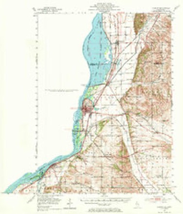
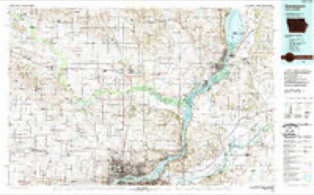
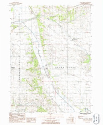
Topographic sheets covering this place
10 surveys from 18 printed sheetsMatched by testing this settlement's coordinate against the published boundary of every sheet in the United States Geological Survey's historical collection. Each opens the scanned sheet at the Survey.
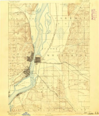
- 1891 USGS Clinton quadrangle1:62500
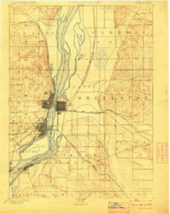
- 1894 USGS Clinton quadrangle1:62500, 3 printings
- 1899 USGS Clinton quadrangle1:125000
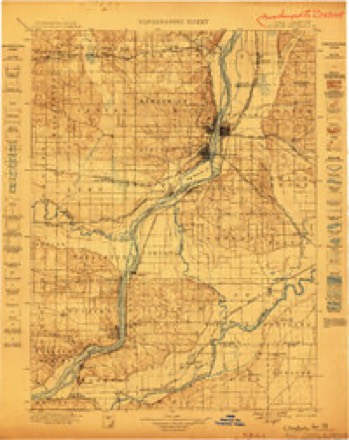
- 1899 USGS Cordova quadrangle1:125000, 4 printings
- 1952 USGS Clinton quadrangle1:62500, 2 printings
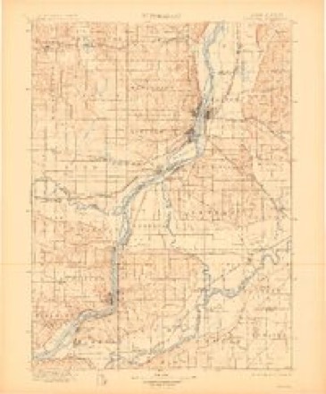
- 1958 USGS Davenport quadrangle1:250000, 2 printings
- 1961 USGS Davenport quadrangle1:250000
- 1962 USGS Davenport quadrangle1:250000
- 1984 USGS Davenport quadrangle1:100000, 2 printings
- 1985 USGS Union Grove quadrangle1:24000



In the county-history sources
2,986 words on this townshipPortrait and Biographical Album of Whiteside County, Illinois : Containing Full-page Portraits and Biographies of All the Governors of Illinois, and of the Presidents of the United States, published 1885 names this settlement in its chapter on Union Grove Township. These are the passages that mention it, exactly as the scans read.
The first settler in the territory now embraced by Union Grove Township was Joshua T. Atkinson, who was born in Massachusetts in 1810. He first came to Whiteside County in the fall of 1834, settling in Prophetstown, and occupying a cabin with J. W. Stakes. The following spring he and Stakes made claims in what was then Union Grove Precinct, on both sides of Rock Creek, and commenced their improvements. These claims were made in what is now Union Grove and Mount Pleasant Townships, and were situated in the northern portions. They afterwards divided their interests, Atkinson taking the west side and Stakes the east. He had put up a cabin, which was the first built in the township. It was located where Unionville now is, sections i and 12. Along in the spring (1836) Daniel B. Young came in. He was born Sept. 16, 1800, in New Jersey. He went from there to Ohio, and from Ohio he came to Union Grove. He remained for a while, looking around, and finally purchased Mr. Atkinson's claim on section i, which consisted of 640 acres of land with improvements. After making some further preparations, he returned to Ohio for his family. In the fall he came back, bringing his family, and settled down on his purchase. The following
Passage source: Portrait and Biographical Album of Whiteside County, Illinois : Containing Full-page Portraits and Biographies of All the Governors of Illinois, and of the Presidents of the United States, published 1885.
Mr. Young married Betsey Jackson in 1824. They came to Union Grove with seven children. Five children were born to them in Union Grove. All are living except two, Tryphena and Abigail. Mrs. Young died Jan. 13, 1872. Mr. Young sold his farm to H. M. Teller, and is now living in Morrison. John Richards and family came in 1836, locating on section 34. He came around the lakes. The vessel in which they took passage was wrecked and they lost all their money and most of their goods, and came very nearly being drowned. Mr. Richards died several years ago, but his wife is still living.
Passage source: Portrait and Biographical Album of Whiteside County, Illinois : Containing Full-page Portraits and Biographies of All the Governors of Illinois, and of the Presidents of the United States, published 1885.
Benj. Burns and John A. Robertson came in 1837 and commenced the erection of a saw-mill on the ground now occupied by William Annan's flouring mill. This mill was of great assistance to the early settlers in furnishing them with lumber to build their houses, and for other purposes. Henry Ustick, Elisha Hubbart, John A. King, John Kent and M. L. Atkinson came in and made claims in 1838. Henry Boyer settled on the Mt. Pleasant site in 1836, where he lived until 1840, when he moved to Union Grove. The start having been made, the settlement increased quite rapidly.
Passage source: Portrait and Biographical Album of Whiteside County, Illinois : Containing Full-page Portraits and Biographies of All the Governors of Illinois, and of the Presidents of the United States, published 1885.
Machine-read from a century-old scan, so expect the errors a machine makes: misspelled names, dropped words, stray characters.
Read the whole chapter on Union Grove Township - it names this place 6 more 6 times.
Mines and quarries near this place
9 within 5 milesRegional context, not property-specific evidence. The federal mineral resources record lists 9 workings within 5 miles of Union Grove: 5 past producers, 2 occurrences, 2 producers. 2 still produce. What was taken out: Stone, Crushed/Broken, Sand and Gravel, Construction. Distance is straight-line from the map coordinates, so a quarry counted here may appear on a neighbouring settlement's page as well.
| Where | Site | Commodity | Status | Recorded |
|---|---|---|---|---|
| J. Dykstra Pit | Sand and Gravel, Construction | Past Producer | ||
| Acker-Fulton Quarry | Stone, Crushed/Broken | Producer | ||
| Limestone Prospect | Stone, Crushed/Broken | Occurrence | ||
| Limestone Prospect | Stone, Crushed/Broken | Occurrence | ||
| Morrison Quarry | Stone, Crushed/Broken | Past Producer | ||
| S Aker Quarry | Stone, Crushed/Broken | Producer | ||
| Unnamed Limestone Quarry | Stone, Crushed/Broken | Past Producer | ||
| Unnamed Ls Quarry | Stone, Crushed/Broken | Past Producer | ||
| Whiteside County Highway Department | Stone, Crushed/Broken | Past Producer |
Storms near this place
2 since 2018Regional context, not property-specific evidence. The National Weather Service names Union Grove in 2 storm reports between 2018 and 2026: 2 thunderstorm wind. No death or injury is recorded in these reports. Each account below is quoted exactly as the forecast office filed it, from the NOAA Storm Events Database, and each date opens the federal record of that event.
| When | Event | Place named | Harm | What the report says |
|---|---|---|---|---|
| August 2018 | Thunderstorm Wind | Union Grove | - | A NWS Storm Survey found five power poles down at this location. Four of them were leaning and one appeared to be snapped near the base. Corn in a field next to power poles was also damaged. Wind speeds were estimated to be between 80 and 90 MPH. Time of the event was estimated using the radar. |
| April 2026 | Thunderstorm Wind | Union Grove | - | no account filed |
Nearest settlements
The eight closest, with where each one stands in the county. Distances are straight-line, computed from the Geographic Names Information System coordinates.
| Map | Place | Distance | Sheets |
|---|---|---|---|
| Unionville | 2.5 miles | 11 | |
| Oliver | 3.2 miles | 18 | |
| Morrison | 3.7 miles | 11 | |
| Ustick | 3.9 miles | 11 | |
| Spring Valley | 4.9 miles | 18 | |
| Garden Plain | 6.0 miles | 19 | |
| Little Oklahoma | 6.8 miles | 19 | |
| Fenton | 7.2 miles | 14 |
Elsewhere
Matched on this settlement's Geographic Names Information System number rather than its name, so it cannot be a different place of the same name in another state.
| Wikipedia article on Union Grove | An encyclopaedic summary. Its text is share-alike, so it is linked here rather than copied. |
| Wikidata item Q20710691 | The structured record the population and elevation above come from. Public domain (CC0). |
Provenance
This settlement is recorded in the Geographic Names Information System as feature 420071. The sheet list is computed by point-in-boundary test against the United States Geological Survey's historical topographic inventory. Both are works of the United States government and carry no copyright under 17 U.S.C. 105.
Mines and quarries. USGS Mineral Resources Data System (MRDS) https://mrdata.usgs.gov/mrds/ A work of the United States government, no copyright under 17 U.S.C. 105.
Storms. NOAA National Centers for Environmental Information, Storm Events Database https://www.ncei.noaa.gov/stormevents/ A work of the United States government, no copyright under 17 U.S.C. 105. Narratives are quoted verbatim from the National Weather Service report and are not edited or summarised.