 Block
Garden Plain, Illinois
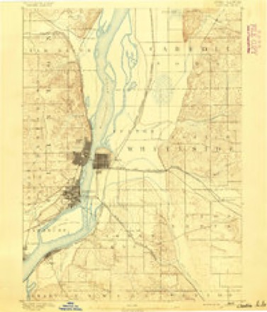
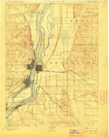
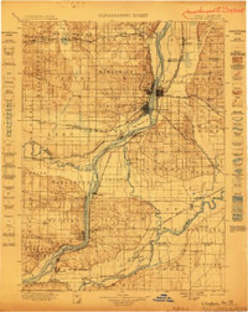
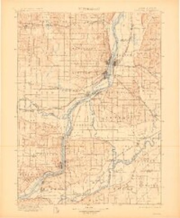
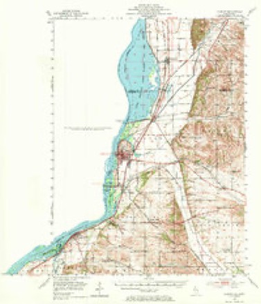
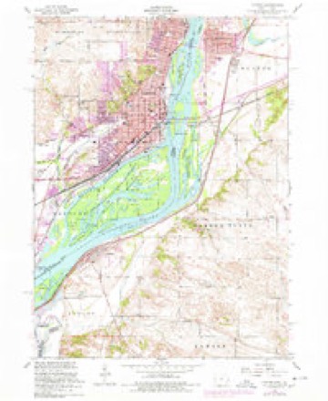
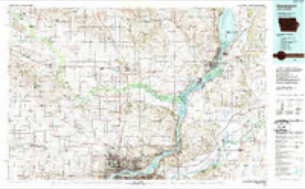
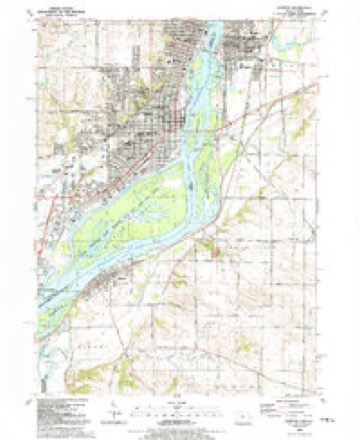
19 topographic sheets cover this place, the earliest surveyed in 1891 and the latest in 1991. It stands in Garden Plain Township. It lies in ZIP code area 61252. The Survey maps it on the Clinton quadrangle.
Topographic sheets covering this place
11 surveys from 19 printed sheetsMatched by testing this settlement's coordinate against the published boundary of every sheet in the United States Geological Survey's historical collection. Each opens the scanned sheet at the Survey.
- 1891 USGS Clinton quadrangle1:62500
- 1894 USGS Clinton quadrangle1:62500, 3 printings
- 1899 USGS Clinton quadrangle1:125000
- 1899 USGS Cordova quadrangle1:125000, 4 printings
- 1952 USGS Clinton quadrangle1:62500, 2 printings
- 1953 USGS Clinton quadrangle1:24000
- 1958 USGS Davenport quadrangle1:250000, 2 printings
- 1961 USGS Davenport quadrangle1:250000
- 1962 USGS Davenport quadrangle1:250000
- 1984 USGS Davenport quadrangle1:100000, 2 printings
- 1991 USGS Clinton quadrangle1:24000



In the county-history sources
3,727 words on this townshipPortrait and Biographical Album of Whiteside County, Illinois : Containing Full-page Portraits and Biographies of All the Governors of Illinois, and of the Presidents of the United States, published 1885 names this settlement in its chapter on Garden Plain Township. These are the passages that mention it, exactly as the scans read.
Garden Plain has the Mississippi River and Fulton Township on the north, Union Grove on the east, Newton on the South, and Albany and the Mississippi on the west. The topography of this township is varied. Commencing near the southwestern portion, ranging along near the banks of the Mississippi for some distance, and then coursing to the eastward, are a line of bluffs, or perhaps, more appropriately speaking, a Succession of hills.
Passage source: Portrait and Biographical Album of Whiteside County, Illinois : Containing Full-page Portraits and Biographies of All the Governors of Illinois, and of the Presidents of the United States, published 1885.
David Parker, with his large family, began the settlement of Garden Plain, in the spring of 1836, making a claim in what was afterwards known as Parker's Grove. Here he built a cabin, which was the first in the township. A more particular history of this pioneer, and his large family, will be found in the biographical part of this work.
Passage source: Portrait and Biographical Album of Whiteside County, Illinois : Containing Full-page Portraits and Biographies of All the Governors of Illinois, and of the Presidents of the United States, published 1885.
This territory was, as before stated, in the Albany Precinct, but when the townships were surveyed and organized, and the sections laid out, the locations of the settlers became better known. Mathews and Sweet came around the lakes to Chicago, and footed it from there to their new home. Samuel Robbins and John Redfern located on what is now known as the Ham Farm. When the township lines were drawn they divided the farm, placing Mr. Redfern in Fulton and Mr. Robbins in Garden Plain Township. Alpheus Mathews settled on section 13, where he made a claim, and for some time lived in David Parker's cabin. Joseph Bacon located on section T3, and Charles K. Rood on section 22. Ira Burch located on section 12. Abel Parker and James A. Sweet planted the first crop - a sod crop - in the township, in 1837, at the Grove farm. Mr. Parker did not improve the Garden Plain Corners farm until 1839, when, after his house was finished, he moved in. This afterward became the property of David Parker, the oldest son of Abel Parker. It is now owned by Charles D. Parker, grandson of Abel, and son of David Parker.
Passage source: Portrait and Biographical Album of Whiteside County, Illinois : Containing Full-page Portraits and Biographies of All the Governors of Illinois, and of the Presidents of the United States, published 1885.
Machine-read from a century-old scan, so expect the errors a machine makes: misspelled names, dropped words, stray characters.
Read the whole chapter on Garden Plain Township - it names this place 11 more 11 times.
Fires near this place
2 since 2006Regional context, not property-specific evidence. The federal wildfire occurrence database lists 2 fires within 5 miles of Garden Plain in 2006, burning about 2 acres in total. None started naturally. None was recorded as arson. Distance is straight-line from the map coordinates, so a fire counted here may appear on a neighbouring settlement's page as well.
| Reported cause | Fires |
|---|---|
| Missing data/not specified/undetermined | 2 |
The most recent of them, most recent first, with the day each was reported and the service that recorded it.
| Date | Cause | Size | Reported by | Name on the report |
|---|---|---|---|---|
| 17 May 2006 | Missing data/not specified/undetermined | under an acre | Iowa Department of Natural Resources | not named |
| 27 January 2006 | Missing data/not specified/undetermined | 1.0 acres | Iowa Department of Natural Resources | not named |
Settlements close enough to share some of these fires:
Mines and quarries near this place
5 within 5 milesRegional context, not property-specific evidence. The federal mineral resources record lists 5 workings within 5 miles of Garden Plain: 3 past producers, 1 producer, 1 occurrence. 1 still produces. What was taken out: Stone, Crushed/Broken, Limestone, Dimension, Stone, Crushed/Broken. Distance is straight-line from the map coordinates, so a quarry counted here may appear on a neighbouring settlement's page as well.
| Where | Site | Commodity | Status | Recorded |
|---|---|---|---|---|
| Clinton Quarries | Limestone, Dimension, Stone, Crushed/Broken | Past Producer | ||
| Huizenga Quarry | Stone, Crushed/Broken | Producer | ||
| Limestone Prospect | Stone, Crushed/Broken | Occurrence | ||
| Unnamed Limestone Quarry | Stone, Crushed/Broken | Past Producer | ||
| Unnamed Ls Quarry | Stone, Crushed/Broken | Past Producer |
Storms near this place
9 since 1995Regional context, not property-specific evidence. The National Weather Service names Garden Plain in 9 storm reports between 1995 and 2025: 6 thunderstorm wind, 3 hail. No death or injury is recorded in these reports. Each account below is quoted exactly as the forecast office filed it, from the NOAA Storm Events Database, and each date opens the federal record of that event.
| When | Event | Place named | Harm | What the report says |
|---|---|---|---|---|
| May 2025 | Thunderstorm Wind | Garden Plain | - | The 911 Dispatch Center reported powerlines down at the junction of Sand Road and Garden Plain Road south of Fulton. The time of the event was estimated using radar. |
| August 2025 | Thunderstorm Wind | Garden Plain | - | An approximately 12 inch oak tree fell on outbuilding. |
| July 2023 | Thunderstorm Wind | Garden Plain | - | Thunderstorm winds blown a 8 to 12 inch diameter tree limb down on neighbors property. |
| August 2012 | Thunderstorm Wind | Garden Plain | - | Wind speeds were estimated and relayed via ESPOTTER. |
| May 2008 | Hail | Garden Plain | - | Nickel-sized hail fell just north of Garden Plain, IL around 9:33 pm May 31. |
| March 2005 | Hail | Garden Plain | - | Small branches downed. |
| April 1995 | Thunderstorm Wind | Garden Plain | - | no account filed |
| May 1995 | Hail | Garden Plain | - | no account filed |
| May 1995 | Thunderstorm Wind | Garden Plain | - | no account filed |
Nearest settlements
The eight closest, with where each one stands in the county. Distances are straight-line, computed from the Geographic Names Information System coordinates.
| Map | Place | Distance | Sheets |
|---|---|---|---|
| East Clinton | 3.1 miles | 19 | |
| Oliver | 3.3 miles | 18 | |
| Little Oklahoma | 4.1 miles | 19 | |
| Newton Corners | 4.5 miles | 14 | |
| Albany | 4.8 miles | 19 | |
| Fulton | 4.8 miles | 19 | |
| Union Grove | 6.0 miles | 18 | |
| Mineral Springs (historical) | 6.2 miles | 14 |
Provenance
This settlement is recorded in the Geographic Names Information System as feature 408879. The sheet list is computed by point-in-boundary test against the United States Geological Survey's historical topographic inventory. Both are works of the United States government and carry no copyright under 17 U.S.C. 105.
Wildfire. Short, Karen C. 2022. Spatial wildfire occurrence data for the United States, 1992-2020 [FPA_FOD_20221014]. 6th Edition. Fort Collins, CO: Forest Service Research Data Archive. https://doi.org/10.2737/RDS-2013-0009.6 Collected with United States Government funding and usable without additional permissions or fees.
Mines and quarries. USGS Mineral Resources Data System (MRDS) https://mrdata.usgs.gov/mrds/ A work of the United States government, no copyright under 17 U.S.C. 105.
Storms. NOAA National Centers for Environmental Information, Storm Events Database https://www.ncei.noaa.gov/stormevents/ A work of the United States government, no copyright under 17 U.S.C. 105. Narratives are quoted verbatim from the National Weather Service report and are not edited or summarised.