 Block
Greenbush, Illinois
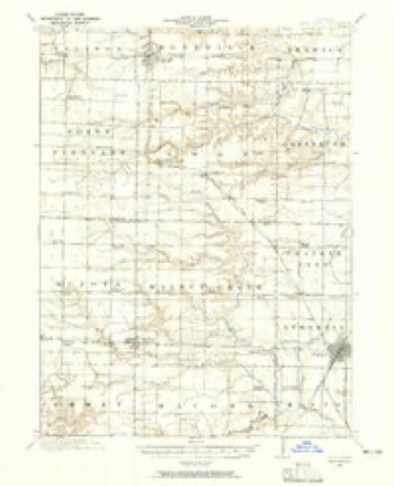
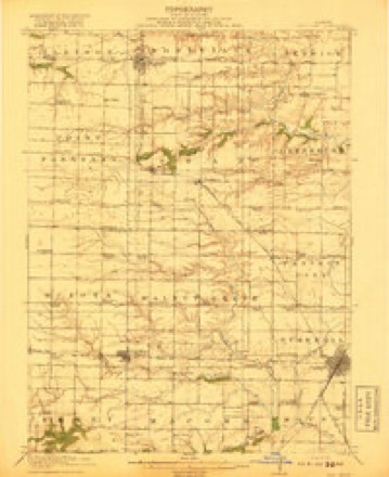
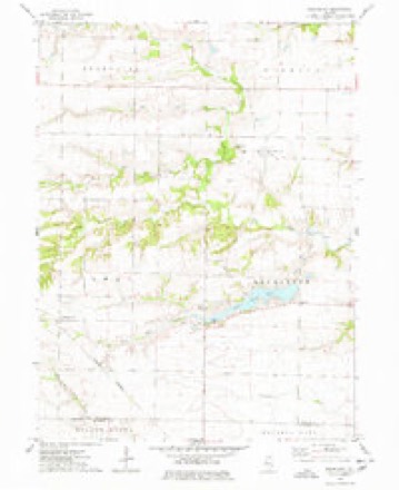
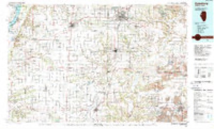
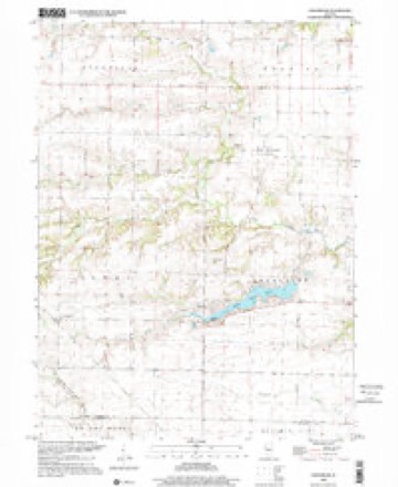
17 topographic sheets cover this place, the earliest surveyed in 1916 and the latest in 1998. It stands in Greenbush Township. It lies in ZIP code area 61415. It stands on Little Negro Creek. The Survey maps it on the Greenbush quadrangle. It stands 686 feet above sea level.
Topographic sheets covering this place
10 surveys from 17 printed sheetsMatched by testing this settlement's coordinate against the published boundary of every sheet in the United States Geological Survey's historical collection. Each opens the scanned sheet at the Survey.
- 1916 USGS Good Hope quadrangle1:62500, 2 printings
- 1918 USGS Good Hope quadrangle1:62500, 2 printings
- 1958 USGS Burlington quadrangle1:250000, 4 printings
- 1961 USGS Burlington quadrangle1:250000
- 1963 USGS Burlington quadrangle1:250000
- 1974 USGS Greenbush quadrangle1:24000
- 1985 USGS Galesburg quadrangle1:100000, 2 printings
- 1989 USGS Galesburg quadrangle1:100000
- 1990 USGS Burlington quadrangle1:250000, 2 printings
- 1998 USGS Greenbush quadrangle1:24000




In the county-history sources
4,497 words on this townshipPortrait and Biographical Album of Warren County, Illinois, published 1886 names this settlement in its chapter on Greenbush Township. These are the passages that mention it, exactly as the scans read.
The fiist couple to enter into matrimonial relations were Moses D Hand and Elizabeth Crawford. They were joined in the holy bonds of wedlock Dec. 23, 1835, by John C. Bond, Justice of the Peace. The next important event was the death of the sister of John Long. Her body was interred in the Bond burying ground. The first post office was opened at Greenfield, now known as Greenbush, by Charles Slice. Blankenship & Brother were the first to embark in the n>ercantile business. Mr. Desbro was the first educated young man to open school in the township, which was in a log house southeast of Greenbush. The first religious exercises, or preaching, was at Roland Simmons' house, by a Methodist circuit rider, in the winter of 1833-4.
Passage source: Portrait and Biographical Album of Warren County, Illinois, published 1886.
Greenbush went into township organization with the other townships, but the records have been lost and only a part of the proceedings of the first election can be given. We find, however, that David Armstrong acted as Moderator at tliis election. Levi Lincoln was elected Supervisor; William Shores, Collector; A. W. Simmons, Assessor; F. H. Merrill, Clerk; John C. Vauglin and L. L. Ury, Justices of the Peace; J. Butler R. M. Simmons and H. H. Hewitt, Commissioners of Highways.
Passage source: Portrait and Biographical Album of Warren County, Illinois, published 1886.
This township is numbered eight north, of range i west, and has for its boundary line, Berwick Township on the north, Knox County on the east, Fulton County on the south and Swan Township on the west. It is very liberally watered by Swan and Nigger Creeks and their tributaries, which run eastward and empty into Spoon River. The Quincy branch of the C. B. & Q. R. R. crosses the southeast corner of the township. In the northeast portion of the township and along the main creeks the land is somewhat broken, and is very well timbered ; the other portion of the township is rolling prairie. -The soil is rich and productive, corn and hay being the principal crop, which have a prolific growth. There are some grand old farms in Greenbush and many fine dwellings. Tlie peofile do their trading mostly at Avon, Fulton County, and at Greenbush Village. The population of this township, in 1880, was 1,053, which is about the present number.
Passage source: Portrait and Biographical Album of Warren County, Illinois, published 1886.
Machine-read from a century-old scan, so expect the errors a machine makes: misspelled names, dropped words, stray characters.
Read the whole chapter on Greenbush Township - it names this place 4 more 4 times.
Fires near this place
3 since 2013Regional context, not property-specific evidence. The federal wildfire occurrence database lists 3 fires within 5 miles of Greenbush in 2013, burning about 46 acres in total. None started naturally. None was recorded as arson. Distance is straight-line from the map coordinates, so a fire counted here may appear on a neighbouring settlement's page as well.
| Reported cause | Fires |
|---|---|
| Debris and open burning | 2 |
| Equipment and vehicle use | 1 |
The most recent of them, most recent first, with the day each was reported and the service that recorded it.
| Date | Cause | Size | Reported by | Name on the report |
|---|---|---|---|---|
| 5 September 2013 | Equipment and vehicle use | 7.0 acres | Illinois Division of Forestry Resources | 201353 |
| 5 April 2013 | Debris and open burning | 37 acres | Illinois Division of Forestry Resources | 201327 |
| 1 April 2013 | Debris and open burning | 2.0 acres | Illinois Division of Forestry Resources | 201330 |
Settlements close enough to share some of these fires:
Storms near this place
11 since 2002Regional context, not property-specific evidence. The National Weather Service names Greenbush in 11 storm reports between 2002 and 2025: 5 hail, 3 thunderstorm wind, 2 tornado, 1 flash flood. No death or injury is recorded in these reports. Each account below is quoted exactly as the forecast office filed it, from the NOAA Storm Events Database, and each date opens the federal record of that event.
| When | Event | Place named | Harm | What the report says |
|---|---|---|---|---|
| August 2025 | Thunderstorm Wind | Greenbush | - | Severe six inch tree branches down. Time estimated from radar data. |
| March 2024 | Tornado (EF1) | Greenbush | - | A brief tornado developed early Thursday morning, just northwest of Avon in Warren County Illinois. The tornado caused significant damage at two farmsteads, which included destroyed outbuildings and machine sheds, damaged grain bins, uprooted trees, and snapped power poles. The tornado was on the ground for about one mile, and dissipated just into Fulton County IL, east of North Twin Bridge Road. Maximum winds were estimated around 110 mph, and the tornado was rated a high-end EF1. There were no reports of any injuries. |
| July 2017 | Flash Flood | Greenbush | - | Local law enforcement reported a gravel road was closed at the intersection of 170th street and 10th avenue. |
| May 2016 | Tornado (EF0) | Greenbush | - | There was a brief tornado touchdown with no damage. |
| May 2014 | Thunderstorm Wind | Greenbush | - | Wind gusts estimated to be 70 mph snapped a 12 inch diameter tree in half about 8 miles east of Roseville, IL around 5 pm CDT May 8. The tree fell across a road. Additional branches were blown down in the same area and a few miles to the north. |
| March 2012 | Hail | Greenbush | - | At 130 am CDT March 18, quarter to half dollar sized hail fell 1 mile west of Greenbush, IL. This report was relayed by the Lincoln, IL NWS office. |
| August 2008 | Thunderstorm Wind | Greenbush | - | Wind gusts estimated to be 70 mph blew down a two and a half foot diameter tree across a road 5 miles east of Roseville, IL at 410 am August 5. |
| March 2006 | Hail | Greenbush | - | Dime size hail |
| April 2006 | Hail | Greenbush | - | Along the Warren/McDonough County line. |
| March 2016 | Hail | Greenbush | - | no account filed |
| May 2002 | Hail | Greenbush | - | no account filed |
Nearest settlements
The eight closest, with where each one stands in the county. Distances are straight-line, computed from the Geographic Names Information System coordinates.
| Map | Place | Distance | Sheets |
|---|---|---|---|
| Youngstown | 5.6 miles | 17 | |
| Berwick | 6.0 miles | 18 | |
| Roseville | 7.0 miles | 17 | |
| Swan Creek | 7.0 miles | 17 | |
| Phelps | 9.7 miles | 18 | |
| Larchland | 9.7 miles | 18 | |
| Ormonde | 10.7 miles | 18 | |
| New Lancaster (historical) | 10.8 miles | 18 |
Elsewhere
Matched on this settlement's Geographic Names Information System number rather than its name, so it cannot be a different place of the same name in another state.
| Wikipedia article on Greenbush | An encyclopaedic summary. Its text is share-alike, so it is linked here rather than copied. |
| Wikidata item Q5603773 | The structured record the population and elevation above come from. Public domain (CC0). |
Provenance
This settlement is recorded in the Geographic Names Information System as feature 409419. The sheet list is computed by point-in-boundary test against the United States Geological Survey's historical topographic inventory. Both are works of the United States government and carry no copyright under 17 U.S.C. 105.
Wildfire. Short, Karen C. 2022. Spatial wildfire occurrence data for the United States, 1992-2020 [FPA_FOD_20221014]. 6th Edition. Fort Collins, CO: Forest Service Research Data Archive. https://doi.org/10.2737/RDS-2013-0009.6 Collected with United States Government funding and usable without additional permissions or fees.
Storms. NOAA National Centers for Environmental Information, Storm Events Database https://www.ncei.noaa.gov/stormevents/ A work of the United States government, no copyright under 17 U.S.C. 105. Narratives are quoted verbatim from the National Weather Service report and are not edited or summarised.