 Block
Briar Bluff, Illinois
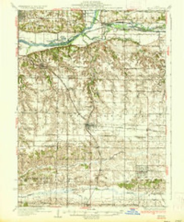
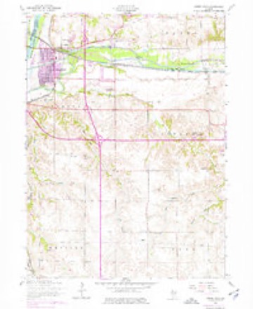
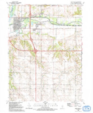
12 topographic sheets cover this place, the earliest surveyed in 1937 and the latest in 1992. It stands in Colona Township. It lies in ZIP code area 61240. It stands on Turner Creek. The Survey maps it on the Green Rock quadrangle.
Topographic sheets covering this place
8 surveys from 12 printed sheetsMatched by testing this settlement's coordinate against the published boundary of every sheet in the United States Geological Survey's historical collection. Each opens the scanned sheet at the Survey.
- 1937 USGS Orion quadrangle1:62500, 2 printings
- 1953 USGS Green Rock quadrangle1:24000, 3 printings
- 1958 USGS Davenport quadrangle1:250000, 2 printings
- 1961 USGS Davenport quadrangle1:250000
- 1962 USGS Davenport quadrangle1:250000
- 1984 USGS Aledo quadrangle1:100000
- 1989 USGS Aledo quadrangle1:100000
- 1992 USGS Green Rock quadrangle1:24000





In the county-history sources
4,324 words on this townshipHistory of Henry County, Illinois : It's Taxpayers and Voters; Containing Also, a Biographical Directory, a Condensed History of the State; Map of the County; a Business Directory...etc, published 1877 names this settlement in its chapter on Colona Township. These are the passages that mention it, exactly as the scans read.
COLVIN LUTHER K. Farmer, Sec. 28; 'P.O. Briar Bluff; born in Kentucky in 1821; came to Henry Co. in 1856; Rep; owns 80 acres land, value $3,200; was Justice of the Peace eight years, Assessor three years, Highway Commissioner twelve years; married Miss Amanda J. Sharp, of Adams Co., 111., in 1849; five children, three boys and two girls.
Passage source: History of Henry County, Illinois : It's Taxpayers and Voters; Containing Also, a Biographical Directory, a Condensed History of the State; Map of the County; a Business Directory...etc, published 1877.
GIBBONS JOHN, Farmer, Sec. 14, P.O. Briar Bluff; born in Ireland in 1826; came to Henry Co. 1857; Dem; Cath; owns 77 acres land val. $3,500; was School Director five years; married Bridget McDermott, of Ireland first wife, and Johanna Magher, of Ireland, for second wife; six children.
Passage source: History of Henry County, Illinois : It's Taxpayers and Voters; Containing Also, a Biographical Directory, a Condensed History of the State; Map of the County; a Business Directory...etc, published 1877.
GLENN JOHN, Farmer and Stock Raiser, Sec. 20; P.O. Briar Bluff; born in Henry Co., III., 1841; Rep; owns 217 acres land, value $9,000; was School Director three years; School Trustee four years; was Sergeant in the i4Oth I. V. I., Co. G.; honorably discharged; married Miss Susan Reynolds, of Illinois, in 1865; two children, Record Reynolds, and Nellie Viola.
Passage source: History of Henry County, Illinois : It's Taxpayers and Voters; Containing Also, a Biographical Directory, a Condensed History of the State; Map of the County; a Business Directory...etc, published 1877.
Machine-read from a century-old scan, so expect the errors a machine makes: misspelled names, dropped words, stray characters.
Read the whole chapter on Colona Township - it names this place 12 more 12 times.
Mines and quarries near this place
3 within 5 milesRegional context, not property-specific evidence. The federal mineral resources record lists 3 workings within 5 miles of Briar Bluff: 2 producers, 1 past producer. 2 still produce. What was taken out: Sand and Gravel, Construction, Stone, Crushed/Broken. Distance is straight-line from the map coordinates, so a quarry counted here may appear on a neighbouring settlement's page as well.
| Where | Site | Commodity | Status | Recorded |
|---|---|---|---|---|
| Cleveland Quarry Plant #31 | Stone, Crushed/Broken | Producer | ||
| Mc Dowell Sand & Excavating | Sand and Gravel, Construction | Producer | ||
| Oberlander Pit | Sand and Gravel, Construction | Past Producer |
Nearest settlements
The eight closest, with where each one stands in the county. Distances are straight-line, computed from the Geographic Names Information System coordinates.
| Map | Place | Distance | Sheets |
|---|---|---|---|
| Green Rock | 1.0 miles | 12 | |
| Colona | 1.8 miles | 12 | |
| Level Acres | 2.3 miles | 12 | |
| Green River | 2.6 miles | 12 | |
| Dayton | 3.0 miles | 12 | |
| Timber Ridge | 3.4 miles | 14 | |
| Warner | 3.5 miles | 14 | |
| Cleveland | 4.1 miles | 23 |
Provenance
This settlement is recorded in the Geographic Names Information System as feature 422499. The sheet list is computed by point-in-boundary test against the United States Geological Survey's historical topographic inventory. Both are works of the United States government and carry no copyright under 17 U.S.C. 105.
Mines and quarries. USGS Mineral Resources Data System (MRDS) https://mrdata.usgs.gov/mrds/ A work of the United States government, no copyright under 17 U.S.C. 105.