 Block
Warner, Illinois
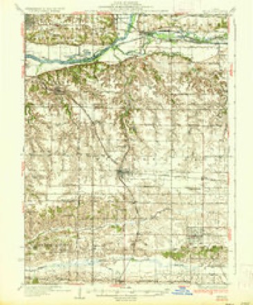
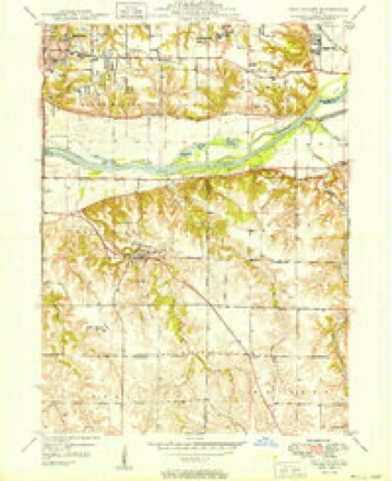
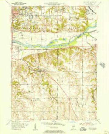
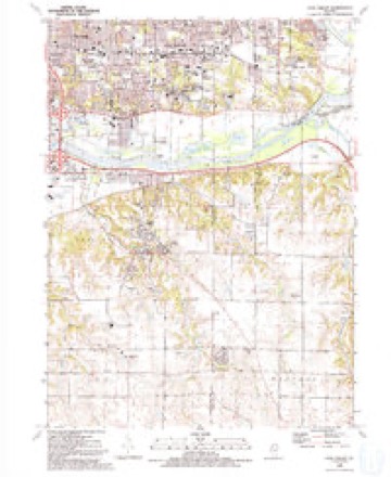
14 topographic sheets cover this place, the earliest surveyed in 1937 and the latest in 1991. It stands in Western Township. It lies in ZIP code area 61273. The Survey maps it on the Coal Valley quadrangle.
Topographic sheets covering this place
9 surveys from 14 printed sheetsMatched by testing this settlement's coordinate against the published boundary of every sheet in the United States Geological Survey's historical collection. Each opens the scanned sheet at the Survey.
- 1937 USGS Orion quadrangle1:62500, 2 printings
- 1949 USGS Coal Valley quadrangle1:24000, 2 printings
- 1953 USGS Coal Valley quadrangle1:24000, 3 printings
- 1958 USGS Davenport quadrangle1:250000, 2 printings
- 1961 USGS Davenport quadrangle1:250000
- 1962 USGS Davenport quadrangle1:250000
- 1984 USGS Aledo quadrangle1:100000
- 1989 USGS Aledo quadrangle1:100000
- 1991 USGS Coal Valley quadrangle1:24000





In the county-history sources
9,011 words on this townshipThe county-history sources names this settlement in its chapter on Western Township. These are the passages that mention it, exactly as the scans read.
Machine-read from a century-old scan, so expect the errors a machine makes: misspelled names, dropped words, stray characters.
Read the whole chapter on Western Township - it names this place 2 more 2 times.
Storms near this place
8 since 2009Regional context, not property-specific evidence. The National Weather Service names Warner in 8 storm reports between 2009 and 2026: 4 hail, 3 thunderstorm wind, 1 flood. No death or injury is recorded in these reports. Each account below is quoted exactly as the forecast office filed it, from the NOAA Storm Events Database, and each date opens the federal record of that event.
| When | Event | Place named | Harm | What the report says |
|---|---|---|---|---|
| June 2009 | Hail | Warner | $5,000 | Golf ball-sized hail fell for about 5 minutes approximately 1 mile north of Warner, IL around 1250 pm June 18. It covered the ground and damaged the aluminum siding of a house. |
| May 2024 | Thunderstorm Wind | Warner | - | A 6 inch diameter tree was blown down. |
| November 2022 | Thunderstorm Wind | Warner | - | Law Enforcement reported a tree down on route 6 in northeast of Coal Valley. The time of the event was estimated using radar. |
| August 2020 | Thunderstorm Wind | Warner | - | Widespread straight-line winds that produced extensive damage were reported throughout Henry County, associated with a derecho. These winds lasted around an hour in total, even though the initial line of storms moved out fast. Damaging straight-line winds continued and were associated with the rear inflow jet. Maximum wind speeds were reported up to 80 mph These estimates were determined based off damage surveys and photos submitted through social media. These strong winds damaged many trees, crops, and a few structures in their path. |
| April 2026 | Hail | Warner | - | no account filed |
| June 2022 | Hail | Warner | - | no account filed |
| June 2017 | Hail | Warner | - | no account filed |
| April 2013 | Flood | Warner | - | no account filed |
Nearest settlements
The eight closest, with where each one stands in the county. Distances are straight-line, computed from the Geographic Names Information System coordinates.
| Map | Place | Distance | Sheets |
|---|---|---|---|
| Sunny Hill | 2.3 miles | 14 | |
| Brook Lawn | 2.7 miles | 14 | |
| Sunny Hill Estates | 3.0 miles | 14 | |
| Briar Bluff | 3.5 miles | 12 | |
| Orion | 3.8 miles | 12 | |
| Timber Ridge | 3.9 miles | 14 | |
| Morristown | 4.2 miles | 12 | |
| Green Rock | 4.4 miles | 12 |
Provenance
This settlement is recorded in the Geographic Names Information System as feature 423287. The sheet list is computed by point-in-boundary test against the United States Geological Survey's historical topographic inventory. Both are works of the United States government and carry no copyright under 17 U.S.C. 105.
Storms. NOAA National Centers for Environmental Information, Storm Events Database https://www.ncei.noaa.gov/stormevents/ A work of the United States government, no copyright under 17 U.S.C. 105. Narratives are quoted verbatim from the National Weather Service report and are not edited or summarised.