 Block
Collison, Illinois
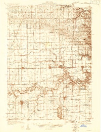
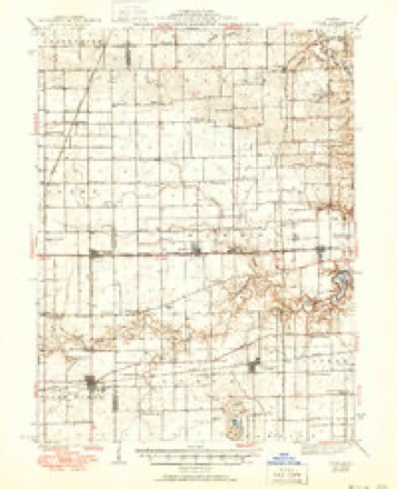
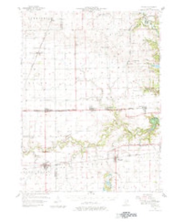
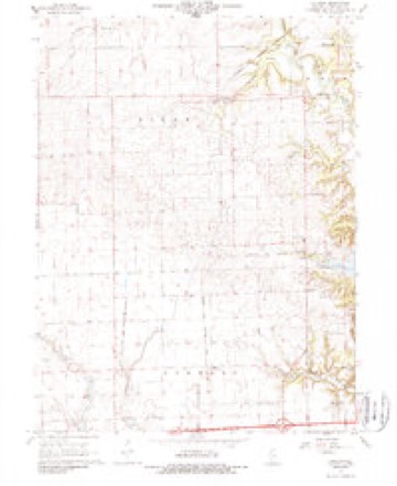
15 topographic sheets cover this place, the earliest surveyed in 1931 and the latest in 1987. It stands in Pilot Township. It lies in ZIP code area 61831. The Survey maps it on the Collison quadrangle. It stands 692 feet above sea level.
Topographic sheets covering this place
9 surveys from 15 printed sheetsMatched by testing this settlement's coordinate against the published boundary of every sheet in the United States Geological Survey's historical collection. Each opens the scanned sheet at the Survey.
- 1931 USGS Fithian quadrangle1:48000
- 1943 USGS Fithian quadrangle1:62500, 2 printings
- 1953 USGS Danville quadrangle1:250000, 3 printings
- 1955 USGS Danville quadrangle1:250000
- 1956 USGS Danville quadrangle1:250000
- 1957 USGS Fithian quadrangle1:62500, 3 printings
- 1968 USGS Collison quadrangle1:24000, 2 printings
- 1984 USGS Danville quadrangle1:100000
- 1987 USGS Danville quadrangle1:100000





In the county-history sources
10,726 words on this townshipHistory of Vermilion County, Together with Historic Notes on the Northwest, Gleaned from Early Authors, Old Maps and Manuscripts, Private and Official Correspondence, and Other Authentic, Though, for the Most Part, Out-of-the-way Sources, published 1879 names this settlement in its chapter on Pilot Township. These are the passages that mention it, exactly as the scans read.
In 1828 Absalom Collison came to the settlement on the Middle Fork. He stopped with the Jnvinalls for a while. They were all from Ohio, and Mr. Collison was a single man at the time, and needed a home. He did not content himself with that kind of a home long - he concluded to have one of his own. He paid his respects to Mary Chenoweth, who accepted his offer for better or worse, and they were married in 1829. This, we presume, was the first marriage in that neighborhood. Miss Chenoweth had come to the neighborhood in the same year with her father's family. They went to the farm that they occupied so long, immediately. Here they remained and brought up their family, and here Mr. Collison died in 1853. The widow still survives at an advanced age, living on the same farm that she began her married life upon " full fifty years ago."
Passage source: History of Vermilion County, Together with Historic Notes on the Northwest, Gleaned from Early Authors, Old Maps and Manuscripts, Private and Official Correspondence, and Other Authentic, Though, for the Most Part, Out-of-the-way Sources, published 1879.
We have yet to notice the Methodists in this township. They are among the strongest here, and their origin in this country dates hack to the earliest pioneer days of the white settlements in this part of the country. The Morrison's and Juvinalls were Methodists. Their early settlement here has already been noticed. Meeting was regularly held at the residence of Mr. Morrison till he went away to Wisconsin. This was for some years after the first settlements. The earliest minister recollected is the Rev. McKain, who was here in the earliest times. Meetings were sometimes held at the residence of the Juvinalls. After the school-houses began to be built, meeting was held in them. The Pilot chapel organization met in the Collison school-house till the building of the church. Pilot chapel was built in the early part of the year and dedicated in June, 1871. The Rev. David Brewer was the pastor at the time of building. This is a well-built, attractive country church, and has a flourishing society with a good membership. The preacher in charge, at present, is the Rev. Eli Helmick. His career has already been dwelt upon at length in these pages, and will simplj' mention here that he is one of the old wheel-horses of Methodism in this country. He came in here as early as 1830. He traveled all over this country, at that time and subsequently, and preached in almost every settlement in early times. In 1830 he traveled with " Old Freeman Smalley," whom the old settlers will recollect as one of the most remarkable pioneers of early times. The author of these lines met the old man, in late years, on the frontier, where, at an extreme old age, he still made his way to the school-houses wherever Baptist congregations gathered to worship. But he is gone ! His comrade lingers on the shores of time, but will soon join the innumerable hosts of pioneers, where nearly all the old settlers have already gone.
Passage source: History of Vermilion County, Together with Historic Notes on the Northwest, Gleaned from Early Authors, Old Maps and Manuscripts, Private and Official Correspondence, and Other Authentic, Though, for the Most Part, Out-of-the-way Sources, published 1879.
Eli Helmick, who continued in the office a number of years. As before remarked, the people of Pilot are not given to a great deal of changing of officers. Mr. J. E. Vinson was justice of the peace for twenty years, and the present supervisor, Mr. Keeslar, is serving his ninth term. At the election held on the 1st of April, 1879, the following officers were chosen : Charles W. Keeslar, supervisor ; L. Tillotson, town clerk ; J. C. Tevebaugh, assessor ; T. C. Smoot, collector ; John Z. Selsor, commissioner of highways ; J. A. Knight, constable, and F. A. Collison, pound-master. The latter i-esigned and C. O. Ball was appointed to fill the vacancy.
Passage source: History of Vermilion County, Together with Historic Notes on the Northwest, Gleaned from Early Authors, Old Maps and Manuscripts, Private and Official Correspondence, and Other Authentic, Though, for the Most Part, Out-of-the-way Sources, published 1879.
Machine-read from a century-old scan, so expect the errors a machine makes: misspelled names, dropped words, stray characters.
Read the whole chapter on Pilot Township - it names this place 1 more 1 time.
Fires near this place
1 since 2010Regional context, not property-specific evidence. The federal wildfire occurrence database lists 1 fire within 5 miles of Collison in 2010, burning about 2 acres in total. None started naturally. None was recorded as arson. Distance is straight-line from the map coordinates, so a fire counted here may appear on a neighbouring settlement's page as well.
| Reported cause | Fires |
|---|---|
| Missing data/not specified/undetermined | 1 |
The most recent of them, most recent first, with the day each was reported and the service that recorded it.
| Date | Cause | Size | Reported by | Name on the report |
|---|---|---|---|---|
| 28 August 2010 | Missing data/not specified/undetermined | 2.0 acres | Illinois Division of Forestry Resources | 2750 |
Settlements close enough to share some of these fires:
Mines and quarries near this place
1 within 5 milesRegional context, not property-specific evidence. The federal mineral resources record lists 1 working within 5 miles of Collison: 1 past producer. None of them still produces. What was taken out: Sand and Gravel, Construction. Distance is straight-line from the map coordinates, so a quarry counted here may appear on a neighbouring settlement's page as well.
| Where | Site | Commodity | Status | Recorded |
|---|---|---|---|---|
| Potomac Gravel Pit | Sand and Gravel, Construction | Past Producer |
Storms near this place
4 since 1998Regional context, not property-specific evidence. The National Weather Service names Collison in 4 storm reports between 1998 and 2018: 2 flash flood, 1 tornado, 1 hail. No death or injury is recorded in these reports. Each account below is quoted exactly as the forecast office filed it, from the NOAA Storm Events Database, and each date opens the federal record of that event.
| When | Event | Place named | Harm | What the report says |
|---|---|---|---|---|
| December 1998 | Tornado (F0) | Collison | $300,000 | A tornado touched down on the west side of Collison. It caused moderate to major damage to a dozen homes and destroyed a post office and two mobile homes. Dozens of trees were blown over and numerous projectiles...ranging from small tree branches to 2 inch by 8 inch boards...were either driven into the ground or into structures. No injuries or deaths were reported. Damage was estimated around $300,000. |
| July 2018 | Flash Flood | Collison | - | Rainfall amounts of 2.50 to 4.00 inches of rain in a two period during the late morning of July 5th resulted in flash flooding in the central part of Vermilion County, including the city of Danville. There were numerous reports of rural roads and streets that were impassable for a short period of time. Several cars either stalled in the flood waters or were partially submerged. The flooding subsided by mid-afternoon. |
| May 2015 | Flash Flood | Collison | - | Slow moving thunderstorms produced heavy rainfall amounts of 2.00 to 3.00 inches in less than two hours during the late afternoon hours across northern and central Vermilion County. Many county roads north of Danville became impassable due to high water. Two cars became submerged on East 2550 North Road just west of IL Route 1, a few miles southwest of Bismarck. Locations in and near Kickapoo State Park were also inundated due to rapidly rising water and flooded roads. The Vermilion River west of Danville also came out of its banks quickly, resulting in the evacuation of a subdivision. No injuries were reported. |
| April 2017 | Hail | Collison | - | no account filed |
Nearest settlements
The eight closest, with where each one stands in the county. Distances are straight-line, computed from the Geographic Names Information System coordinates.
Elsewhere
Matched on this settlement's Geographic Names Information System number rather than its name, so it cannot be a different place of the same name in another state.
| Wikipedia article on Collison | An encyclopaedic summary. Its text is share-alike, so it is linked here rather than copied. |
| Wikidata item Q5147513 | The structured record the population and elevation above come from. Public domain (CC0). |
Provenance
This settlement is recorded in the Geographic Names Information System as feature 406387. The sheet list is computed by point-in-boundary test against the United States Geological Survey's historical topographic inventory. Both are works of the United States government and carry no copyright under 17 U.S.C. 105.
Wildfire. Short, Karen C. 2022. Spatial wildfire occurrence data for the United States, 1992-2020 [FPA_FOD_20221014]. 6th Edition. Fort Collins, CO: Forest Service Research Data Archive. https://doi.org/10.2737/RDS-2013-0009.6 Collected with United States Government funding and usable without additional permissions or fees.
Mines and quarries. USGS Mineral Resources Data System (MRDS) https://mrdata.usgs.gov/mrds/ A work of the United States government, no copyright under 17 U.S.C. 105.
Storms. NOAA National Centers for Environmental Information, Storm Events Database https://www.ncei.noaa.gov/stormevents/ A work of the United States government, no copyright under 17 U.S.C. 105. Narratives are quoted verbatim from the National Weather Service report and are not edited or summarised.