 Block
Council Hill, Illinois
16 topographic sheets cover this place, the earliest surveyed in 1911 and the latest in 1984. It stands in Council Hill Township. It lies in ZIP code area 61075. The Survey maps it on the Scales Mound West quadrangle.
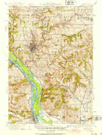
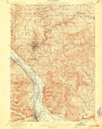
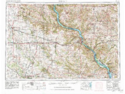
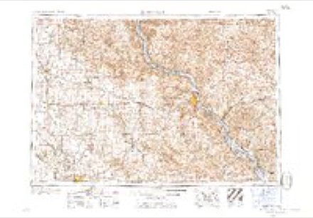
Topographic sheets covering this place
8 surveys from 16 printed sheetsMatched by testing this settlement's coordinate against the published boundary of every sheet in the United States Geological Survey's historical collection. Each opens the scanned sheet at the Survey.
- 1911 USGS Galena quadrangle1:62500, 3 printings
- 1913 USGS Galena quadrangle1:62500, 3 printings
- 1959 USGS Dubuque quadrangle1:250000
- 1961 USGS Dubuque quadrangle1:250000
- 1962 USGS Dubuque quadrangle1:250000, 2 printings
- 1968 USGS Scales Mound West quadrangle1:24000
- 1976 USGS Dubuque quadrangle1:250000
- 1984 USGS Dubuque South quadrangle1:100000, 4 printings
In the county-history sources
3,129 words on this townshipThe History of Jo Daviess County, Illinois, Containing a History of the County, Its Cities, Towns, Etc., a Biographical Directory of Its Citizens, War Record of Its Volunteers in the Late Rebellion ... History of the Northwest, History of Illinois ... Constitution of the United States, published 1878 names this settlement in its chapter on Council Hill Township. These are the passages that mention it, exactly as the scans read.
Patrick Hogan, who had been engaged in mercantile business at St. Louis, came to the lead mines in 1825, and laid out a claim near Council Hill Diggings, which had then been known for many years to the Indians and a few white miners. In 1826, Ezekiel Lockwood built there a furnace - the first one in the township. Mr. Lockwood afterwards (1828) engaged in business at Galena with his brother, J. H., going from there to Dubuque.
Passage source: The History of Jo Daviess County, Illinois, Containing a History of the County, Its Cities, Towns, Etc., a Biographical Directory of Its Citizens, War Record of Its Volunteers in the Late Rebellion ... History of the Northwest, History of Illinois ... Constitution of the United States, published 1878.
Being near Galena, Council Hill had very few permanent settlers until 1835. It is inferred from a review of the Miners' Journal of i828-*9, that the miners went there for mining purposes but still considered Galena as their headquarters. Among these earlier inhabitants were Jonathan Hilliard, William
Passage source: The History of Jo Daviess County, Illinois, Containing a History of the County, Its Cities, Towns, Etc., a Biographical Directory of Its Citizens, War Record of Its Volunteers in the Late Rebellion ... History of the Northwest, History of Illinois ... Constitution of the United States, published 1878.
Before the Black Hawk War Mr. Bowles had built a cabin at Horse Shoe Bend (on the Galena River), just below the present Millbrig Mill. At the same time he erected a saw mill on the Small Pox River, on land that is now included in Rice Township. In 1832, but three cabins stood on the site of Council Hill Village. Mr* Hilliard and Mr. Hughes first established saloons where Council Hill now stands, soon after the Black Hawk War. At this time saloons seem to have been very profitable investments. Mr. Barrows added one to the number, and in 1838, Mr. Brenton and Richard Arthur opened saloons, in connection with which some other goods were sold, but no regular store was operated until 1849, when Simon Alderson established a store, which was purchased in 1856 and is still continued at the same place by William Harvey. For some years after purchasing it, Mr. Harvey had a partner - Wm. Birkbeck. In 1837, Richard Arthur came with D. Harris, but they did not locate there for some time after. In the meantime (1838) George Redfern arrived. He still remains at Council Hill - the earliest, living permanent settler.
Passage source: The History of Jo Daviess County, Illinois, Containing a History of the County, Its Cities, Towns, Etc., a Biographical Directory of Its Citizens, War Record of Its Volunteers in the Late Rebellion ... History of the Northwest, History of Illinois ... Constitution of the United States, published 1878.
Machine-read from a century-old scan, so expect the errors a machine makes: misspelled names, dropped words, stray characters.
Read the whole chapter on Council Hill Township - it names this place 19 more 19 times.
Fires near this place
3 since 2010Regional context, not property-specific evidence. The federal wildfire occurrence database lists 3 fires within 5 miles of Council Hill between 2010 and 2018, burning about 6 acres in total. None started naturally. None was recorded as arson. Distance is straight-line from the map coordinates, so a fire counted here may appear on a neighbouring settlement's page as well.
| Reported cause | Fires |
|---|---|
| Missing data/not specified/undetermined | 3 |
The most recent of them, most recent first, with the day each was reported and the service that recorded it.
| Date | Cause | Size | Reported by | Name on the report |
|---|---|---|---|---|
| 24 April 2018 | Missing data/not specified/undetermined | 5.0 acres | Wisconsin Department of Natural Resources | 2018006 |
| 18 April 2010 | Missing data/not specified/undetermined | 1.0 acres | Illinois Division of Forestry Resources | JONES |
| 15 March 2018 | Missing data/not specified/undetermined | under an acre | Wisconsin Department of Natural Resources | 201804 |
Settlements close enough to share some of these fires:
Mines and quarries near this place
10 of 264 shownRegional context, not property-specific evidence. The federal mineral resources record lists 264 workings within 5 miles of Council Hill: 179 past producers, 56 unknowns, 15 occurrences, 13 prospects. 1 still produces. What was taken out: Lead, Zinc, Lead, Zinc, Zinc, Lead. Distance is straight-line from the map coordinates, so a quarry counted here may appear on a neighbouring settlement's page as well.
| Where | Site | Commodity | Status | Recorded |
|---|---|---|---|---|
| Bell Prospect | Zinc, Iron, Lead | Occurrence | ||
| Southcott Prospect | Iron, Lead, Zinc | Prospect | ||
| Birbeck Prospect | Iron, Zinc | Prospect | ||
| Birkbeck Mine | Iron, Zinc | Past Producer | ||
| Buck Hill Mine | Iron, Zinc | Past Producer | ||
| Ehrler Quarry | Stone, Crushed/Broken | Past Producer | ||
| Eustice Quarry | Stone, Crushed/Broken | Producer | ||
| Limestone Prospect | Stone, Crushed/Broken | Occurrence | ||
| Limestone Prospect | Stone, Crushed/Broken | Occurrence | ||
| Limestone Prospect | Stone, Crushed/Broken | Occurrence |
Storms near this place
1 since 2009Regional context, not property-specific evidence. The National Weather Service names Council Hill in 1 storm report in 2009: 1 flash flood. No death or injury is recorded in these reports. Each account below is quoted exactly as the forecast office filed it, from the NOAA Storm Events Database, and each date opens the federal record of that event.
| When | Event | Place named | Harm | What the report says |
|---|---|---|---|---|
| August 2009 | Flash Flood | Council Hill | - | Heavy rains resulted in flash flooding of some roads in the vicinity of Guilford, IL during the late evening of August 9. |
Nearest settlements
The eight closest, with where each one stands in the county. Distances are straight-line, computed from the Geographic Names Information System coordinates.
| Map | Place | Distance | Sheets |
|---|---|---|---|
| Council Hill Station | 1.6 miles | 16 | |
| Millbrig (historical) | 2.8 miles | 19 | |
| Scales Mound | 5.4 miles | 16 | |
| Guilford | 5.7 miles | 16 | |
| Galena | 6.4 miles | 19 | |
| Bremen | 6.9 miles | 19 | |
| Gears Ferry | 9.1 miles | 19 | |
| Portage | 9.1 miles | 19 |
Provenance
This settlement is recorded in the Geographic Names Information System as feature 422584. The sheet list is computed by point-in-boundary test against the United States Geological Survey's historical topographic inventory. Both are works of the United States government and carry no copyright under 17 U.S.C. 105.
Wildfire. Short, Karen C. 2022. Spatial wildfire occurrence data for the United States, 1992-2020 [FPA_FOD_20221014]. 6th Edition. Fort Collins, CO: Forest Service Research Data Archive. https://doi.org/10.2737/RDS-2013-0009.6 Collected with United States Government funding and usable without additional permissions or fees.
Mines and quarries. USGS Mineral Resources Data System (MRDS) https://mrdata.usgs.gov/mrds/ A work of the United States government, no copyright under 17 U.S.C. 105.
Storms. NOAA National Centers for Environmental Information, Storm Events Database https://www.ncei.noaa.gov/stormevents/ A work of the United States government, no copyright under 17 U.S.C. 105. Narratives are quoted verbatim from the National Weather Service report and are not edited or summarised.