 Block
Council Hill Station, Illinois
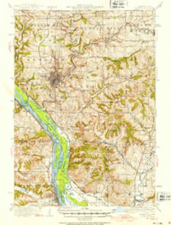
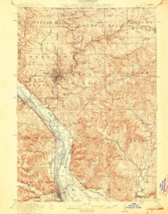
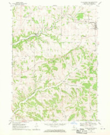
16 topographic sheets cover this place, the earliest surveyed in 1911 and the latest in 1984. It stands in Council Hill Township. It lies in ZIP code area 61075. The Survey maps it on the Scales Mound West quadrangle.
Topographic sheets covering this place
8 surveys from 16 printed sheetsMatched by testing this settlement's coordinate against the published boundary of every sheet in the United States Geological Survey's historical collection. Each opens the scanned sheet at the Survey.
- 1911 USGS Galena quadrangle1:62500, 3 printings
- 1913 USGS Galena quadrangle1:62500, 3 printings
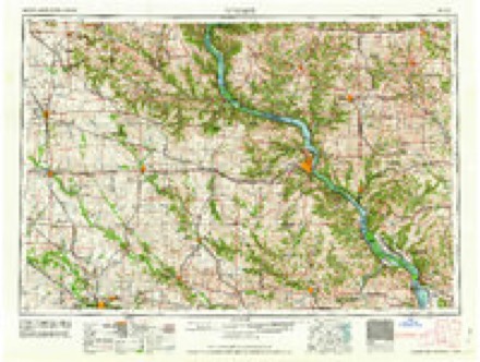
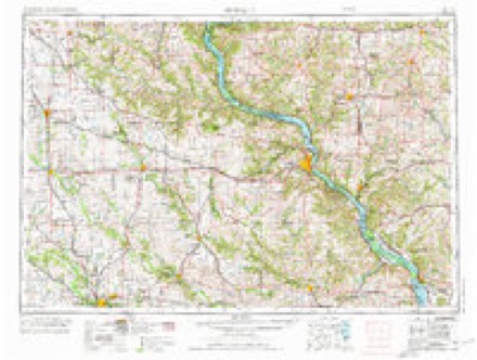
- 1959 USGS Dubuque quadrangle1:250000
- 1961 USGS Dubuque quadrangle1:250000
- 1962 USGS Dubuque quadrangle1:250000, 2 printings
- 1968 USGS Scales Mound West quadrangle1:24000
- 1976 USGS Dubuque quadrangle1:250000
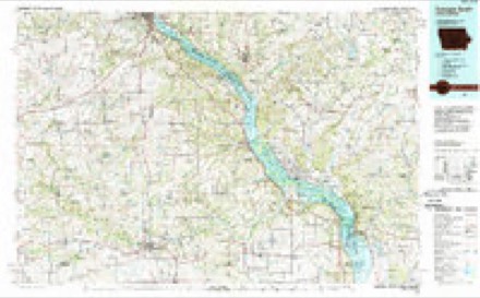
- 1984 USGS Dubuque South quadrangle1:100000, 4 printings
In the county-history sources
3,129 words on this townshipThe History of Jo Daviess County, Illinois, Containing a History of the County, Its Cities, Towns, Etc., a Biographical Directory of Its Citizens, War Record of Its Volunteers in the Late Rebellion ... History of the Northwest, History of Illinois ... Constitution of the United States, published 1878 names this settlement in its chapter on Council Hill Township. These are the passages that mention it, exactly as the scans read.
John Beatty, whose wife still lives at Council Hill Station, was one of the early settlers, not yet mentioned. In 1832, under his supervision, lead was smelted in a " blast furnace" for about the first time in America. Log and ash furnaces had been used prior to this time, but only fifty per cent of lead was extracted from the ore with them, while the ore, when smelted in a blast furnace, yielded seventy to eighty per cent. In 1833, a company was organized, with " Uncle John " Beatty, as he was called, at the head, who started four blast furnaces, as follows : One on East Fork, in Council Hill Township ; one near Platteville, Wis. ; one at Mineral Point, Wis. ; and one at Catfish, near Dubuque, Iowa. The company, which afterwards divided into four associations, consisted of John Beatty, Major Legate, Daniel Wann, Robt. Shaw, Robt. Waller, Richard Waller, Richard Bonson, Robt. Bonson, Major J. H. Rountree, George Snowden, Henry Snowden and Snowden.
Passage source: The History of Jo Daviess County, Illinois, Containing a History of the County, Its Cities, Towns, Etc., a Biographical Directory of Its Citizens, War Record of Its Volunteers in the Late Rebellion ... History of the Northwest, History of Illinois ... Constitution of the United States, published 1878.
When the Illinois Central Railroad was built through the township, in 1854, a station was established one and one half miles south of Council Hill Village, which has received the name of Council Hill Station. There is much confusion caused by the similarity of the names of the two villages.
Passage source: The History of Jo Daviess County, Illinois, Containing a History of the County, Its Cities, Towns, Etc., a Biographical Directory of Its Citizens, War Record of Its Volunteers in the Late Rebellion ... History of the Northwest, History of Illinois ... Constitution of the United States, published 1878.
PASSMORE WM., Blacksmith and Carriage Maker; Council Hill; born in Devonshire, Eng., Nov. 5, 1822 ; came to this Co. in 1846 ; owns 7% acres of land ; married Elizabeth Hughes in 1849; she was born in Wales ; she died same year ; was married again in 1850 to Sarah Hughes ; they have eeven children living : Mary A., Catherine, George F., Lizzie Ella, William Y., and Sarah O. ; lost three - died when young; he was Supervisor 11 years, Town Clerk for a number of years; is Coroner of the Co., and Postmaster at Council Hill Station, a position held by him for the last 15 years ; was Justice of the Peace 16 years.
Passage source: The History of Jo Daviess County, Illinois, Containing a History of the County, Its Cities, Towns, Etc., a Biographical Directory of Its Citizens, War Record of Its Volunteers in the Late Rebellion ... History of the Northwest, History of Illinois ... Constitution of the United States, published 1878.
Machine-read from a century-old scan, so expect the errors a machine makes: misspelled names, dropped words, stray characters.
Read the whole chapter on Council Hill Township - it names this place 1 more 1 time.
Fires near this place
3 since 2010Regional context, not property-specific evidence. The federal wildfire occurrence database lists 3 fires within 5 miles of Council Hill Station in 2010, burning about 3 acres in total. None started naturally. None was recorded as arson. Distance is straight-line from the map coordinates, so a fire counted here may appear on a neighbouring settlement's page as well.
| Reported cause | Fires |
|---|---|
| Missing data/not specified/undetermined | 3 |
The most recent of them, most recent first, with the day each was reported and the service that recorded it.
| Date | Cause | Size | Reported by | Name on the report |
|---|---|---|---|---|
| 19 April 2010 | Missing data/not specified/undetermined | under an acre | Illinois Division of Forestry Resources | SCHAMPER |
| 18 April 2010 | Missing data/not specified/undetermined | 1.0 acres | Illinois Division of Forestry Resources | JONES |
| 1 November 2010 | Missing data/not specified/undetermined | 2.0 acres | Illinois Division of Forestry Resources | TERRITORY |
Settlements close enough to share some of these fires:
Mines and quarries near this place
10 of 209 shownRegional context, not property-specific evidence. The federal mineral resources record lists 209 workings within 5 miles of Council Hill Station: 154 past producers, 23 unknowns, 17 occurrences, 13 prospects. 2 still produce. What was taken out: Lead, Zinc, Lead, Zinc, Zinc, Lead. Distance is straight-line from the map coordinates, so a quarry counted here may appear on a neighbouring settlement's page as well.
| Where | Site | Commodity | Status | Recorded |
|---|---|---|---|---|
| Bell Prospect | Zinc, Iron, Lead | Occurrence | ||
| Blewett Mine | Zinc, Iron, Lead | Past Producer | 1917, 1919, 1920 | |
| Southcott Prospect | Iron, Lead, Zinc | Prospect | ||
| Birbeck Prospect | Iron, Zinc | Prospect | ||
| Birkbeck Mine | Iron, Zinc | Past Producer | ||
| Buck Hill Mine | Iron, Zinc | Past Producer | ||
| Bahr Quarry | Stone, Crushed/Broken | Past Producer | ||
| Distler Quarry | Stone, Crushed/Broken | Producer | ||
| Ehrler Quarry | Stone, Crushed/Broken | Past Producer | ||
| Eustice Quarry | Stone, Crushed/Broken | Producer |
Storms near this place
4 since 2009Regional context, not property-specific evidence. The National Weather Service names Council Hill Station in 4 storm reports between 2009 and 2016: 2 hail, 1 flash flood, 1 thunderstorm wind. No death or injury is recorded in these reports. Each account below is quoted exactly as the forecast office filed it, from the NOAA Storm Events Database, and each date opens the federal record of that event.
| When | Event | Place named | Harm | What the report says |
|---|---|---|---|---|
| August 2009 | Flash Flood | Council Hill Station | $100,000 | Heavy rains caused some flash flooding in parts of Jo Daviess County during the afternoon and evening of August 9. Some roads and culverts near Scales Mound, IL were washed out and Small Pox Creek flooded out of its banks forcing the closure of several roads. |
| March 2016 | Hail | Council Hill Station | - | Hail fell for 7 to 8 minutes between 748 and 756 PM and was the size of dimes to nickels. |
| July 2016 | Thunderstorm Wind | Council Hill Station | - | Several trees were down near Council Hill Road and W East Road. The time of the event was estimated by radar. |
| July 2009 | Hail | Council Hill Station | - | Golf ball-sized hail fell in Council Hill, IL around 649 pm July 24. |
Nearest settlements
The eight closest, with where each one stands in the county. Distances are straight-line, computed from the Geographic Names Information System coordinates.
| Map | Place | Distance | Sheets |
|---|---|---|---|
| Council Hill | 1.6 miles | 16 | |
| Millbrig (historical) | 3.6 miles | 19 | |
| Guilford | 4.1 miles | 16 | |
| Scales Mound | 4.5 miles | 16 | |
| Galena | 6.0 miles | 19 | |
| Bremen | 6.2 miles | 19 | |
| Schapville | 8.6 miles | 15 | |
| Galena Junction | 8.6 miles | 18 |
Elsewhere
Matched on this settlement's Geographic Names Information System number rather than its name, so it cannot be a different place of the same name in another state.
| Wikidata item Q122541700 | The structured record the population and elevation above come from. Public domain (CC0). |
Provenance
This settlement is recorded in the Geographic Names Information System as feature 406650. The sheet list is computed by point-in-boundary test against the United States Geological Survey's historical topographic inventory. Both are works of the United States government and carry no copyright under 17 U.S.C. 105.
Wildfire. Short, Karen C. 2022. Spatial wildfire occurrence data for the United States, 1992-2020 [FPA_FOD_20221014]. 6th Edition. Fort Collins, CO: Forest Service Research Data Archive. https://doi.org/10.2737/RDS-2013-0009.6 Collected with United States Government funding and usable without additional permissions or fees.
Mines and quarries. USGS Mineral Resources Data System (MRDS) https://mrdata.usgs.gov/mrds/ A work of the United States government, no copyright under 17 U.S.C. 105.
Storms. NOAA National Centers for Environmental Information, Storm Events Database https://www.ncei.noaa.gov/stormevents/ A work of the United States government, no copyright under 17 U.S.C. 105. Narratives are quoted verbatim from the National Weather Service report and are not edited or summarised.