 Block
Guilford, Illinois
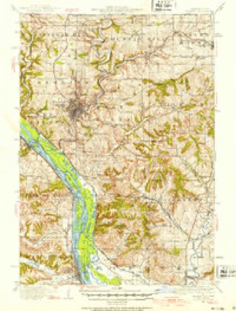
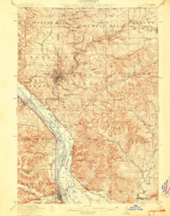
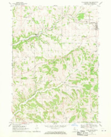
16 topographic sheets cover this place, the earliest surveyed in 1911 and the latest in 1984. It stands in Guilford Township. It lies in ZIP code area 61036. The Survey maps it on the Scales Mound West quadrangle.
Topographic sheets covering this place
8 surveys from 16 printed sheetsMatched by testing this settlement's coordinate against the published boundary of every sheet in the United States Geological Survey's historical collection. Each opens the scanned sheet at the Survey.
- 1911 USGS Galena quadrangle1:62500, 3 printings
- 1913 USGS Galena quadrangle1:62500, 3 printings
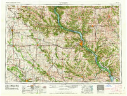
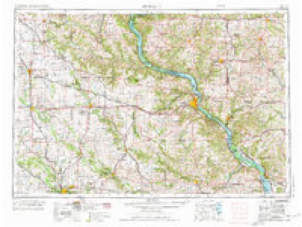
- 1959 USGS Dubuque quadrangle1:250000
- 1961 USGS Dubuque quadrangle1:250000
- 1962 USGS Dubuque quadrangle1:250000, 2 printings
- 1968 USGS Scales Mound West quadrangle1:24000
- 1976 USGS Dubuque quadrangle1:250000
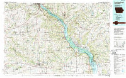
- 1984 USGS Dubuque South quadrangle1:100000, 4 printings
In the county-history sources
11,529 words on this townshipThe History of Jo Daviess County, Illinois, Containing a History of the County, Its Cities, Towns, Etc., a Biographical Directory of Its Citizens, War Record of Its Volunteers in the Late Rebellion ... History of the Northwest, History of Illinois ... Constitution of the United States, published 1878 names this settlement in its chapter on Guilford Township. These are the passages that mention it, exactly as the scans read.
The first post-office, called "Avery," was established on section'33, October 30, 1850, by William Avery, postmaster. The present postmaster is George S. Avery. A post-office was once kept at the house of J. D. Rawlins, called " Guilford," but it is now discontinued.
Passage source: The History of Jo Daviess County, Illinois, Containing a History of the County, Its Cities, Towns, Etc., a Biographical Directory of Its Citizens, War Record of Its Volunteers in the Late Rebellion ... History of the Northwest, History of Illinois ... Constitution of the United States, published 1878.
At the time of township organization, in 1853, the name of the township was given in as " Gilford " ; it is now spelled " Guilford/' Among the first township officers were : John W. Taylor, Supervisor ; John A. Rawlins, Clerk ; Wm. Avery and Samuel W. Hathaway also held offices.
Passage source: The History of Jo Daviess County, Illinois, Containing a History of the County, Its Cities, Towns, Etc., a Biographical Directory of Its Citizens, War Record of Its Volunteers in the Late Rebellion ... History of the Northwest, History of Illinois ... Constitution of the United States, published 1878.
JELLY WM. H. Farmer; Sec. 27; P. O. Galena; born in this township, Nov. 2, 1840; enlisted in the 15th I. V. I., in 1861 ; went with his Regt. to Mo. ; was in the battles of Pea Ridge, Vicksburg, and five or six other general engagements; was with Sherman as far south as Resaca, Georgia ; was sent north from there for muster out, his time (three years) having expired ; owns 80 acres of land ; married Mary Bartell, July 4, 1865 ; she was born in Guilford Tp., Dec. 11, 1843; they attend the M. E. Church ; is a Republican.
Passage source: The History of Jo Daviess County, Illinois, Containing a History of the County, Its Cities, Towns, Etc., a Biographical Directory of Its Citizens, War Record of Its Volunteers in the Late Rebellion ... History of the Northwest, History of Illinois ... Constitution of the United States, published 1878.
Machine-read from a century-old scan, so expect the errors a machine makes: misspelled names, dropped words, stray characters.
Read the whole chapter on Guilford Township - it names this place 5 more 5 times.
Fires near this place
6 since 2010Regional context, not property-specific evidence. The federal wildfire occurrence database lists 6 fires within 5 miles of Guilford in 2010, burning about 5 acres in total. None started naturally. None was recorded as arson. Distance is straight-line from the map coordinates, so a fire counted here may appear on a neighbouring settlement's page as well.
| Reported cause | Fires |
|---|---|
| Missing data/not specified/undetermined | 5 |
| Debris and open burning | 1 |
The most recent of them, most recent first, with the day each was reported and the service that recorded it.
| Date | Cause | Size | Reported by | Name on the report |
|---|---|---|---|---|
| 5 September 2010 | Missing data/not specified/undetermined | under an acre | Illinois Division of Forestry Resources | ZANK |
| 26 September 2010 | Missing data/not specified/undetermined | under an acre | Illinois Division of Forestry Resources | GELENA |
| 19 April 2010 | Missing data/not specified/undetermined | under an acre | Illinois Division of Forestry Resources | SCHAMPER |
| 18 April 2010 | Missing data/not specified/undetermined | 1.0 acres | Illinois Division of Forestry Resources | JONES |
| 22 March 2010 | Debris and open burning | 2.0 acres | Illinois Division of Forestry Resources | TERRITORY |
| 1 November 2010 | Missing data/not specified/undetermined | 2.0 acres | Illinois Division of Forestry Resources | TERRITORY |
Settlements close enough to share some of these fires:
Mines and quarries near this place
10 of 57 shownRegional context, not property-specific evidence. The federal mineral resources record lists 57 workings within 5 miles of Guilford: 45 past producers, 5 occurrences, 3 prospects, 3 producers. 3 still produce. What was taken out: Lead, Stone, Crushed/Broken, Zinc, Zinc, Lead. Distance is straight-line from the map coordinates, so a quarry counted here may appear on a neighbouring settlement's page as well.
| Where | Site | Commodity | Status | Recorded |
|---|---|---|---|---|
| Appleton Mine | Zinc, Lead | Past Producer | ||
| Rockford Mining and Milling Co. Mine | Lead, Zinc | Unknown | 1905, 1915 | |
| Taylor Prospect | Zinc, Lead | Occurrence | ||
| Taylor Prospect | Lead, Zinc | Prospect | ||
| Appleton Mine | Zinc, Lead | Past Producer | 1908, 1909 | |
| Doll Mine | Zinc, Lead | Past Producer | ||
| O Sincox Prospect | Zinc | Occurrence | ||
| O Sincox Prospect | Zinc | Prospect | ||
| Scales Mound Prospect | Zinc | Occurrence | 1863 | |
| Scales Mound Prospect | Zinc | Prospect |
Storms near this place
11 since 2008Regional context, not property-specific evidence. The National Weather Service names Guilford in 11 storm reports between 2008 and 2026: 4 heavy rain, 3 hail, 2 thunderstorm wind, 1 flash flood. No death or injury is recorded in these reports. Each account below is quoted exactly as the forecast office filed it, from the NOAA Storm Events Database, and each date opens the federal record of that event.
| When | Event | Place named | Harm | What the report says |
|---|---|---|---|---|
| July 2009 | Thunderstorm Wind | Guilford | $150,000 | Wind gusts estimated to be 70 mph blew down several trees in the vicinity of the Galena Territory just east of Galena, IL around 650 pm July 24. One tree fell onto a house in the Galena Territory area. |
| April 2026 | Tornado (EF1) | Guilford | - | EF1 tornado with max winds speed of 90-95 mph begun just east of the Galena Territories causing damage to the awning of house. The tornado then caused sporadic tree damage along it's 3.7 mile long path. Of interesting note, the tornado mainly caused damage in the valley areas where stretching of the vortex likely increased wind speeds. |
| April 2026 | Hail | Guilford | - | Reported on Mping. |
| February 2024 | Hail | Guilford | - | Report from Mping. |
| May 2014 | Hail | Guilford | - | Quarter sized hail fell about 6 miles west southwest of Schapville, IL at 539 pm CDT May 20. |
| July 2011 | Heavy Rain | Guilford | - | As of 216 am CDT July 28, the rainfall total 5 miles east of Galena, IL was 9.53 inches. The rainfall intensity had decreased to a light rain at this time. |
| July 2011 | Heavy Rain | Guilford | - | As of 1005 pm CDT July 27, the 4 hour rainfall total about 5 miles south southeast of Council Hill, IL was 5.72 inches and it was still raining. |
| July 2011 | Heavy Rain | Guilford | - | At 827 pm CDT July 27, the 2 hour rainfall total 5 miles south southeast of Council Hill, IL was 3.36 inches and it was still raining. |
| July 2011 | Heavy Rain | Guilford | - | As of 1225 am CDT July 28, the 6 hour rainfall total 5 miles south southeast of Council Hill, IL was 7.50 inches. Heavy rain was still occurring. |
| May 2010 | Flash Flood | Guilford | - | Heavy rains caused flash flooding of several rural roads along the Apple River north and east of Elizabeth, IL and across areas eastward to the county border during the evening of May 26. Flood waters affected E. Hoffman, Goosehollow, Becker, and Apple River Roads. In addition, the intersection of W. Gerbick Road and N. County Divide Road was under water. |
| August 2008 | Thunderstorm Wind | Guilford | - | Wind gusts estimated to be 60 mph blew down some branches and small trees 5 miles east of Galena, IL at 542 pm August 4. |
Nearest settlements
The eight closest, with where each one stands in the county. Distances are straight-line, computed from the Geographic Names Information System coordinates.
| Map | Place | Distance | Sheets |
|---|---|---|---|
| Council Hill Station | 4.1 miles | 16 | |
| Scales Mound | 4.7 miles | 16 | |
| Schapville | 5.2 miles | 15 | |
| Council Hill | 5.7 miles | 16 | |
| Bremen | 6.1 miles | 19 | |
| Rodden | 6.3 miles | 18 | |
| Winston | 6.6 miles | 18 | |
| Galena | 6.8 miles | 19 |
Provenance
This settlement is recorded in the Geographic Names Information System as feature 422766. The sheet list is computed by point-in-boundary test against the United States Geological Survey's historical topographic inventory. Both are works of the United States government and carry no copyright under 17 U.S.C. 105.
Wildfire. Short, Karen C. 2022. Spatial wildfire occurrence data for the United States, 1992-2020 [FPA_FOD_20221014]. 6th Edition. Fort Collins, CO: Forest Service Research Data Archive. https://doi.org/10.2737/RDS-2013-0009.6 Collected with United States Government funding and usable without additional permissions or fees.
Mines and quarries. USGS Mineral Resources Data System (MRDS) https://mrdata.usgs.gov/mrds/ A work of the United States government, no copyright under 17 U.S.C. 105.
Storms. NOAA National Centers for Environmental Information, Storm Events Database https://www.ncei.noaa.gov/stormevents/ A work of the United States government, no copyright under 17 U.S.C. 105. Narratives are quoted verbatim from the National Weather Service report and are not edited or summarised.