 Block
Swan Creek, Illinois
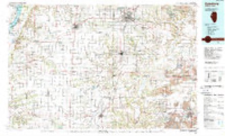
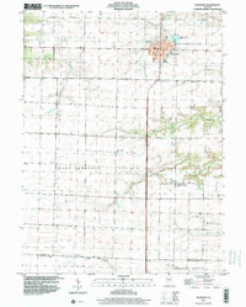
17 topographic sheets cover this place, the earliest surveyed in 1916 and the latest in 1998. It stands in Swan Township. It lies in ZIP code area 61473. The Survey maps it on the Roseville quadrangle. It stands 764 feet above sea level.
Topographic sheets covering this place
10 surveys from 17 printed sheetsMatched by testing this settlement's coordinate against the published boundary of every sheet in the United States Geological Survey's historical collection. Each opens the scanned sheet at the Survey.
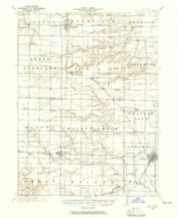
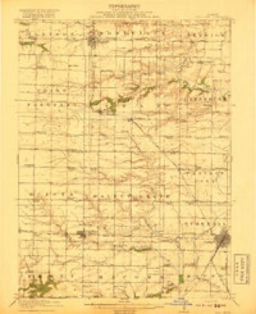
- 1916 USGS Good Hope quadrangle1:62500, 2 printings
- 1918 USGS Good Hope quadrangle1:62500, 2 printings
- 1958 USGS Burlington quadrangle1:250000, 4 printings
- 1961 USGS Burlington quadrangle1:250000
- 1963 USGS Burlington quadrangle1:250000
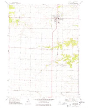
- 1974 USGS Roseville quadrangle1:24000
- 1985 USGS Galesburg quadrangle1:100000, 2 printings
- 1989 USGS Galesburg quadrangle1:100000
- 1990 USGS Burlington quadrangle1:250000, 2 printings
- 1998 USGS Roseville quadrangle1:24000




In the county-history sources
2,450 words on this townshipPortrait and Biographical Album of Warren County, Illinois : Containing Full Page Portraits and Biographical Sketches of Prominent and Representative Citizens of the County, Together with Portraits and Biographies of All the Governors of Illinois, and of the Presidents of the United States ; Also Containing a History of the County, from Its Earliest Settlement Up to the Present Time, published 1886 names this settlement in its chapter on Swan Township. These are the passages that mention it, exactly as the scans read.
On the 27th day of May, 1872, this township was visited with a tornado. It came from the northwest and struck the township about four o'clock in the afternoon, two miles and a half northwest of Youngstown on Swan Creek. Its path was some 80 rods wide, and its line of destruction extended several miles. Its power was terrific and irresistible, demolishing everything within its course ; killing cattle, hogs and poultry, the latter flying through the air like snowflakes. During the passing of this tornado it was almost as dark as night. Young George Vandeveeer was killed; his father had his arm broken, and was otherwise injured; Mrs. Perry died from the effects of her injuries. Mrs. A. J. Cayton had her arm broken, her shoulder put out of joint, and was otherwise so injured that she has never fully recovered. Mr. Cayton, who was out of the house at the time, was taken up and carried about 100 yards, and was dropped down, unconscious, with a badly injured neck.
Swan is watered by the middle and southern branches of Nigger Creek and by Swan Creek, which meanders easterly through it. The nature of the land is rolling, except in an northeasterly portion, which is somewhat broken. It is adorned with many beautiful groves, and adjacent to the streams are some fine bodies of timber. This township is well cultivated and the farms, all with good dwellings and other buildings, are above the average. There are a few farms here that are unsurpassed for their beauty and unexcelled in their productions anywhere.
According to the County Superintendent's report for the year, ending June 3oth, 1885, there were nine school districts, with nine schools. The school property was valued at $2,795; the buildings were all frame. Of persons under 21 years of age, there were 546; of whom 358 were of scholastic age, 275 being enrolled. The highest wages paid teachers was $40., and the lowest $25 per month. The tax levy for the township was $2,141.94.
Machine-read from a century-old scan, so expect the errors a machine makes: misspelled names, dropped words, stray characters.
Read the whole chapter on Swan Township - it names this place 4 more 4 times.
Fires near this place
3 since 2013Regional context, not property-specific evidence. The federal wildfire occurrence database lists 3 fires within 5 miles of Swan Creek between 2013 and 2014, burning about 14 acres in total. None started naturally. None was recorded as arson. Distance is straight-line from the map coordinates, so a fire counted here may appear on a neighbouring settlement's page as well.
| Reported cause | Fires |
|---|---|
| Debris and open burning | 3 |
The most recent of them, most recent first, with the day each was reported and the service that recorded it.
| Date | Cause | Size | Reported by | Name on the report |
|---|---|---|---|---|
| 9 June 2014 | Debris and open burning | 1.0 acres | Illinois Division of Forestry Resources | 201450 |
| 4 April 2013 | Debris and open burning | 7.0 acres | Illinois Division of Forestry Resources | 201326 |
| 31 March 2013 | Debris and open burning | 6.0 acres | Illinois Division of Forestry Resources | 201324 |
Settlements close enough to share some of these fires:
Storms near this place
16 since 1998Regional context, not property-specific evidence. The National Weather Service names Swan Creek in 16 storm reports between 1998 and 2025: 7 hail, 6 thunderstorm wind, 3 tornado. No death or injury is recorded in these reports. Each account below is quoted exactly as the forecast office filed it, from the NOAA Storm Events Database, and each date opens the federal record of that event.
| When | Event | Place named | Harm | What the report says |
|---|---|---|---|---|
| May 2003 | Thunderstorm Wind | Swan Creek | $250,000 | Grain bins down |
| April 1999 | Tornado (F2) | Swan Creek | $3,000 | no account filed |
| December 2017 | Thunderstorm Wind | Swan Creek | $2,000 | The fire department reported a power pole down from thunderstorm winds. |
| April 2025 | Tornado (EF0) | Swan Creek | - | Multiple deputies reported seeing a tornado from near Greenbush looking back southwest. Linking that with the garage damage by Swan Creek would make for a short-lived tornado which lines up with radar. There was no other damage reported by Warren County EMA Director. The tornado was rated EF-0 with peak estimated winds of 70 MPH. |
| June 2023 | Thunderstorm Wind | Swan Creek | - | Farm outbuilding destroyed. Winds estimated near 100 MPH. |
| June 2023 | Thunderstorm Wind | Swan Creek | - | Farm outbuilding destroyed. Winds estimated around 100 mph. |
| May 2022 | Thunderstorm Wind | Swan Creek | - | Severe thunderstorm wind gust estimated at 60 mph. |
| April 2017 | Hail | Swan Creek | - | The time of the event was estimated using radar. |
| June 2015 | Thunderstorm Wind | Swan Creek | - | A member of the public reported measured winds of 61 mph wind in a gust, just east of the US-67 and Illinois 9 intersection near Youngstown. |
| December 2015 | Tornado (EF1) | Swan Creek | - | This tornado began in McDonough County southwest of Sciota Illinois and continued for 2.60 miles in Warren County. The tornado traveled a total for 10.7 miles and was 50 yards wide. This was an EF-1 tornado with estimated peak winds of 100 MPH, that destroyed outbuildings and snapped off a tree. |
| June 2007 | Hail | Swan Creek | - | Dime size hail fell for a couple of minutes. |
| March 2006 | Hail | Swan Creek | - | Penny sized hail |
| April 2006 | Hail | Swan Creek | - | Also estimated 35 knot (40 mph) winds. |
| May 2024 | Hail | Swan Creek | - | no account filed |
| May 2022 | Hail | Swan Creek | - | no account filed |
| April 1998 | Hail | Swan Creek | - | no account filed |
Nearest settlements
The eight closest, with where each one stands in the county. Distances are straight-line, computed from the Geographic Names Information System coordinates.
| Map | Place | Distance | Sheets |
|---|---|---|---|
| Youngstown | 2.0 miles | 17 | |
| Roseville | 4.5 miles | 17 | |
| Greenbush | 7.0 miles | 17 | |
| New Lancaster (historical) | 7.2 miles | 18 | |
| Ellison (historical) | 9.4 miles | 17 | |
| Larchland | 10.5 miles | 18 | |
| Smithshire | 10.9 miles | 17 | |
| Ponemah | 10.9 miles | 18 |
Elsewhere
Matched on this settlement's Geographic Names Information System number rather than its name, so it cannot be a different place of the same name in another state.
| Wikipedia article on Swan Creek | An encyclopaedic summary. Its text is share-alike, so it is linked here rather than copied. |
| Wikidata item Q7653430 | The structured record the population and elevation above come from. Public domain (CC0). |
Provenance
This settlement is recorded in the Geographic Names Information System as feature 419451. The sheet list is computed by point-in-boundary test against the United States Geological Survey's historical topographic inventory. Both are works of the United States government and carry no copyright under 17 U.S.C. 105.
Wildfire. Short, Karen C. 2022. Spatial wildfire occurrence data for the United States, 1992-2020 [FPA_FOD_20221014]. 6th Edition. Fort Collins, CO: Forest Service Research Data Archive. https://doi.org/10.2737/RDS-2013-0009.6 Collected with United States Government funding and usable without additional permissions or fees.
Storms. NOAA National Centers for Environmental Information, Storm Events Database https://www.ncei.noaa.gov/stormevents/ A work of the United States government, no copyright under 17 U.S.C. 105. Narratives are quoted verbatim from the National Weather Service report and are not edited or summarised.