 Block
Fillmore, Illinois
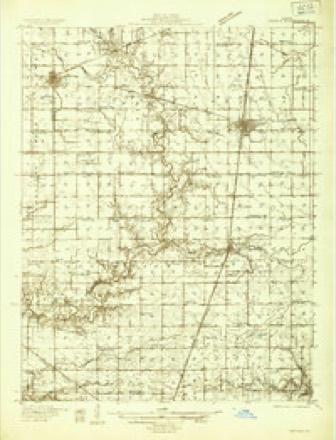
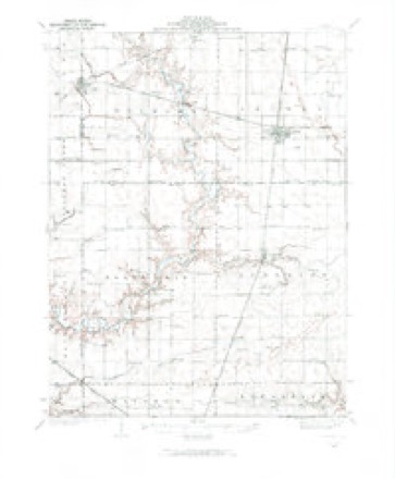
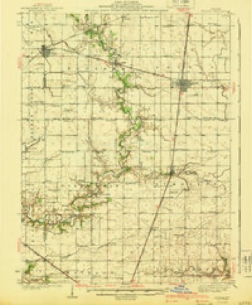
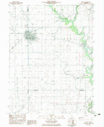
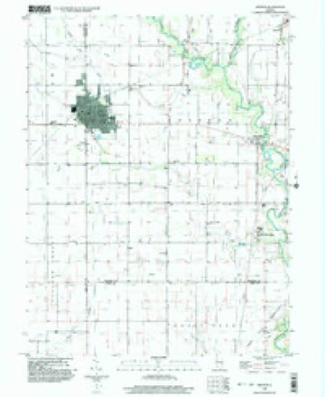
13 topographic sheets cover this place, the earliest surveyed in 1935 and the latest in 1998. It stands in Bourbon Township. It lies in ZIP code area 61911. The Survey maps it on the Arthur quadrangle. It stands 650 feet above sea level. The federal gazetteer marks this settlement historical: it is no longer a populated place, though the surveys that recorded it still are.
Topographic sheets covering this place
8 surveys from 13 printed sheetsMatched by testing this settlement's coordinate against the published boundary of every sheet in the United States Geological Survey's historical collection. Each opens the scanned sheet at the Survey.
- 1935 USGS Arcola quadrangle1:48000
- 1935 USGS Arcola quadrangle1:62500, 2 printings
- 1940 USGS Arcola quadrangle1:62500
- 1958 USGS Decatur quadrangle1:250000, 3 printings
- 1961 USGS Decatur quadrangle1:250000, 2 printings
- 1983 USGS Arthur quadrangle1:24000
- 1985 USGS Decatur quadrangle1:100000, 2 printings
- 1998 USGS Arthur quadrangle1:24000



In the county-history sources
1,730 words on this townshipHistory of Douglas County, Illinois, published 1876 names this settlement in its chapter on Bourbon Township. These are the passages that mention it, exactly as the scans read.
In the sonthwest part settled the Amish of some twenty-five families, who were preceded here by M. Yoter, Miller and others in 1864. They much resemble the society of Friends in plainness of attire, integrity and almost total exemption from pauperism. The name is derived from that of the founder of the society who, in the German States of Europe, saw fit to secede from the Menonites, of whom much has been heard lately, with regard to:the emigration of large numbers of them from Russia to the West. The proposed marriages are publicly announced, and a marriage outside ot the Society is "tolerable and not to be endured." They dress plainly, partly to avoid the frivolities of fashion, and partly that there may be no notable distinction between the rich and the poor. They have no churches or meeting houses but meet at each others dwellings, as the spirit moves them. The clothing of the men is often confined with hooks and eyes, but the notion that thsy wear no buttons is erroneous. The heads of the women are lawavs covered with a neat white cap and over the neck and shoulders
Passage source: History of Douglas County, Illinois, published 1876.
Bourbon has a two-story brick school house, which was built about 1S57, and is therefore, probably, the first brick built in the county. There is also a neat Baptist Church lately erected by the influence and means of citizens yet remaining. The place, however, has about lost the character of a village, there being at present neither a store or post office, the nearest being at Chesterville on 'the I. M.
Passage source: History of Douglas County, Illinois, published 1876.
Railway, which is a small station about one- half mile south of the ancient site of Fillmore. Fillmore had been laid out by H. Russel in 184S, on section 35, 15, 7, and the firm of Bales & Trowbridge, afterwards Bales, Osborn & Co., controlled the trade of a large area; but the business of this house was removed to Areola, and Fillmore is among the things that were. Mr. Bales was Associate Justice of the county in 1861, and Supervisor of the township in 1S72. Bagdad is a point on the Okaw three miles west of Areola.
Passage source: History of Douglas County, Illinois, published 1876.
Machine-read from a century-old scan, so expect the errors a machine makes: misspelled names, dropped words, stray characters.
Read the whole chapter on Bourbon Township - it names this place 1 more 1 time.
Nearest settlements
The eight closest, with where each one stands in the county. Distances are straight-line, computed from the Geographic Names Information System coordinates.
| Map | Place | Distance | Sheets |
|---|---|---|---|
| Chesterville | 0.9 miles | 13 | |
| Bourbon | 2.2 miles | 13 | |
| Arcola | 4.4 miles | 13 | |
| Galton | 4.6 miles | 13 | |
| Arthur | 4.8 miles | 13 | |
| Ficklin | 6.0 miles | 14 | |
| Garrett | 6.3 miles | 14 | |
| Southland Acres | 7.3 miles | 14 |
Elsewhere
Matched on this settlement's Geographic Names Information System number rather than its name, so it cannot be a different place of the same name in another state.
| Wikidata item Q5448840 | The structured record the population and elevation above come from. Public domain (CC0). |
Provenance
This settlement is recorded in the Geographic Names Information System as feature 1807749. The sheet list is computed by point-in-boundary test against the United States Geological Survey's historical topographic inventory. Both are works of the United States government and carry no copyright under 17 U.S.C. 105.