 Block
Arthur, Illinois
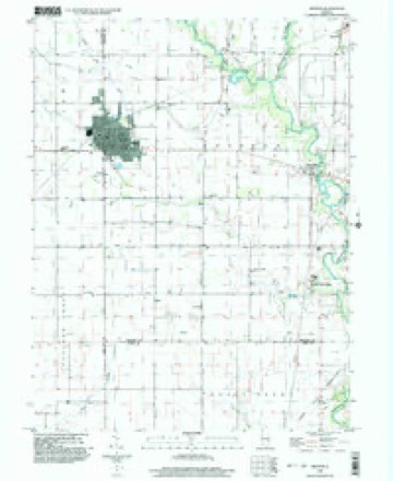
13 topographic sheets cover this place, the earliest surveyed in 1935 and the latest in 1998. It stands in Bourbon Township. It lies in ZIP code area 61911. The Survey maps it on the Arthur quadrangle. 2,231 people lived here at the 2020 count. It stands 663 feet above sea level.
Population over time
2 figuresArthur fell from 2,288 to 2,231 between 2010 and 2020. These are the recorded population figures Wikidata holds for this place, reached through the Geographic Names Information System number this page is keyed on rather than by name, so they belong to this place and not to another of the same name. Most are census counts, but not all are: an early figure may be a founding or settlement estimate, and an estimate published within five years of a census is left out. The change column is computed, and is left blank where more than 20 years separate a figure from the one before it, because a gap that long is not a change between two counts.
| Year | People | Change |
|---|---|---|
| 2010 | 2,288 | |
| 2020 | 2,231 | -57 (-2%) |
Topographic sheets covering this place
8 surveys from 13 printed sheetsMatched by testing this settlement's coordinate against the published boundary of every sheet in the United States Geological Survey's historical collection. Each opens the scanned sheet at the Survey.
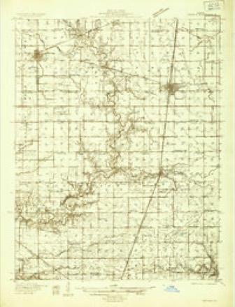
- 1935 USGS Arcola quadrangle1:48000
- 1935 USGS Arcola quadrangle1:62500, 2 printings
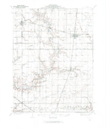
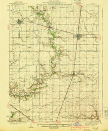
- 1940 USGS Arcola quadrangle1:62500
- 1958 USGS Decatur quadrangle1:250000, 3 printings
- 1961 USGS Decatur quadrangle1:250000, 2 printings
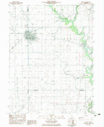
- 1983 USGS Arthur quadrangle1:24000
- 1985 USGS Decatur quadrangle1:100000, 2 printings
- 1998 USGS Arthur quadrangle1:24000



In the county-history sources
1,730 words on this townshipHistory of Douglas County, Illinois, published 1876 names this settlement in its chapter on Bourbon Township. These are the passages that mention it, exactly as the scans read.
The town of Arthur, one of the most recent enterprises of the kind, is in section 30, 15, 7, and was laid off by the Paris & Decatur Railroad, on the lands of Warren in Moultrie county, and the Murphy's of Douglas. It is a thriving place with several stores and elevators, and having in it some of the best business talent of the country. Its importance as a shipping and trading point is being reluctantly acknowledged by neighboring towns. The first business house was put up by Jacob Sears. The population in 1S75 was about 300.
Passage source: History of Douglas County, Illinois, published 1876.
in 1859 and again in 1861. Caleb Bales was Associate Justice for a term beginning November, 1S61, and was also Supervisor in 1S72. Samuel B. Logan was the first Sheriff of the county, 1 S59. Newton I. Cooper was made Sheriff in 1S70 Lemuel Chandler served as Supervisor in 1868-69-70-71, and had also charge of the interests of the county in realizing from the State the amount due from swamp lands. M.D.Bartholomew was Supervisor in 1873, and was succeeded by Andrew Ray in 1S74, who was returned in 1S75. The present Supervisor is J. F. Bouck, who came from Ohio in 1S66. fie served with a Captain's commission in the 154th Regiment of that State in the war of 1S61.
Passage source: History of Douglas County, Illinois, published 1876.
Machine-read from a century-old scan, so expect the errors a machine makes: misspelled names, dropped words, stray characters.
Storms near this place
29 since 1998Regional context, not property-specific evidence. The National Weather Service names Arthur in 29 storm reports between 1998 and 2026: 16 thunderstorm wind, 10 hail, 2 tornado, 1 flash flood. The reports record 4 injuries. Each account below is quoted exactly as the forecast office filed it, from the NOAA Storm Events Database, and each date opens the federal record of that event.
| When | Event | Place named | Harm | What the report says |
|---|---|---|---|---|
| April 1998 | Tornado (F2) | Arthur | 4 hurt | no account filed |
| November 2013 | Thunderstorm Wind | Arthur | $50,000 | A portable buildings factory was damaged about 2.8 miles northeast of Arthur at 240E and 575N. |
| June 2009 | Thunderstorm Wind | Arthur | $40,000 | Numerous tree limbs and power lines were blown down. |
| June 2008 | Thunderstorm Wind | Arthur | $25,000 | Numerous trees, tree limbs and power lines were blown down. |
| March 2017 | Thunderstorm Wind | Arthur | $20,000 | A roof was partially blown off a building and a sign and fence were damaged. |
| July 2015 | Thunderstorm Wind | Arthur | $10,000 | A tree and a few power lines were blown down in Arthur. |
| June 2013 | Thunderstorm Wind | Arthur | $8,000 | Power lines were blown down in Arthur. |
| March 2026 | Tornado (EF0) | Arthur | - | The tornado began about two miles southeast of Arthur near N County Road 100 E, producing damage to trees and outbuildings and strewing the debris across fields to the northeast. The tornado turned east, producing additional tree and outbuilding damage along E County Road 300 N. The tornado then turned sharply north, producing similar tree and outbuilding damage before dissipating prior to reaching Highway 133. The tornado was rated EF-0, and was in progress for three minutes. |
| December 2025 | Thunderstorm Wind | Arthur | - | A portion of a dairy barn was destroyed and the top of a tree was snapped. |
| July 2024 | Thunderstorm Wind | Arthur | - | Large tree branches were blown down. |
| November 2017 | Thunderstorm Wind | Arthur | - | A power line was blown down on the northwest side of Arthur. |
| February 2008 | Flash Flood | Arthur | - | Many roads were flooded in Douglas county. |
| June 2007 | Thunderstorm Wind | Arthur | - | Several large tree limbs were blown down. |
| May 2004 | Thunderstorm Wind | Arthur | - | Thunderstorm winds blew down a tree onto a house on the northeast side of Arthur. Only minor damage to the house. No injuries were reported. |
| May 2004 | Thunderstorm Wind | Arthur | - | Several power lines and trees were blown down. |
| May 2003 | Thunderstorm Wind | Arthur | - | Thunderstorm winds blew down several trees and power lines. |
| August 2000 | Hail | Arthur | - | Golfball sized hail was reported in Arthur on both sides of the Moultrie/Douglas county line with a second storm that moved through the area. |
| August 2000 | Hail | Arthur | - | One inch hail was reported in Arthur on both sides of the Moultrie/Douglas county line. |
| June 1999 | Thunderstorm Wind | Arthur | - | Several trees, tree limbs and power lines were blown down in Atwood, Arthur and Garrett. |
| March 2024 | Hail | Arthur | - | no account filed |
| July 2023 | Hail | Arthur | - | no account filed |
| July 2022 | Hail | Arthur | - | no account filed |
| November 2017 | Hail | Arthur | - | no account filed |
| September 2008 | Hail | Arthur | - | no account filed |
| March 2005 | Thunderstorm Wind | Arthur | - | no account filed |
| April 2003 | Hail | Arthur | - | no account filed |
| April 1998 | Thunderstorm Wind | Arthur | - | no account filed |
| April 1998 | Hail | Arthur | - | no account filed |
| April 1998 | Hail | Arthur | - | no account filed |
Nearest settlements
The eight closest, with where each one stands in the county. Distances are straight-line, computed from the Geographic Names Information System coordinates.
| Map | Place | Distance | Sheets |
|---|---|---|---|
| Chesterville | 4.4 miles | 13 | |
| Fillmore (historical) | 4.8 miles | 13 | |
| Bourbon | 5.4 miles | 13 | |
| Atwood | 5.9 miles | 14 | |
| Garrett | 6.3 miles | 14 | |
| Ficklin | 8.5 miles | 14 | |
| Arcola | 9.0 miles | 13 | |
| Galton | 9.3 miles | 13 |
Elsewhere
Matched on this settlement's Geographic Names Information System number rather than its name, so it cannot be a different place of the same name in another state.
| Wikipedia article on Arthur | An encyclopaedic summary. Its text is share-alike, so it is linked here rather than copied. |
| Wikidata item Q1876997 | The structured record the population and elevation above come from. Public domain (CC0). |
Provenance
This settlement is recorded in the Geographic Names Information System as feature 403645. The sheet list is computed by point-in-boundary test against the United States Geological Survey's historical topographic inventory. Both are works of the United States government and carry no copyright under 17 U.S.C. 105.
Storms. NOAA National Centers for Environmental Information, Storm Events Database https://www.ncei.noaa.gov/stormevents/ A work of the United States government, no copyright under 17 U.S.C. 105. Narratives are quoted verbatim from the National Weather Service report and are not edited or summarised.